Prospect Expressway, Church Avenue, Coney Island Avenue, Caton Avenue, Linden Boulevard, North Conduit Avenue, South Conduit Avenue, Sunrise Highway, North Road, Flying Point Road, Montauk Highway
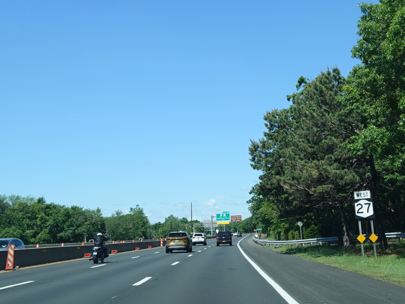
Westbound Views
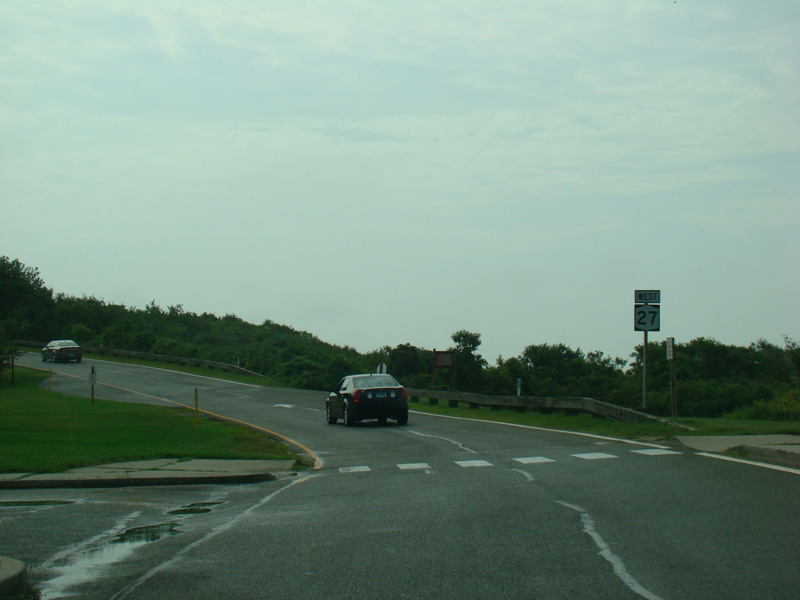
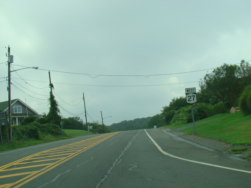
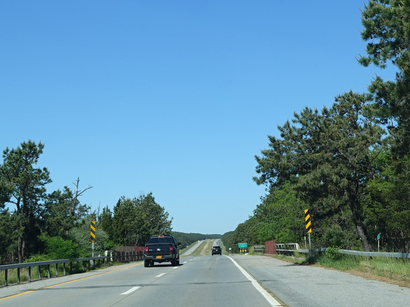
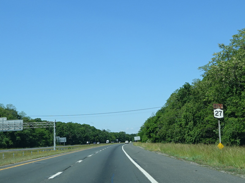
The easternmost portion of NY 27 is a one-way, one-lane circular loop in Montauk Point State Park. The designation changes from NY 27 eastbound to NY 27 westbound just past the parking lot for the Montauk Point Lighthouse.
Photos taken August 2012.

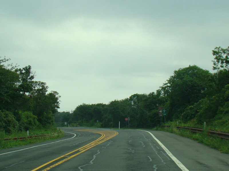
The two ends of the loop come together to form a two-lane undivided road called Montauk Highway, which runs to the west.
Photos taken August 2012.
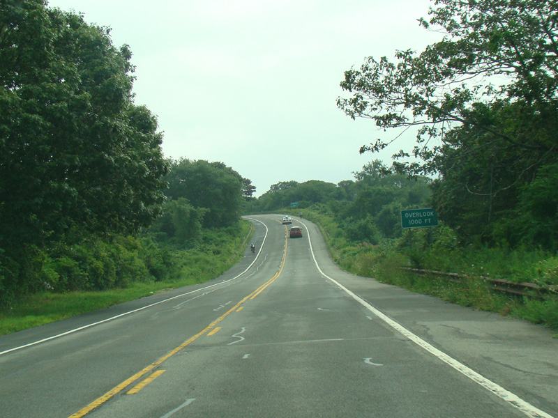
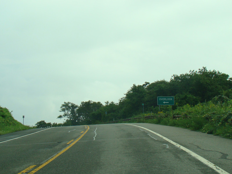
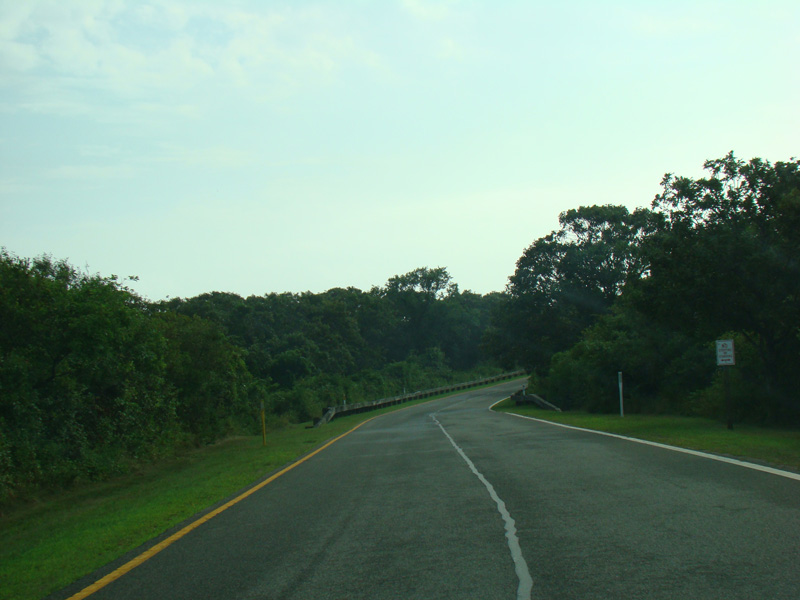
There is a scenic overlook to the left here.
Photos taken August 2012.

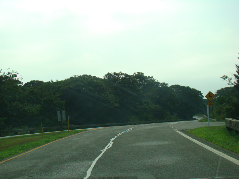
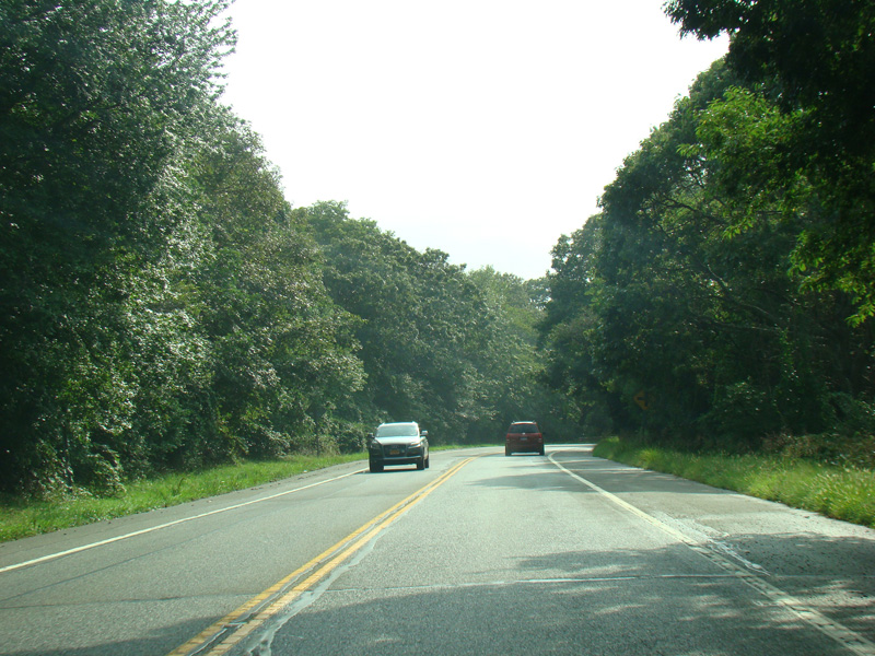
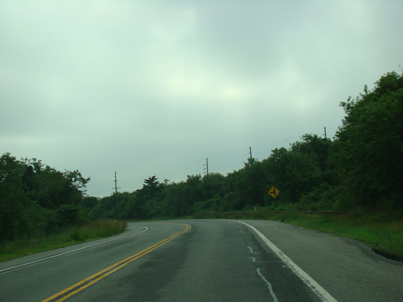
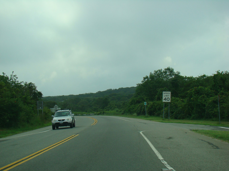
Montauk Highway continues to the west
Photos taken August 2012.
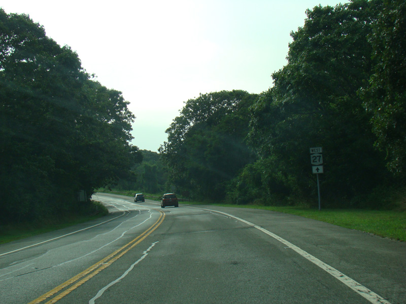
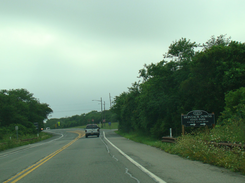
East Lake Drive begins on the right. Turn right here for Montauk Airport.
Photo taken August 2012.
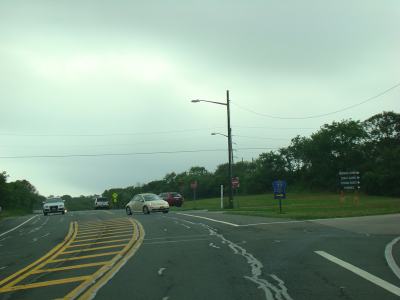
After a short distance, West Lake Drive (CR 77) begins on the right. Turn right here for Montauk Harbor.
Photos taken August 2012.


Montauk Highway comes into Montauk village. There is a turnoff to the right for Edgemere Street (CR 49), which begins here.
Photos taken August 2012.

Old Montauk Highway begins on the left here and runs parallel to Montauk Highway for a few miles. Turn right for Second House Road.
Photo taken August 2012.
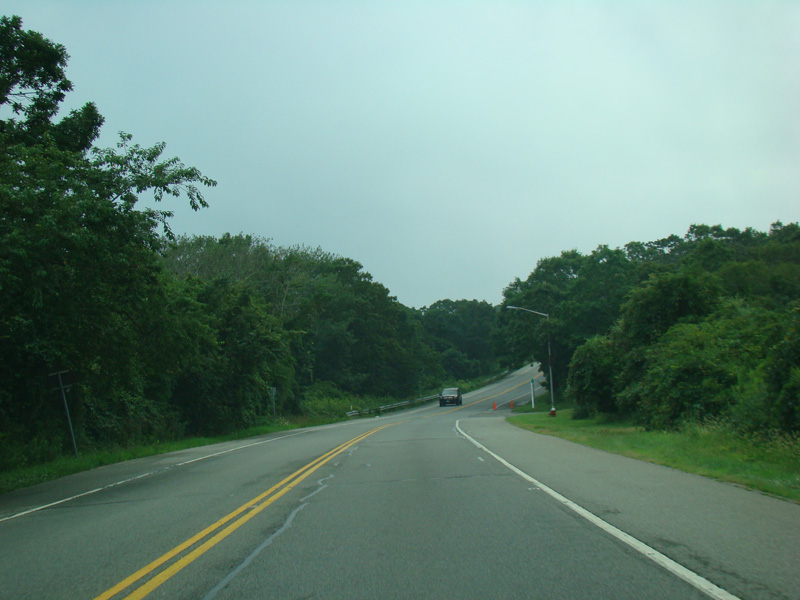


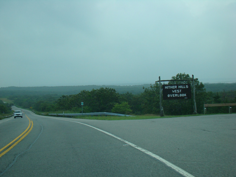

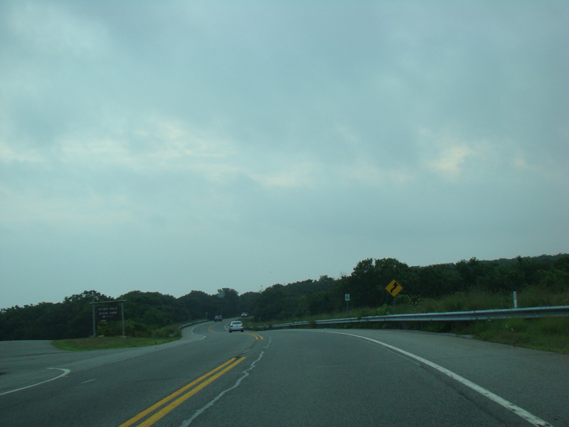
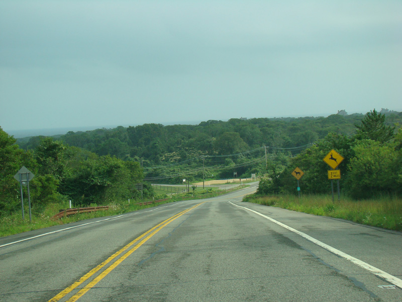
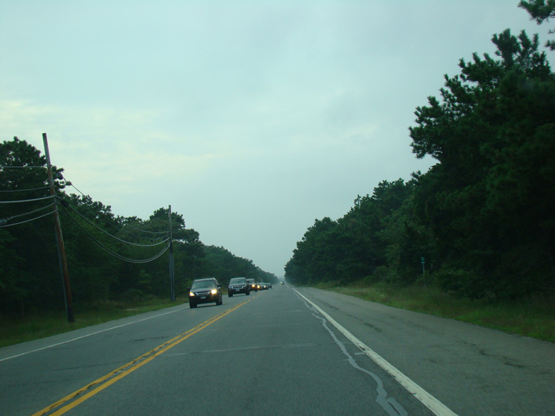
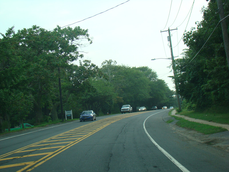
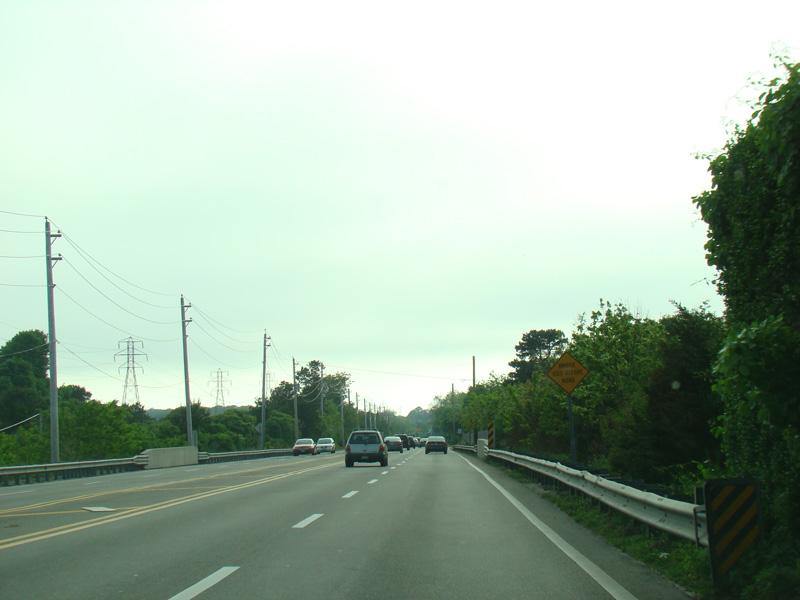
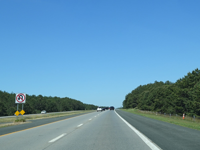
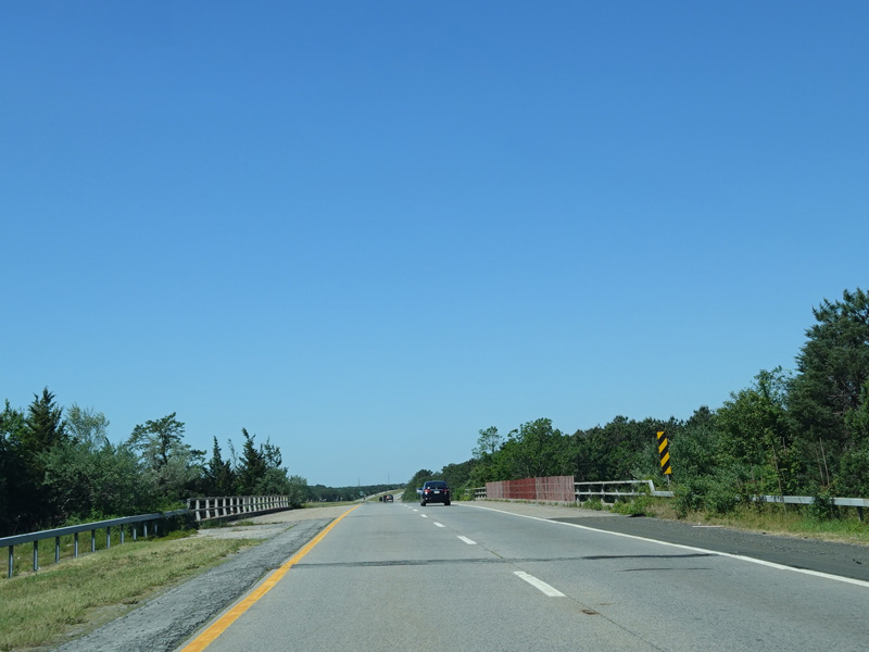
Montauk Highway runs east through Hither Hills State Park. There is a scenic overlook to the right.
Photos taken August 2012.
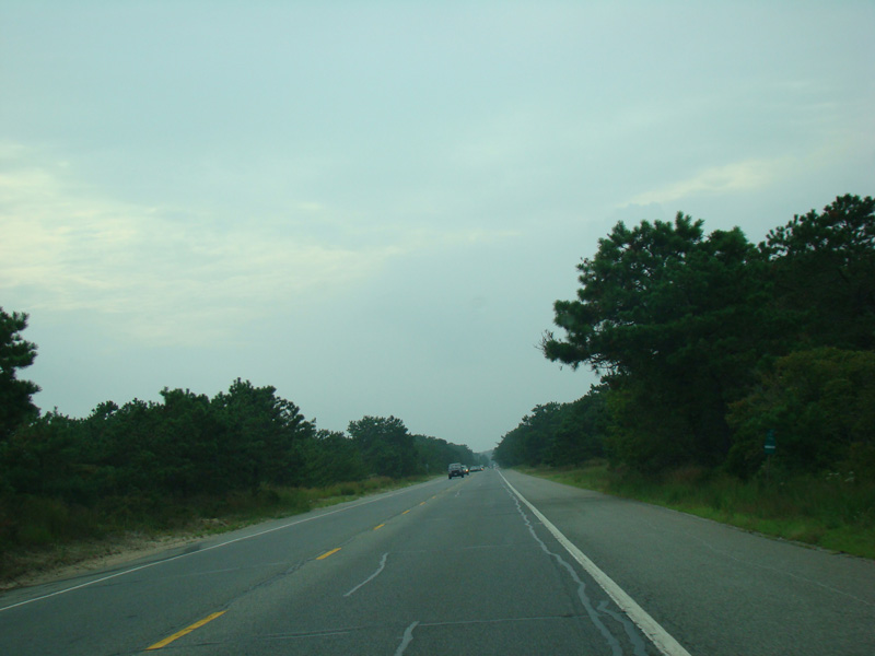
Old Montauk Highways merges in from the left.
Photo taken August 2012.


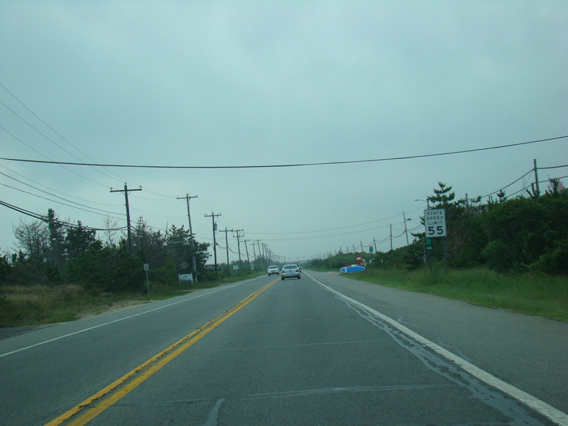
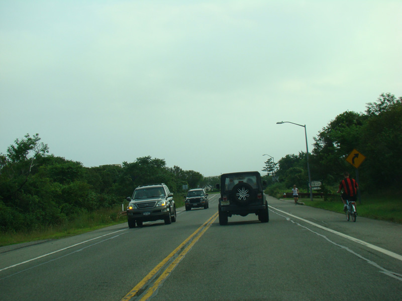
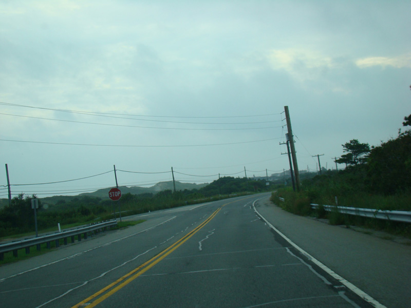
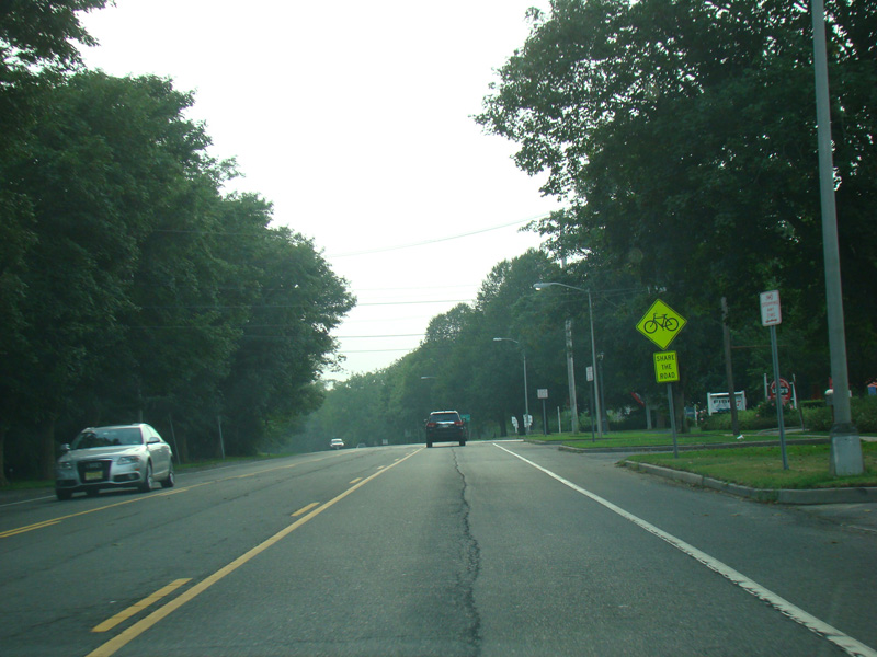
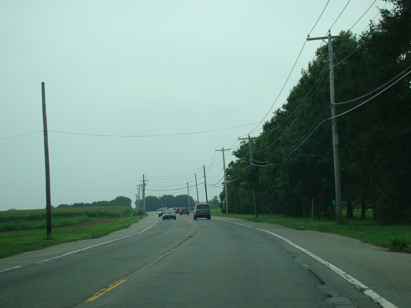
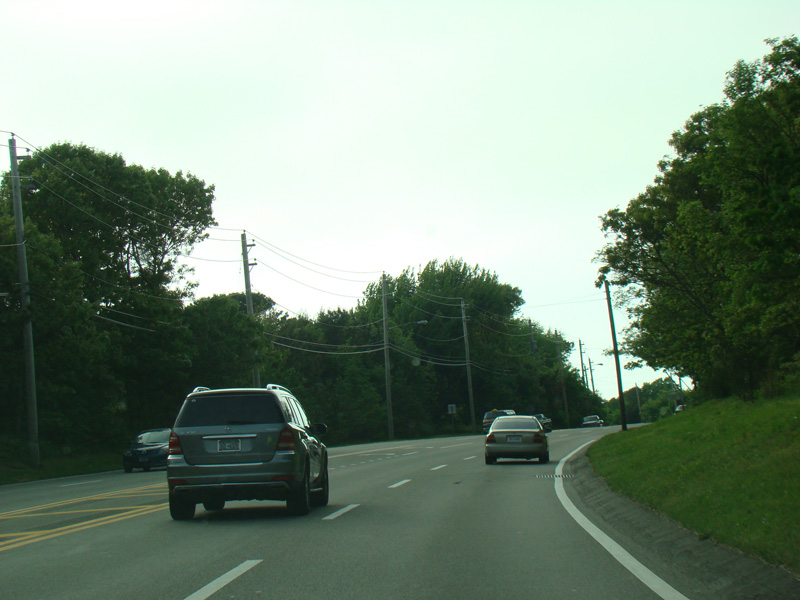
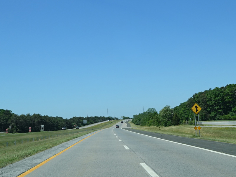
A narrow strip of land called Napeague connects Montauk to Amagansett. There are a number of resorts along this stretch.
Photos taken August 2012.

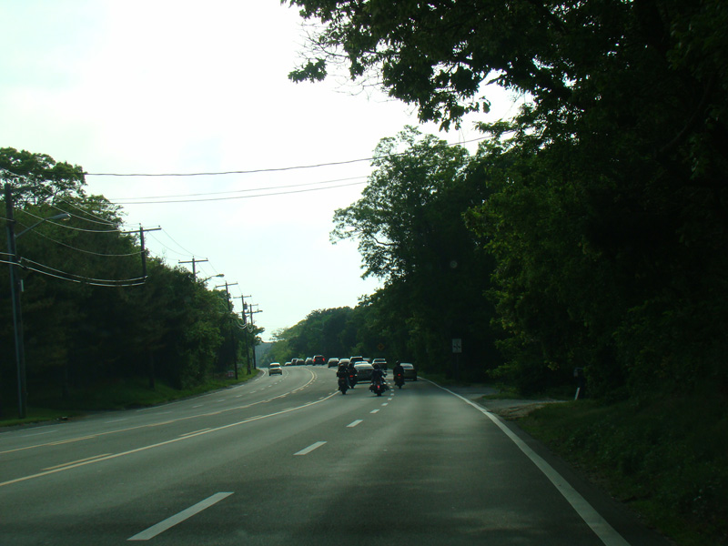
Montauk Highway runs east through Amagansett.
Photos taken August 2012.
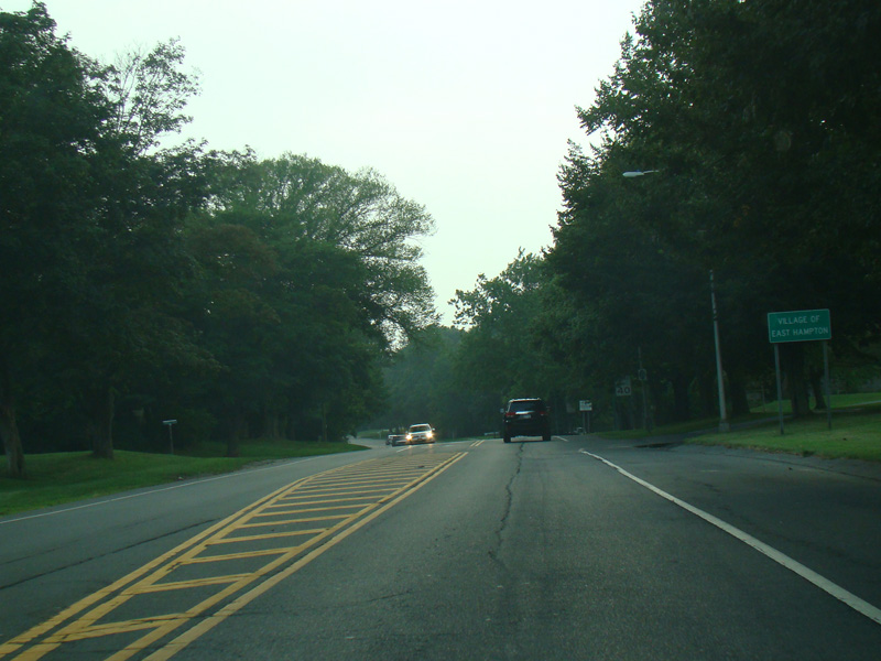

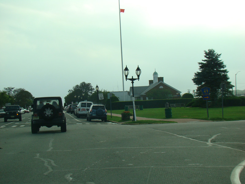
Welcome to the Village of East Hampton!
Photos taken August 2012.
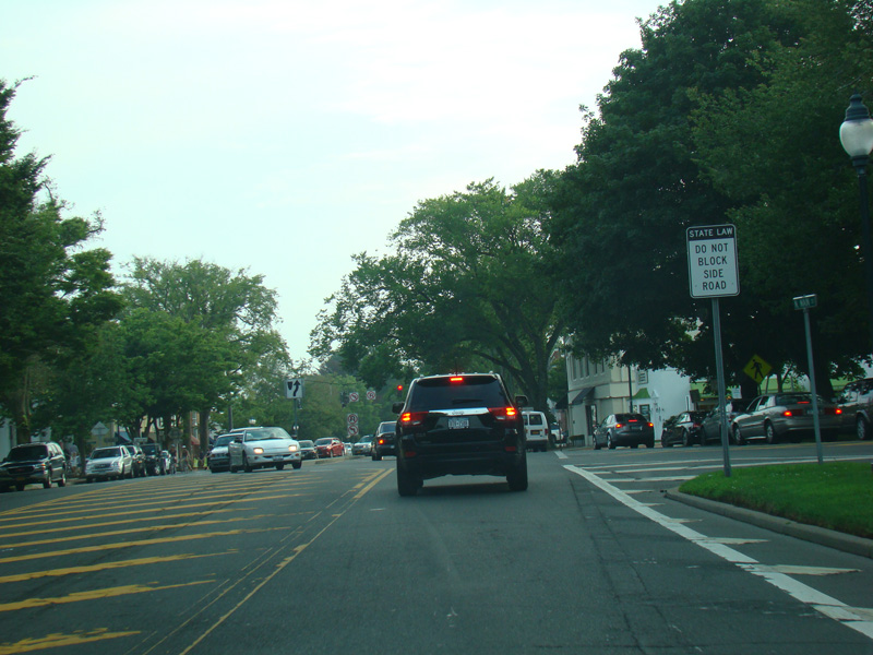
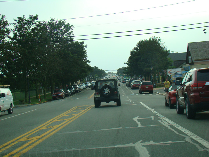
North Main Street merges in from the right, and Montauk Highway widens to four lanes in East Hampton's main business district.
Photos taken August 2012.


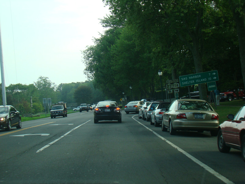
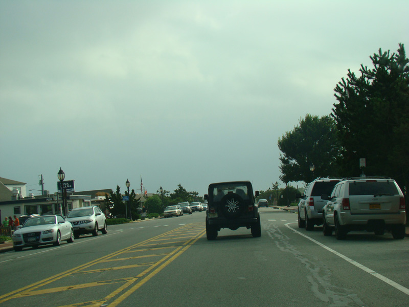
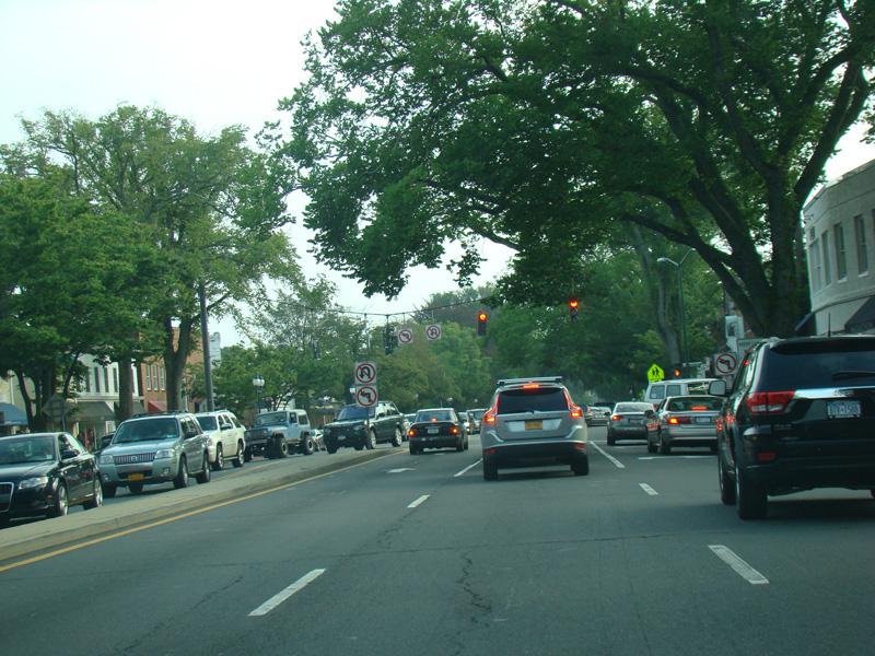
After a short distance, Montauk Highway narrows down to two lanes again. NY 114 begins on the right and runs north from here to Sag Harbor and Shelter Island.
Photos taken August 2012.
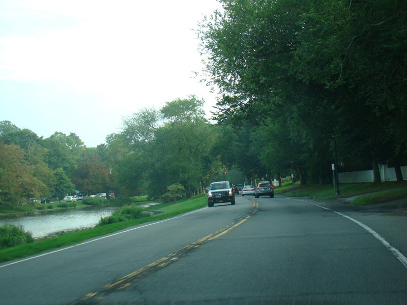
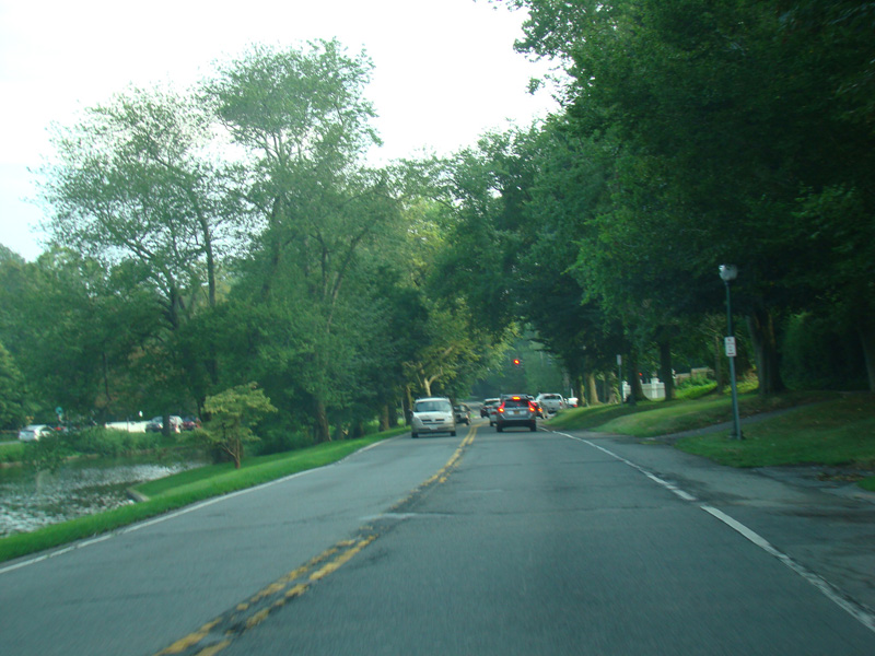
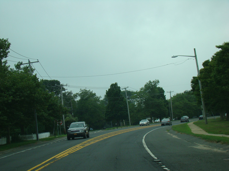
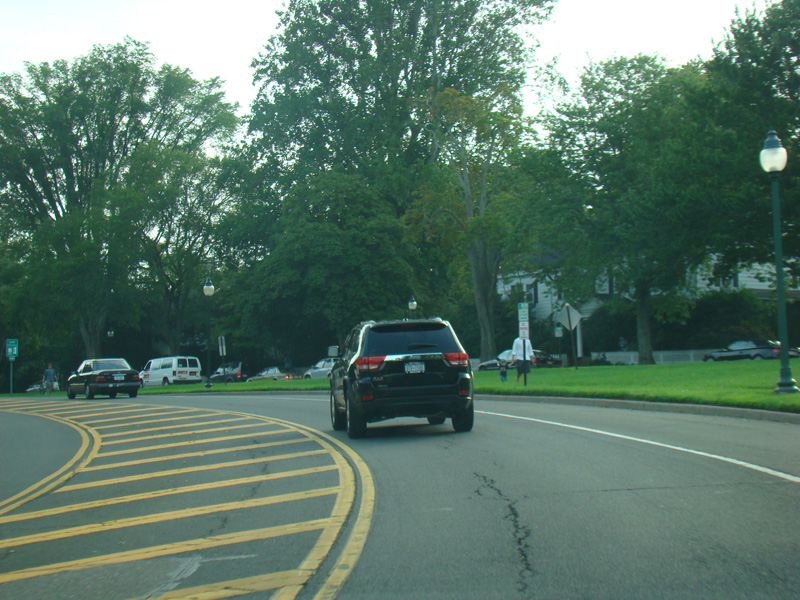
There is a pond on the left here.
Photos taken August 2012.
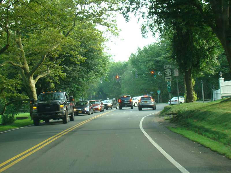
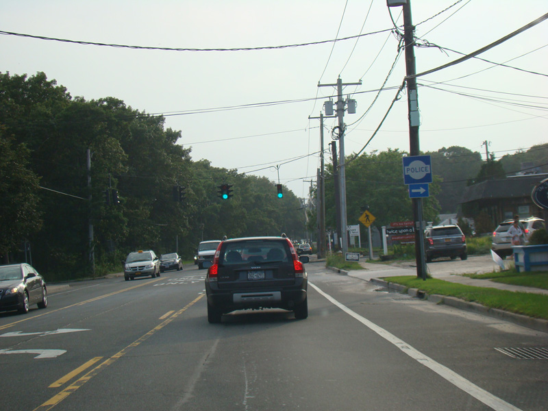
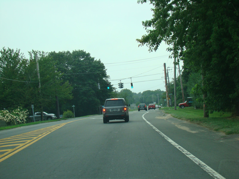
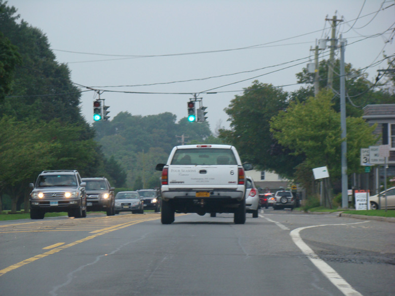
Turn right at this traffic light to stay on Montauk Highway.
Photo taken August 2012.
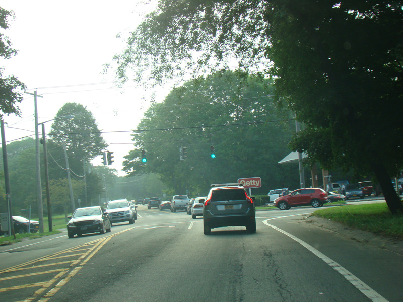
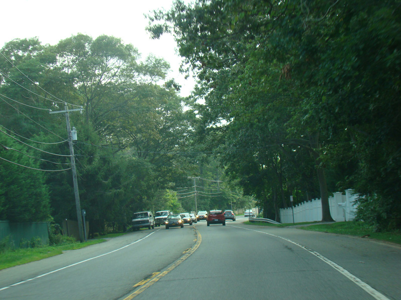

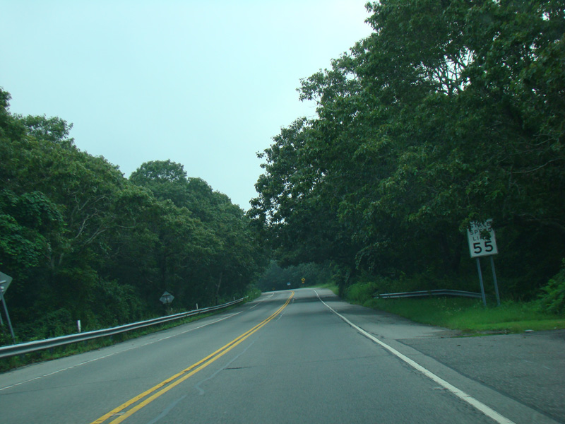
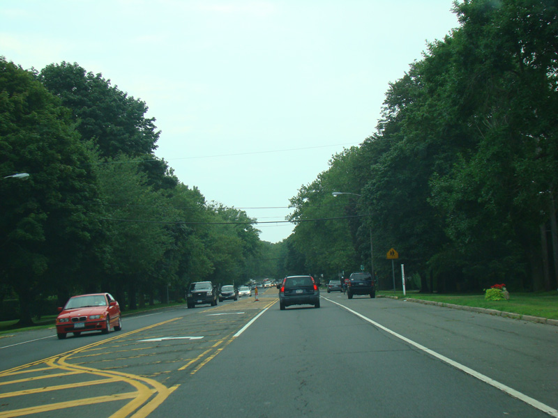
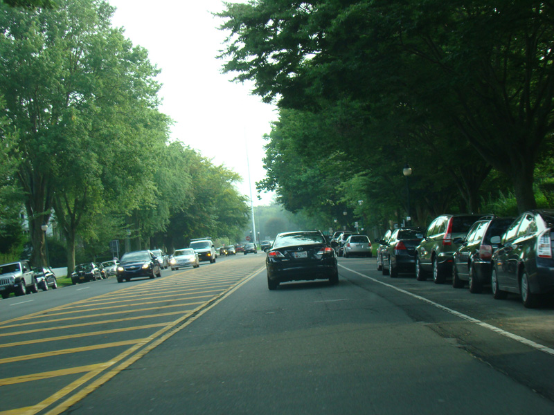
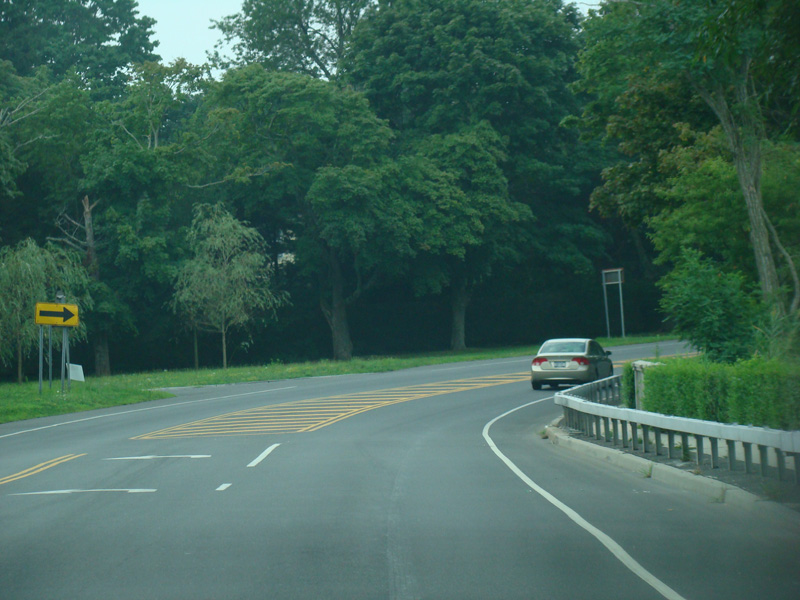
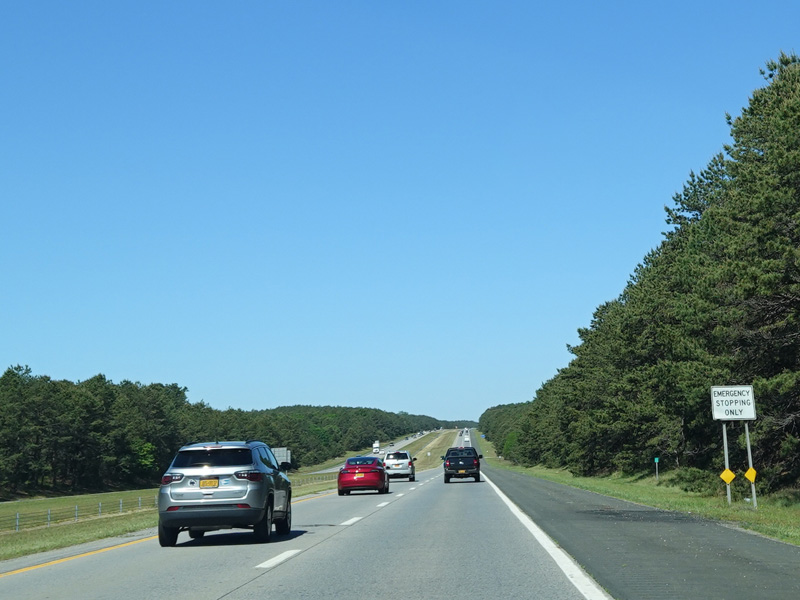
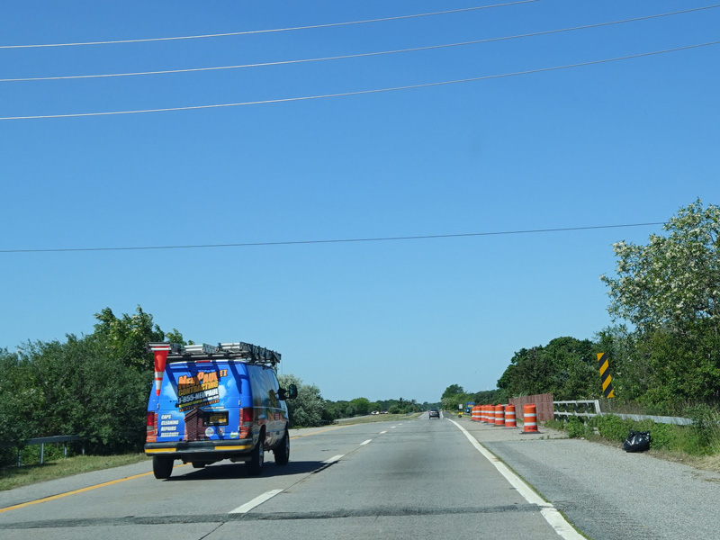
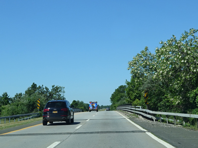
Montauk Highway continues east as a two-lane undivided road.
Photos taken August 2012.
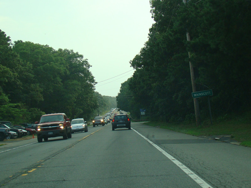

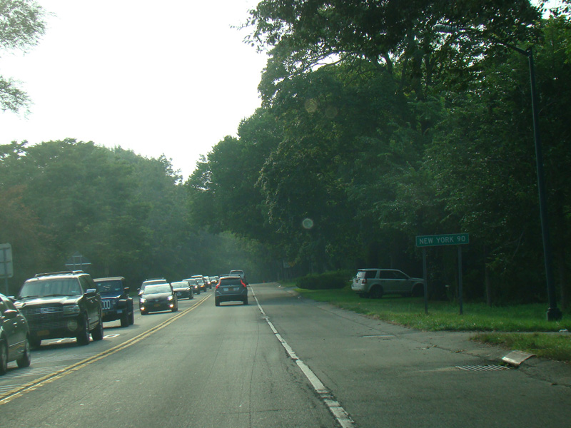
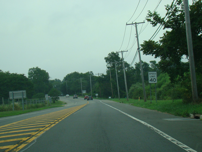
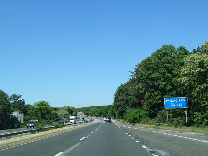
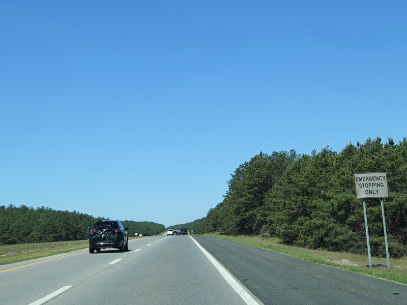
Montauk Highway runs through Wainscott. There is a parking area on the right.
Photos taken August 2012.
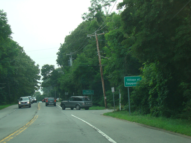
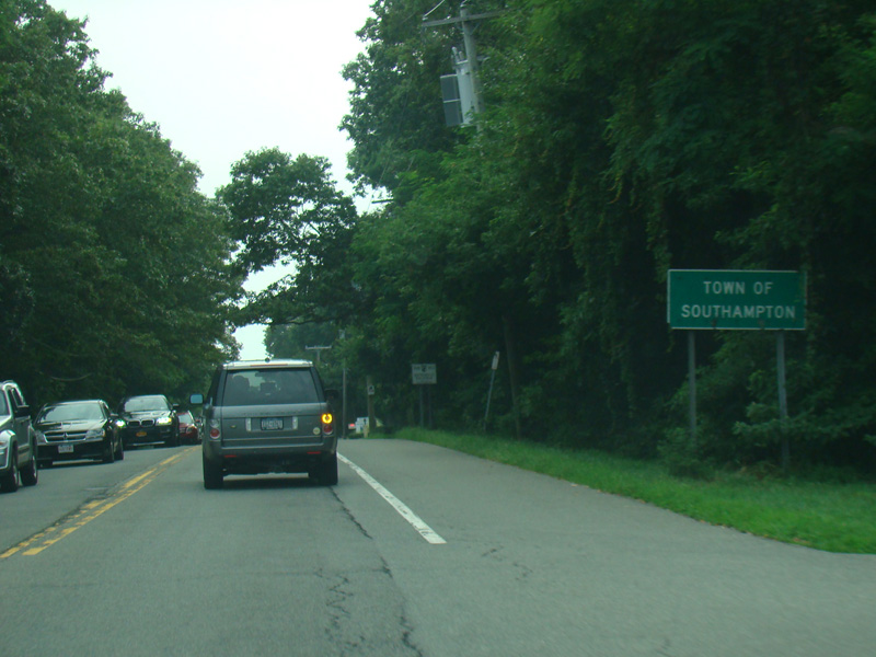
Welcome to the Town of Southampton! The first village in the town is Sagaponack.
Photos taken August 2012.

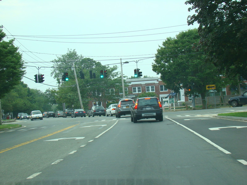
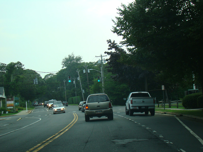
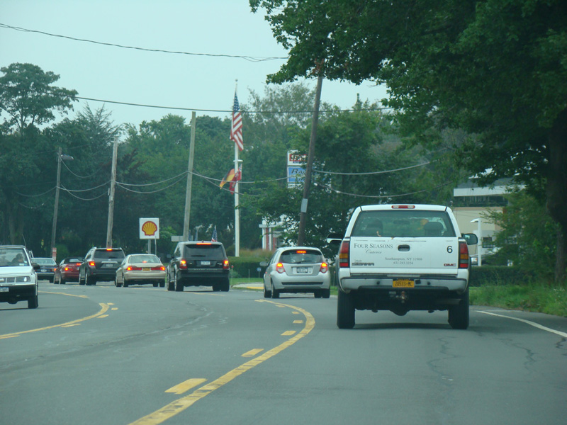
Bridgehampton-Sag Harbor Turnpike (CR 79) begins on the right at this traffic light.
Photos taken August 2012.


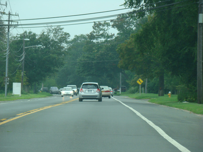
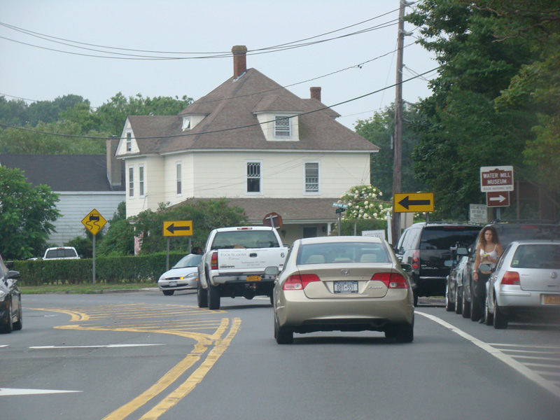
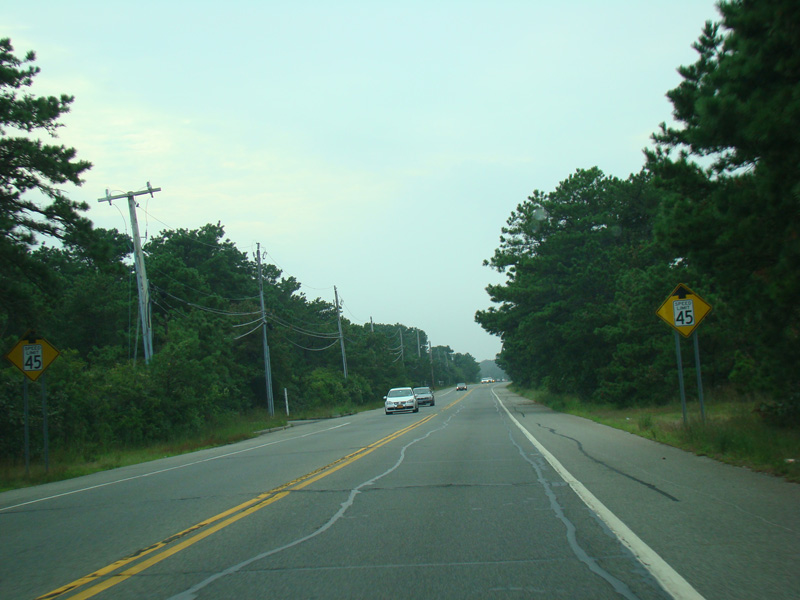
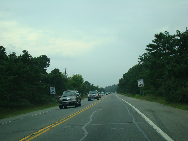
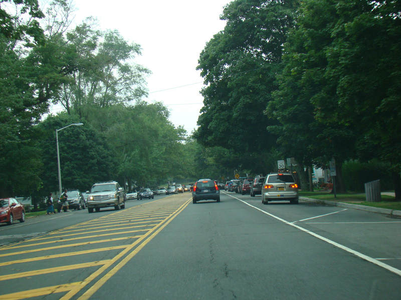
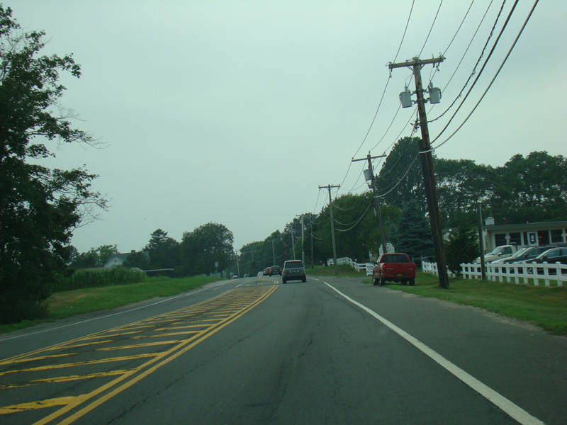
Montauk Highway continues east through Bridgehampton and Water Mill.
Photos taken August 2012.


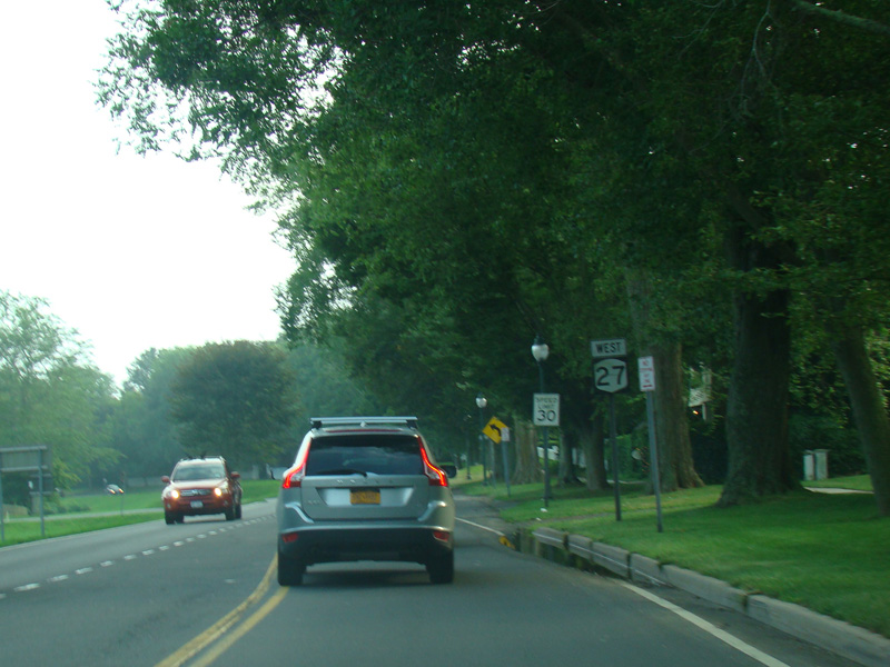
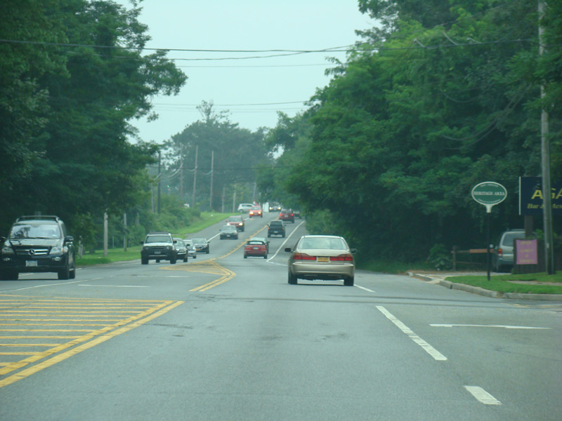
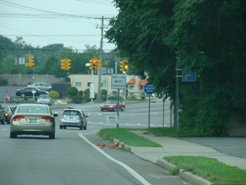
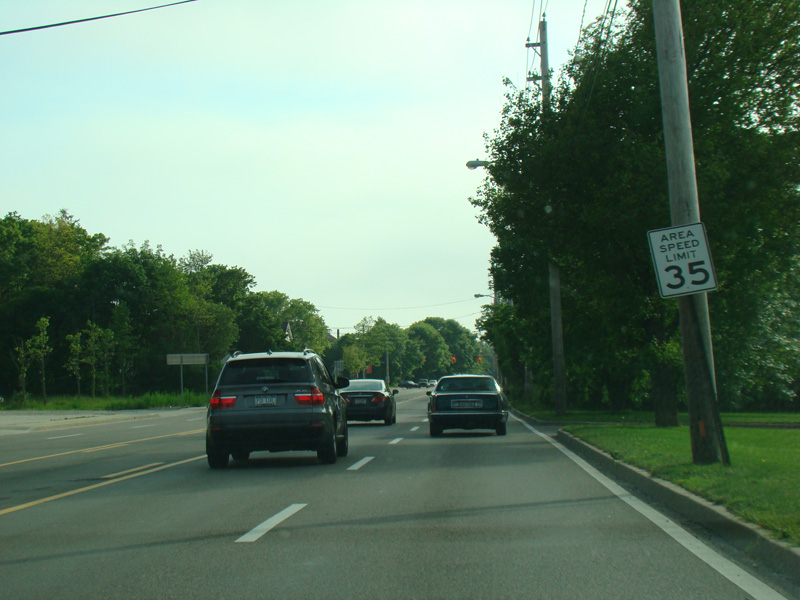
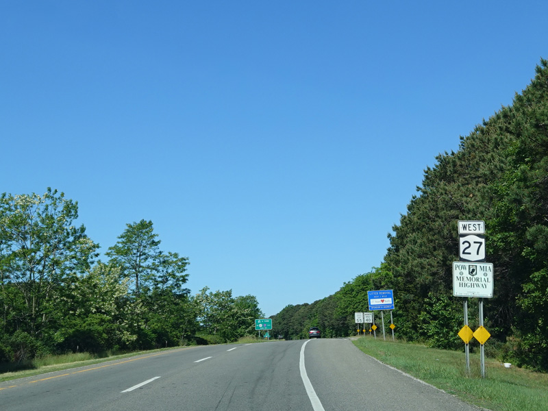
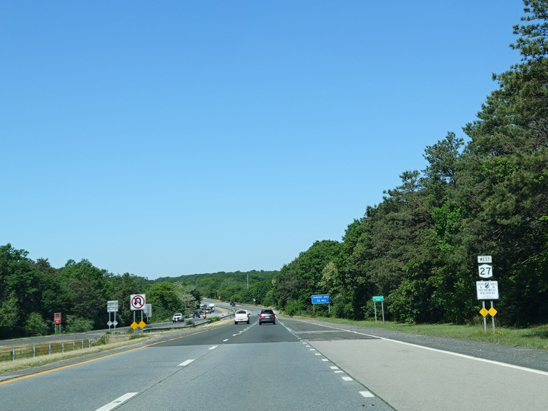
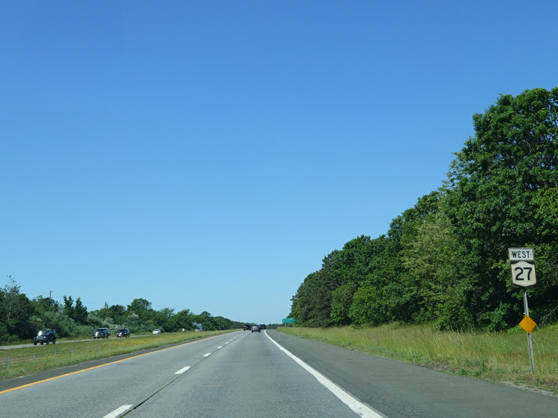
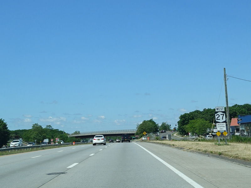
Montauk Highway has a gap for a few miles. Hampton Road is straight ahead at this traffic light. Montauk Highway begins again a few miles west of here as the unsigned section of NY 27A. To stay on NY 27, turn right onto Flying Point Road (CR 39A).
Photos taken August 2012.


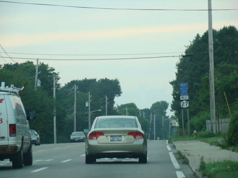
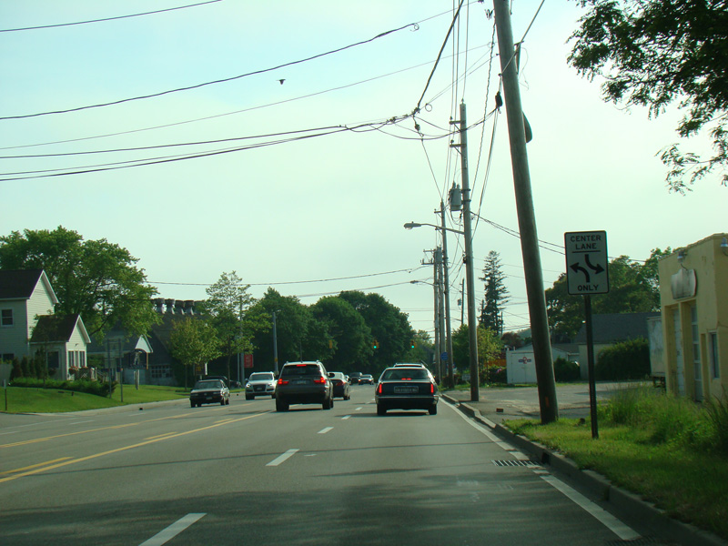
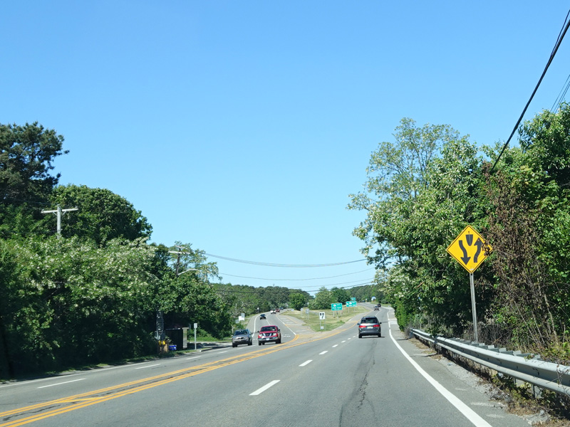
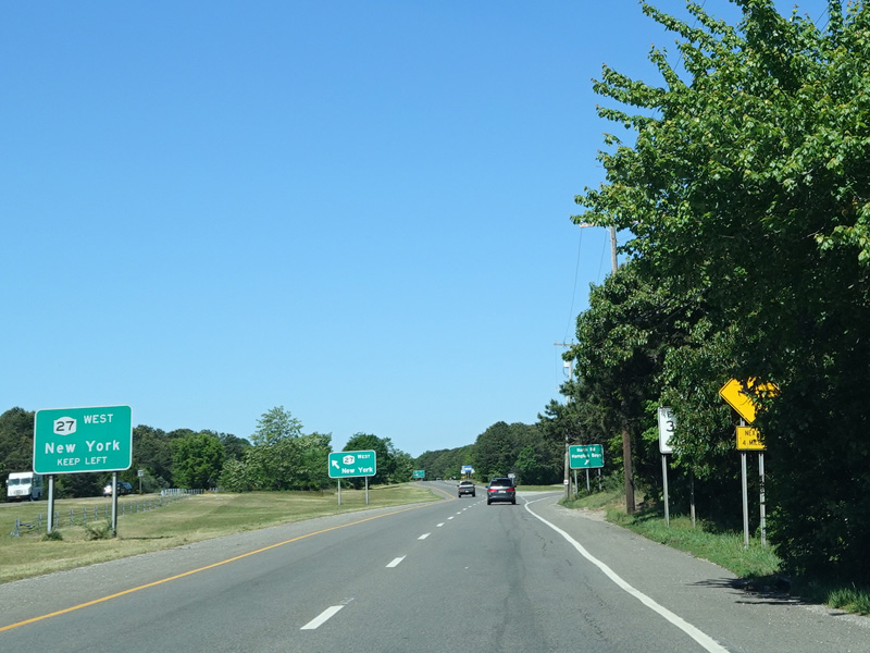
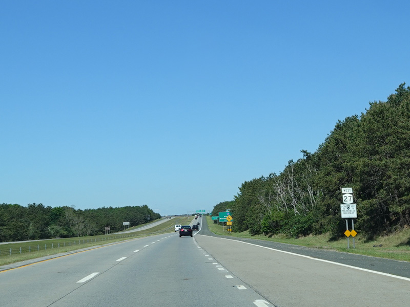
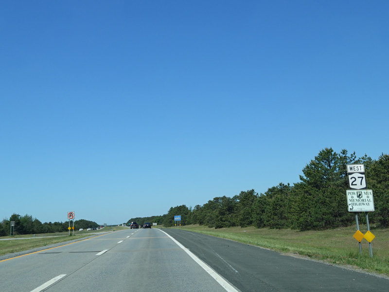
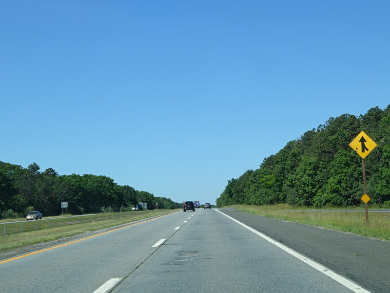
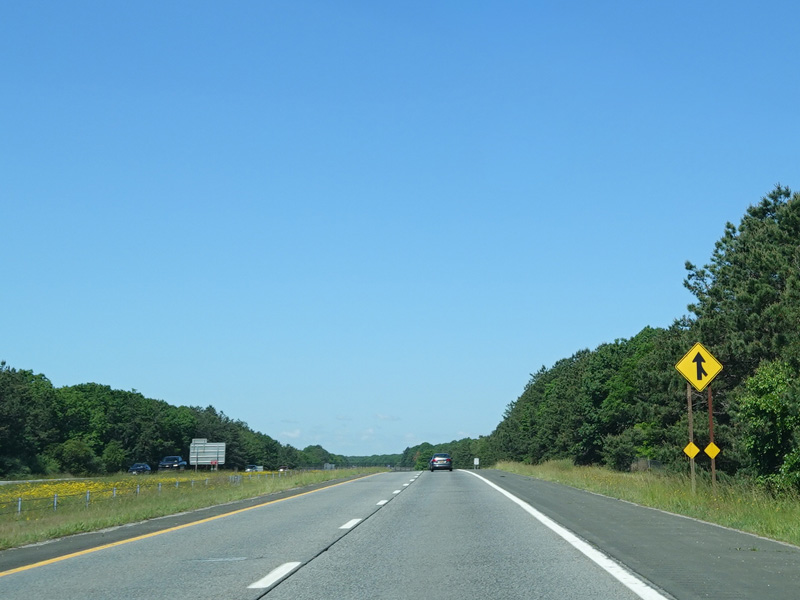
CR 39A is multiplexed with NY 27 for its entire length, which is less than a mile. It then changes both name and number to become North Road (CR 39). NY 27 is multiplexed with CR 39 for most its length.
Photos taken August 2012.
North Sea Road (CR 38) begins on the right at this traffic light.
Photo taken August 2012.
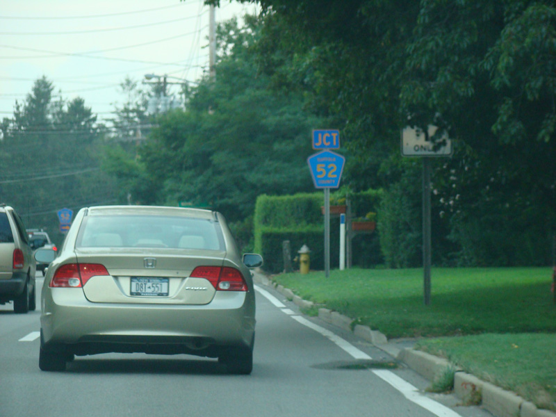
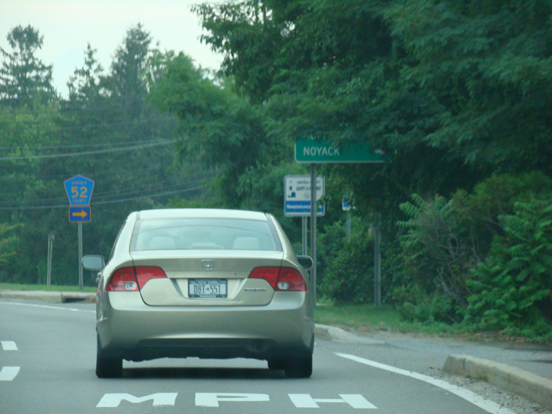
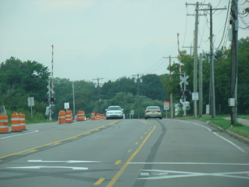
North Road widens to four lanes. After a short distance, Sandy Hollow Road (CR 52) begins on the right at a traffic light.
Photos taken August 2012.
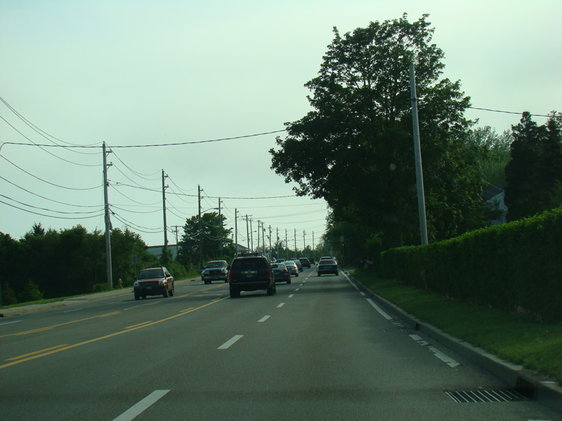

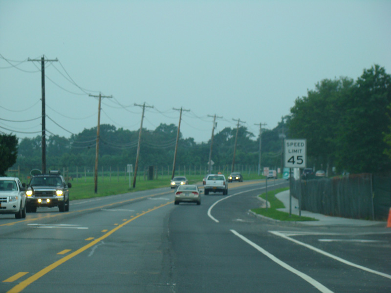
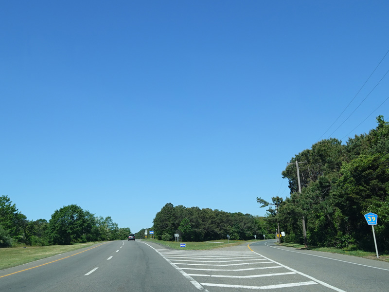
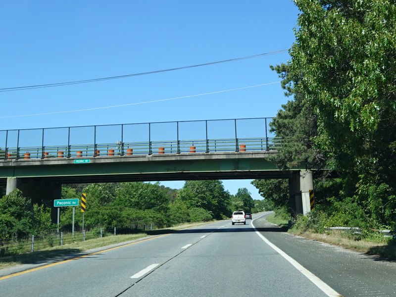
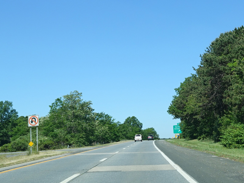
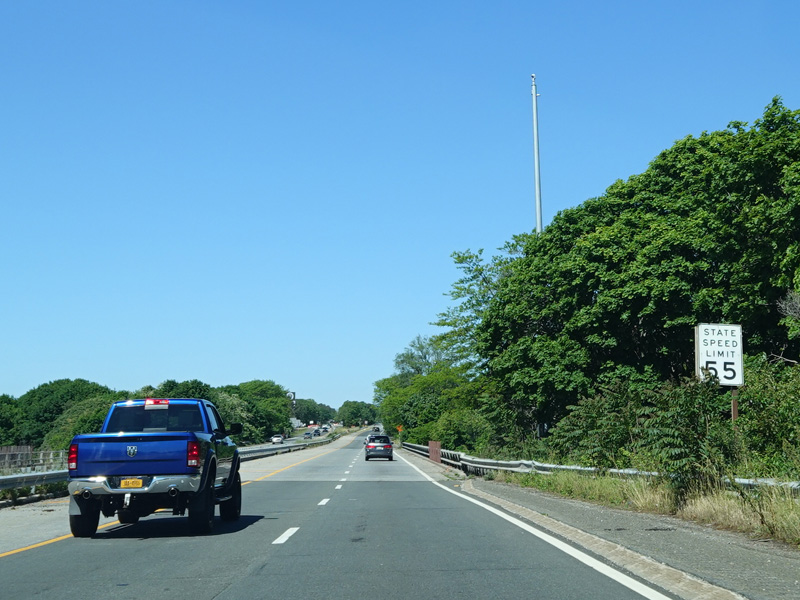
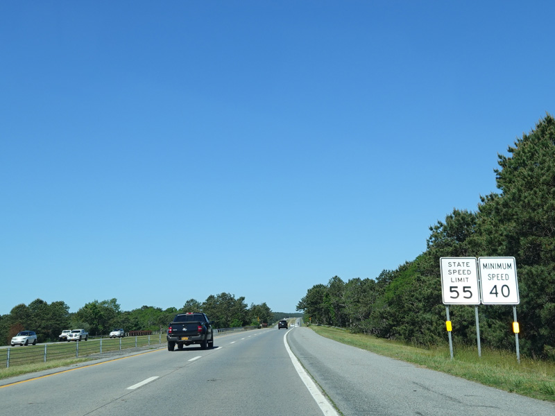
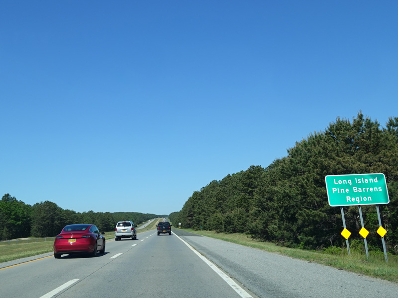
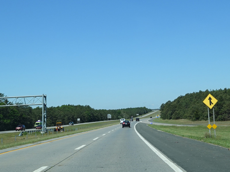
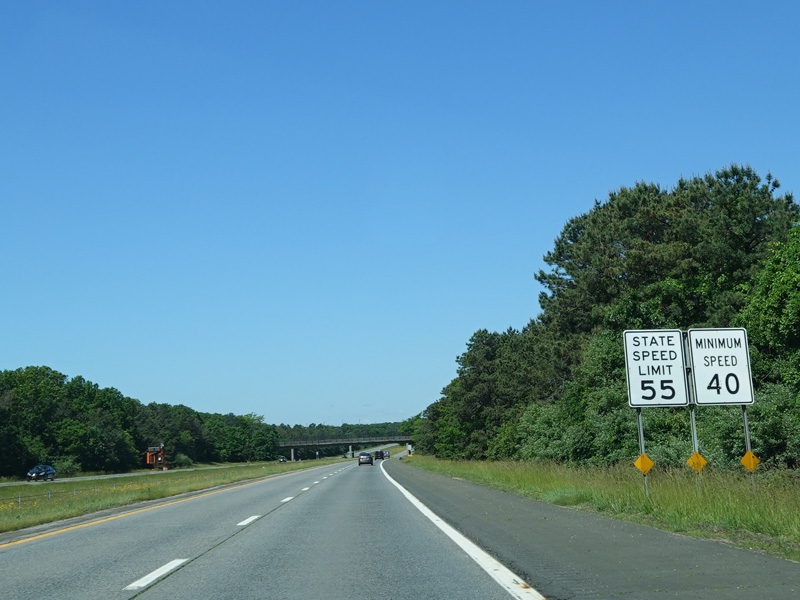
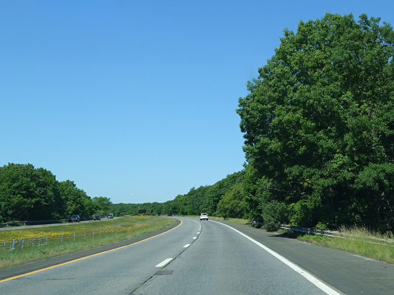
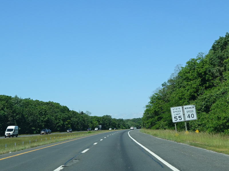
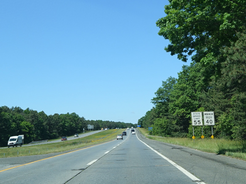
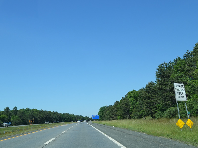
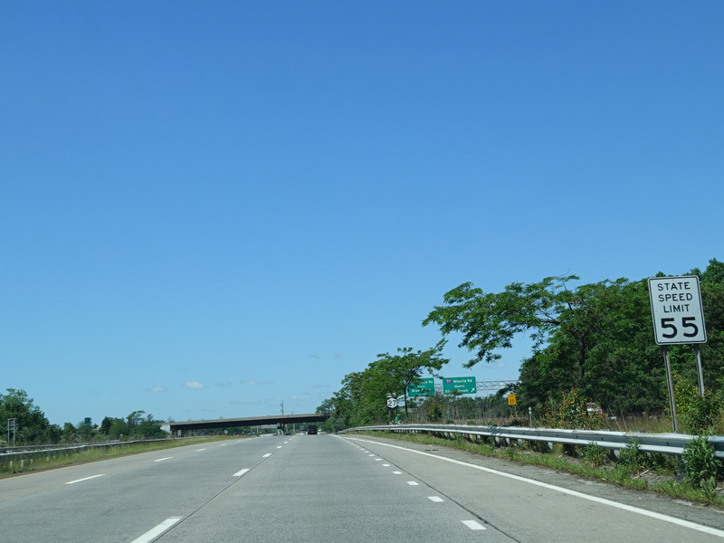
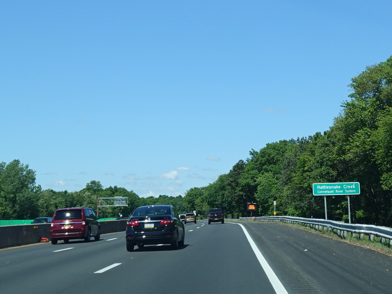
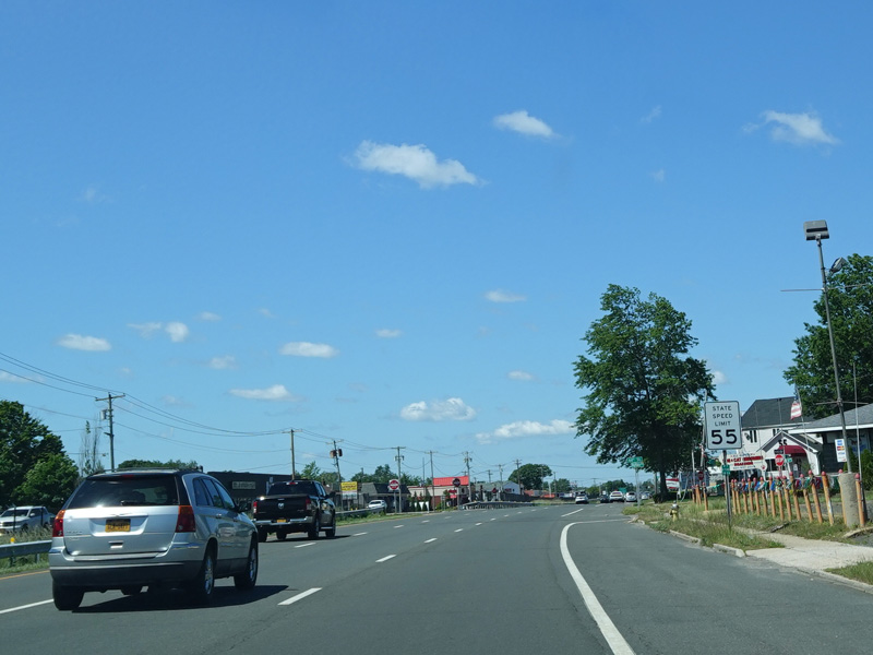
North Road runs west as a four-lane undivided from Southampton to Shinnecock Hills.
Photos taken May 2011.
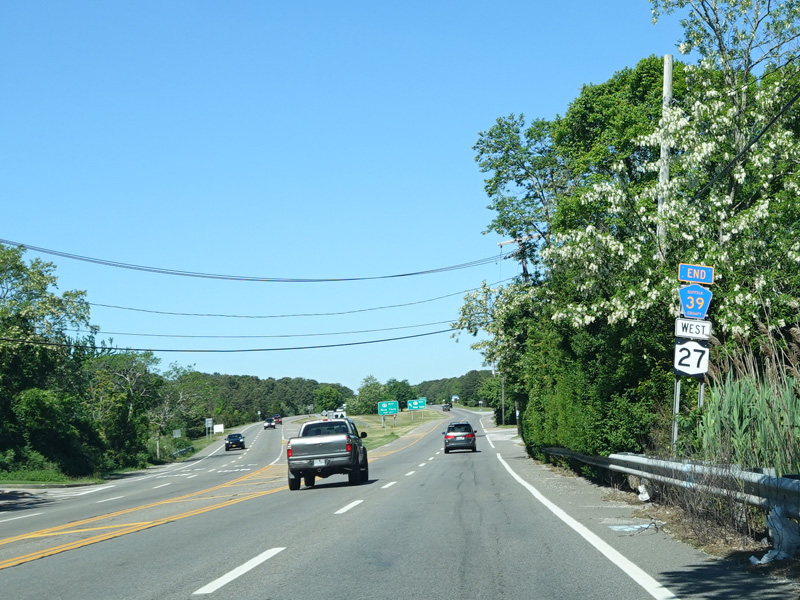


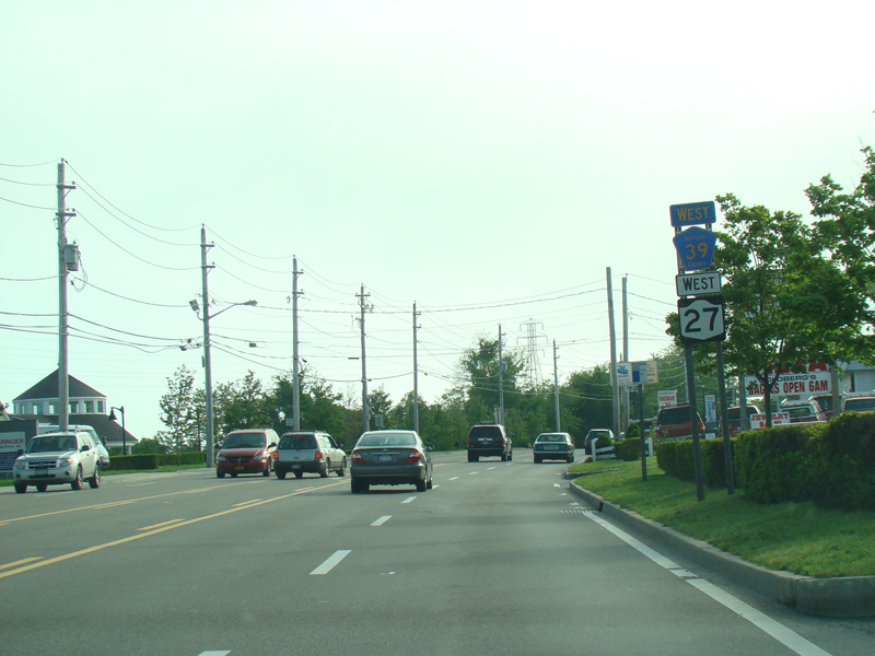
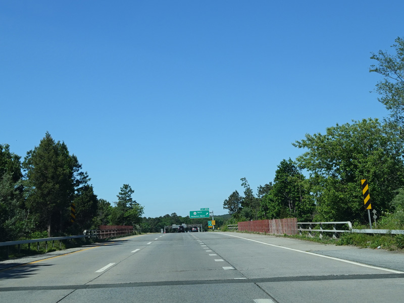
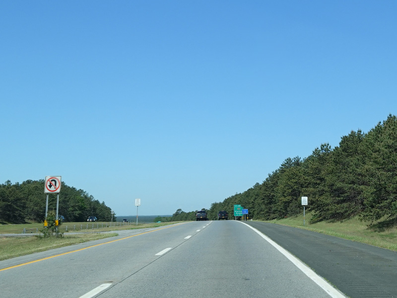
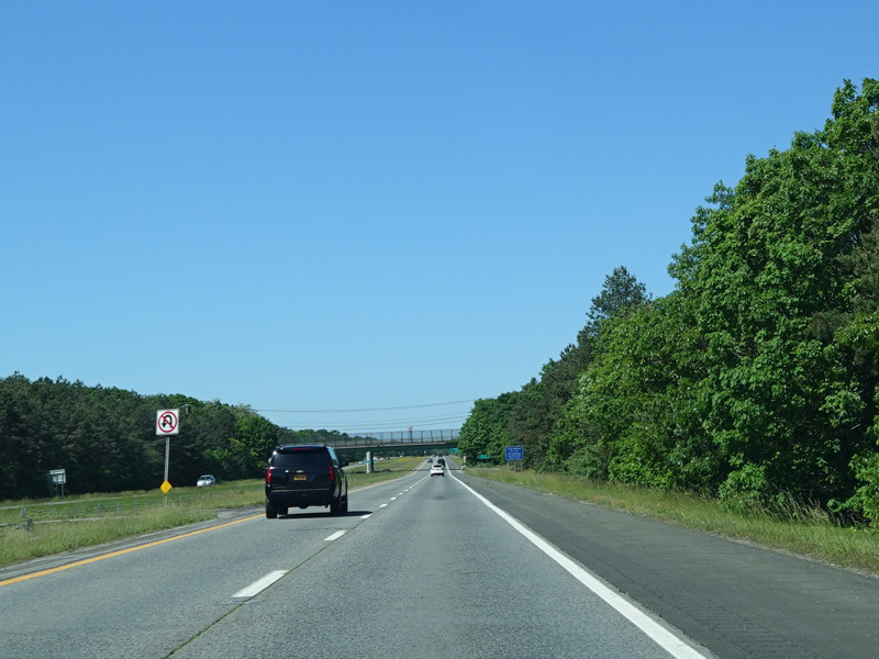
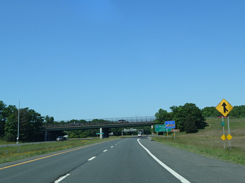
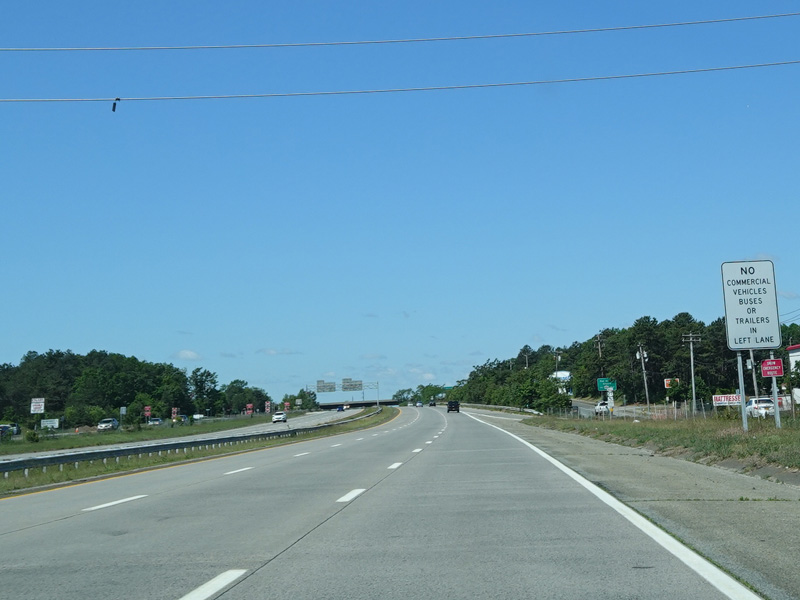
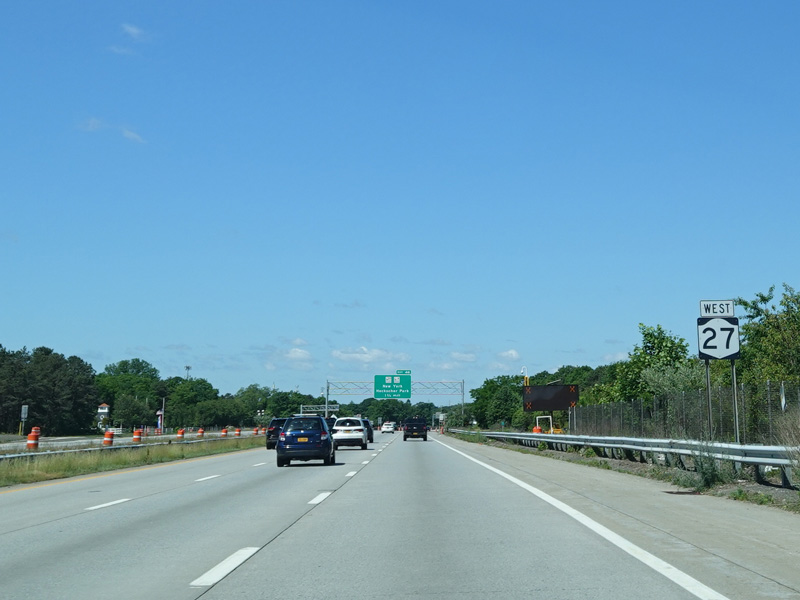
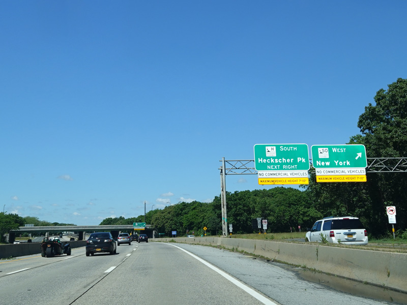
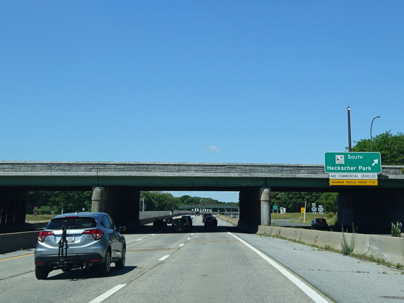
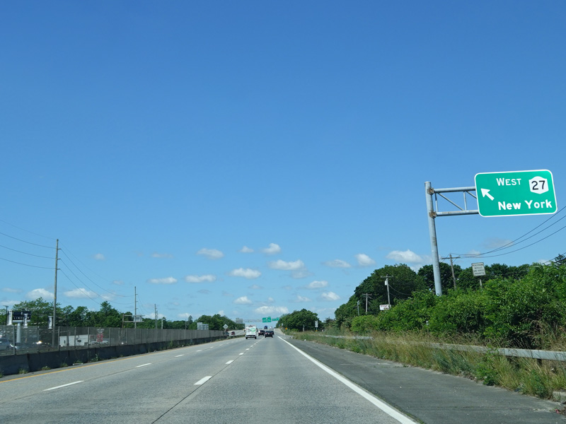
NY 27 and CR 39 split here. Straight ahead, NY 27 becomes an expressway called Sunrise Highway that extends from here to West Babylon. Bear right to stay on North Road. There is an end shield for CR 39 here, which is a sign goof. CR 39 actually continues to the right.
Photos taken June 2020.
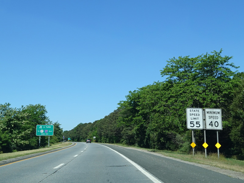
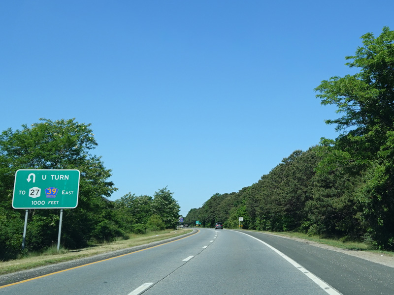

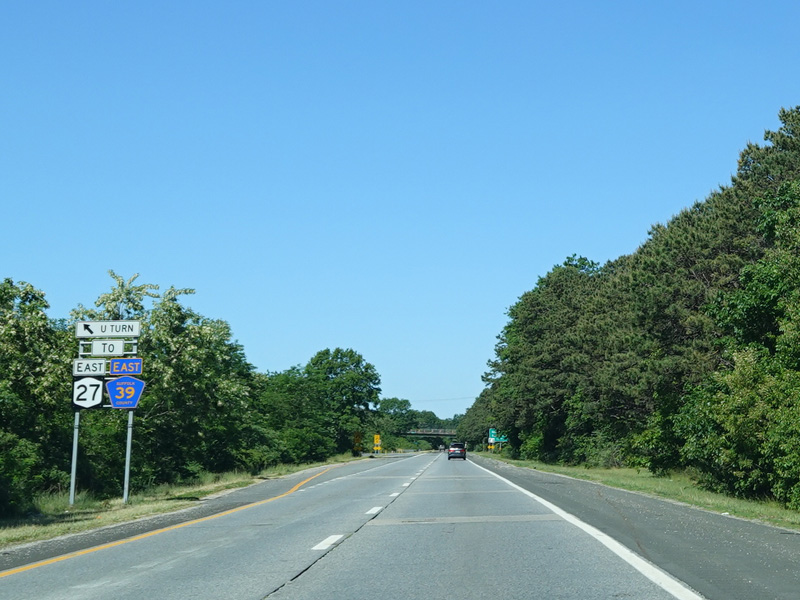
There is a turnaround for motorists who accidentally got on Sunrise Highway and want to head back east.
Photos taken June 2020.
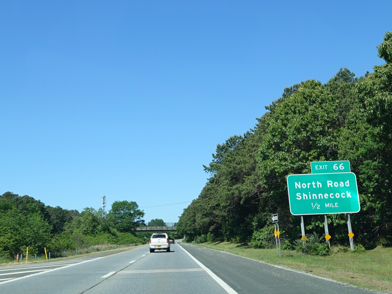

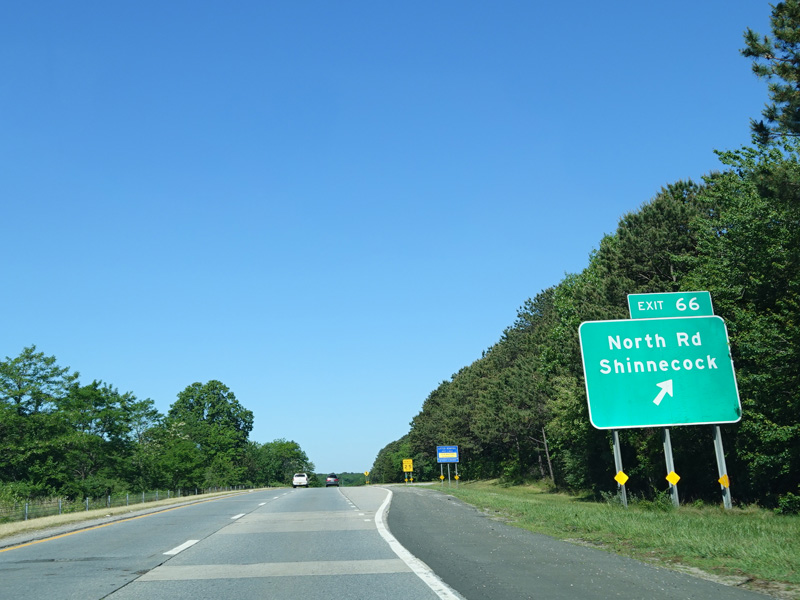
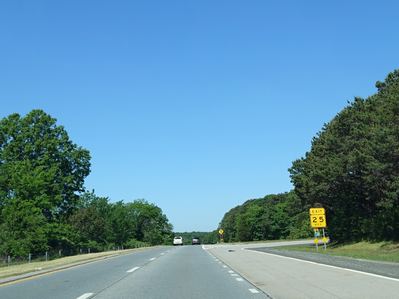
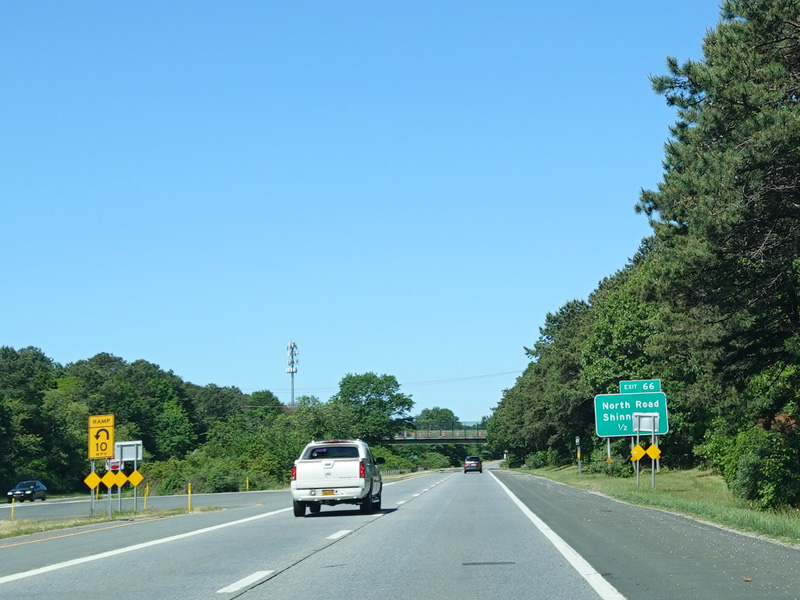
Exit 66 is for North Road (CR 39).
Photos taken June 2020.
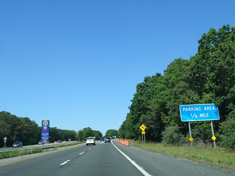

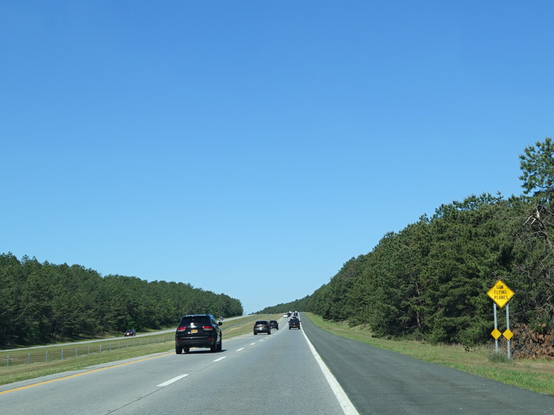
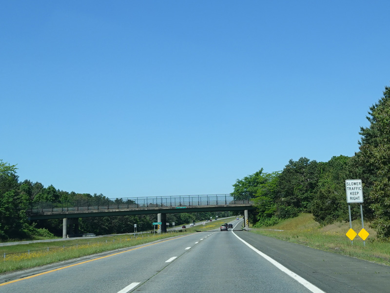
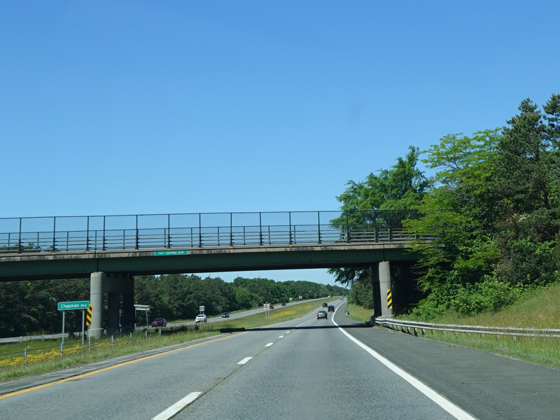
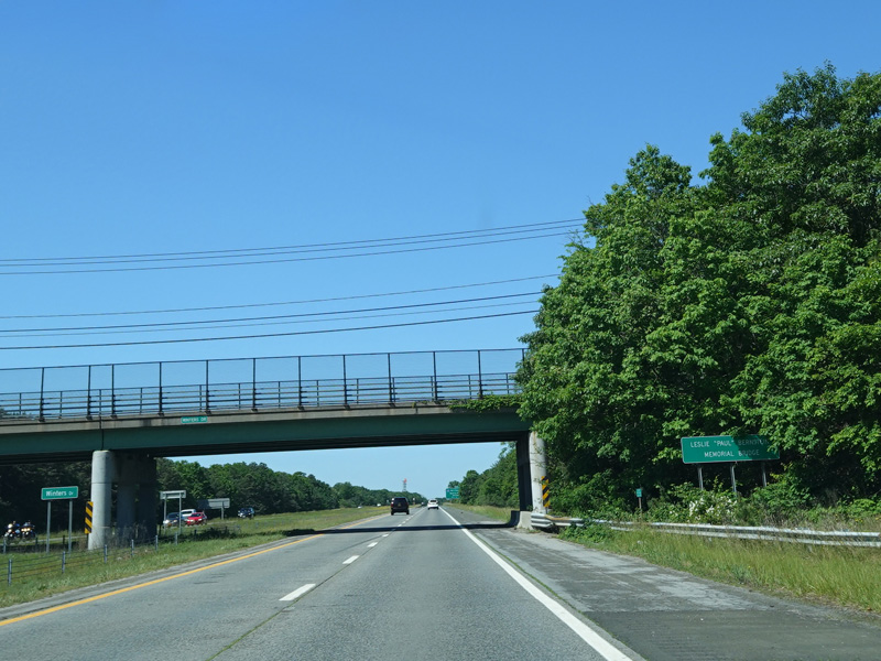
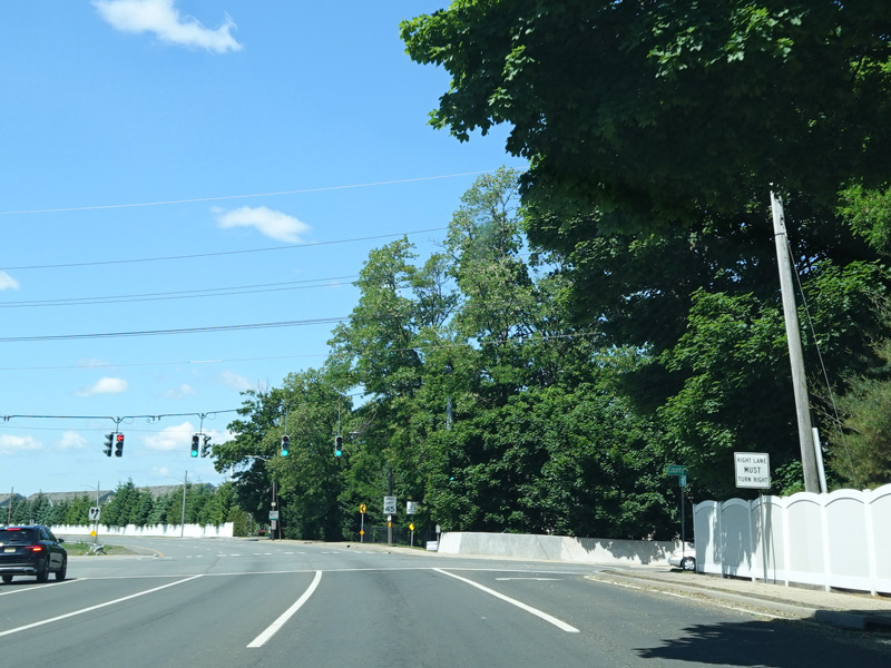
A small bridge carries Sunrise Highway over the Shinnecock Canal. Immediately after the bridge, there is a parking area.
Photos taken June 2020.

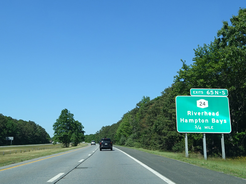

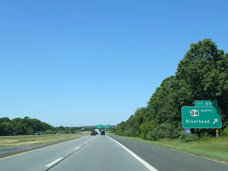
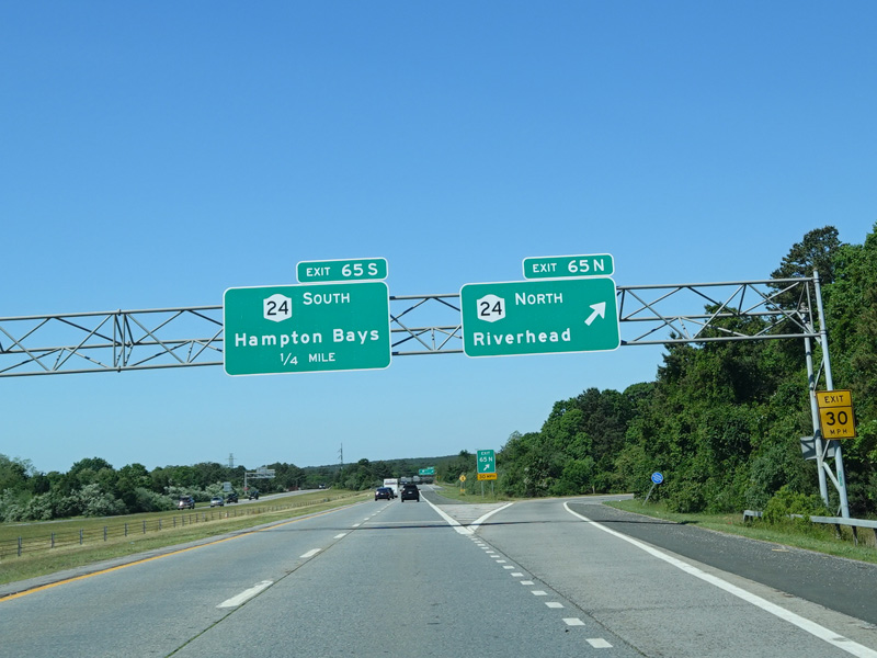
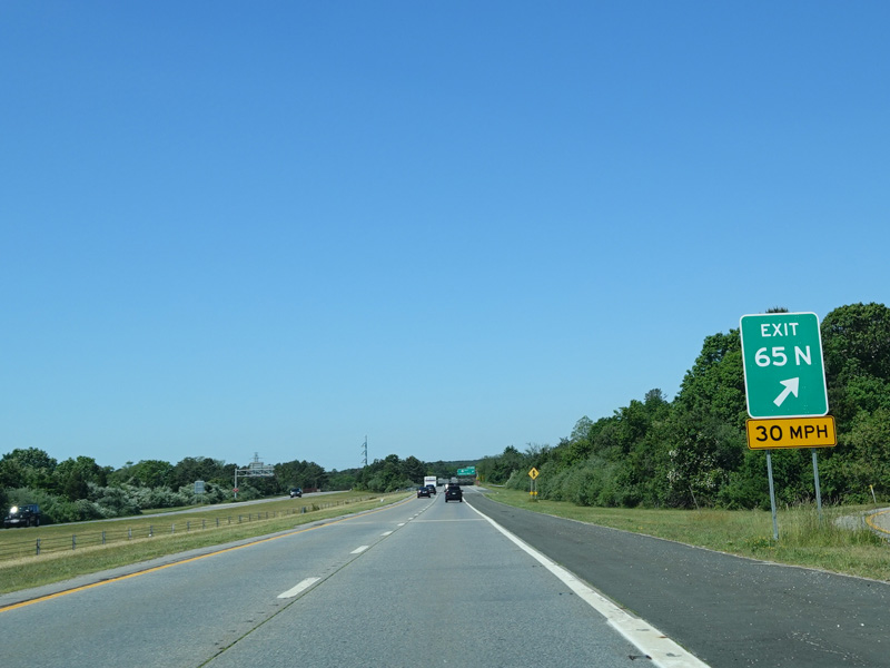
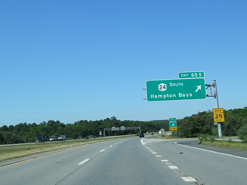

Exits 65N-S are for Riverhead-Hampton Bays Road (NY 24).
Photos taken June 2020.

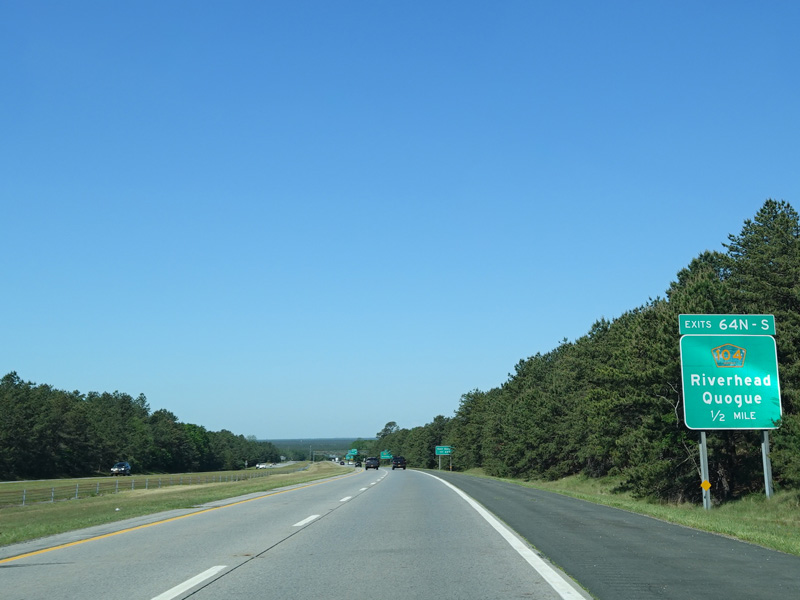

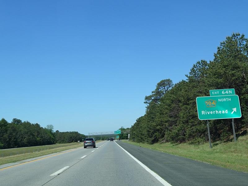
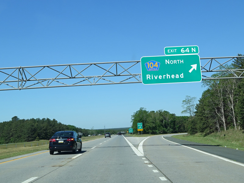
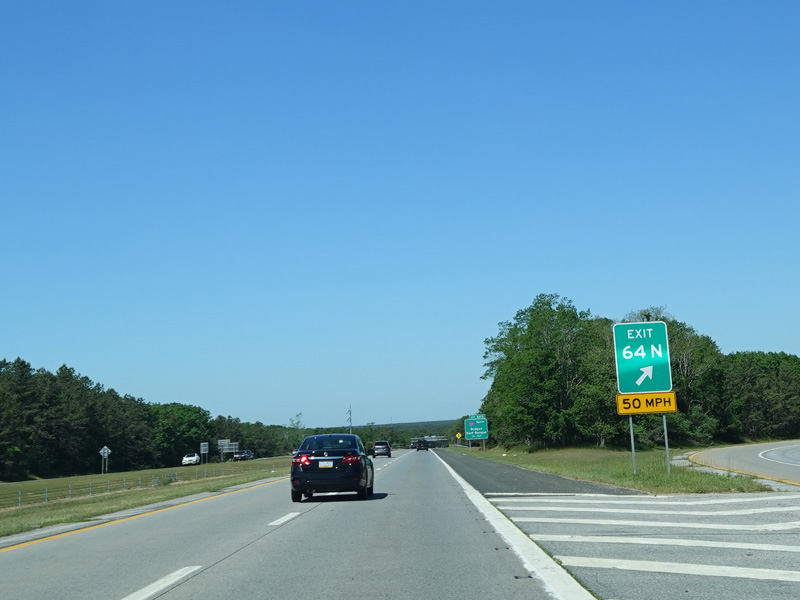
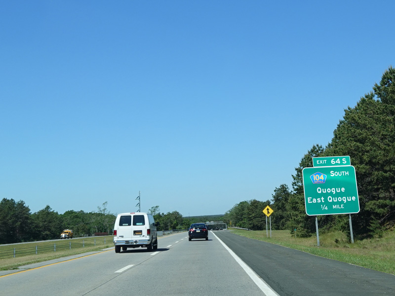
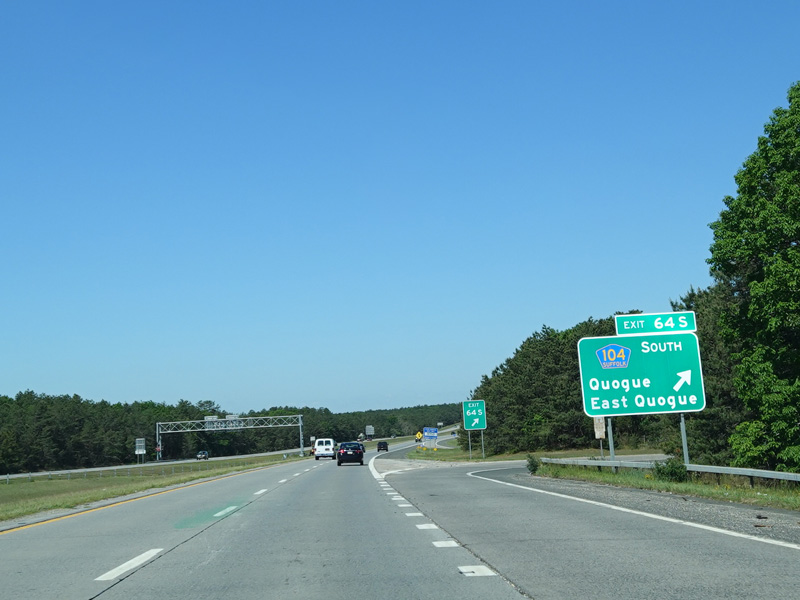
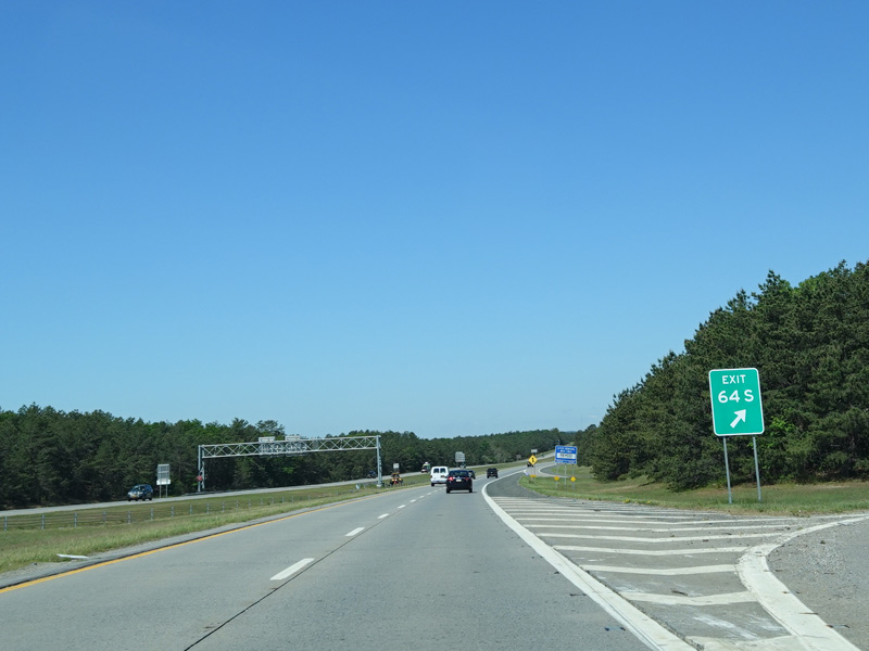
Exits 64N-S are for Quogue-Riverhead Road (CR 104).
Photos taken June 2020.
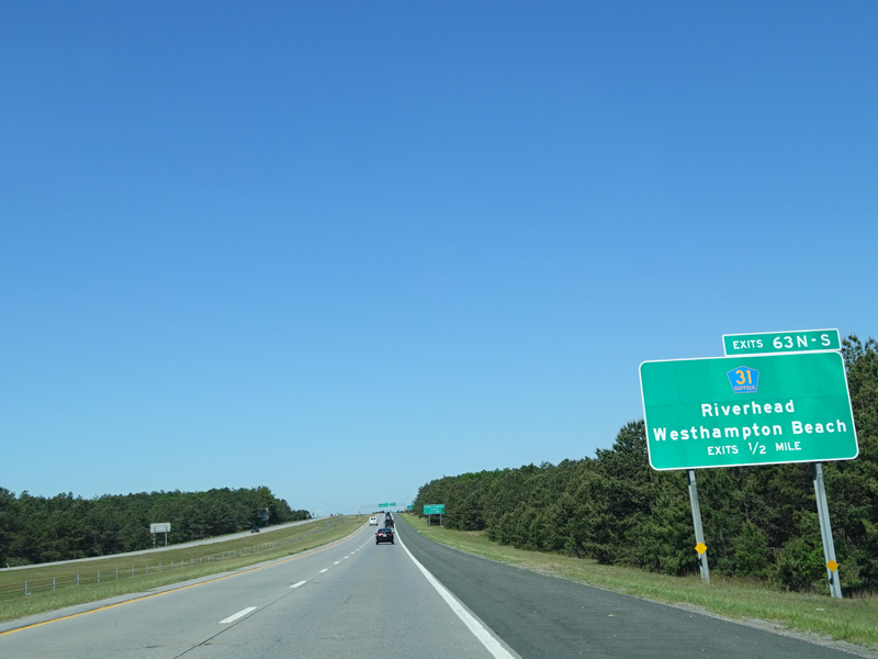
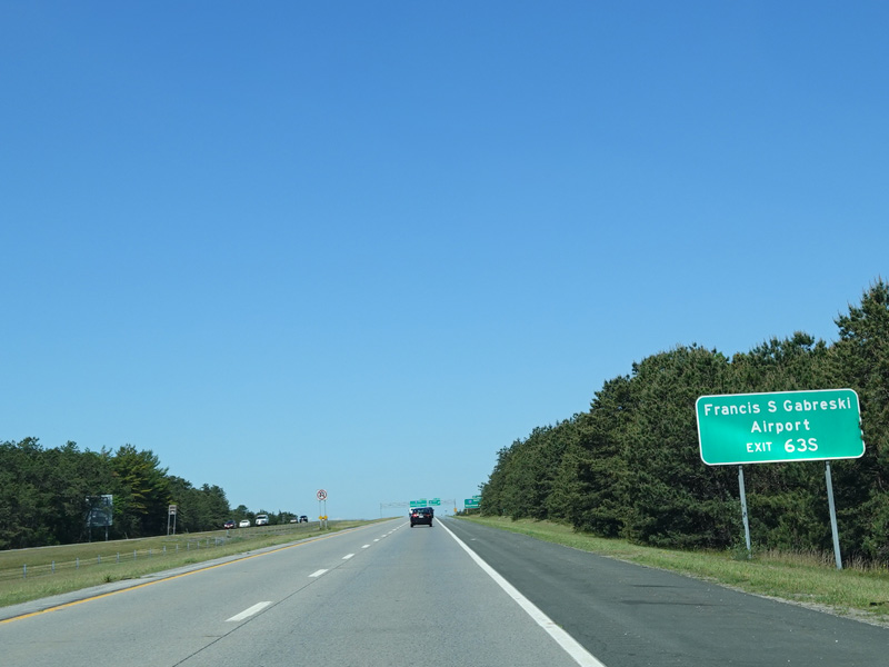

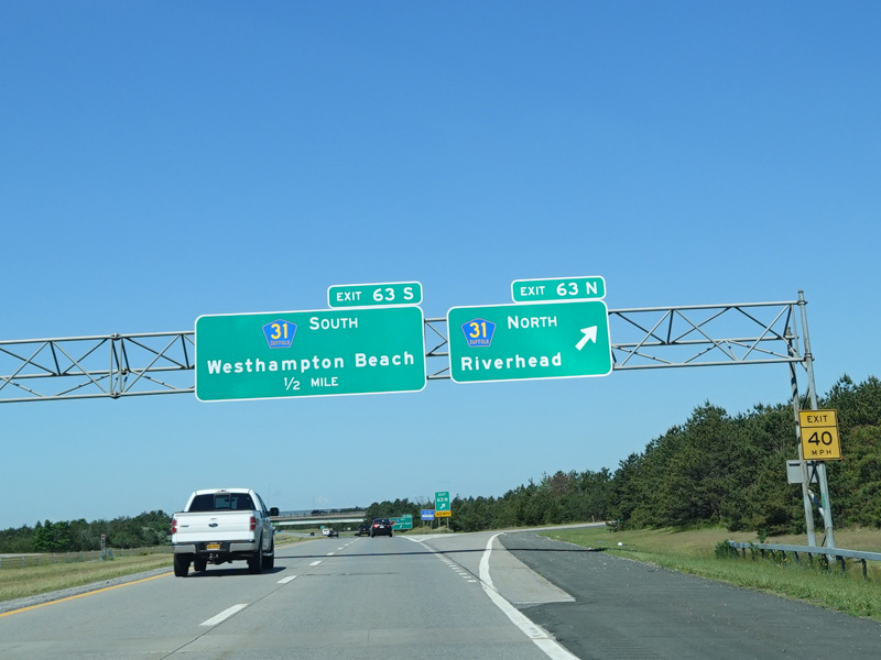
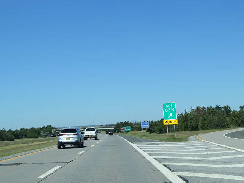
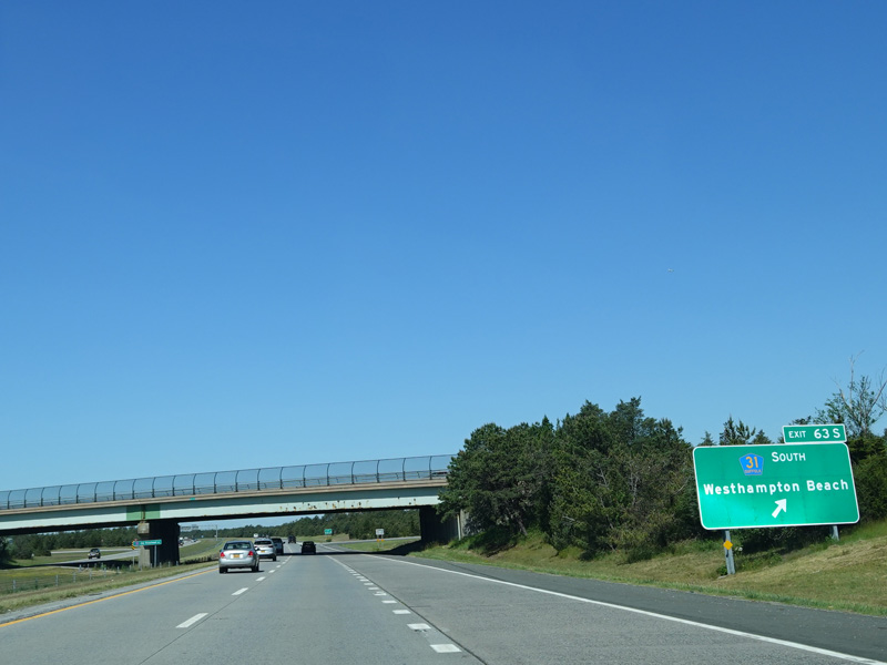

Exits 63N-S are for Old Riverhead Road (CR 31).
Photos taken June 2020.
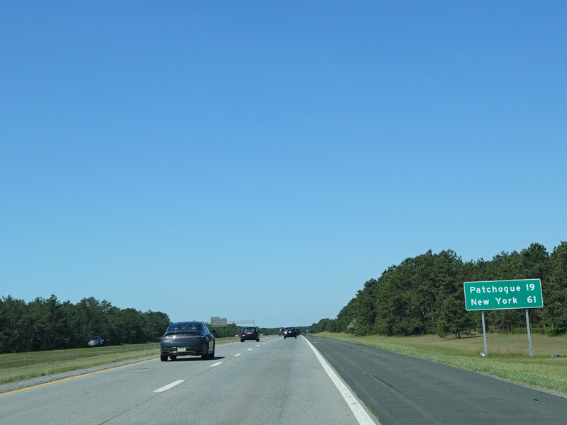
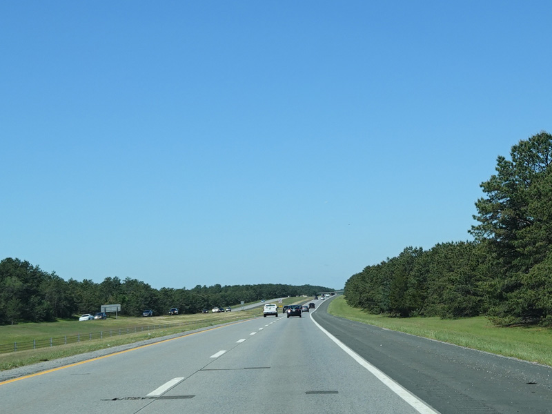
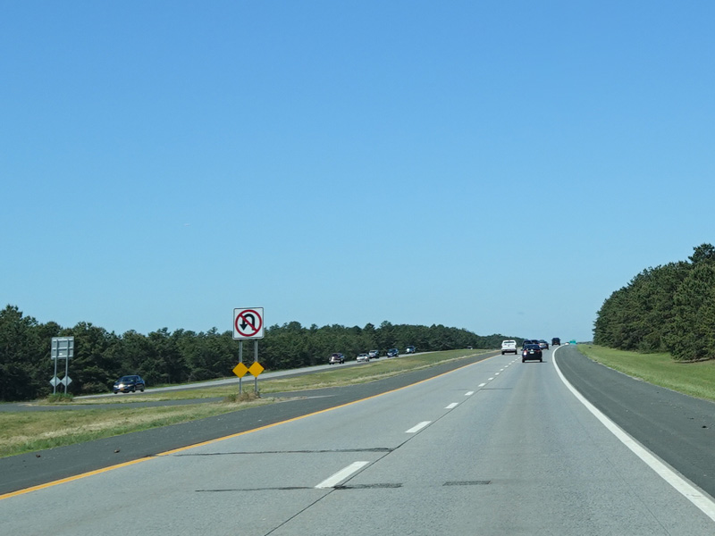
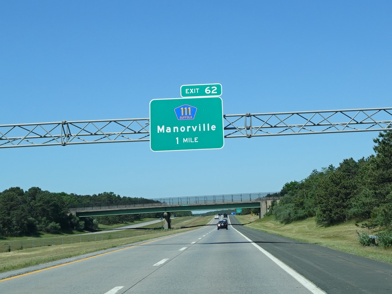
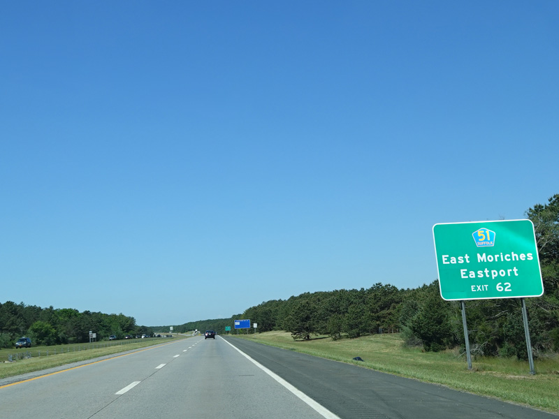
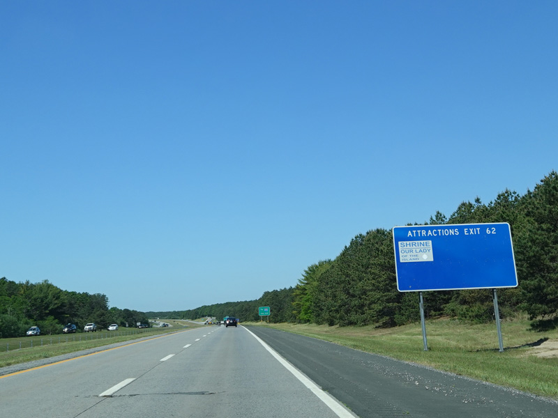

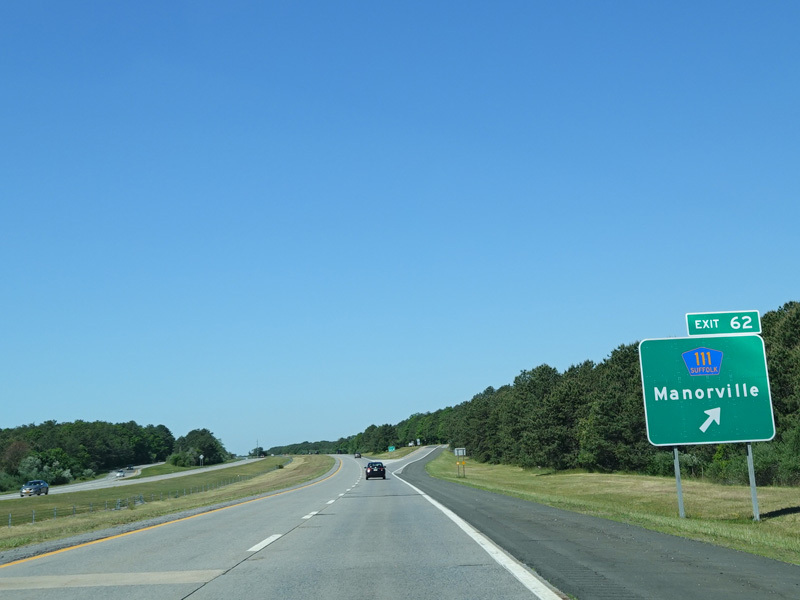
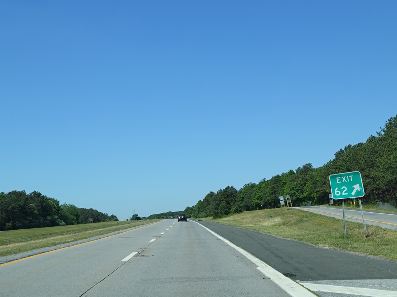
Exit 62 is for Captain Daniel Roe Highway (CR 111). It also provides access to East Moriches-Riverhead Road (CR 51). Motorists who wish to cross over to the Long Island Expressway (I-495) may exit here.
Photos taken June 2020.


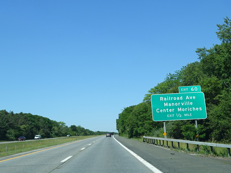
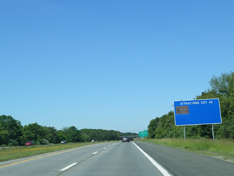
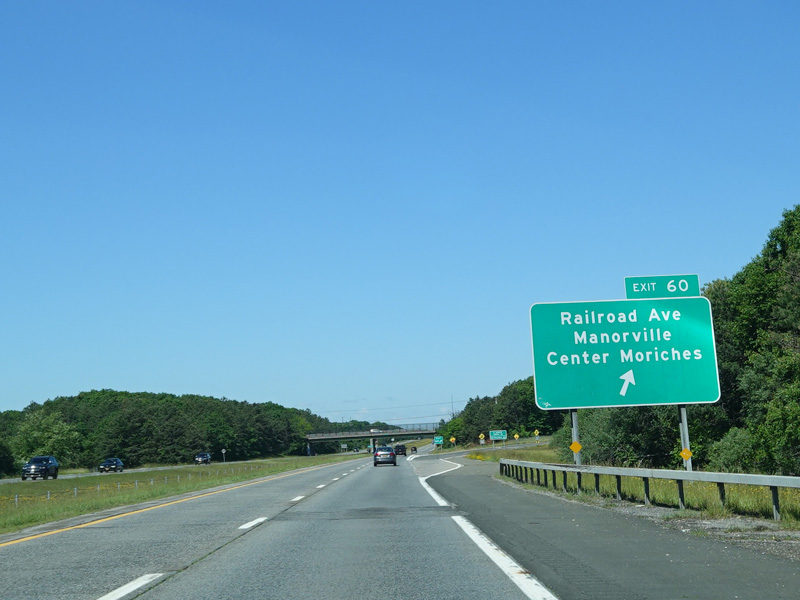
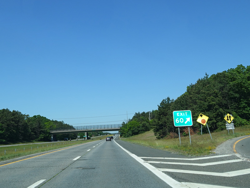
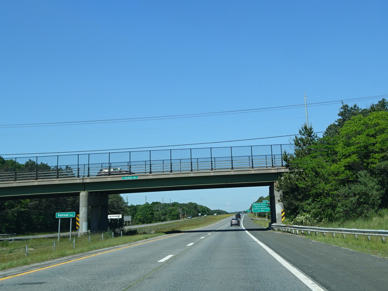
Exit 60 is for Railroad Avenue.
Photos taken June 2020.

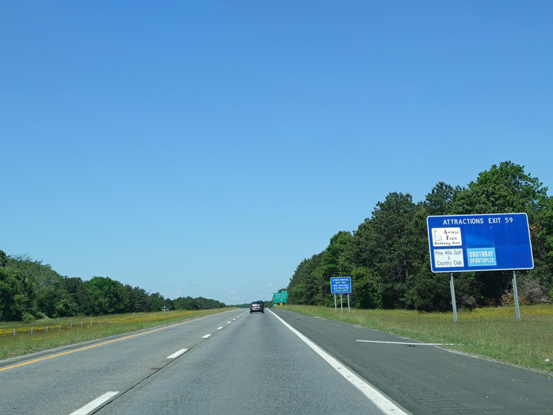

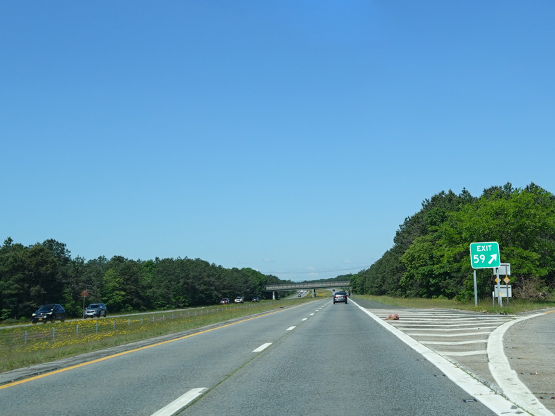
Exit 59 is for Wading River Road.
Photos taken June 2020.


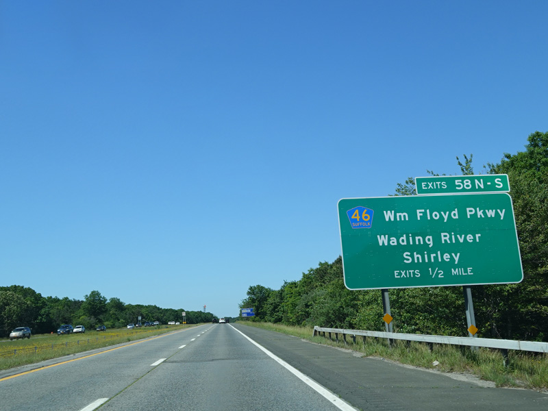
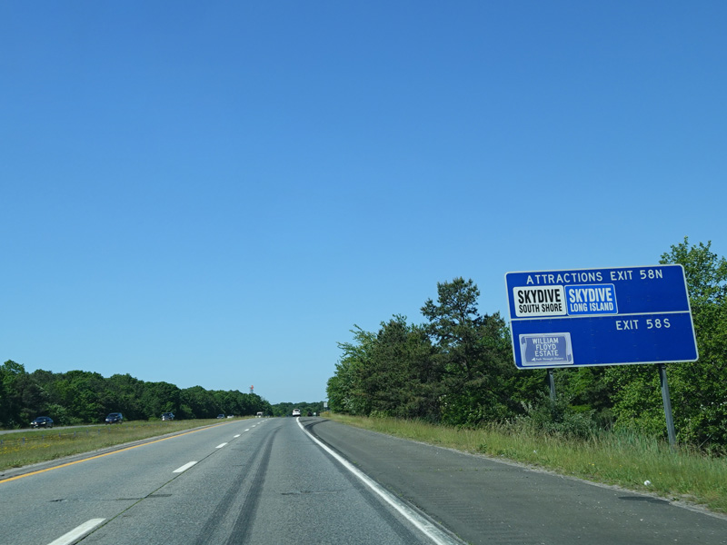
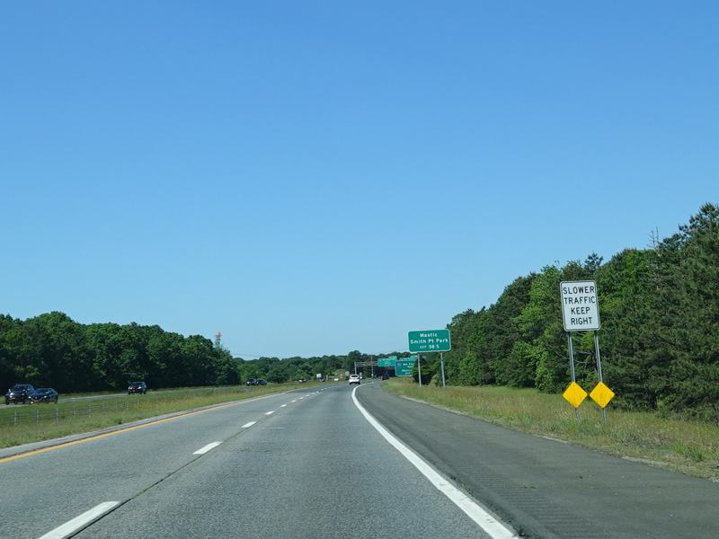
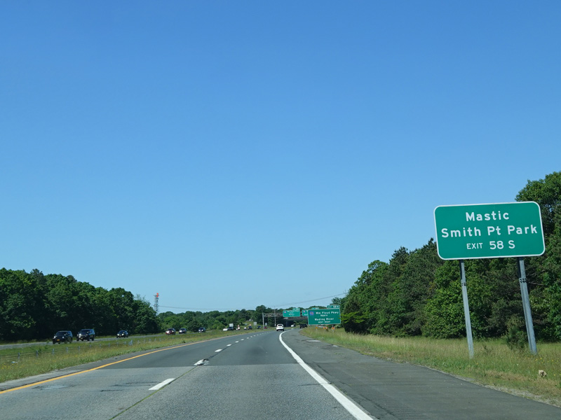


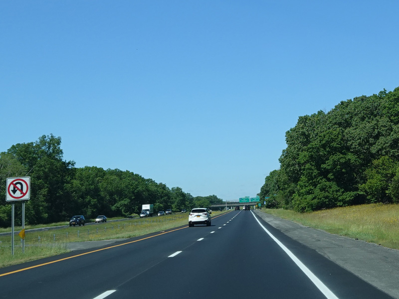
Exits 58N-S are for the William Floyd Parkway (CR 46).
Photos taken June 2020.


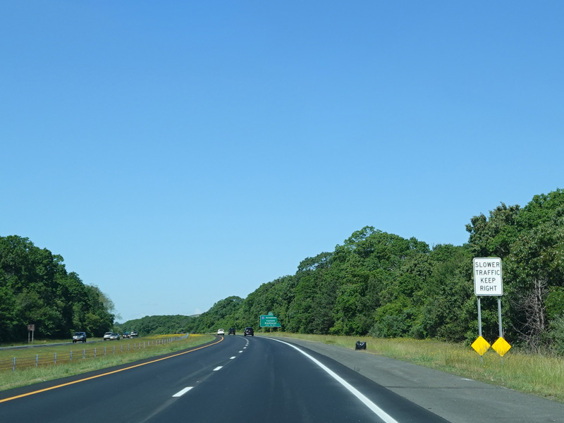
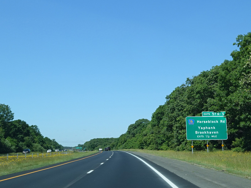
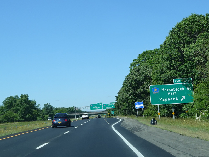


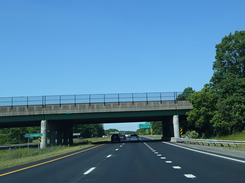
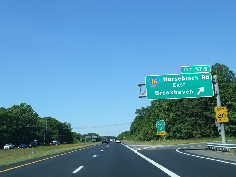

Exits 57N-S are for Horseblock Road (CR 16).
Photos taken June 2020.
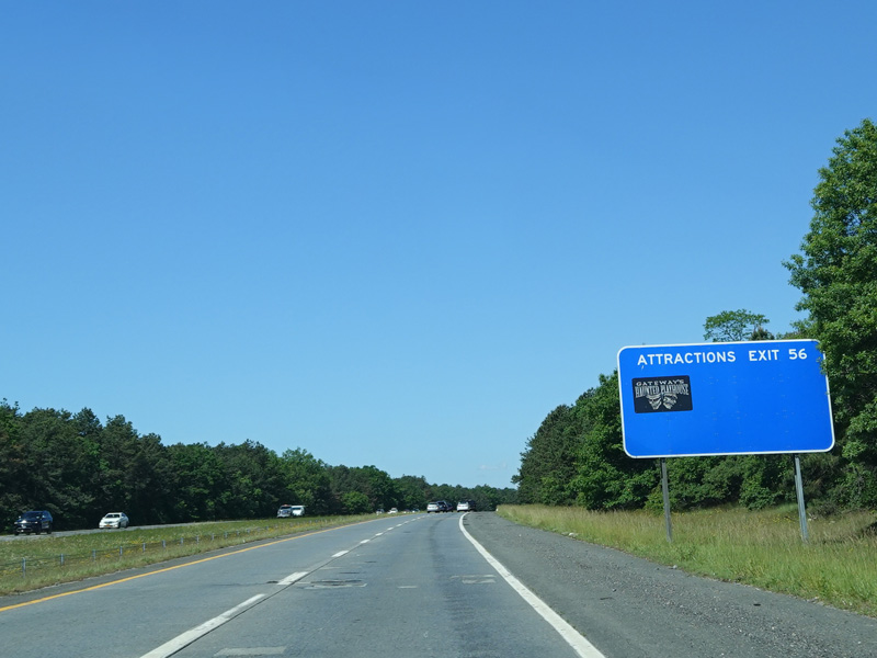
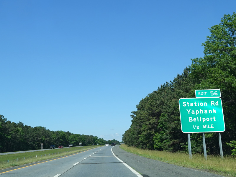

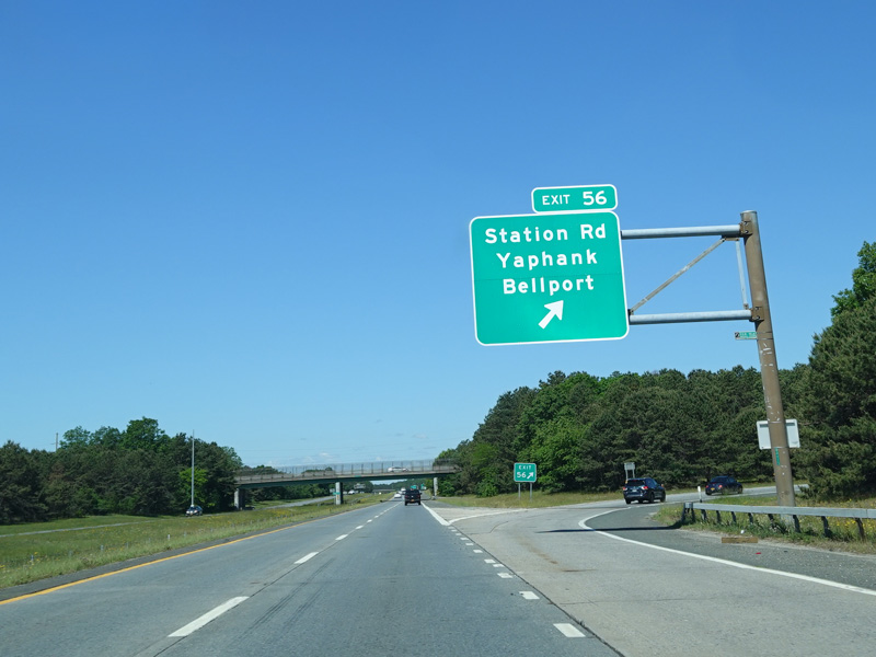
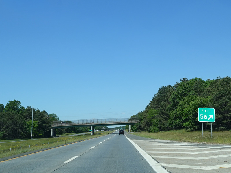
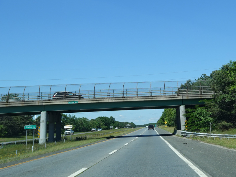
Exit 56 is for Station Road.
Photos taken June 2020.
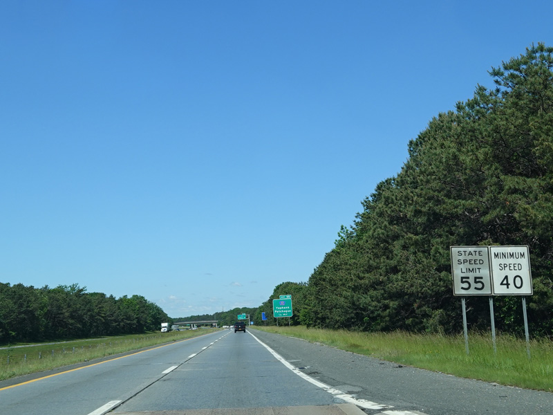
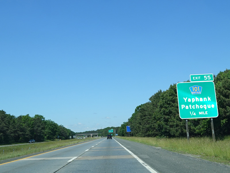
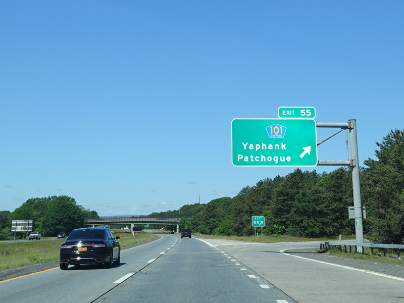
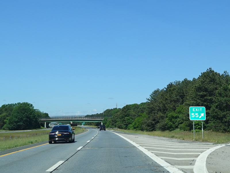
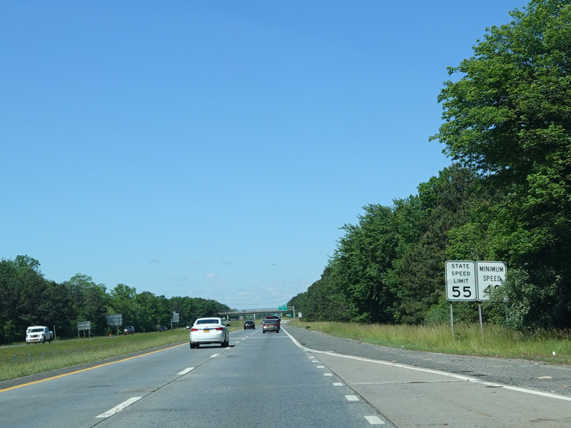
Exit 55 is for Patchogue-Yaphank Road (CR 101).
Photos taken June 2020.


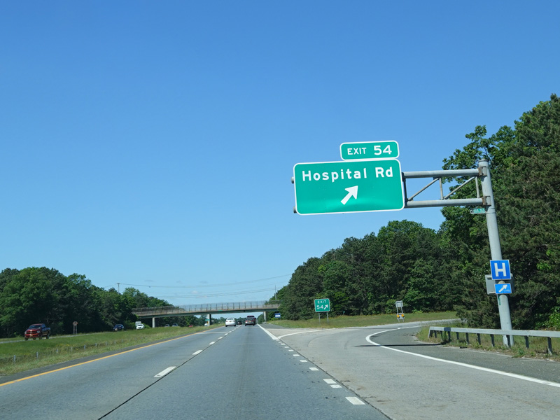
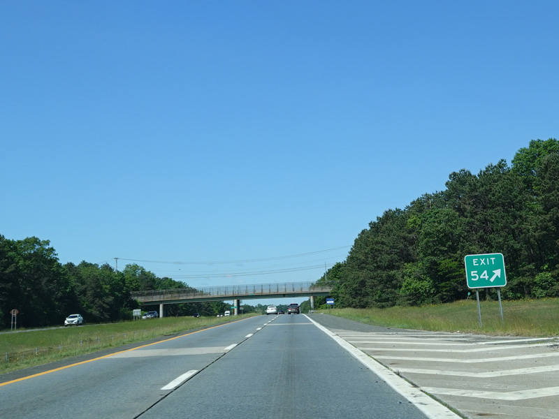
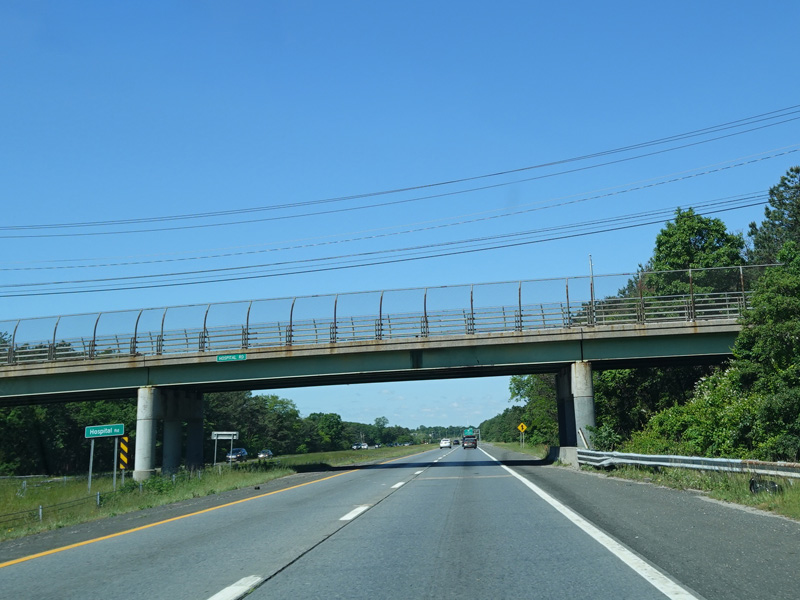
Exit 54 is for Hospital Road.
Photos taken June 2020.
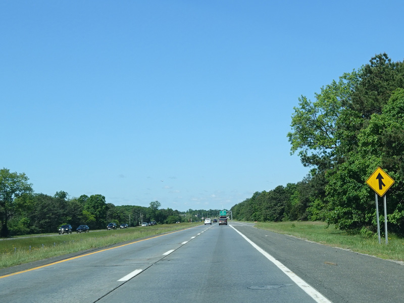
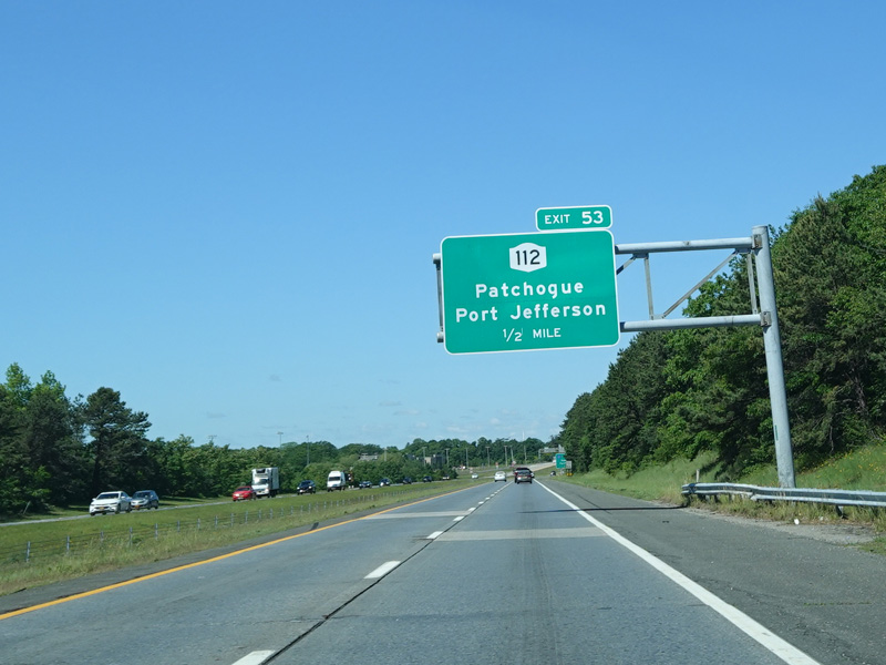
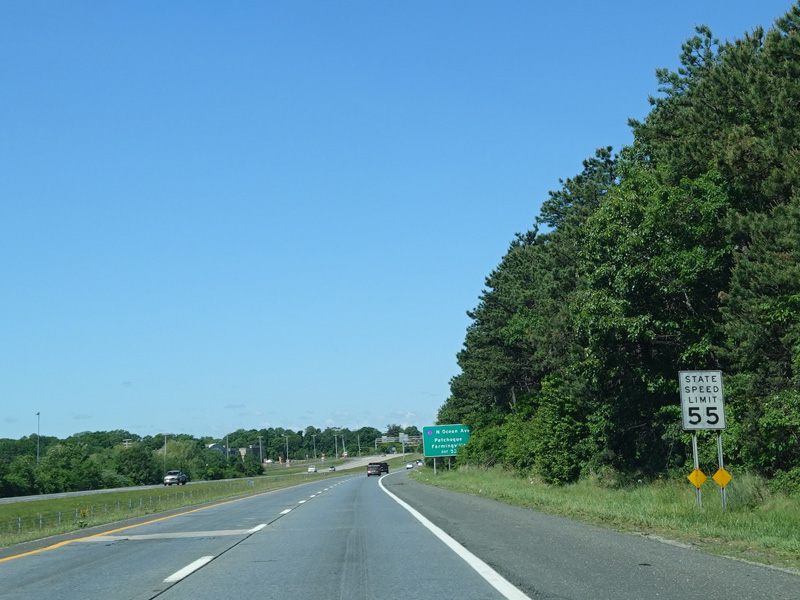


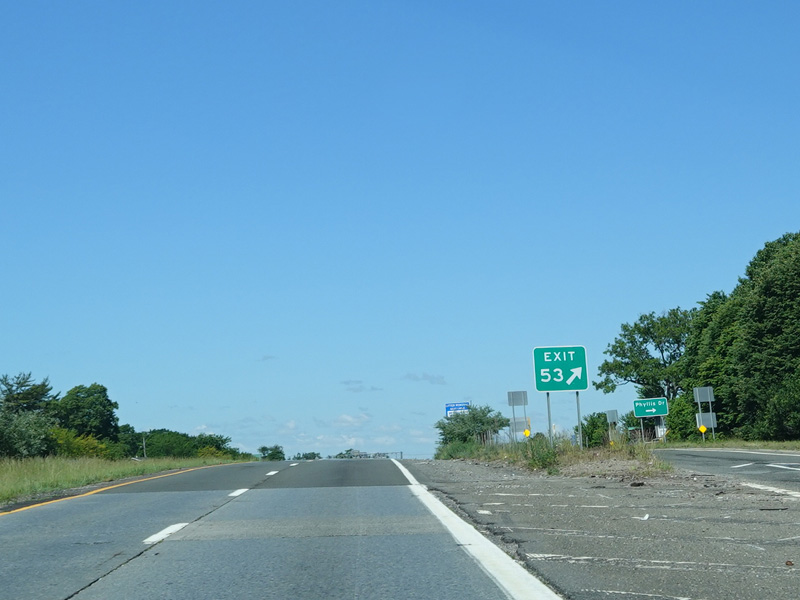
Exit 53 is for NY 112. It also provides access to North Ocean Avenue (CR 83).
Photos taken June 2020.

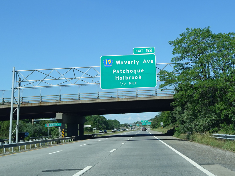

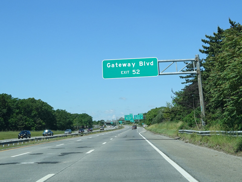

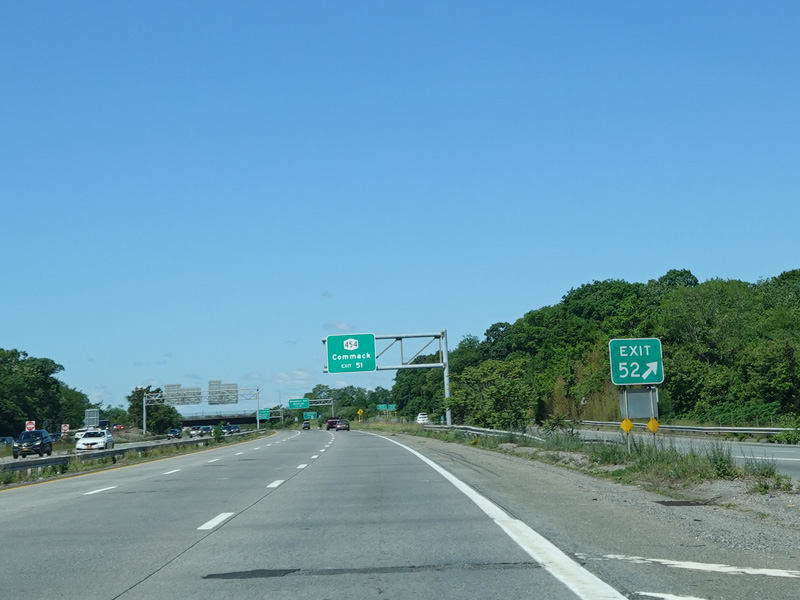
Exit 52 is for Waverly Avenue (CR 19). It also provides access to Gateway Boulevard.
Photos taken June 2020.
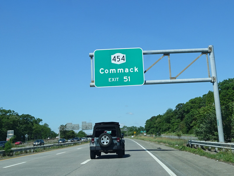
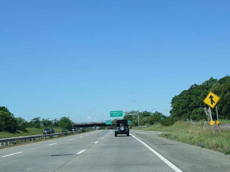
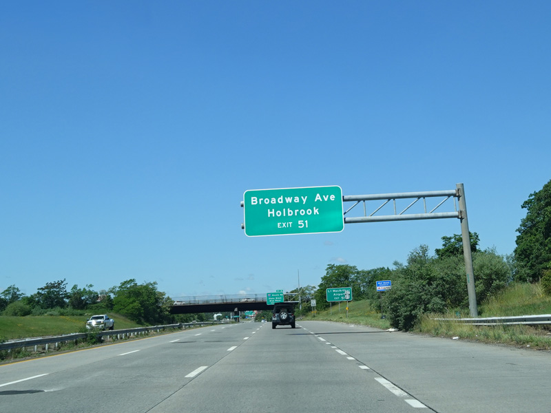

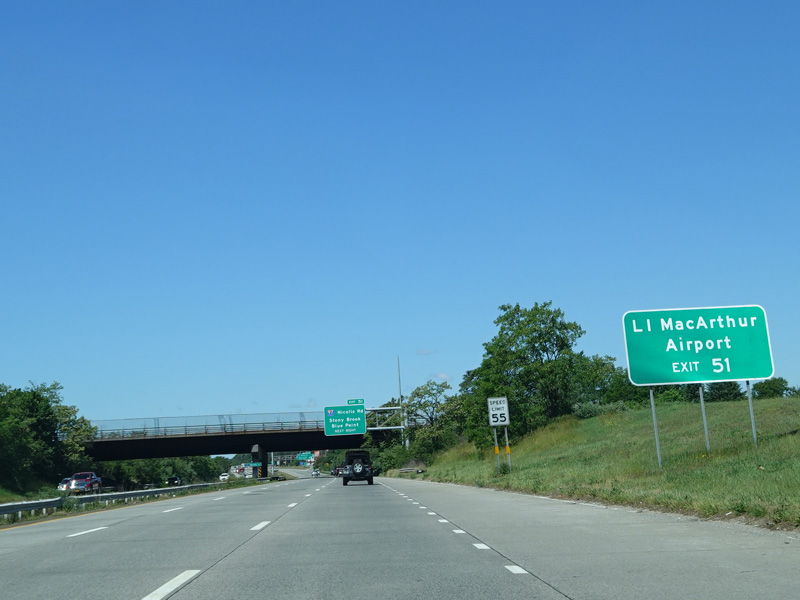
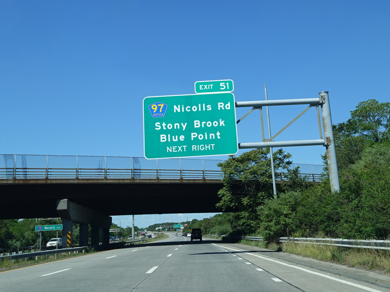
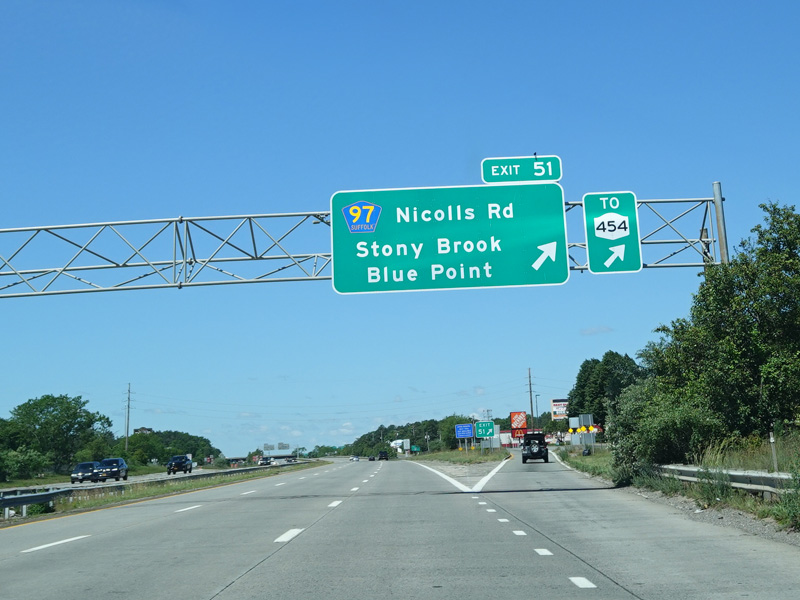
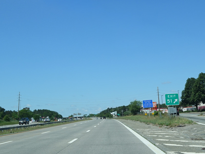
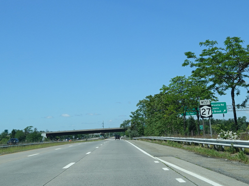
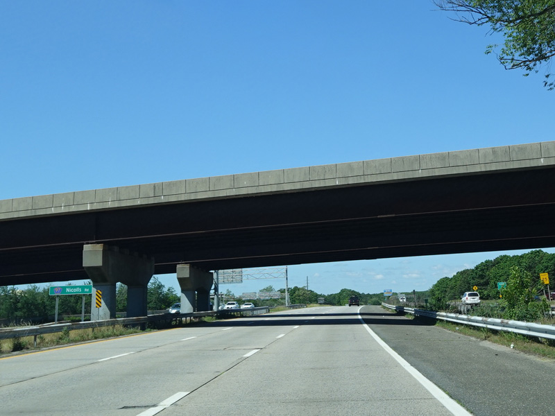
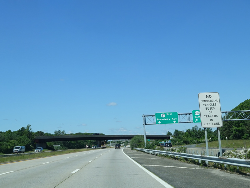
Exit 51 is for Nicolls Road (CR 97). It also provides access to Veterans Highway (NY 454) and Broadway Avenue.
Photos taken June 2020.
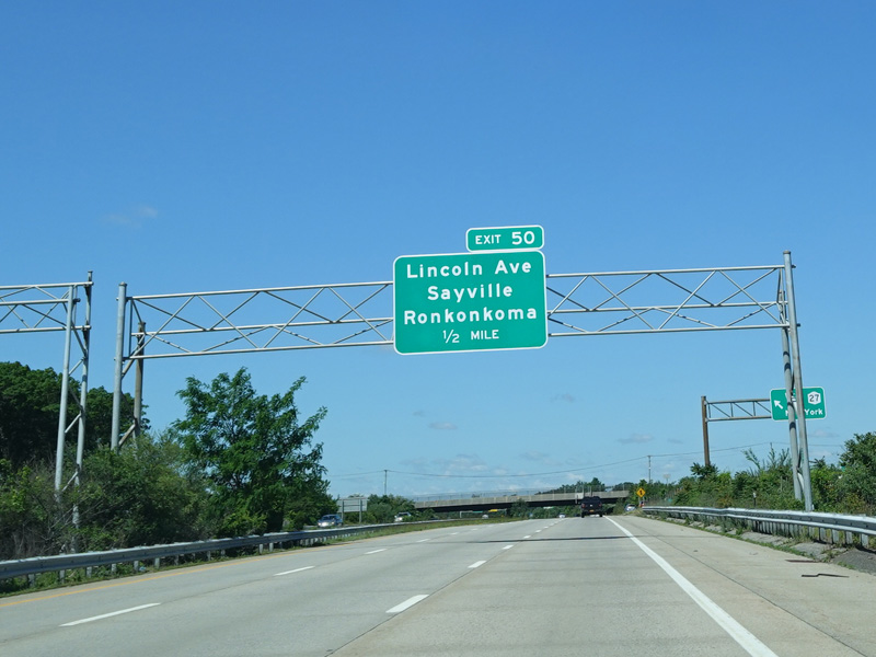

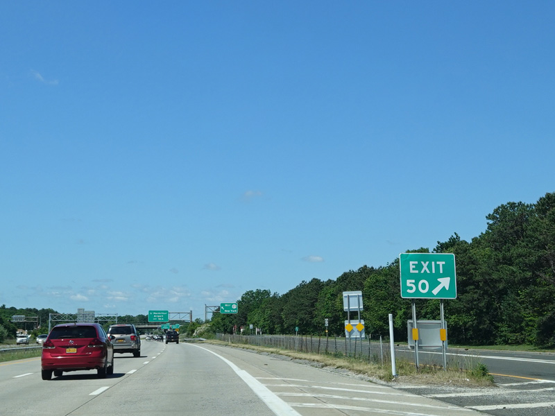
Exit 50 is for Lincoln Avenue.
Photos taken June 2020.
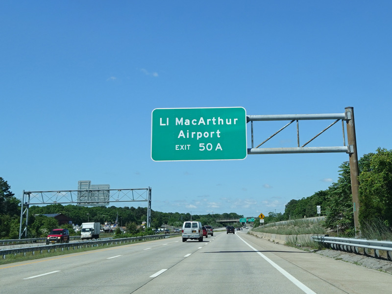
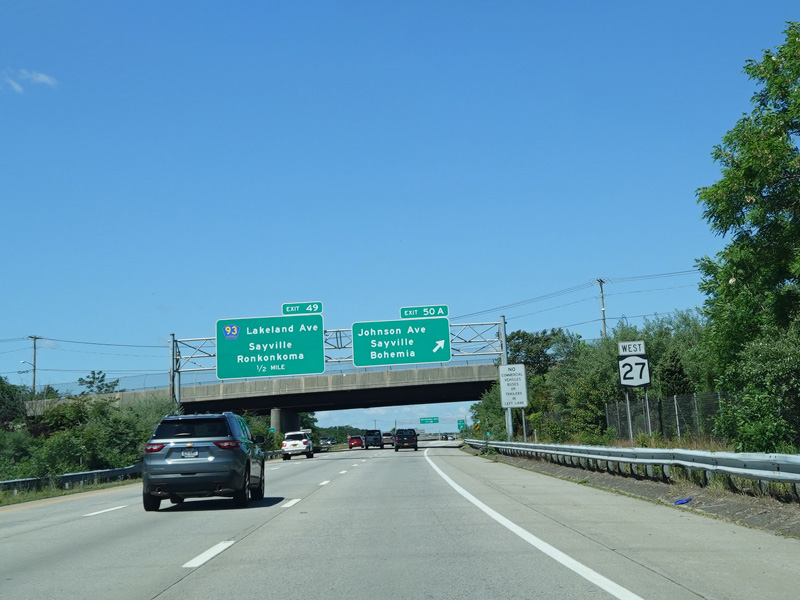
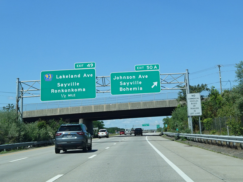
Exit 50A is for Johnson Avenue (CR 112).
Photos taken June 2020.
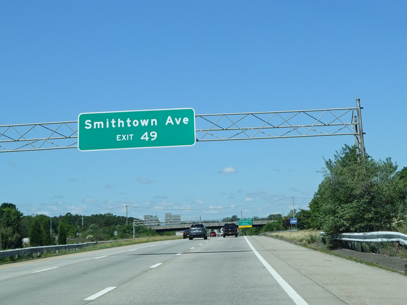

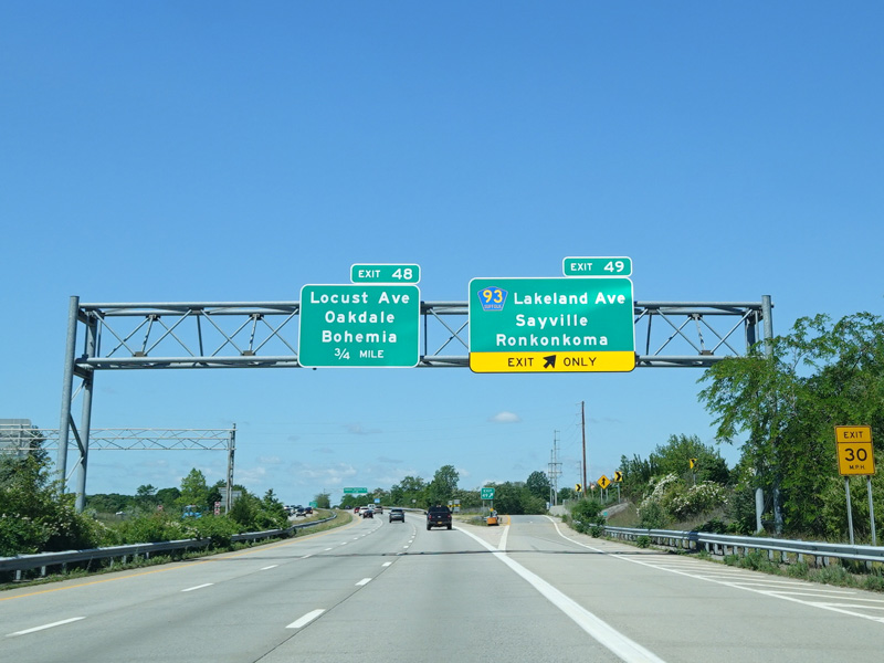

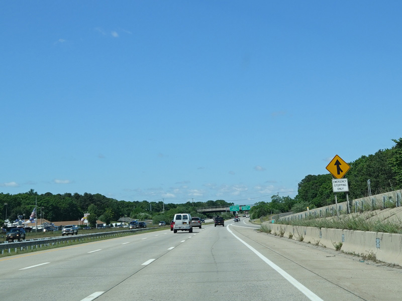
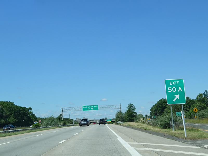
Exit 49 is for Lakeland Avenue (CR 93). It also provides access to Smithtown Avenue.
Photos taken June 2020.
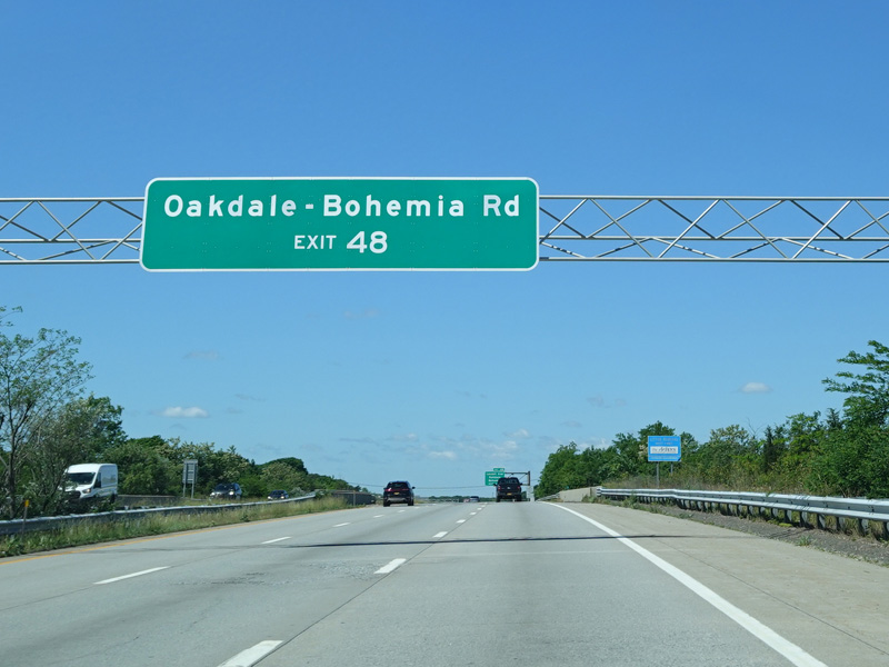
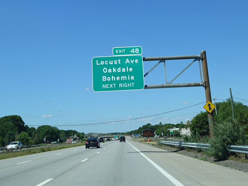
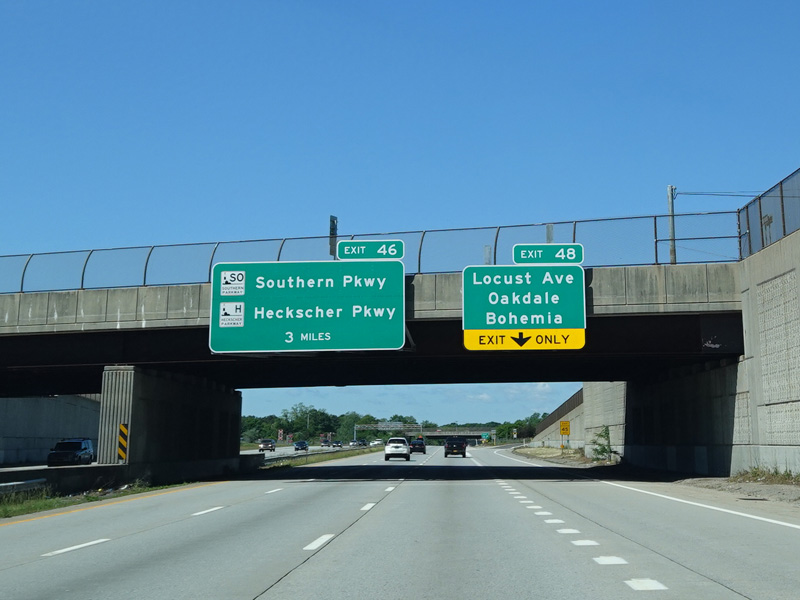
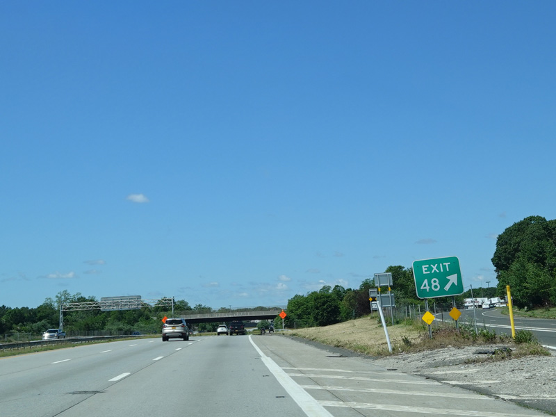
Exit 48 is for Locust Avenue. It also provides access to Oakdale-Bohemia Road.
Photos taken June 2020.


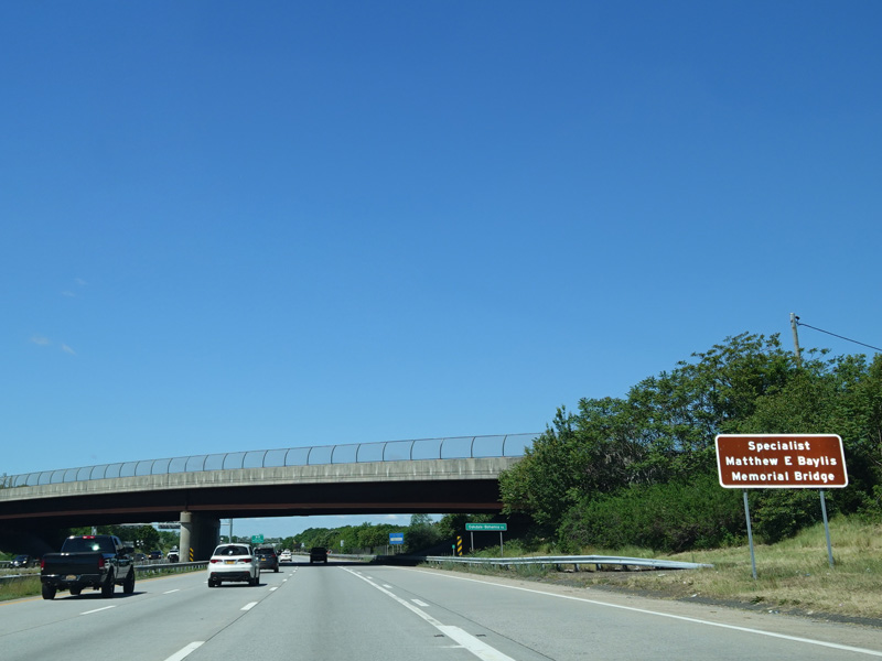
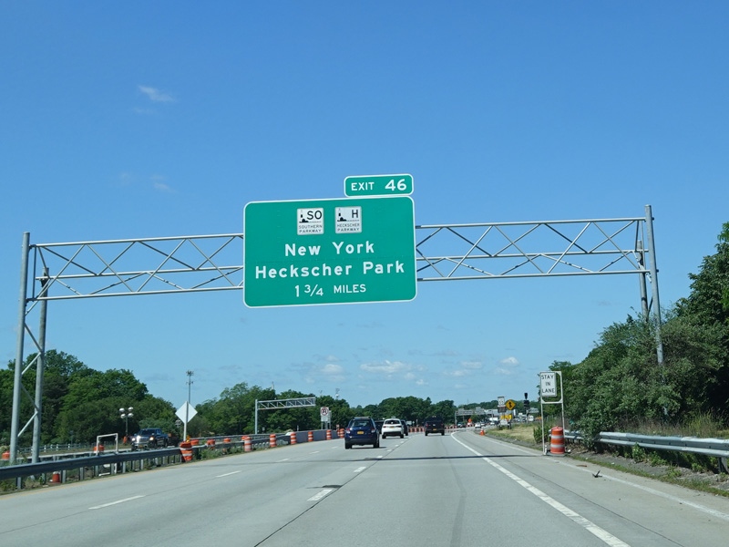


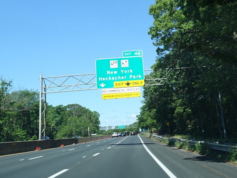
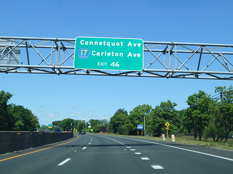
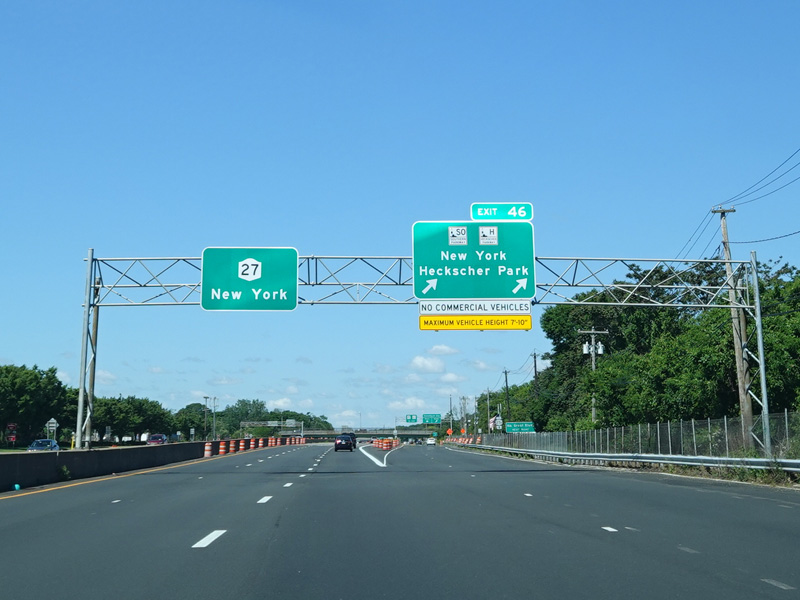
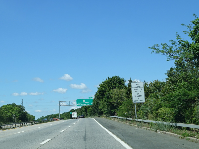
There is an unnumbered exit for Connetquot State Park. Exit 46 is for the Southern Parkway. It also provides access to Connetquot Avenue and Carleton Avenue (CR 17).
Photos taken June 2020.

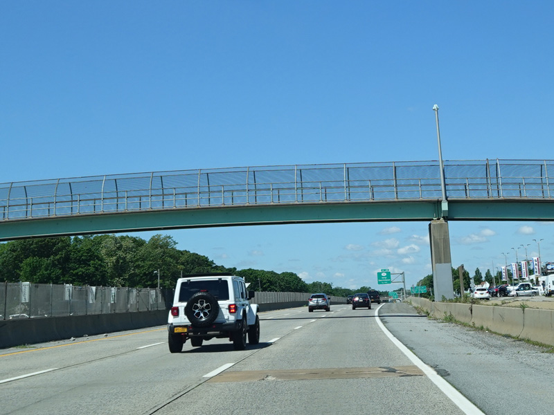
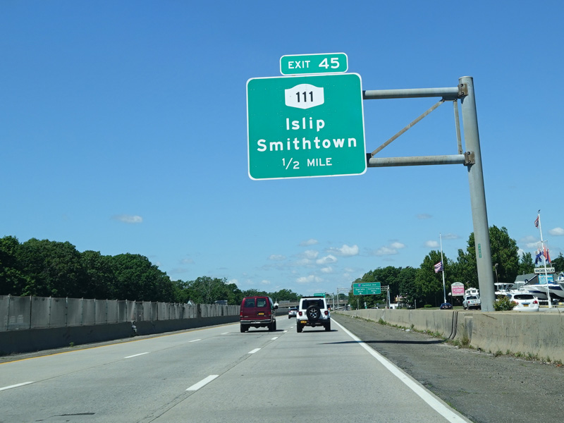
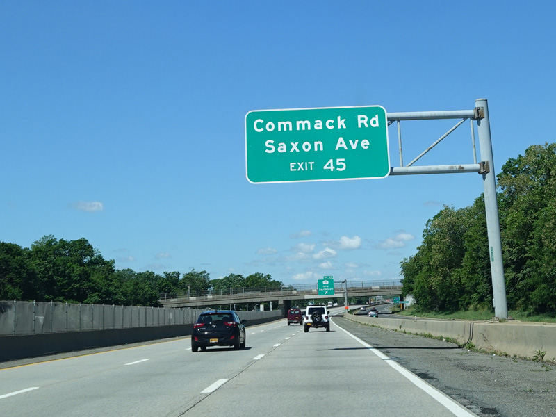
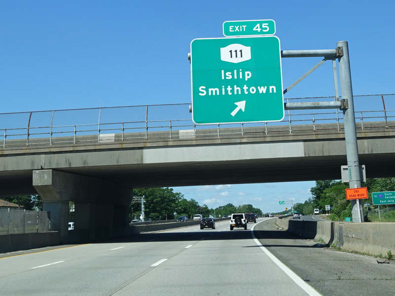
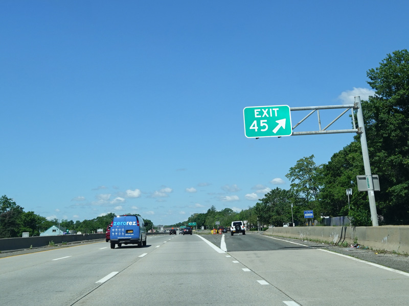
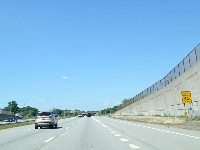
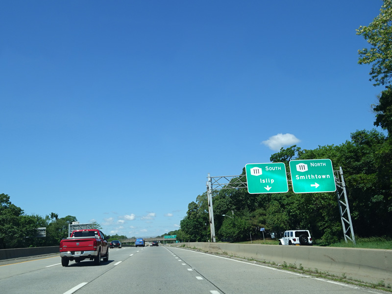
Exit 45 is for Islip Avenue (NY 111). It also provides access to Commack Road and Saxon Avenue.
Photos taken June 2020.

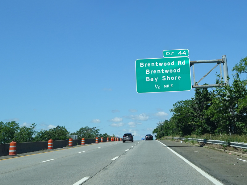

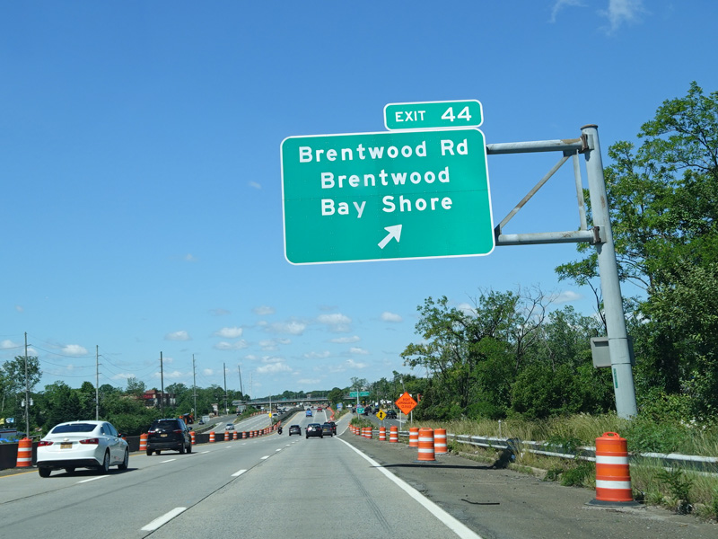

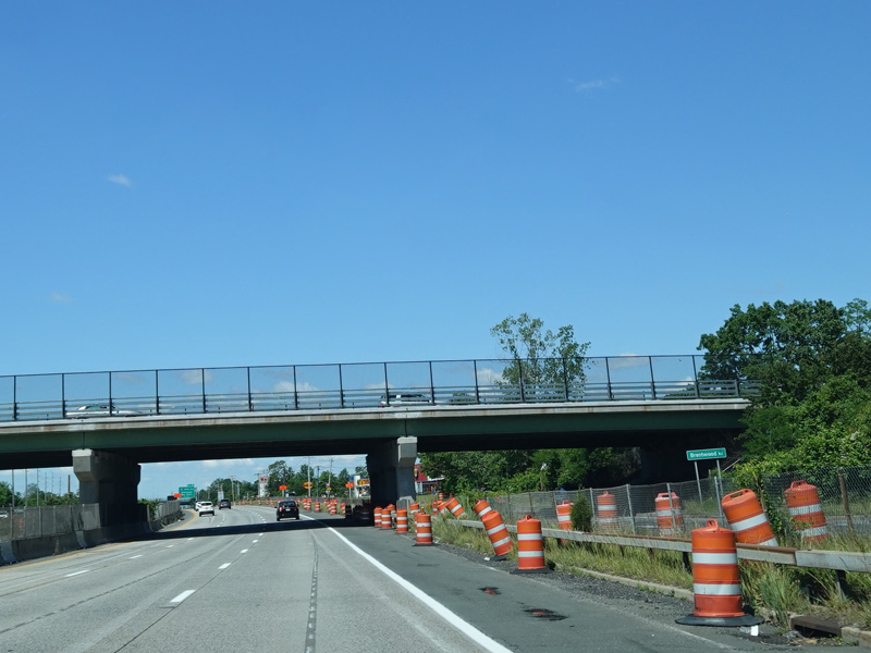
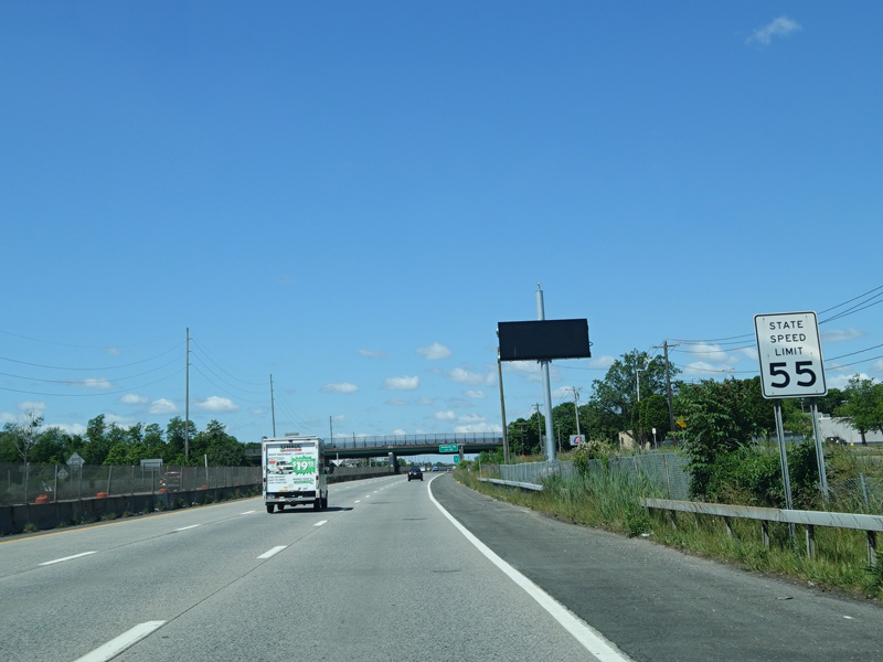
Exit 44 is for Brentwood Road.
Photos taken June 2020.

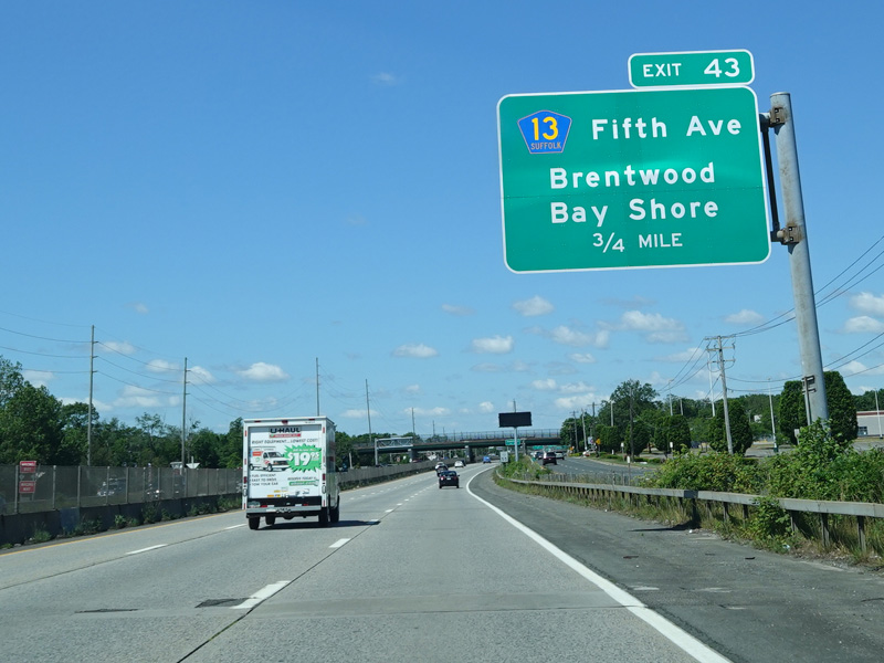
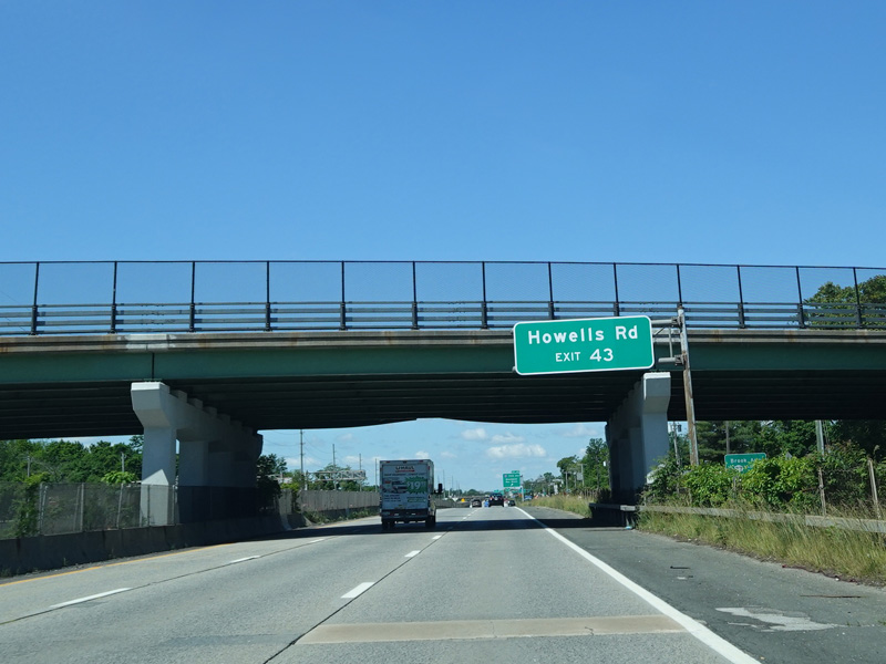
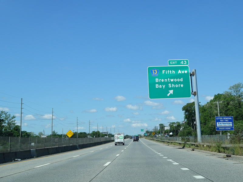
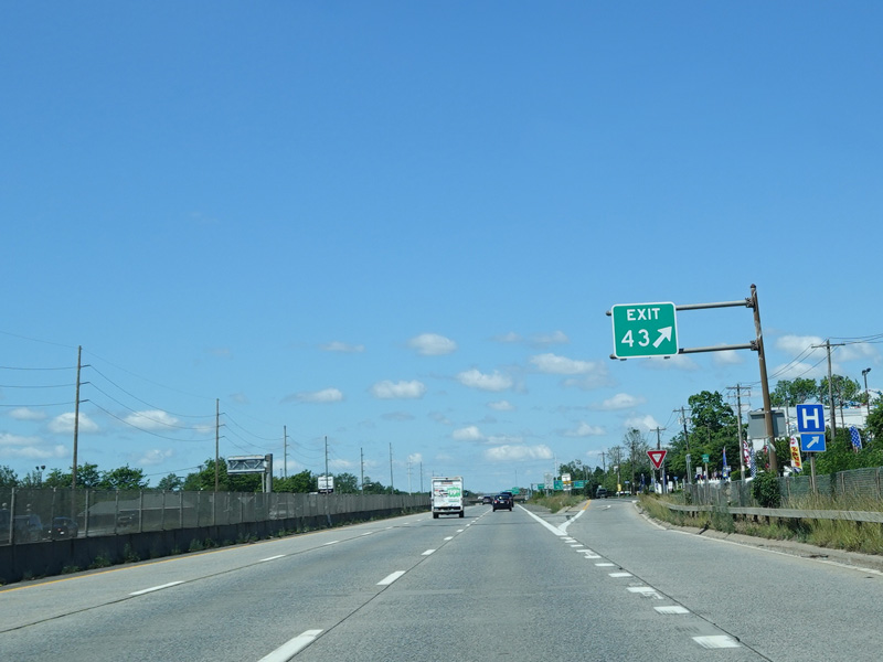
Exit 43 is for Fifth Avenue (CR 13). It also provides access to Howells Road (CR 57).
Photos taken June 2020.

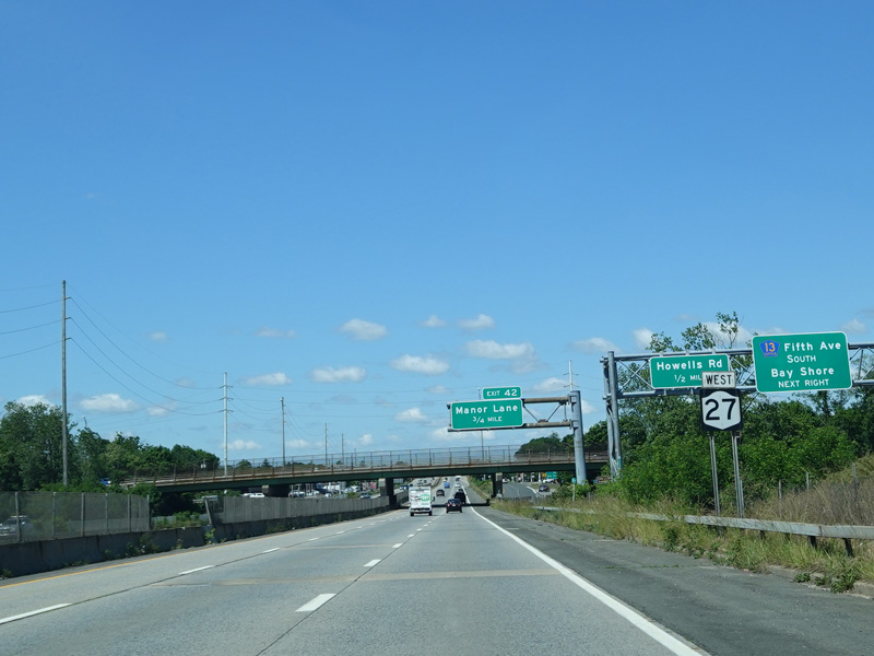
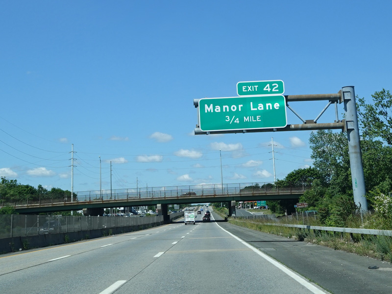

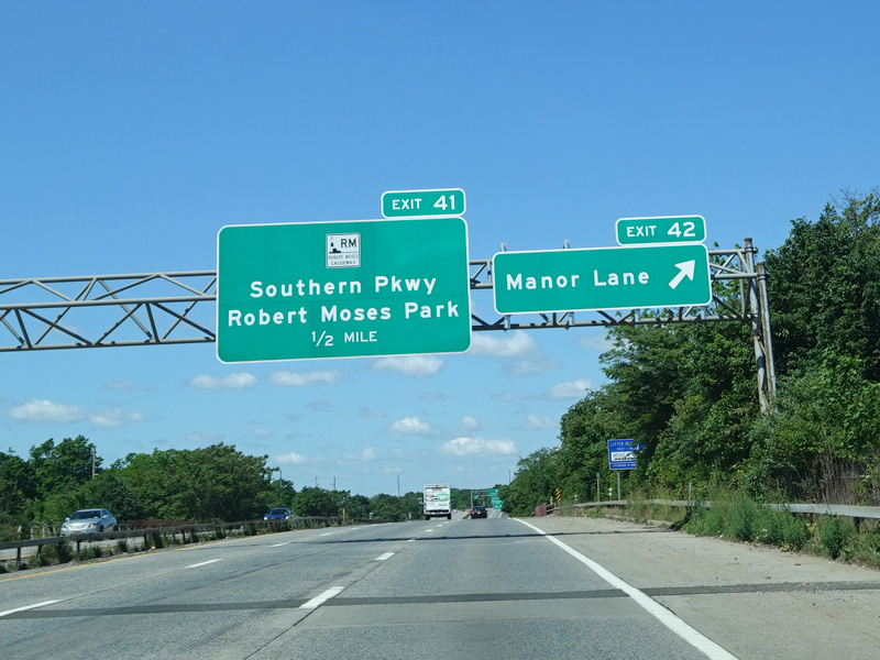
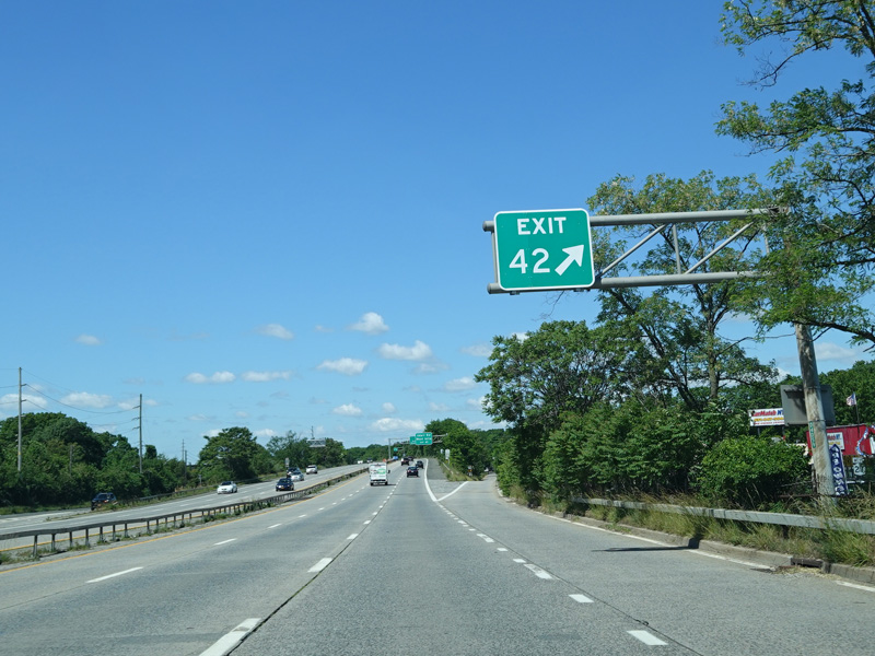
Exit 42 is for Manor Lane.
Photos taken June 2020.

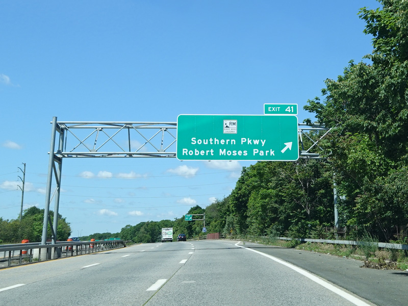
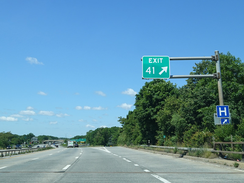
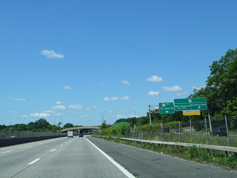
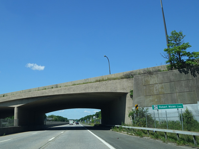
Exit 41 is for the Robert Moses Causeway. It also provides access to Udall Road (CR 82).
Photos taken June 2020.


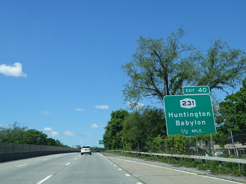
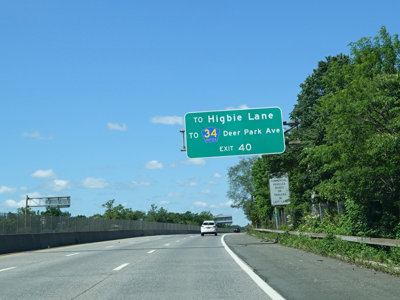
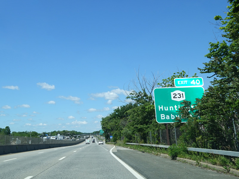
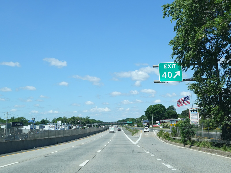
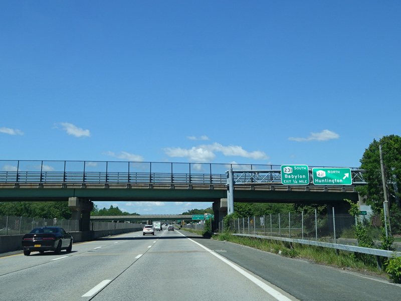
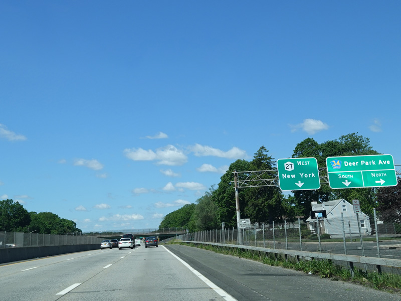
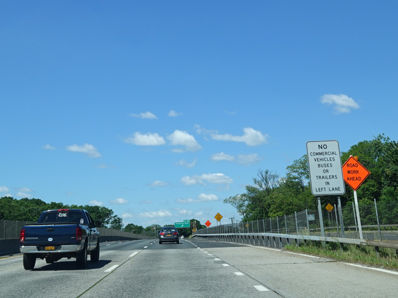
Exit 40 is for the Babylon-Northport Expressway (NY 231). It also provides access to Higbie Lane and Deer Park Avenue (CR 34).
Photos taken June 2020.


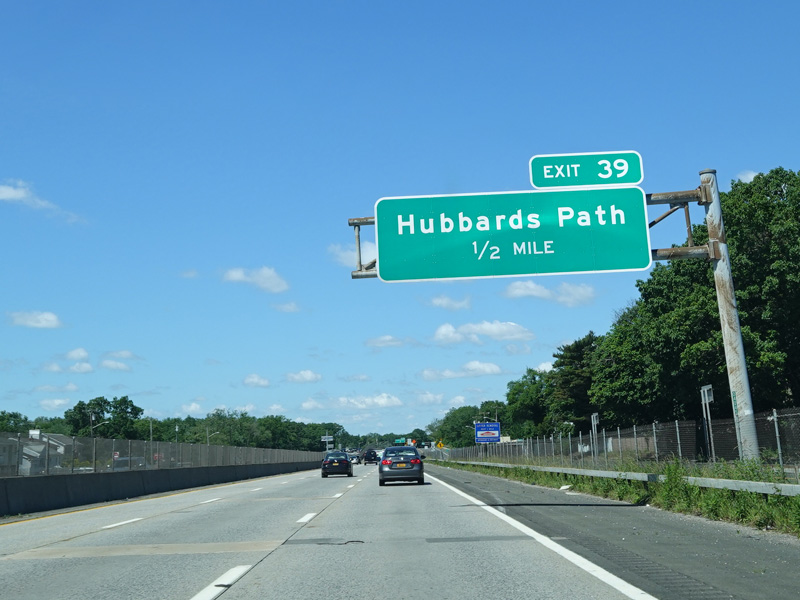

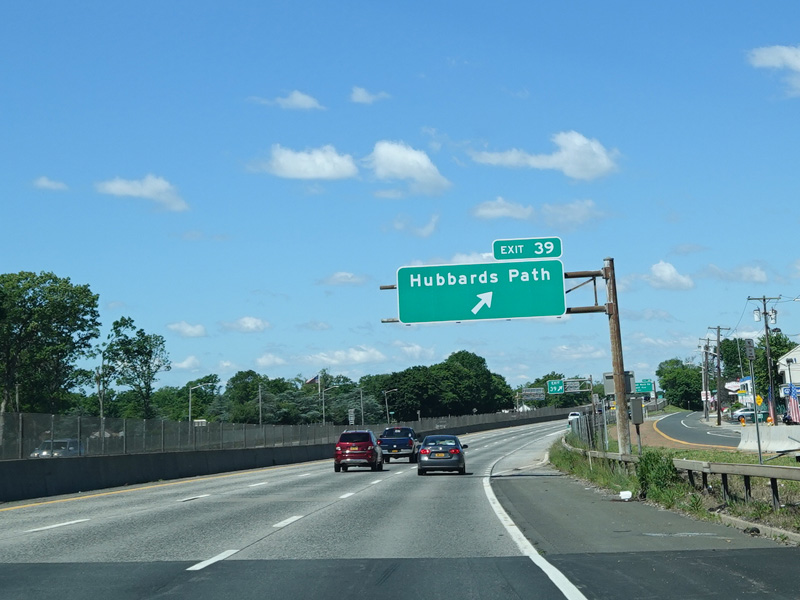

Exit 39 is for Hubbards Path.
Photos taken June 2020.
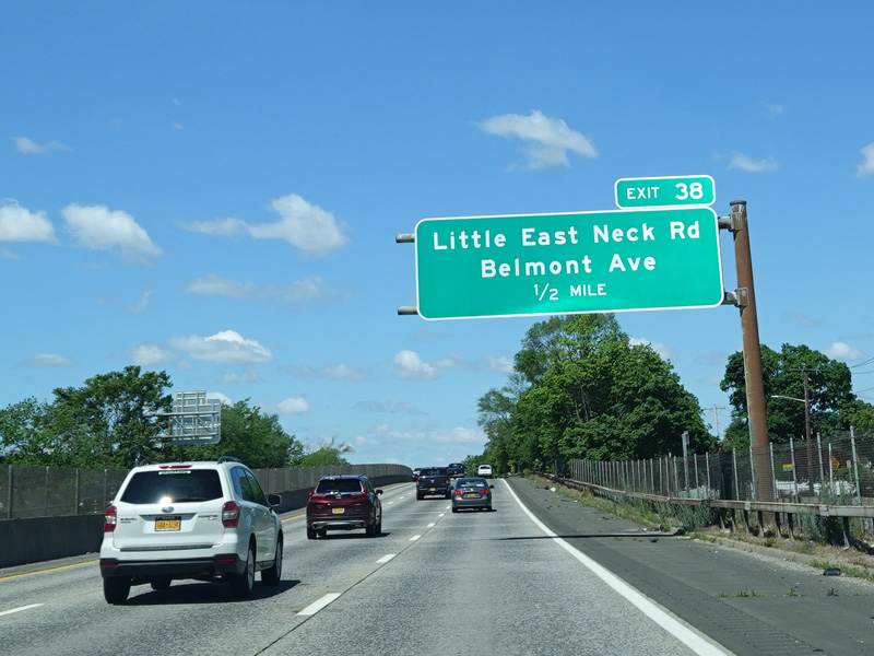
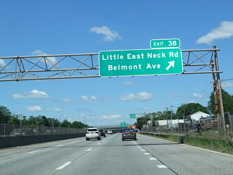
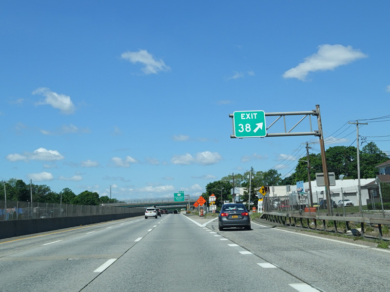
Exit 38 is for Little East Neck Road and Belmont Avenue.
Photos taken June 2020.
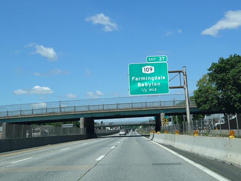


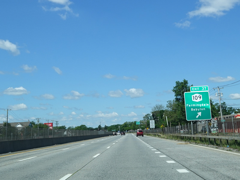

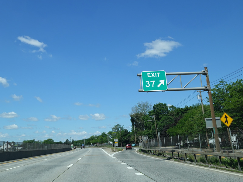
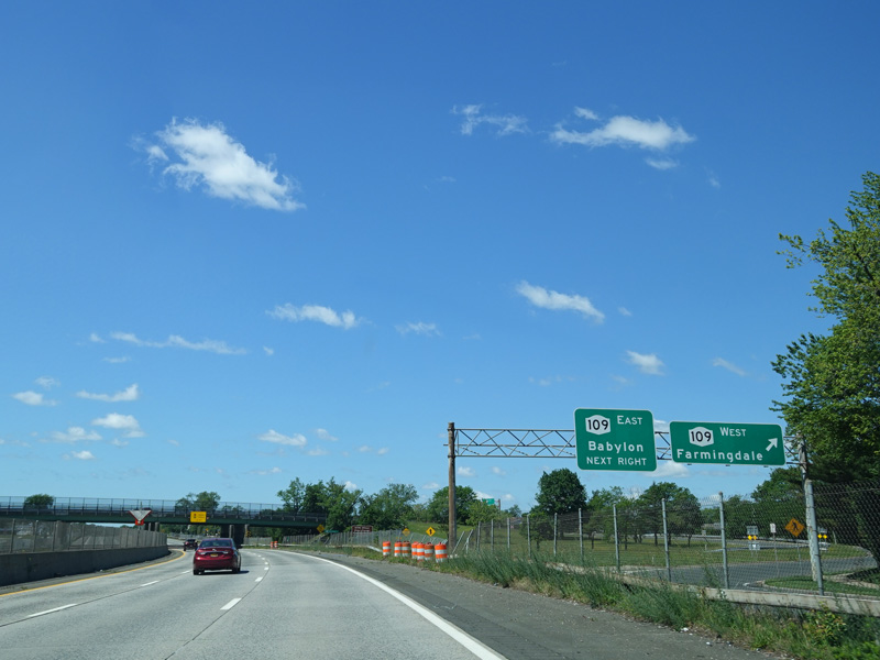
Exit 37 is for Babylon-Farmingdale Road (NY 109).
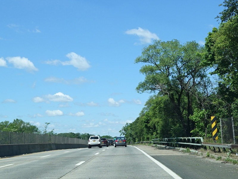
Photos taken June 2020.

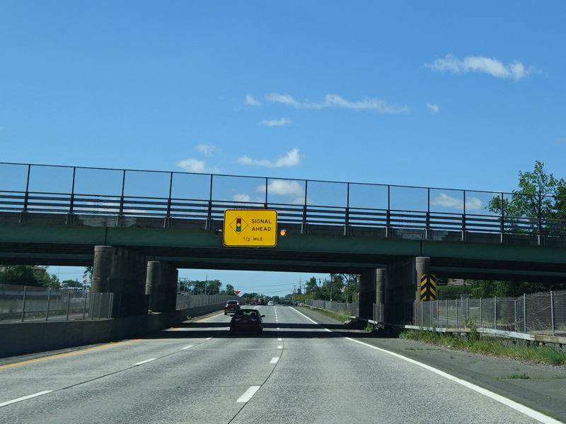
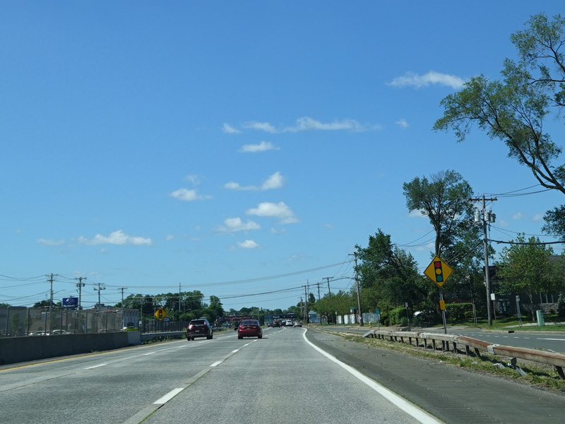
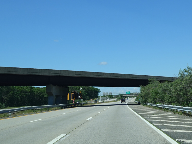
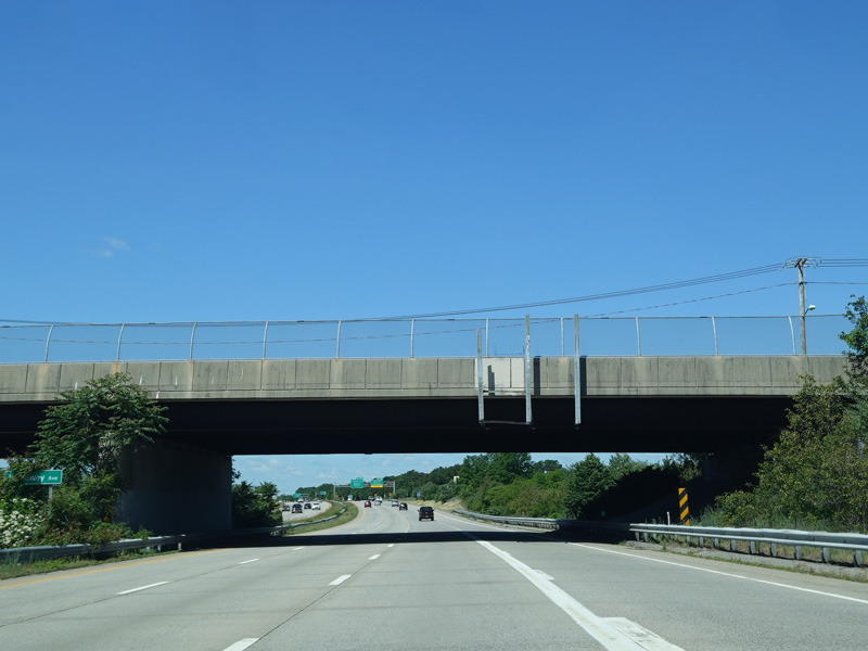
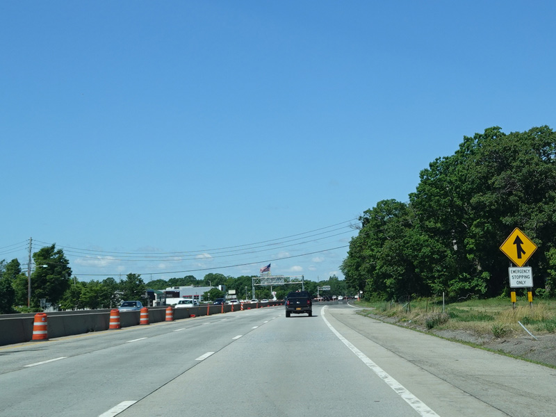
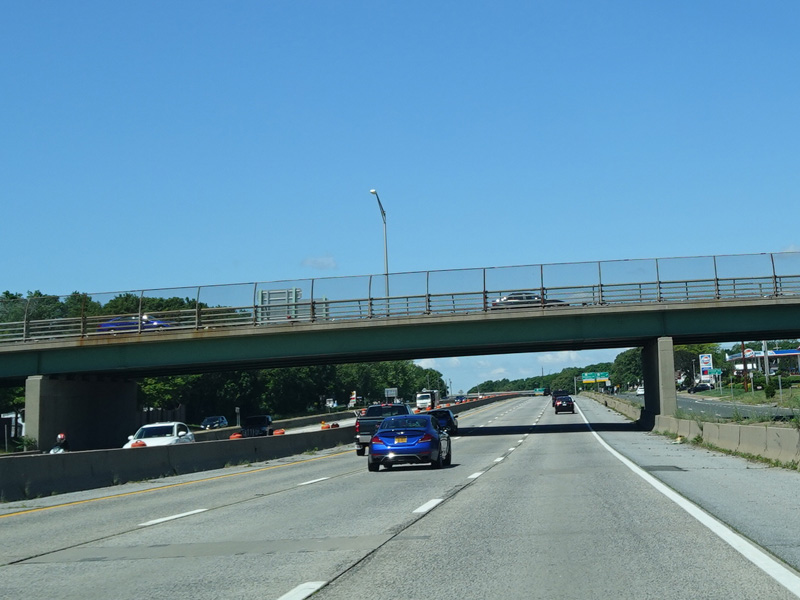
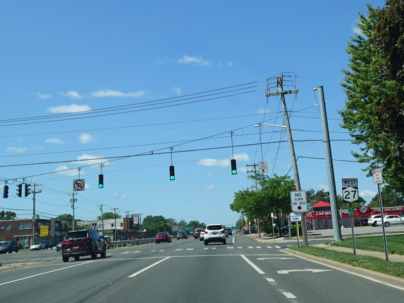
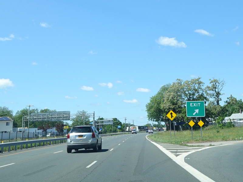
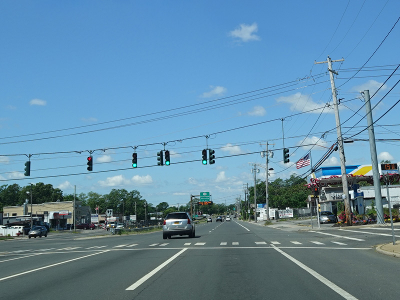
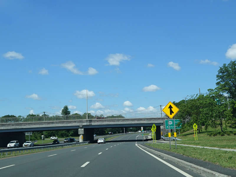
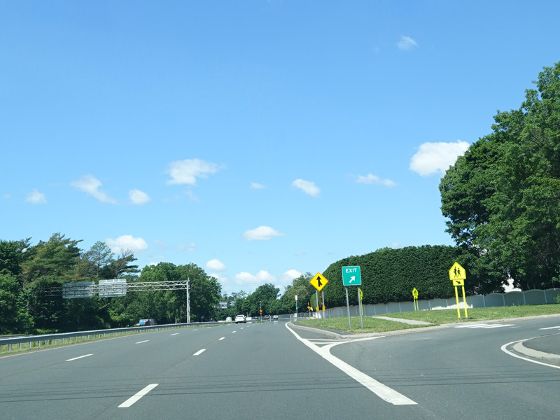
A short distance after exit 37, the expressway ends. The service road merges in from the right. There is advance signage for traffic lights ahead as Sunrise Highway becomes a surface road west of this point.
Photos taken June 2020.

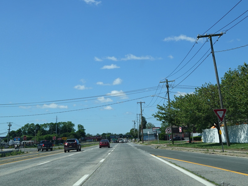
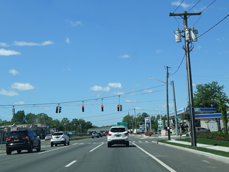
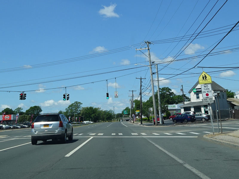
After the first traffic light, Sunrise Highway passes under the Central Branch of the Long Island Rail Road.
Photo taken June 2020.
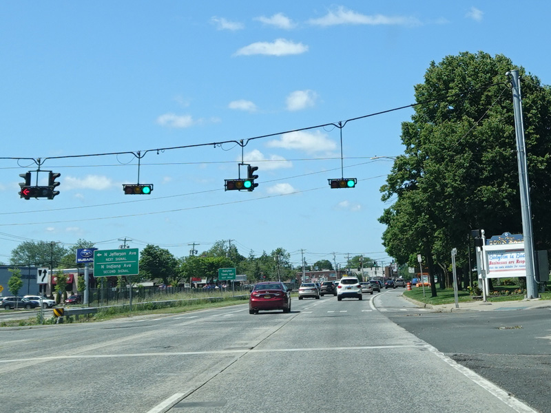
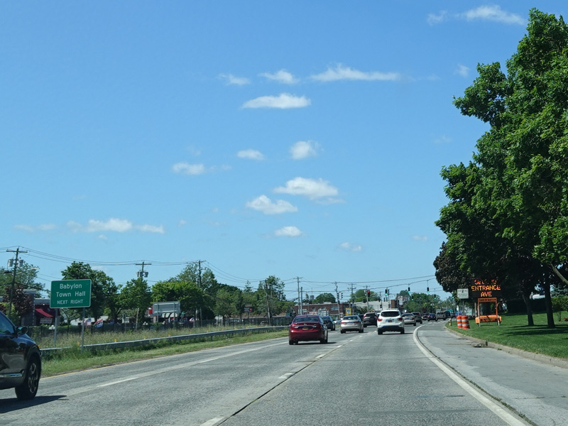

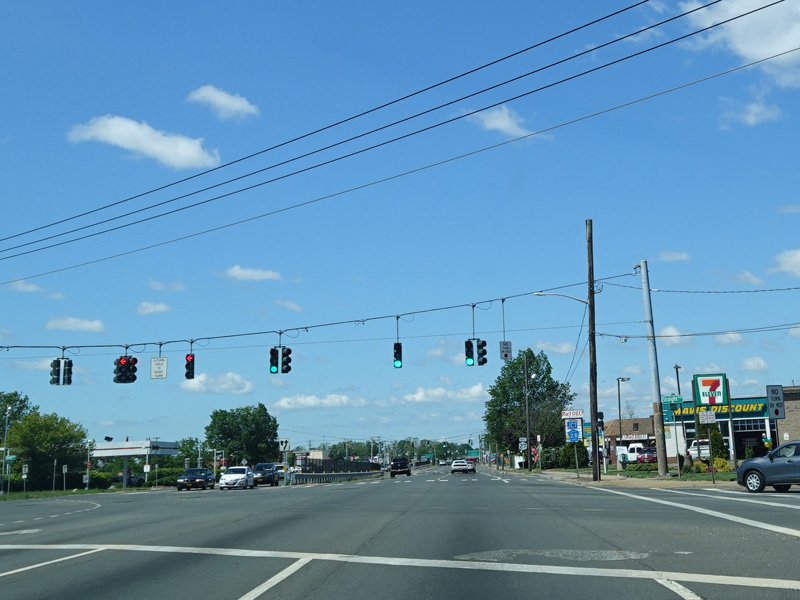
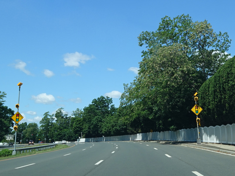
There are traffic lights at North Jefferson Avenue, North Indiana Avenue, and North Delaware Avenue.
Photos taken June 2020.


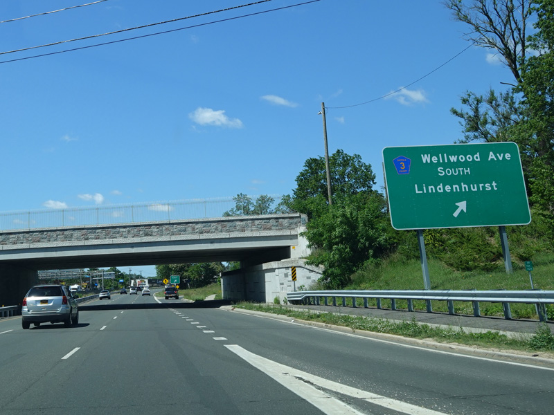
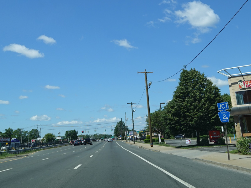
There is a grade-separated interchange at Wellwood Avenue (CR 3).
Photos taken June 2020.

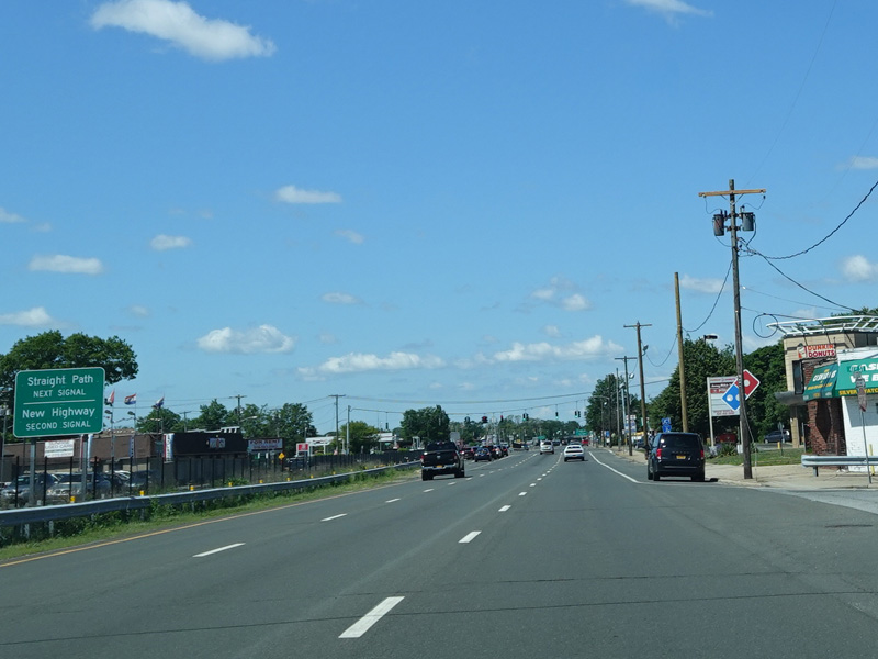
There is a traffic light at Straight Path (CR 2). Turn right to go north or left to go south.
Photos taken June 2020.

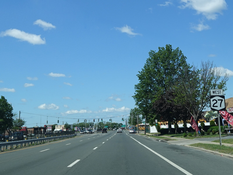

New Highway (CR 28) begins on the right at a traffic light.
Photos taken June 2020.
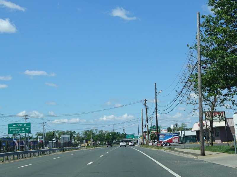

There is a traffic light at 35th Street and Bethpage Road.
Photos taken June 2020.

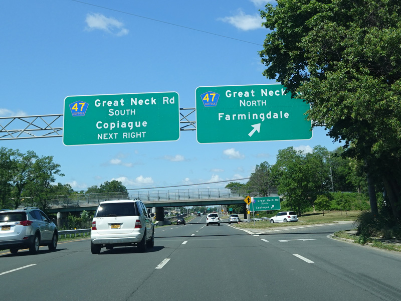
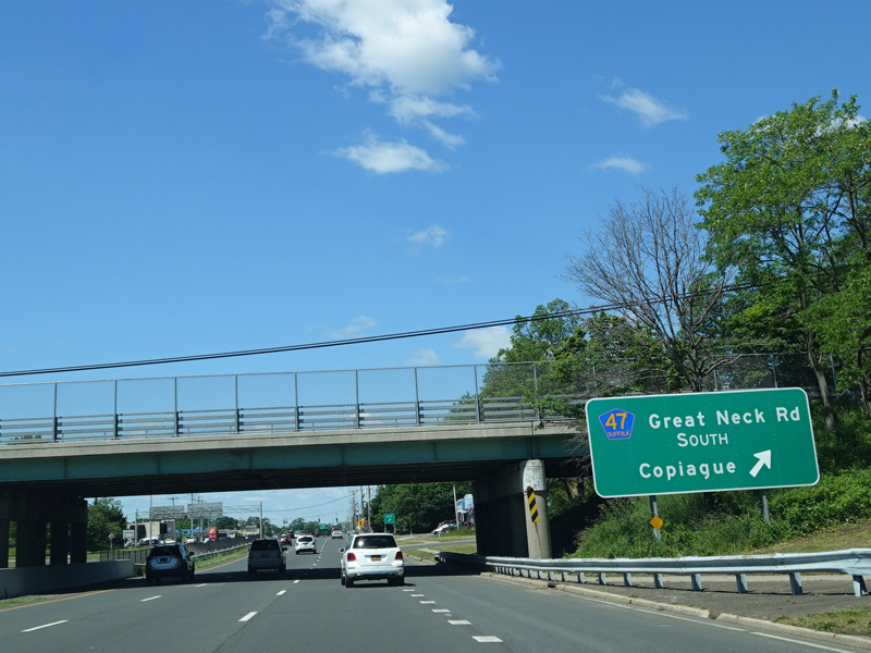
There is a grade-separated interchange at Great Neck Road (CR 47).
Photos taken June 2020.

There is a traffic light at Bayview Avenue.
Photos taken June 2020.


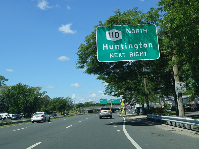
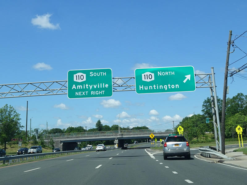

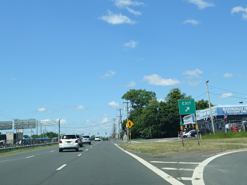
There is a grade-separated interchange at Broadway (NY 110).
Photos taken June 2020.

There is a traffic light at County Line Road (CR 1). Turn right to go north or left to go south. There is no county route signage at this intersection.
Photos taken June 2020.