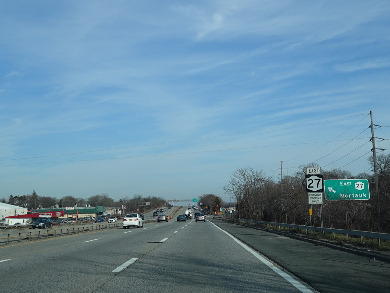
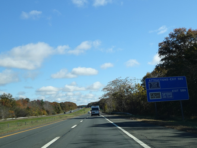
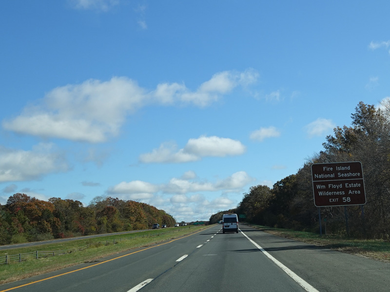
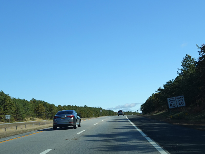
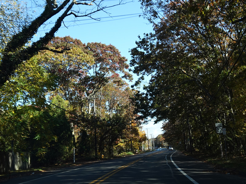
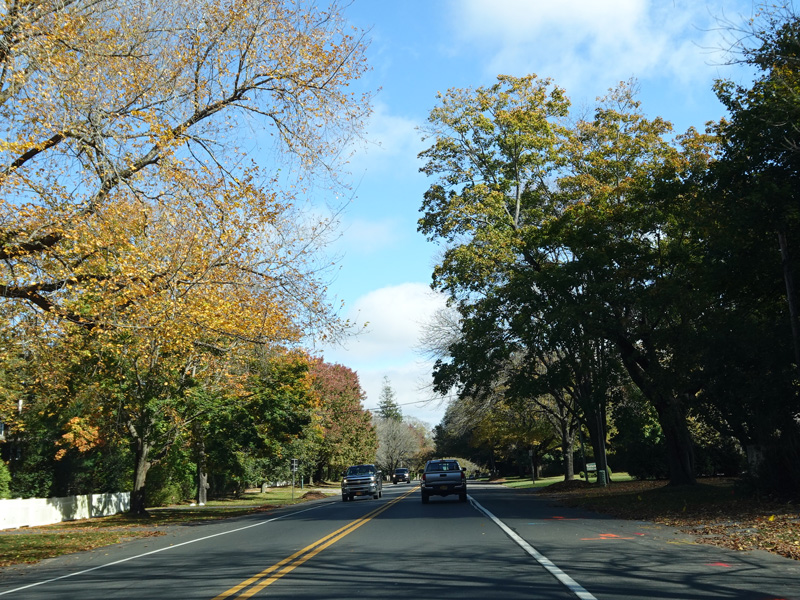
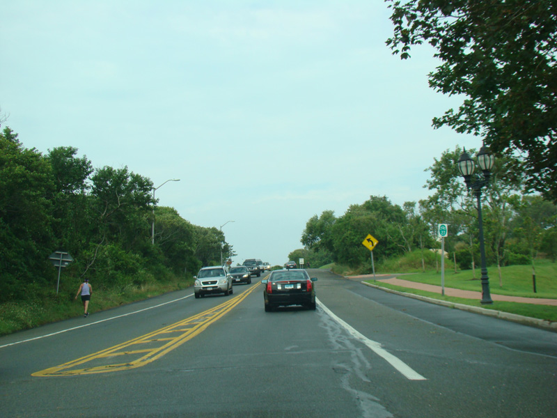
Prospect Expressway, Church Avenue, Coney Island Avenue, Caton Avenue, Linden Boulevard, North Conduit Avenue, South Conduit Avenue, Sunrise Highway, North Road, Flying Point Road, Montauk Highway
Eastbound Views
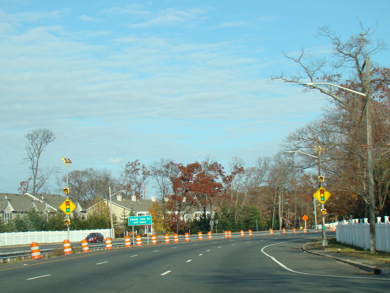
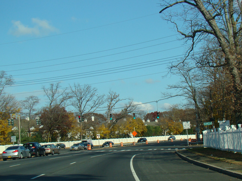
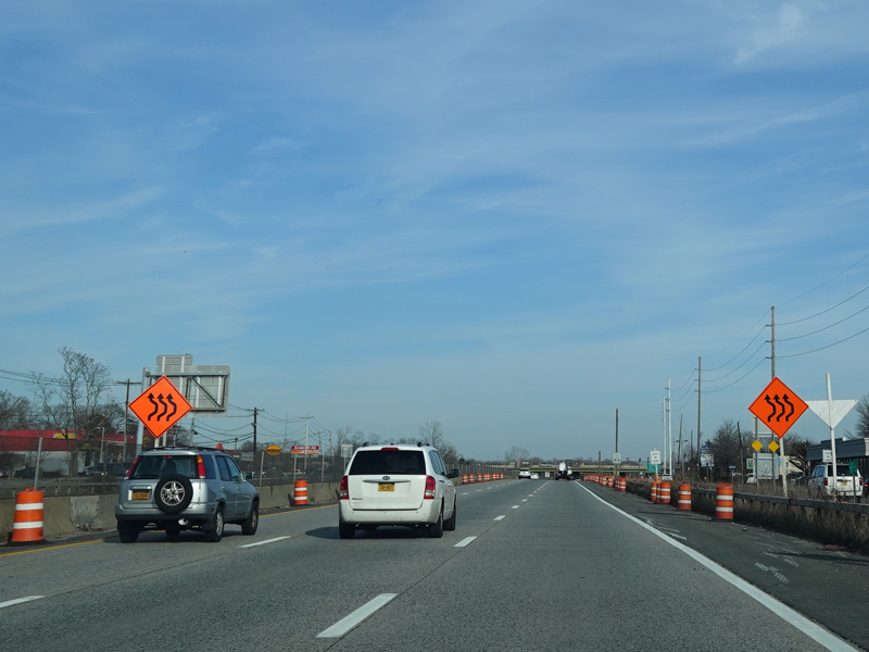
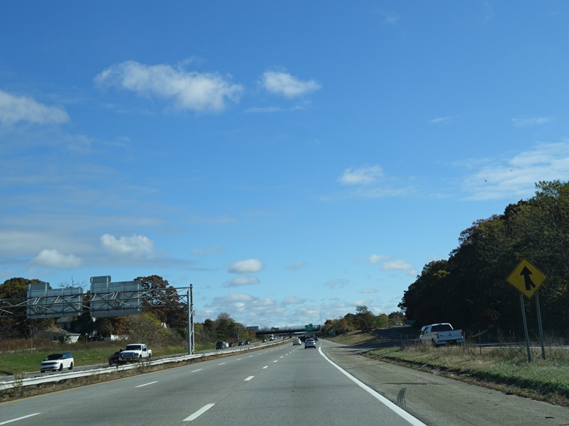
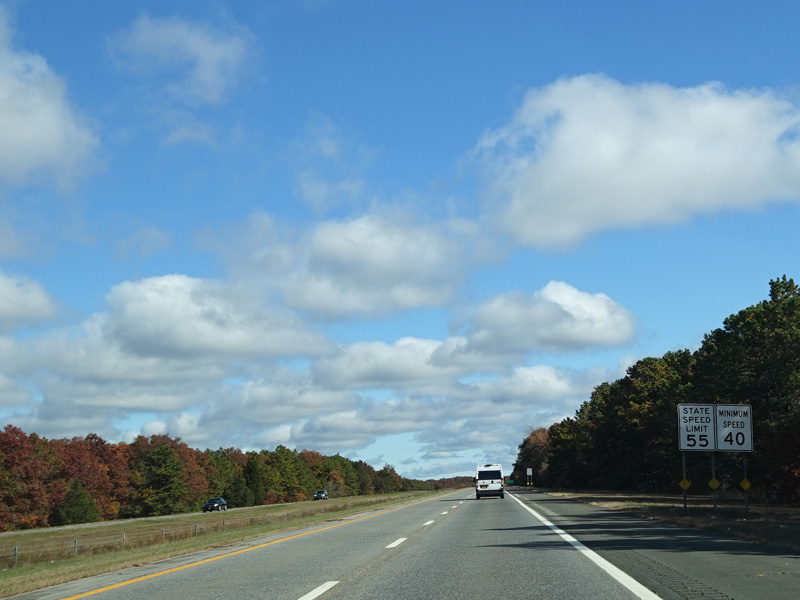
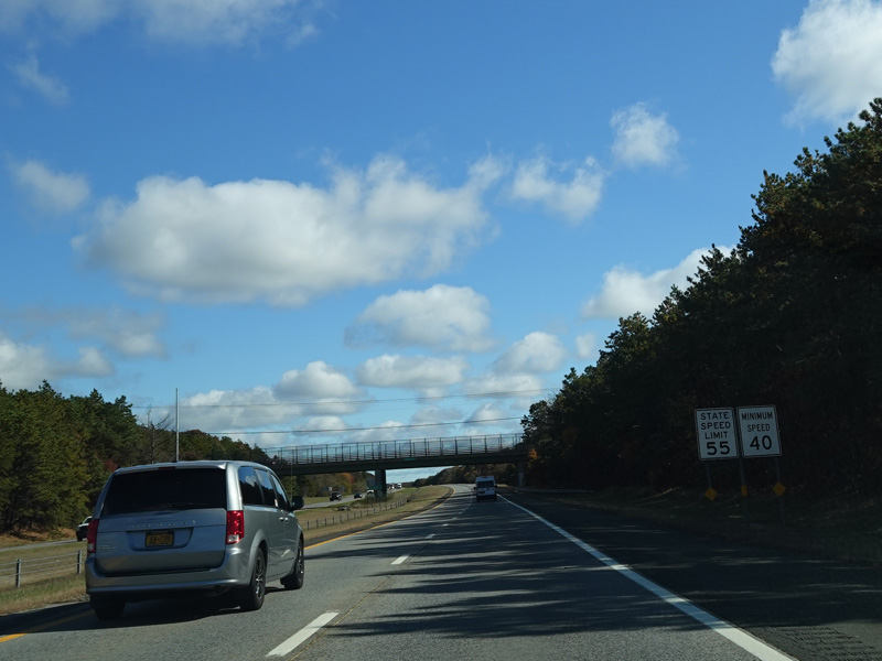
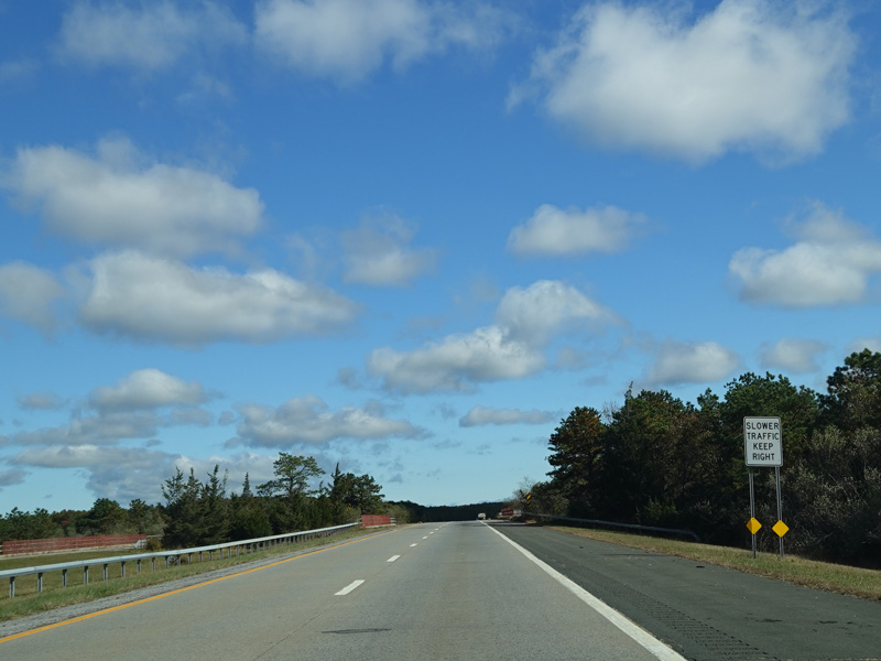
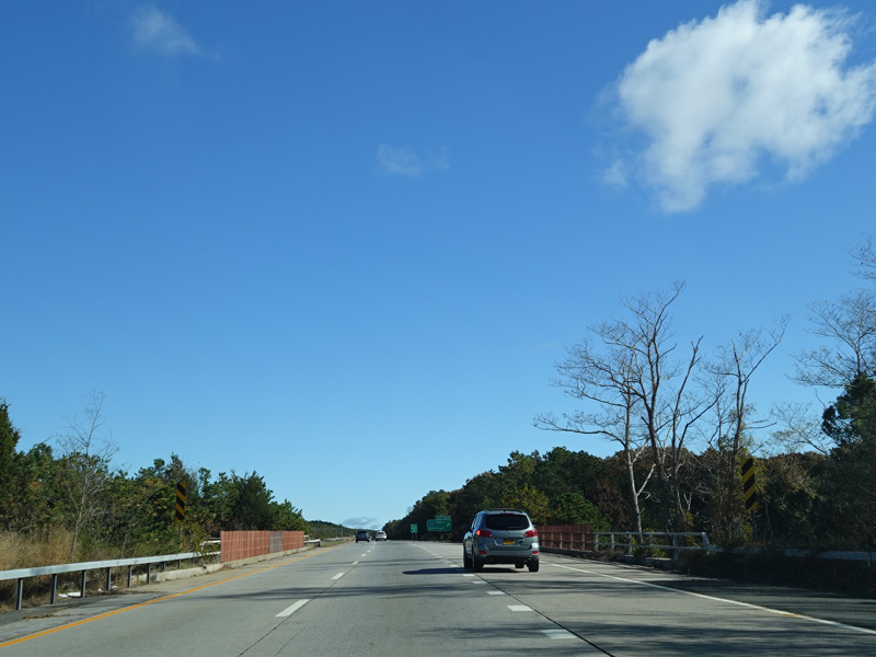
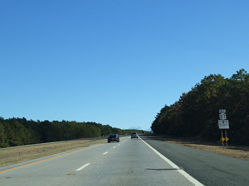
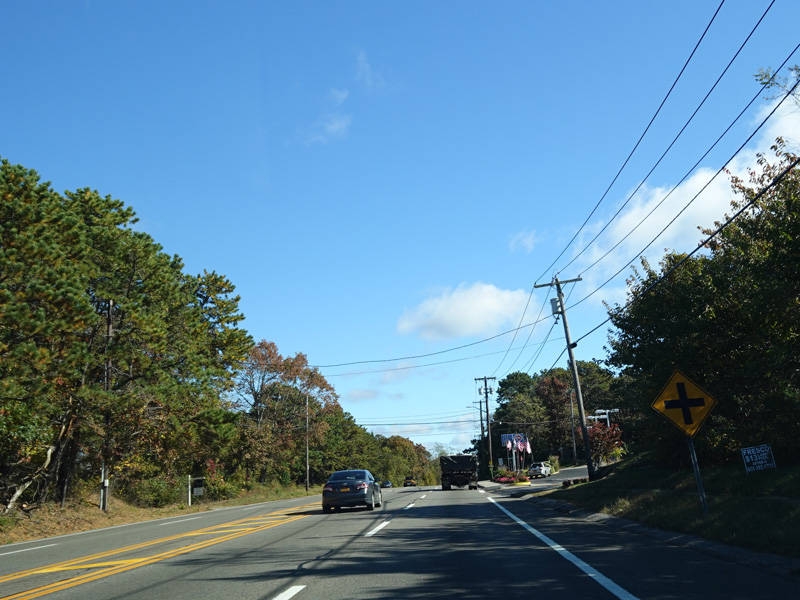
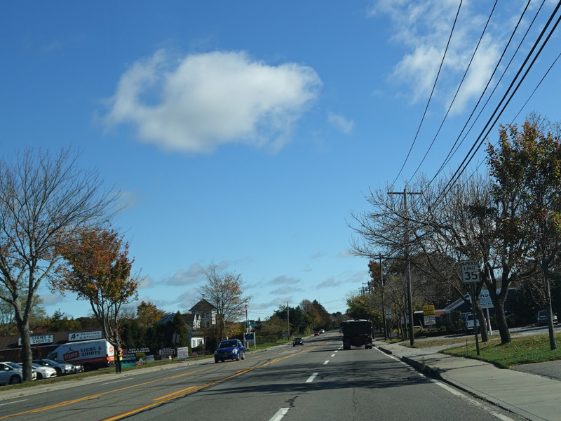
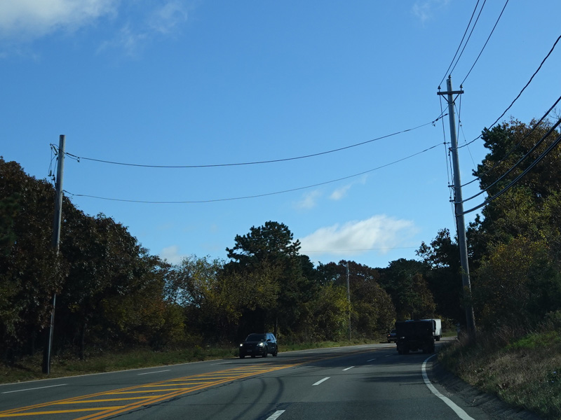
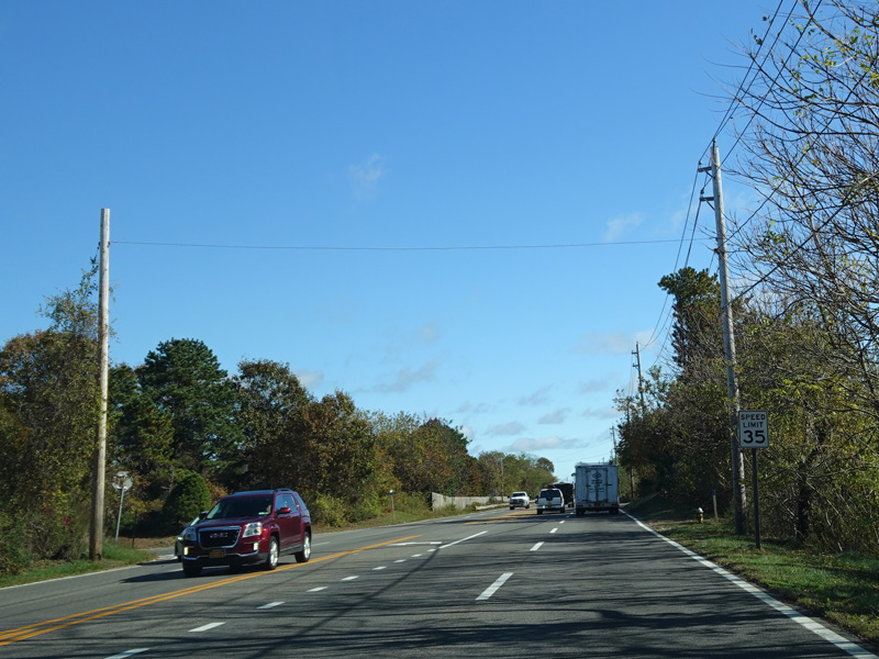
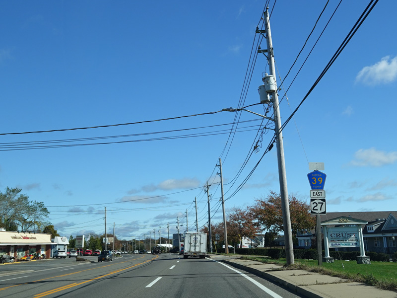
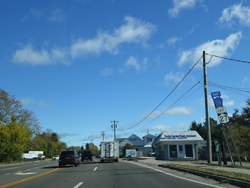
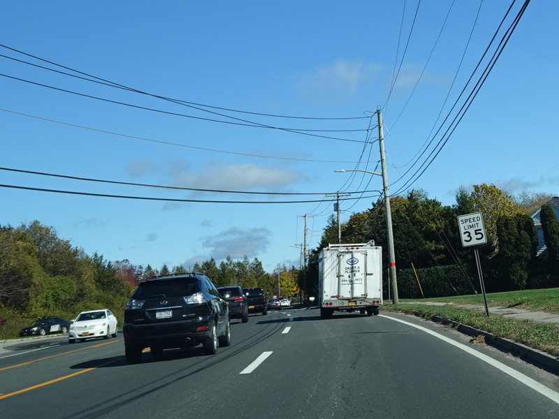
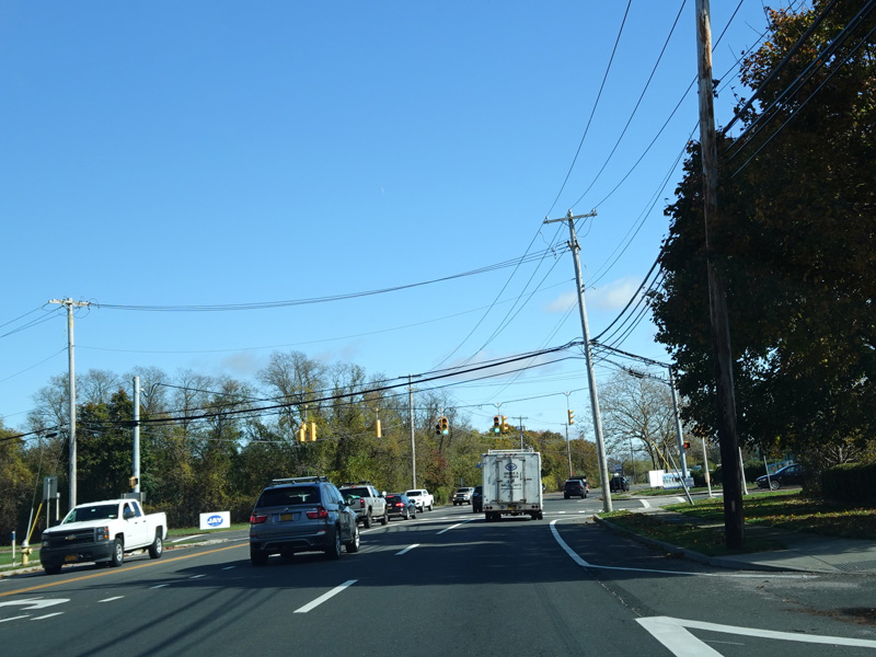
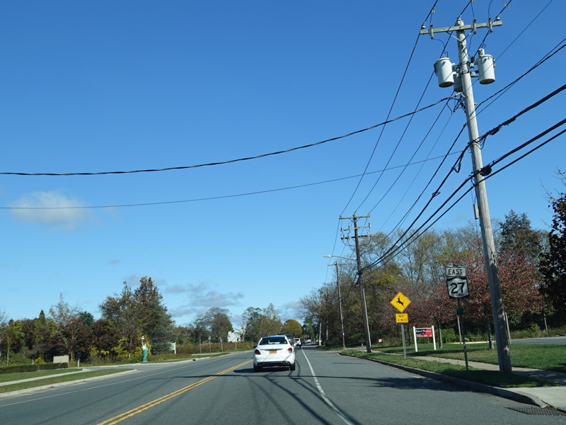
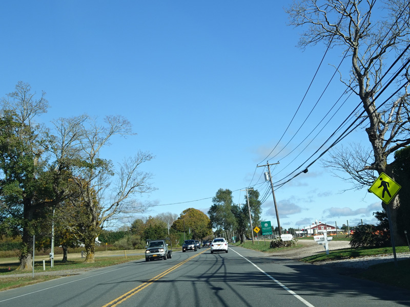
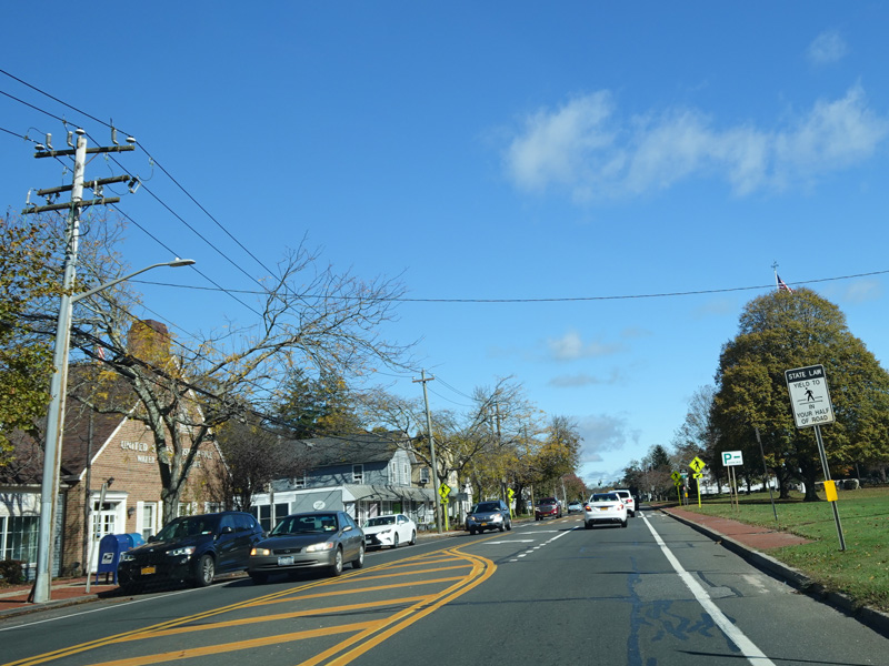
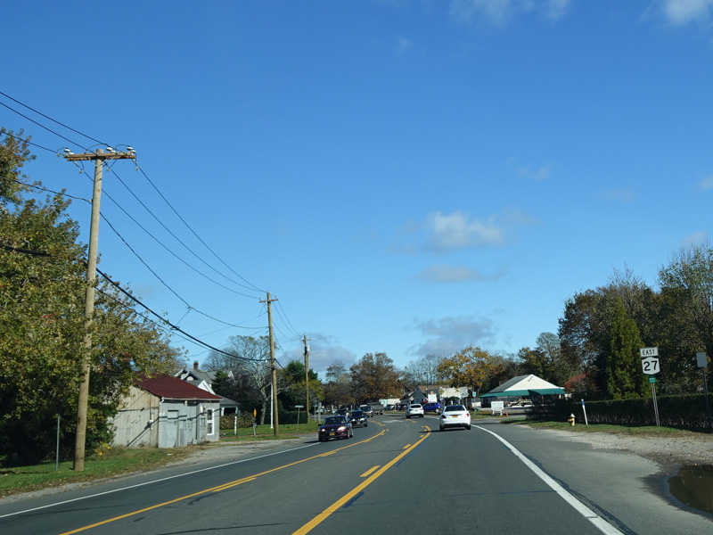
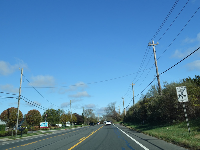
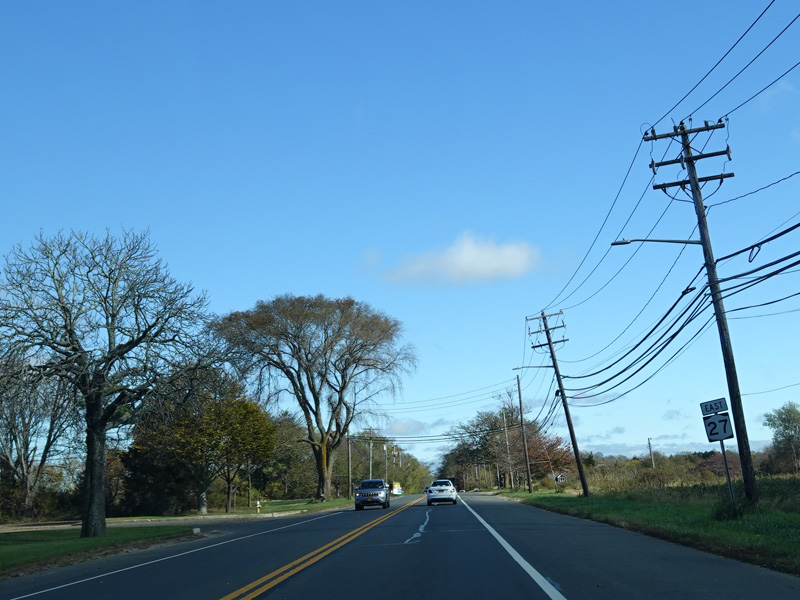
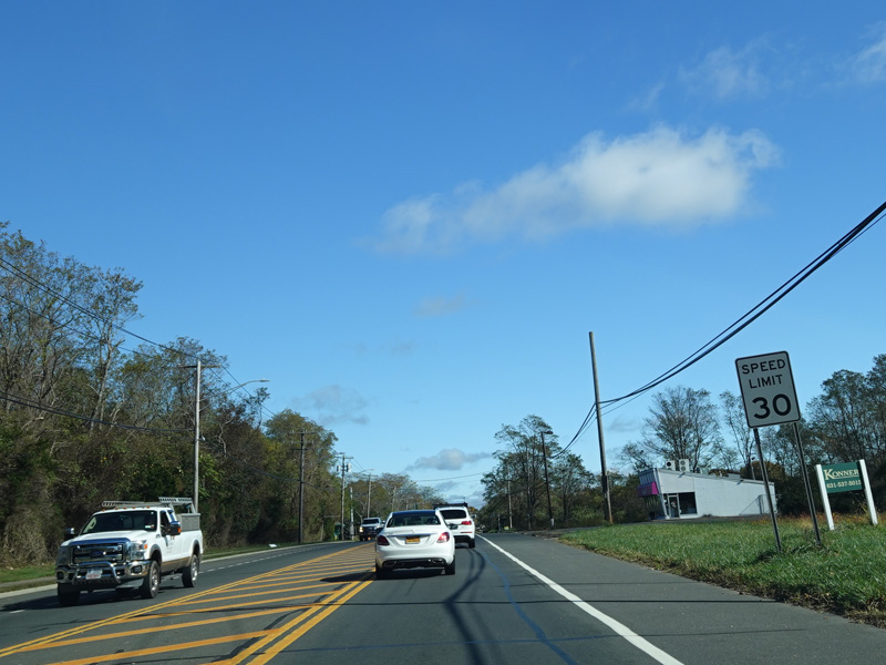
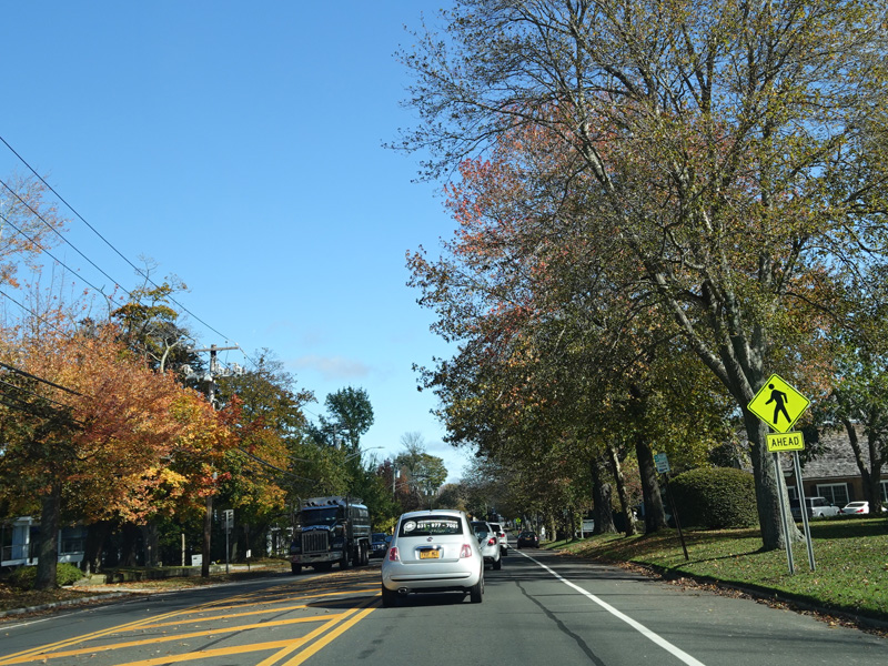
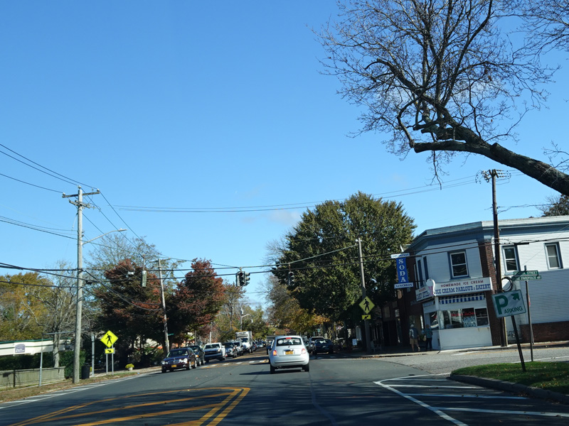
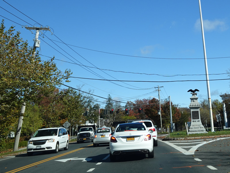
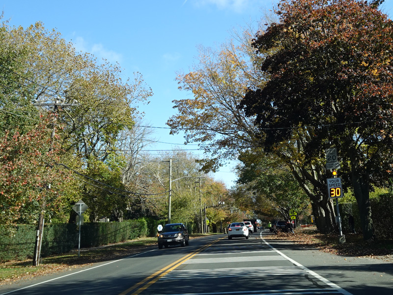
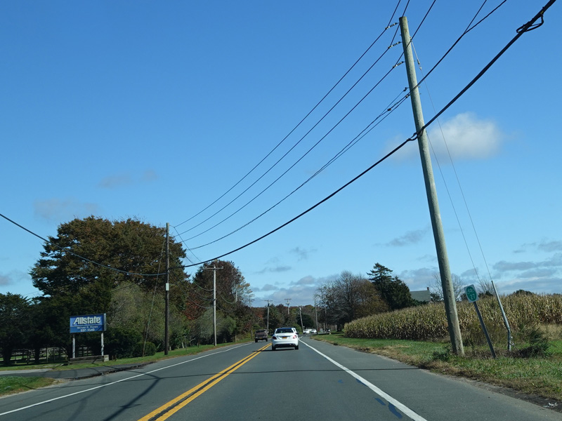
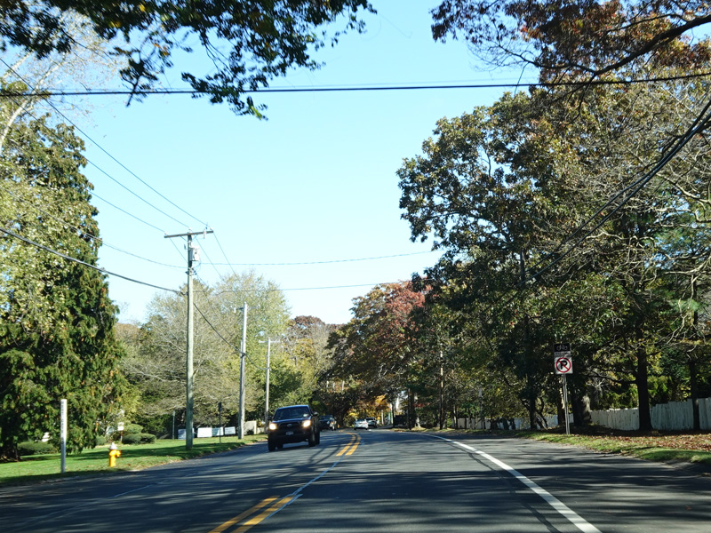
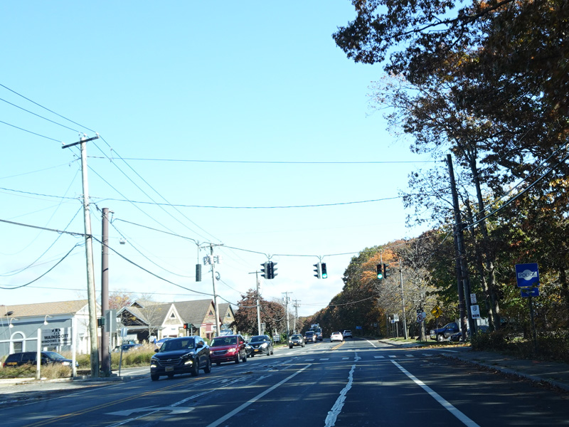
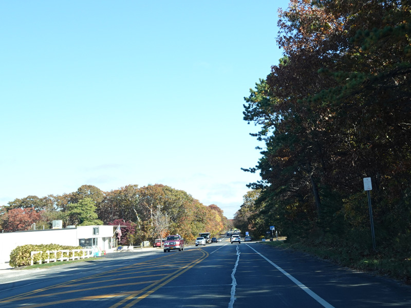
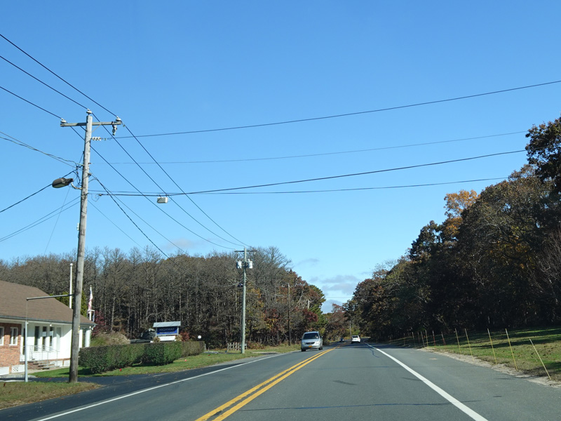
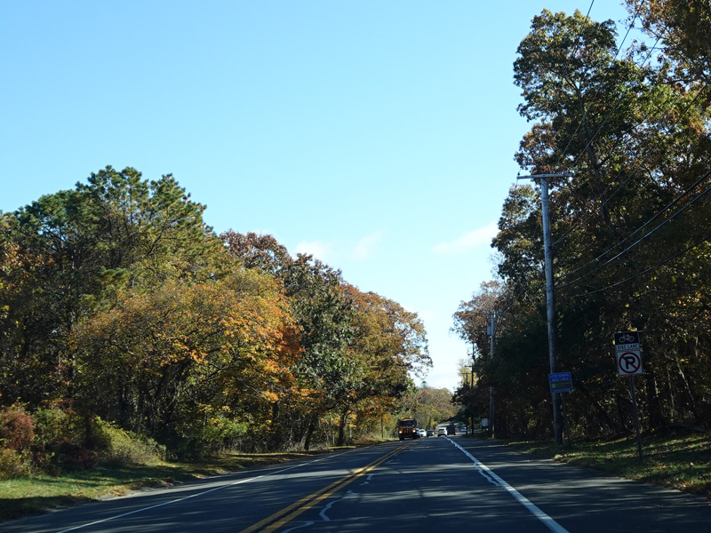
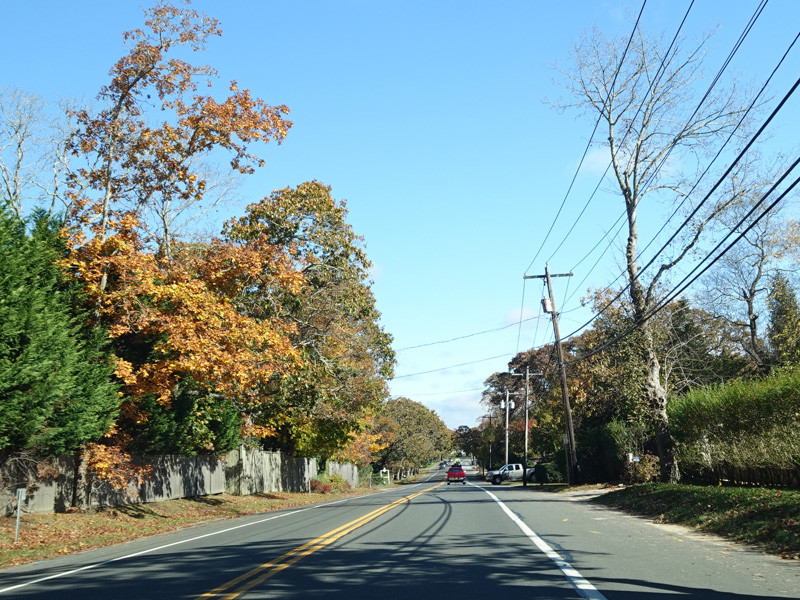
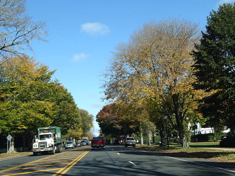
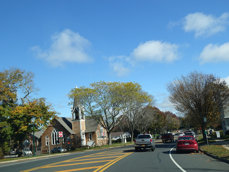
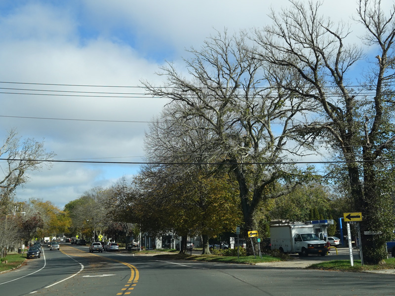
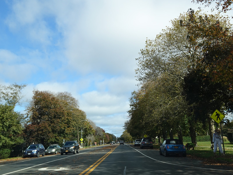
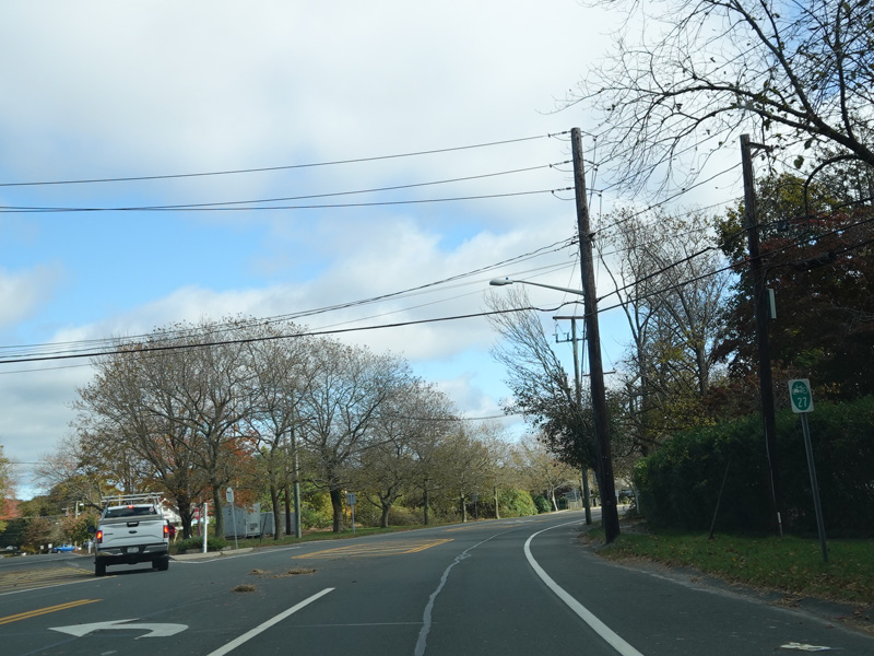
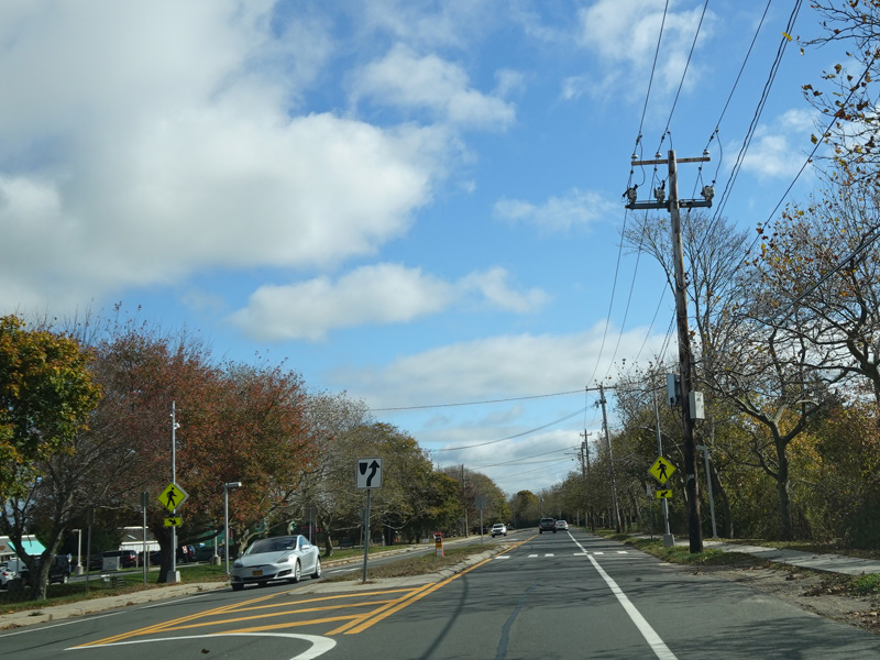
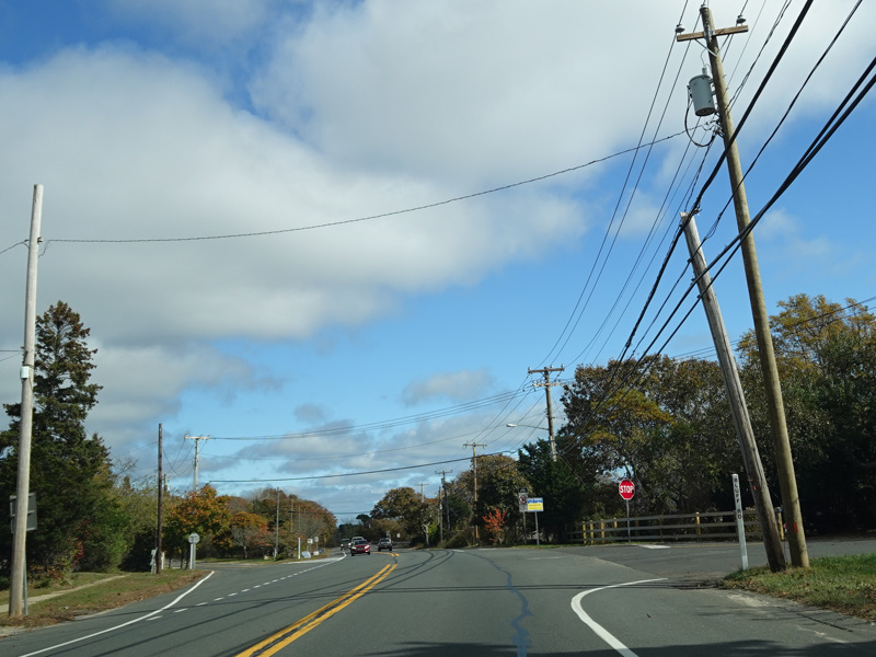
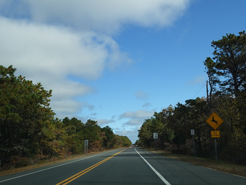
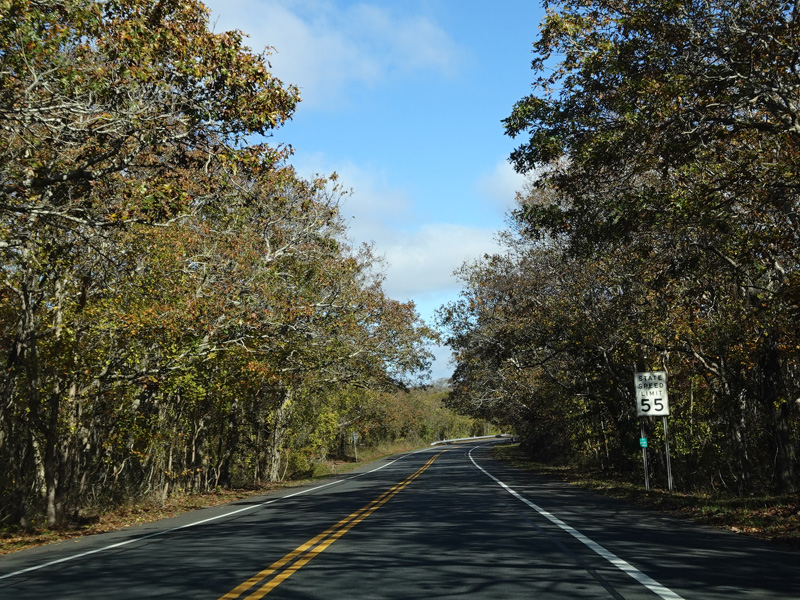
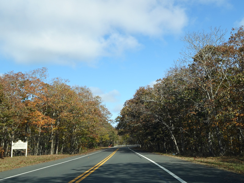
Welcome to Suffolk County! There is a traffic light at County Line Road (Suffolk CR 1). There is no signage giving the route number.
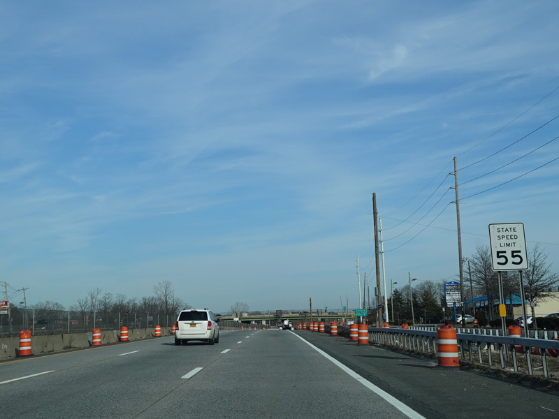
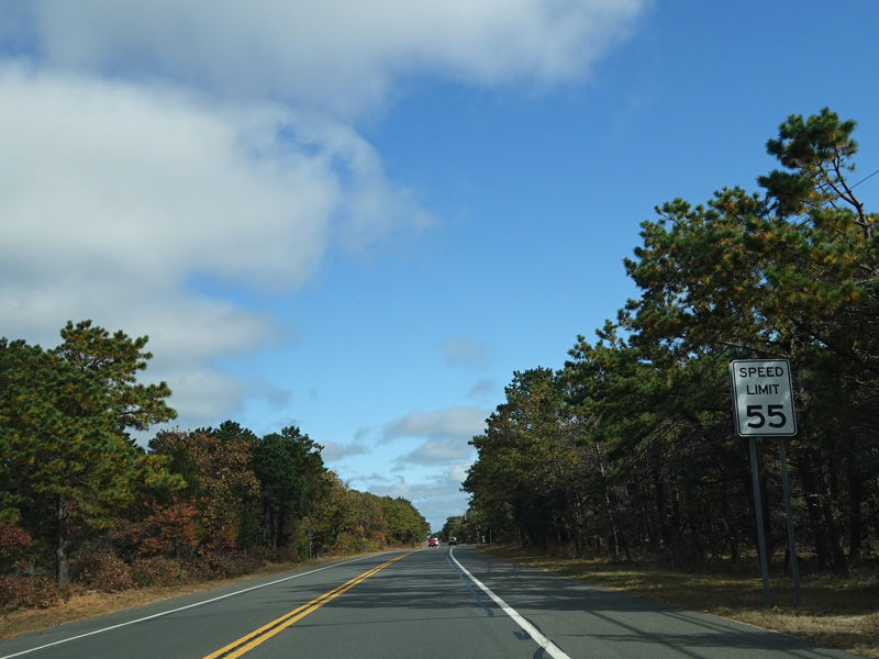
Photos taken November 2016.
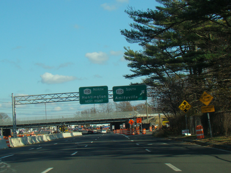
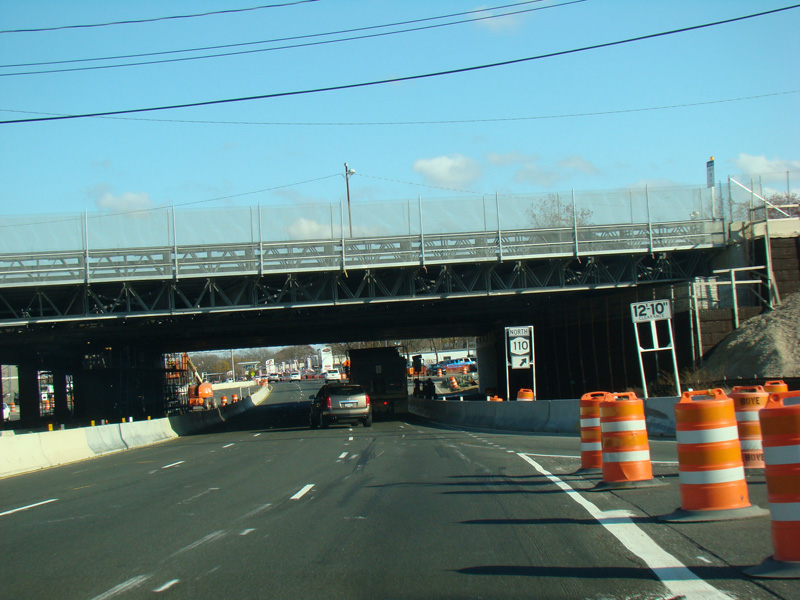
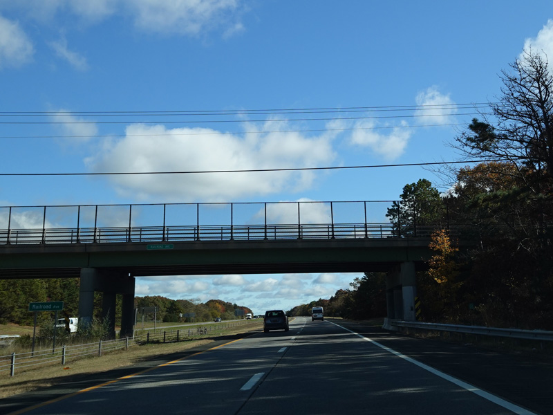
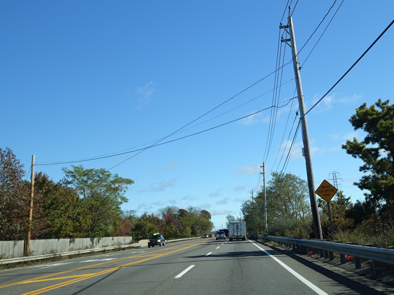
Immediately after crossing the border, there is a cloverleaf interchange with Broadway (NY 110).
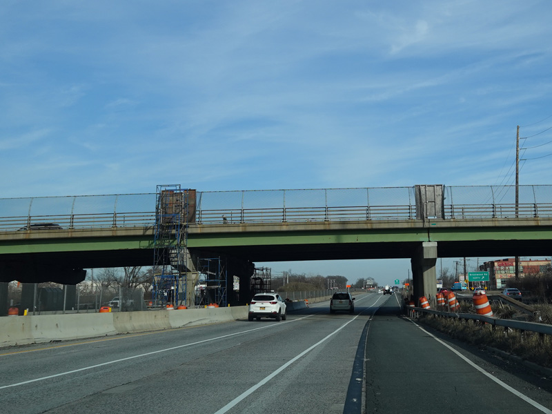
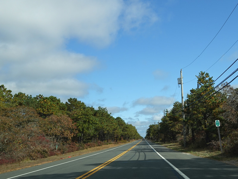
Photos taken November 2016.
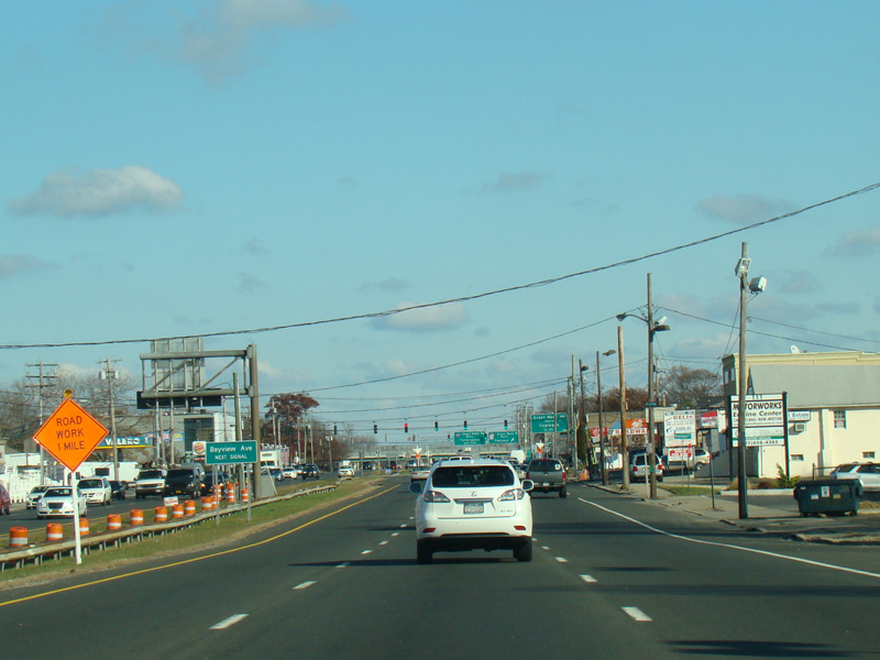
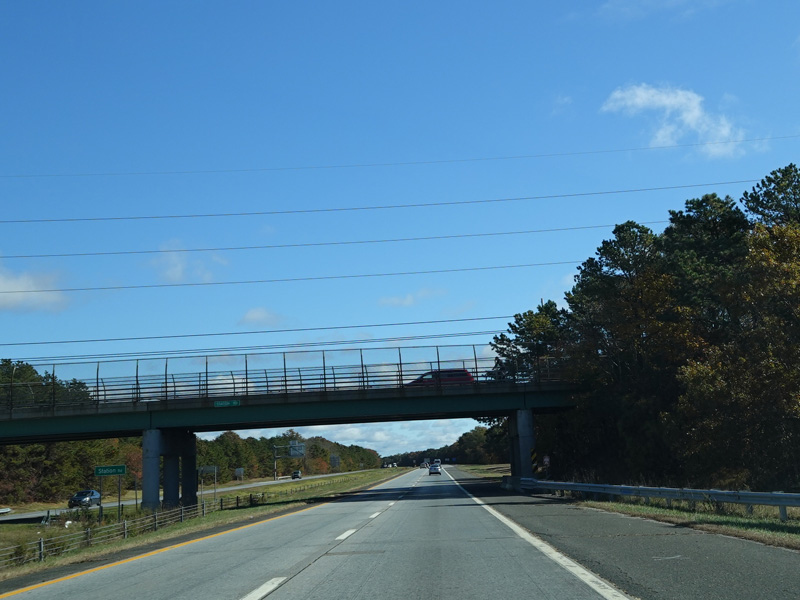
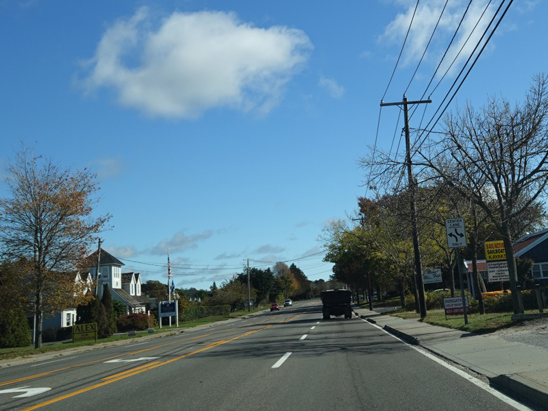
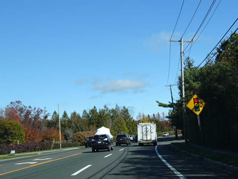
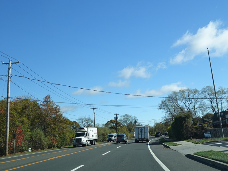
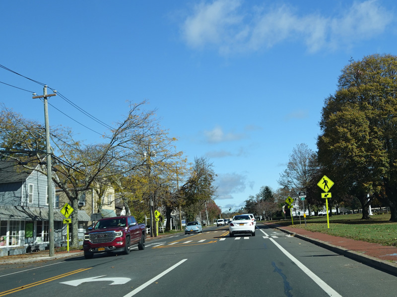
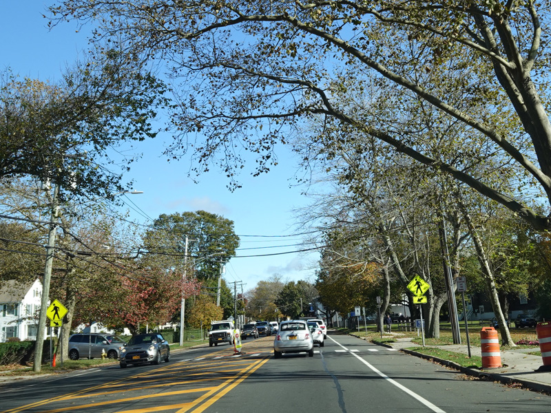
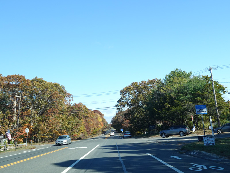
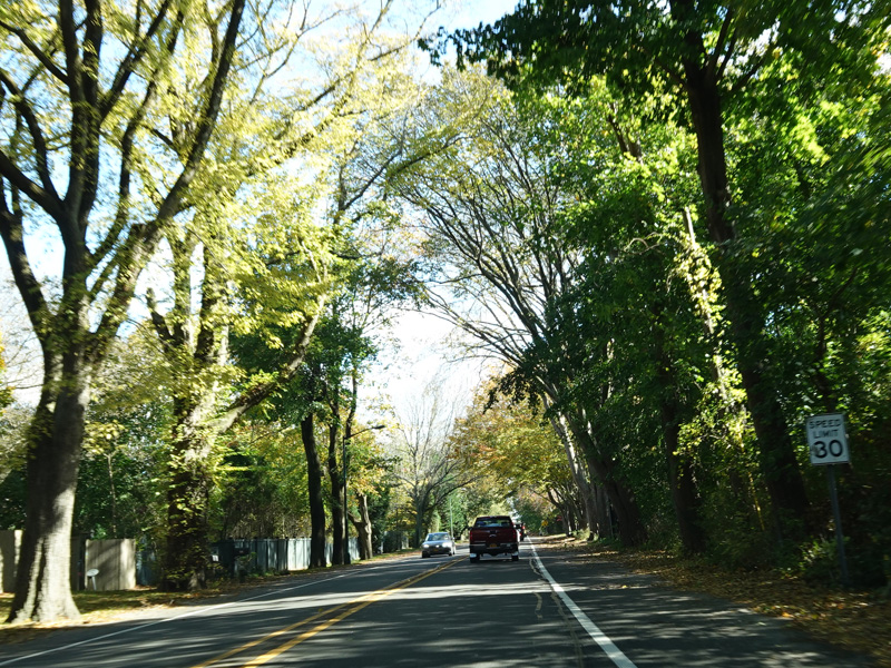
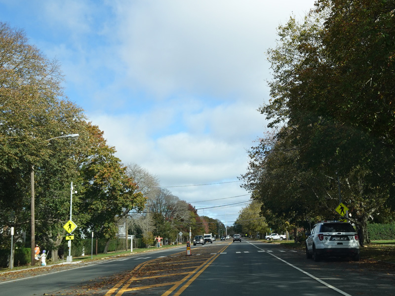
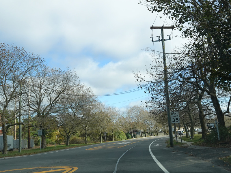
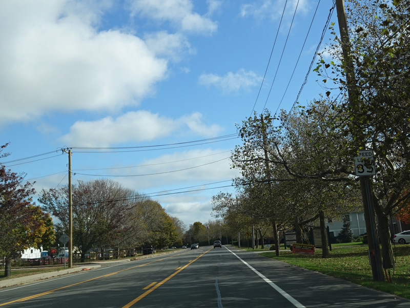
There is a traffic light at Bayview Avenue.
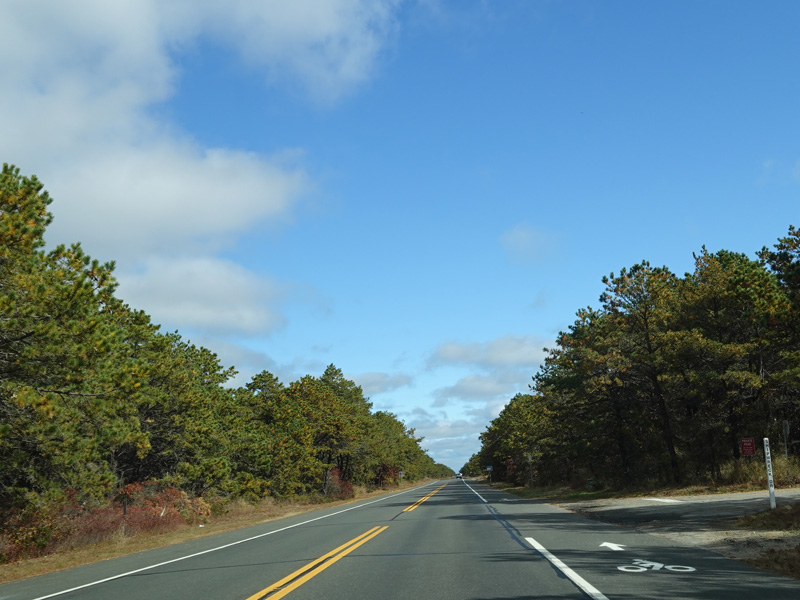
Photos taken November 2016.
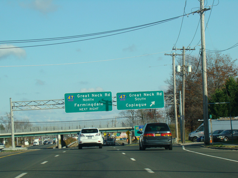
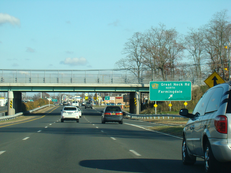
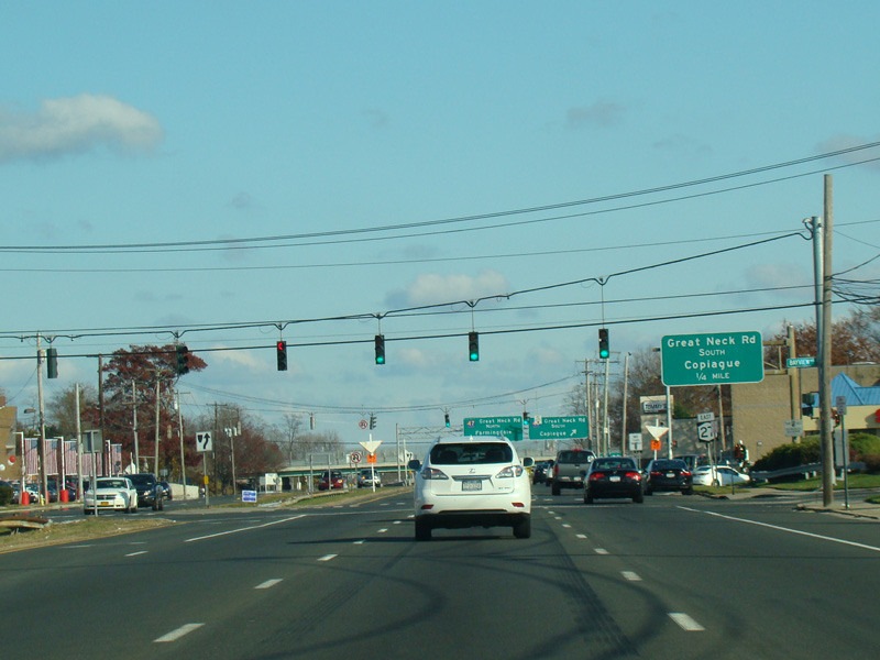
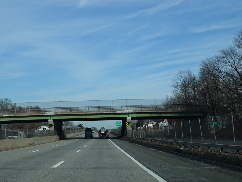
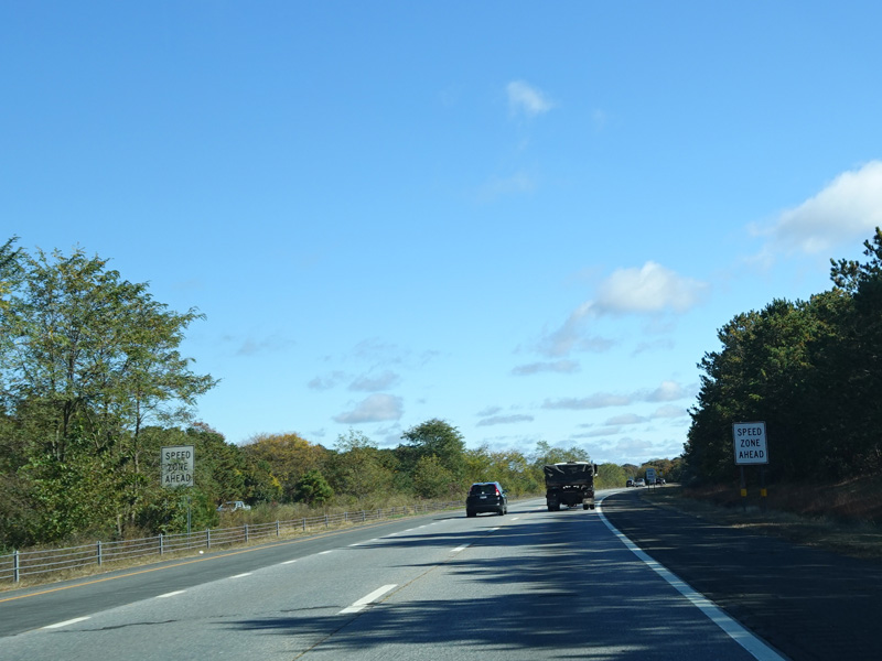
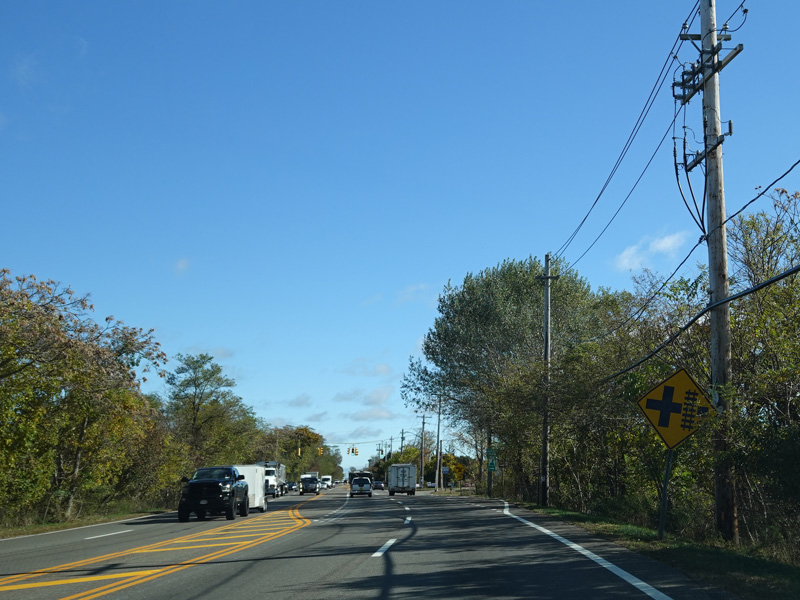
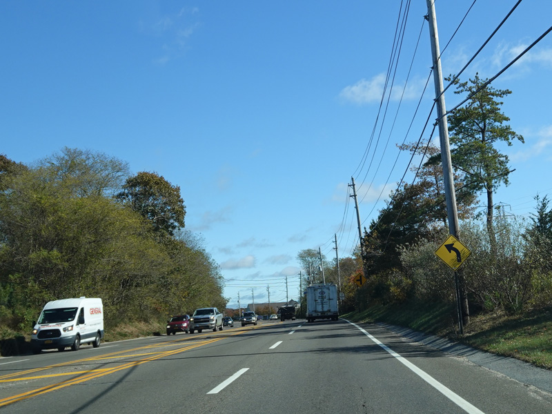
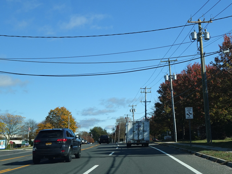
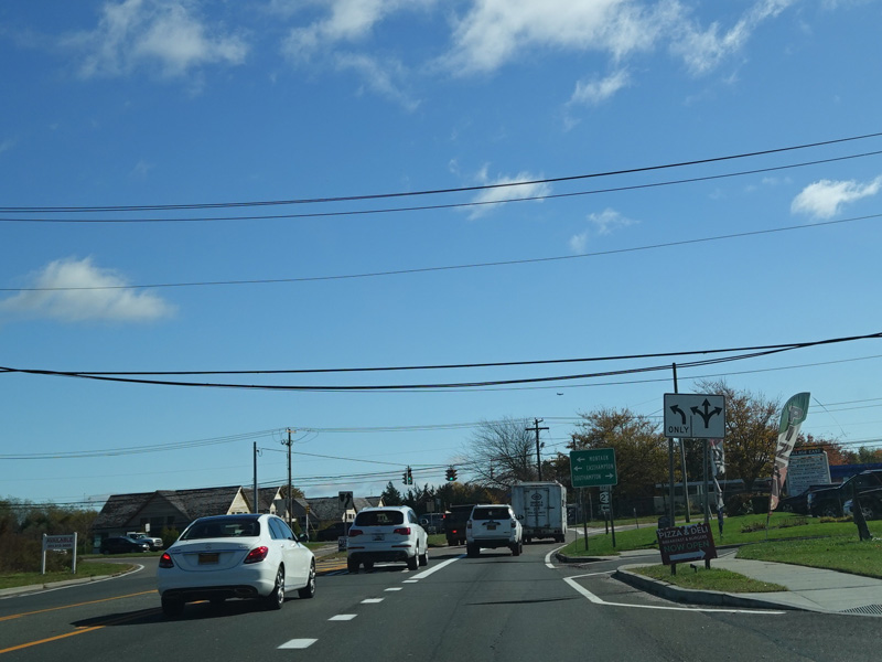
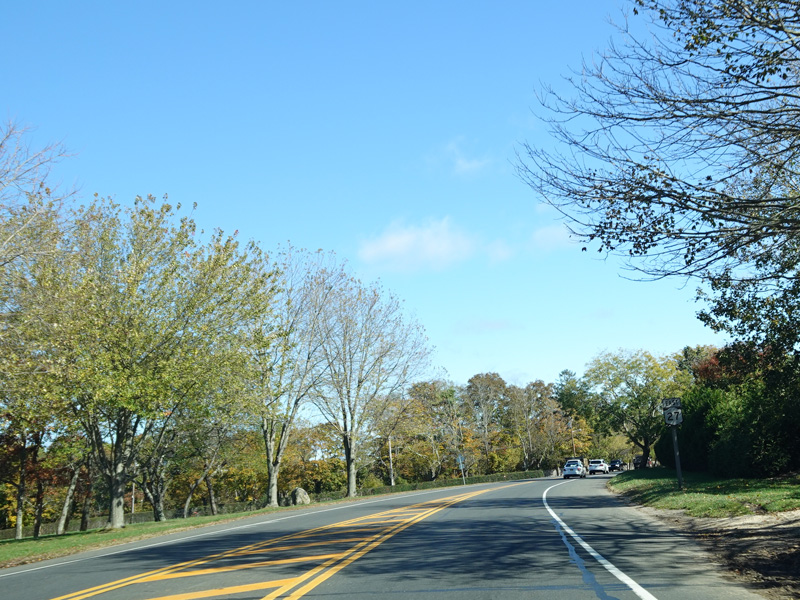
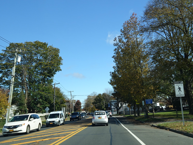
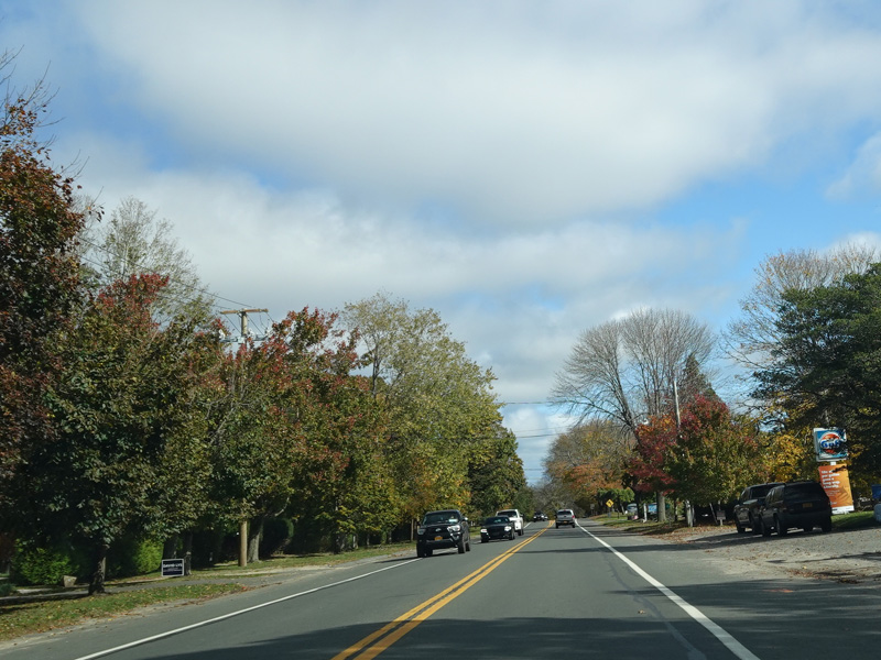
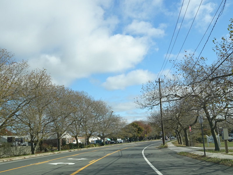
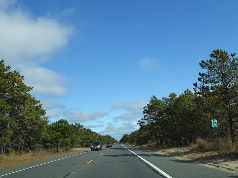
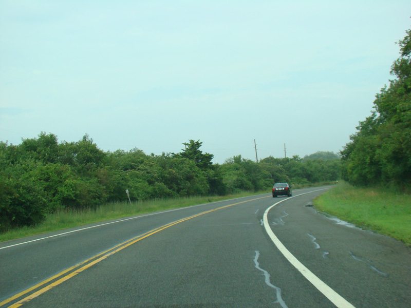
There is a cloverleaf interchange with Great Neck Road (CR 47).
Photos taken November 2016.
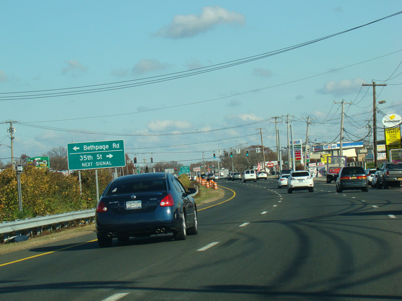
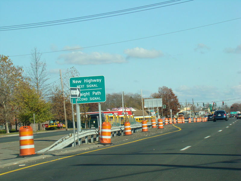
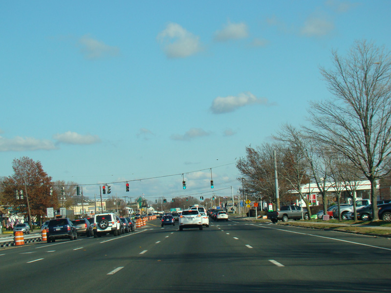
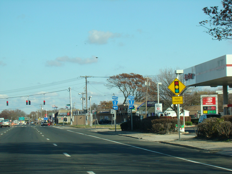
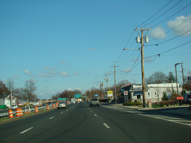
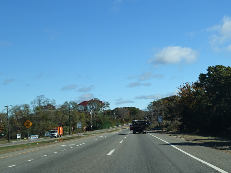
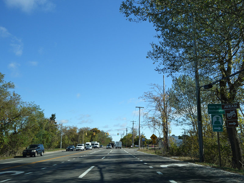
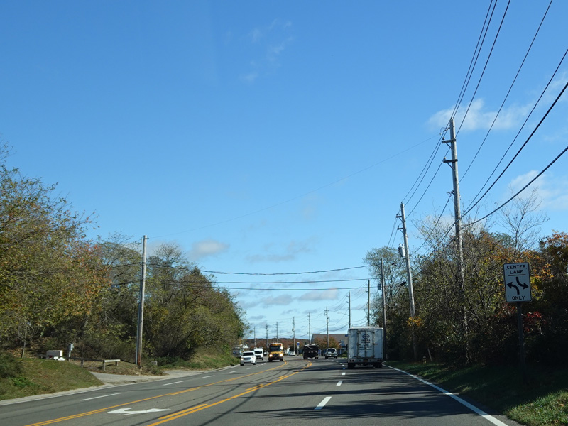
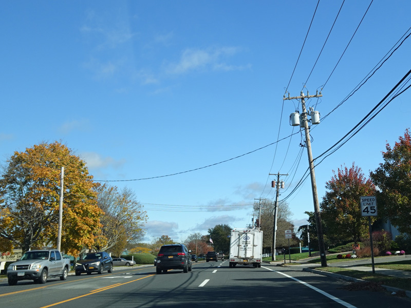
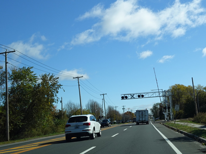
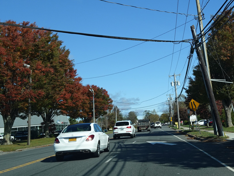
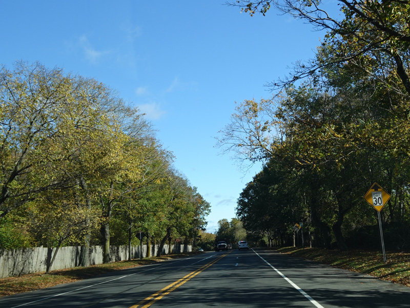
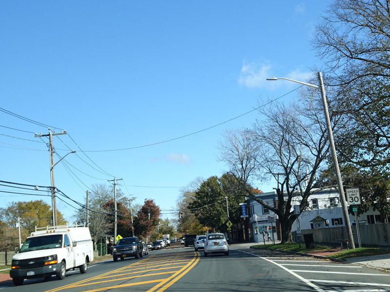
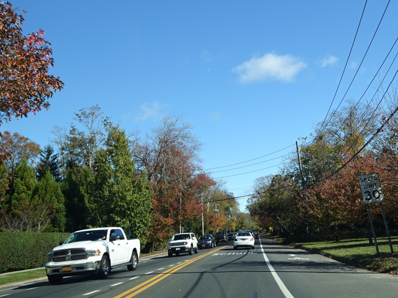
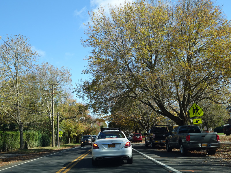
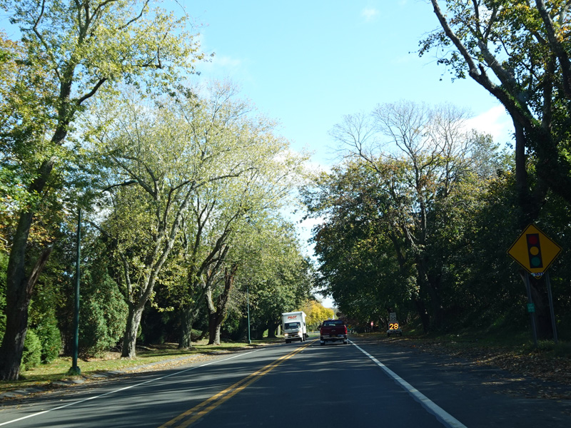
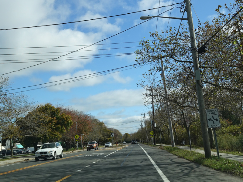
There are traffic lights at Bethpage Road, 35th Street, New Highway (CR 28), and Straight Path (CR 2). There is no signage giving the route number for CR 28, although CR 2 is signed.
Photos taken November 2016.
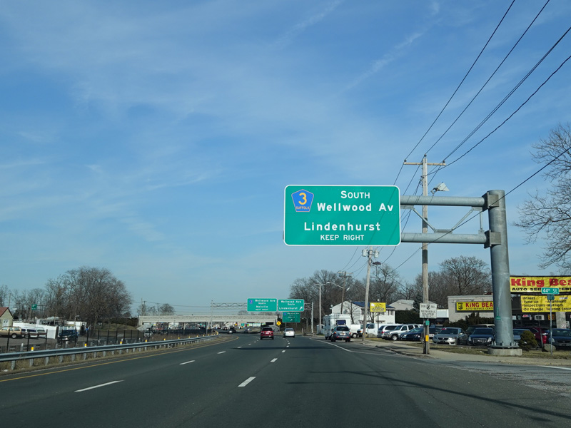
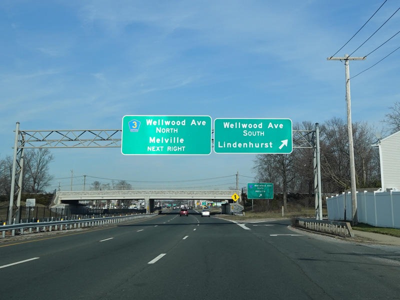
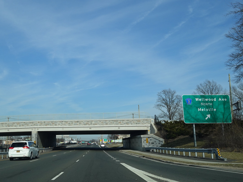
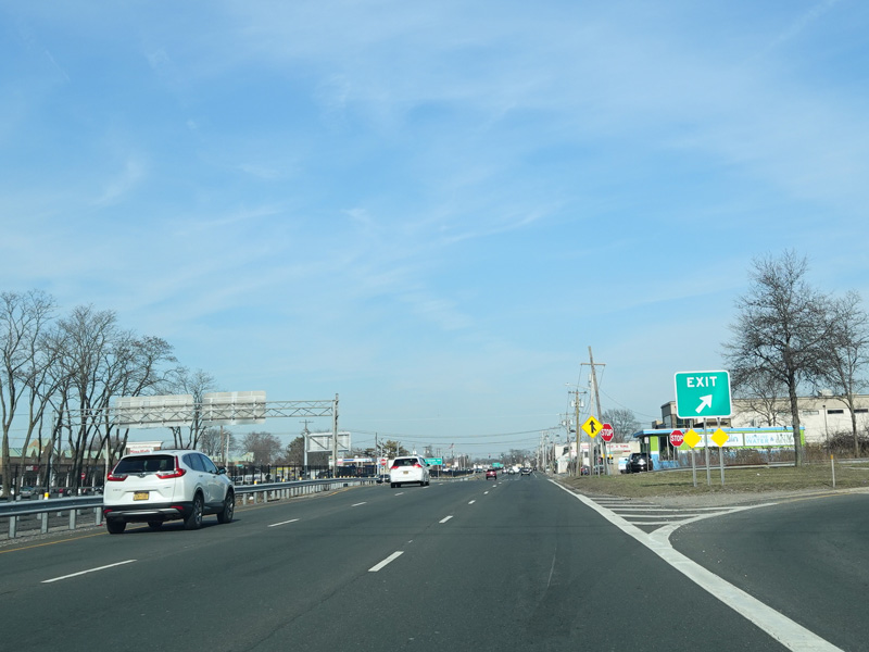
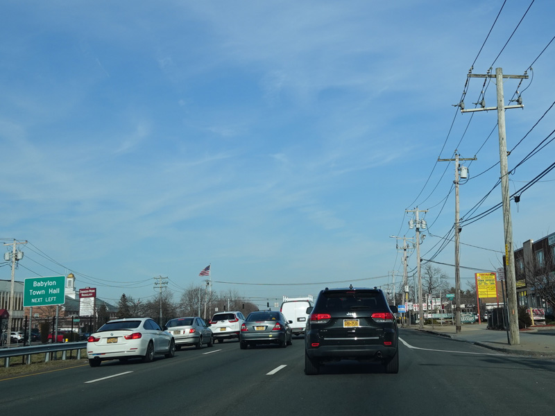
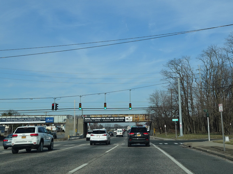
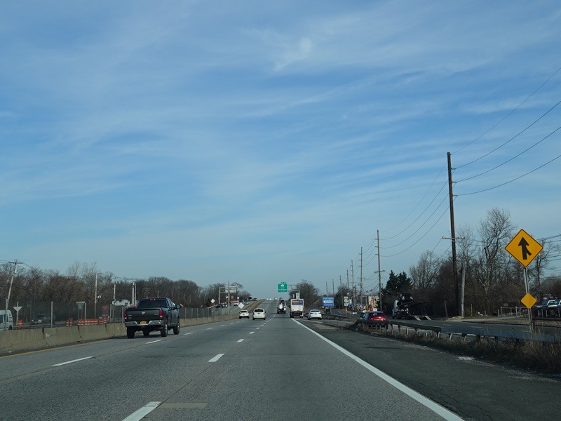
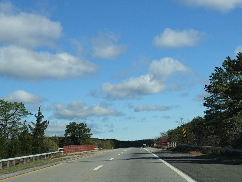
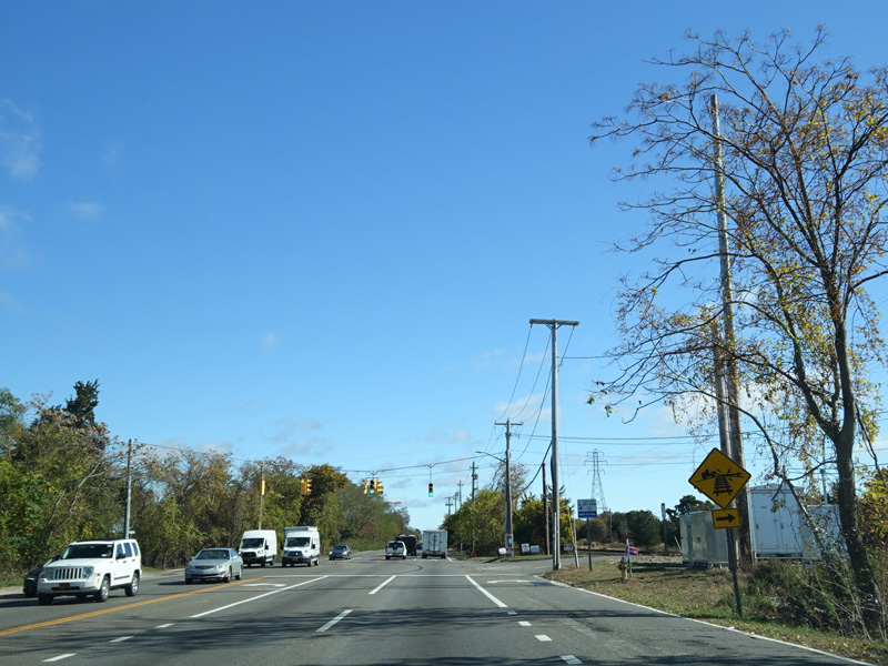
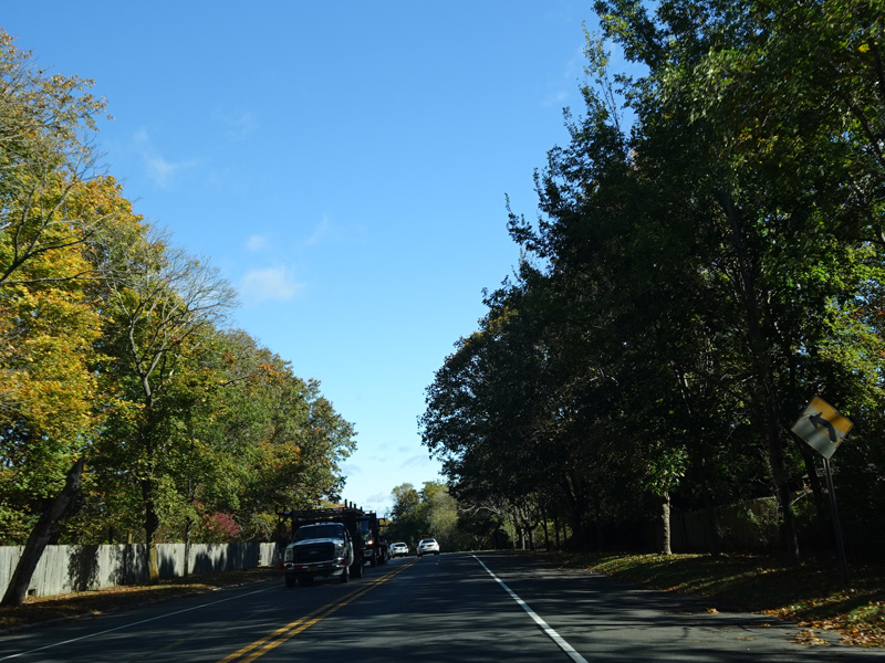
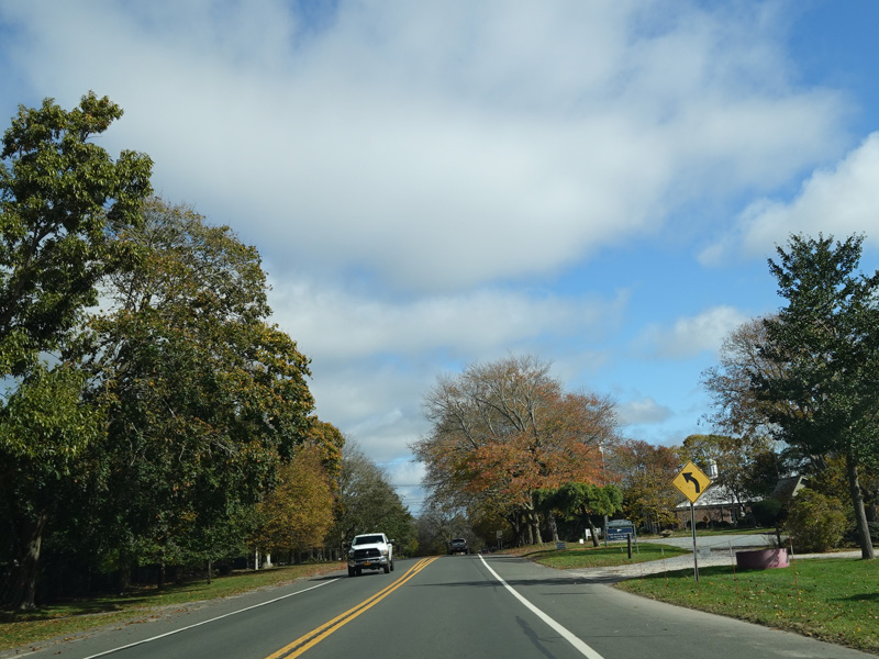
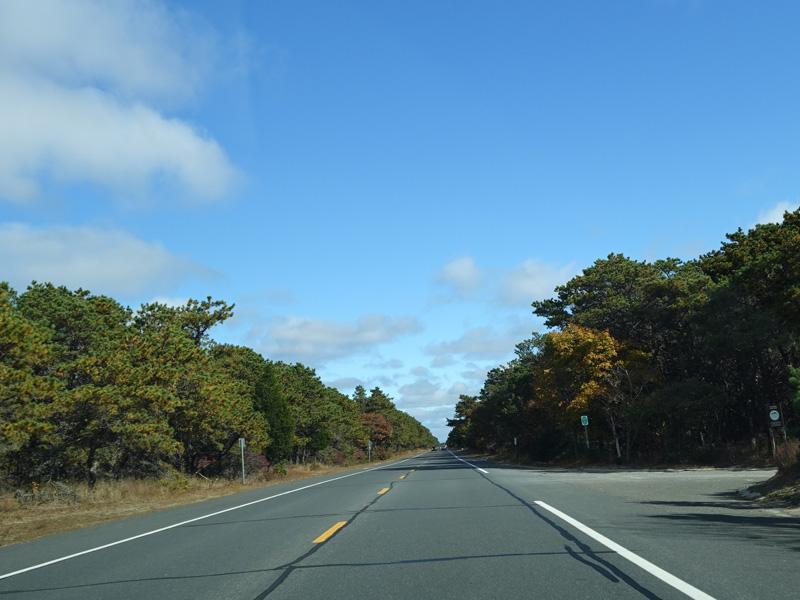
There is a cloverleaf interchange with Wellwood Avenue (CR 3). Then, Sunrise Highway goes back to looking like a surface road again, but not for long...
Photos taken February 2020.
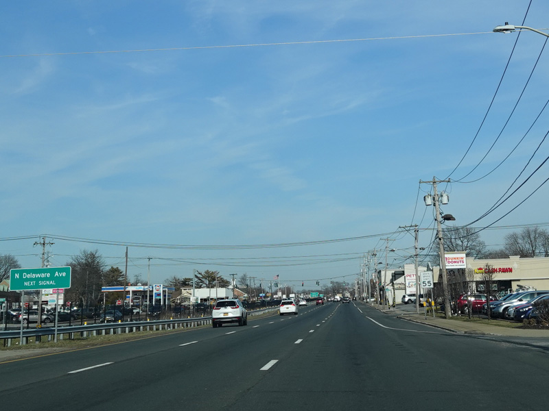
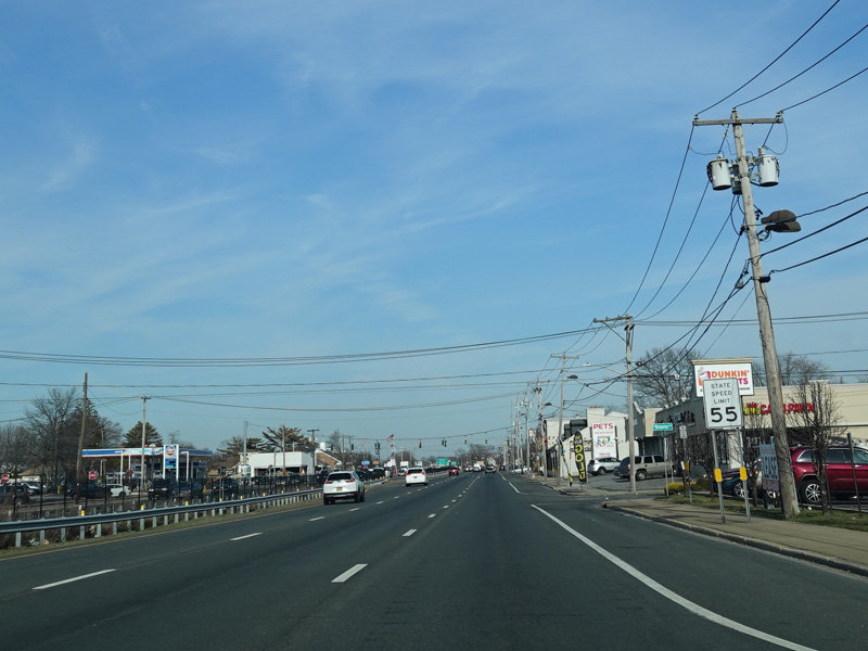
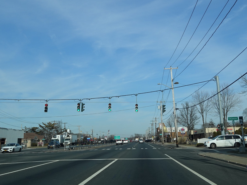
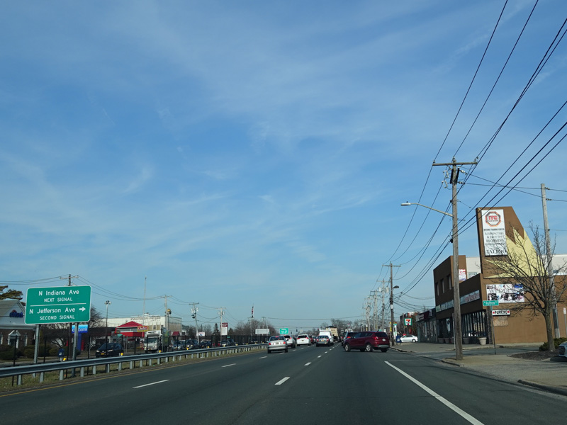
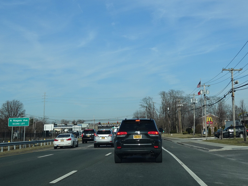
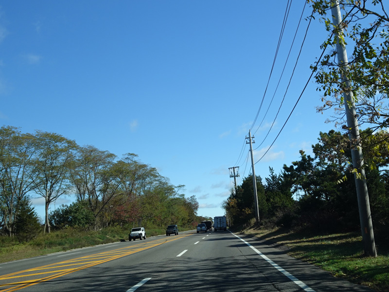
There are traffic lights at North Delaware Avenue, North Indiana Avenue, North Jefferson Avenue, and North Niagara Avenue.
Photos taken February 2020.
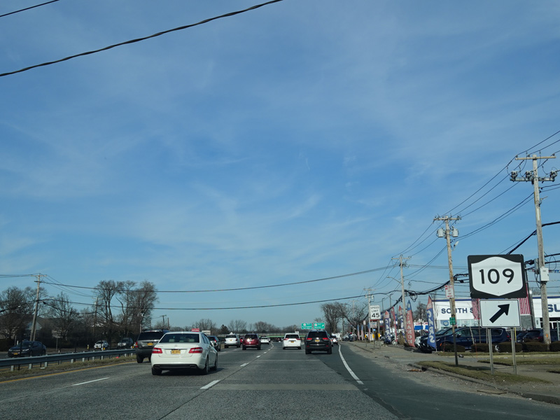
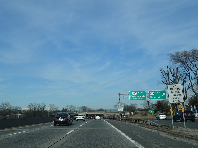
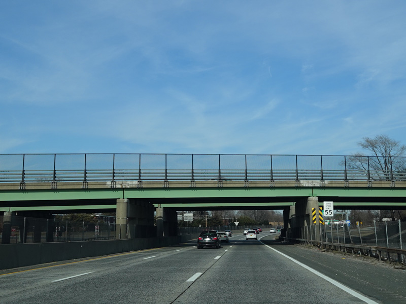
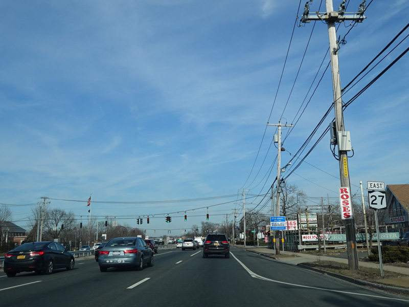
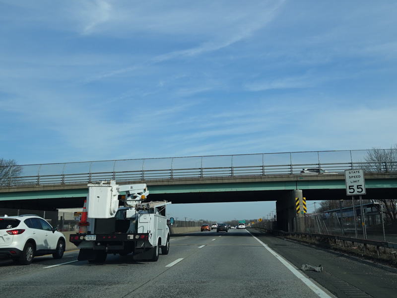
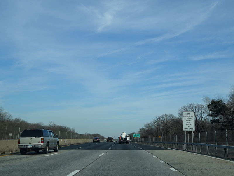
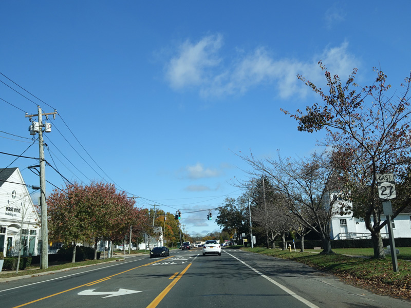
Welcome to Sunrise Highway, the expressway! To access Babylon-Farmingdale Road (NY 109), which is exit 37 when coming from the other direction, bear right onto the service road.
Photos taken February 2020.
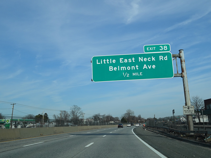
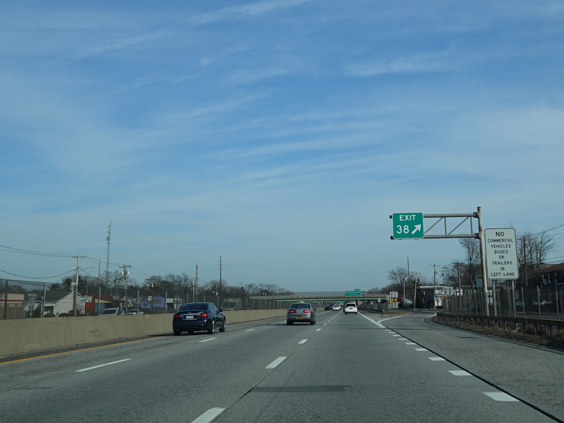
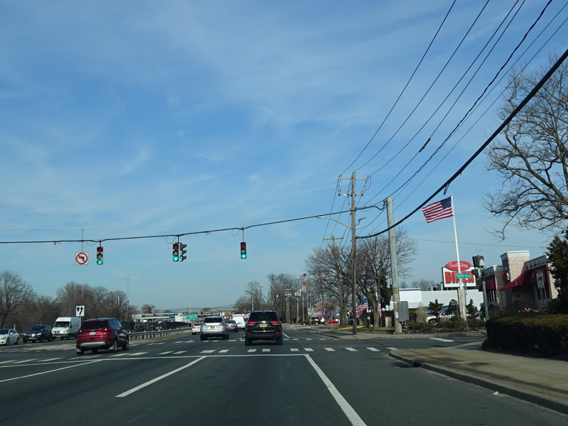
Exit 38 is for Little East Neck Road and Belmont Avenue.
Photos taken February 2020.
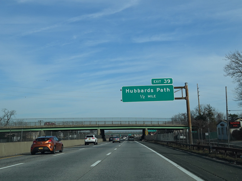
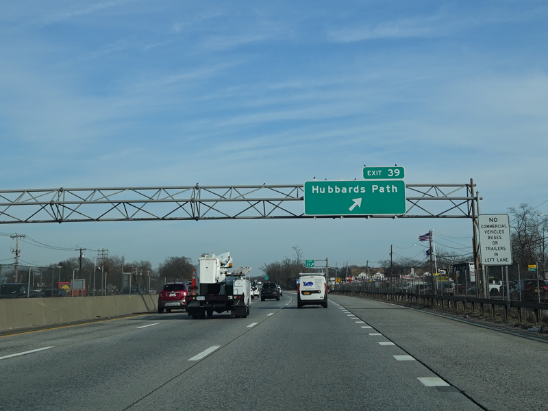
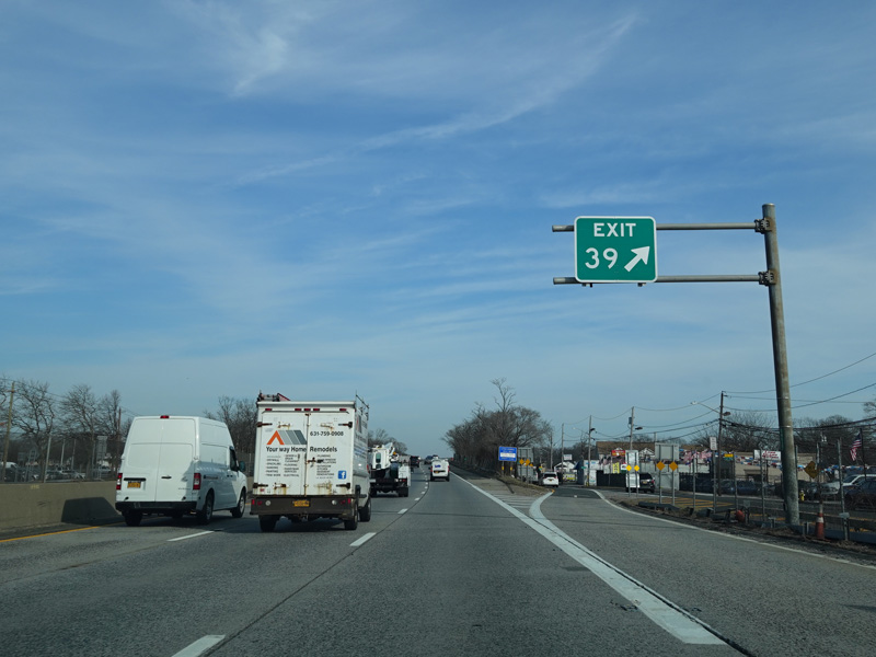
Exit 39 is for Hubbards Path.
Photos taken February 2020.
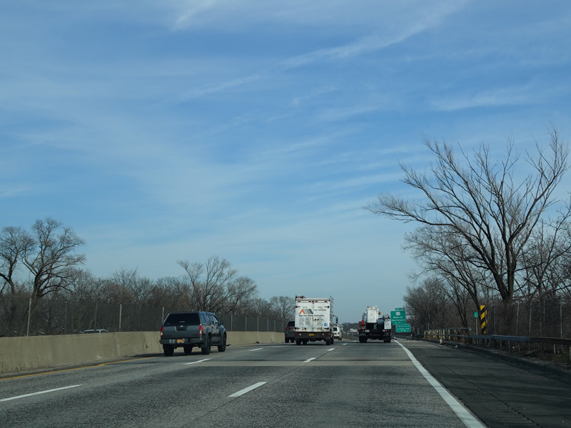
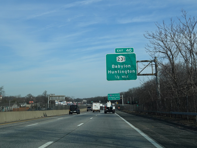
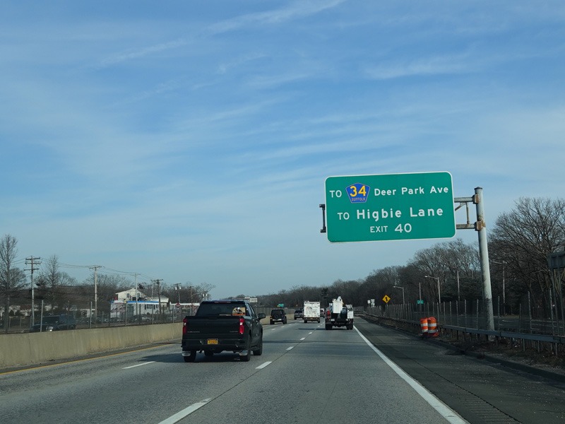
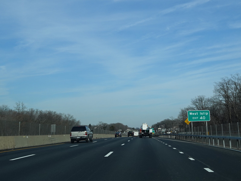
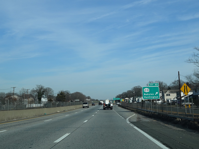
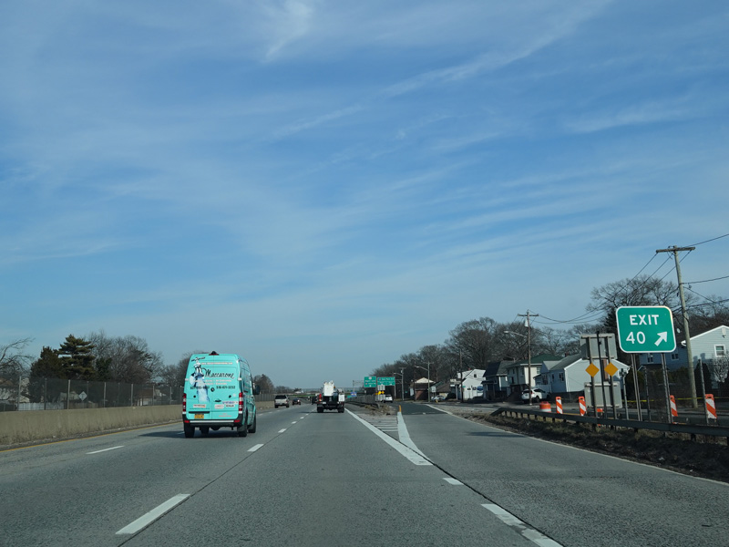
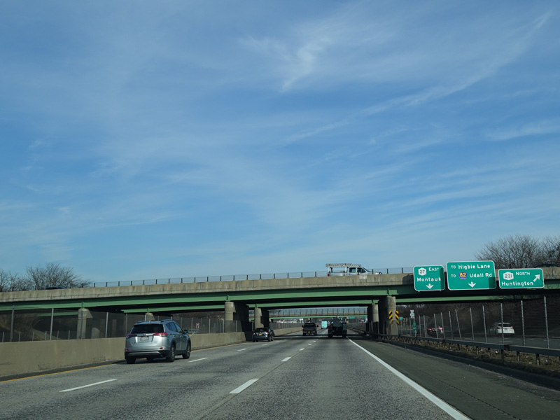
Exit 40 is for the Babylon-Northport Expressway (NY 231). It also provides access to Deer Park Avenue (CR 34) and Higbie Lane.
Photos taken February 2020.
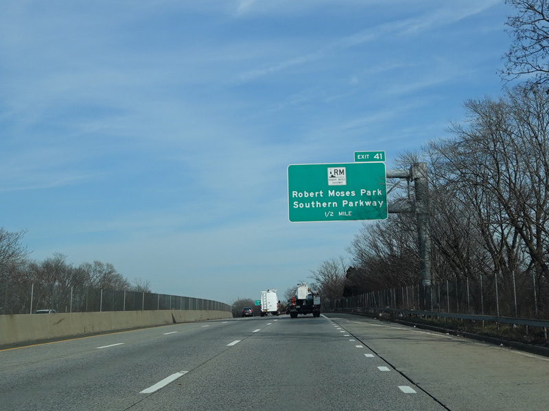
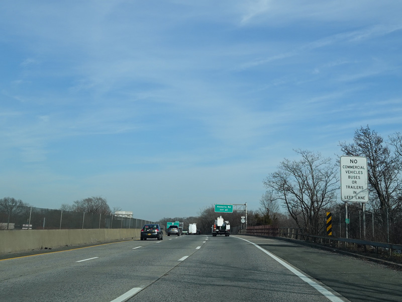
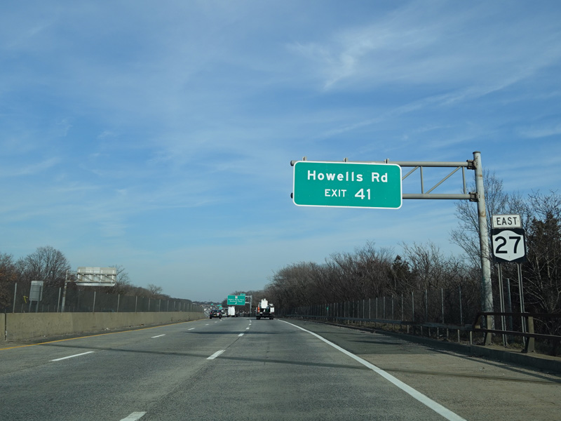
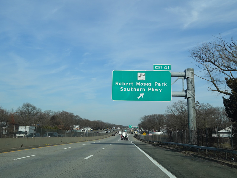
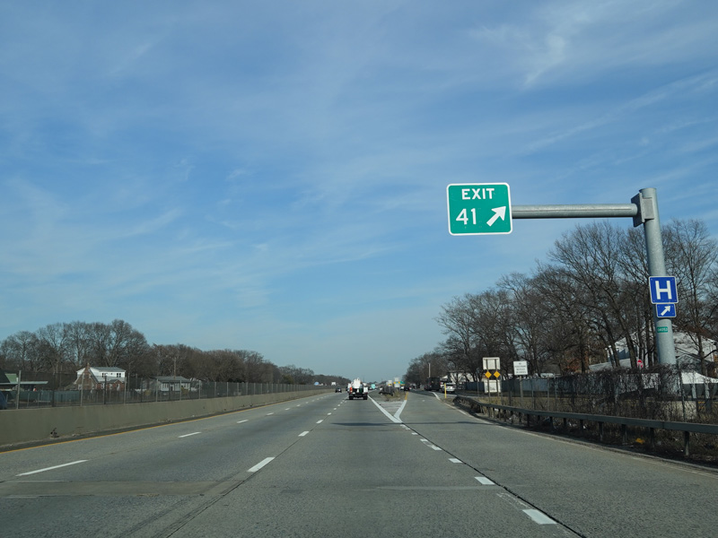
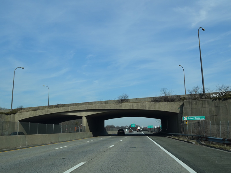
Exit 41 is for the Robert Moses Causeway. It also provides access to Howells Road (CR 57).
Photos taken February 2020.
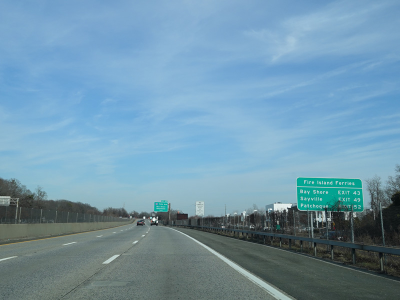
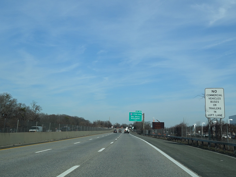
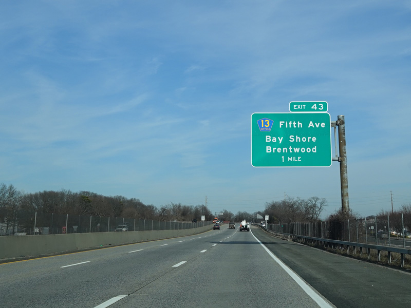
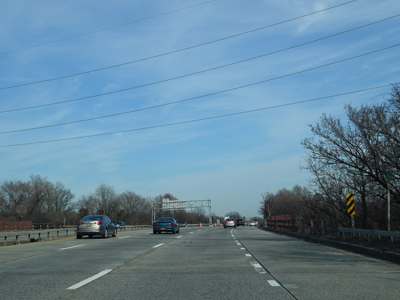
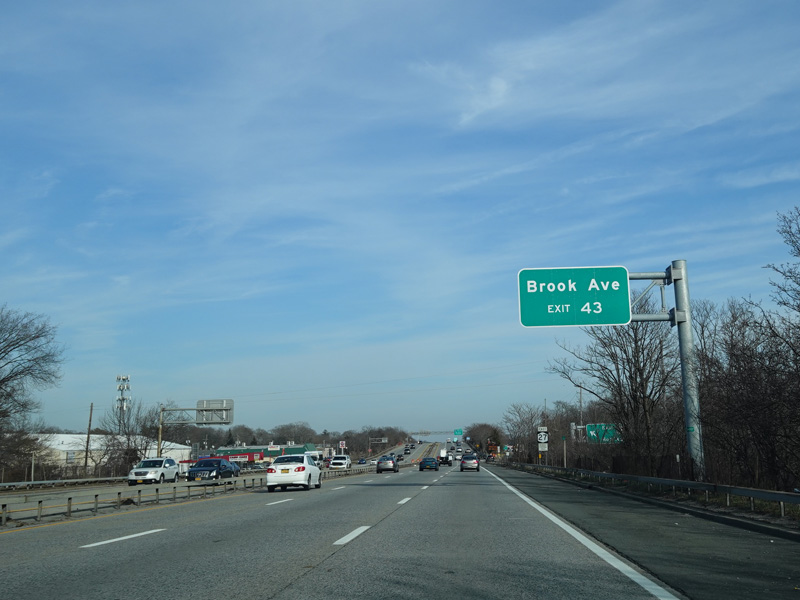
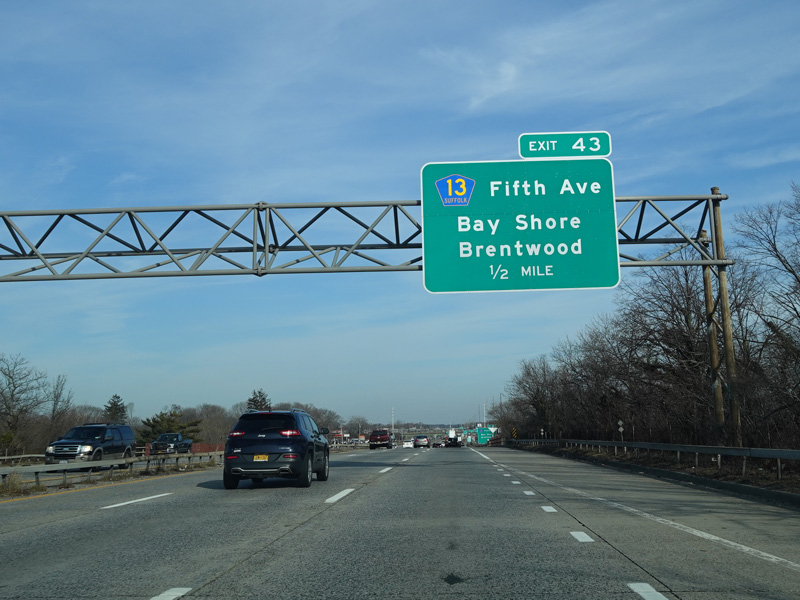
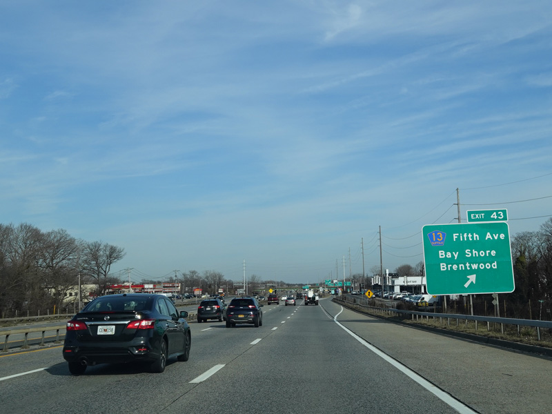
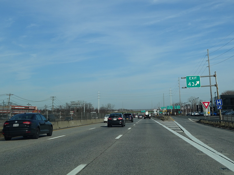
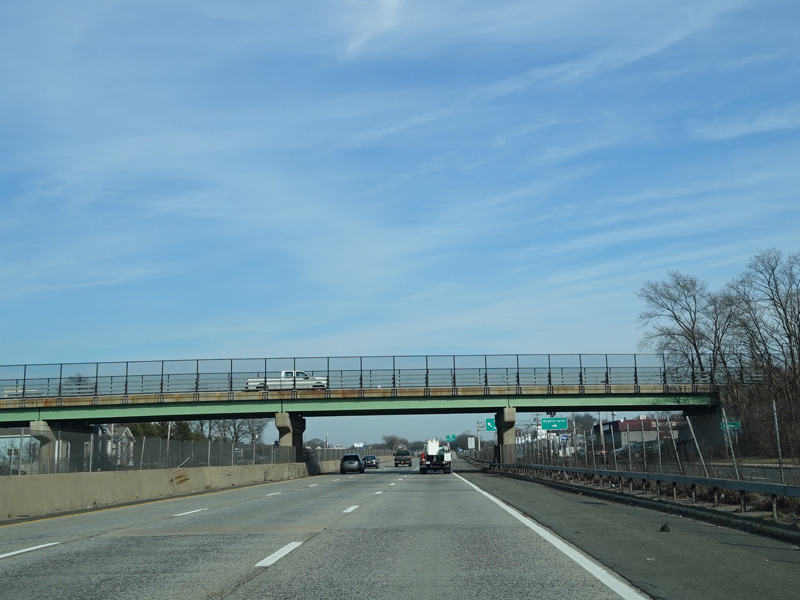
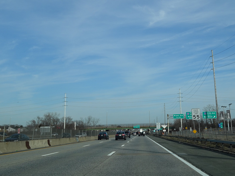
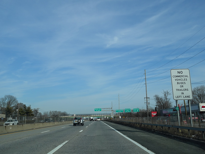
Exit 43 is for Fifth Avenue (CR 13). It also provides access to Brook Avenue.
Photos taken February 2020.
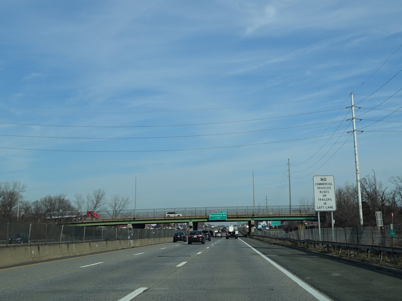
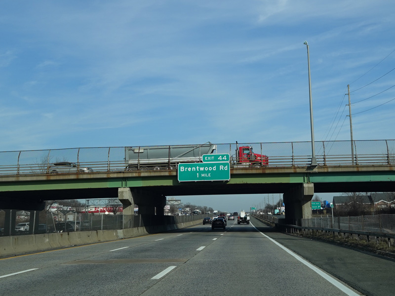
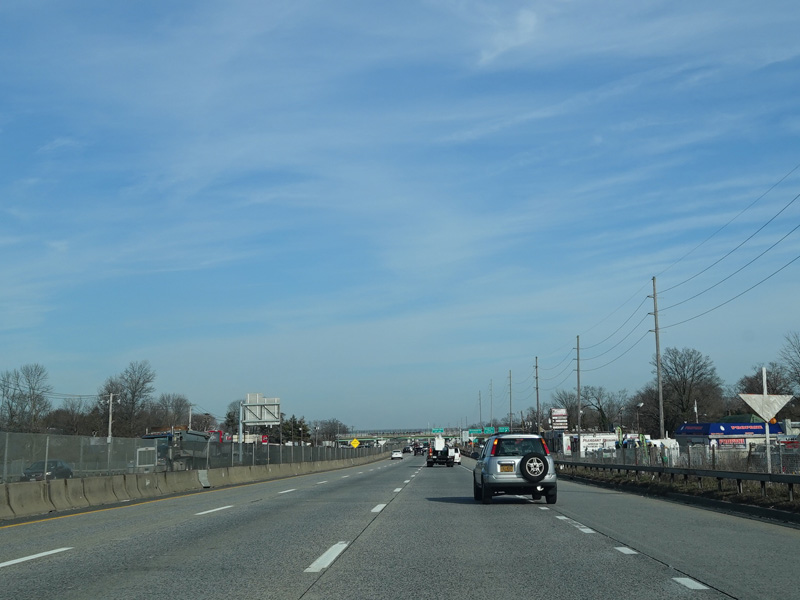
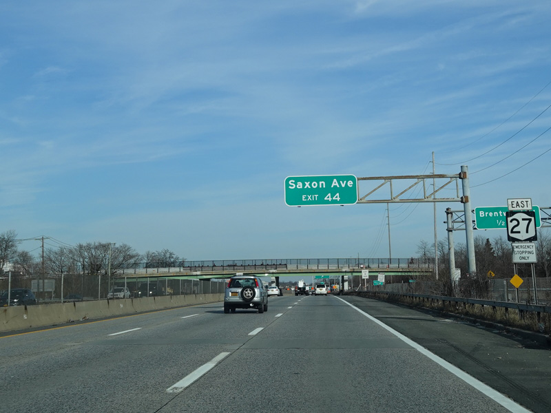
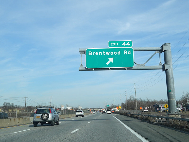
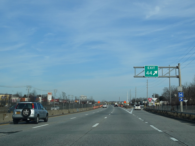
Exit 44 is for Brentwood Road. It also provides access to Saxon Avenue.
Photos taken February 2020.
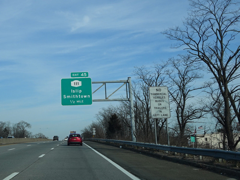
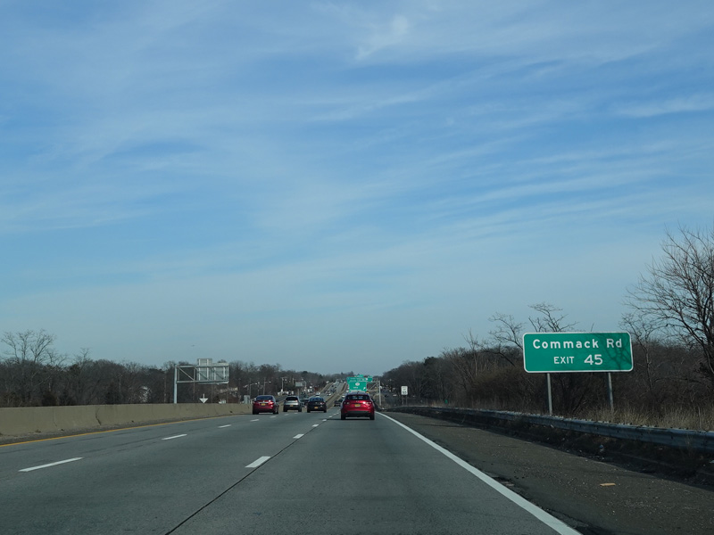
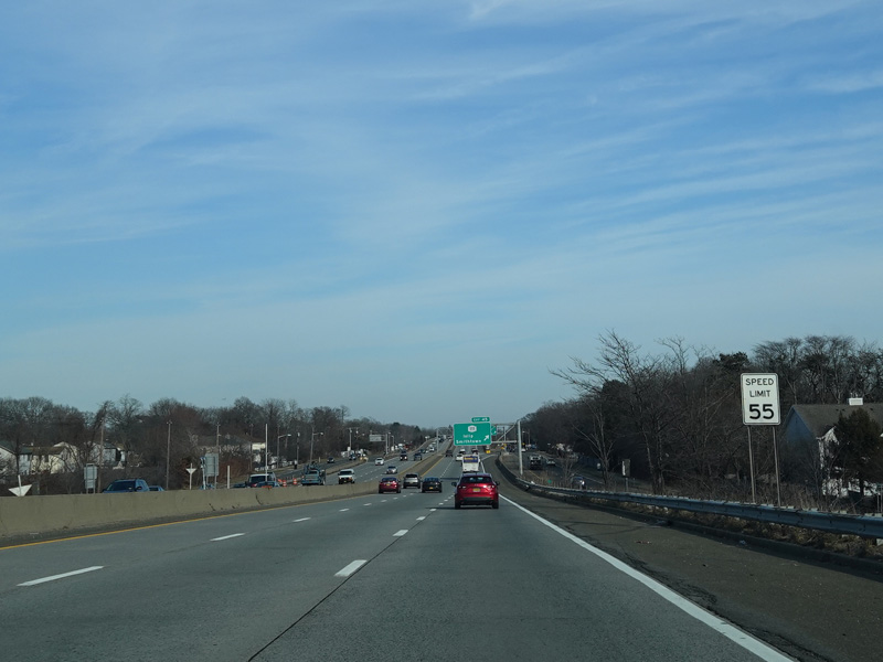
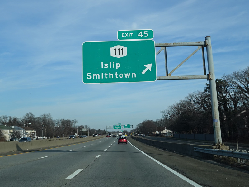
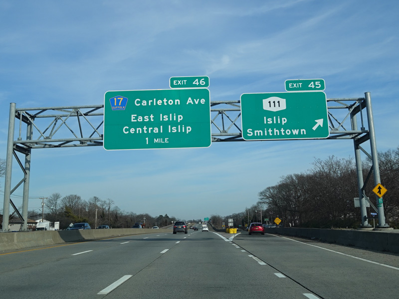
Exit 45 is for Islip Avenue (NY 111). It also provides access to Commack Road.
Photos taken February 2020.
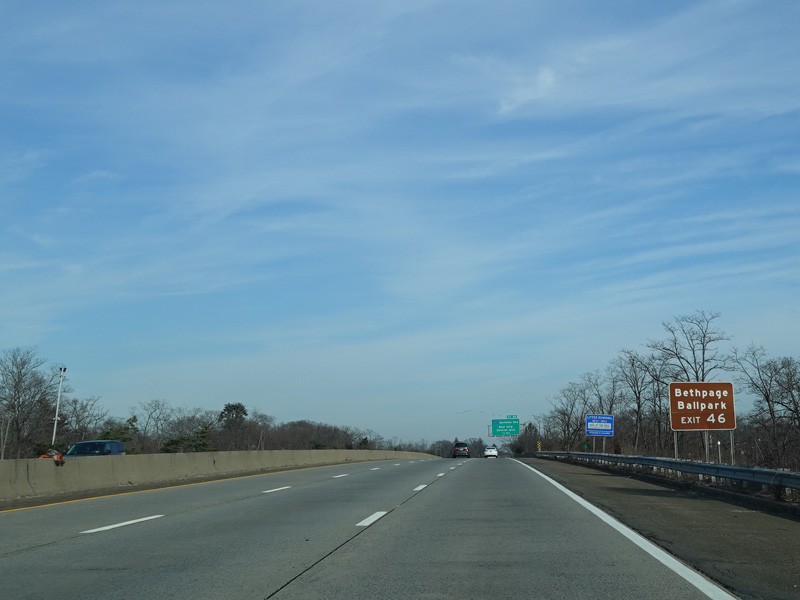
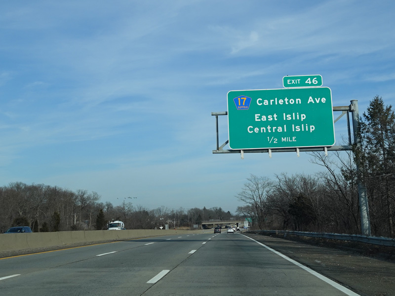
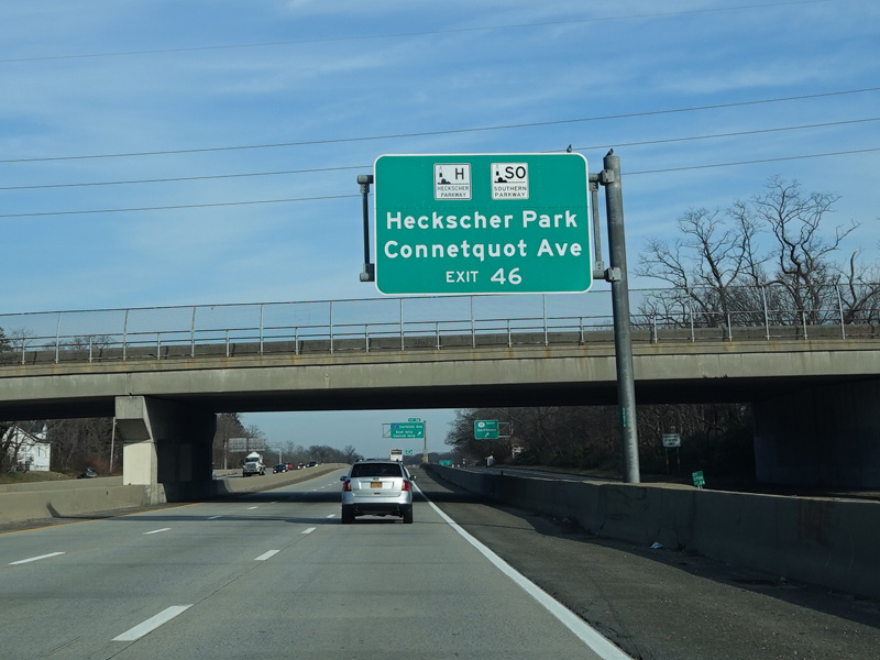
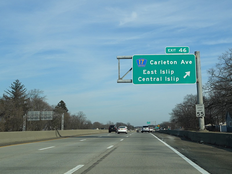
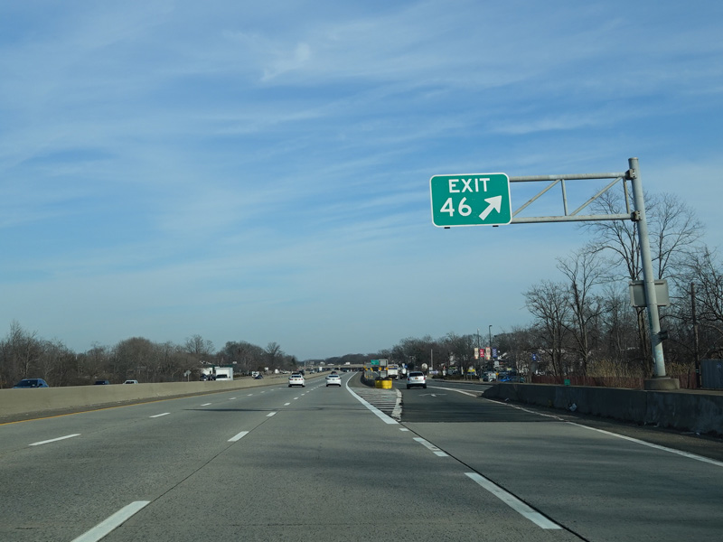
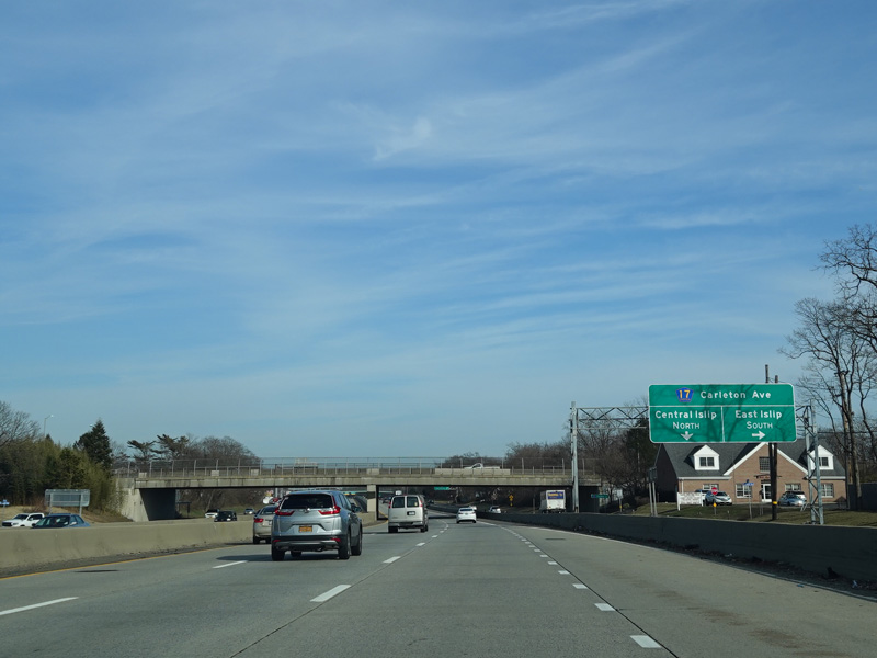
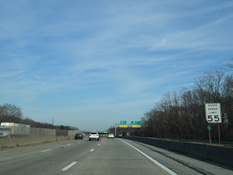
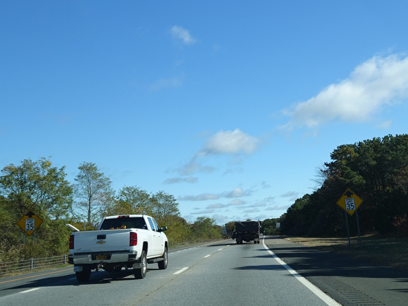
Exit 46 is for Carleton Avenue (CR 17). It also provides access to the Southern Parkway and Connetquot Avenue.
Photos taken February 2020.
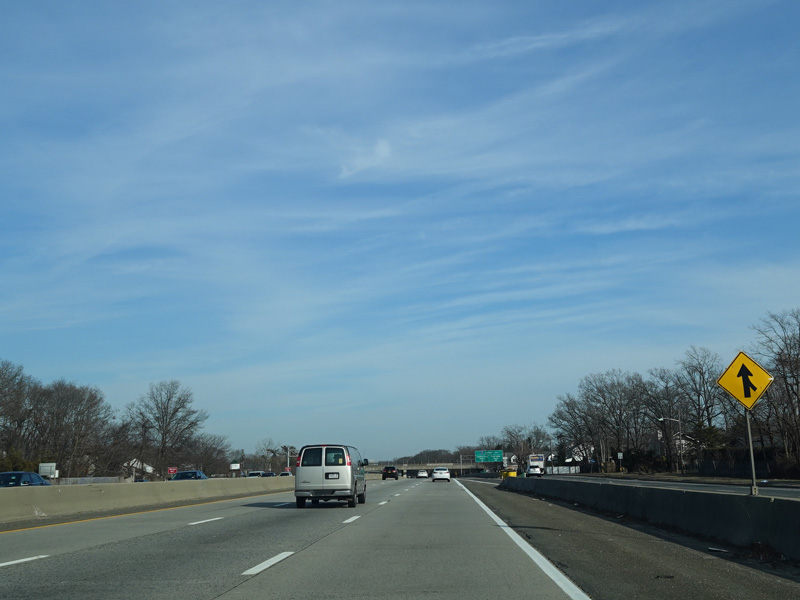
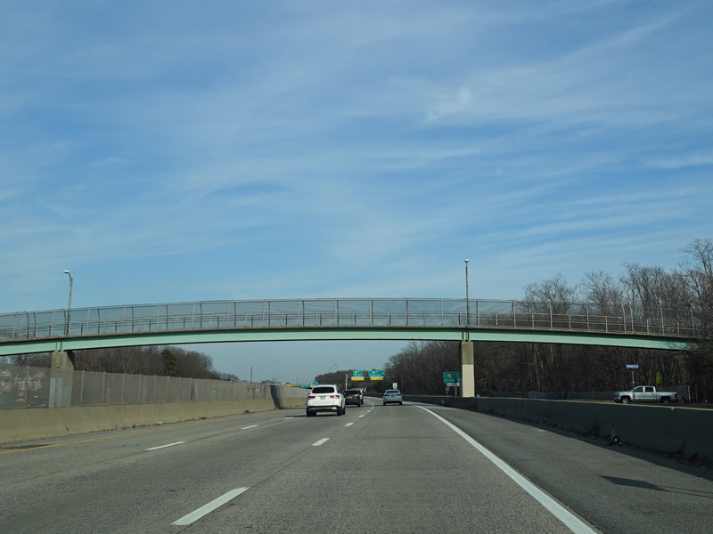
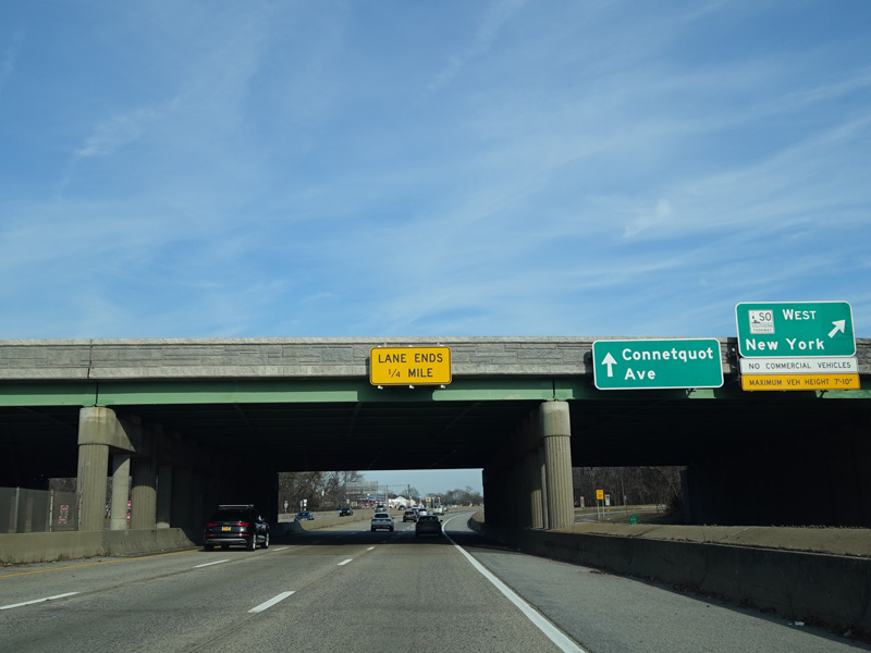
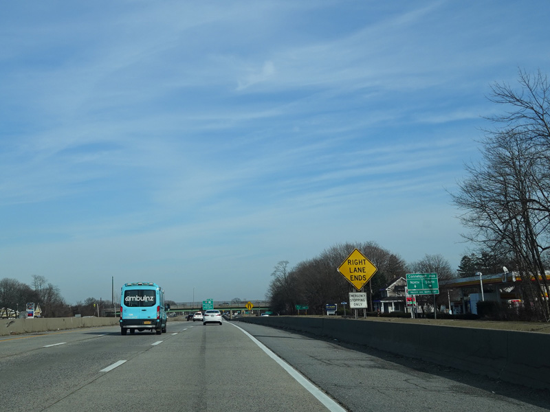
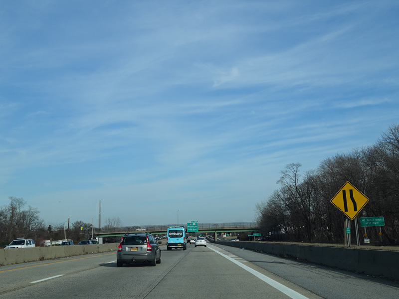
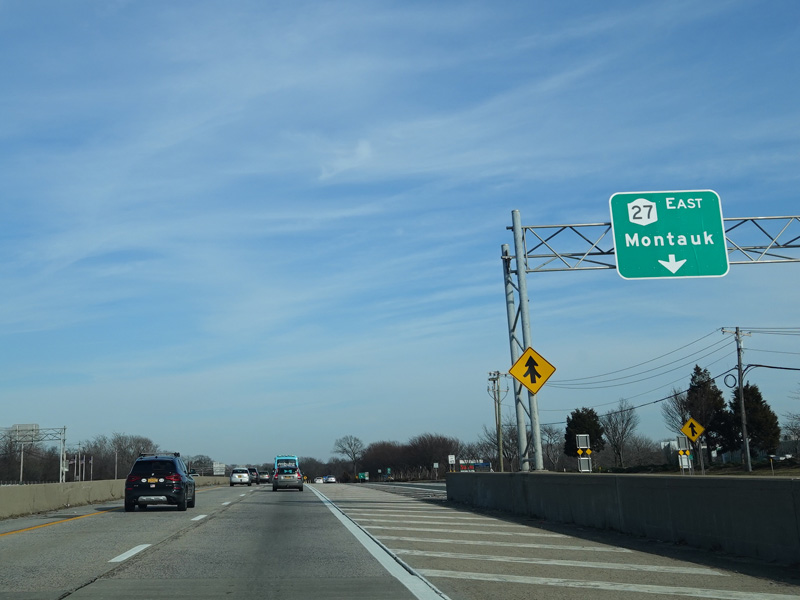
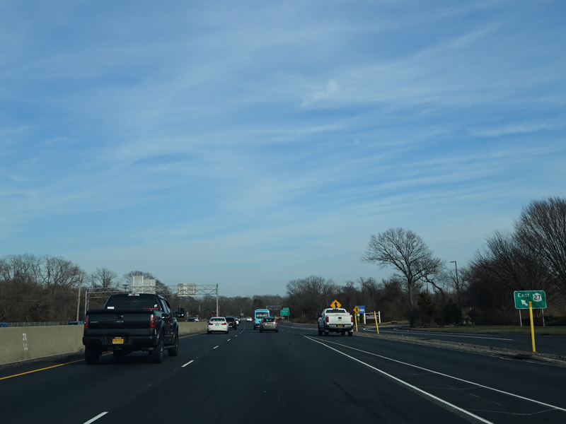
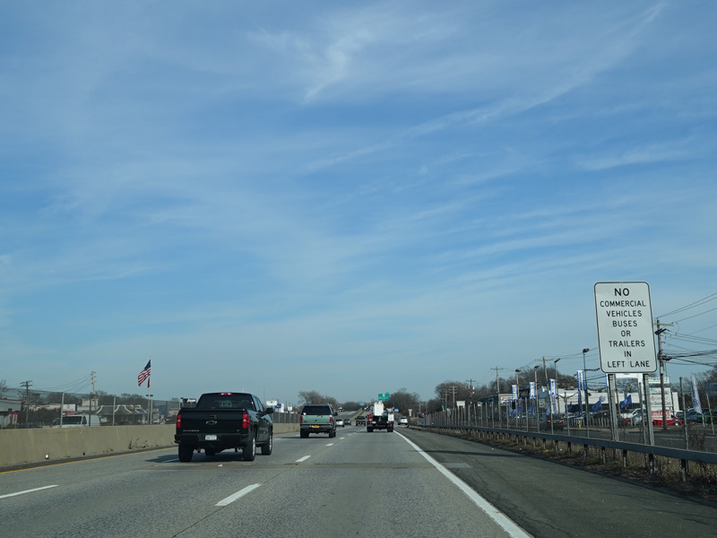
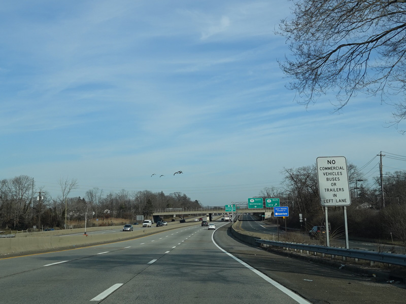
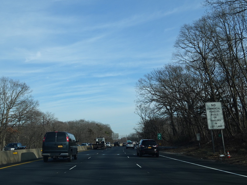
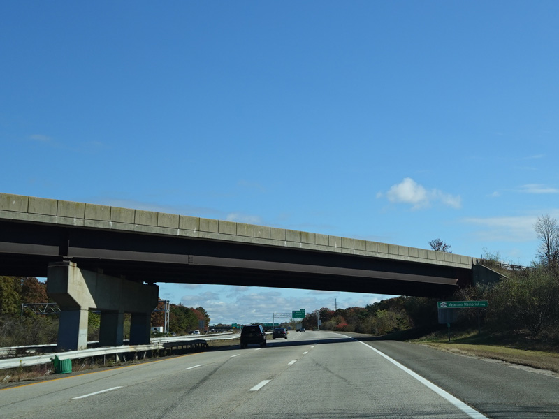
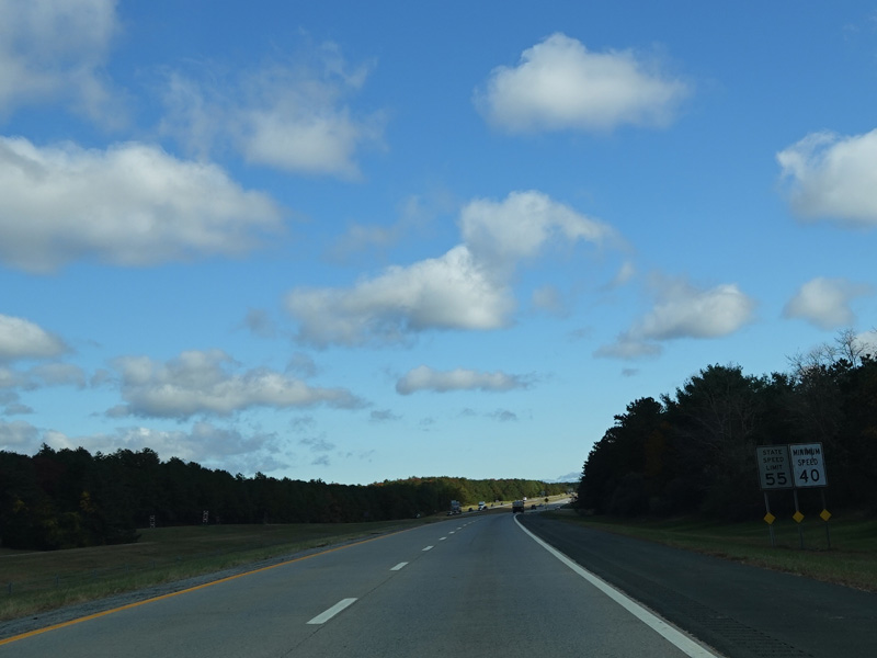
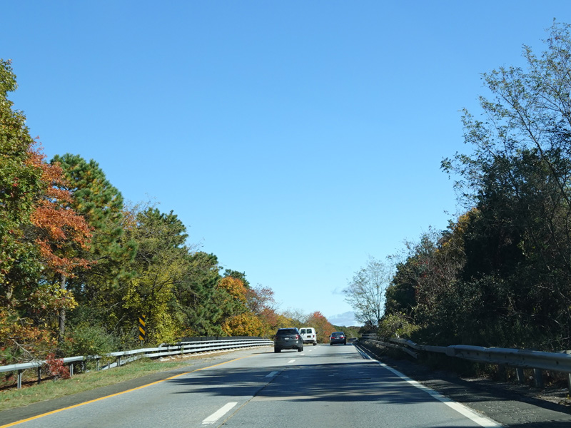
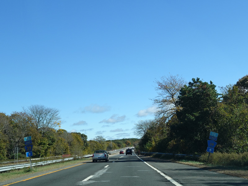
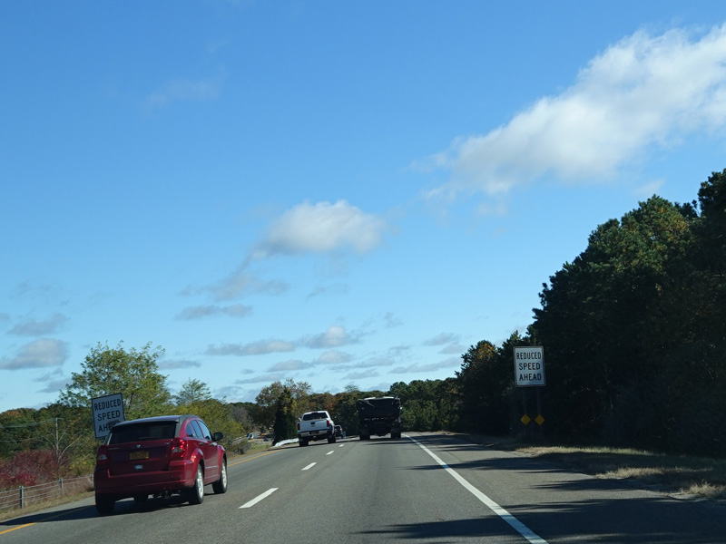
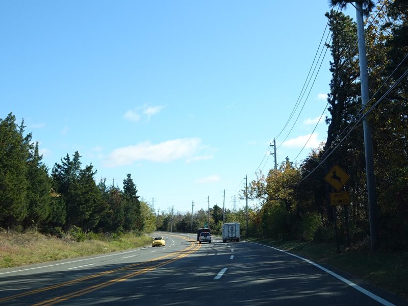
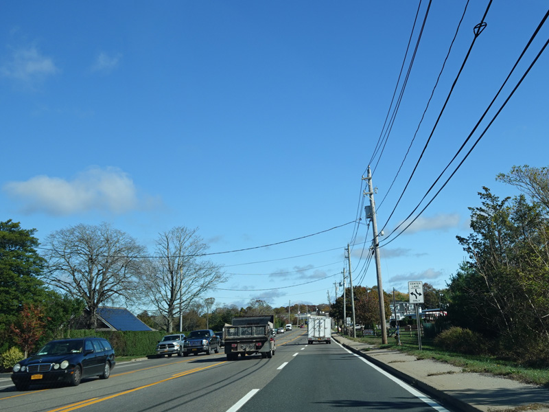
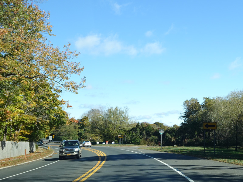
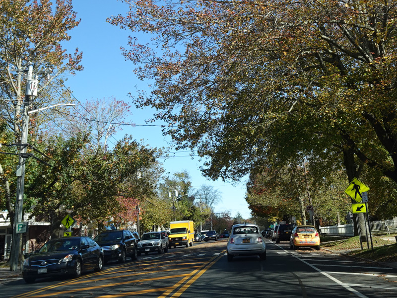
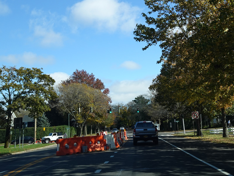
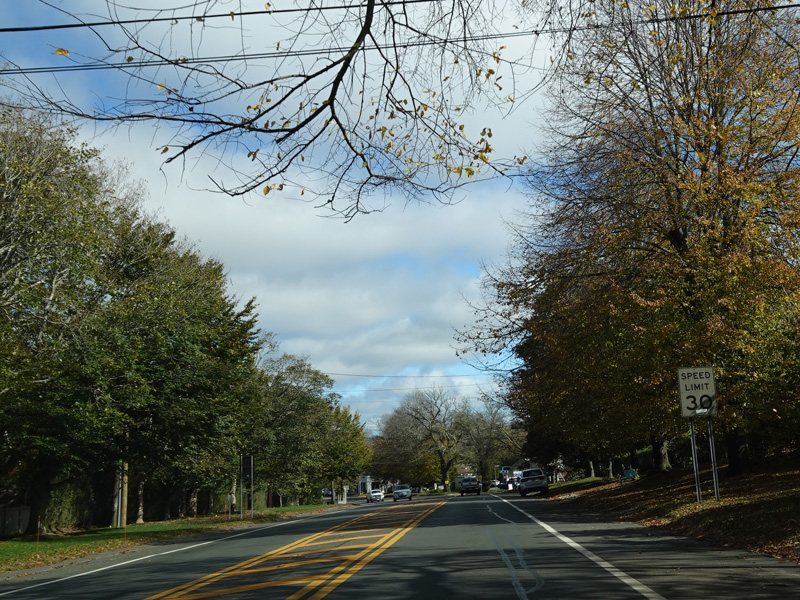
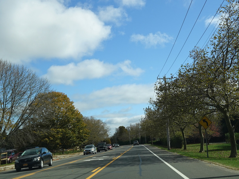
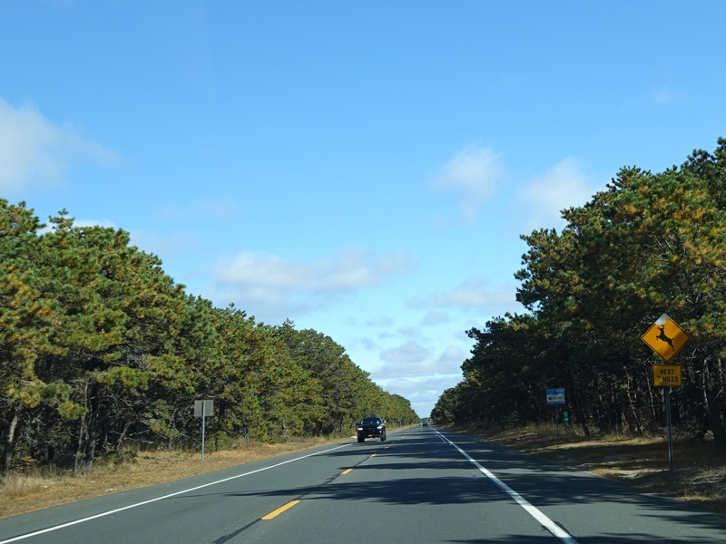
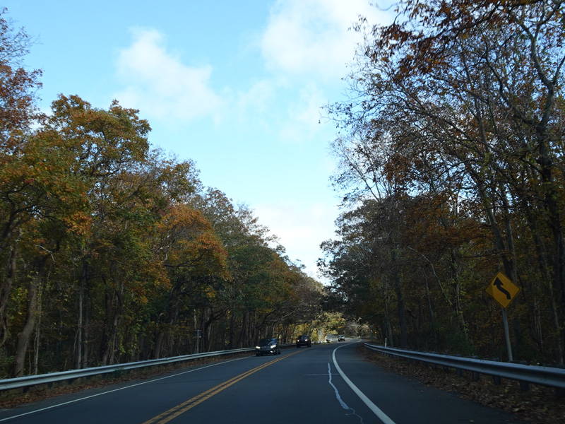
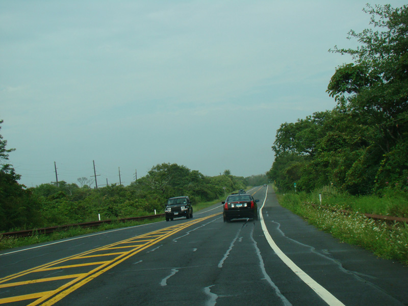
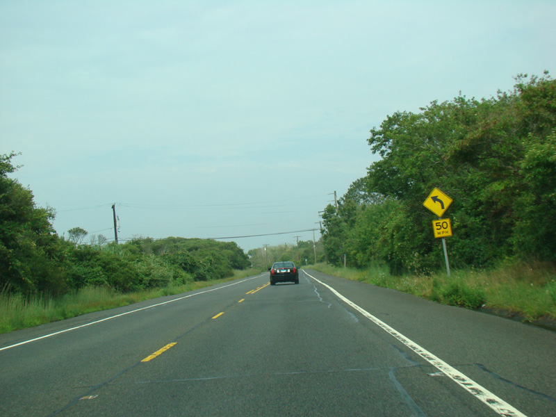
Sunrise Highway narrows down to two lanes in this direction as a lane merges in from the Southern Parkway.
Photos taken February 2020.
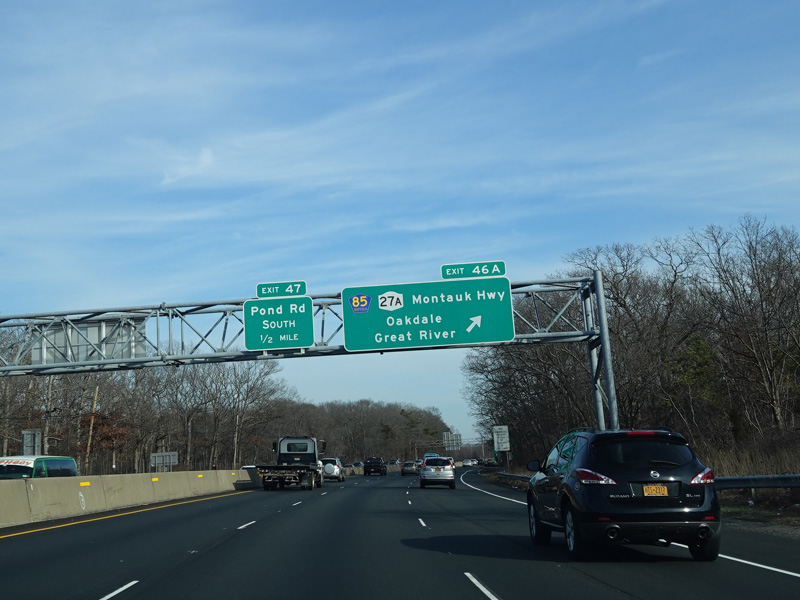
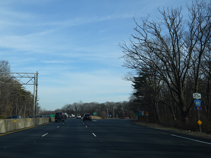
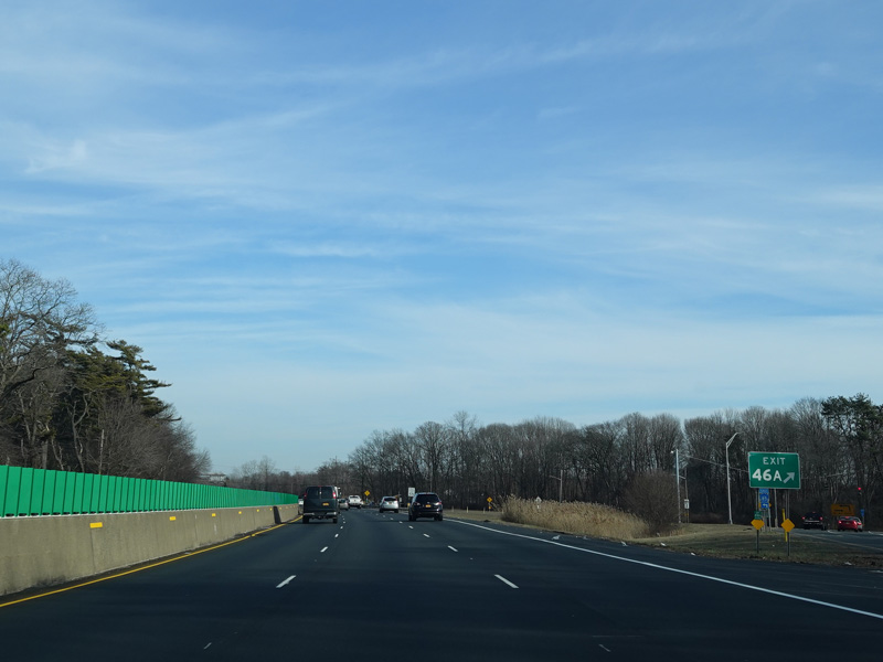
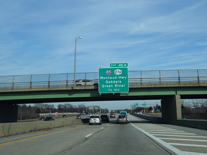
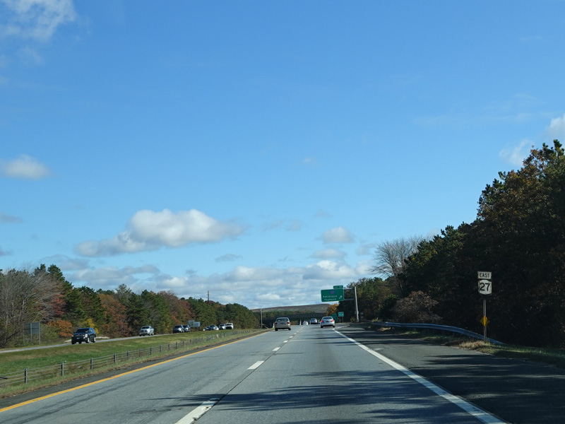
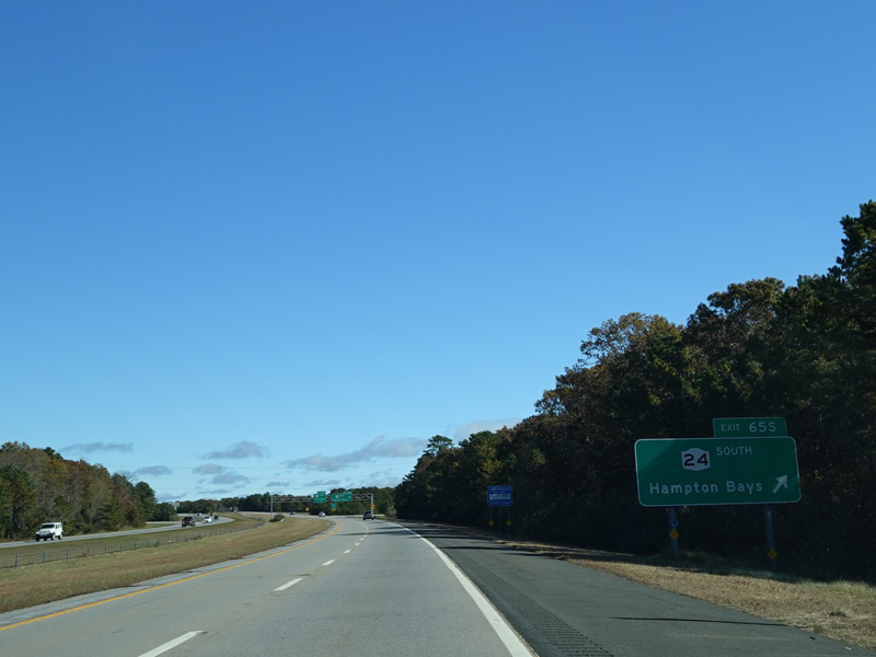
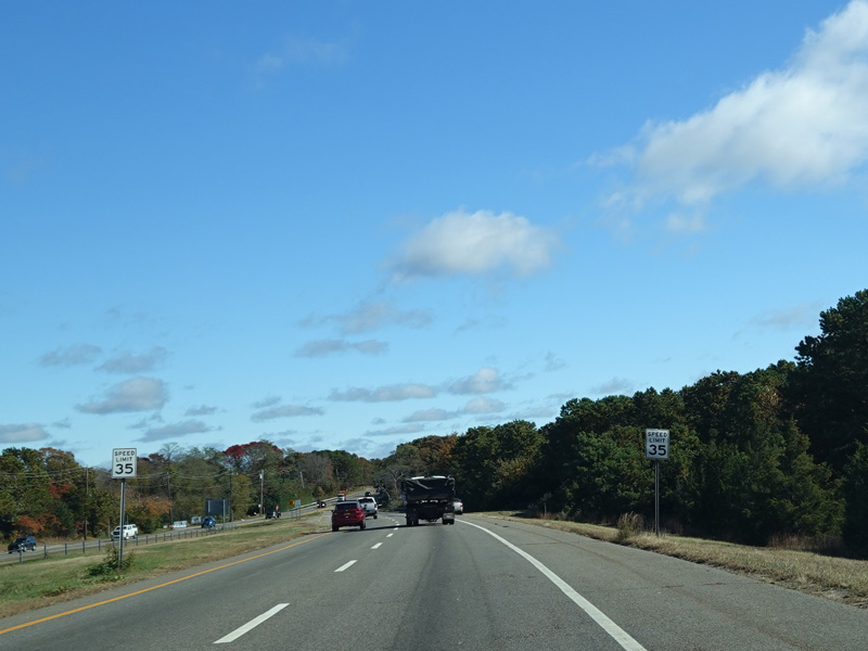
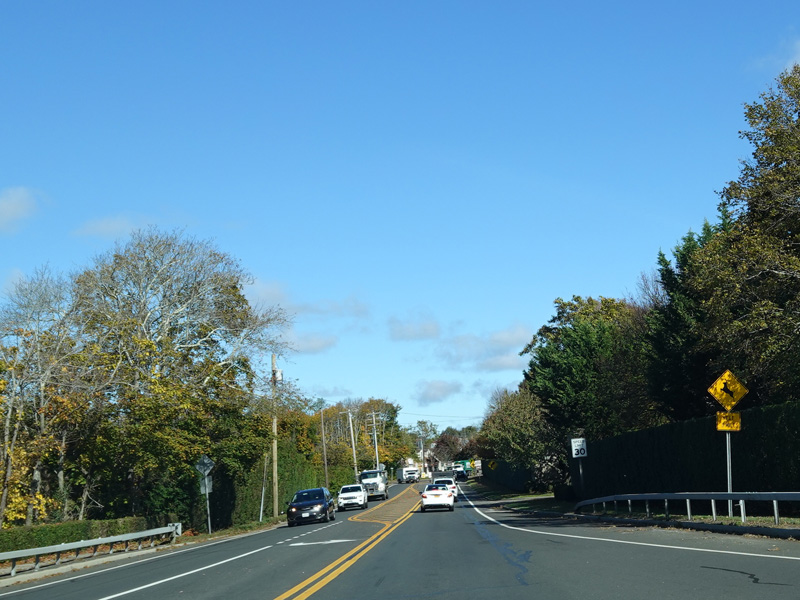
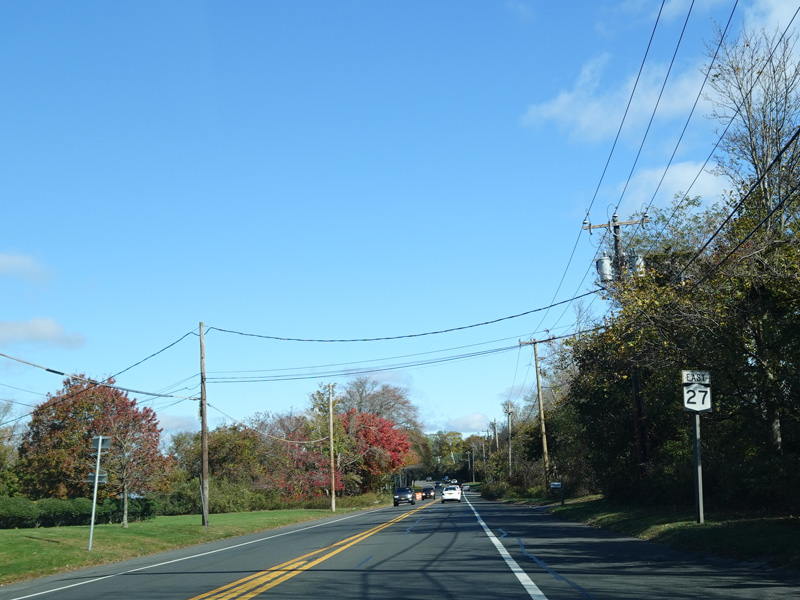
Exit 46A is for Montauk Highway (NY 27A/CR 85).
Photos taken February 2020.
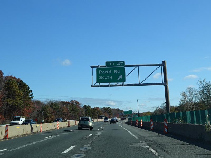

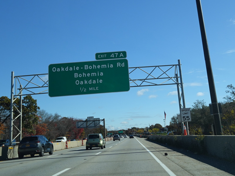
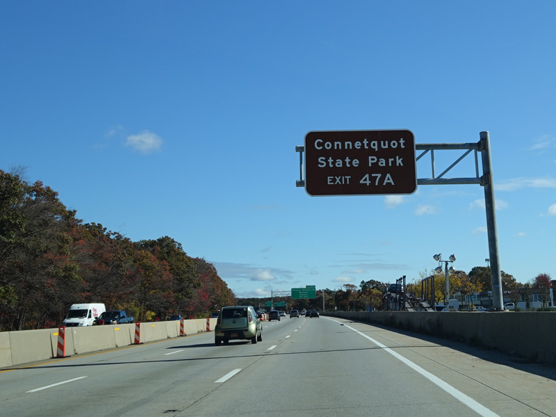

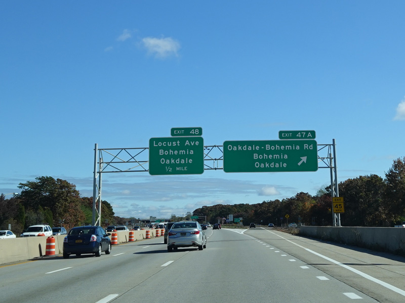
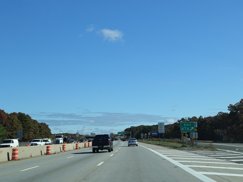
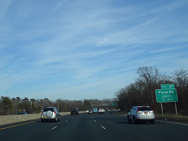
Exit 47 is for Pond Road south. Exit 47A is for Oakdale-Bohemia Road. To access Connetquot State Park, it is necessary to get off at exit 47A and then get back on going in the other direction to use an unnumbered exit that only exists when travelling west.
Photos taken October 2019.
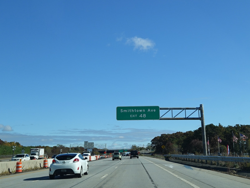
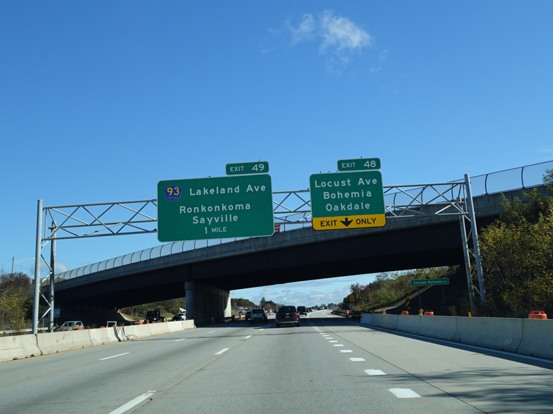
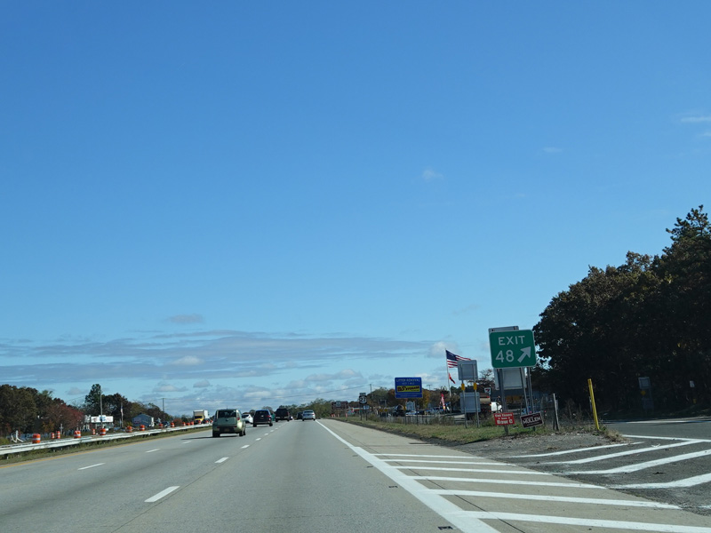
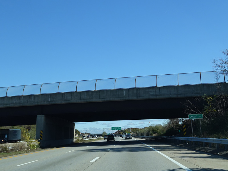
Exit 48 is for Locust Avenue. It also provides access to Smithtown Avenue.
Photos taken October 2019.
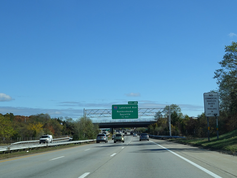
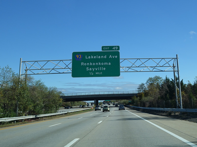
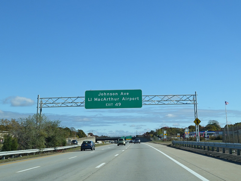
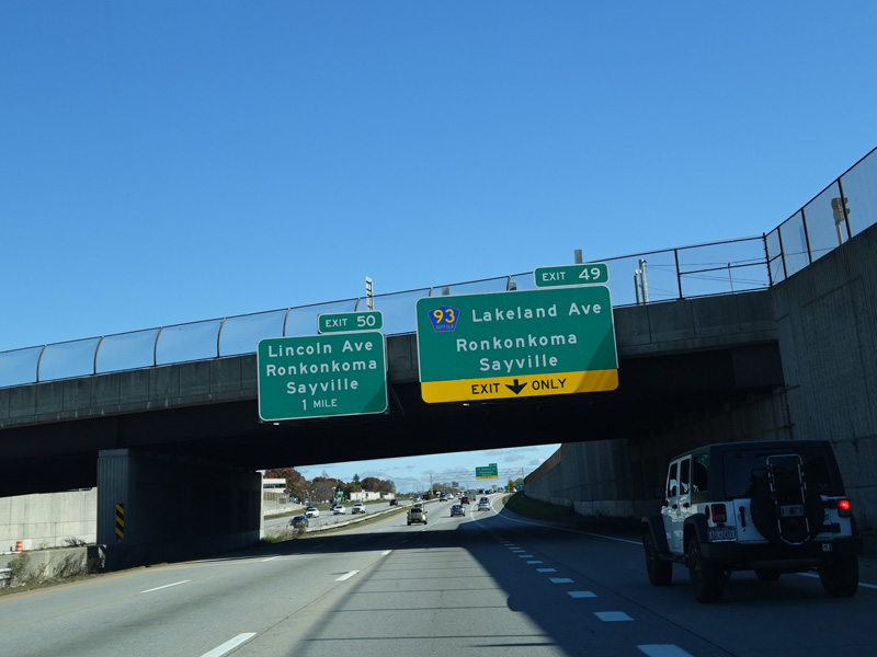
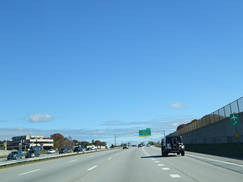
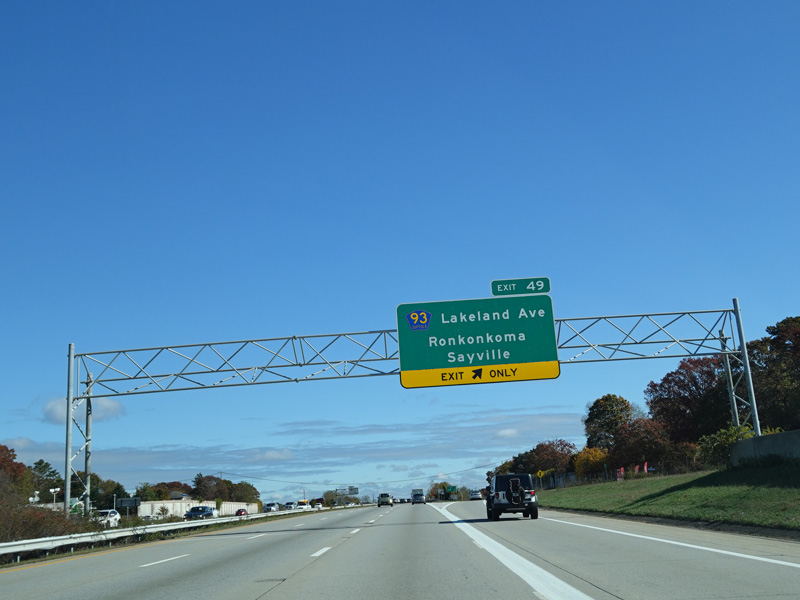
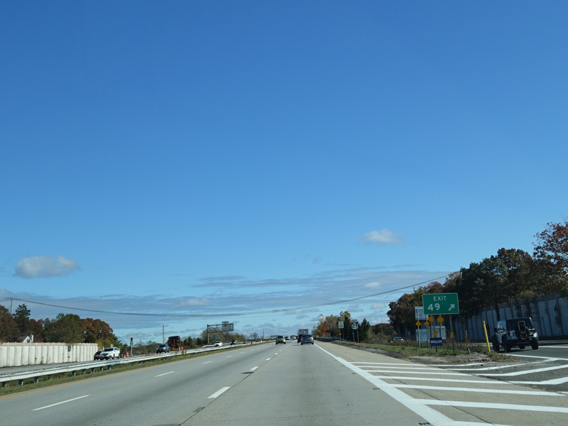
Exit 49 is for Lakeland Avenue (CR 93). It also provides access to Johnson Avenue (CR 112).
Photos taken October 2019.
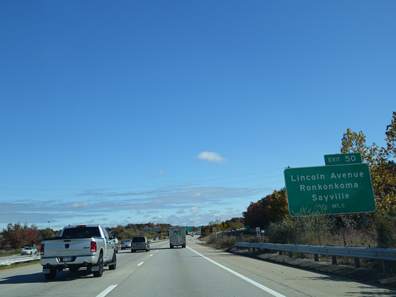
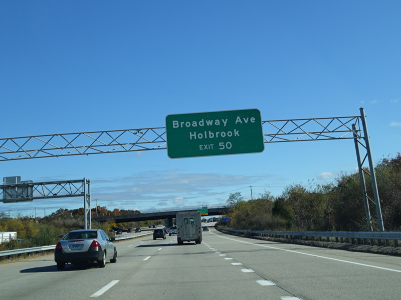
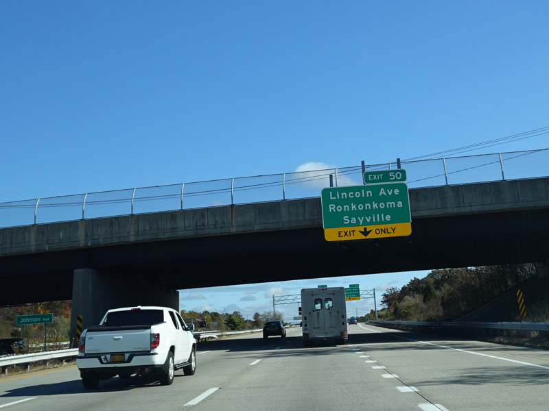
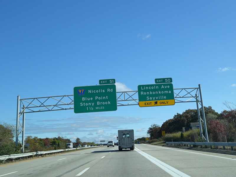
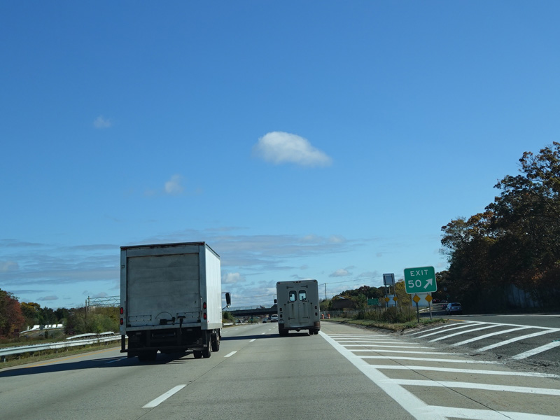
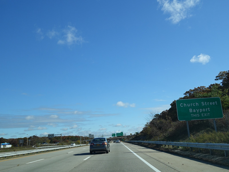
Exit 50 is for Lincoln Avenue and Broadway Avenue.
Photos taken October 2019.
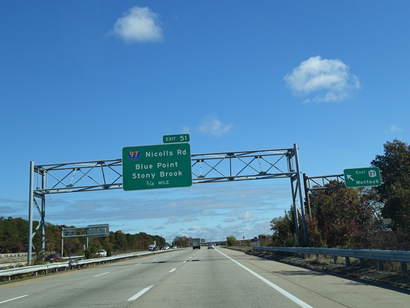

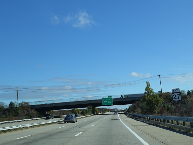
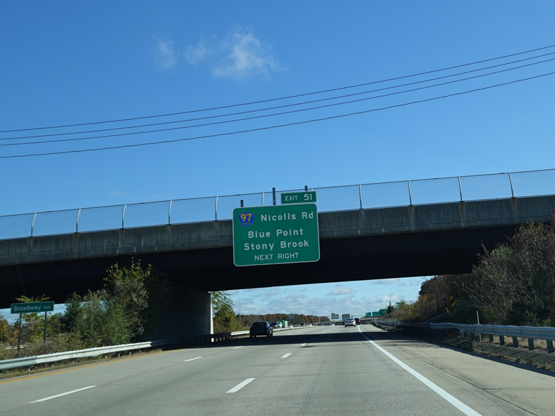
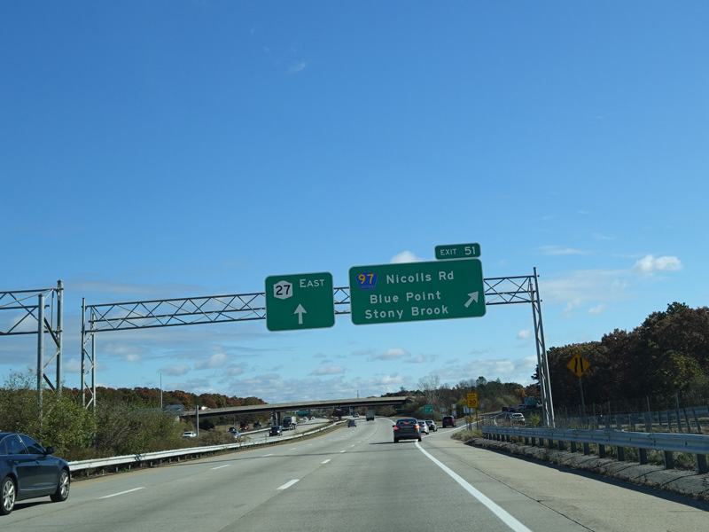
Exit 51 is for Nicolls Road (CR 97).
Photos taken October 2019.
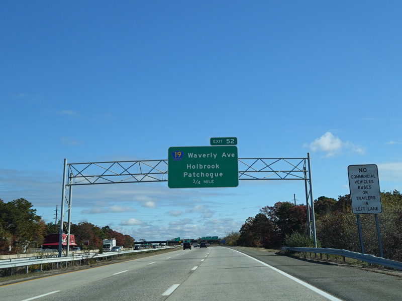
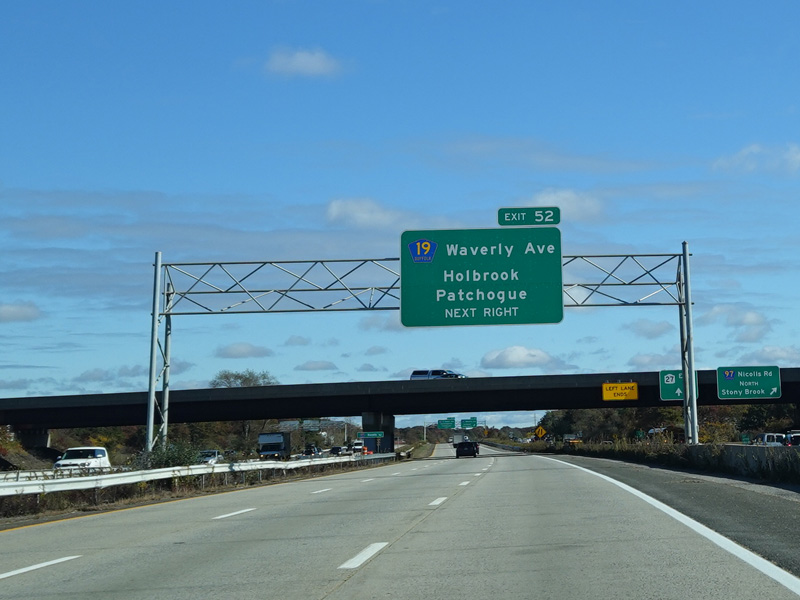
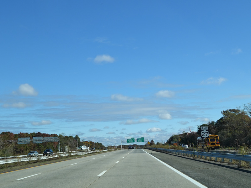
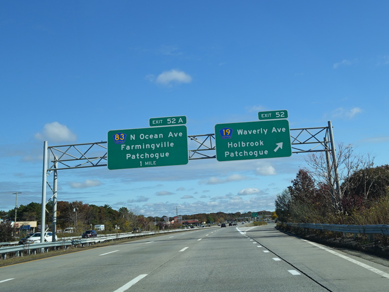
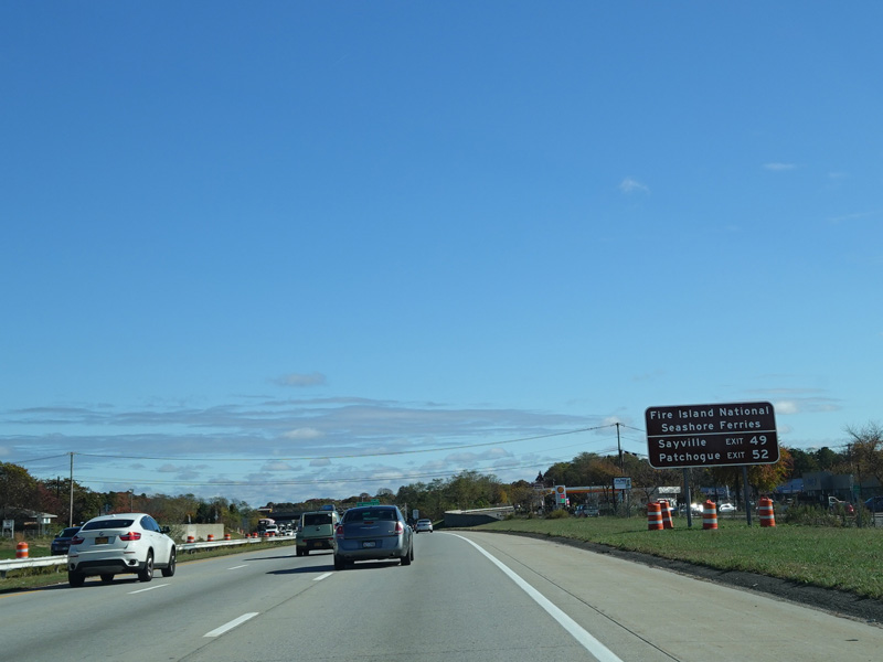
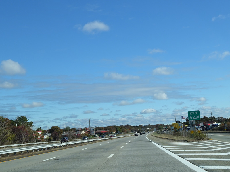
Exit 52 is for Waverly Avenue (CR 19).
Photos taken October 2019.
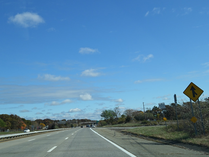
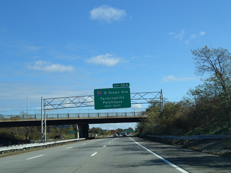
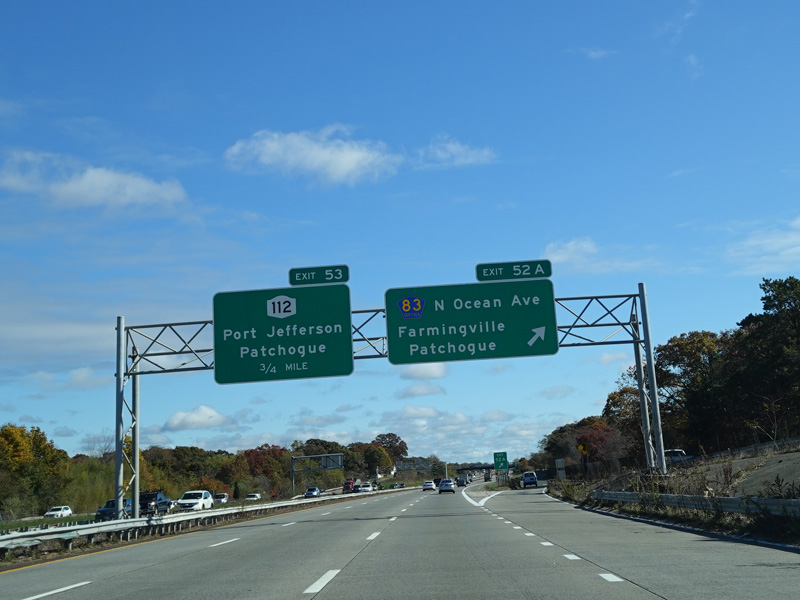
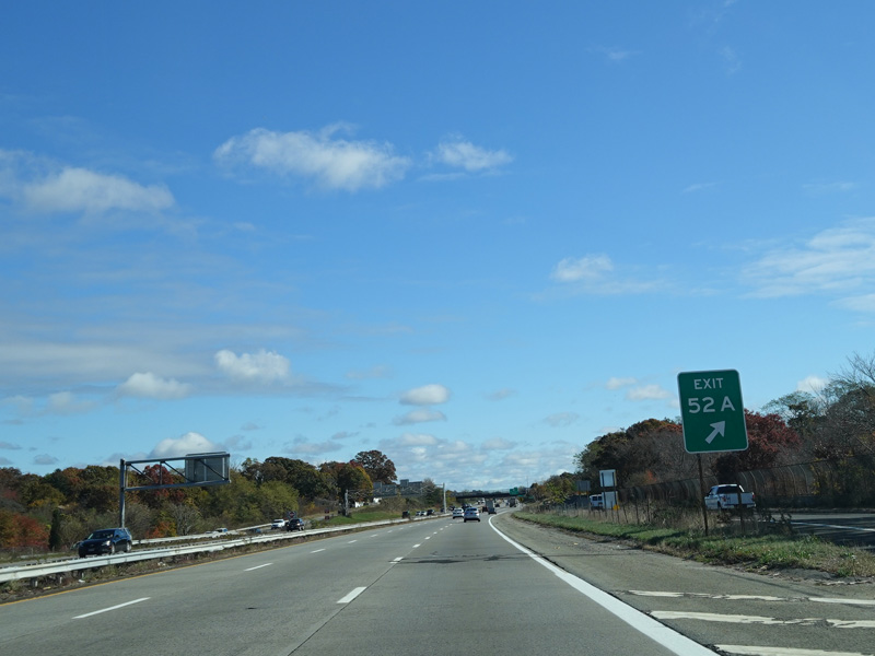
Exit 52A is for North Ocean Avenue (CR 83).
Photos taken October 2019.
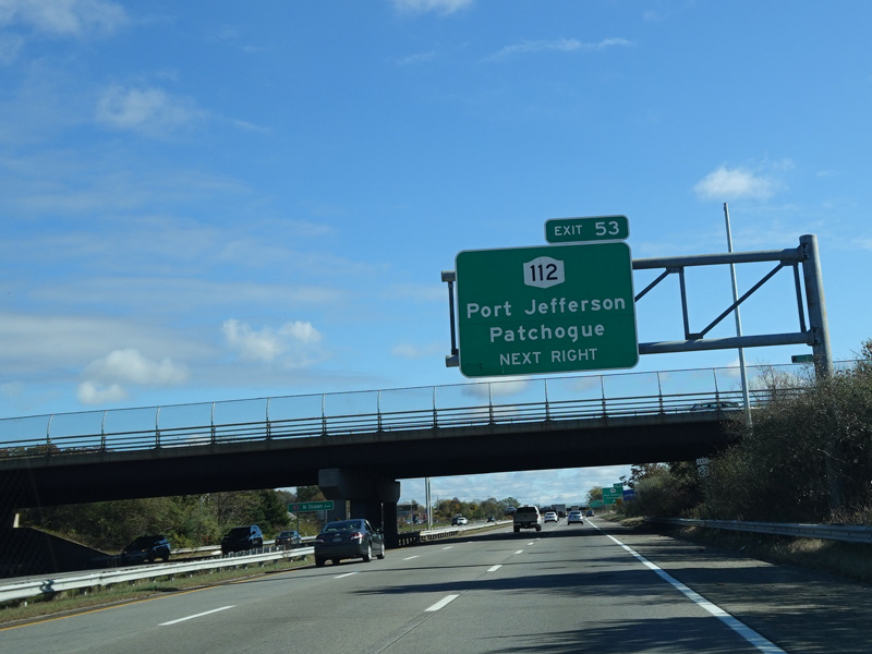
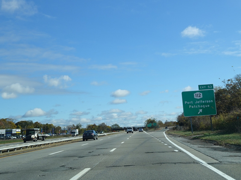
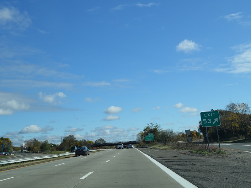
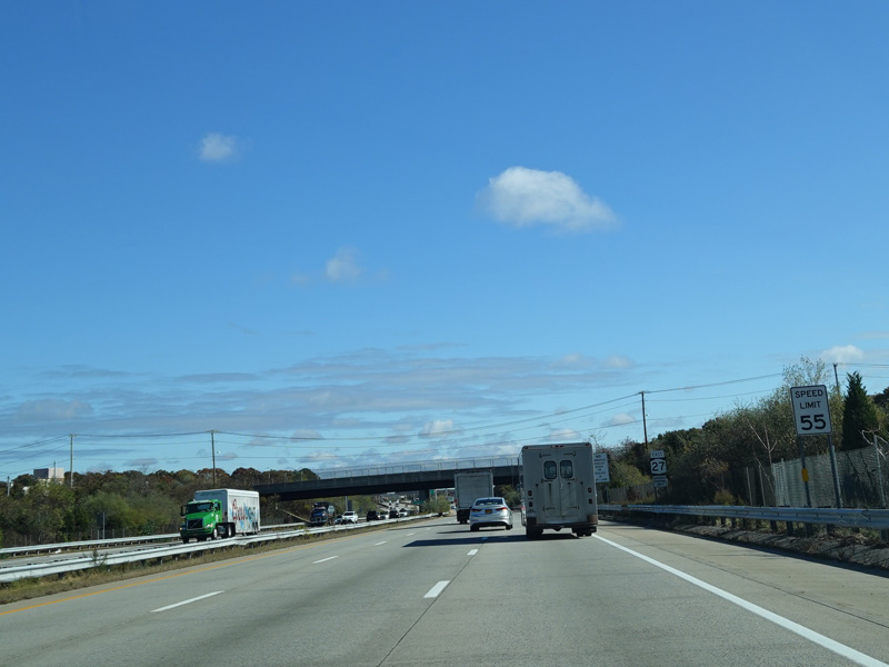
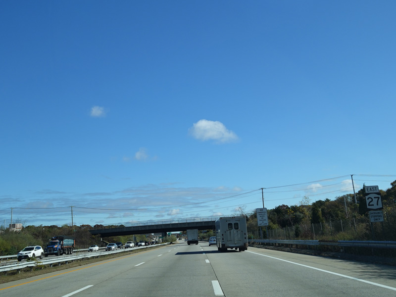
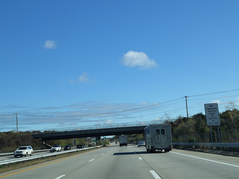
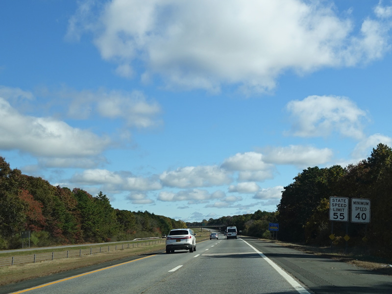
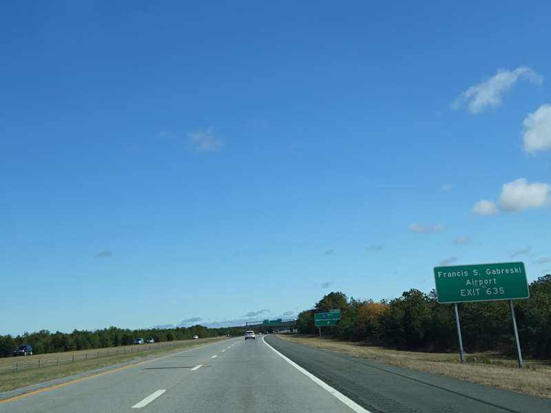
Exit 53 is for NY 112.
Photos taken October 2019.
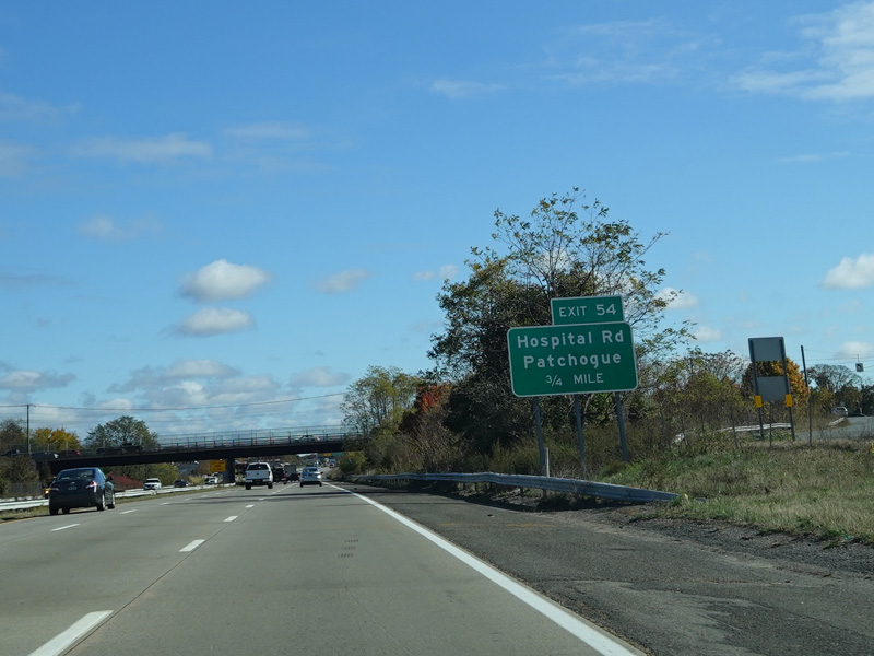
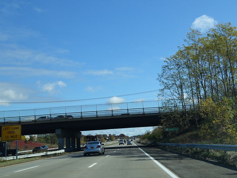
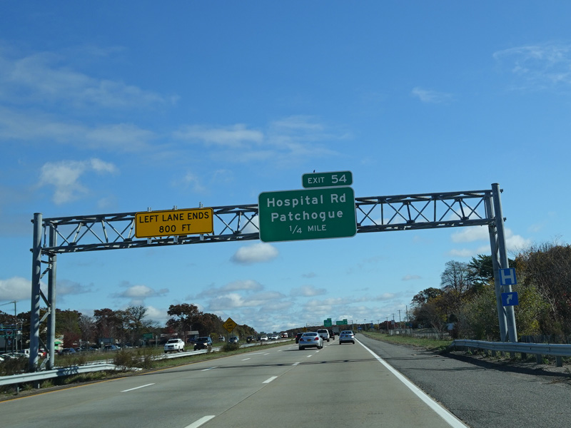
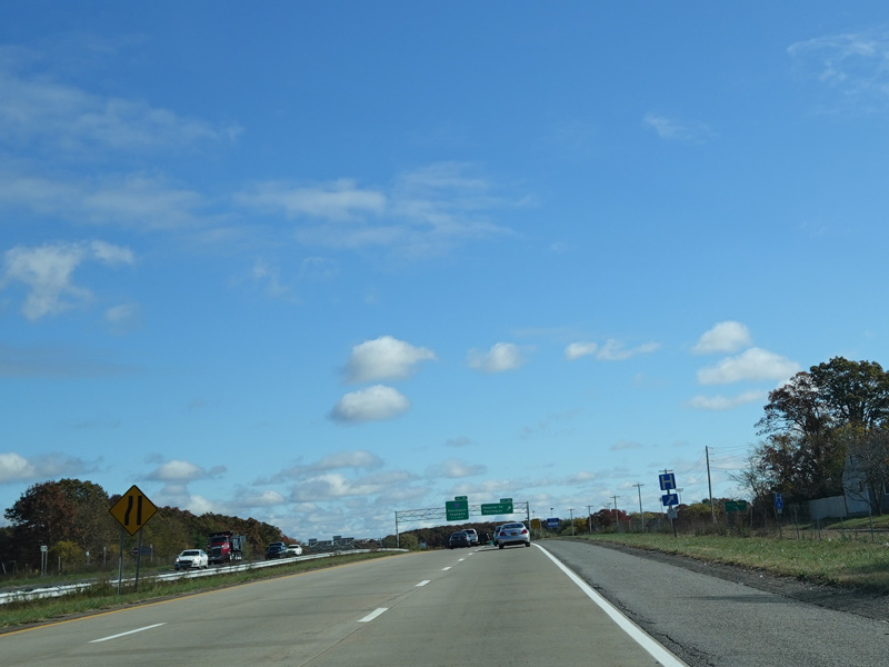
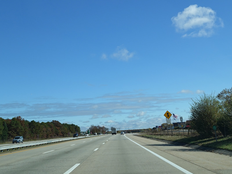
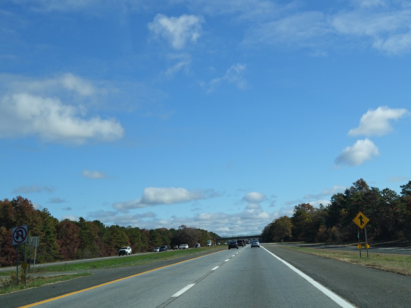
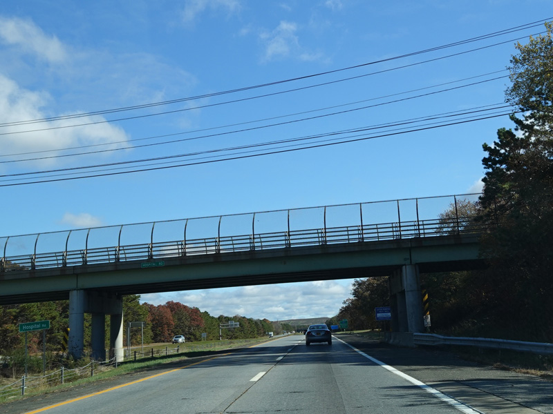
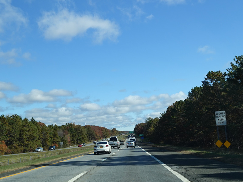
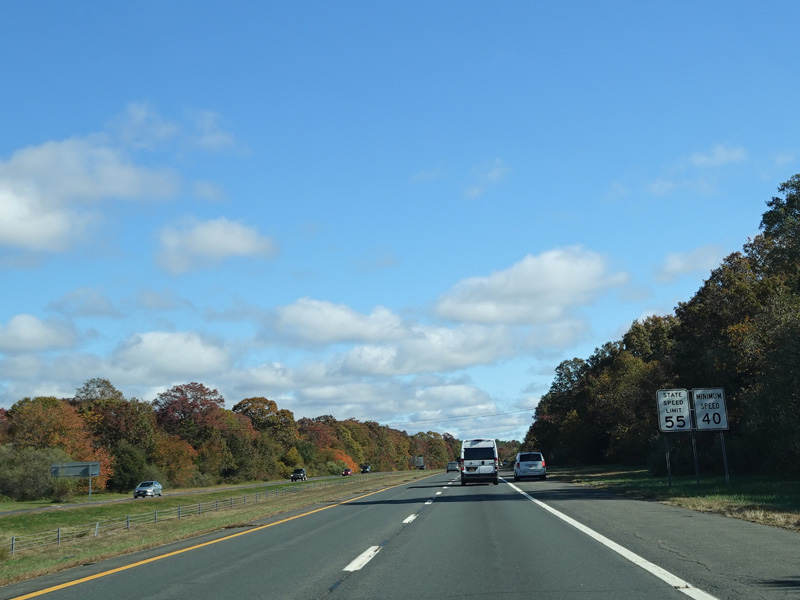
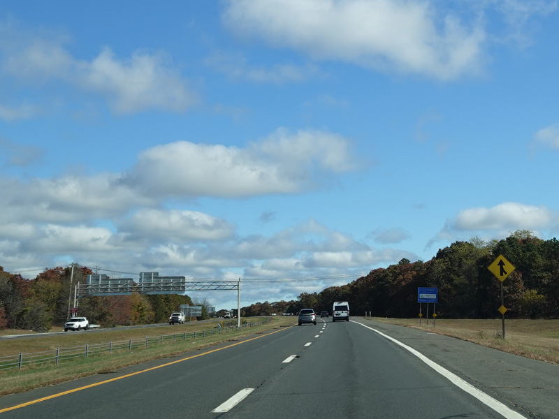
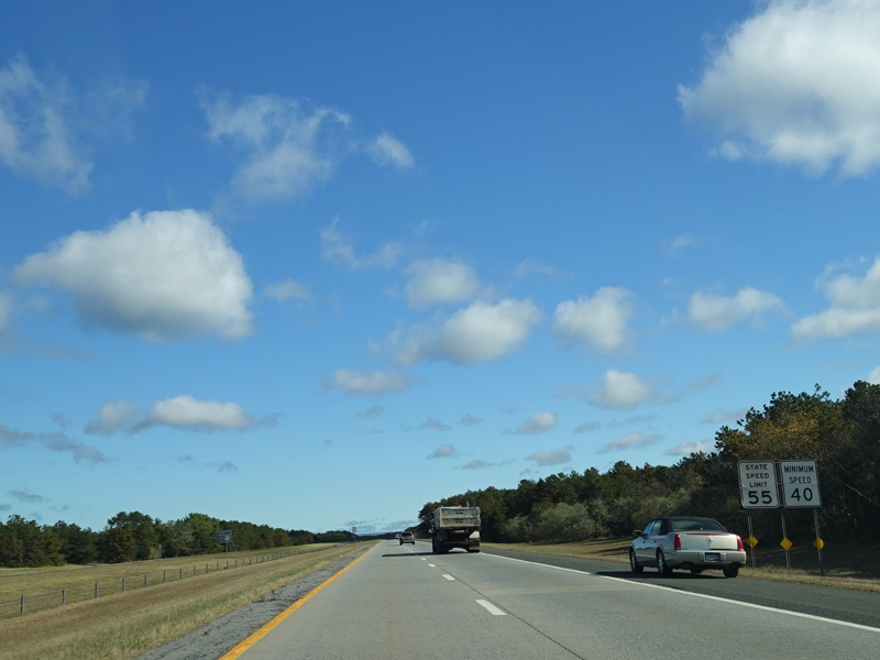
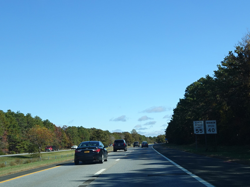
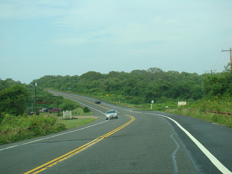
Sunrise Highway narrows down to two lanes in each direction. Exit 54 is for Hospital Road.
Photos taken October 2019.
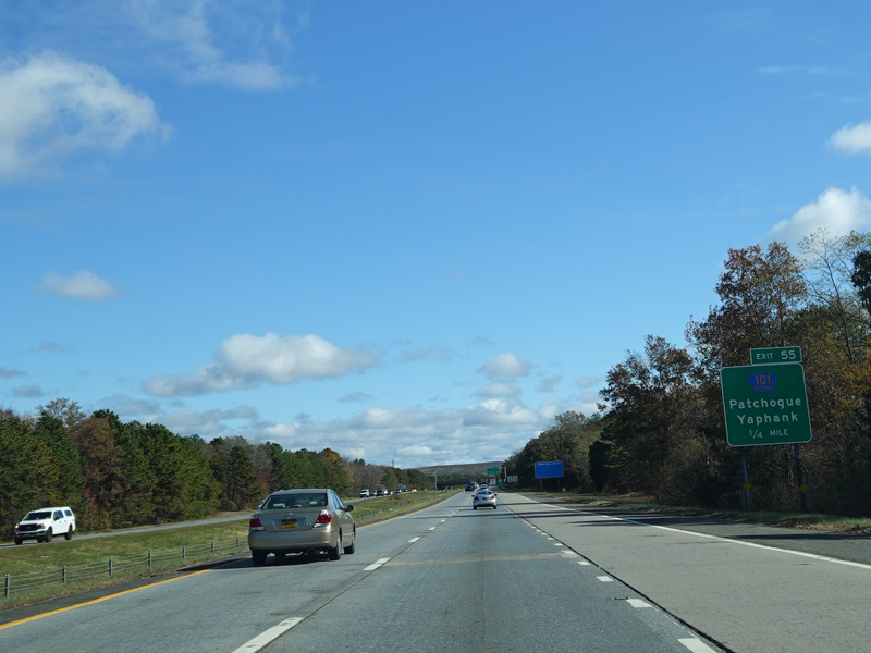
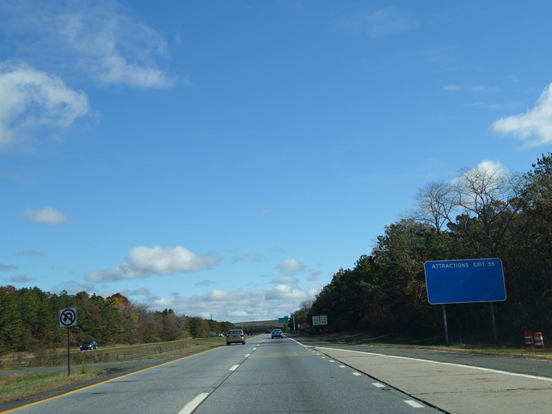
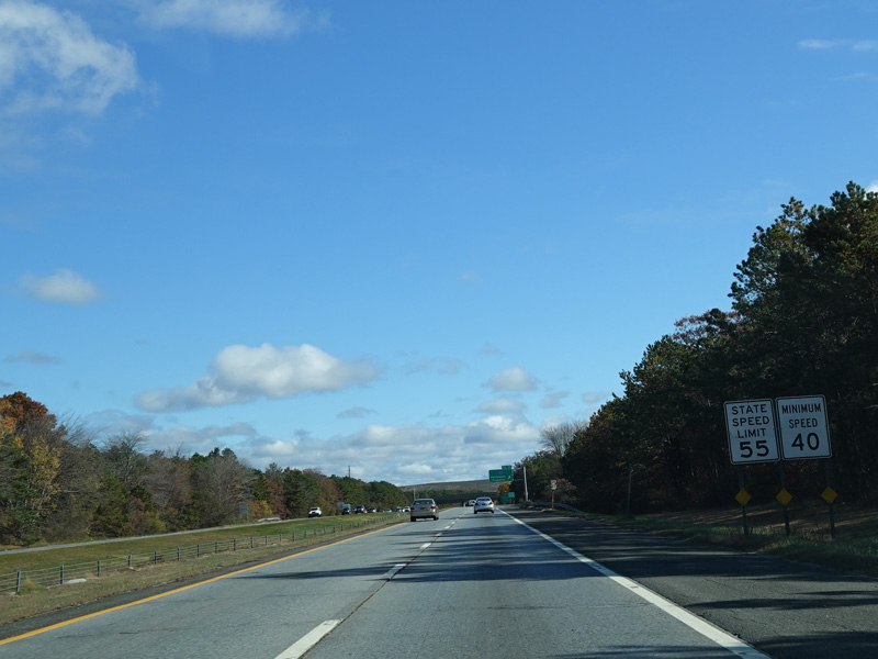
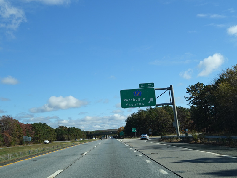
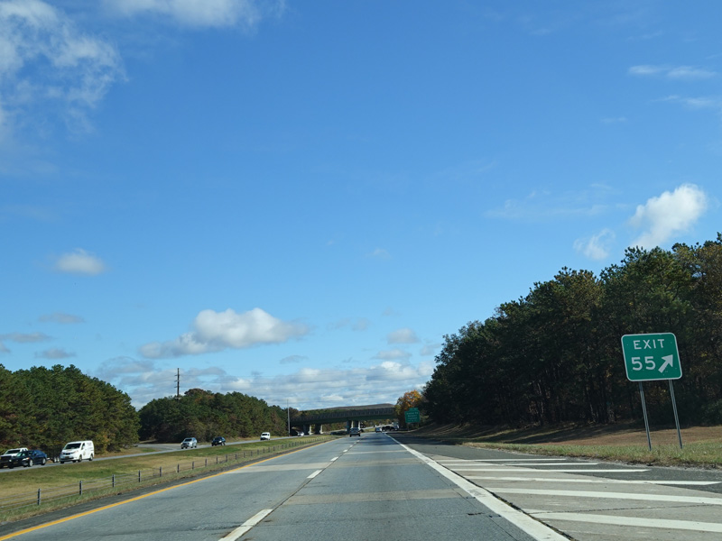
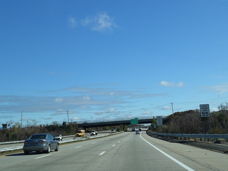
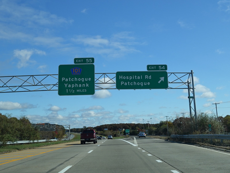
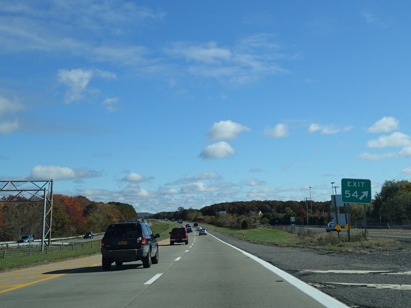
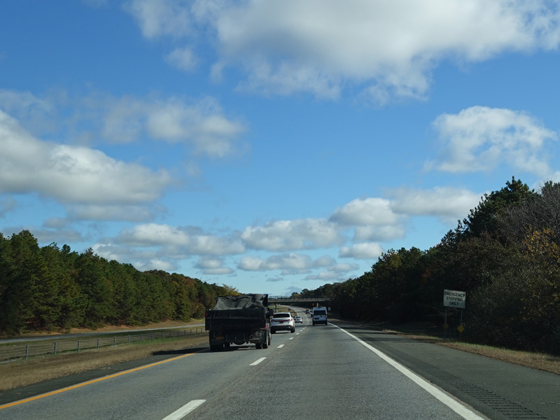
Exit 55 is for Patchogue-Yaphank Road (CR 101).
Photos taken October 2019.
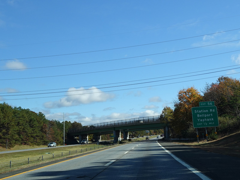
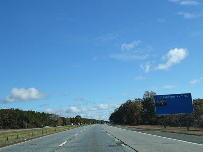
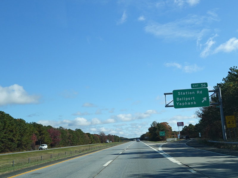
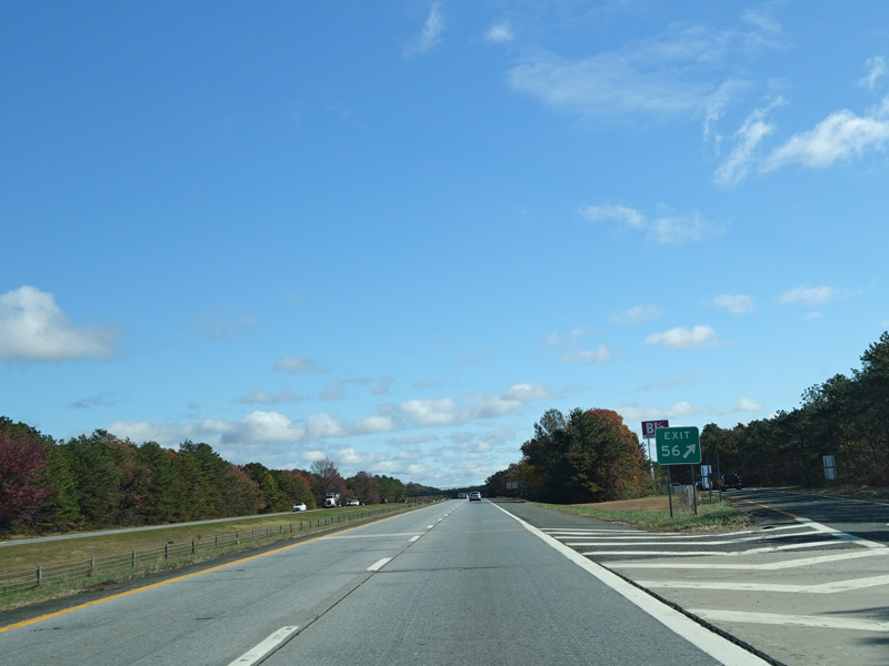
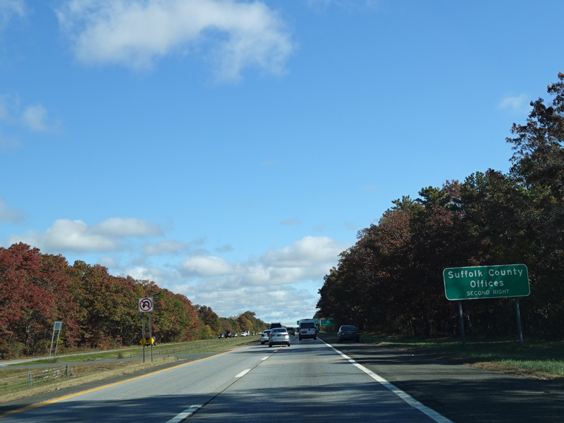
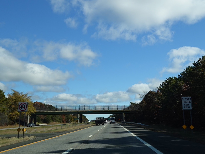
Exit 56 is for Station Road.
Photos taken October 2019.
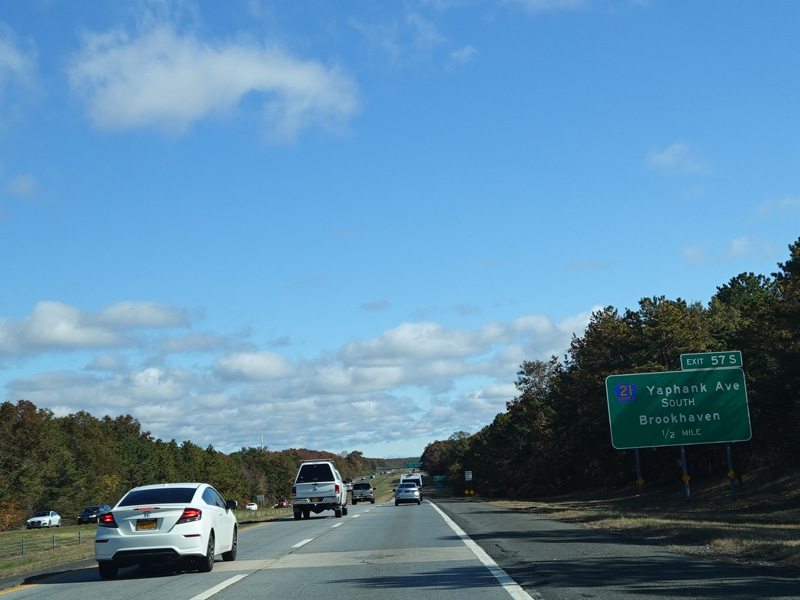
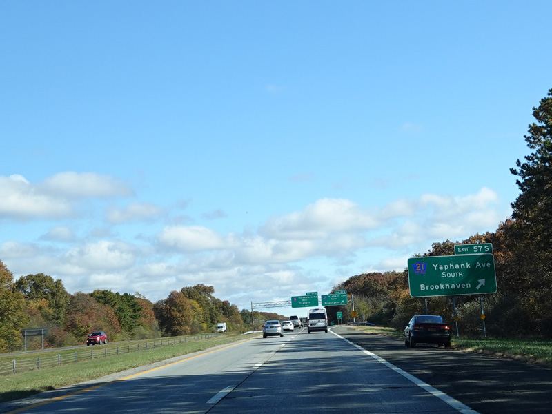
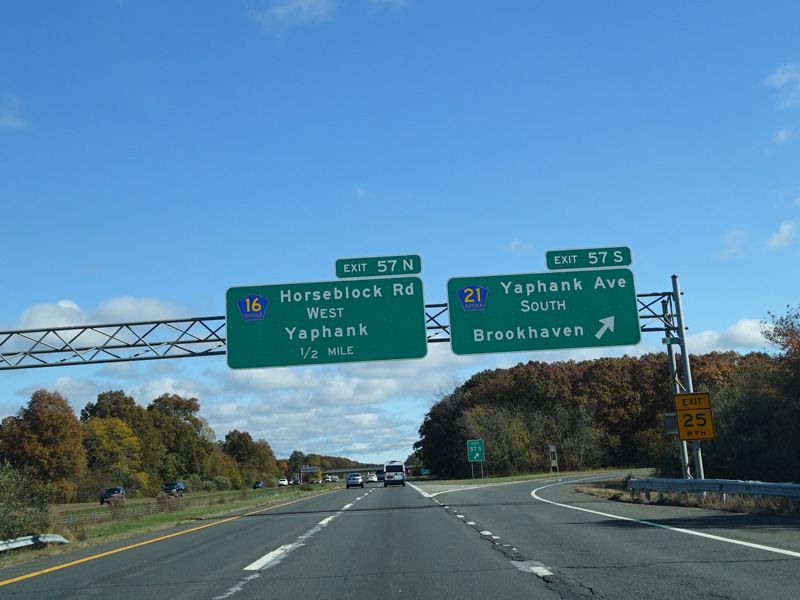
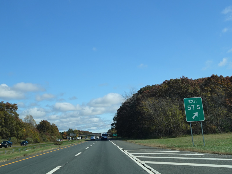
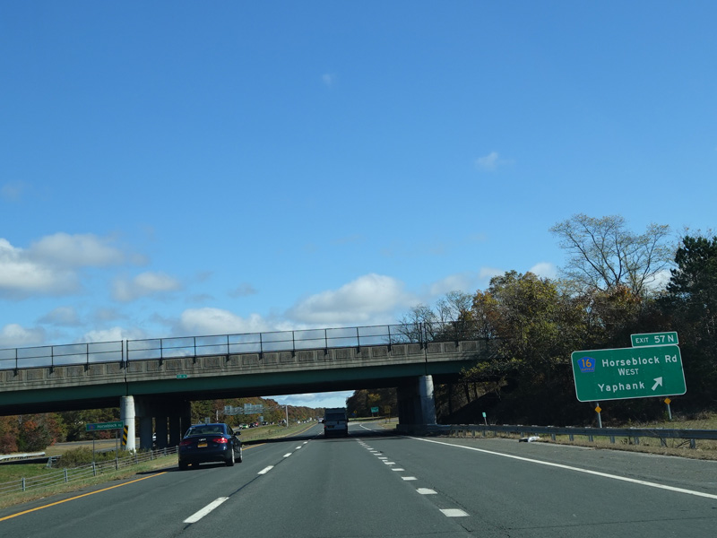
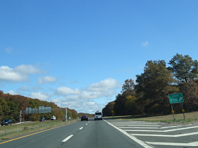
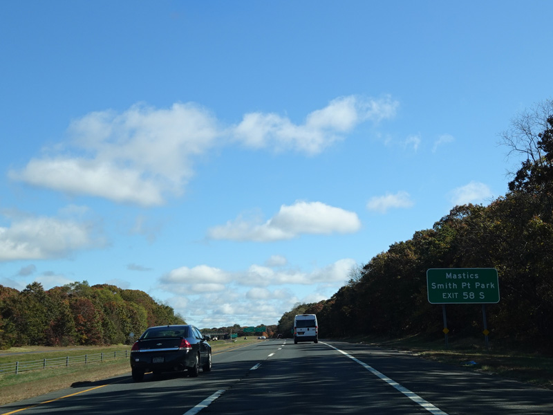
Exit 57S is for Yaphank Avenue (CR 21) south. Exit 57N is for Horseblock Road (CR 16) west.
Photos taken October 2019.
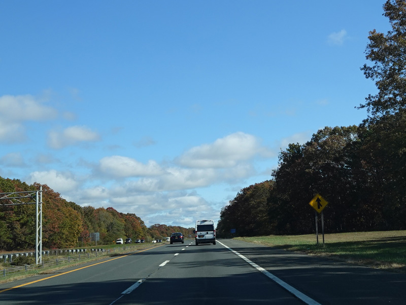
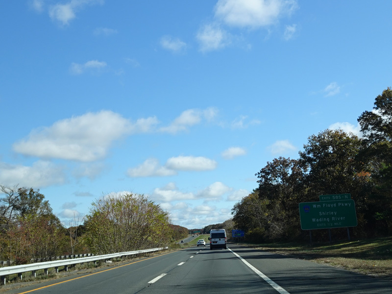
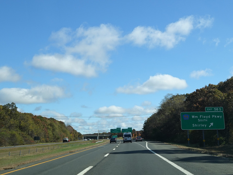
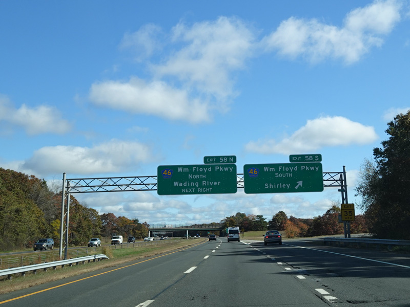
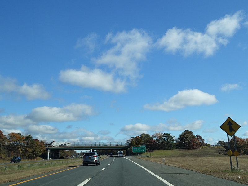
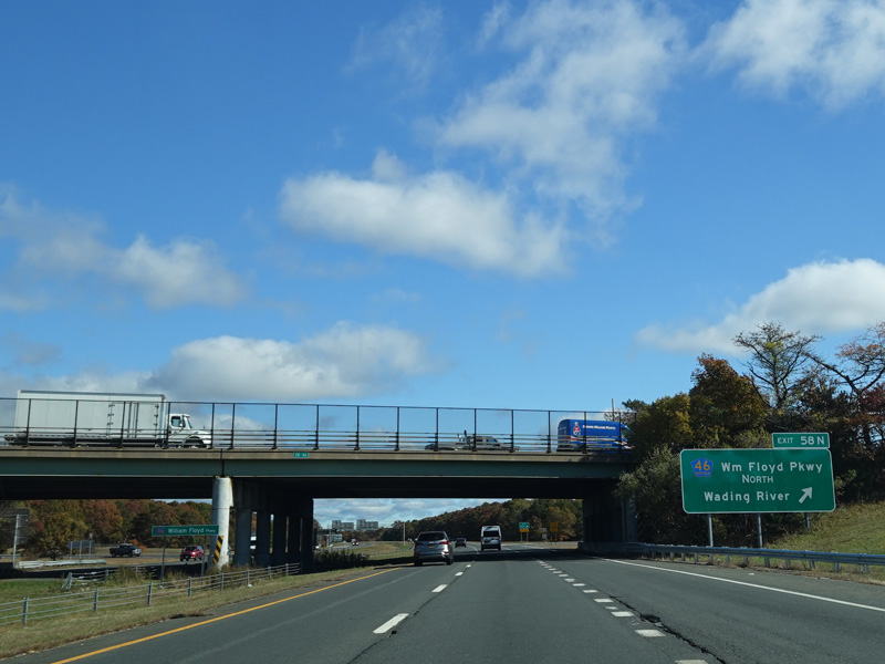
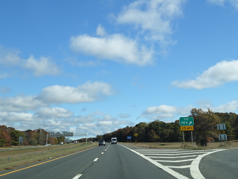
Exits 58S-N are for the William Floyd Parkway (CR 46).
Photos taken October 2019.
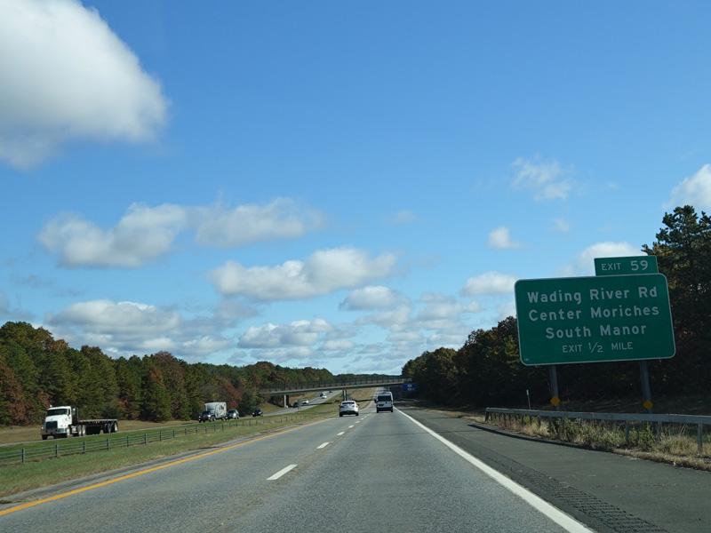
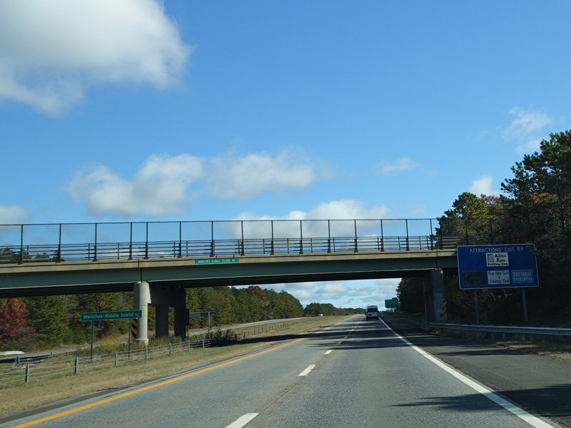
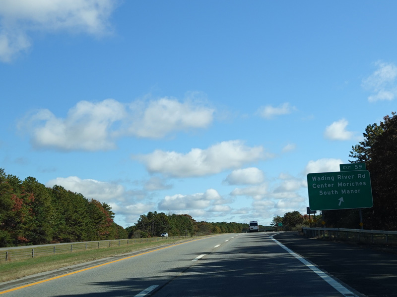
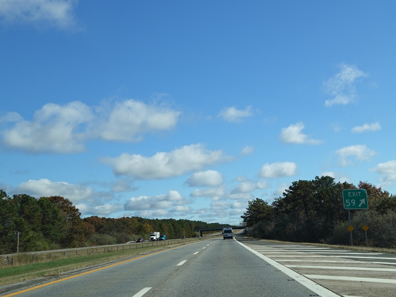
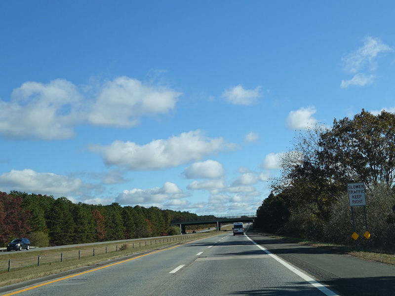
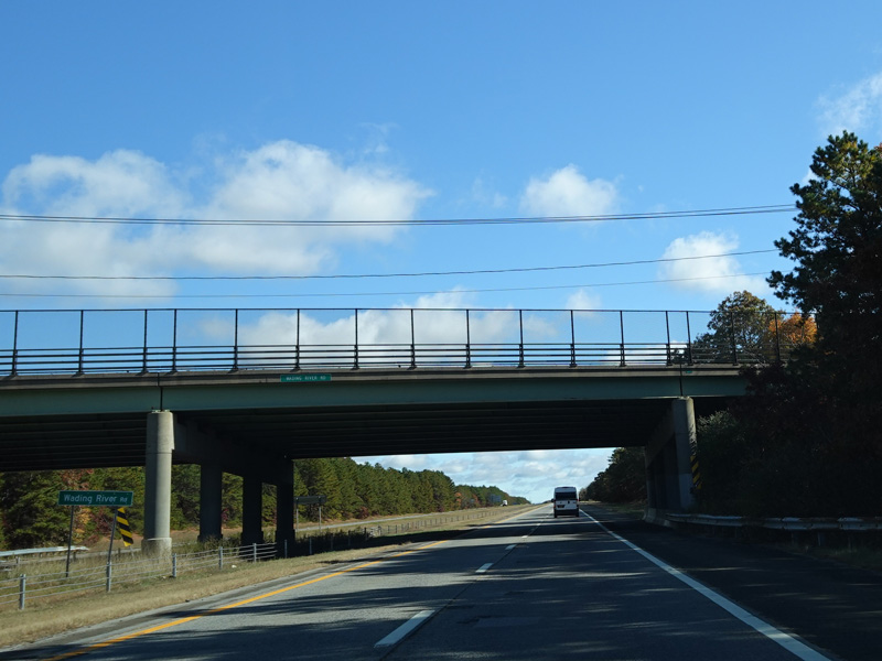
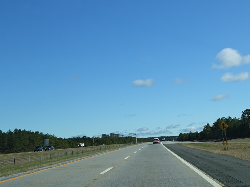
Exit 59 is for Wading River Road.
Photos taken October 2019.
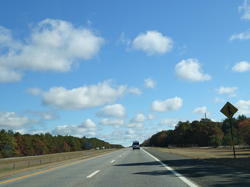
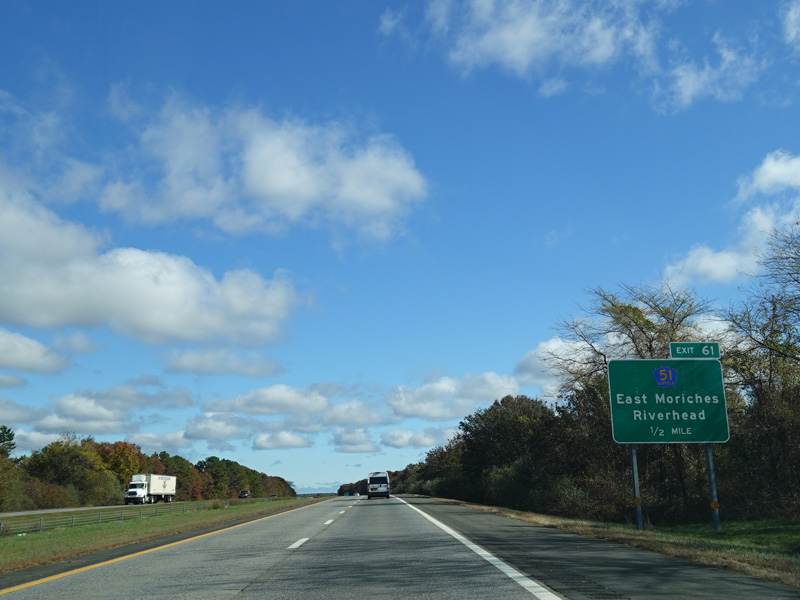
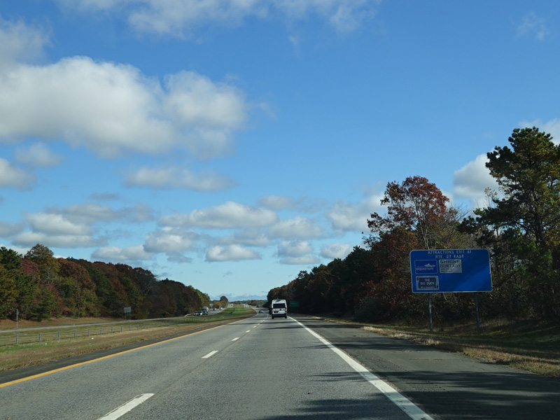
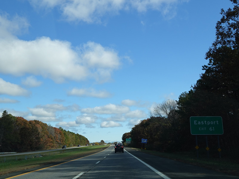
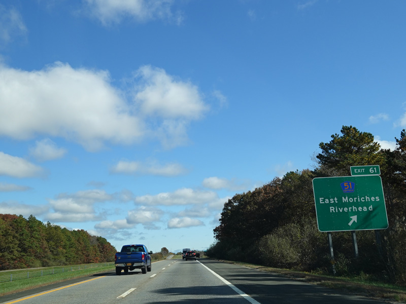
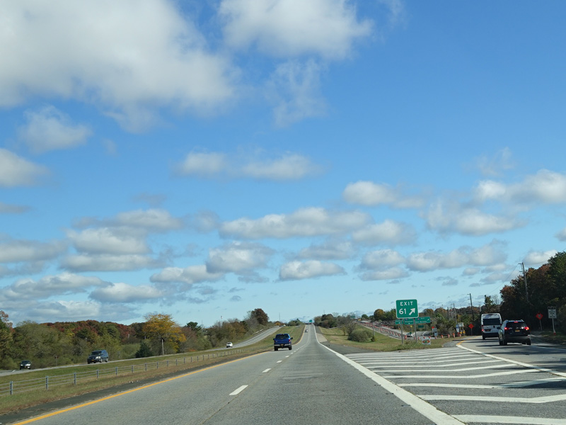
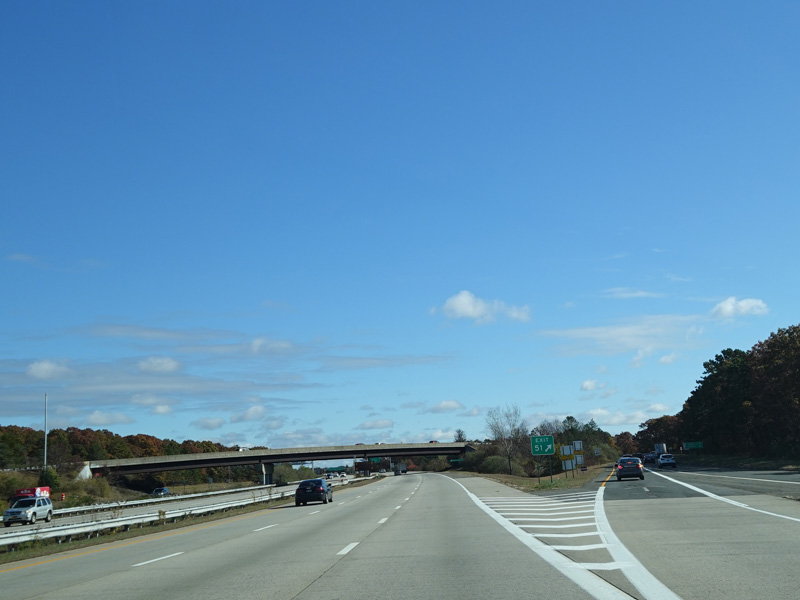
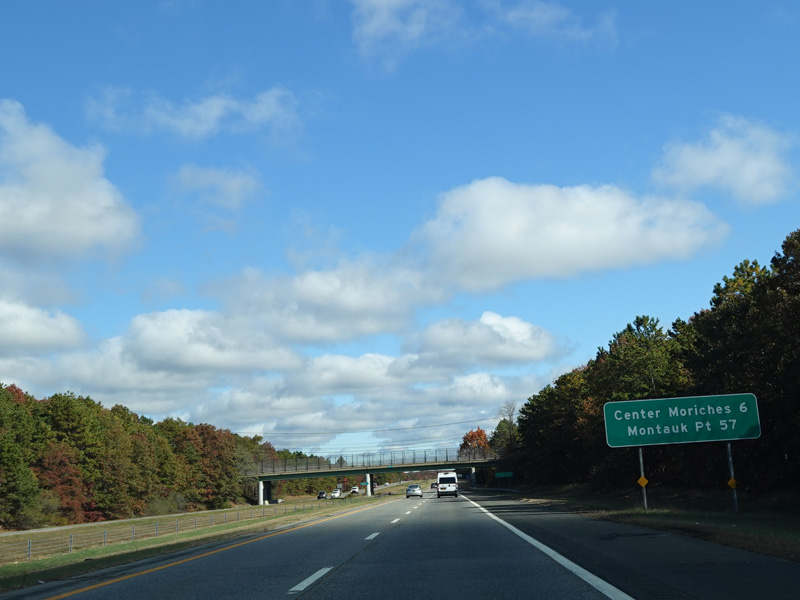
Exit 61 is for East Moriches-Riverhead Road (CR 51).
Photos taken October 2019.
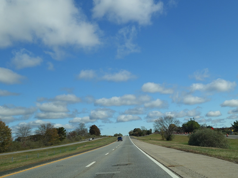
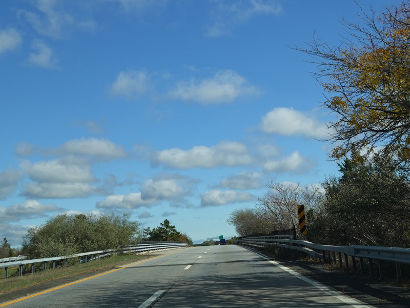
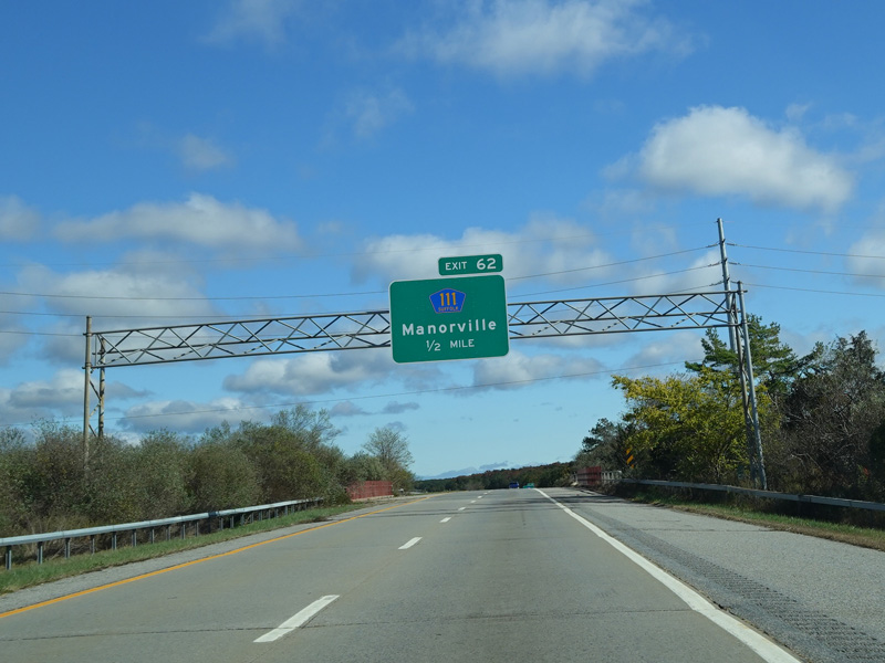
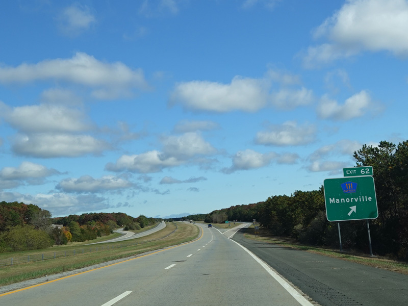
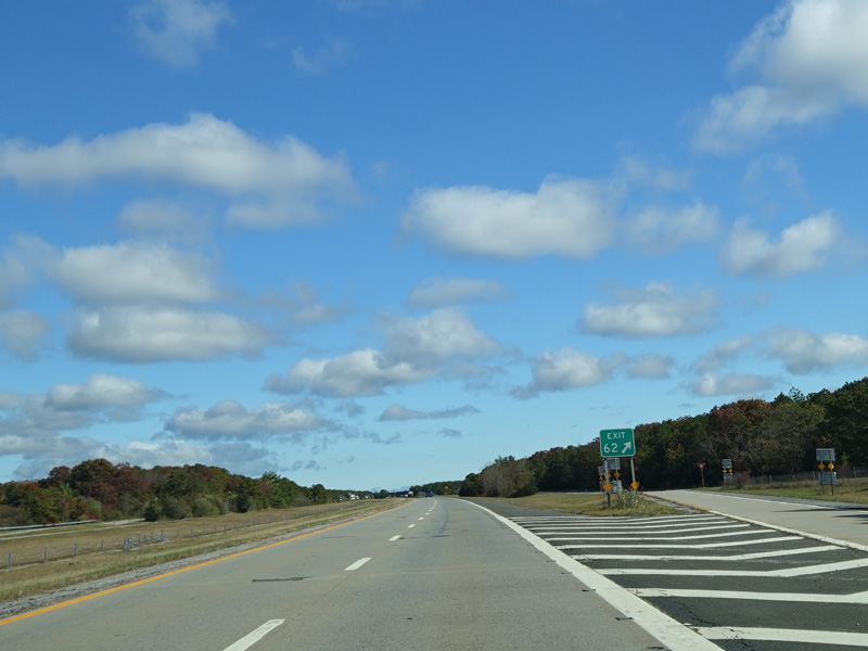
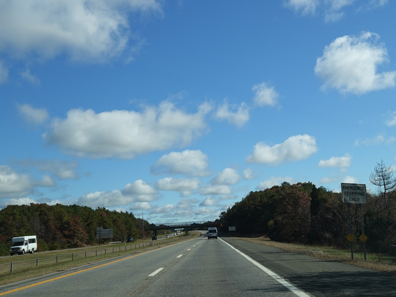
Exit 62 is for Captain Daniel Roe Highway (CR 111).
Photos taken October 2019.
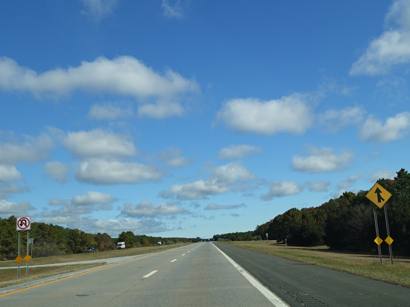
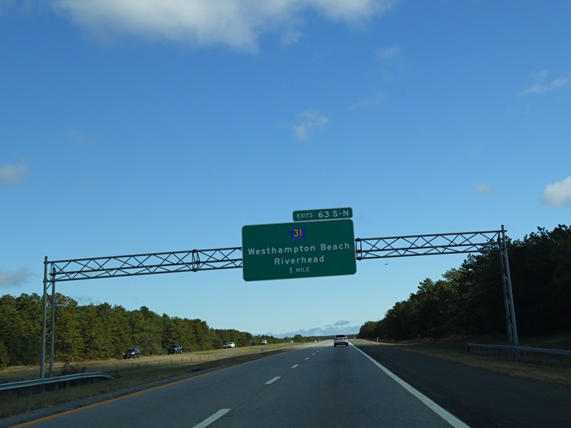
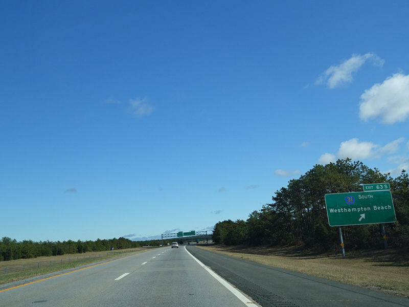
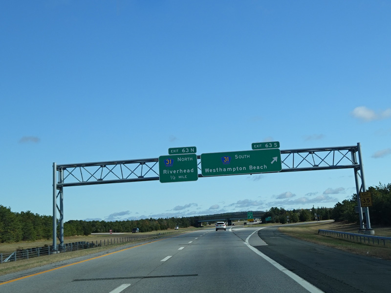
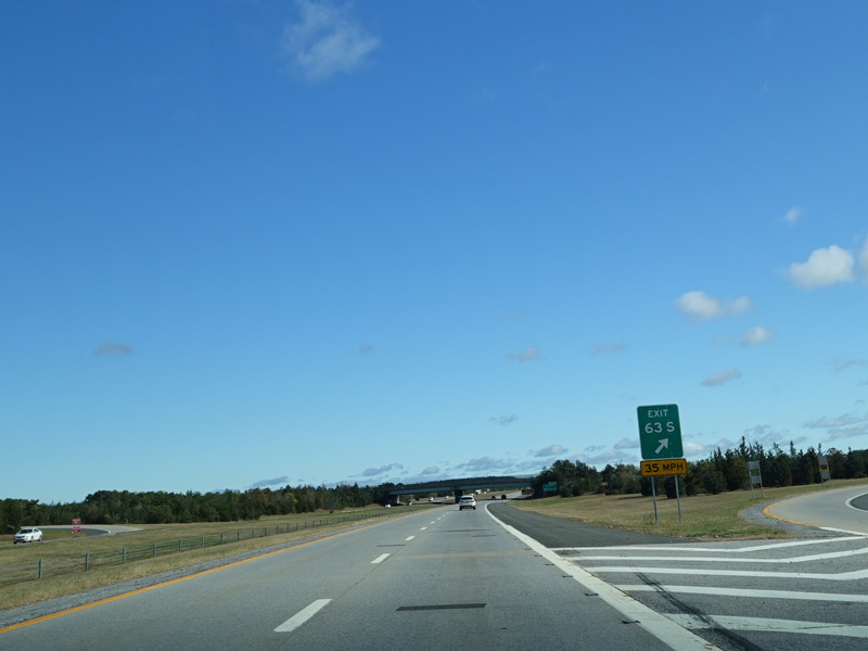
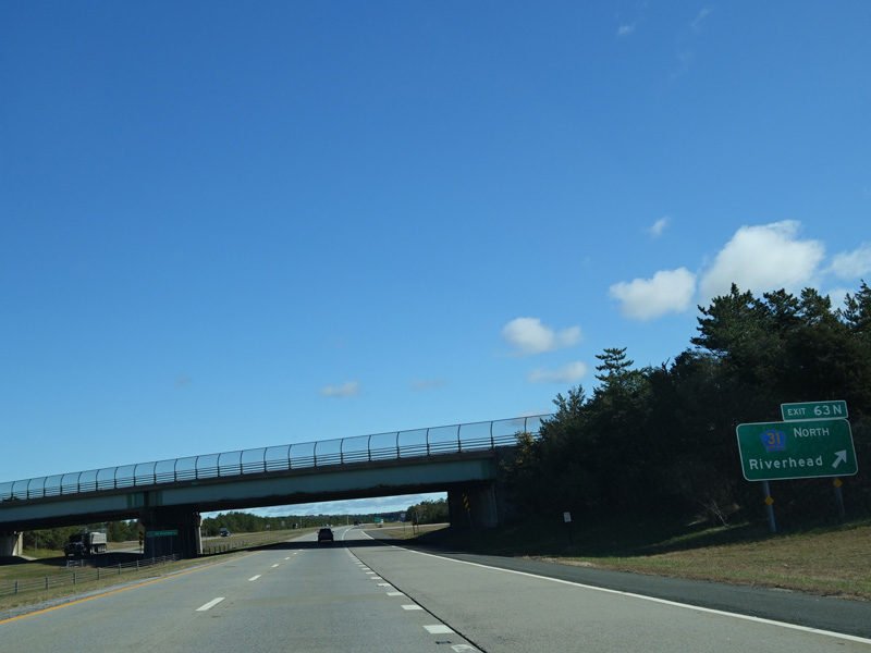
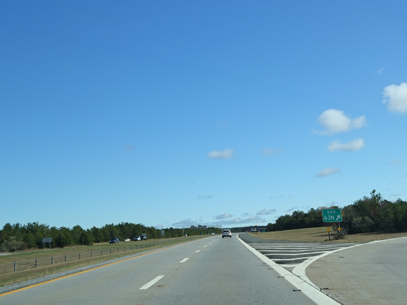
Exits 63S-N are for Old Riverhead Road (CR 31).
Photos taken October 2019.
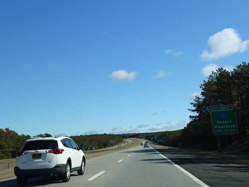
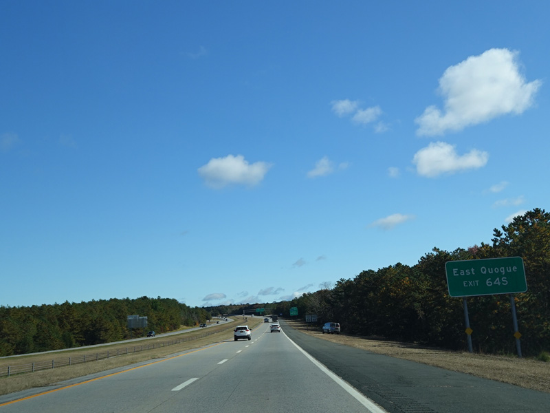
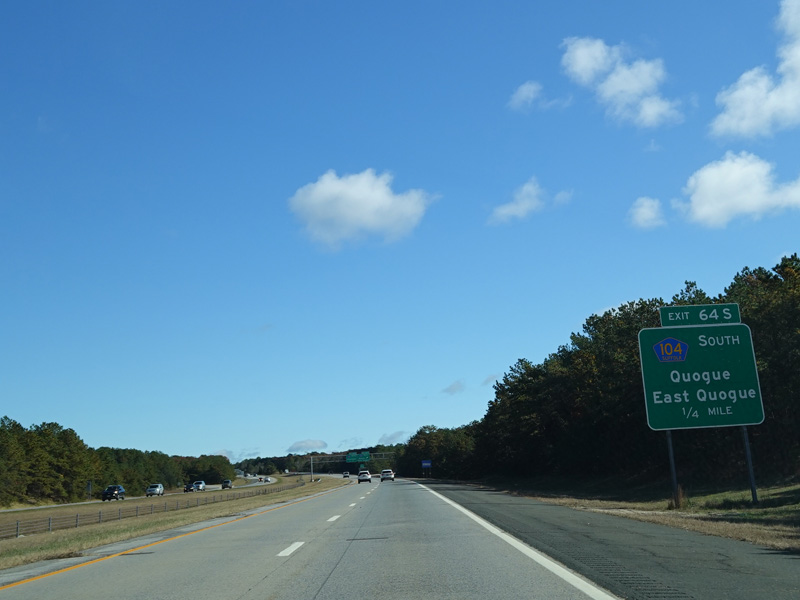
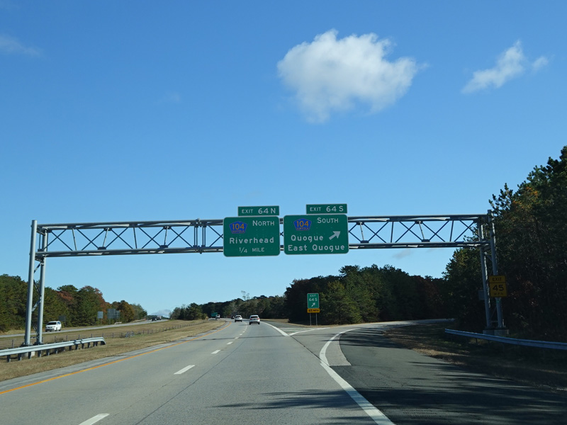
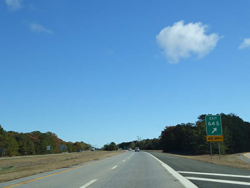
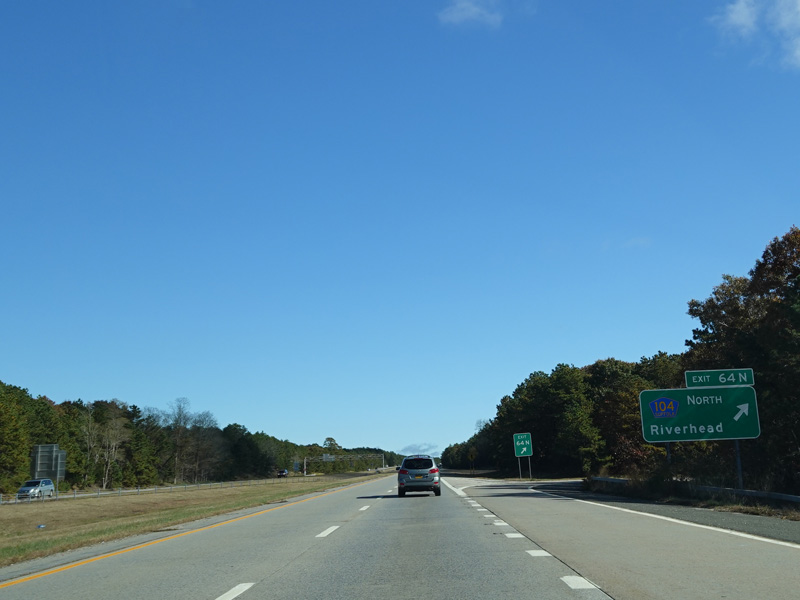
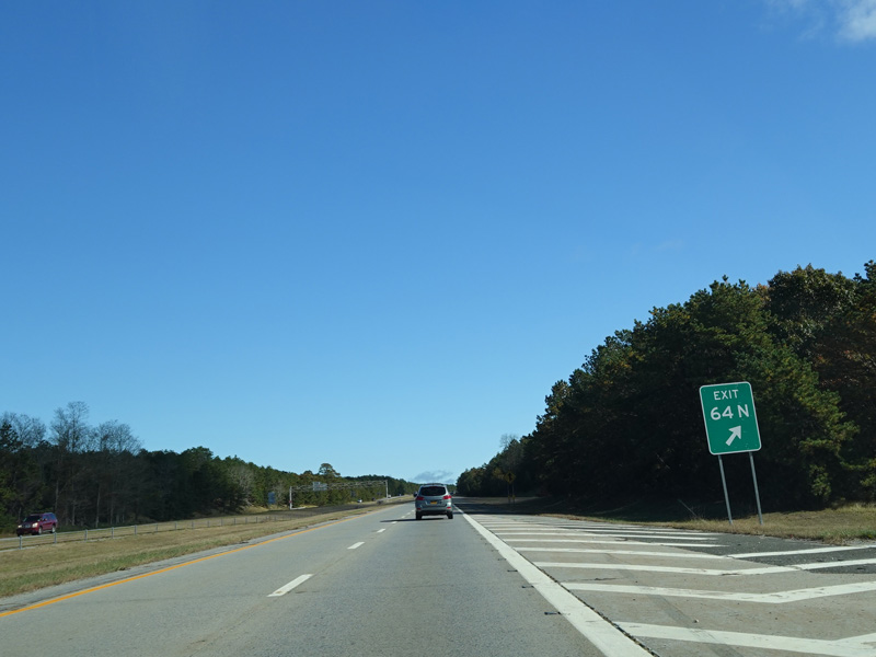
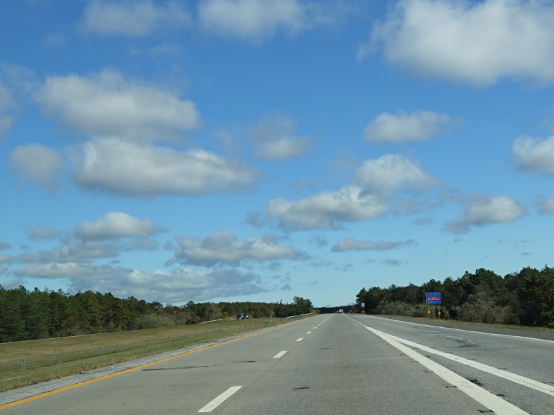
Exits 64S-N are for Quogue-Riverhead Road (CR 104).
Photos taken October 2019.
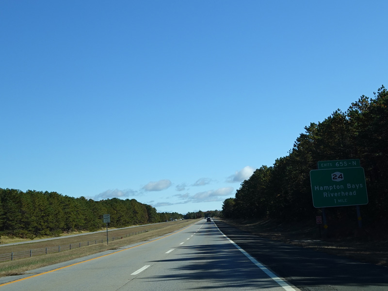
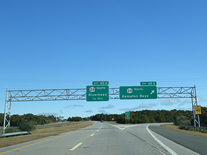
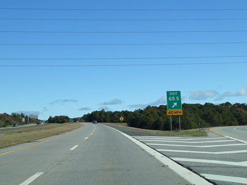
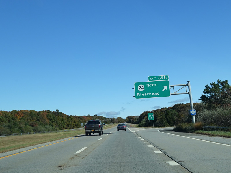
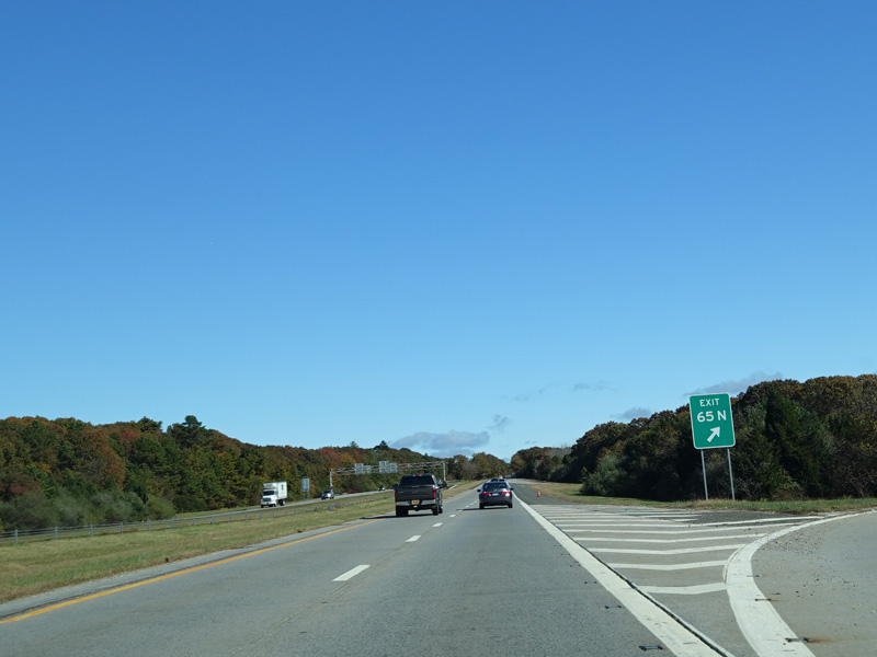
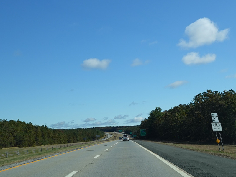
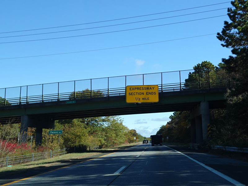
Exits 65S-N are for Riverhead-Hampton Bays Road (NY 24).
Photos taken October 2019.
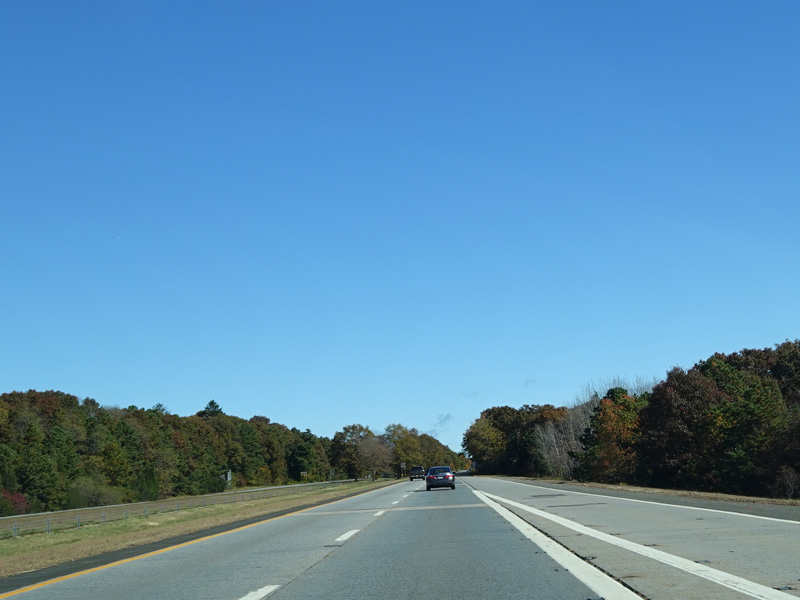
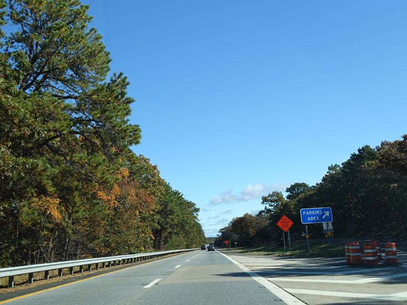
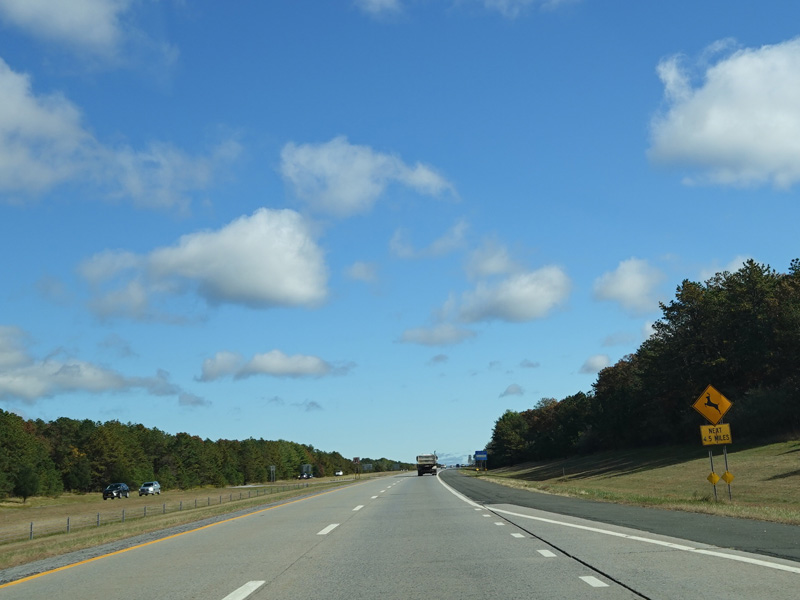
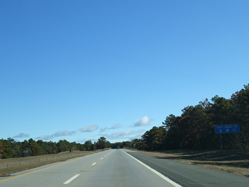
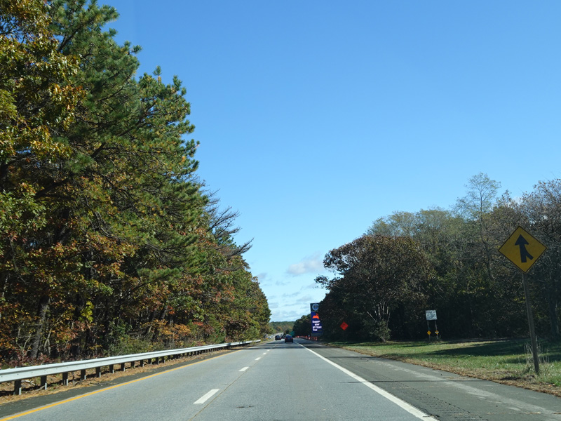
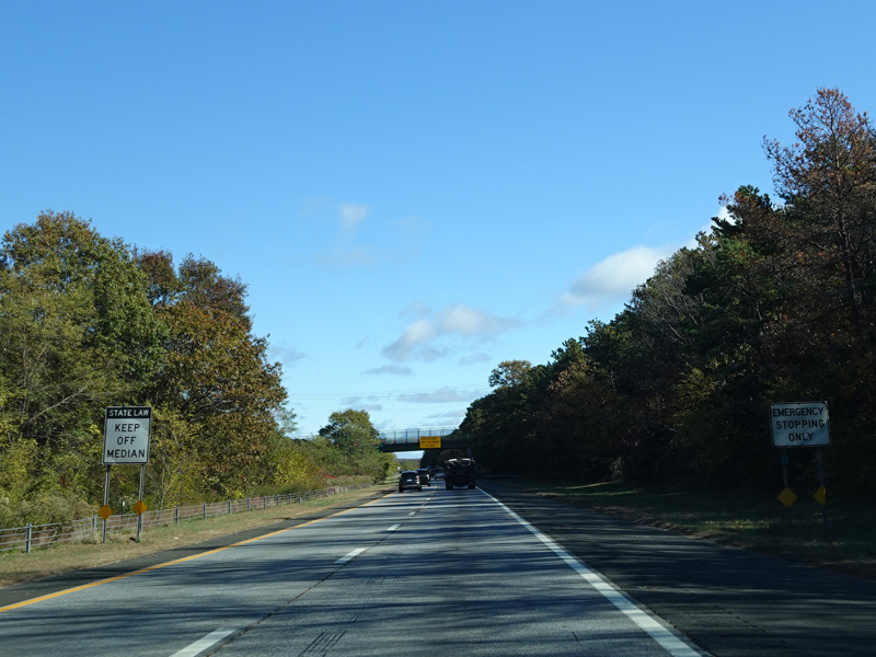
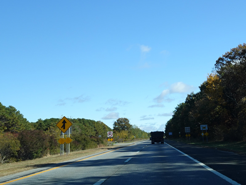
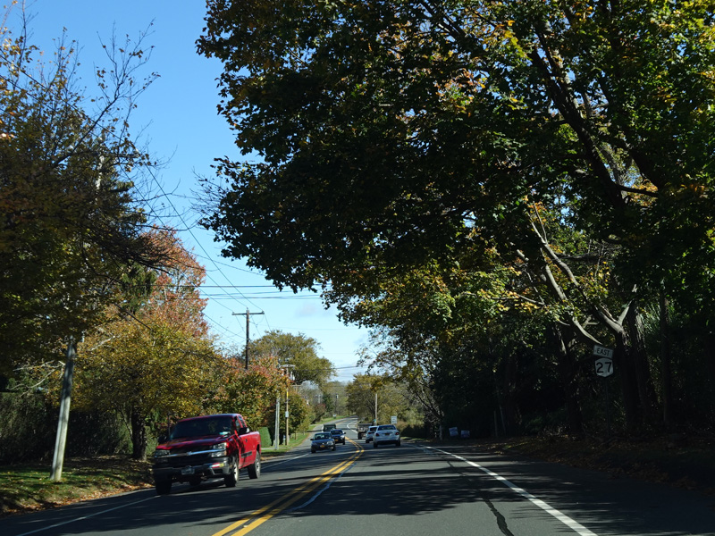
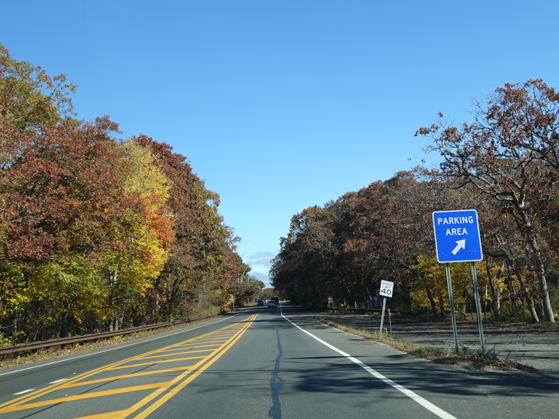
There is a parking area before the last exit. Just before it, there is an erroneous US 27 shield, one of the few sign goofs of this sort on Long Island.
Photos taken October 2019.
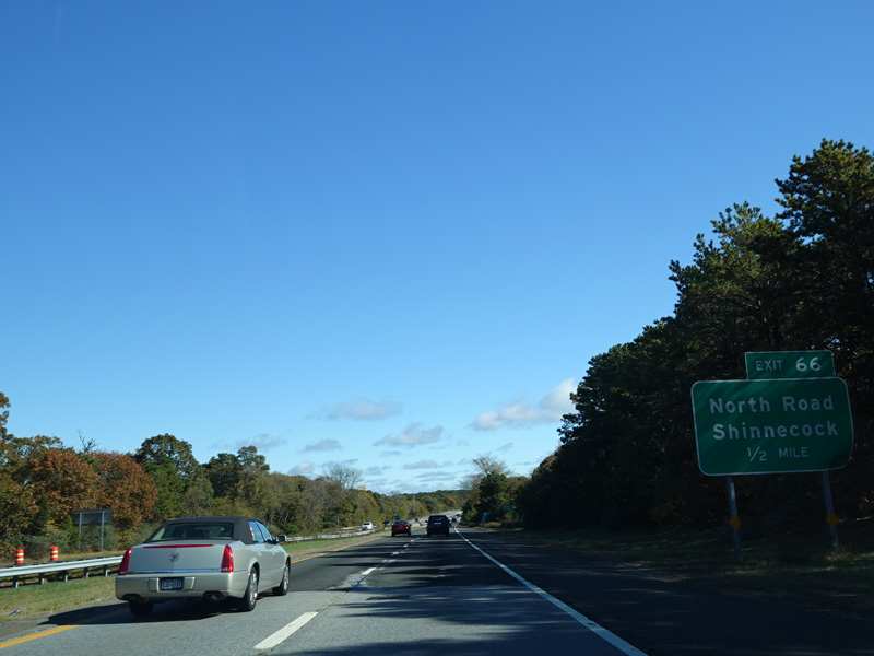
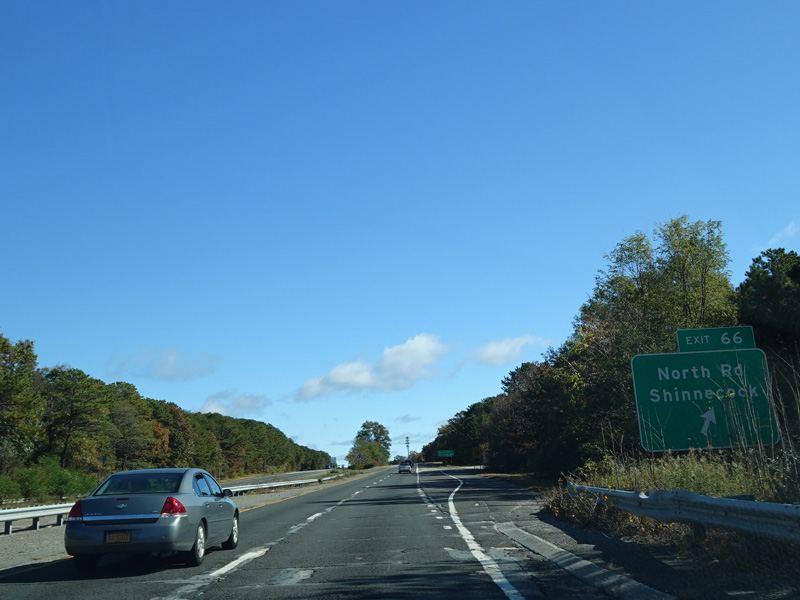
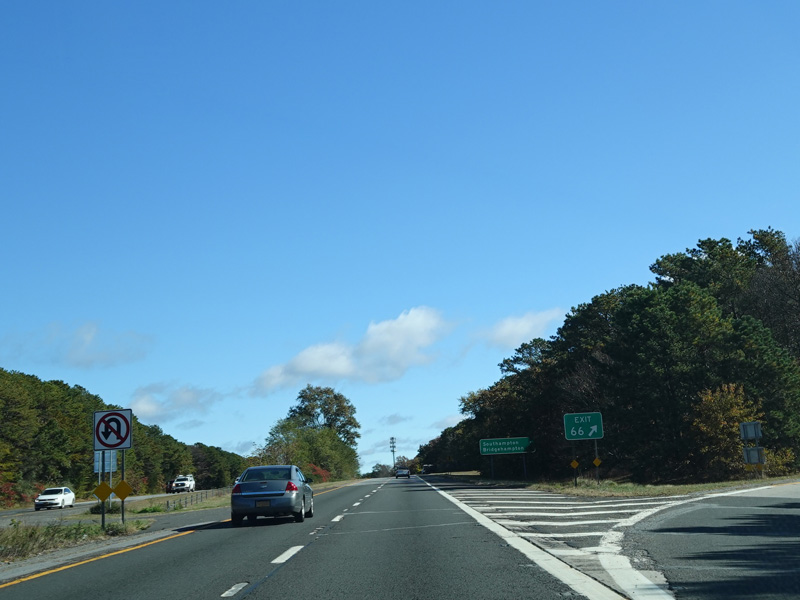
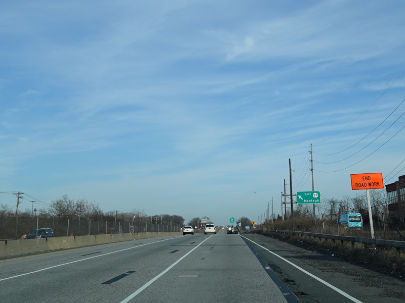
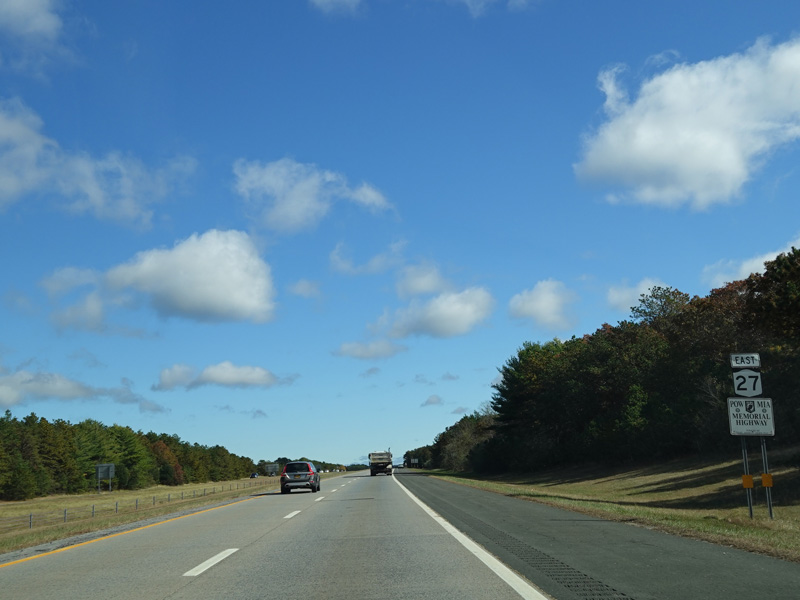
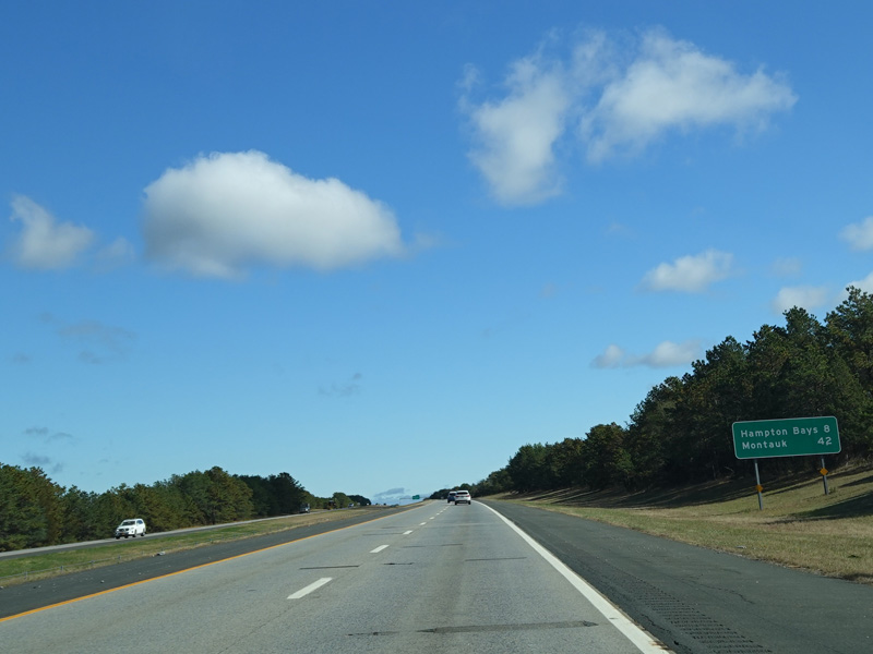
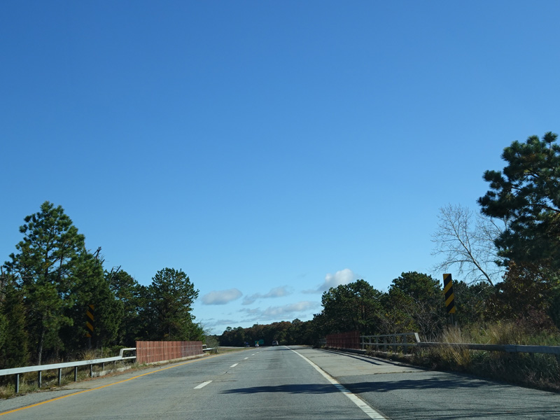
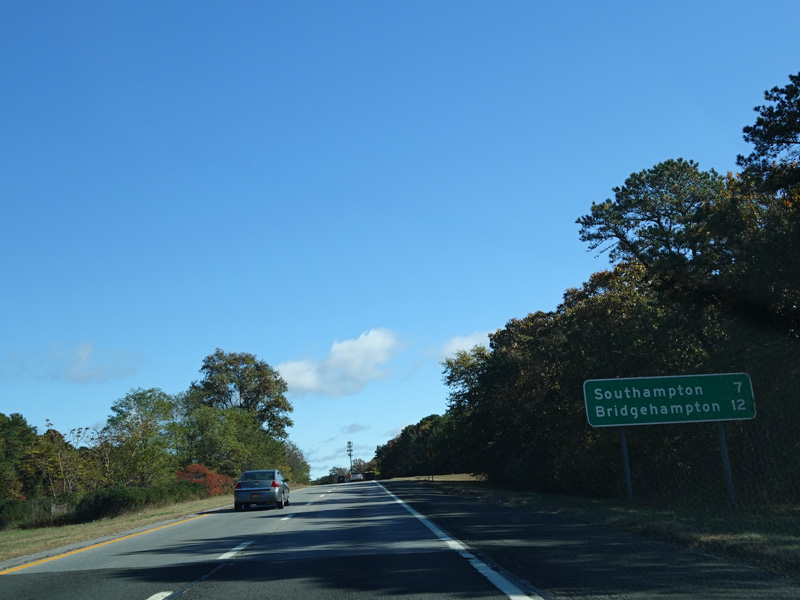
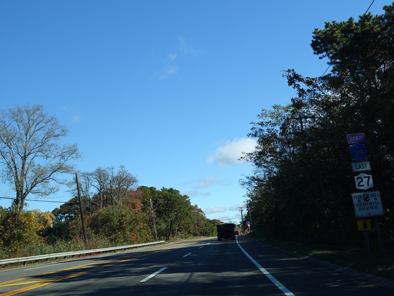
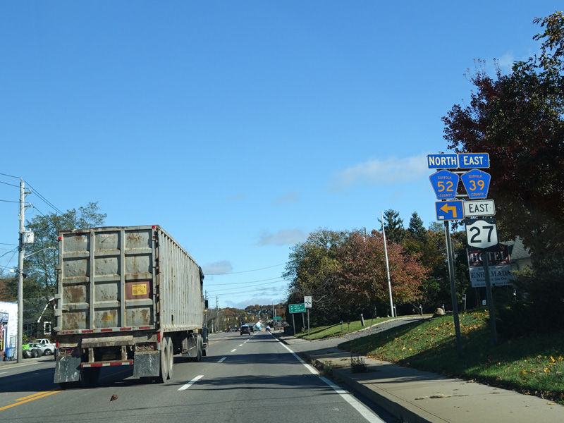
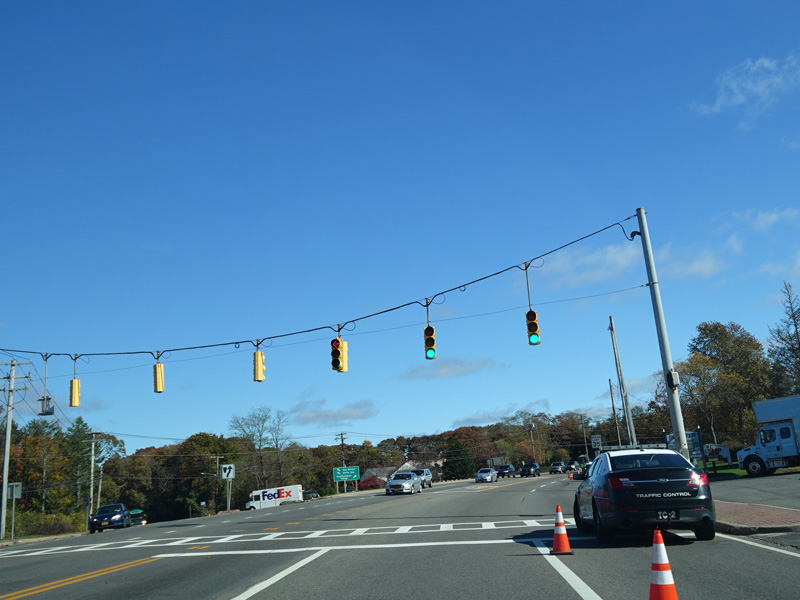
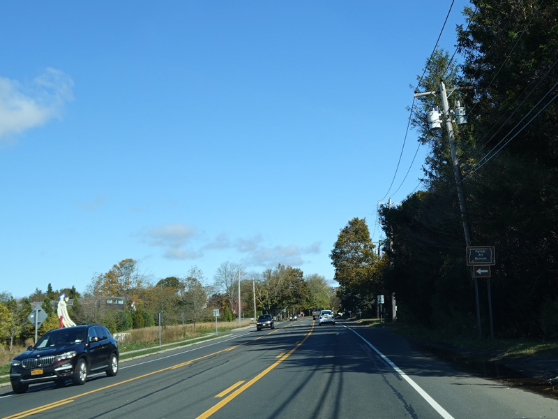
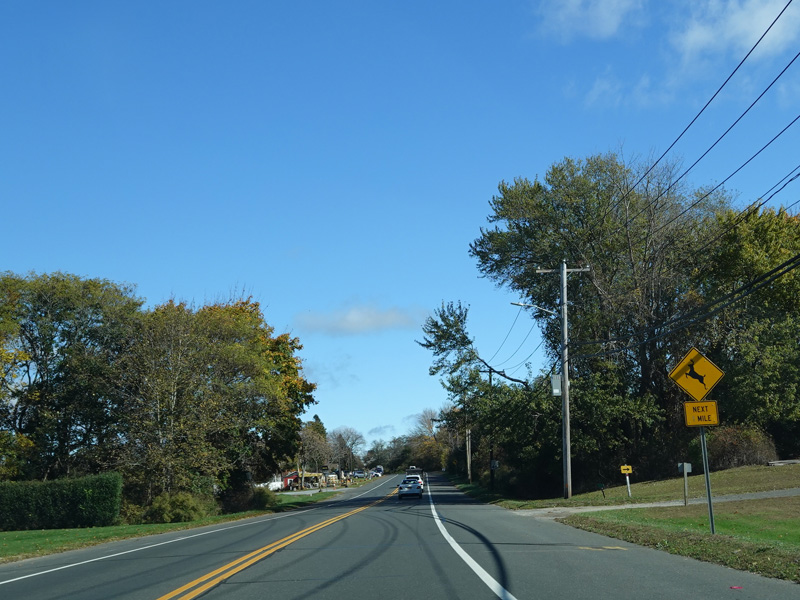
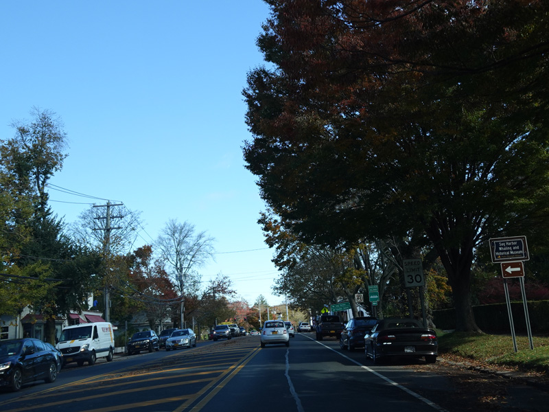
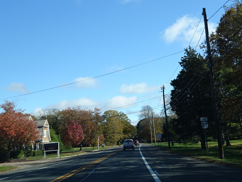
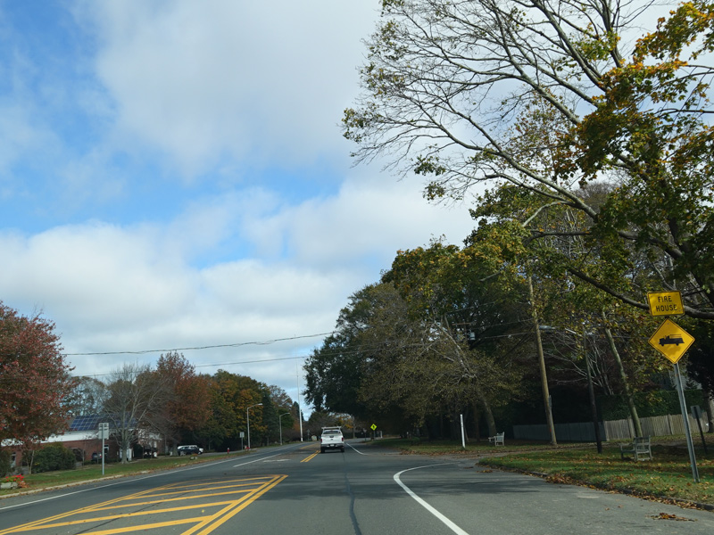
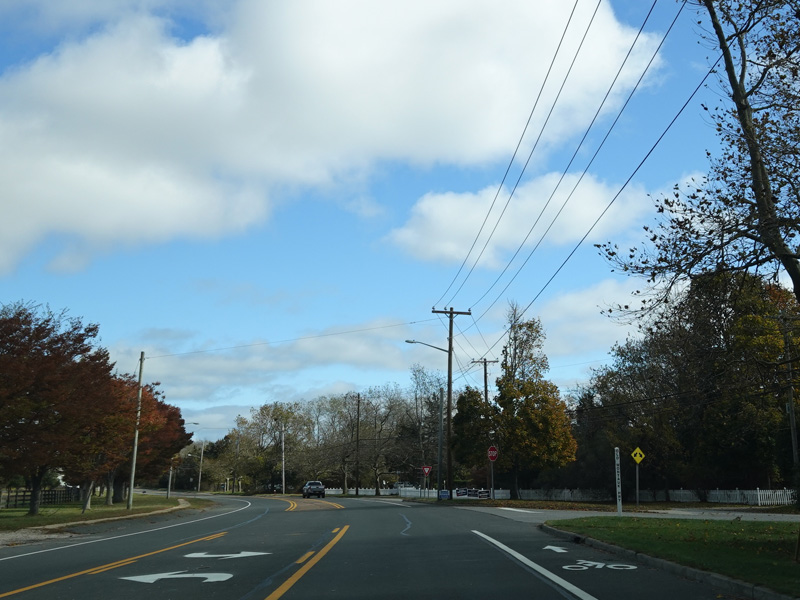
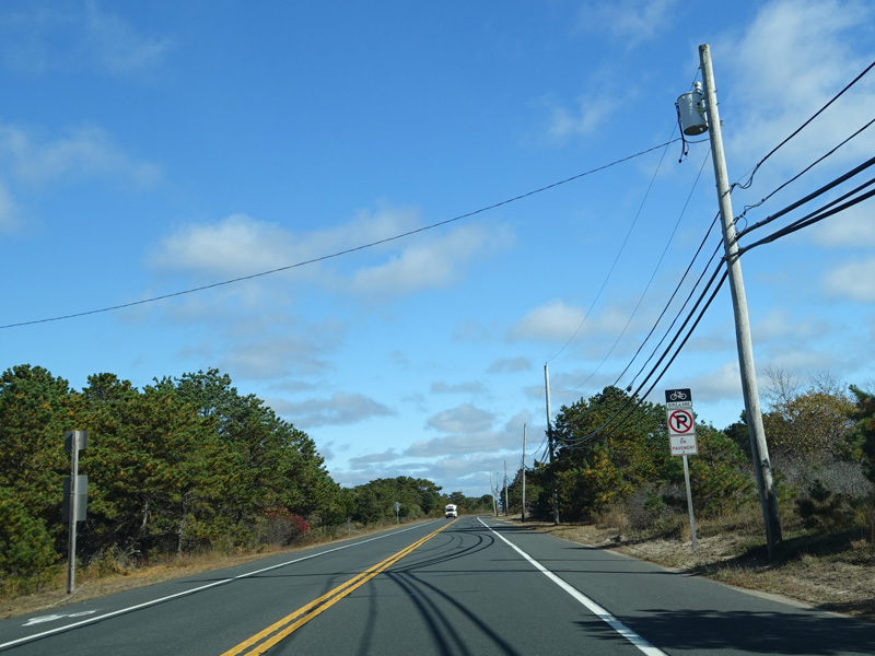
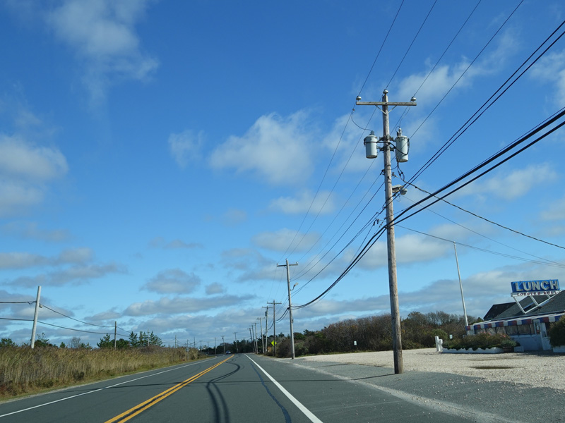
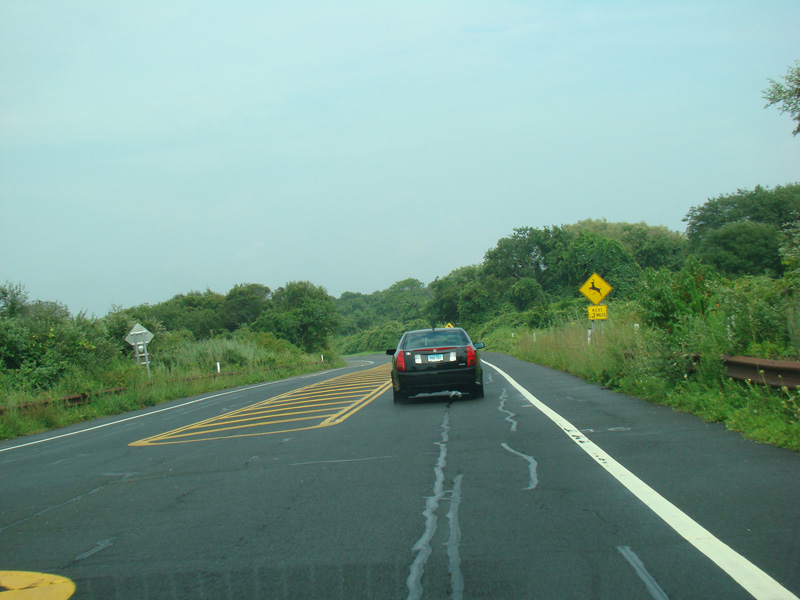
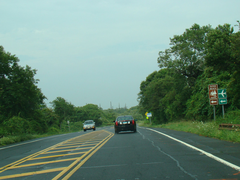
Exit 66 is for North Road (CR 39). It is the last exit. Signs direct motorists who wish to head east on CR 39 to continue straight ahead to the end of the expressway.
Photos taken October 2019.

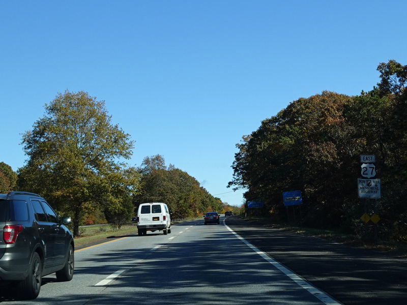
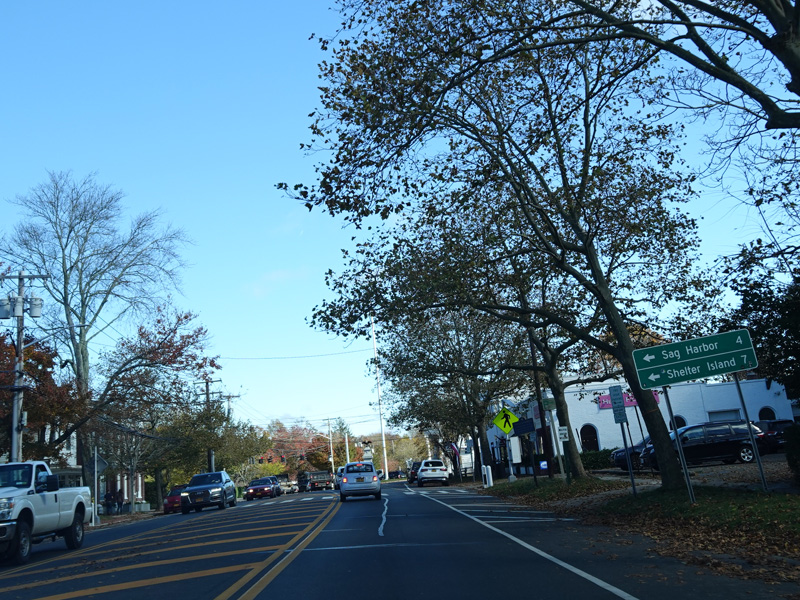
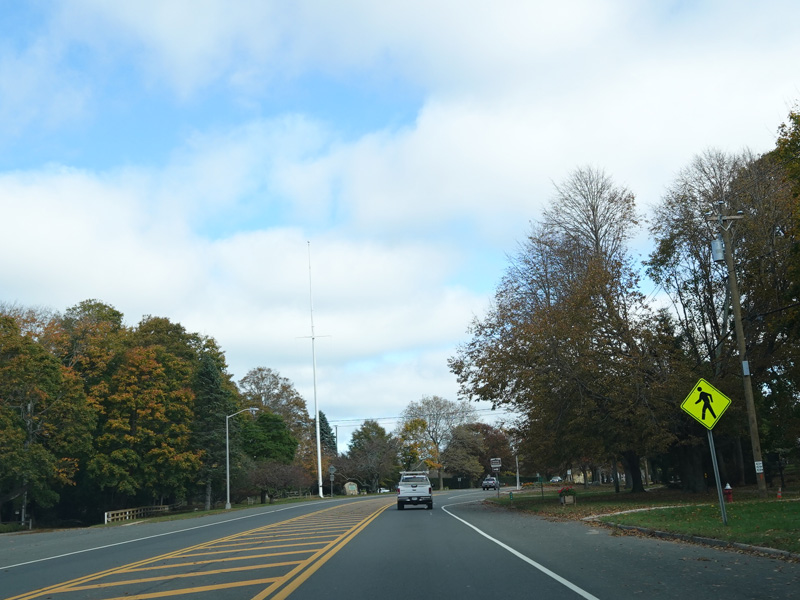
After the exit, Sunrise Highway ends. NY 27 is multiplexed with CR 39 along North Road straight ahead. There is no merge. Motorists heading east on CR 39 are forced to turn around here and must backtrack and get on the expressway at exit 66 if they wish to continue east.
Photos taken October 2019.
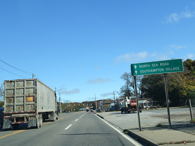
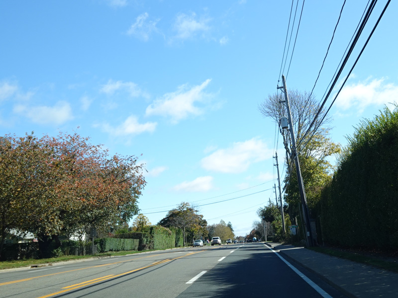
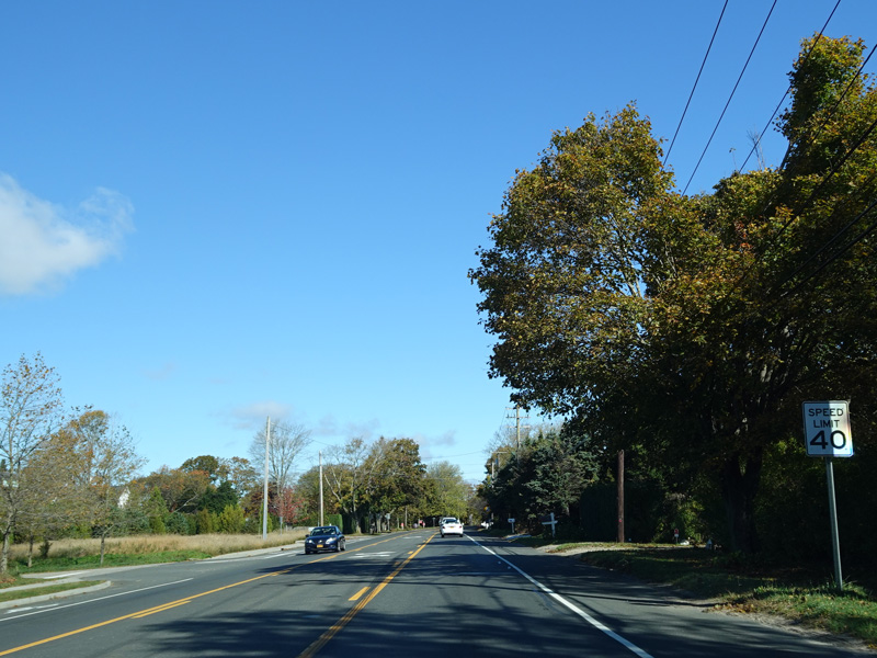
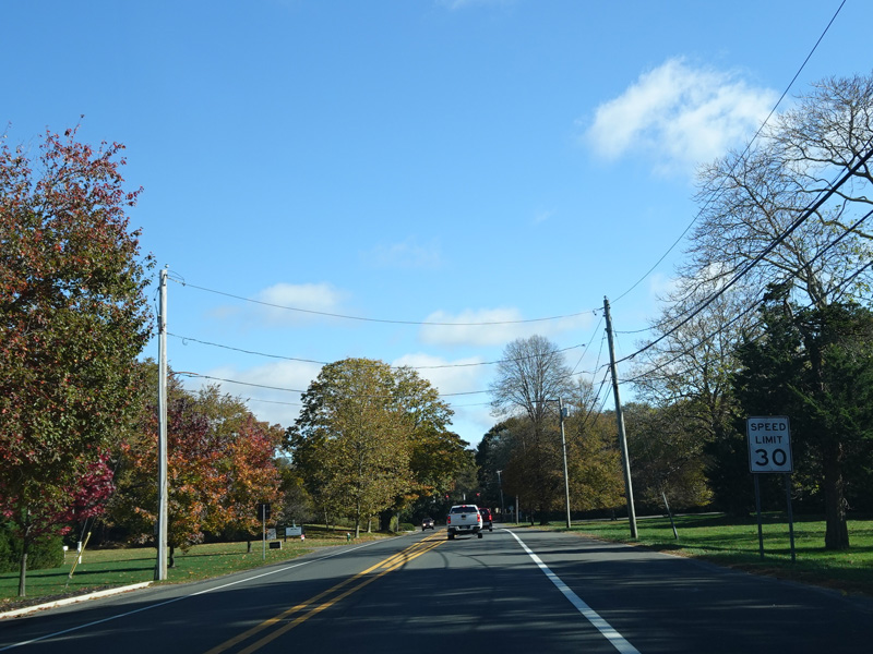
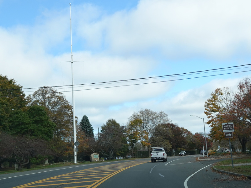
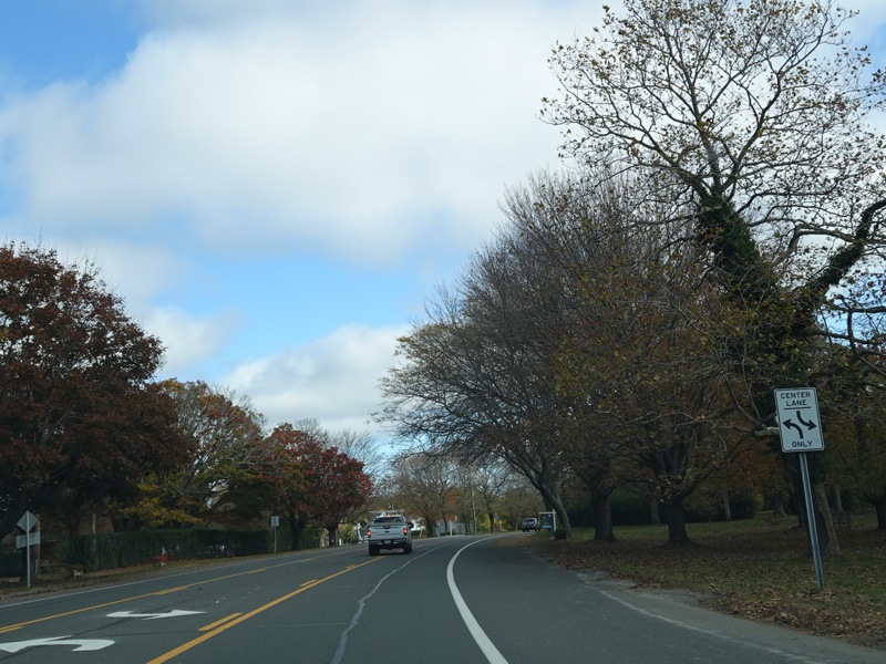
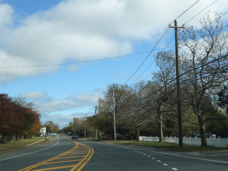
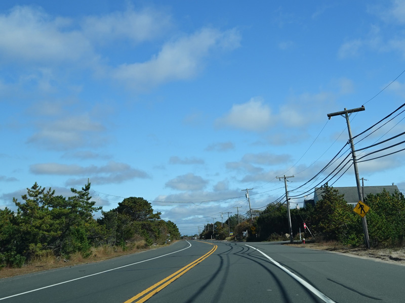
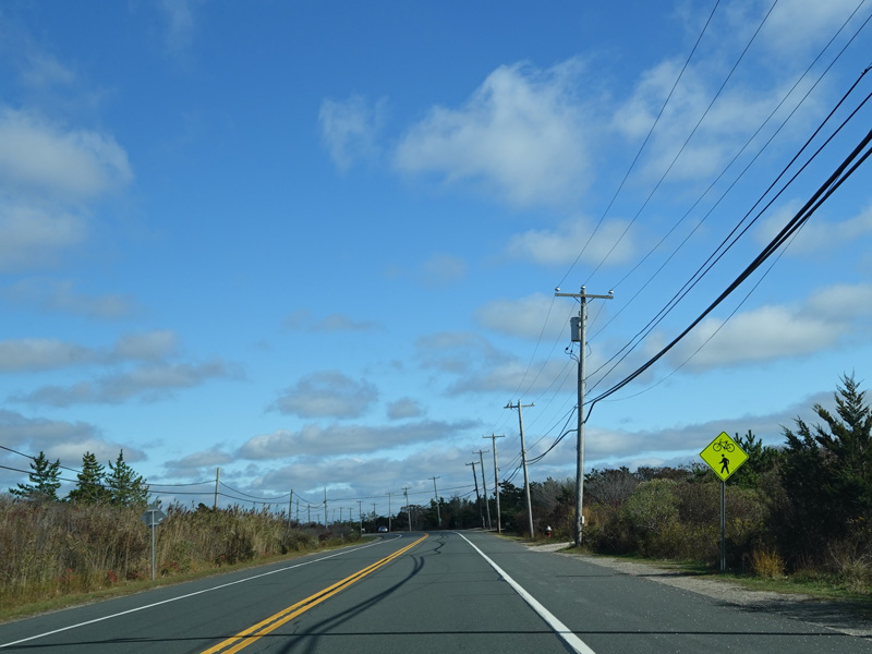
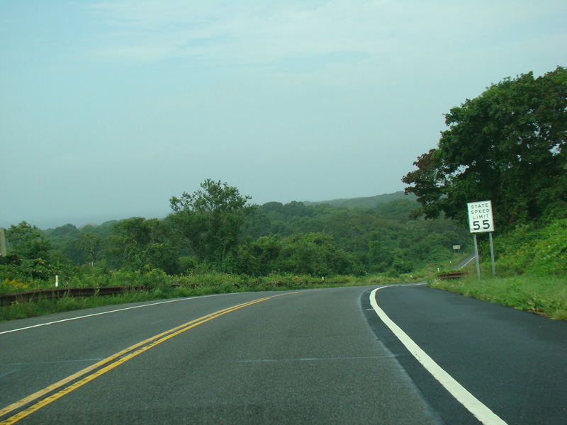
North Road runs east through the area north of Southampton village. When these pictures were taken, it had one eastbound lane, two westbound lanes, and a central turning lane. It was widened in 2008 and now has two eastbound lanes and two westbound lanes.
Photos taken October 2019.
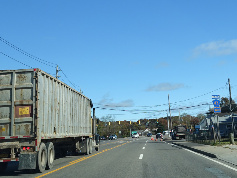
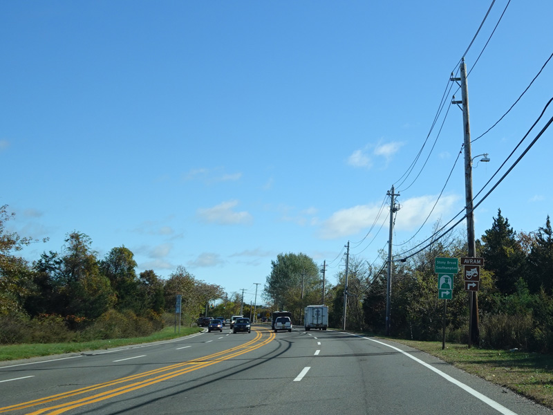
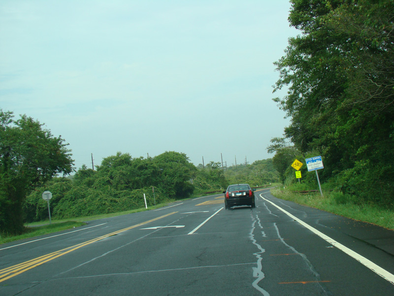
Sandy Hollow Road (CR 52) begins here on the left.
Photos taken October 2019.
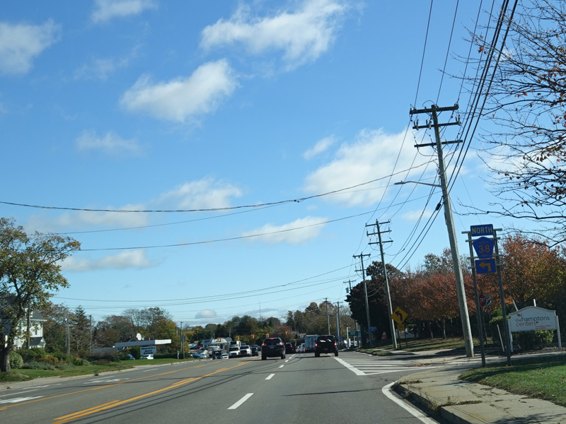
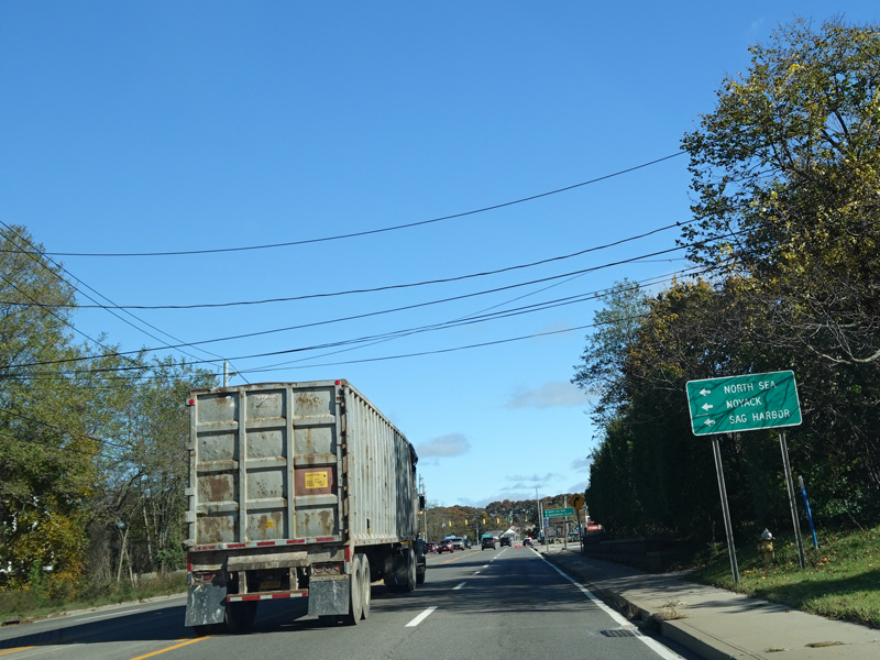
There is a traffic light at North Sea Road (CR 38). Turn left to go north.
Photos taken October 2019.

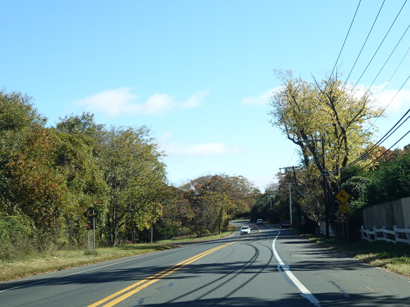
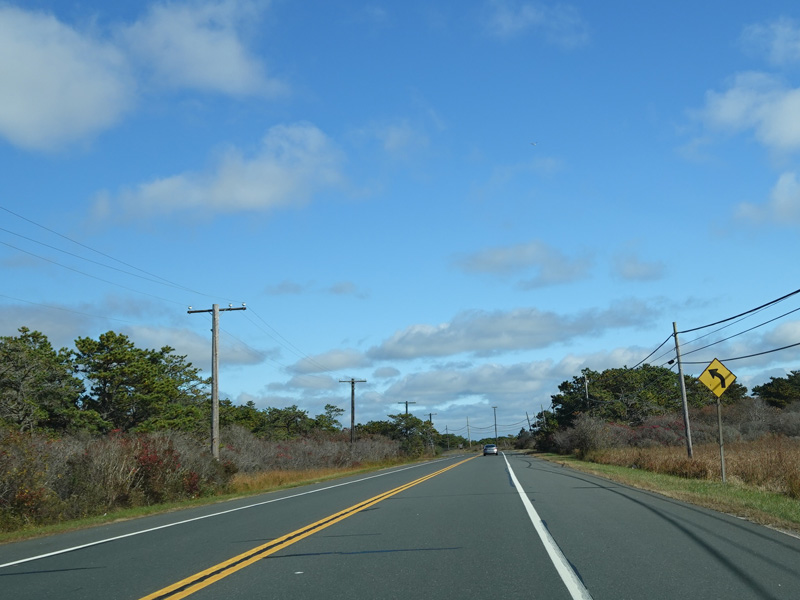
North Road changes name and number to become Flying Point Road (CR 39A). There is no signage to indicate exactly where this happens.
Photos taken October 2019.
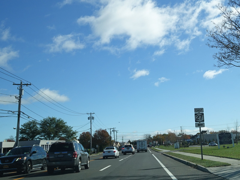

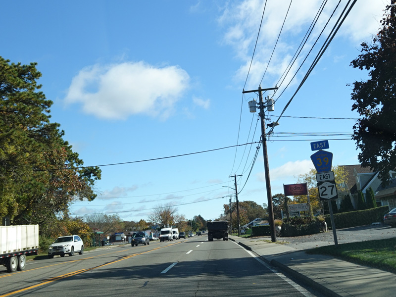
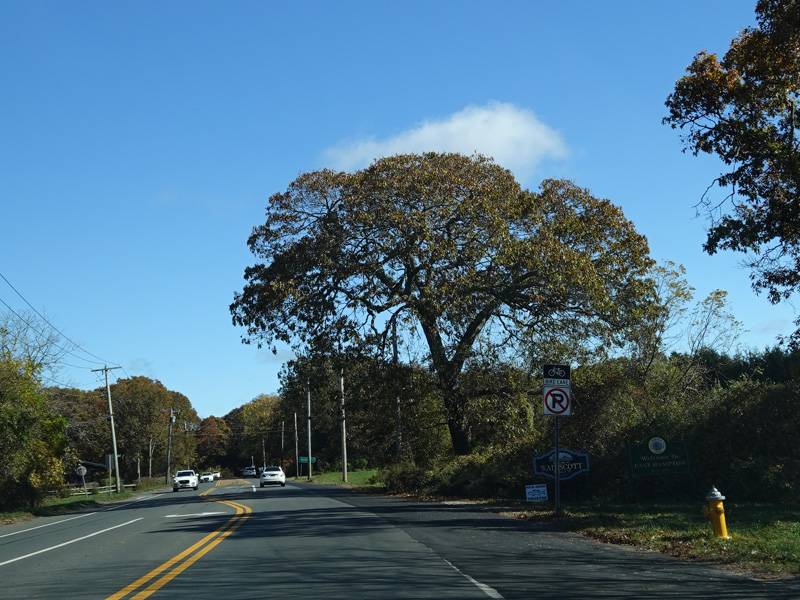
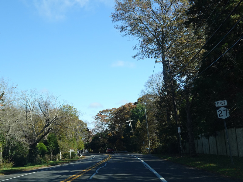
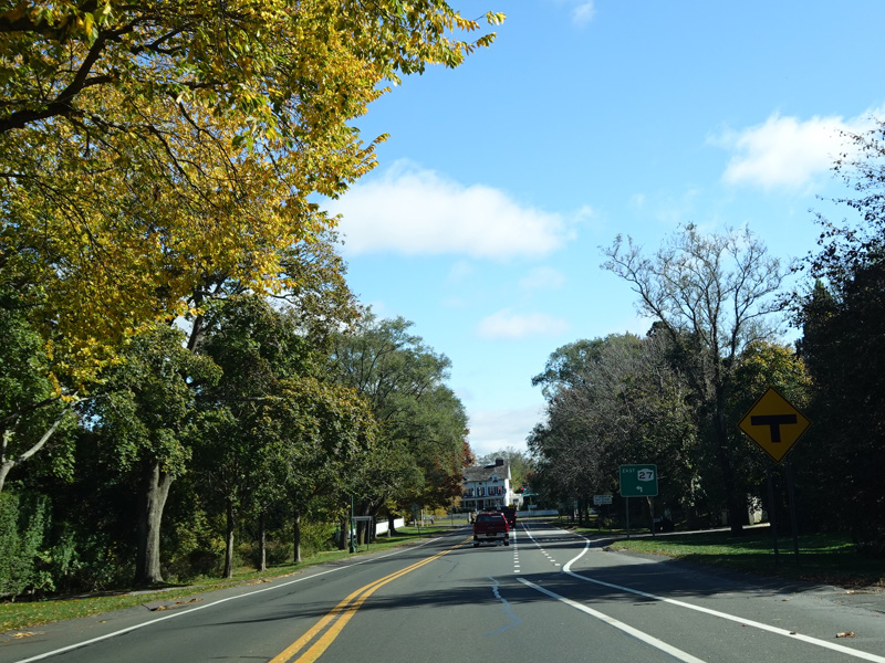
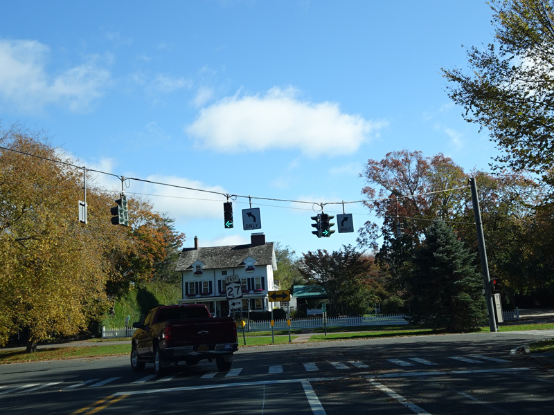
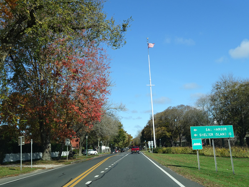
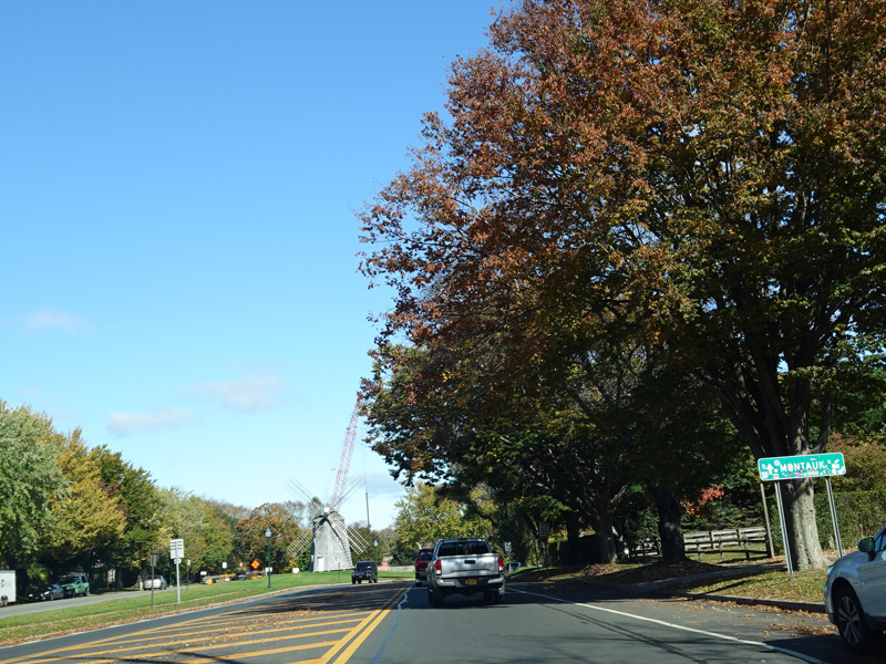
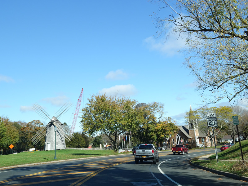
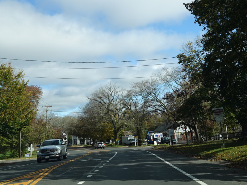
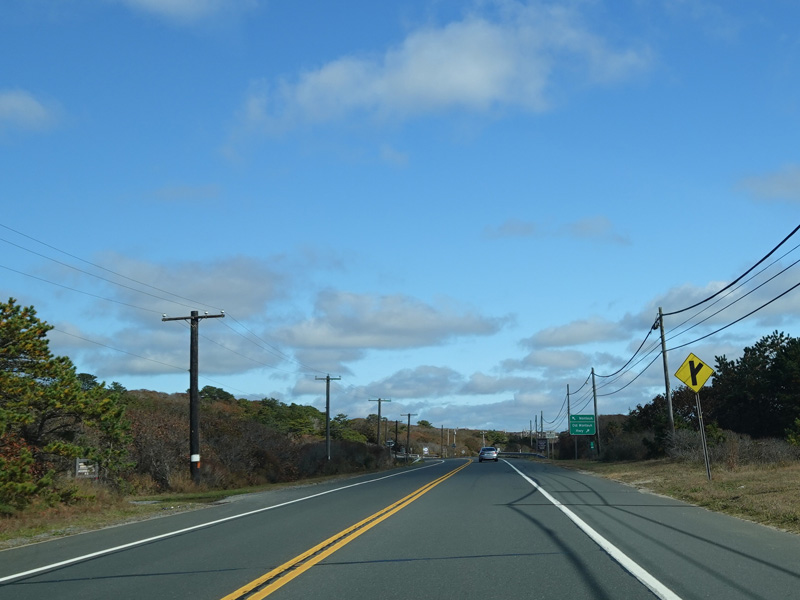
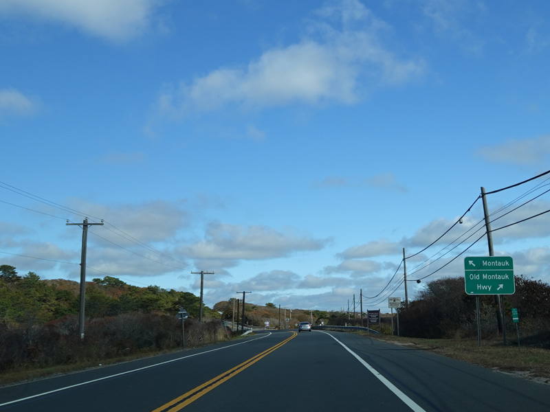
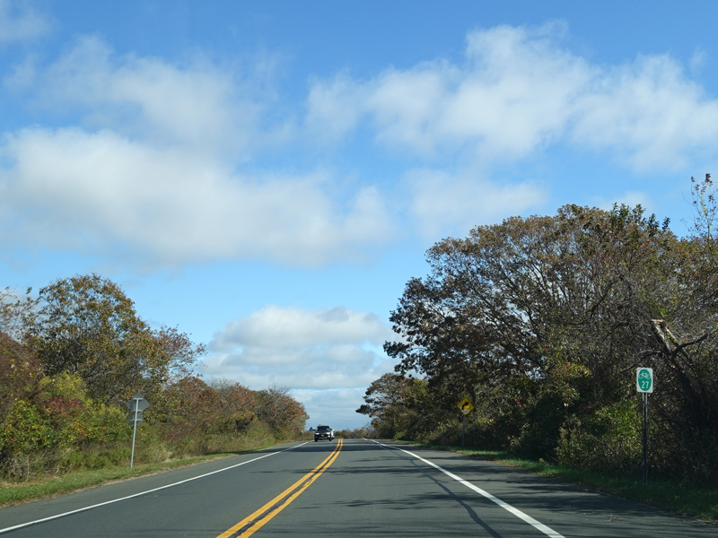
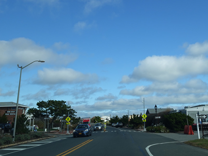
CR 39A ends at a traffic light at Montauk Highway. Turn left to stay on NY 27. Flying Point Road continues straight ahead as a local street.
Photos taken October 2019.
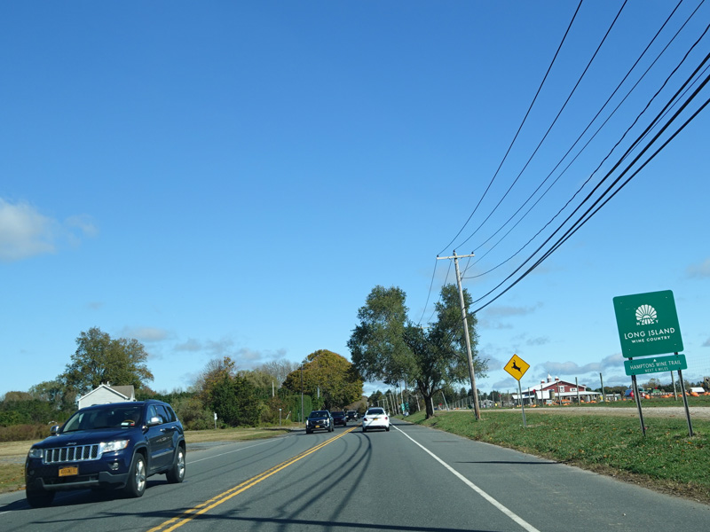
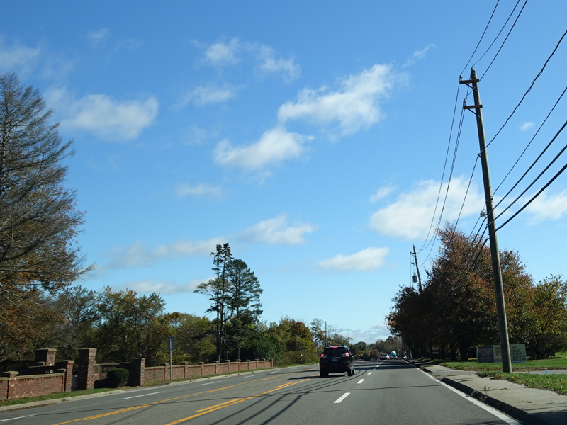
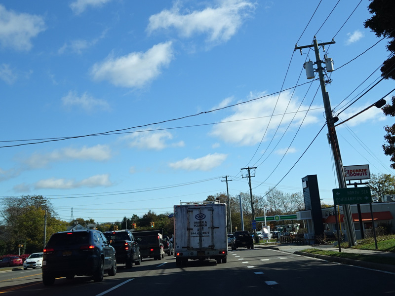
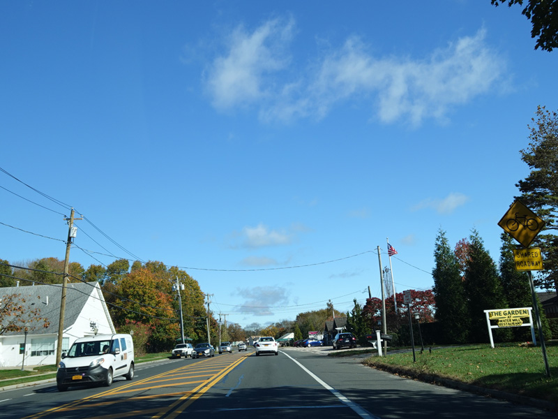
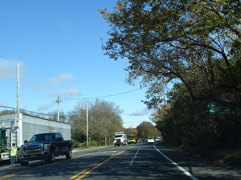
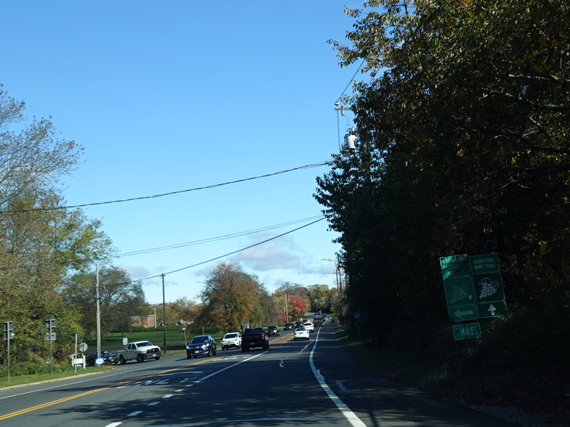
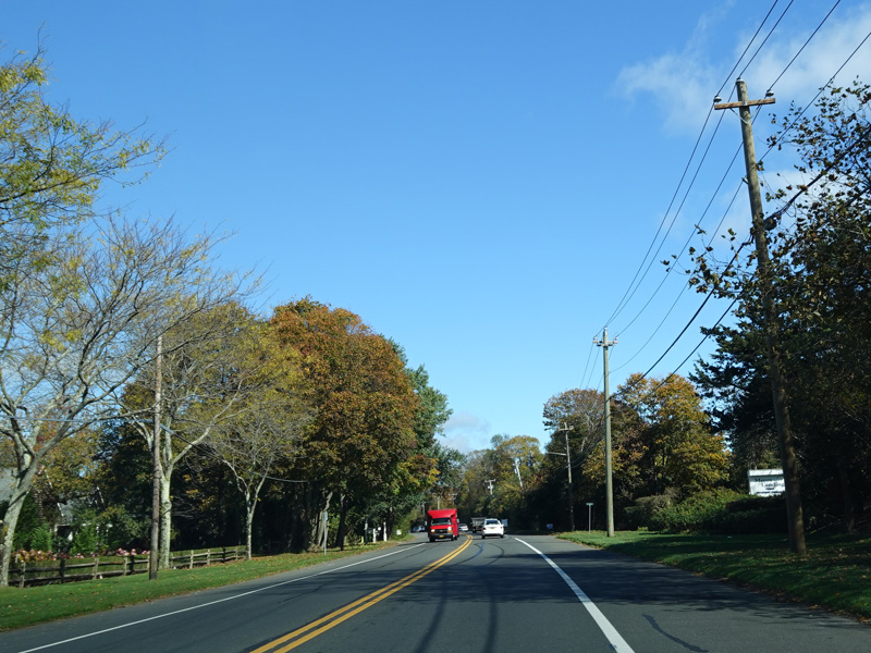
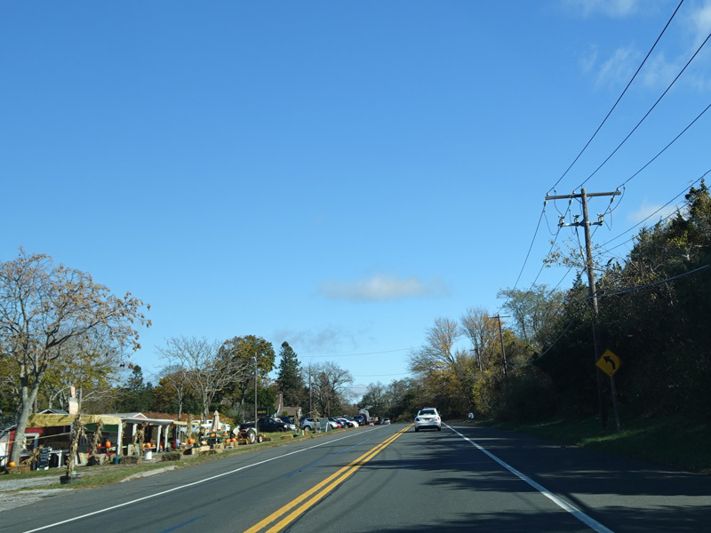
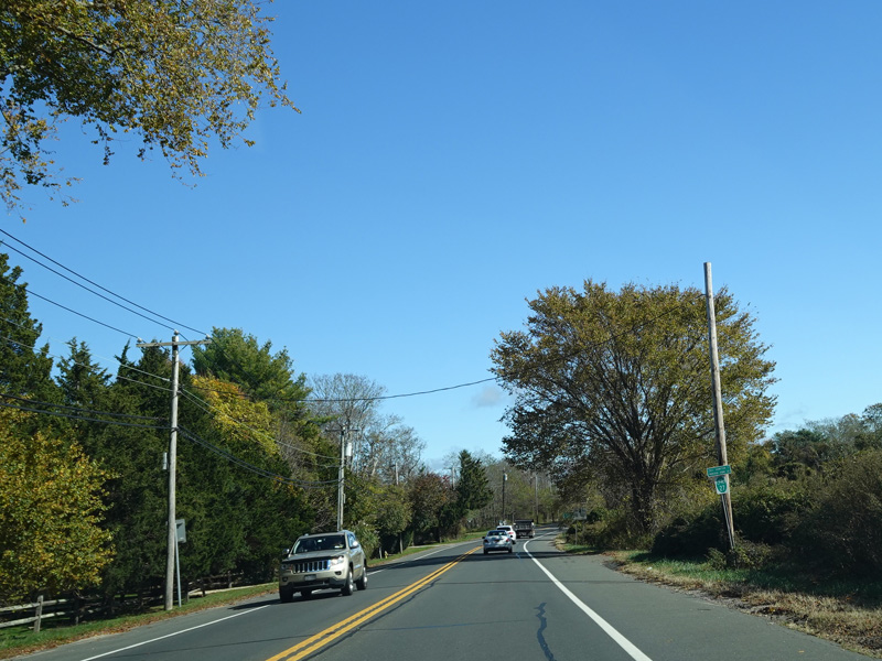
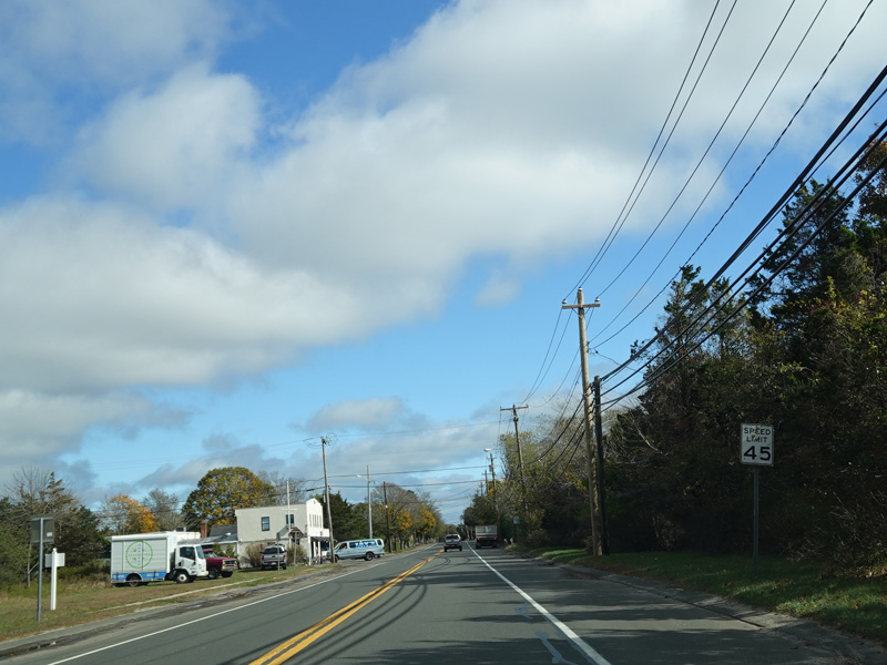
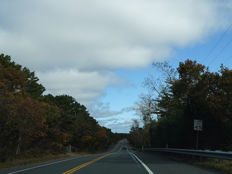
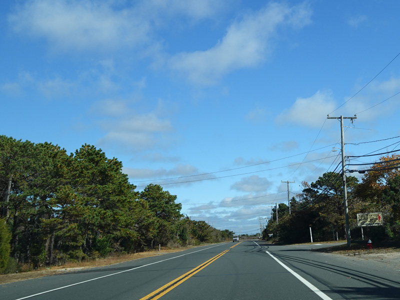
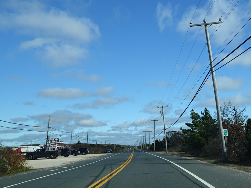
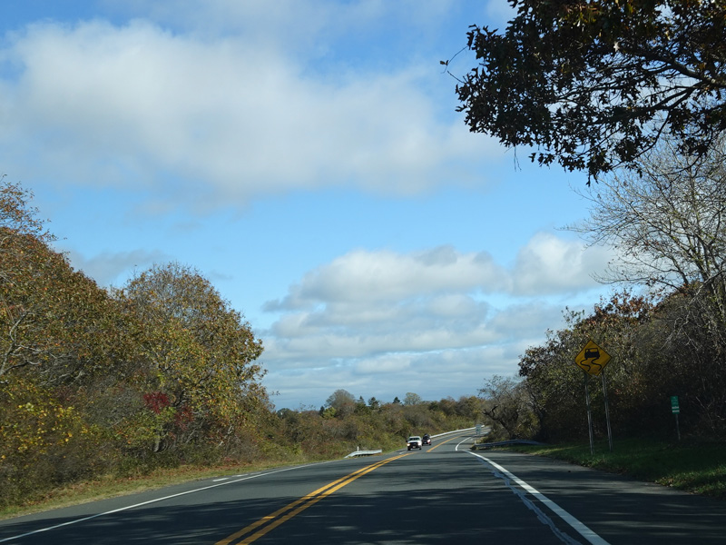
Montauk Highway runs east as a two-lane undivided road. There are some winery signs here, although most of the Long Island wineries are on the North Fork.
Photos taken October 2019.
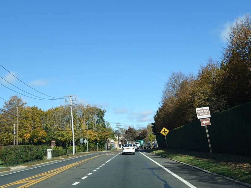
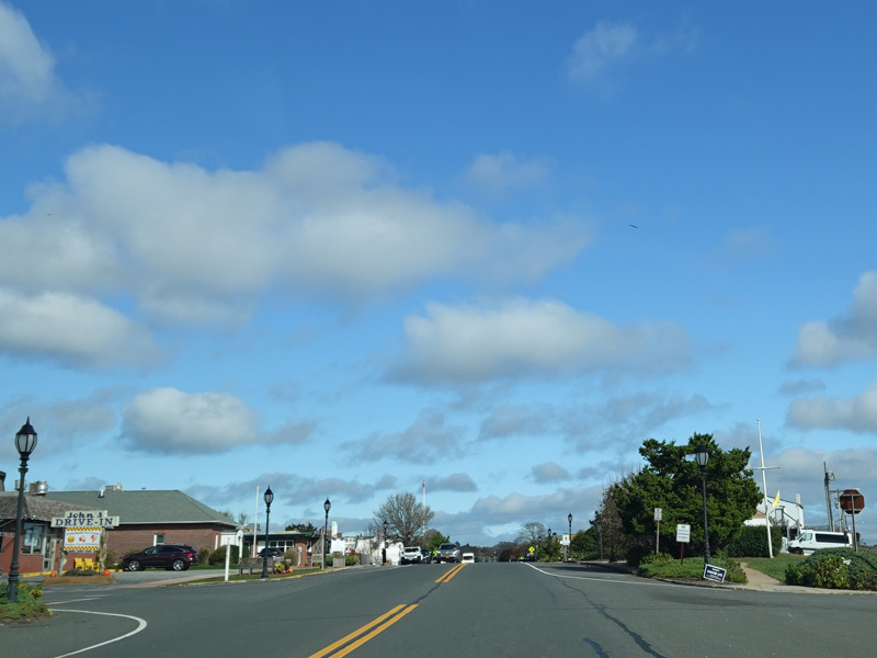
Montauk Highway runs through Water Mill.
Photos taken October 2019.
Scuttle Hole Road begins on the left.
Photos taken October 2019.
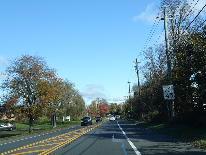
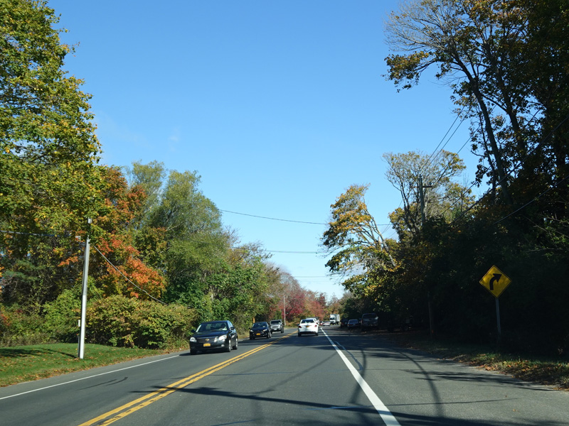
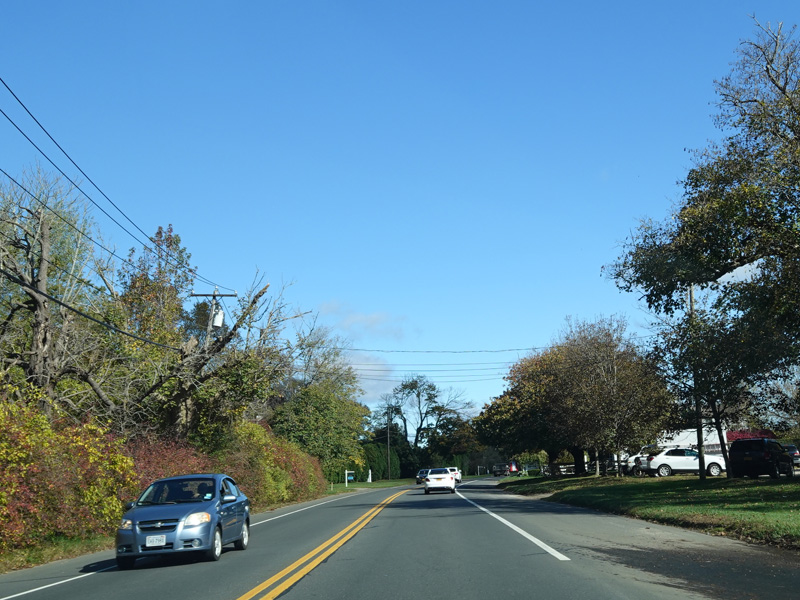
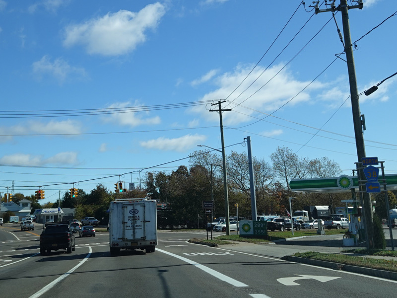
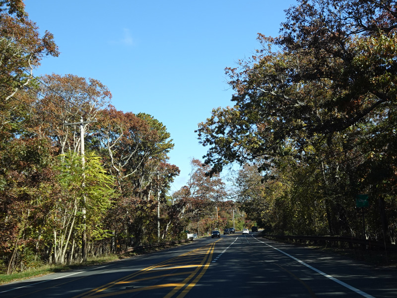
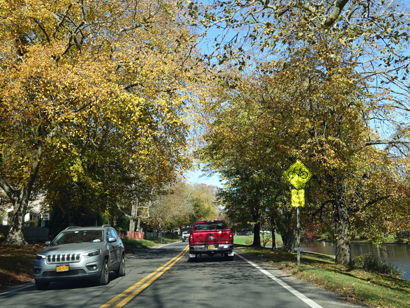
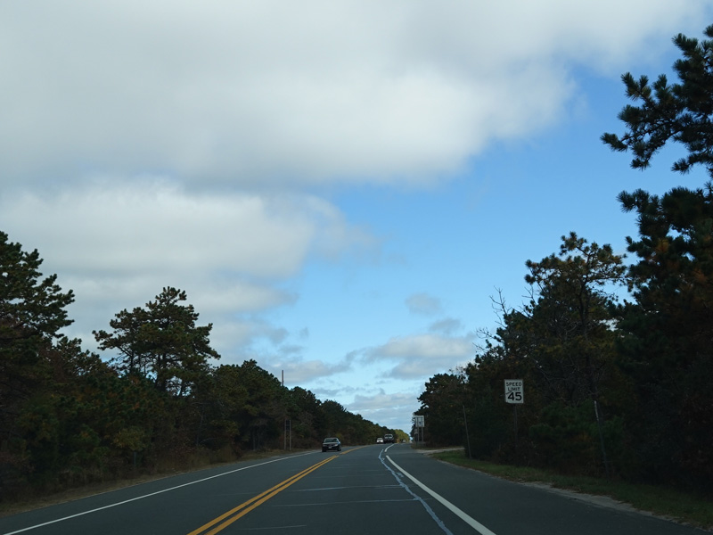
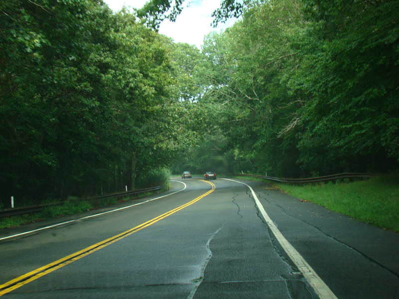
Montauk Highway continues to the east.
Photos taken October 2019.

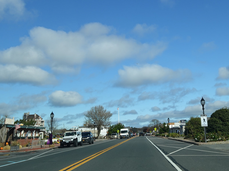
Montauk Highway runs through Bridgehampton.
Photos taken October 2019.
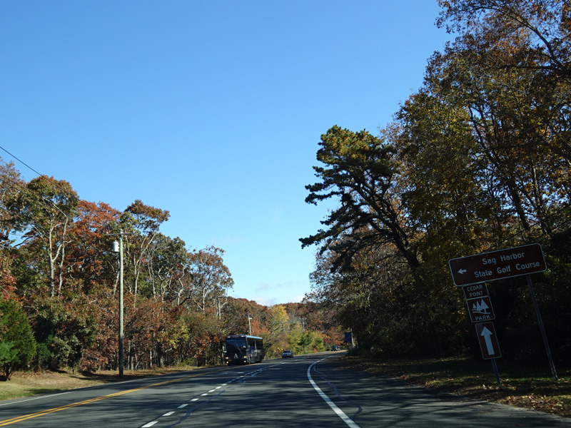
Bridgehampton-Sag Harbor Turnpike (CR 79) begins on the left at a traffic light. There is no county route signage at this intersection.
Photos taken October 2019.
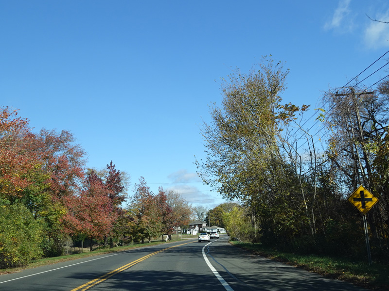
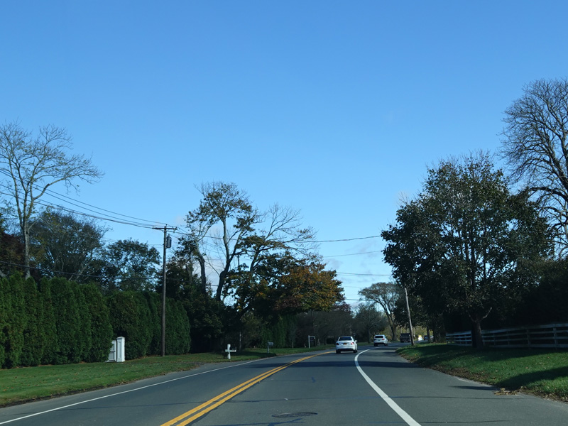
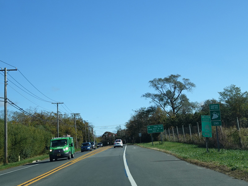
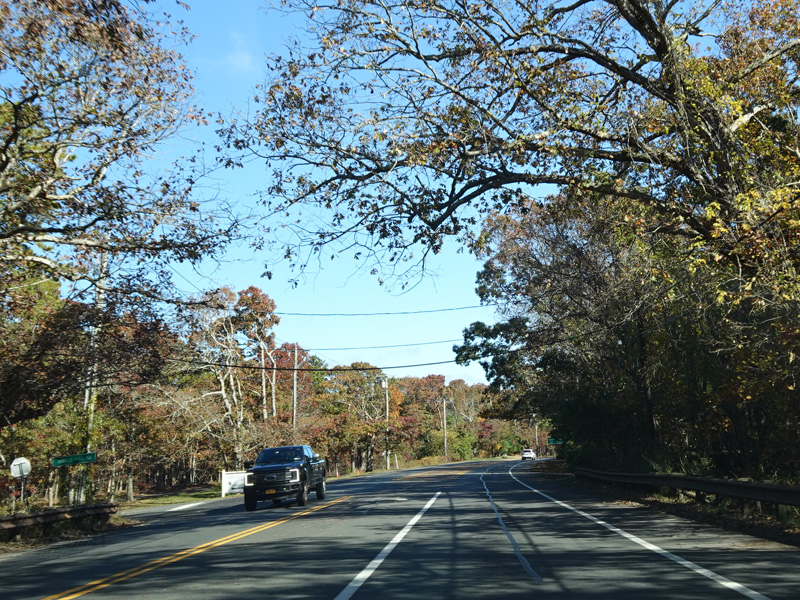
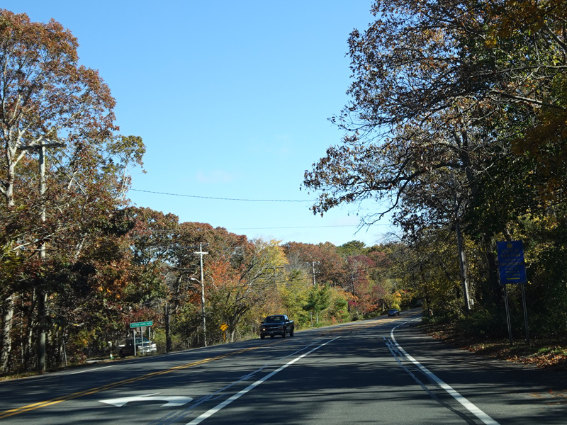
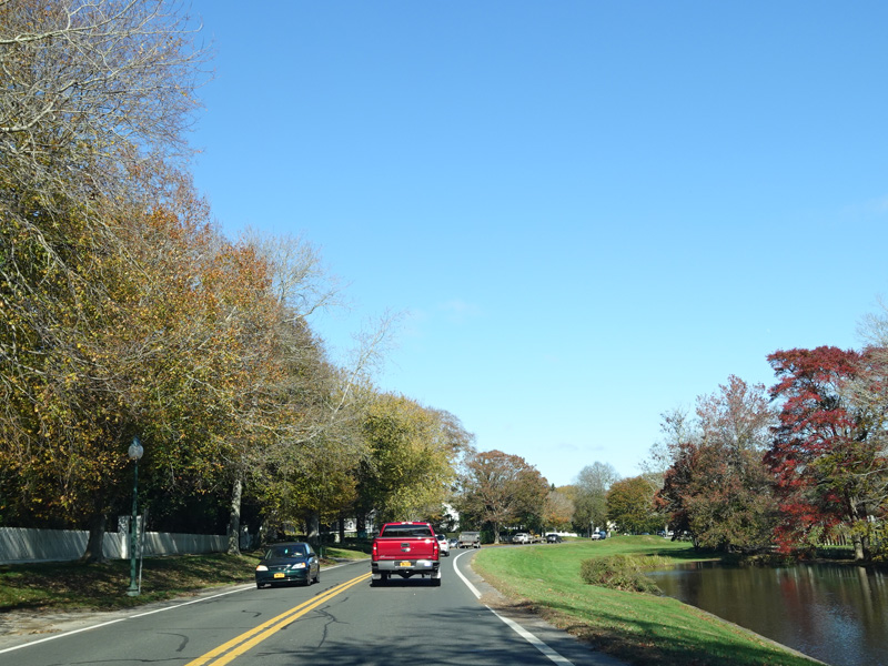
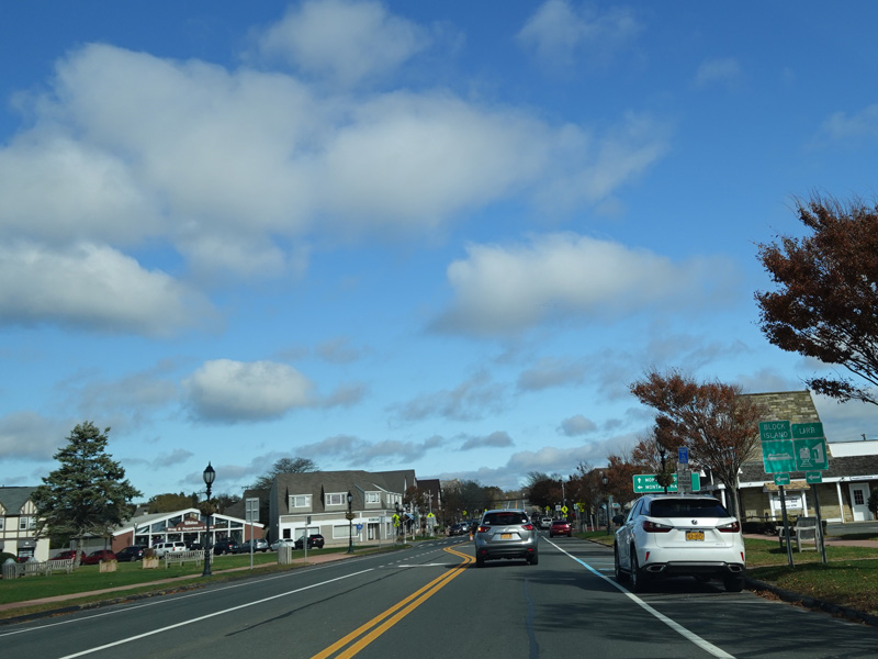
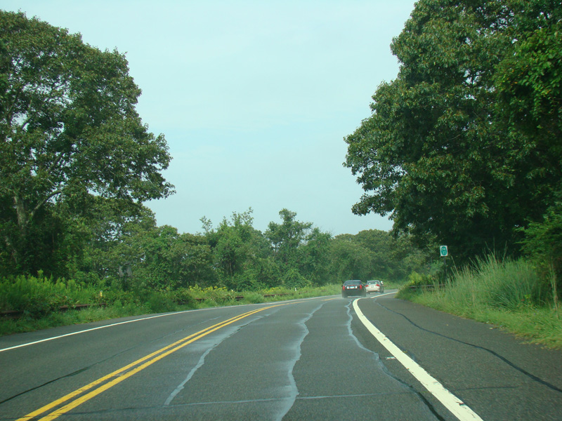
Montauk Highway continues to the east.
Photos taken October 2019.
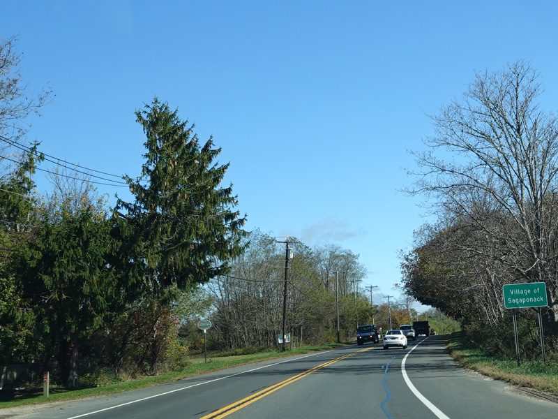
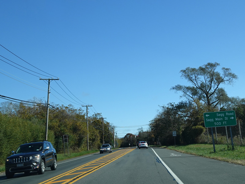

Welcome to the Village of Sagaponack! There is a traffic light at Sagg Road and Sagg Main Street.
Photos taken October 2019.
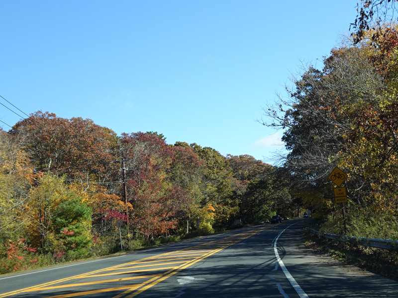
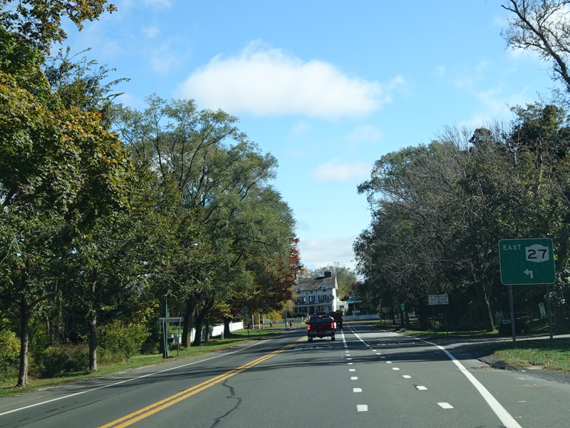
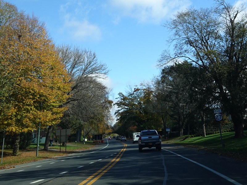
Montauk Highway continues east to the town line.
Photos taken October 2019.
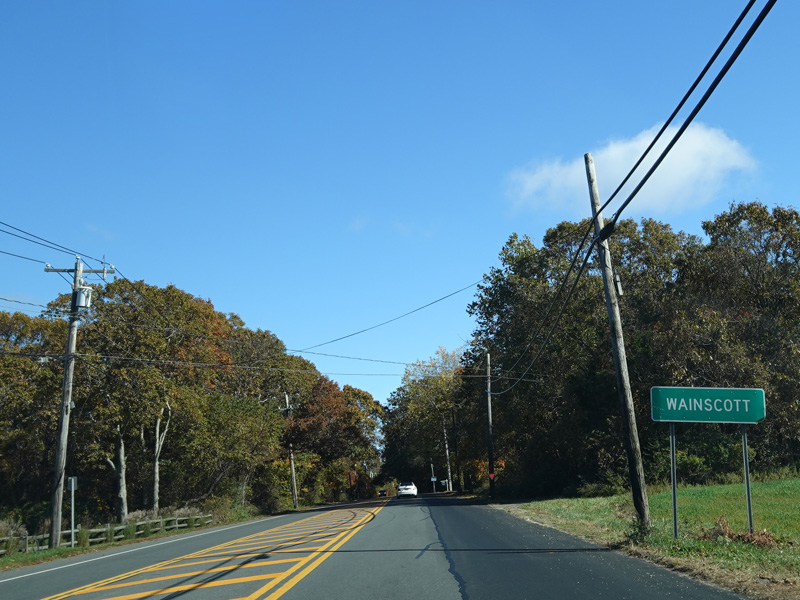
Welcome to the Town of East Hampton! Montauk Highway runs through Wainscott.
Photos taken October 2019.
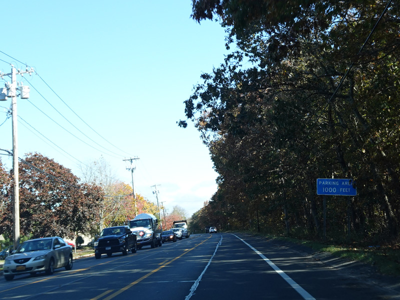
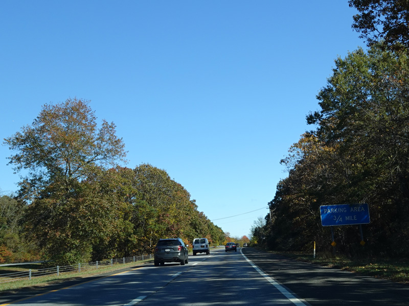
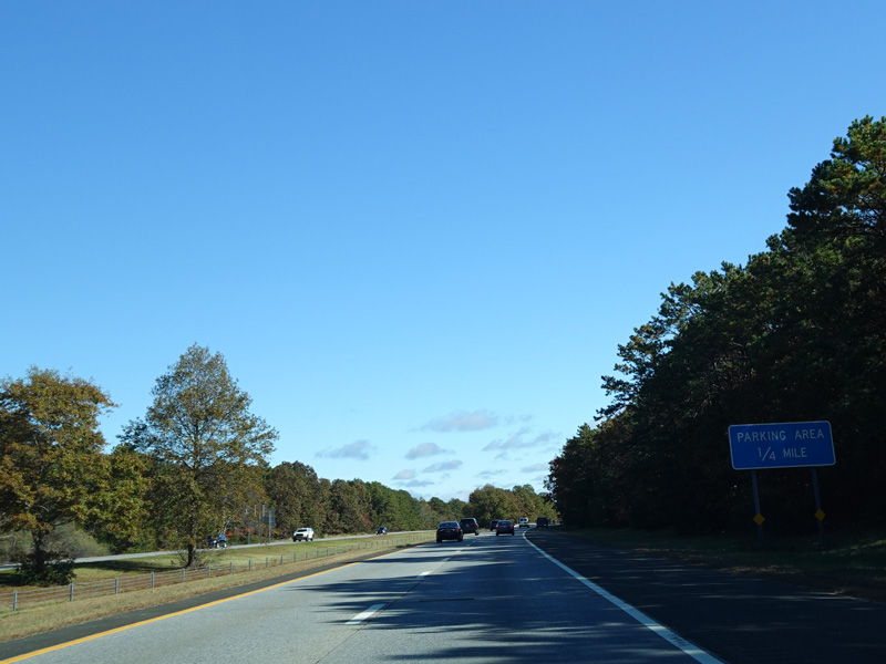
There is a parking area on the right here.
Photos taken October 2019.
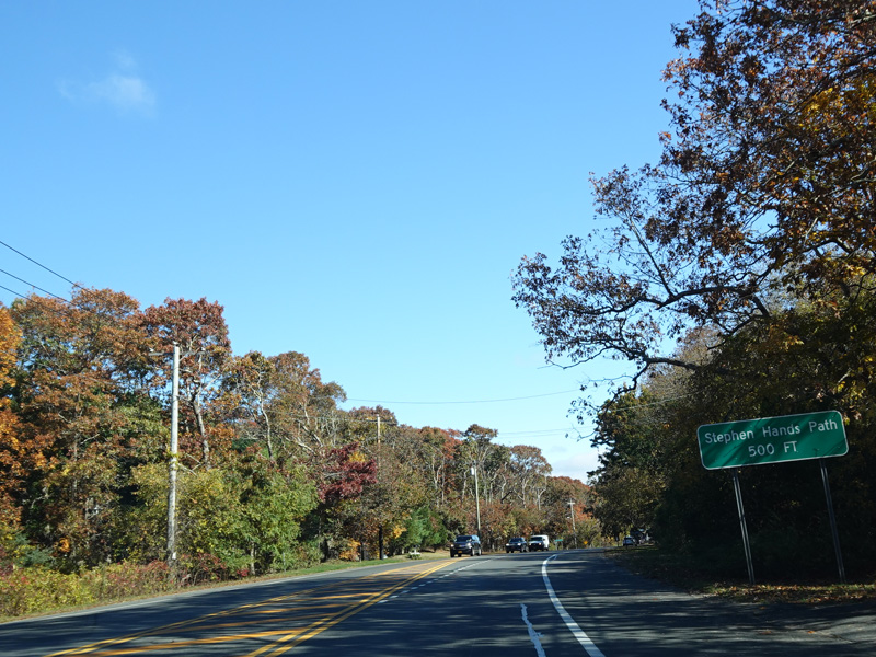
Welcome to the Village of East Hampton! Stephen Hands Path begins on the left.
Photos taken October 2019.
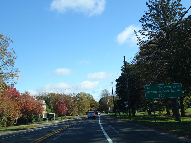
There is a traffic light at Toilsome Lane and Baiting Hollow Road.
Photos taken October 2019.
Turn left at this traffic light to stay on Montauk Highway.
Photos taken October 2019.
There is a pond on the right side of Montauk Highway here.
Photos taken October 2019.
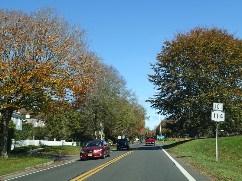
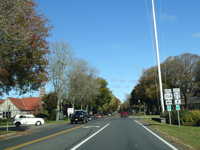
Buell Lane (NY 114) begins on the left at an uncontrolled intersection.
Photos taken October 2019.
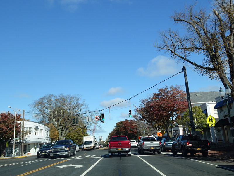
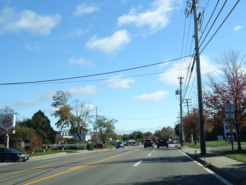
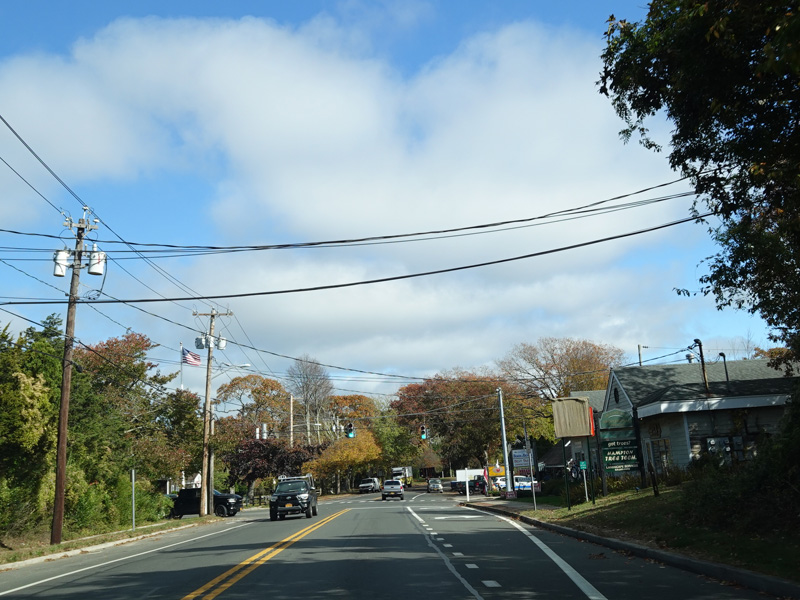
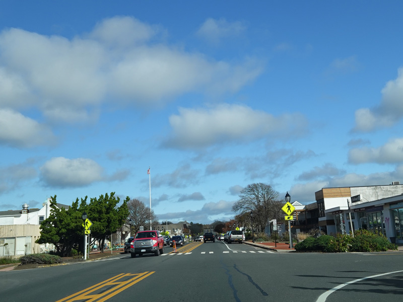
In East Hampton, Montauk Highway widens to four lanes. There is a traffic light at Newtown Lane.
Photos taken October 2019.
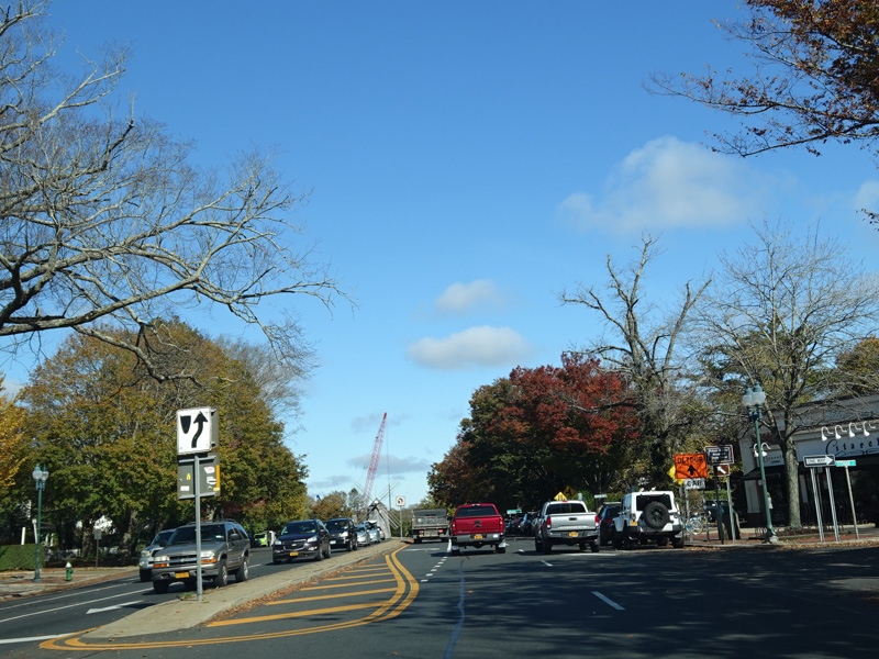

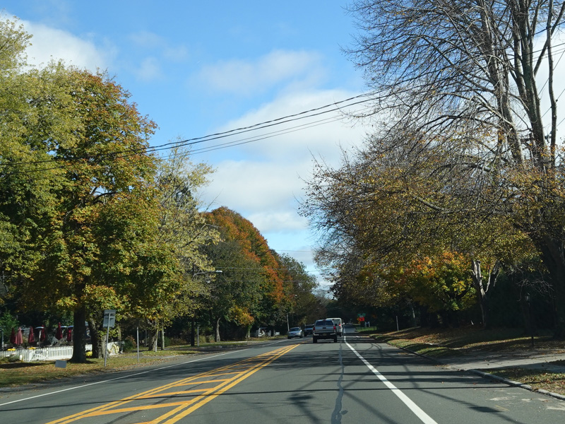
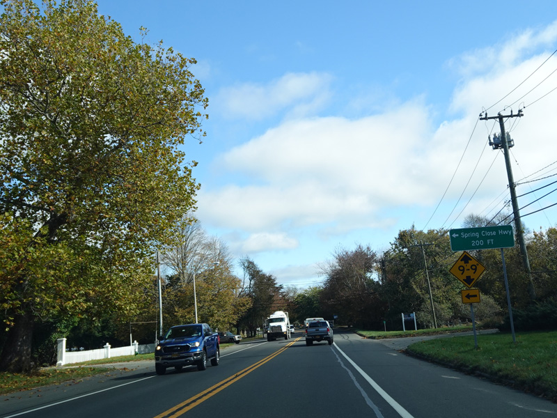
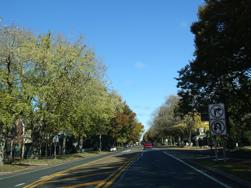
Heading out of town, Montauk Highway narrows down to two lanes. Spring Close Highway begins on the left.
Photos taken October 2019.
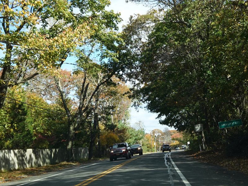
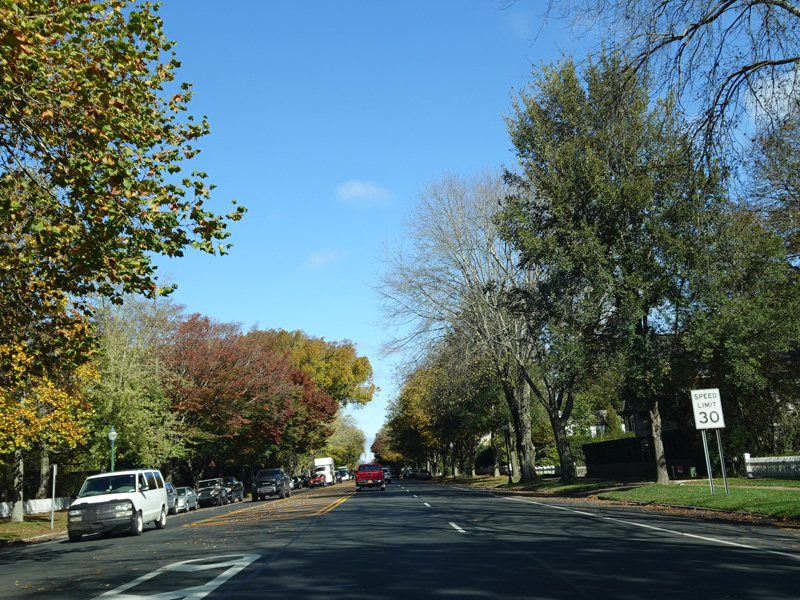
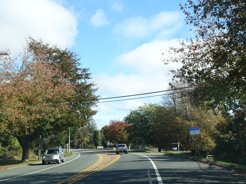
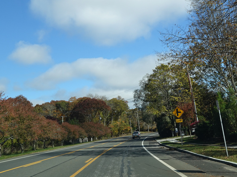
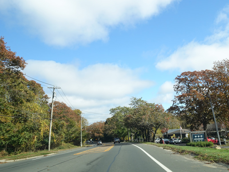
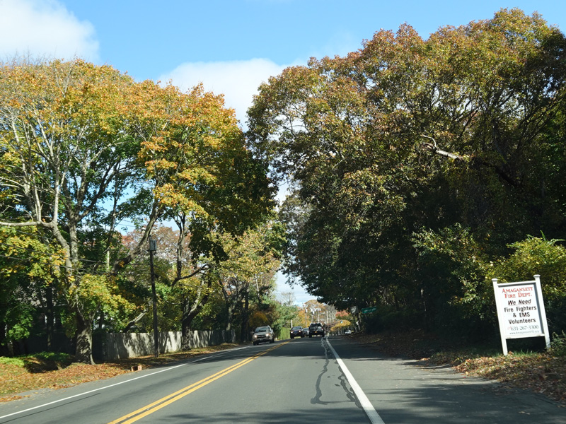
Montauk Highway runs through Amagansett.
Photos taken October 2019.
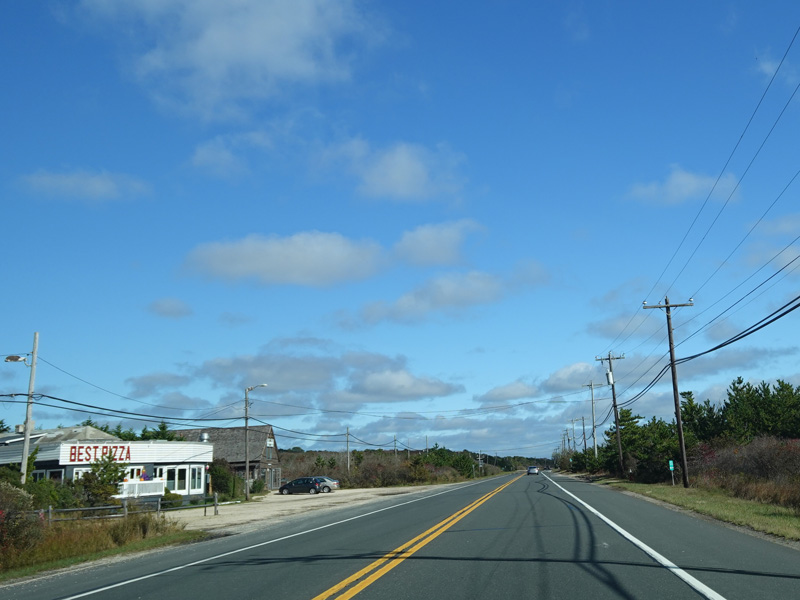
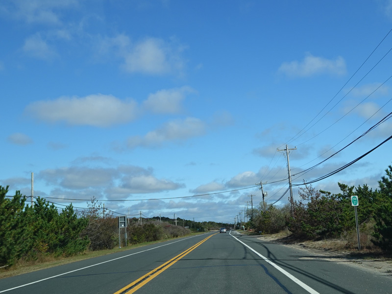
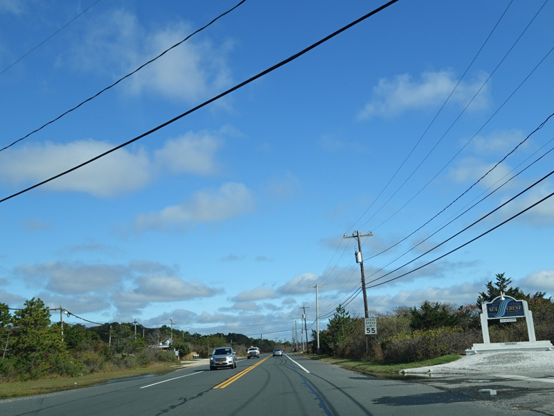
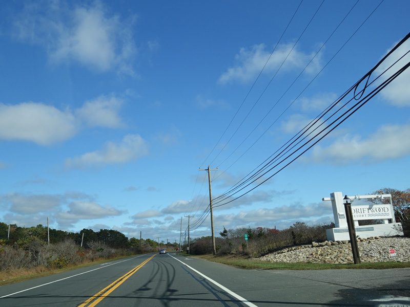
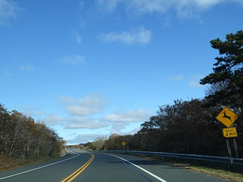
The area between Amagansett and Montauk is called Napeague. There are a number of resorts in this area.
Photos taken October 2019.
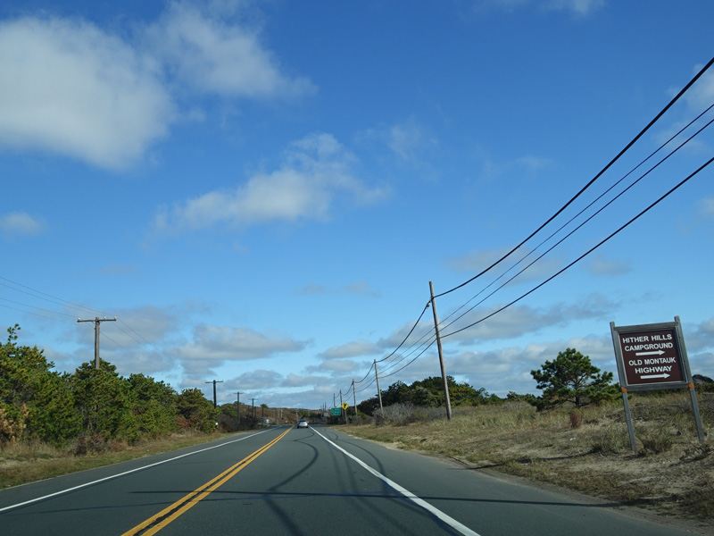
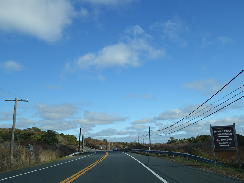
Old Montauk Highway begins on the right here.
Photos taken October 2019.
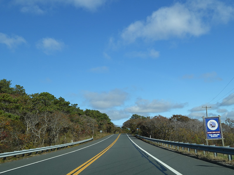
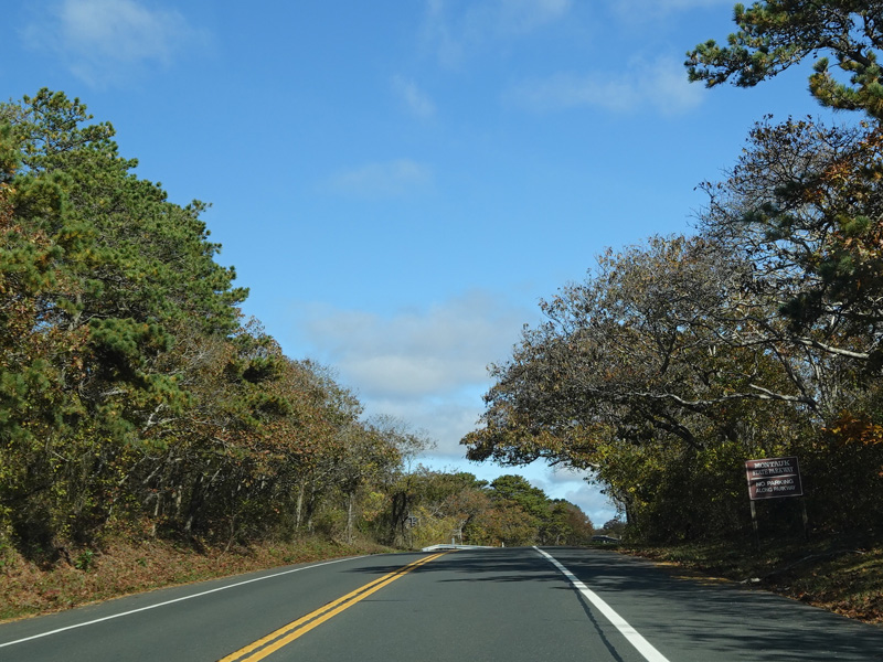
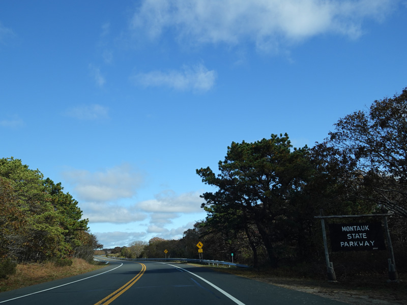
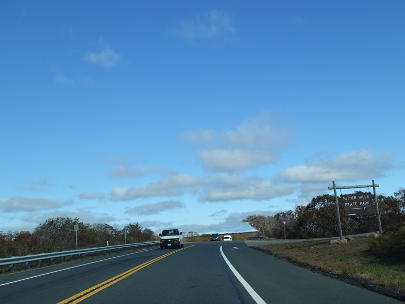
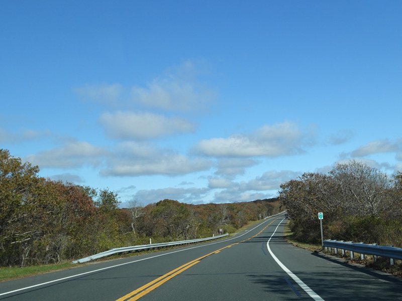
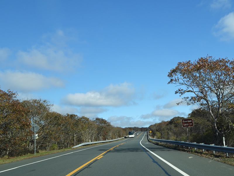
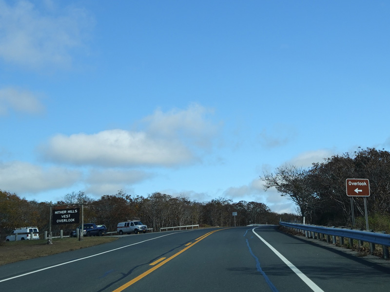
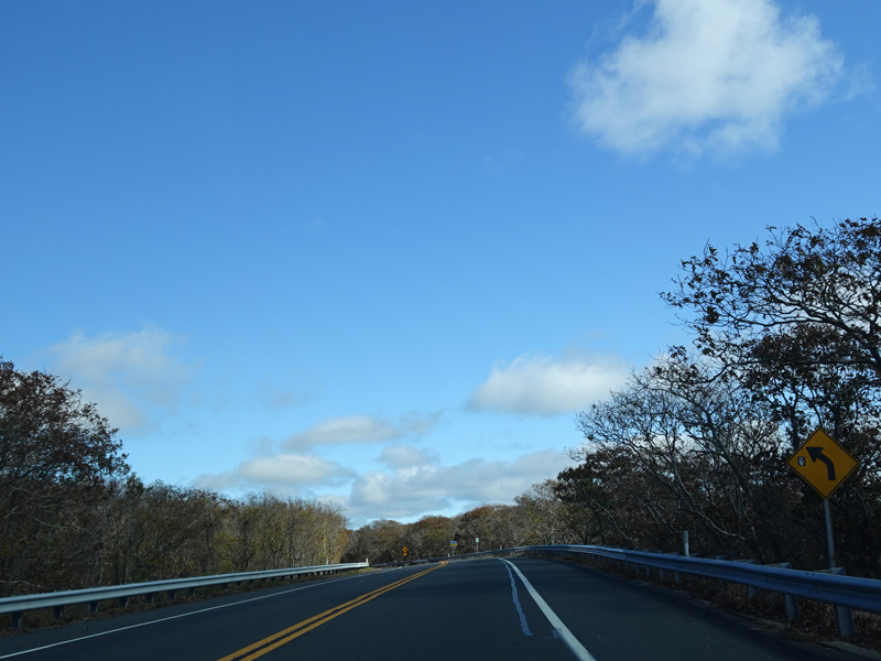
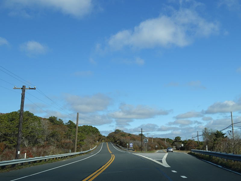
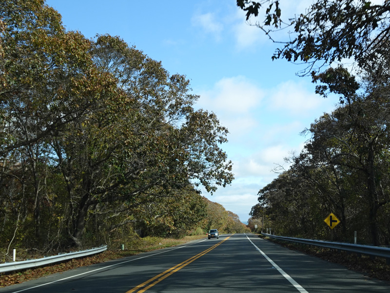
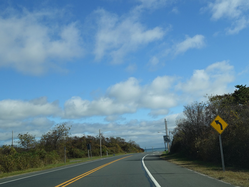
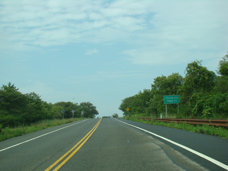
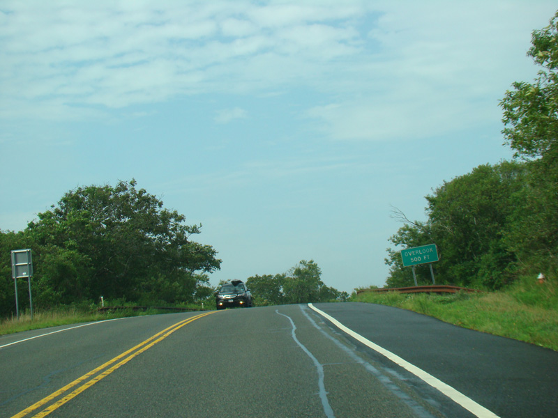
The section of Montauk Highway from here until the end is known as the Montauk State Parkway. Despite what the name might imply, it is a two-lane undivided road with no grade separations. The parkway passes through Hither Hills State Park. There is a scenic overlook on the left.
Photos taken October 2019.
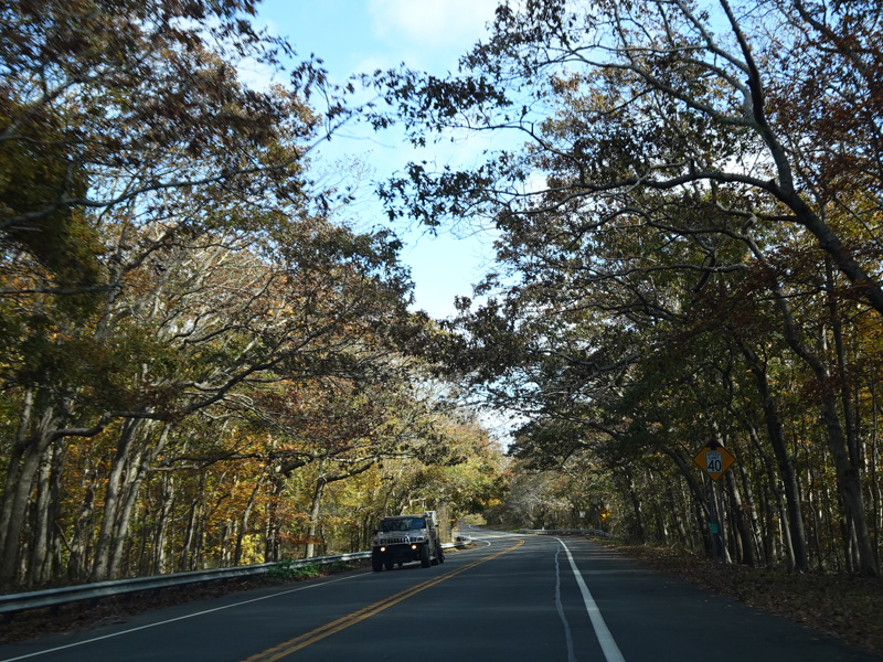
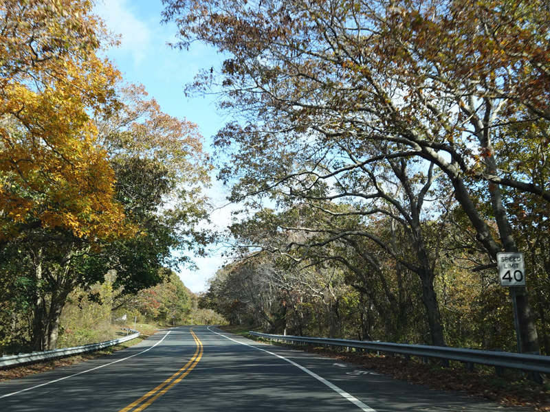
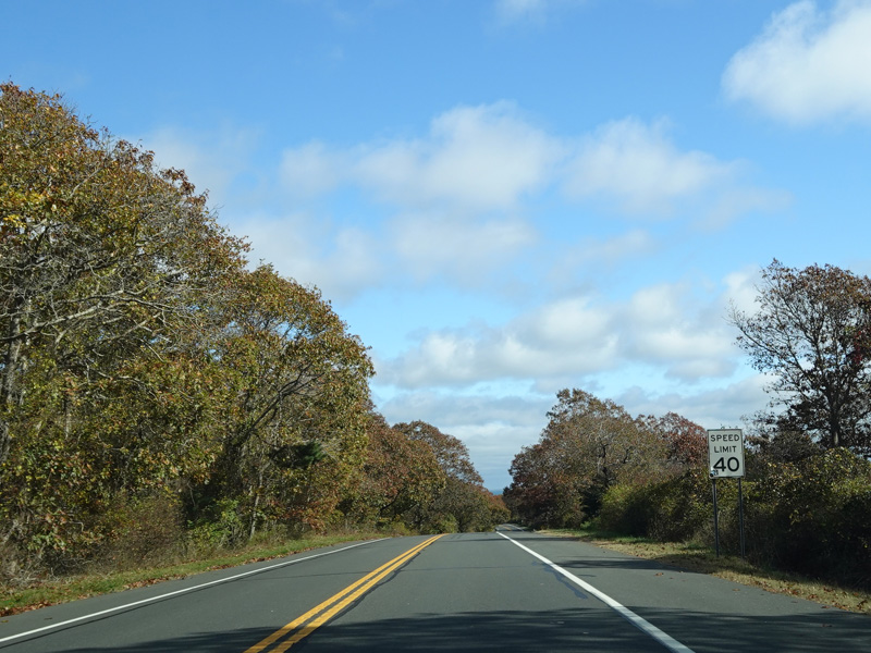
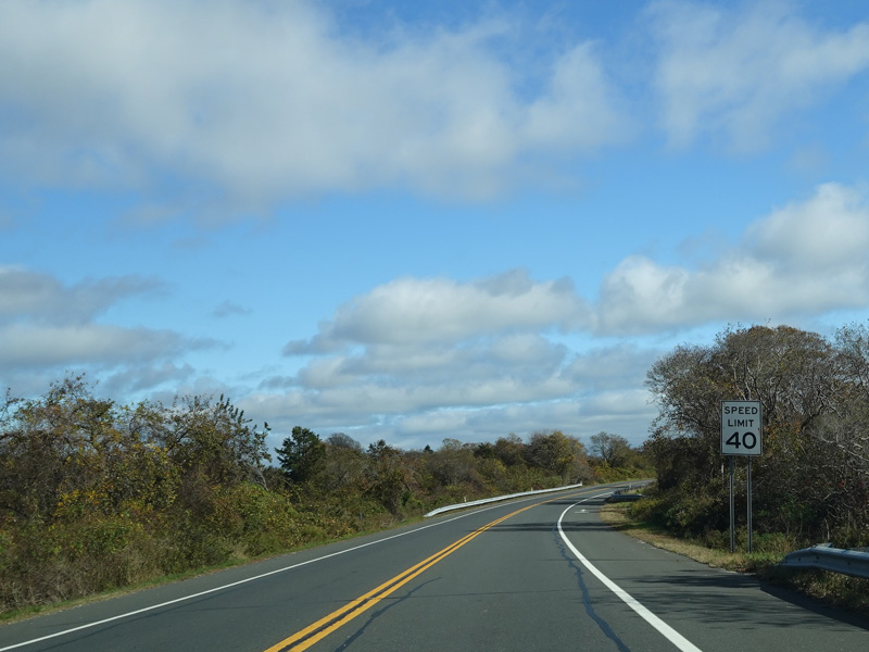
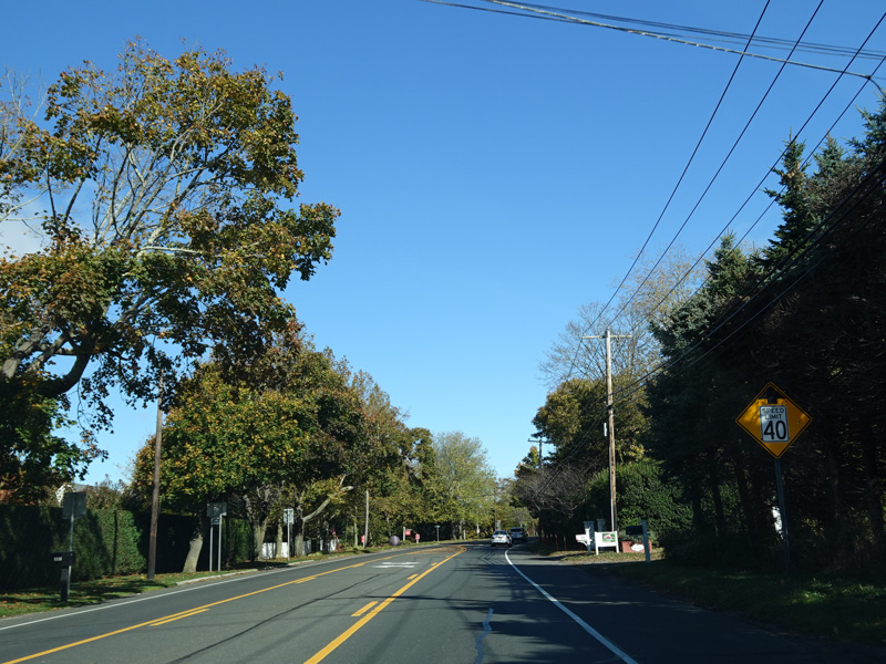
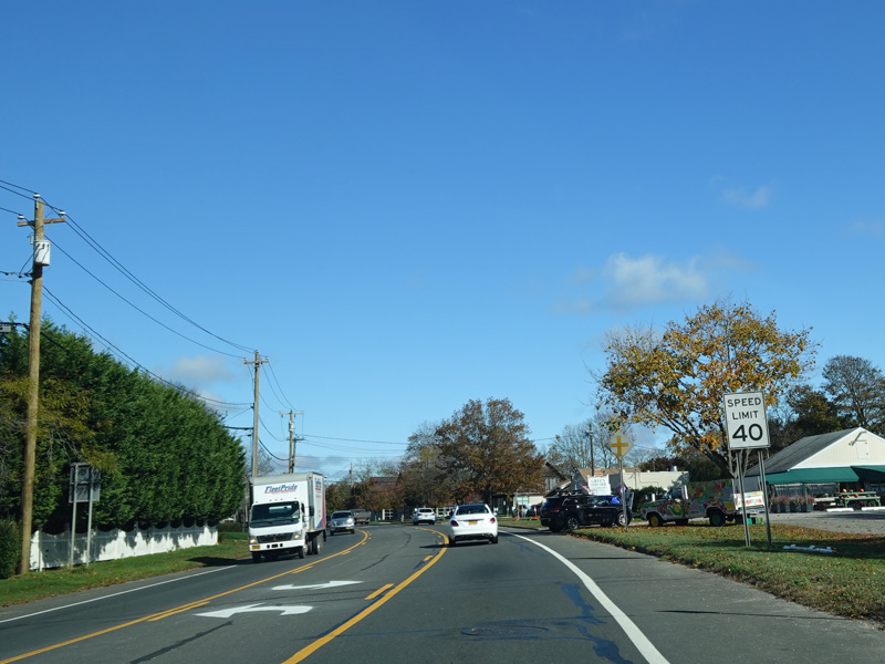
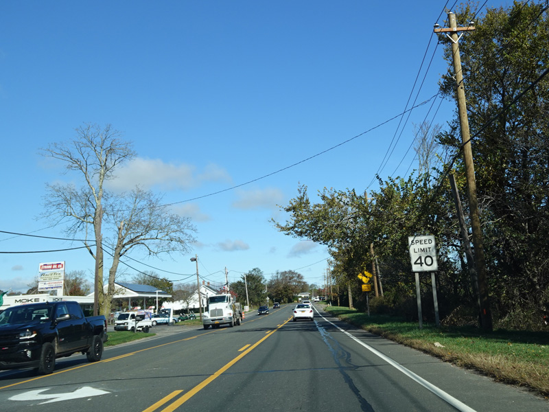
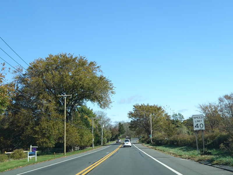
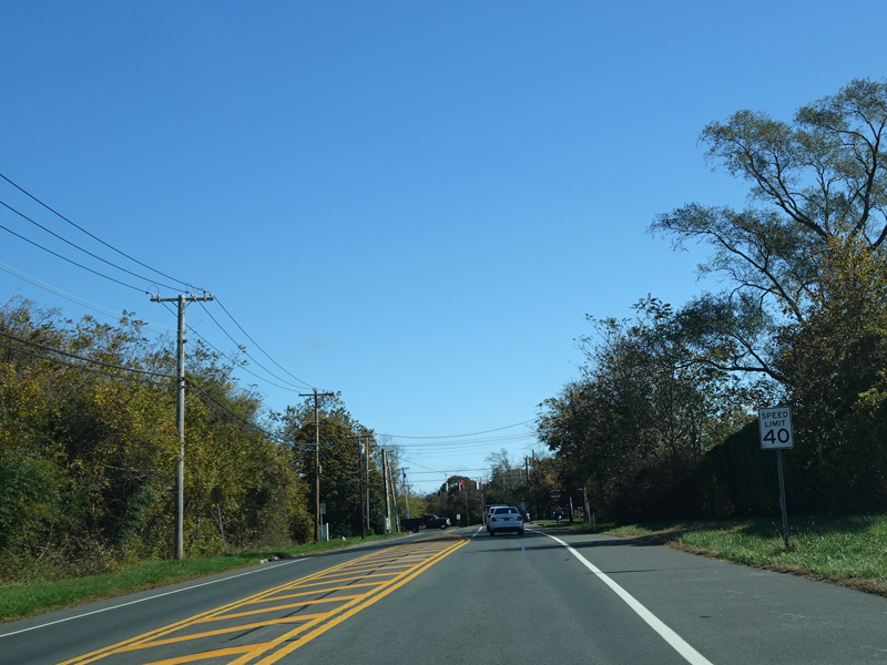
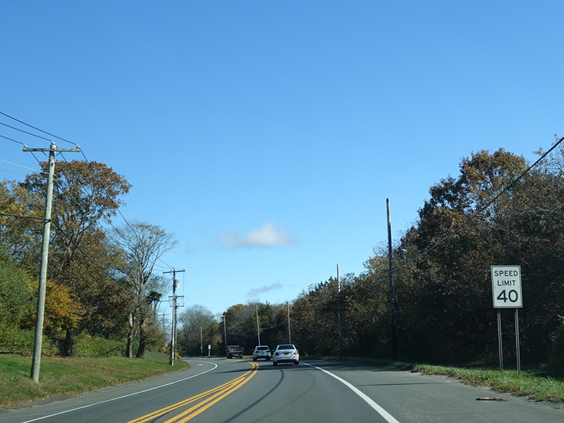
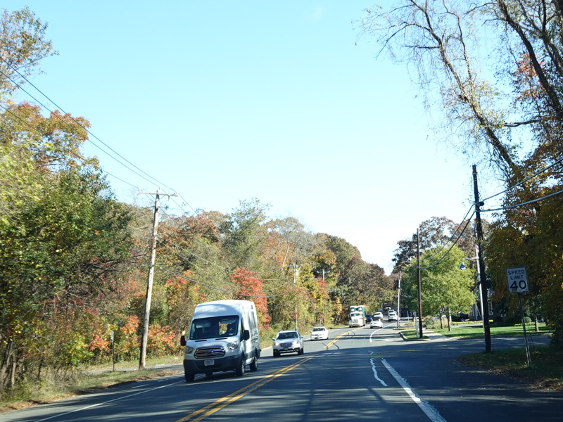
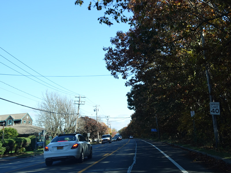
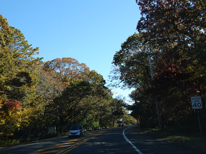
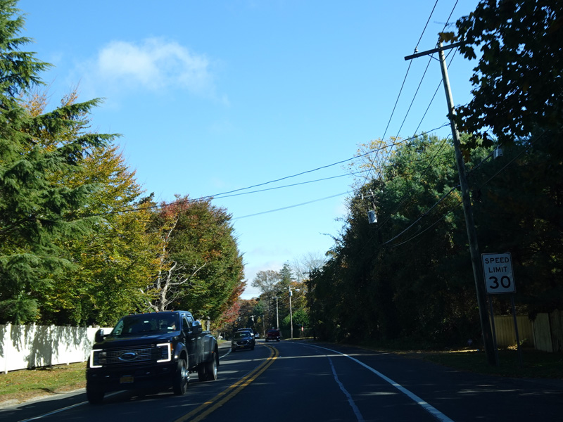
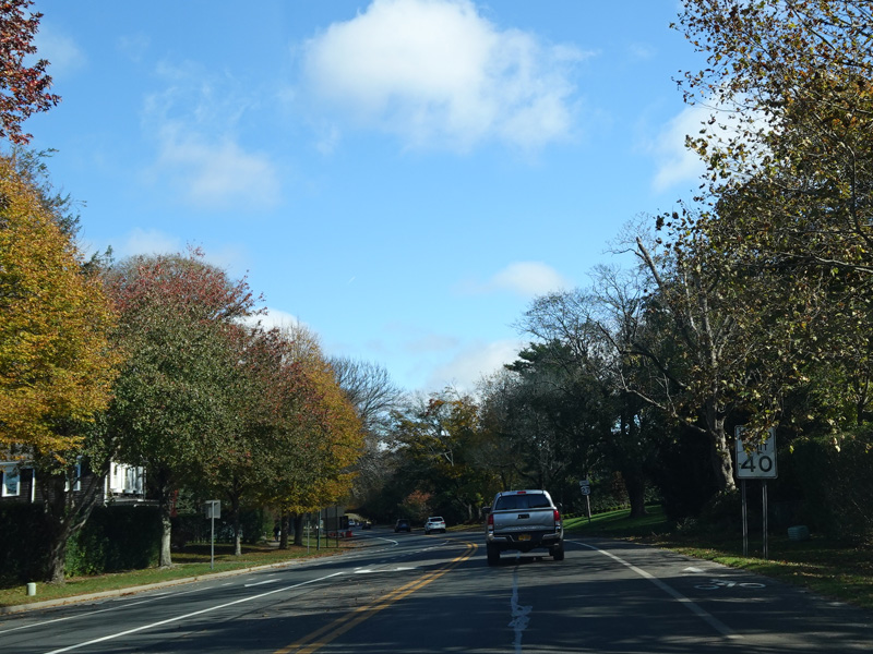
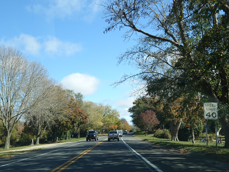
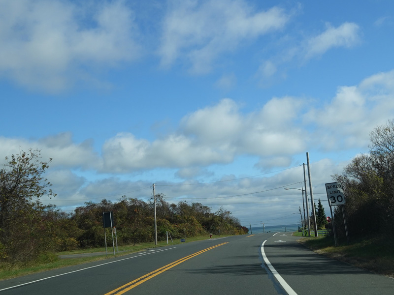
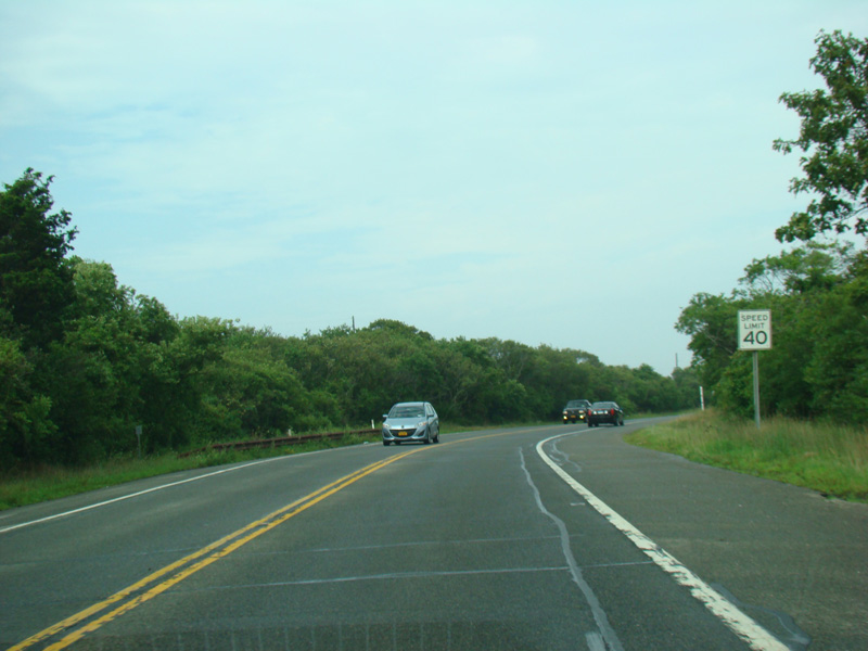
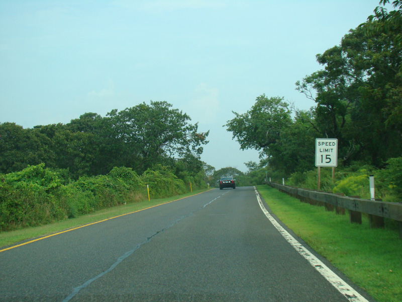
Coming into the downtown area of Montauk, the speed limit drops to 40 MPH.
Photos taken October 2019.
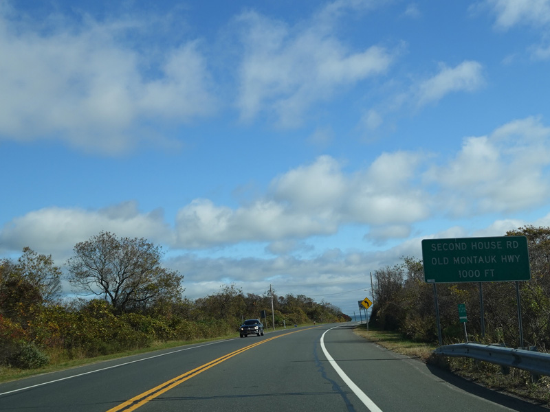
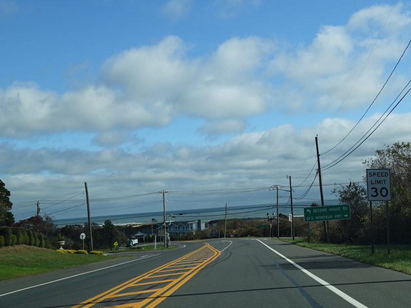
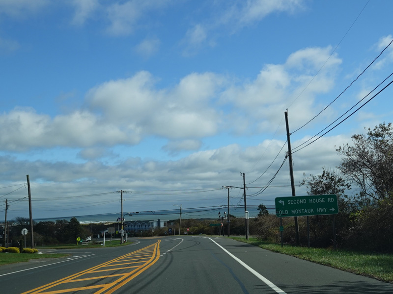
Heading downhill into town, Atlantic Ocean is visible straight ahead. Old Montauk Highway merges in from the right. Turn left for Second House Road.
Photos taken October 2019.
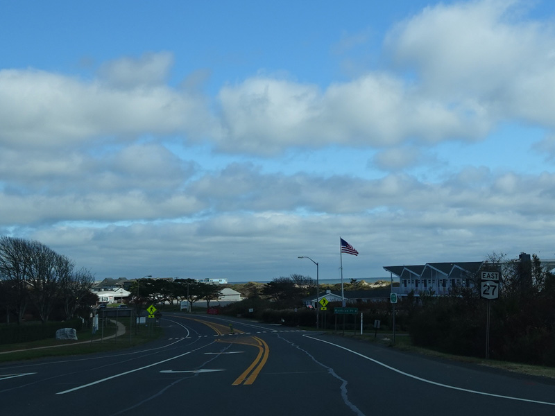
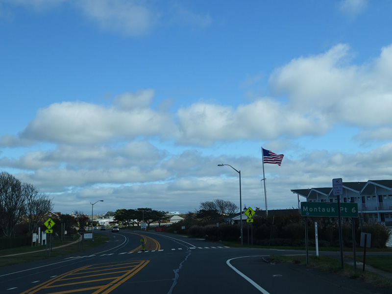
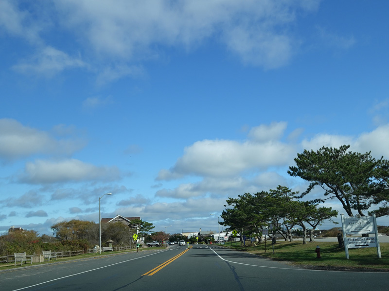
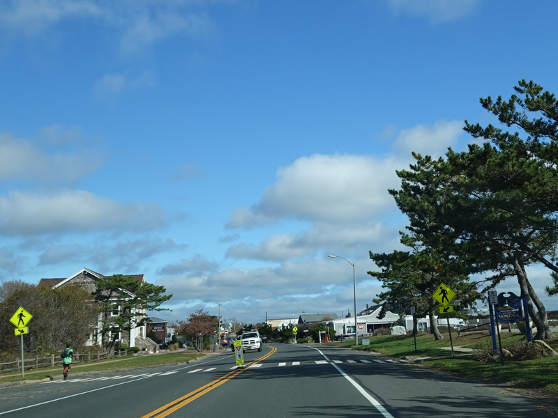
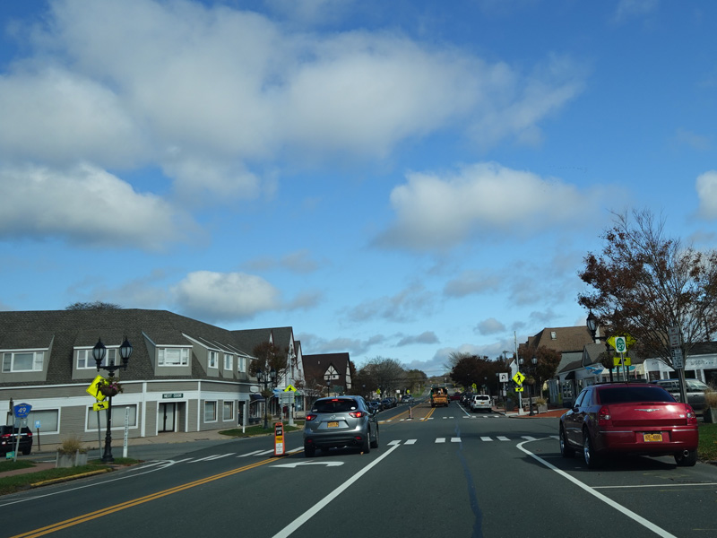
Montauk Highway runs east through Montauk.
Photos taken October 2019.
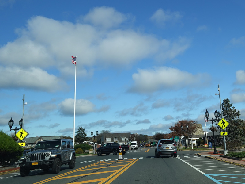
Edgemere Street (CR 49) begins on the left.
Photos taken October 2019.
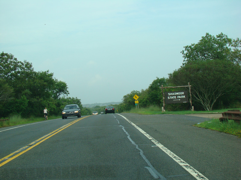
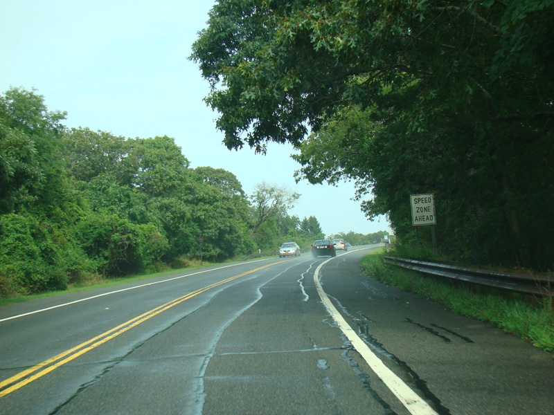
Heading out of town, Shadmoor State Park is to the right.
Photos taken August 2012.
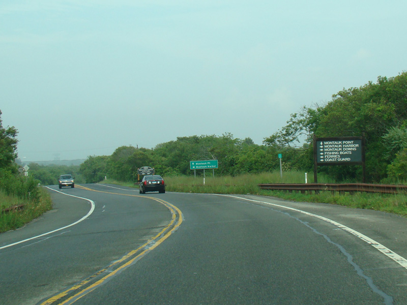
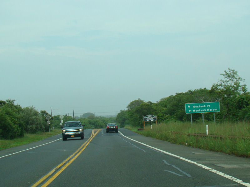
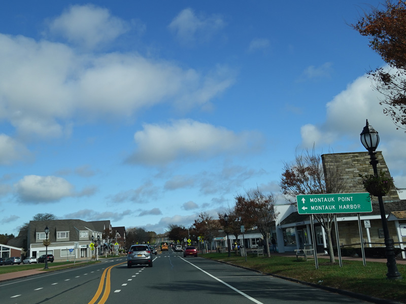
West Lake Drive (CR 77) begins on the left here. Turn left for Montauk Harbor. Continue straight ahead for Montauk Point.
Photos taken August 2012.
After a short distance, East Lake Drive begins on the left. Turn left here for Montauk Airport.
Photos taken August 2012.
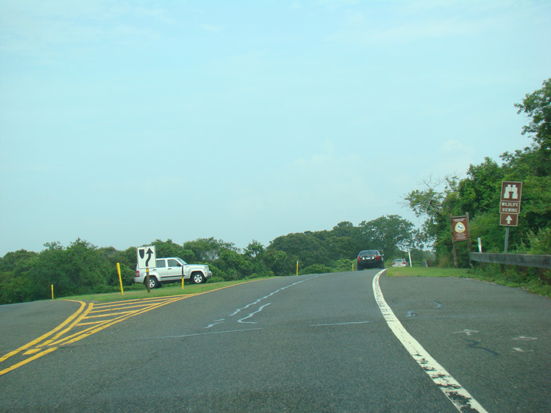
Along this final stretch of Montauk Highway, the landscape takes on a hilly shape unlike anywhere else on Long Island. There is a scenic overlook to the right.
Photos taken August 2012.
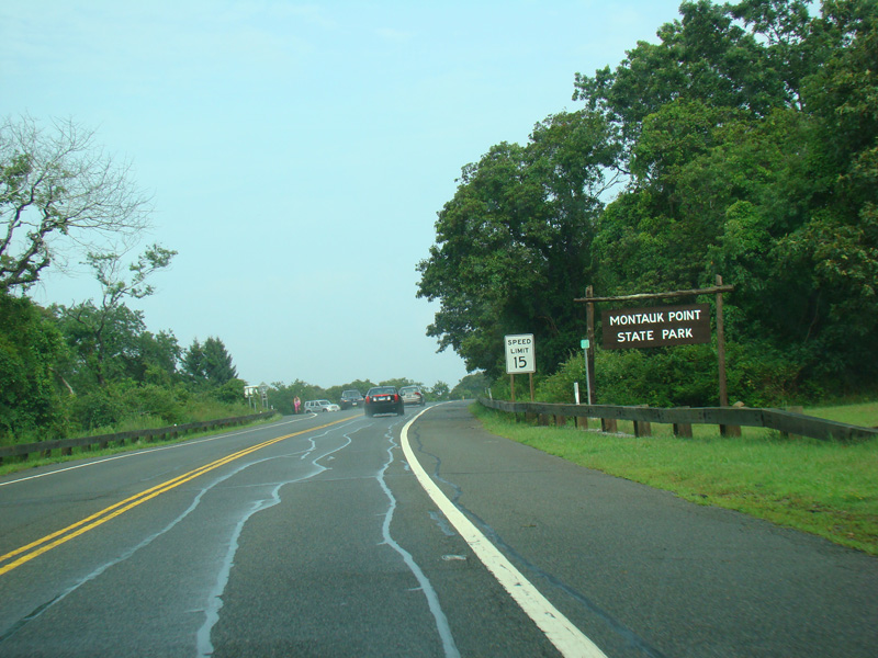
Montauk Highway ends at Montauk Point State Park. The eastbound and westbound lanes split to form a circular roadway.
Photos taken August 2012.
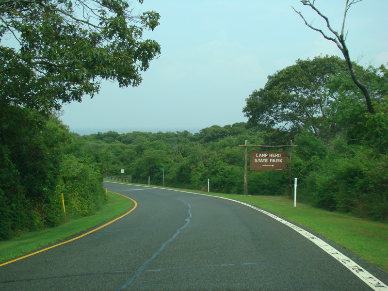
Turn right here for Camp Hero State Park.
Photo taken August 2012.
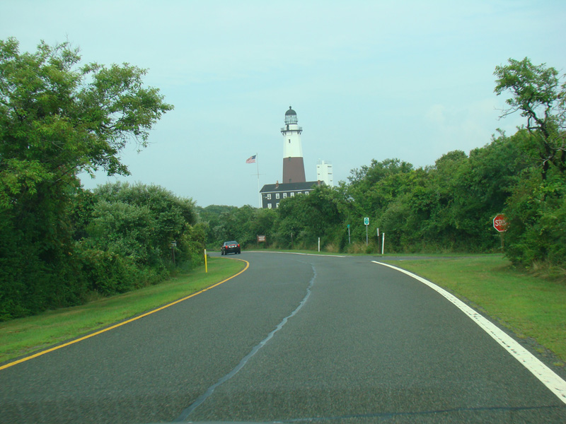
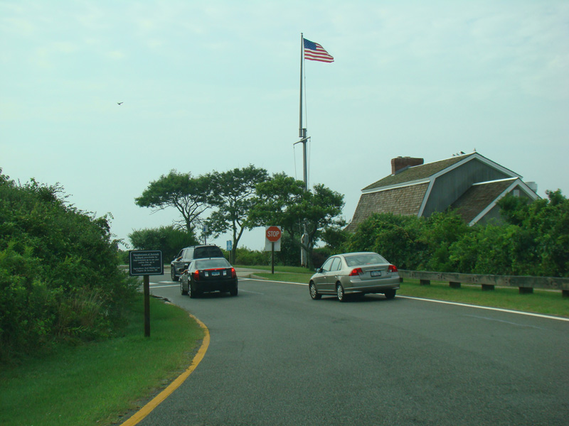
The Montauk Point Lighthouse is visible on the right. There is a stop sign just after the lighthouse. Turn left for the parking lot for the lighthouse. Eastbound NY 27 ends here. Continue straight ahead to head back west.
Photos taken August 2012.