Grist Mill Road, Main Avenue, Danbury Road, Ethan Allen Highway, Federal Road, Kent Road, South Main Street, North Main Street, Kent-Cornwall Road, Cornwall Bridge Road, Sharon Canaan Road, Lime Rock Road, South Canaan Road, High Street, Elm Street, Railroad Street, Ashley Falls Road
Northbound Views
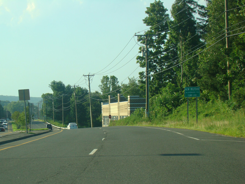


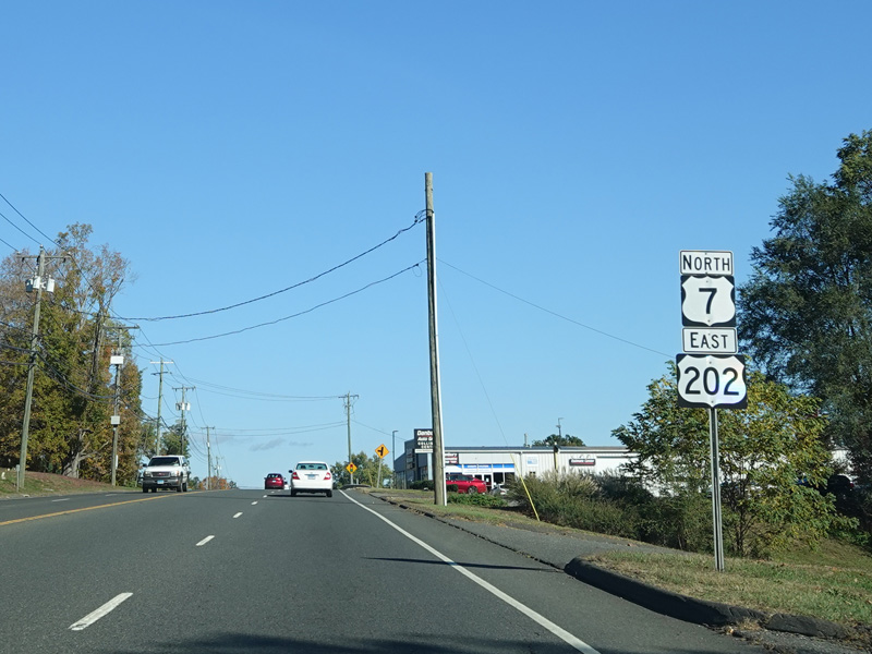
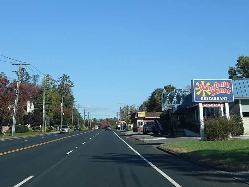
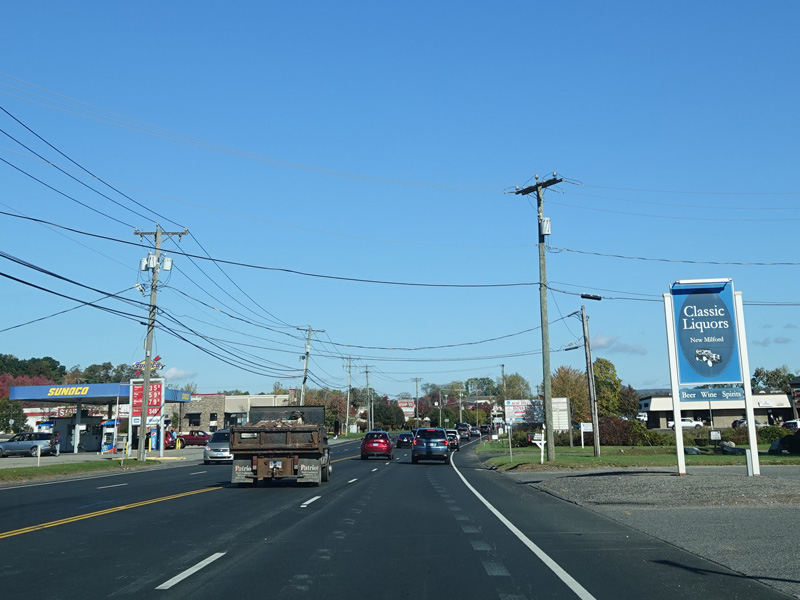
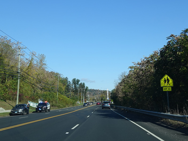
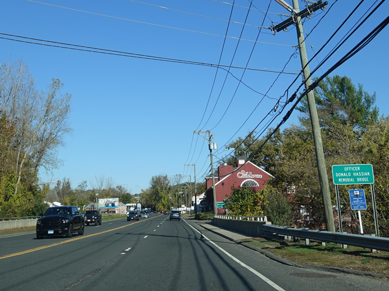
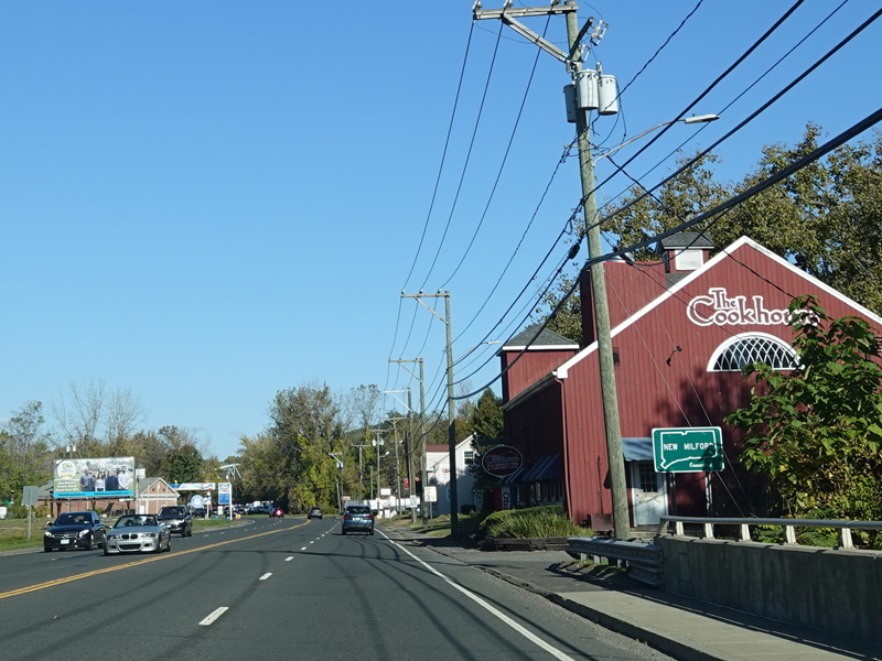
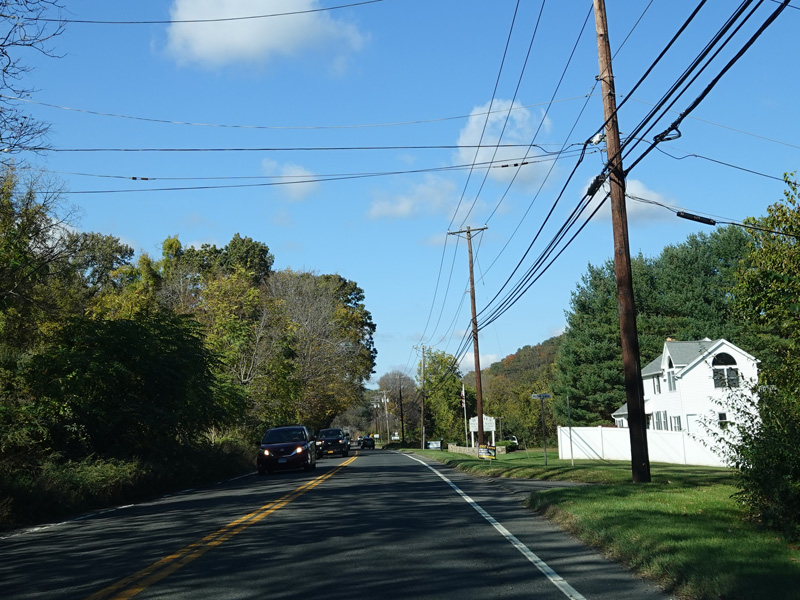
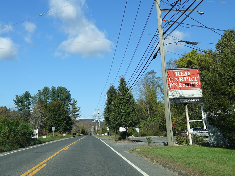
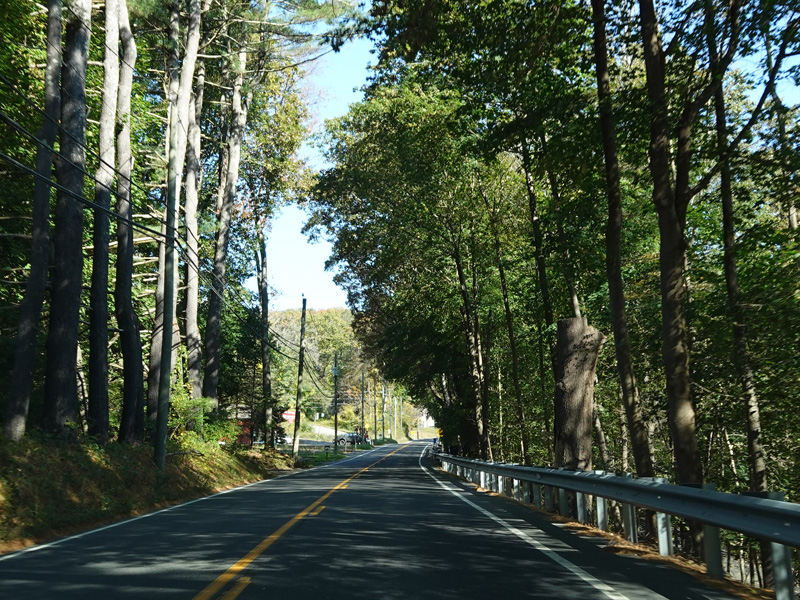
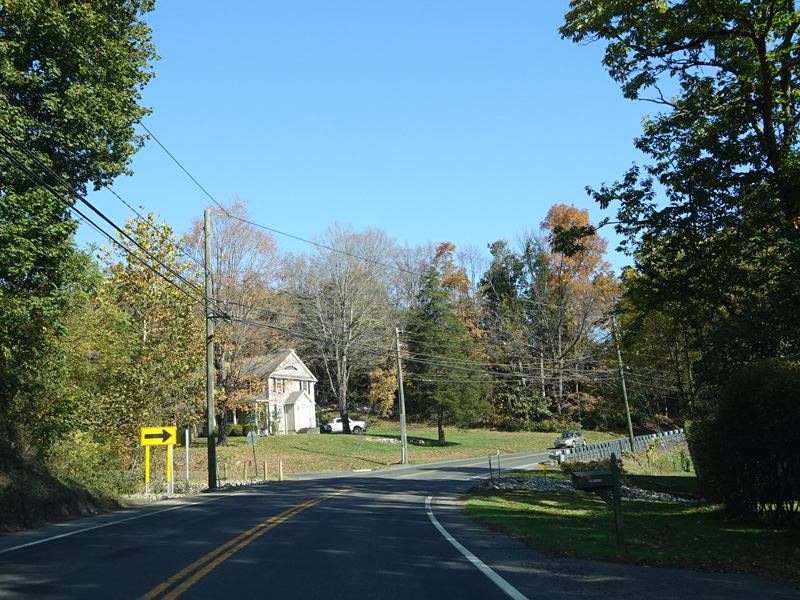
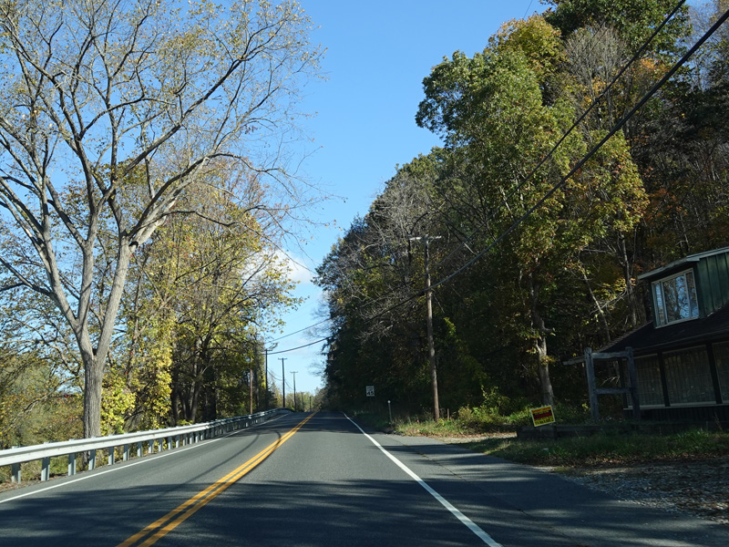
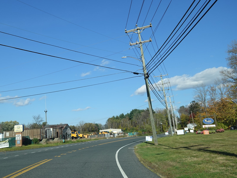
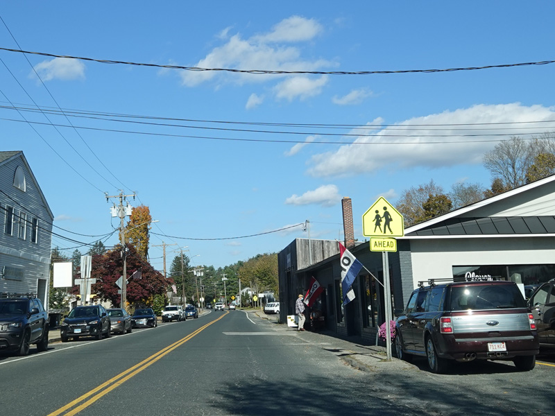
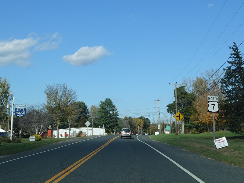
Welcome to New Milford! Federal Road changes names to become Danbury Road at the town line.
Photos taken 2013-2021.

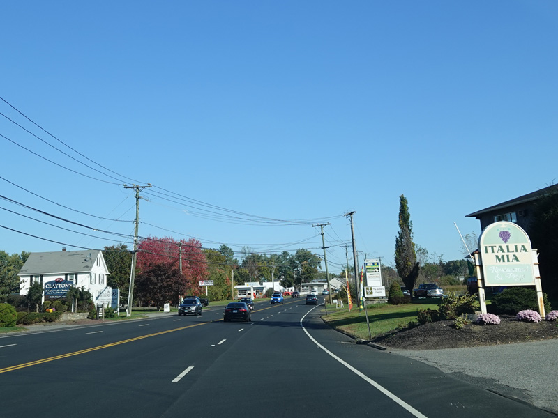

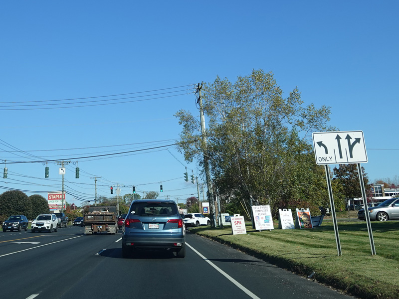


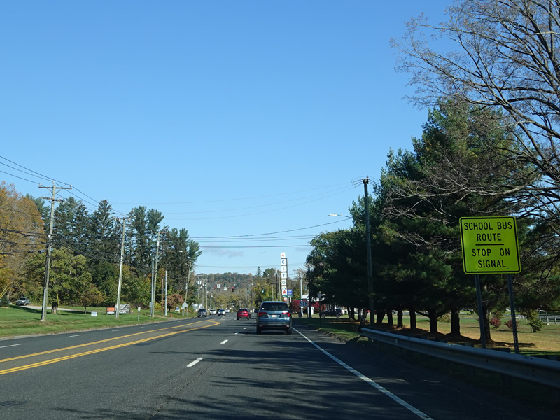

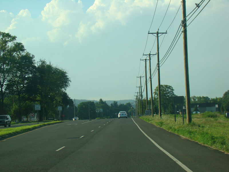
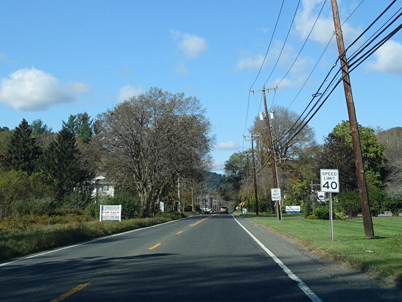
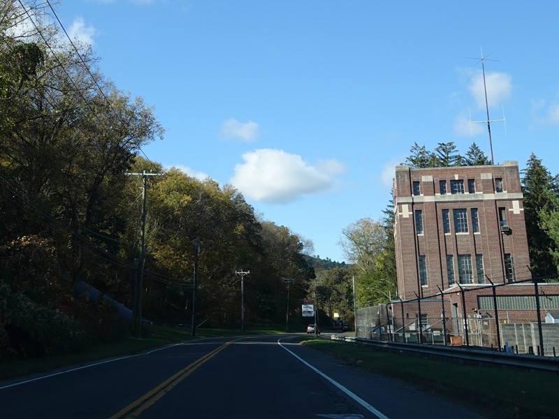
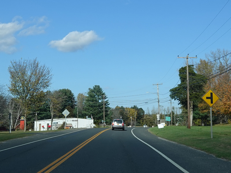
The median ends. Danbury Road continues north as a four-lane undivided road.
Photos taken October 2021.


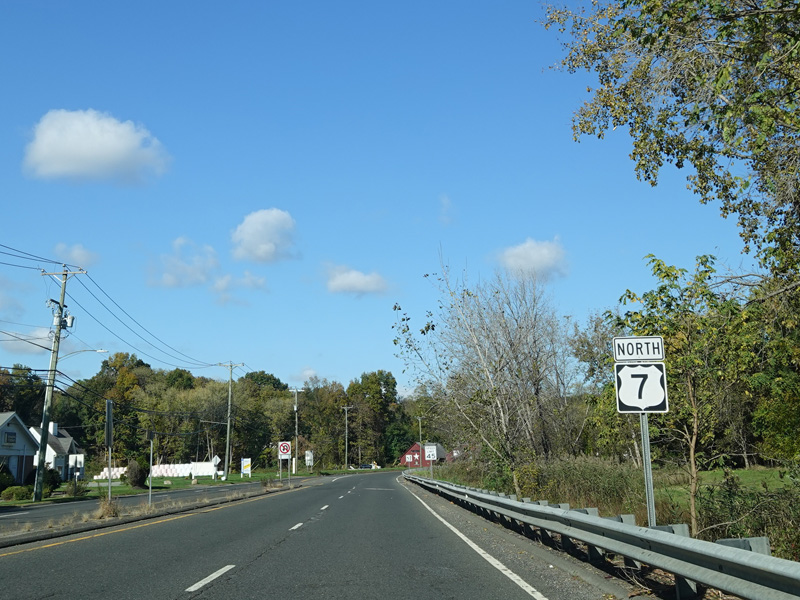
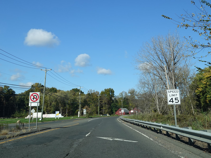
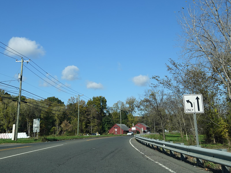
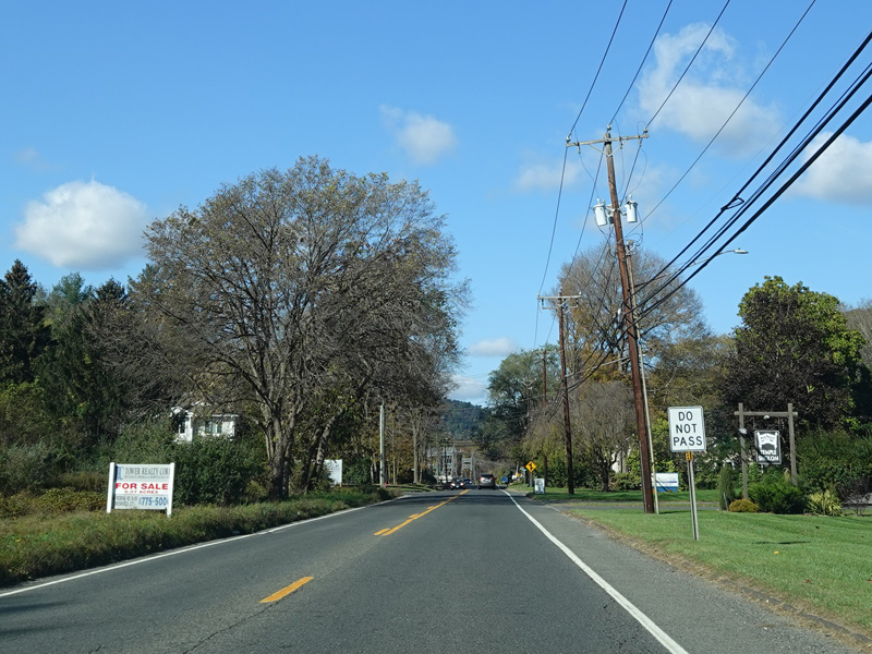

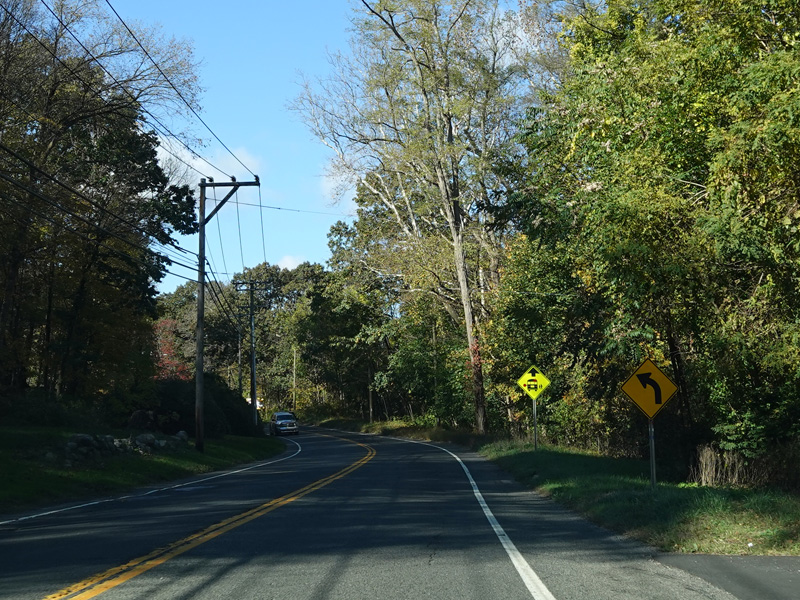


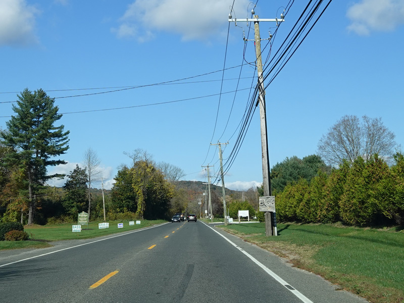

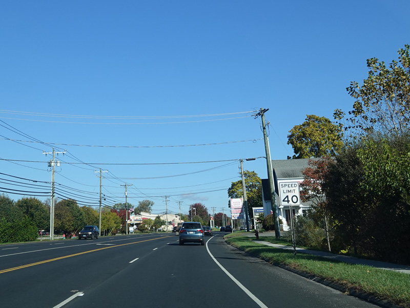
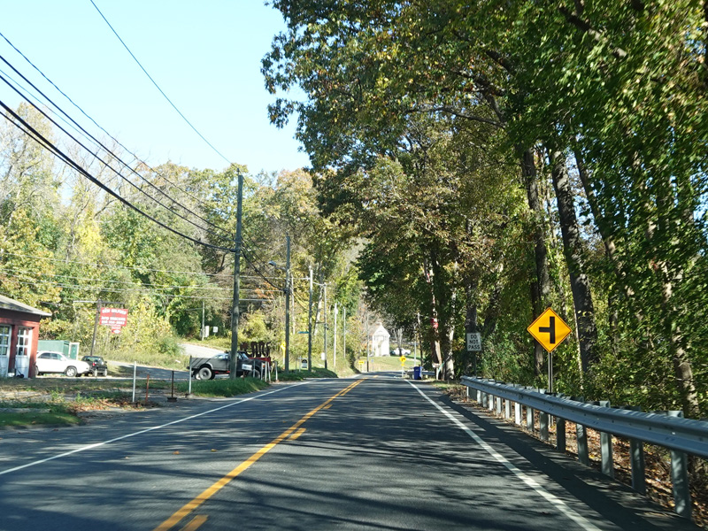
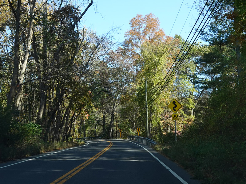
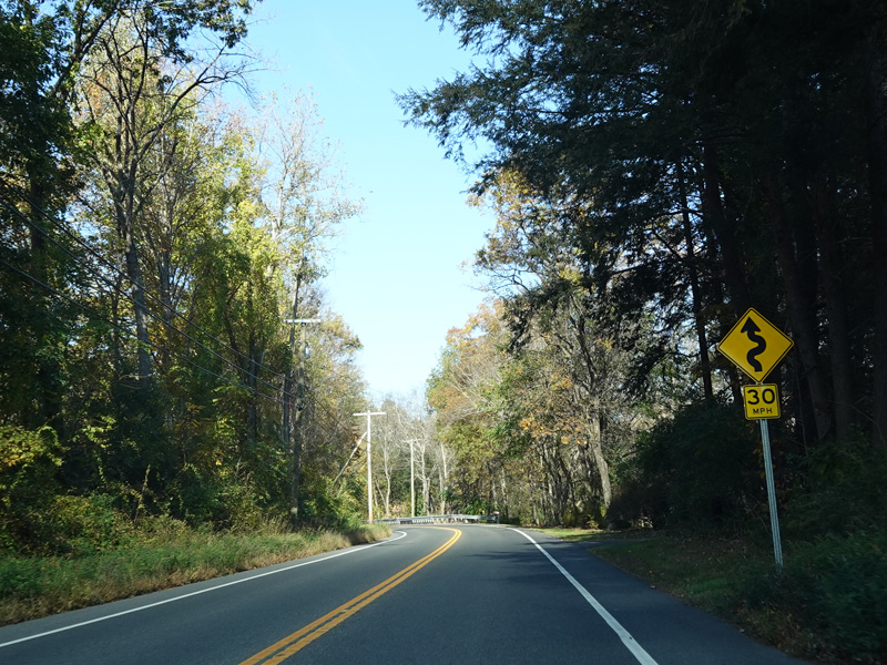
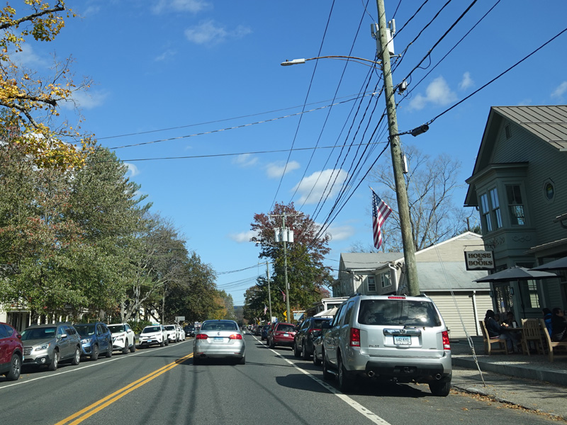
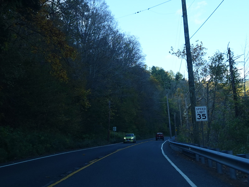
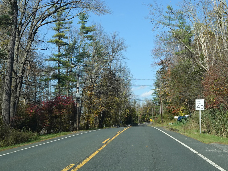
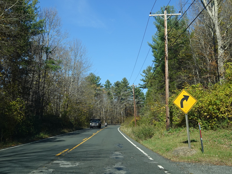
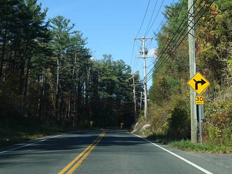
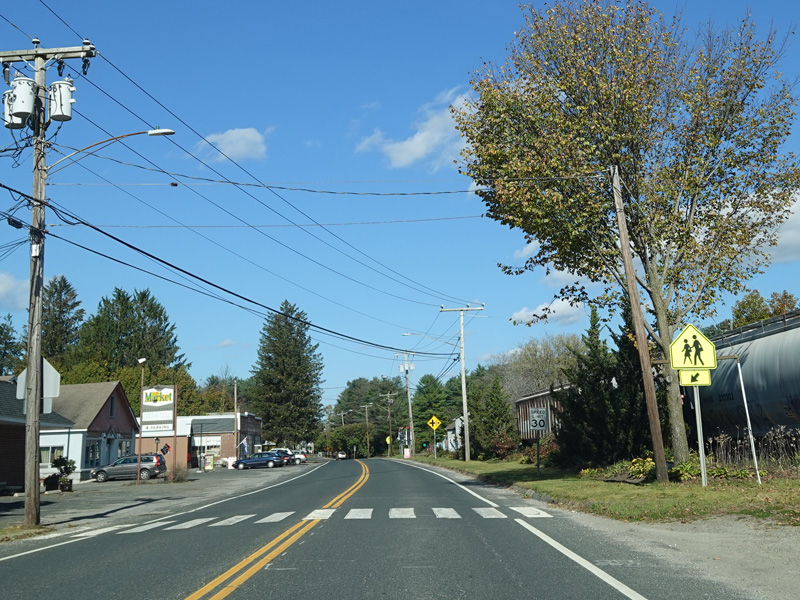
Kent Road narrows down to two lanes.
Photos taken October 2021.

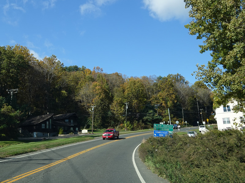

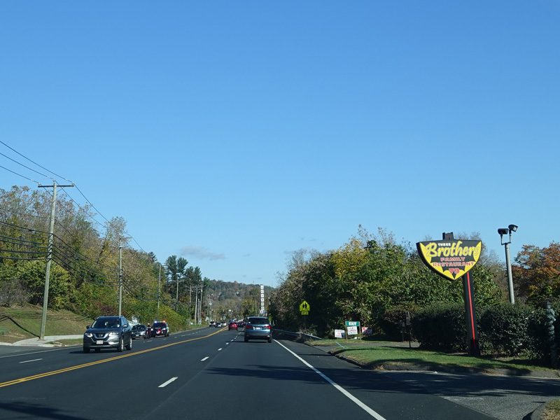
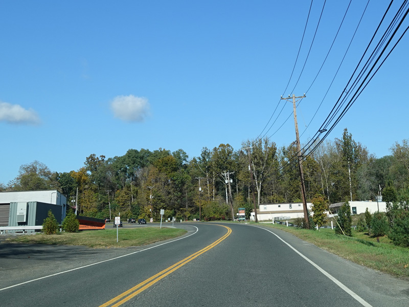
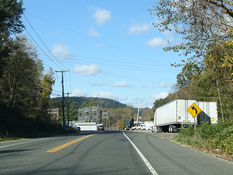
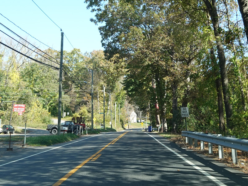
Sherman Road (CT 37) begins on the left at a flasher.
Photos taken October 2021.
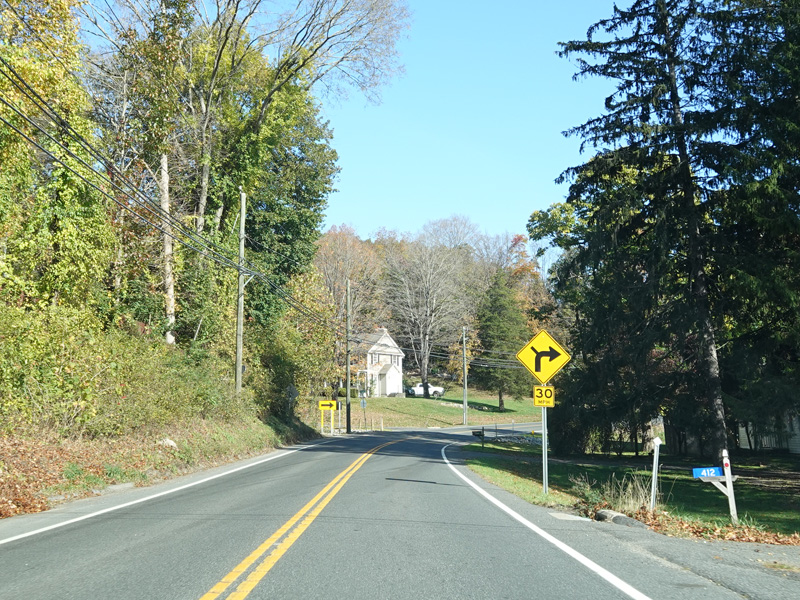


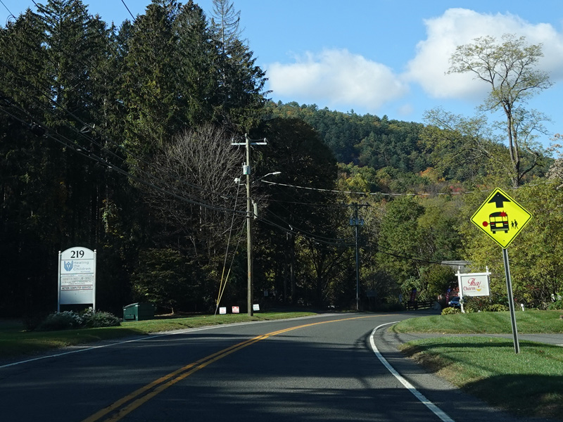
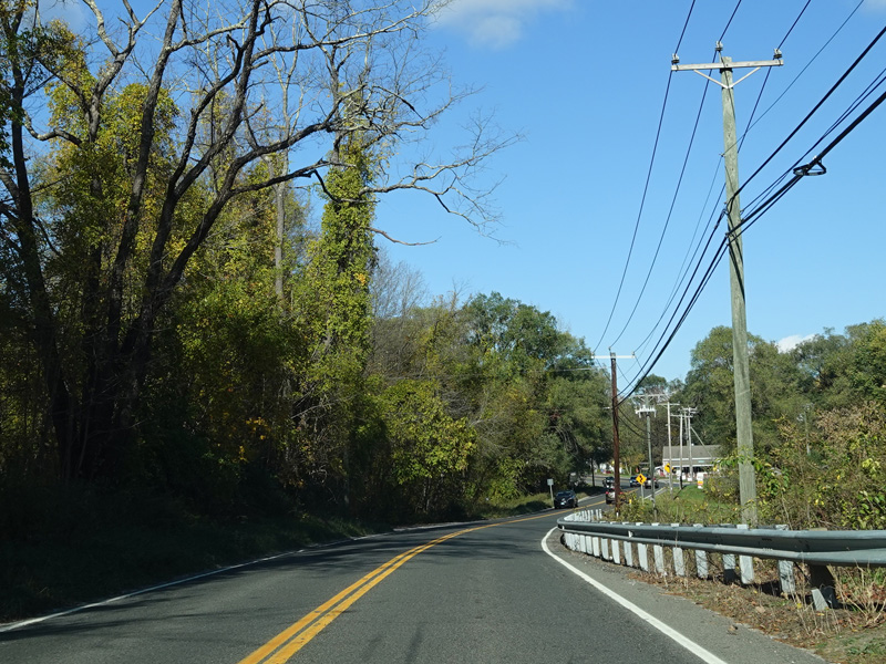
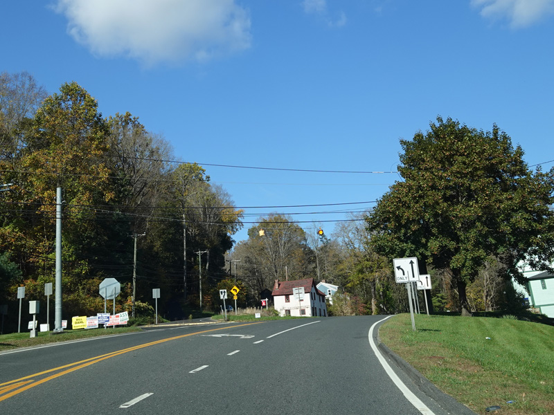
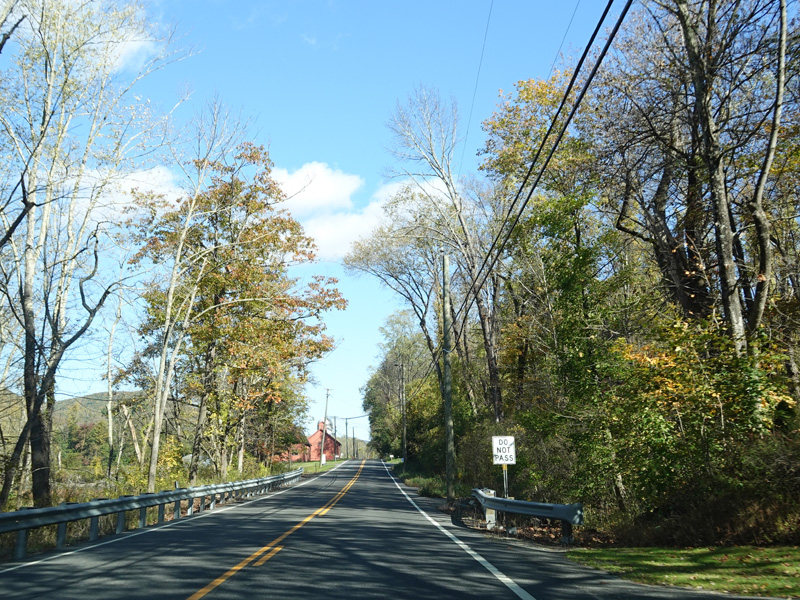
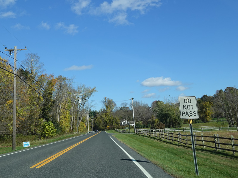
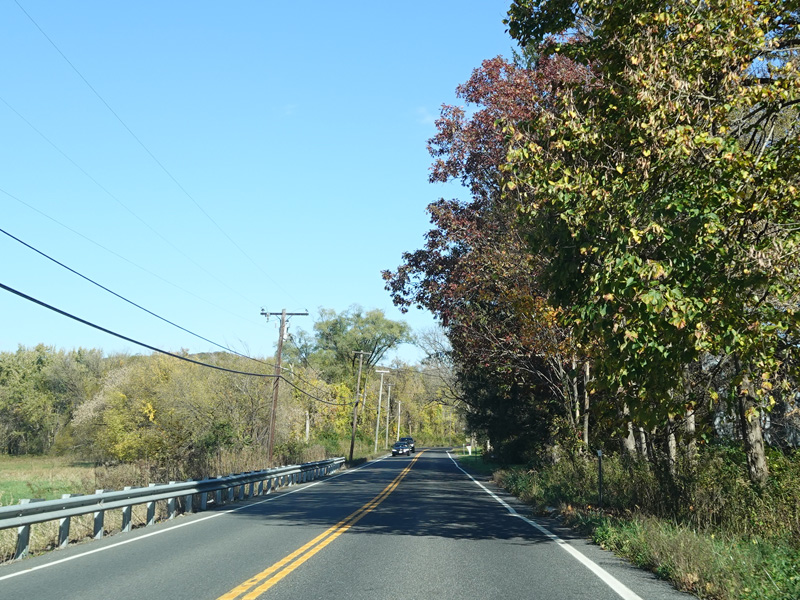
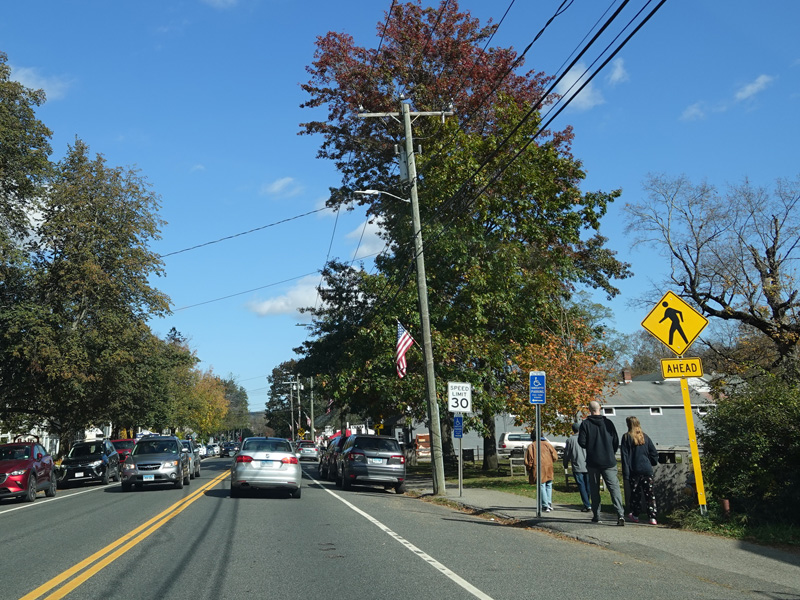
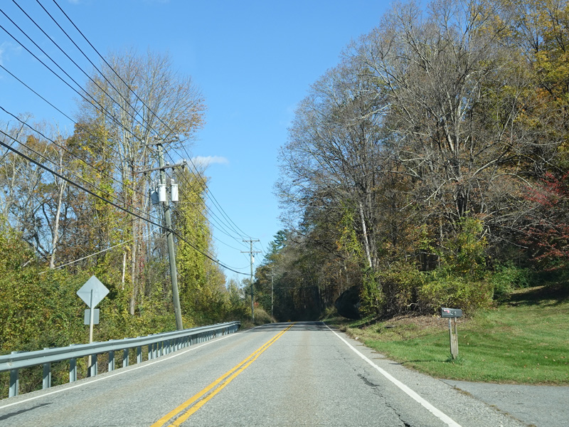
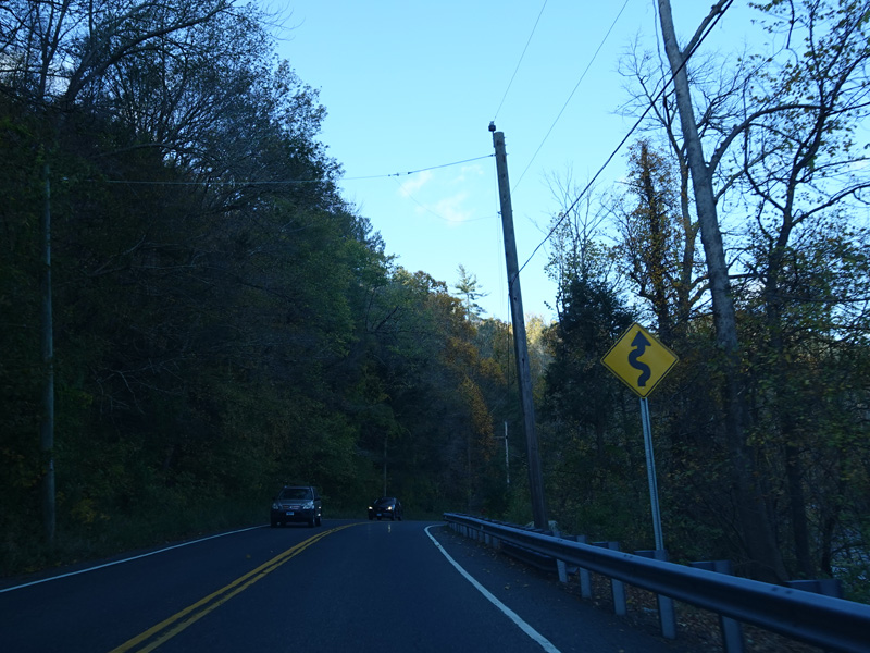
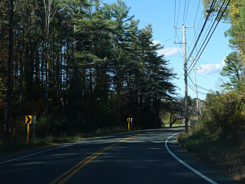
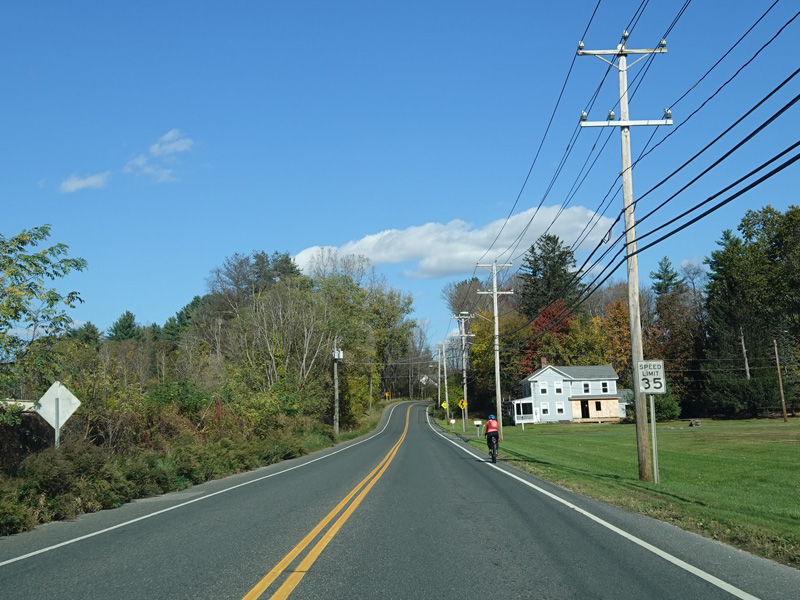
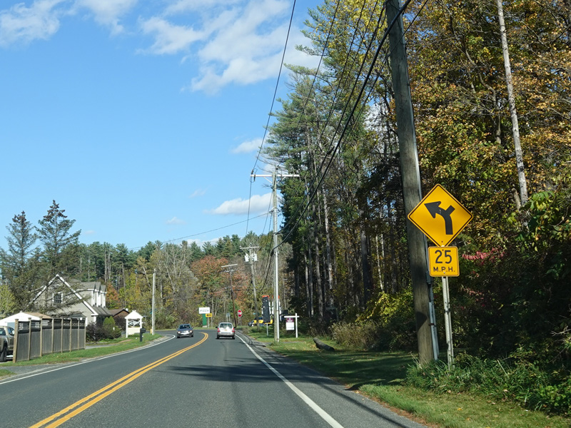
Kent Road continues north as a two-lane undivided road.
Photos taken October 2021.
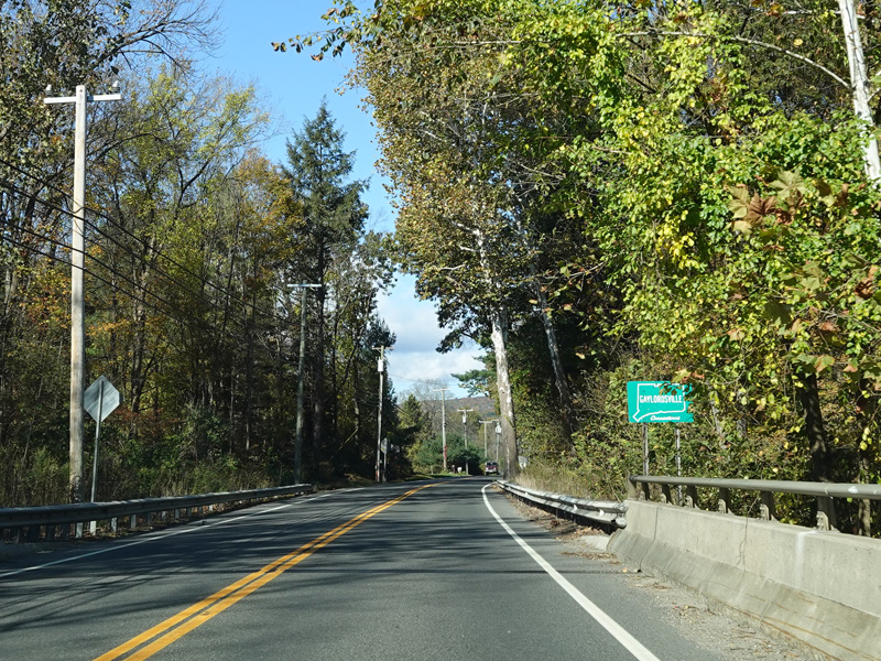


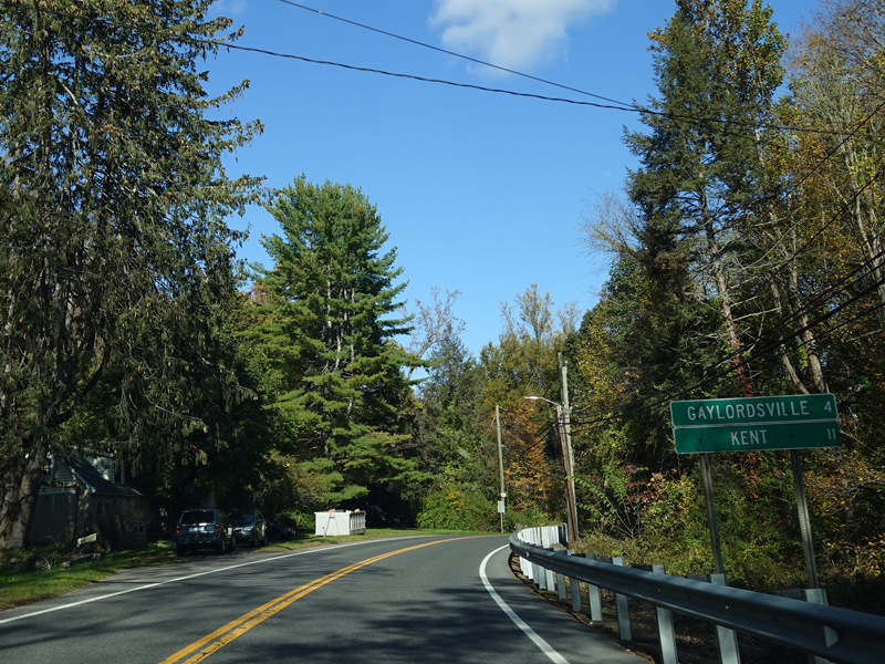
Welcome to Gaylordsville!
Photos taken October 2021.

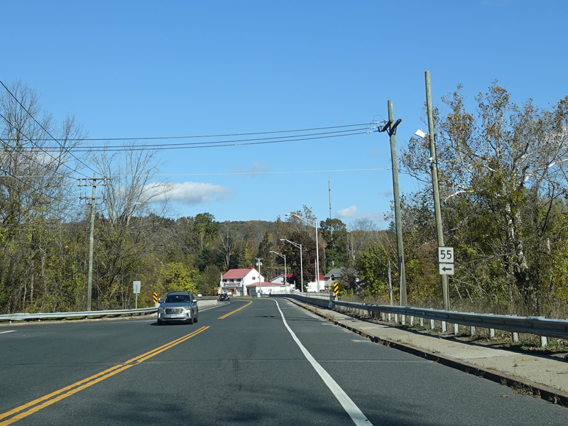
Webatuck Road (CT 55) begins on the left.
Photos taken October 2021.

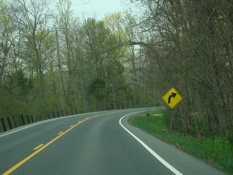
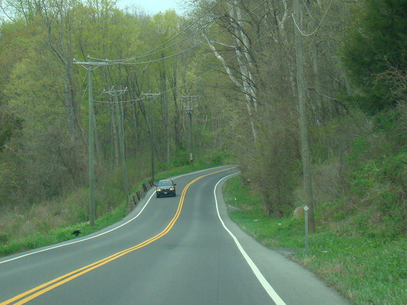
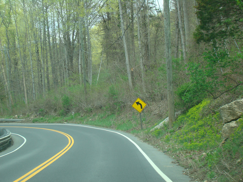

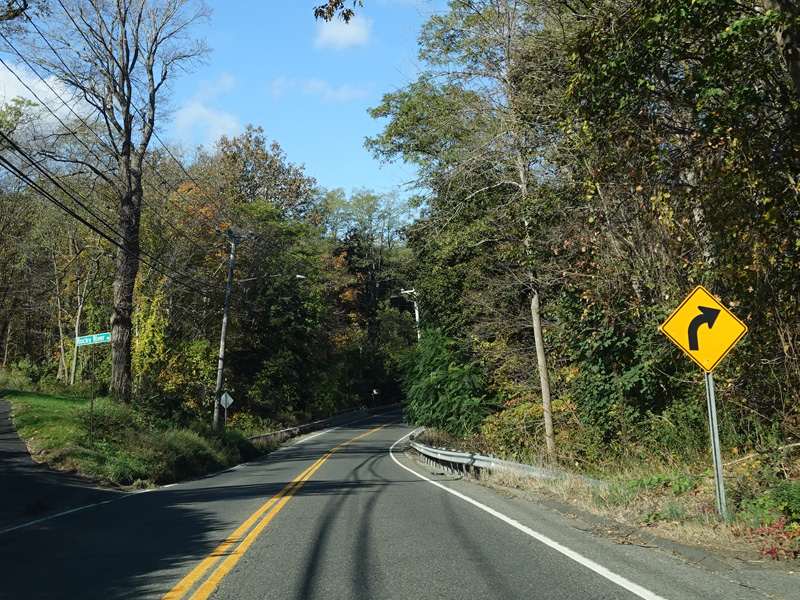
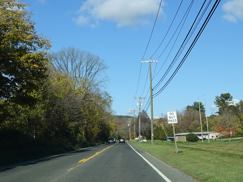
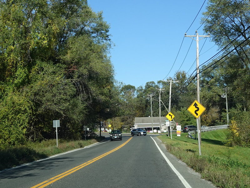
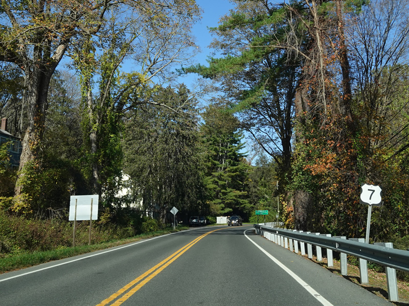
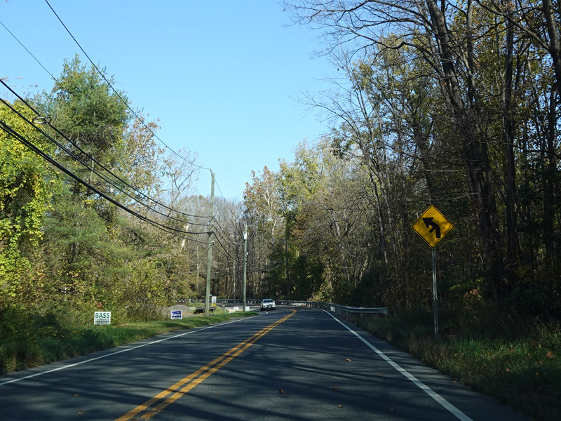
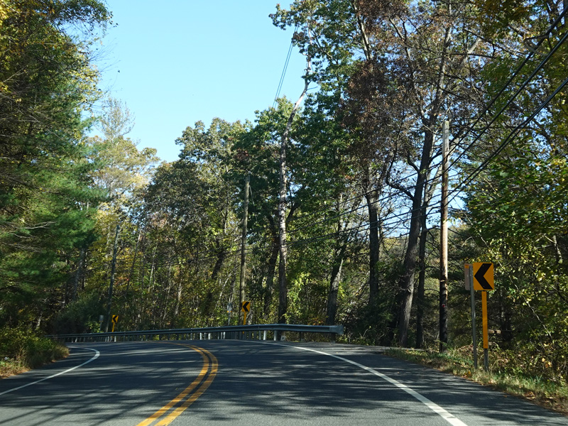
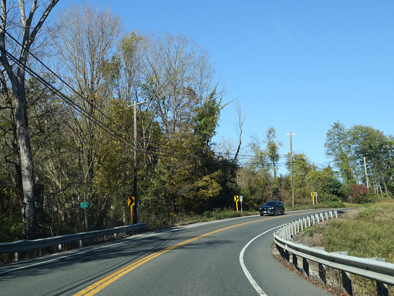
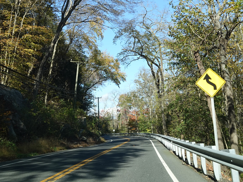
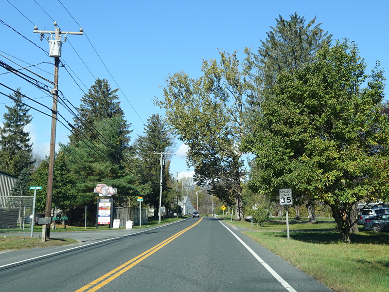
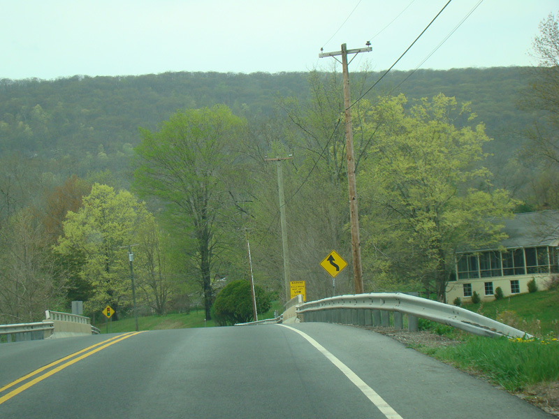
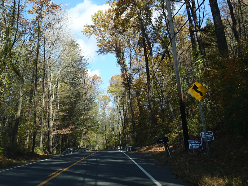
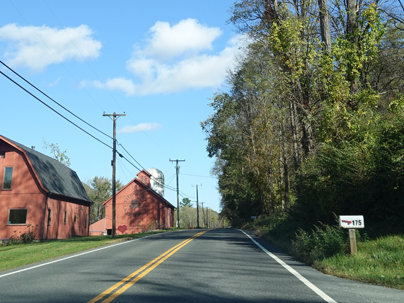
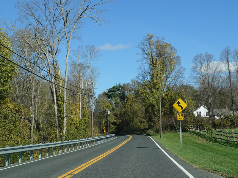
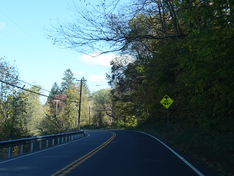
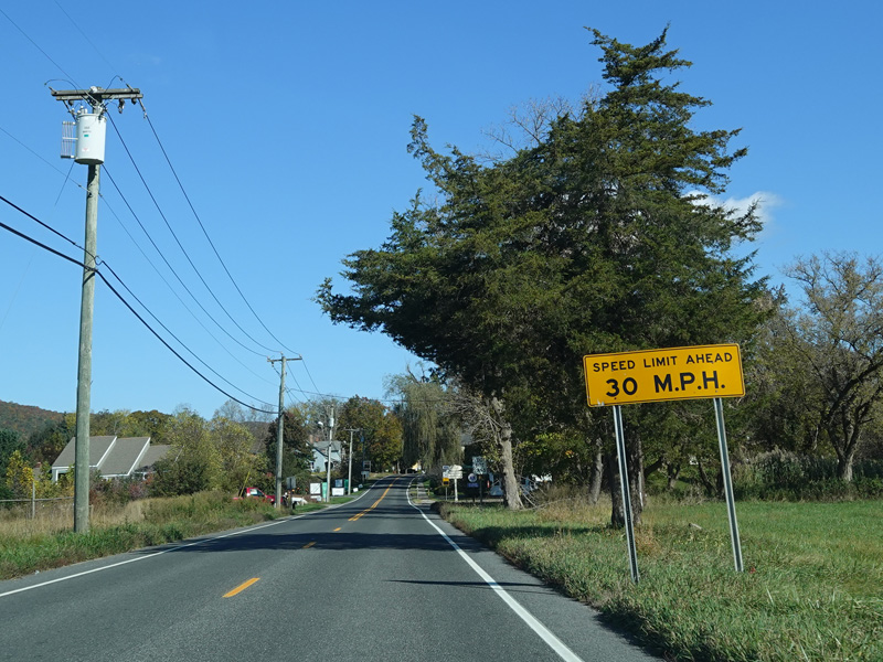
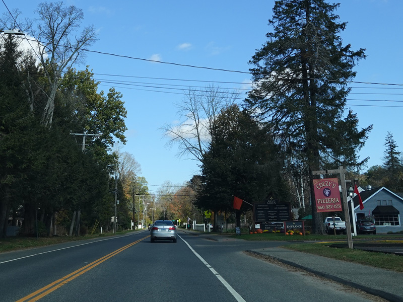
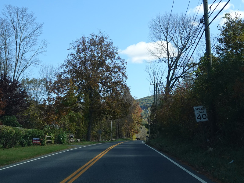
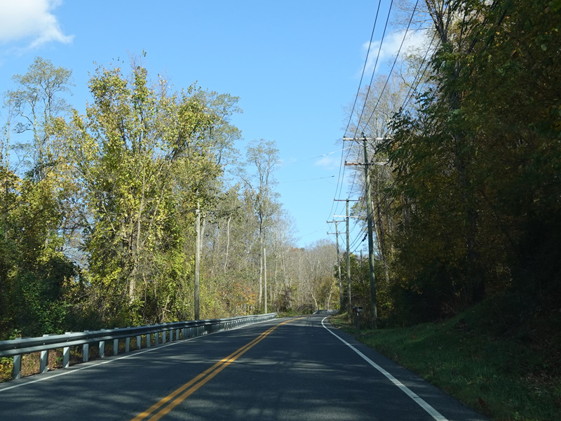
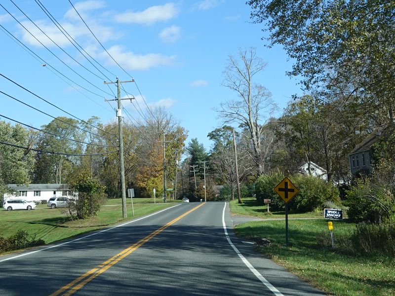
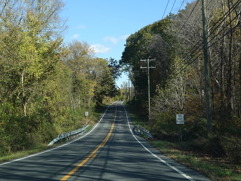
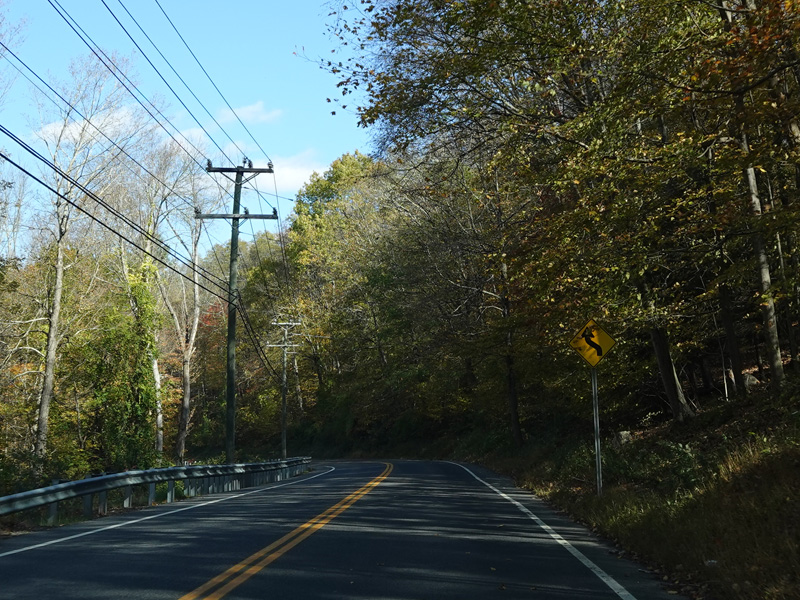
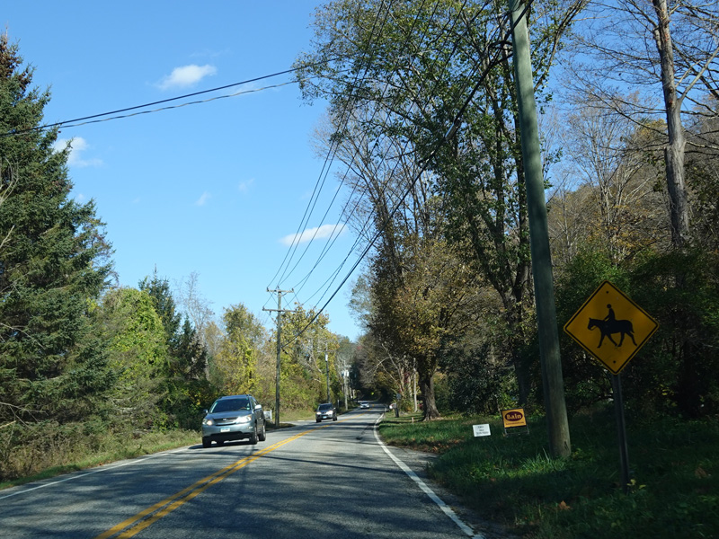
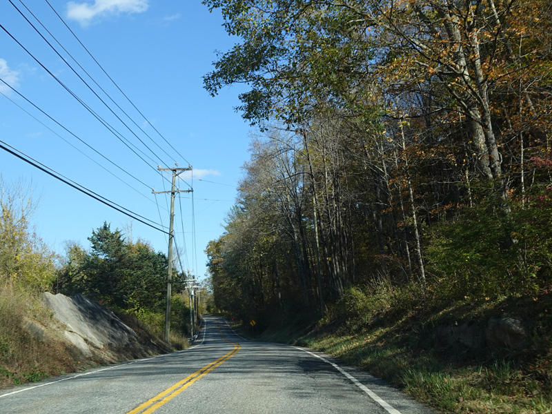
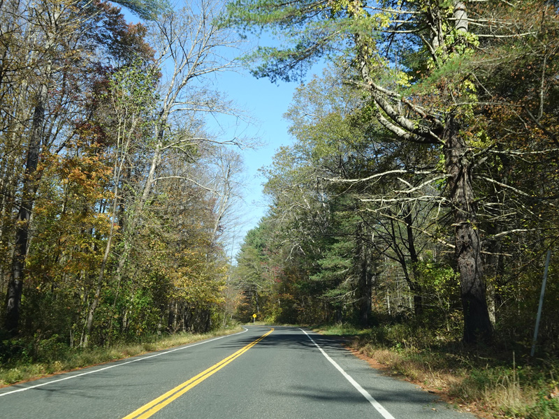
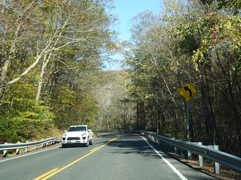
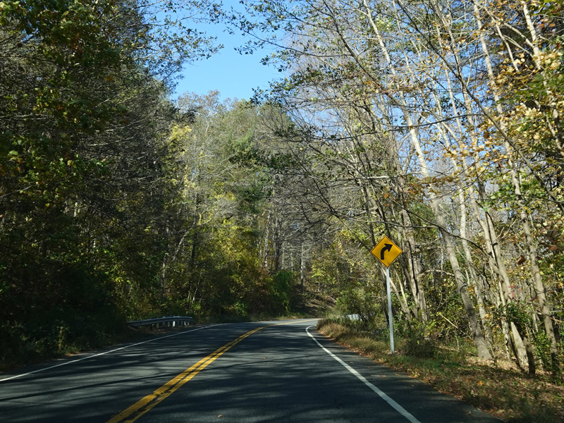
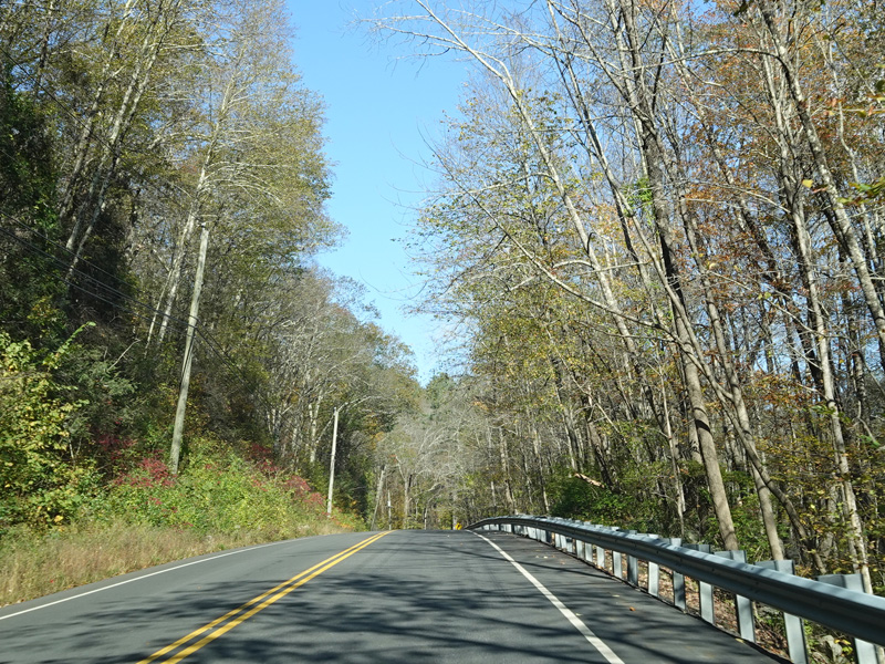
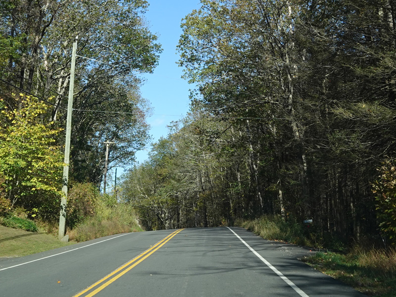
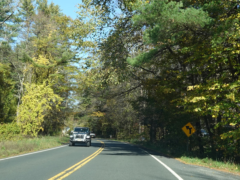
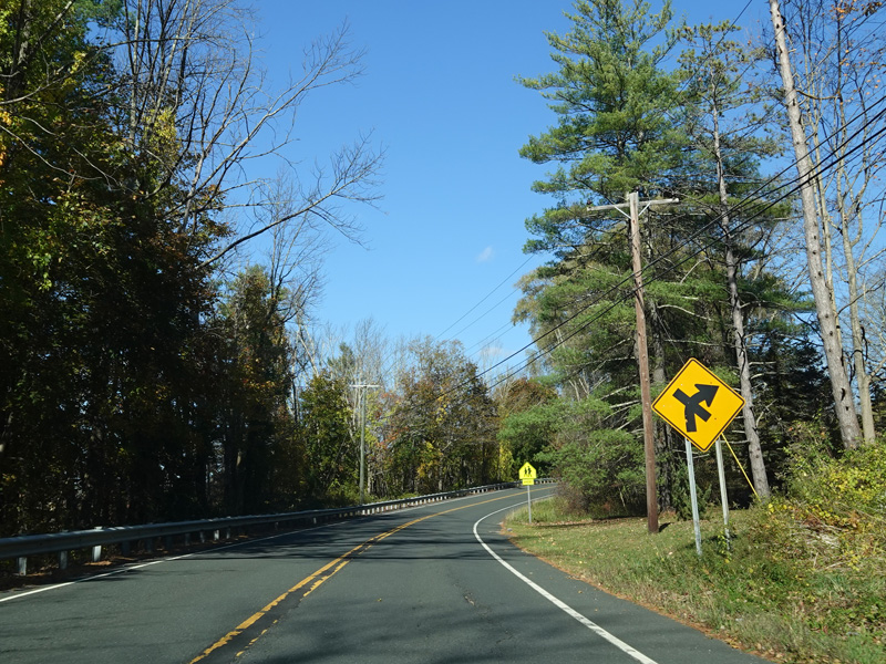
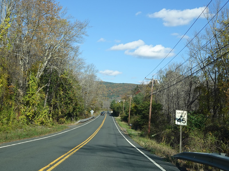
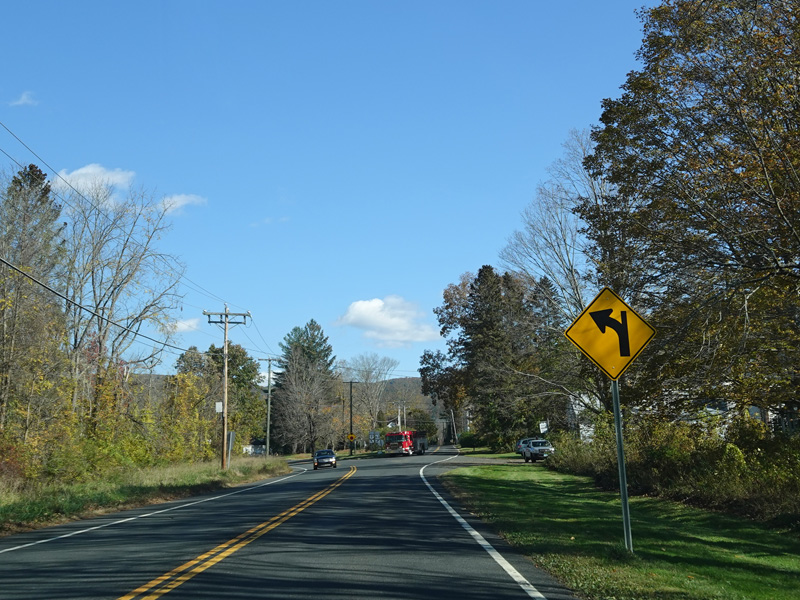
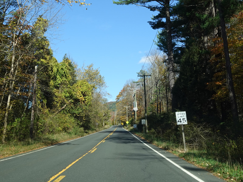
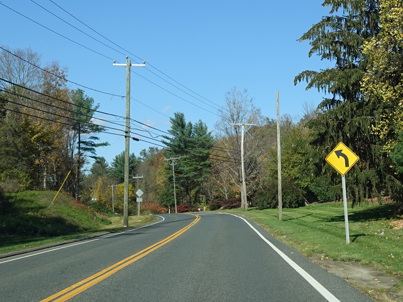
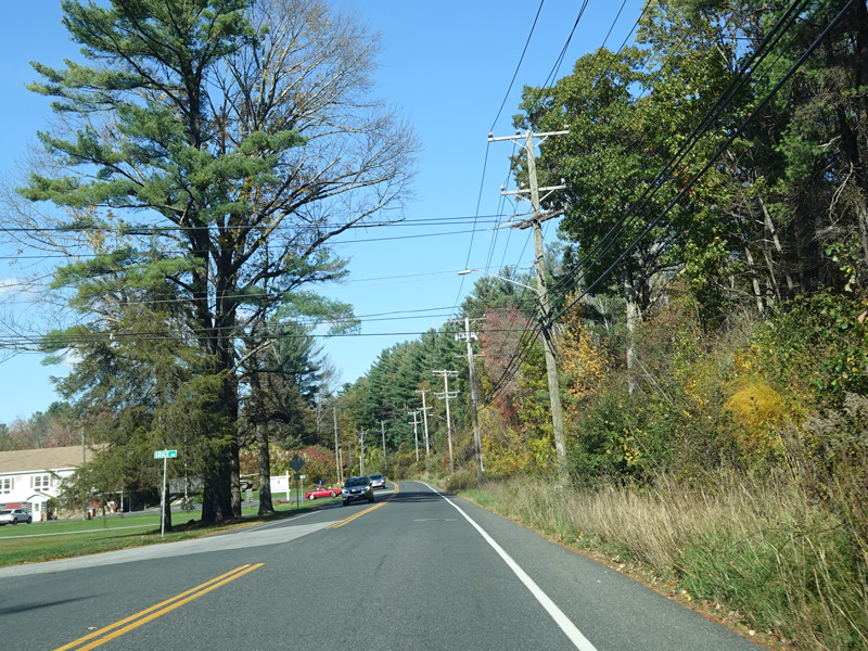
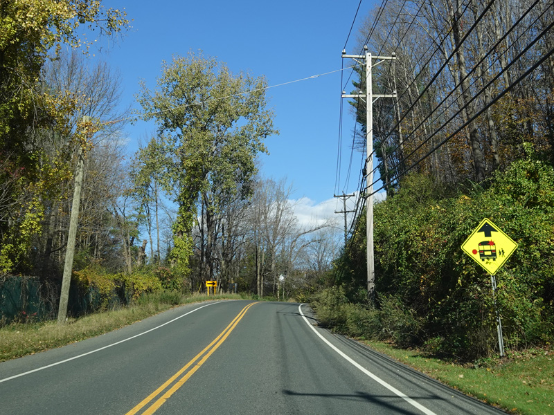
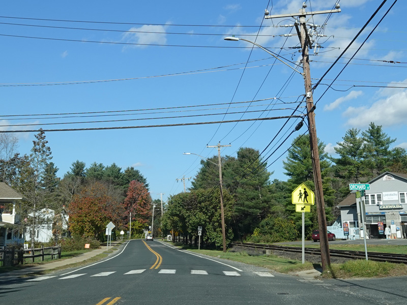
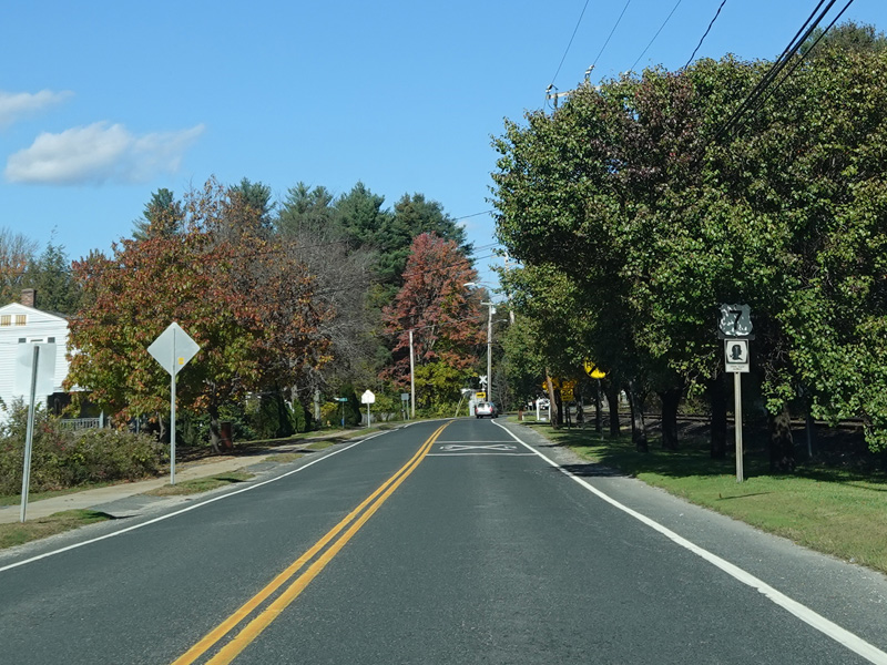
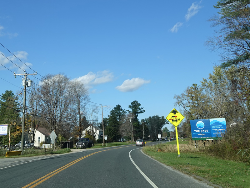
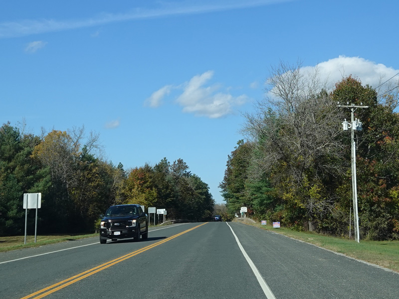
Kent Road runs north as a two-lane undivided road.
Photos taken April 2017.

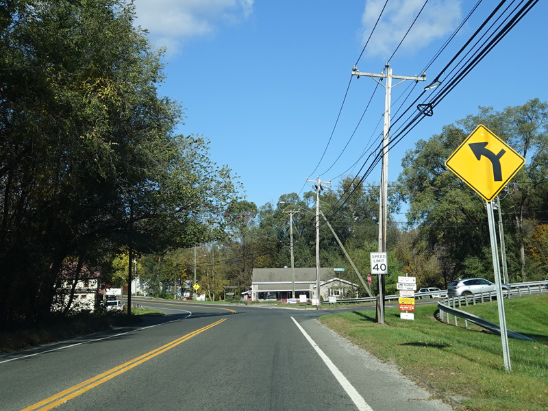
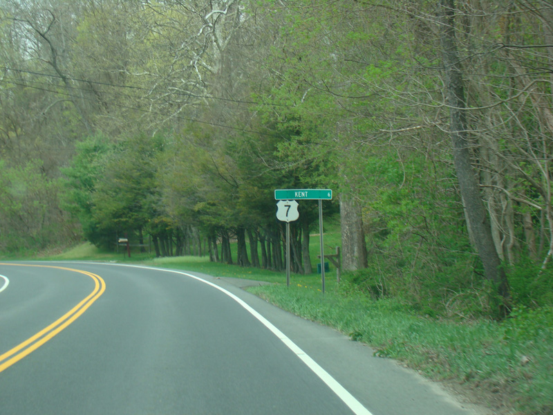
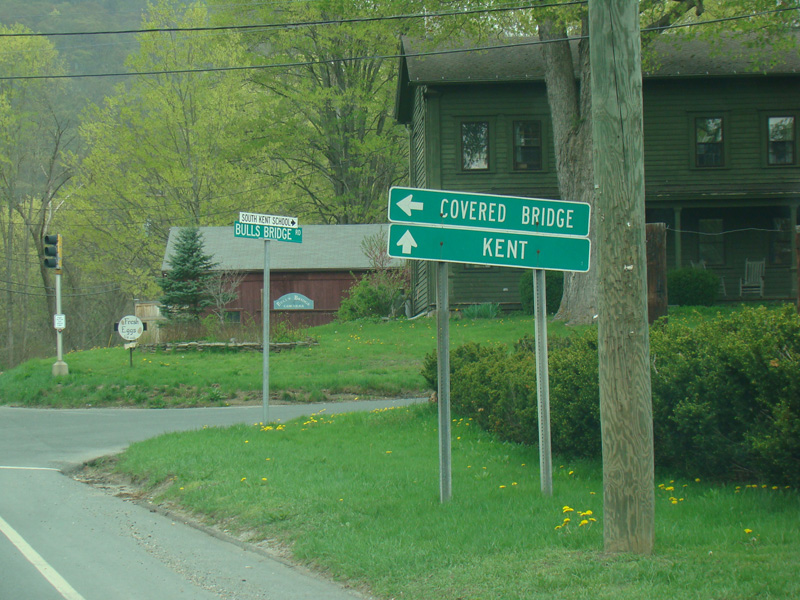
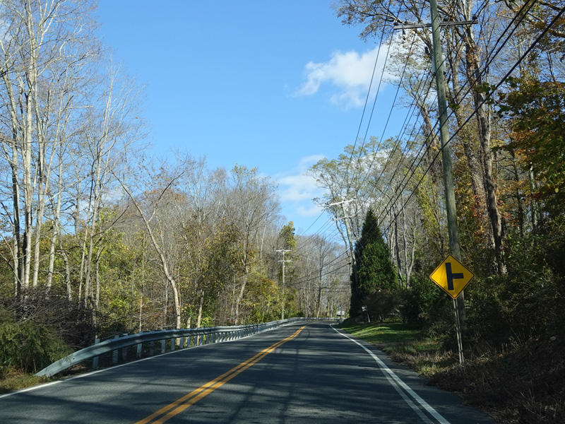
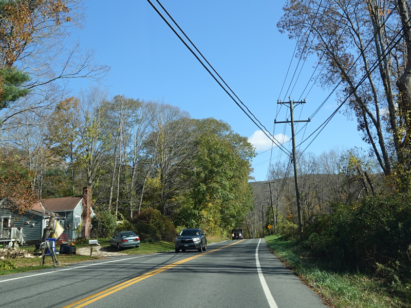
Welcome to Kent!
Photos taken April 2017.


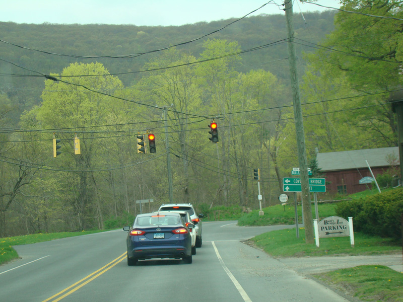
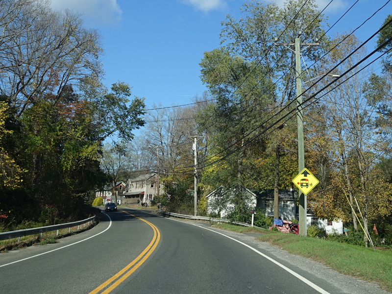
There is a traffic light at Bulls Bridge Road.
Photos taken April 2017.
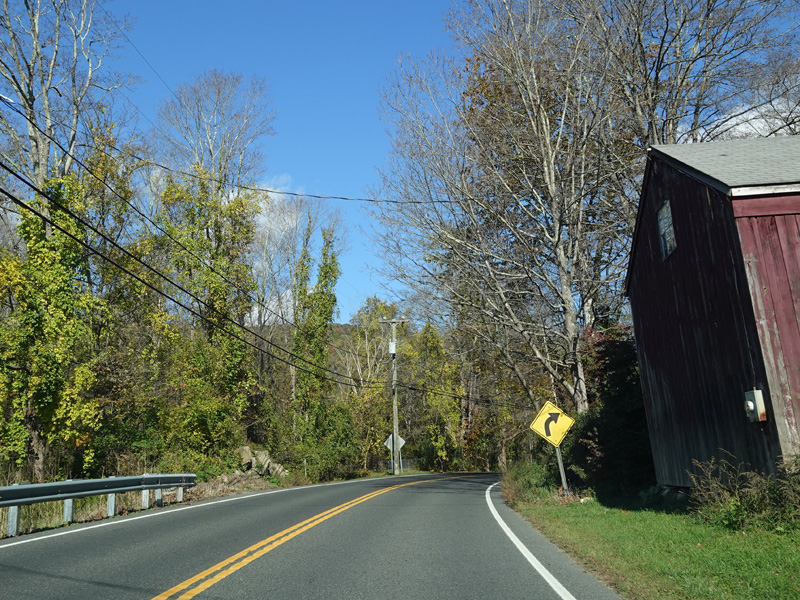
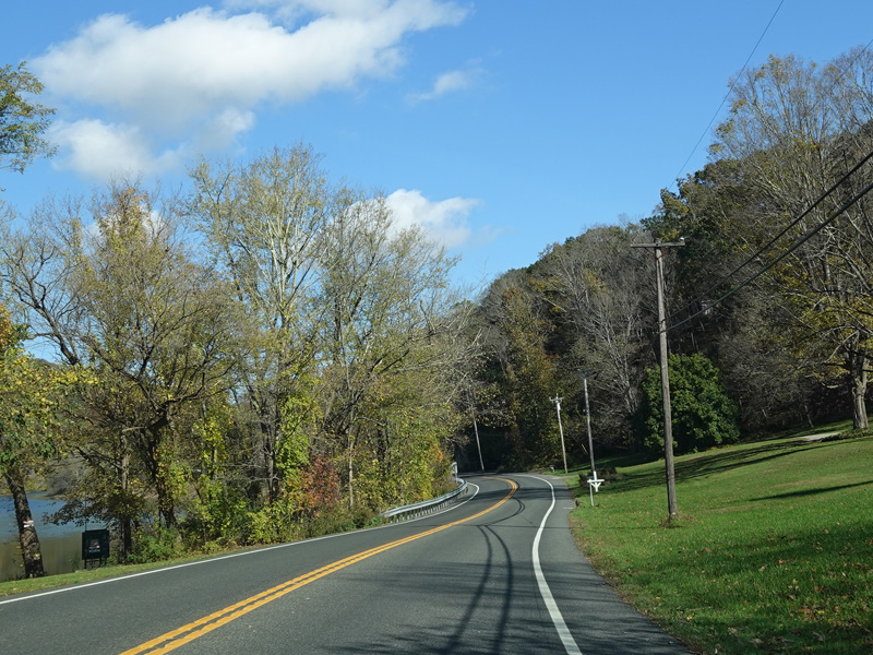


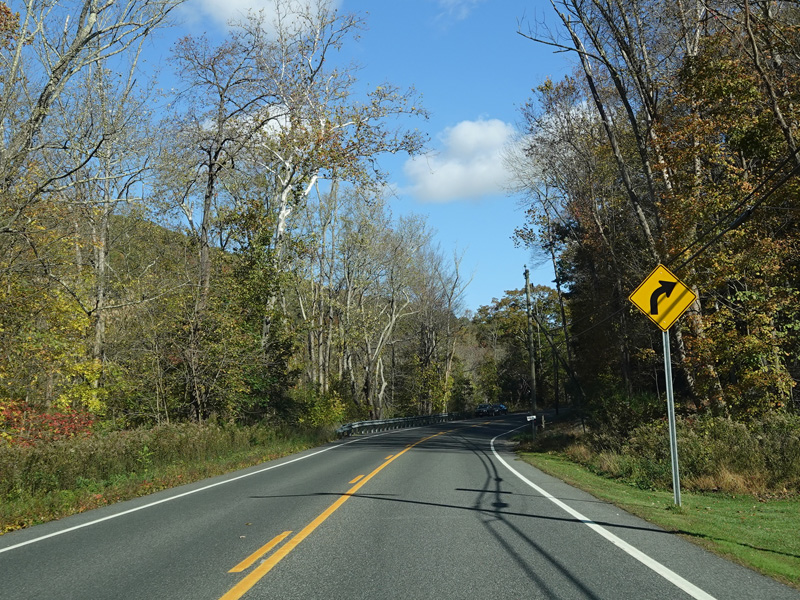


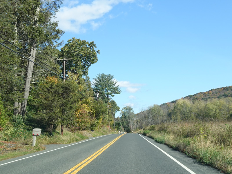

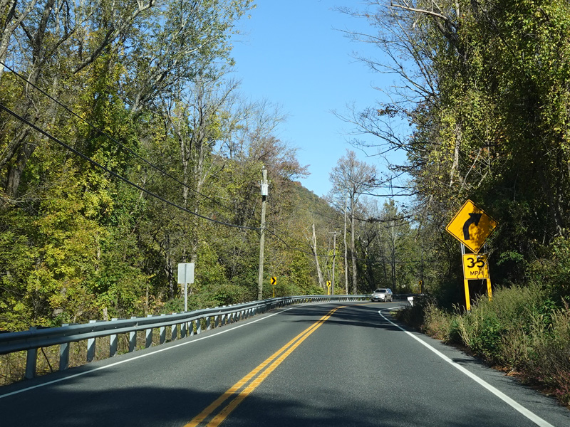


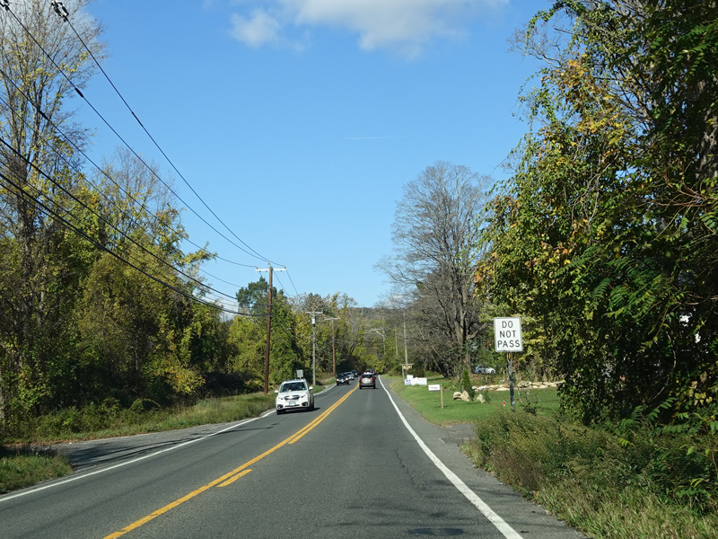
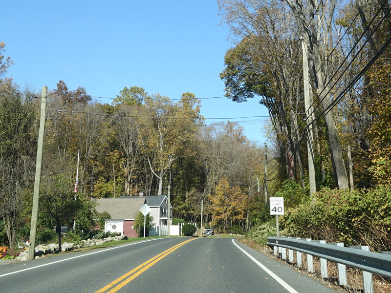
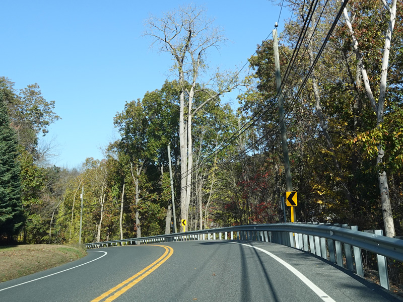
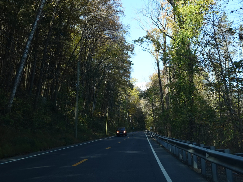
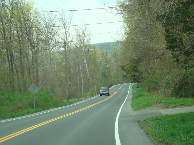
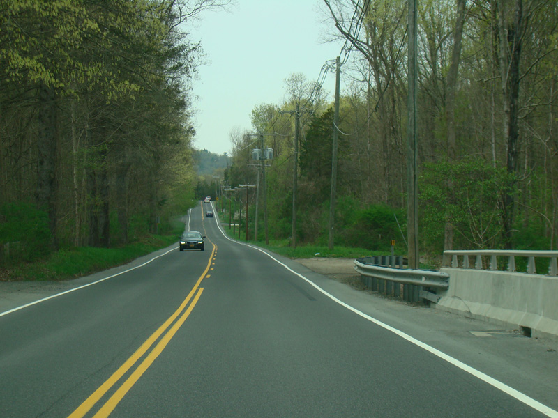
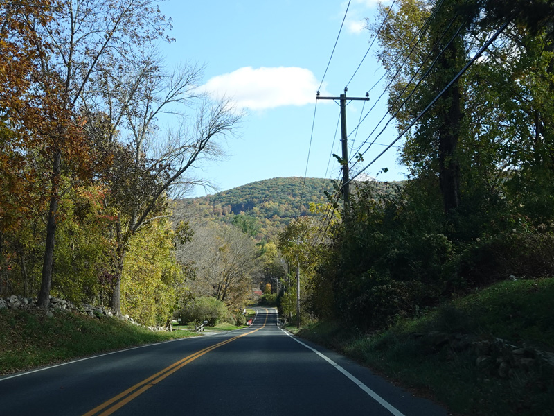
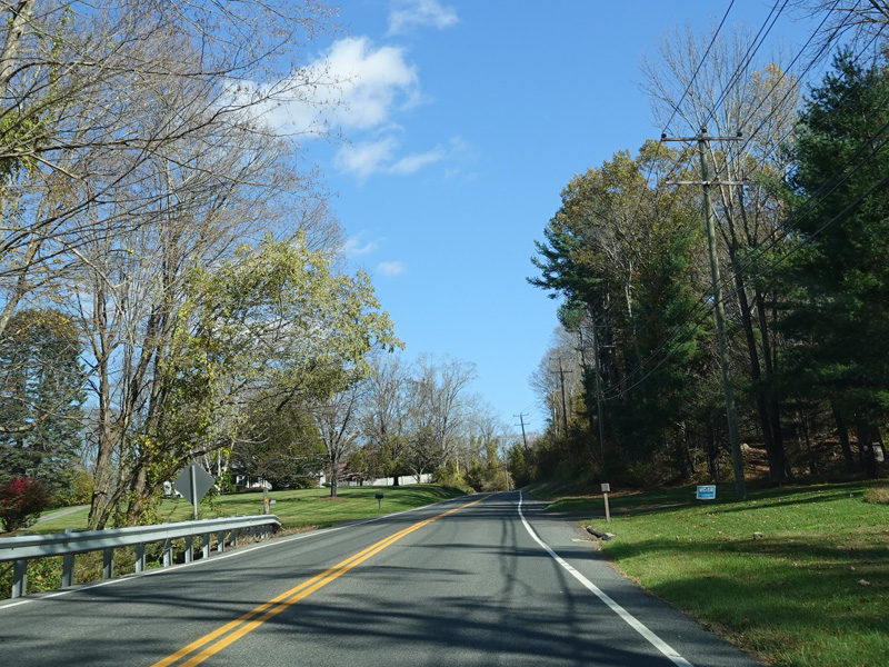
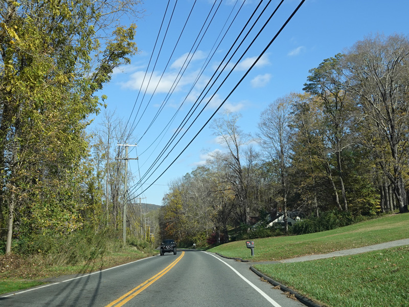
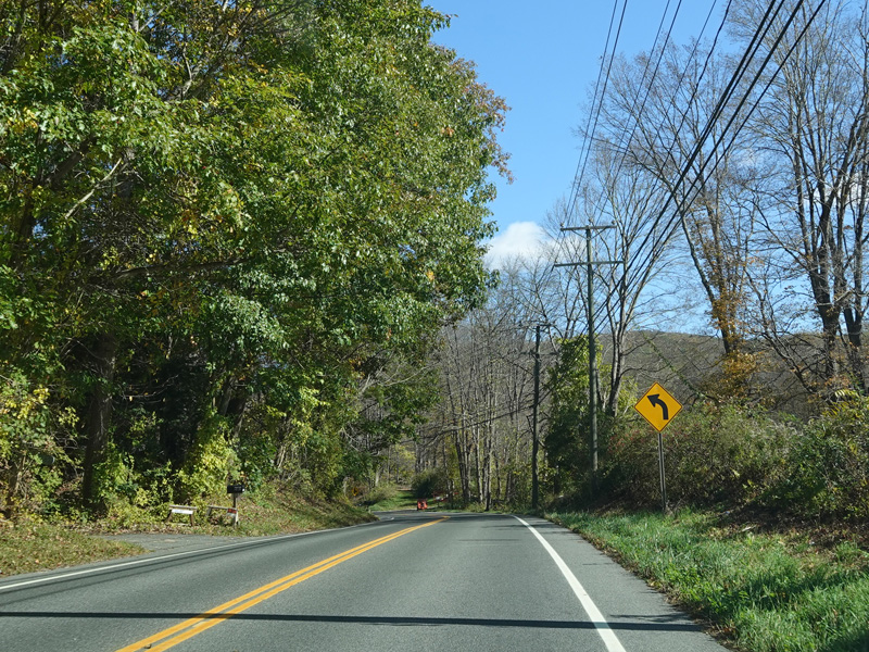
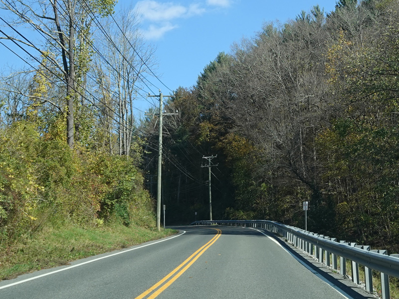
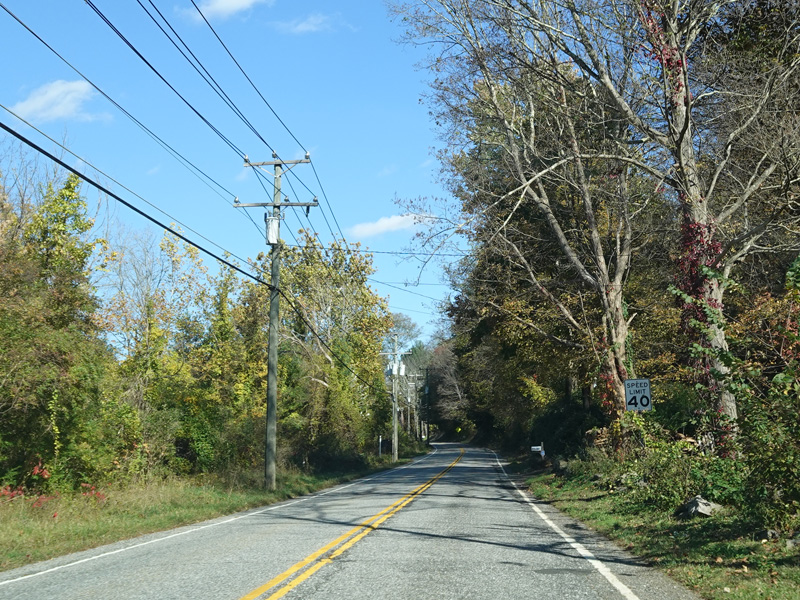
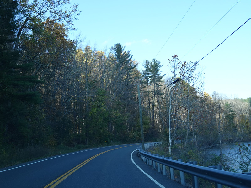
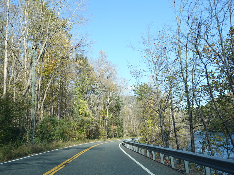
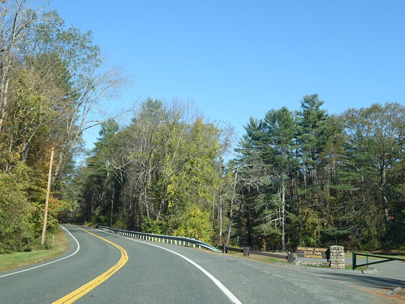
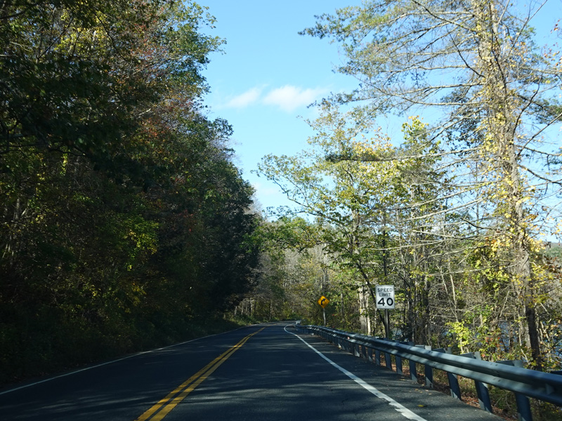
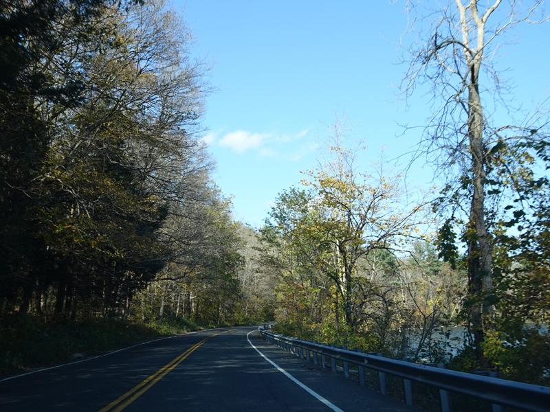
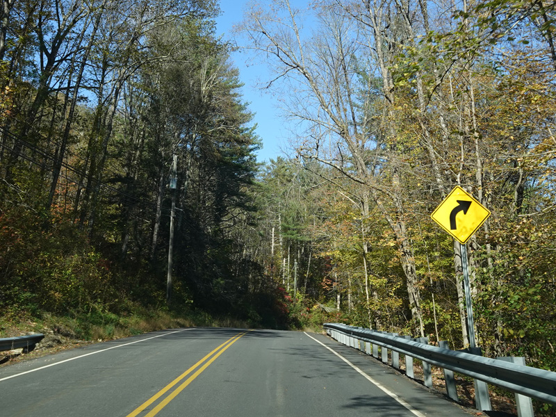
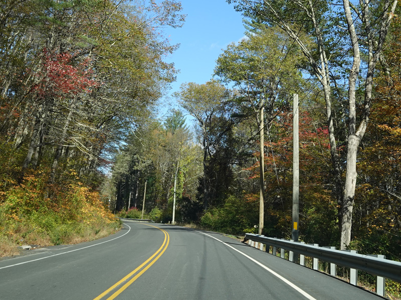
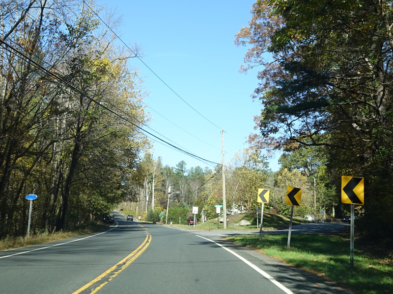
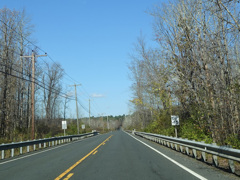
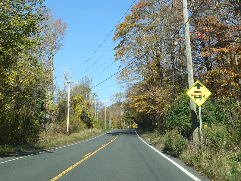
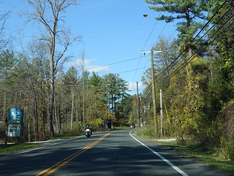
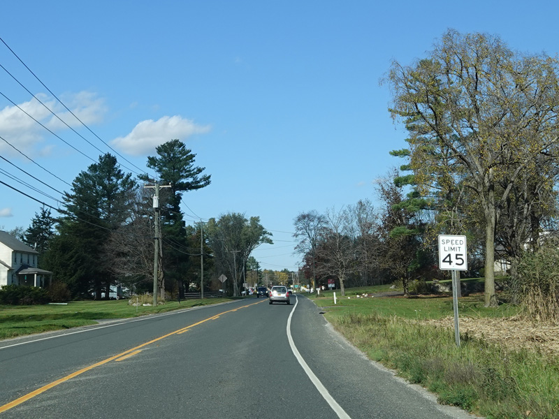
Kent Road runs along the Housatonic River for a few miles.
Photos taken October 2021.
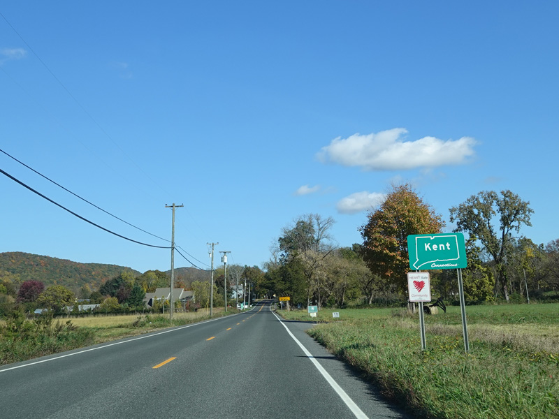
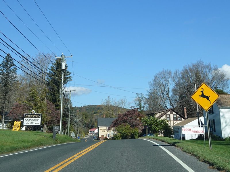
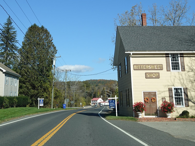
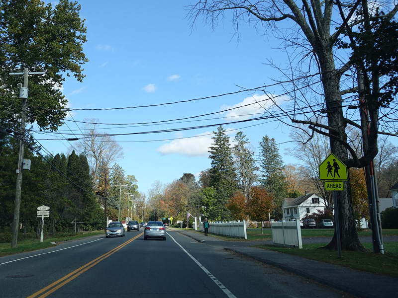
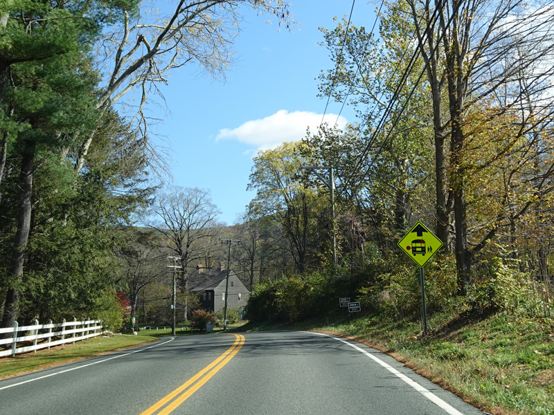
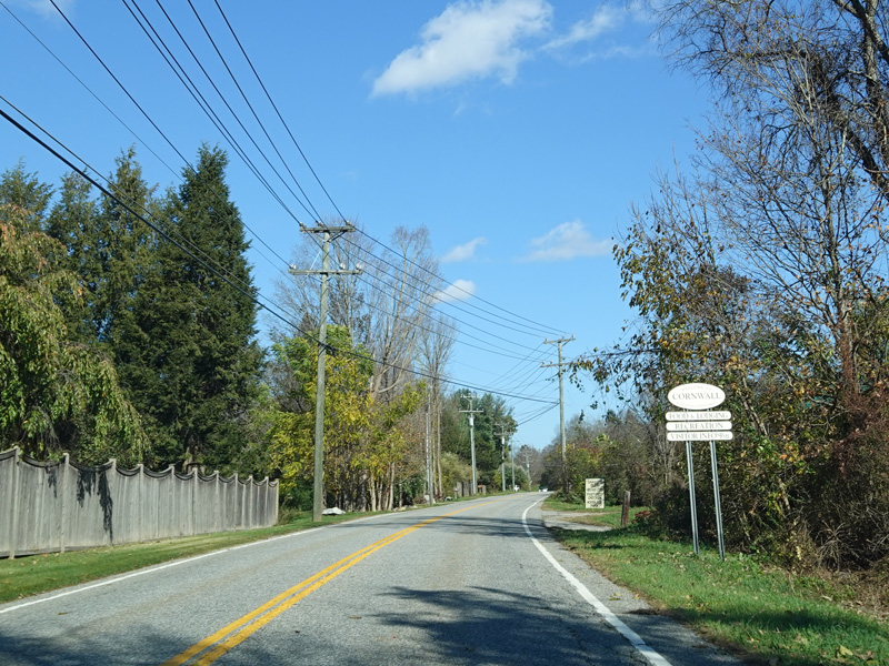
Welcome to Kent!
Photos taken October 2021.

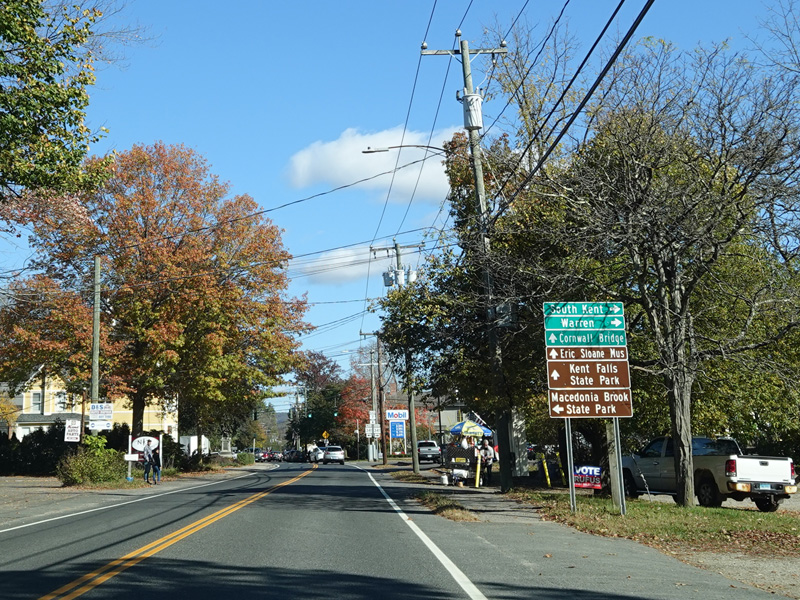

There is a traffic light at CT 341. Turn right onto Maple Street to go east or left onto Bridge Street to go west.
Photos taken October 2021.

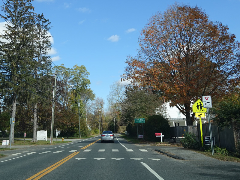


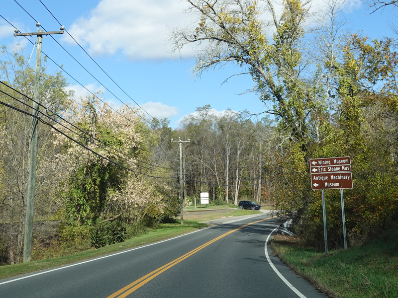


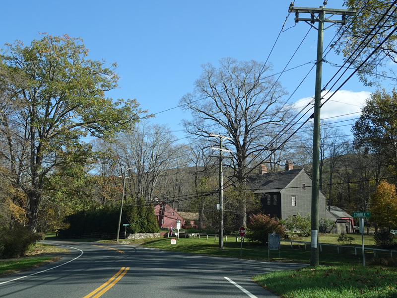

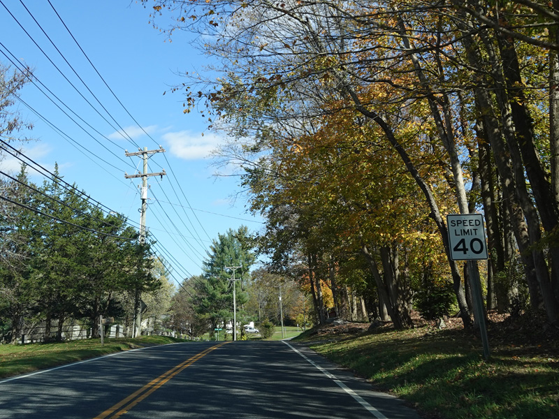

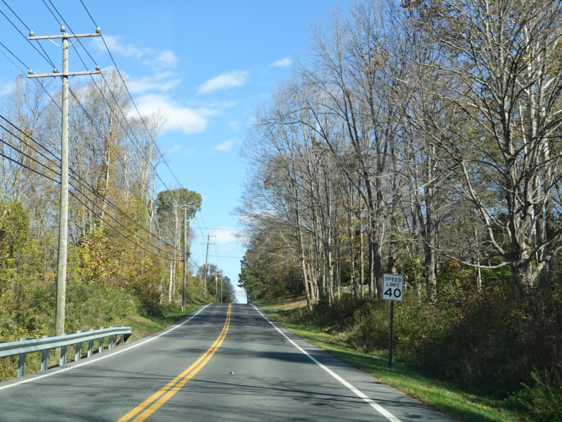


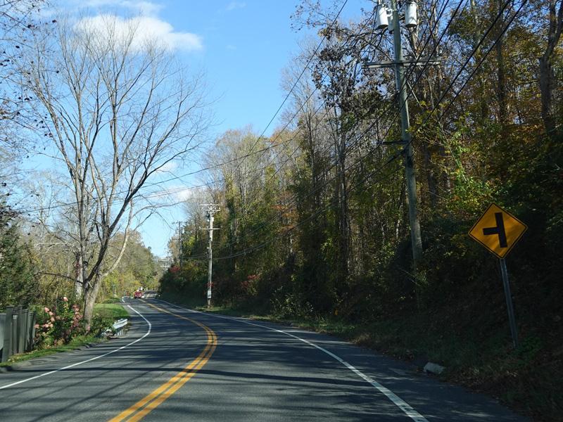

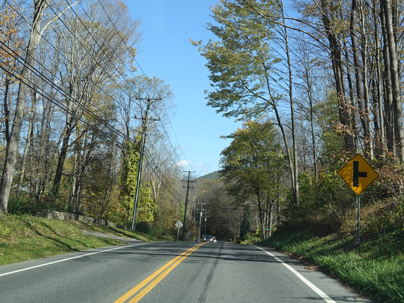
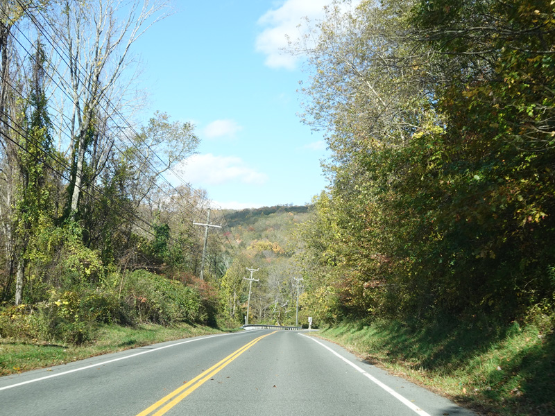
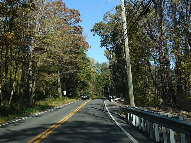
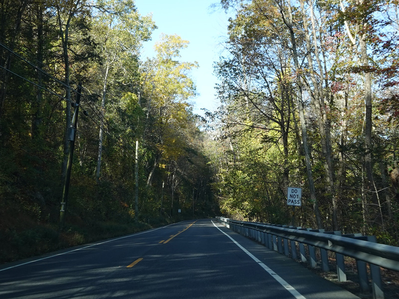
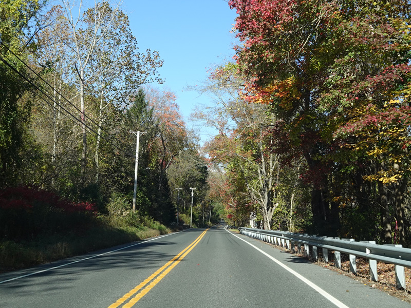
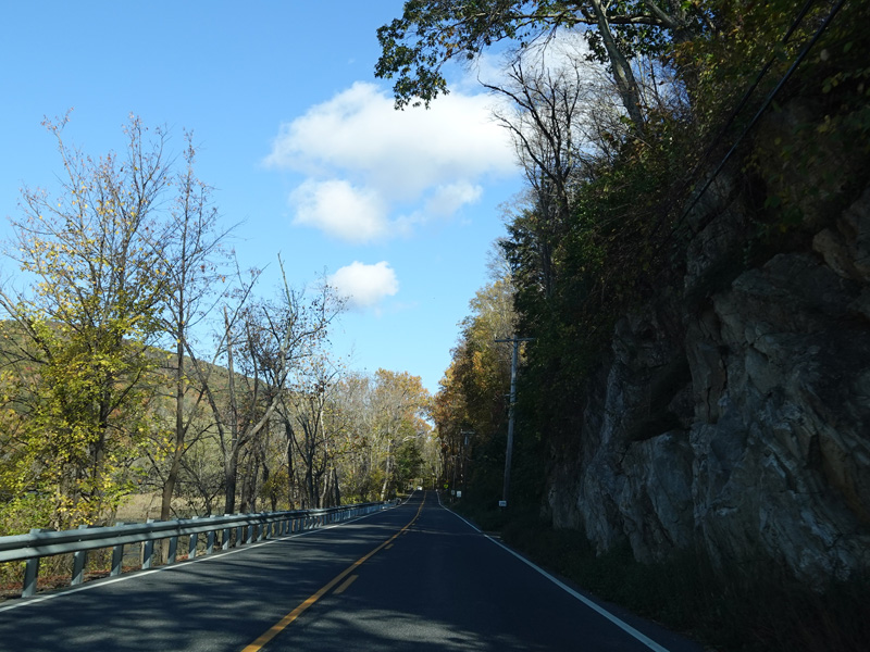
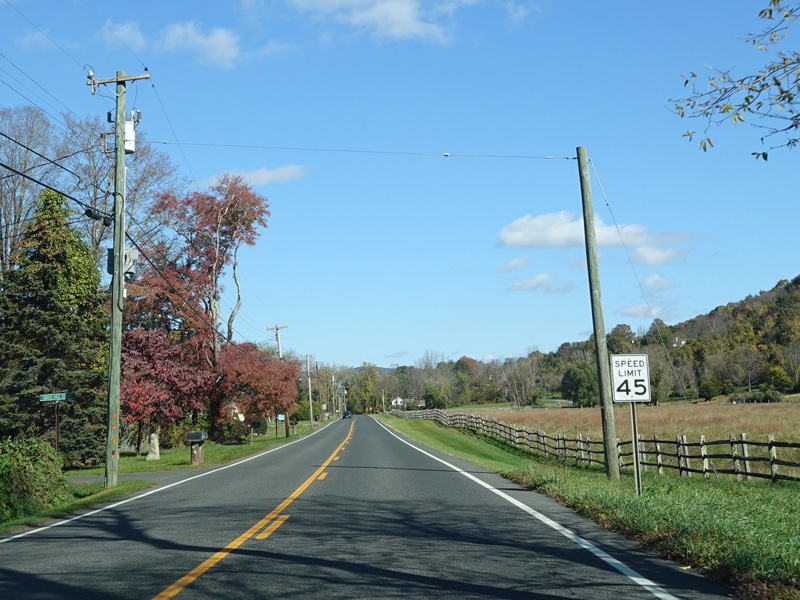
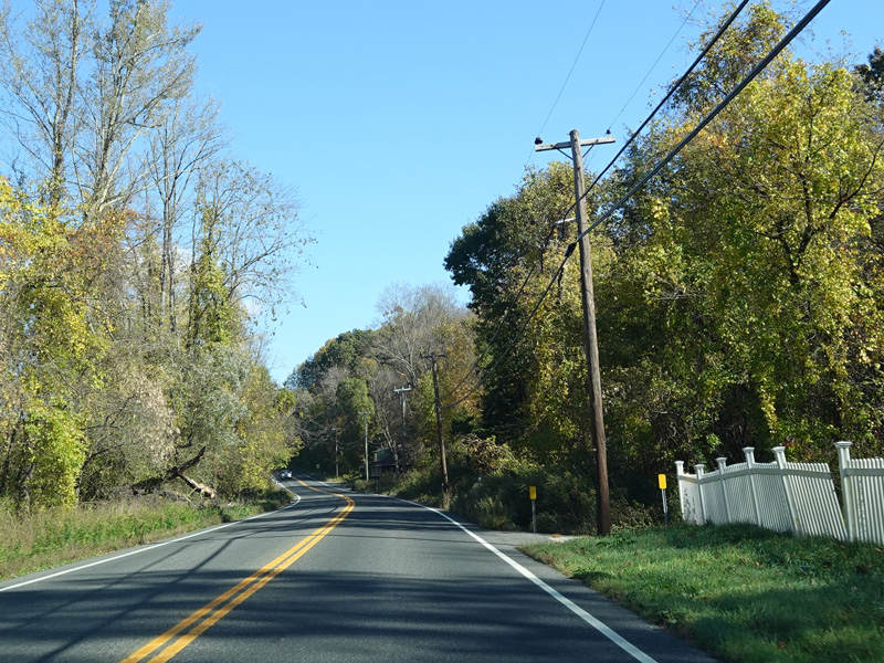
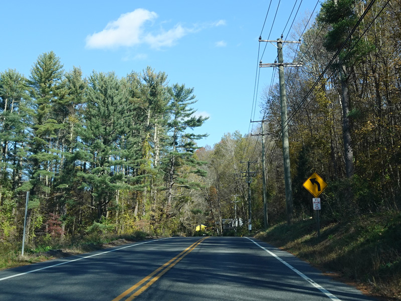
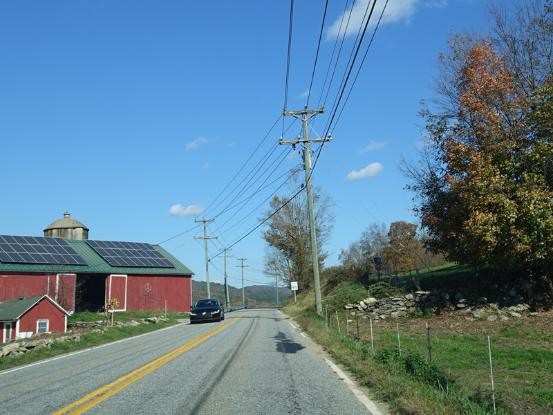
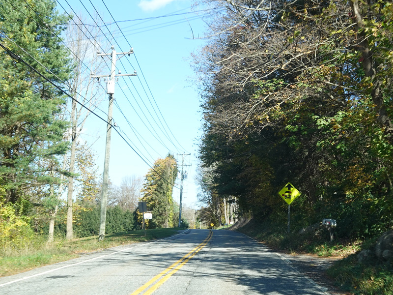
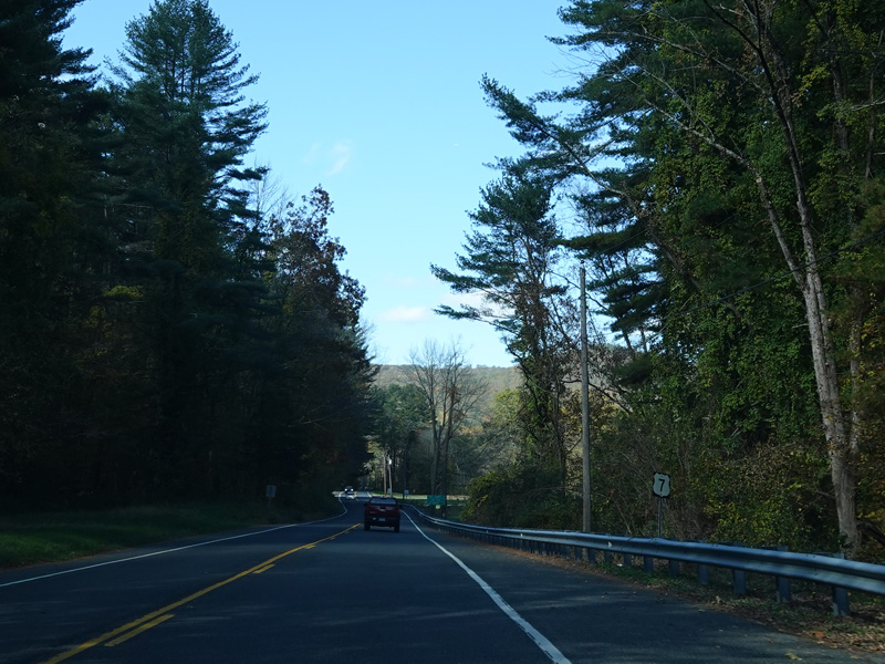
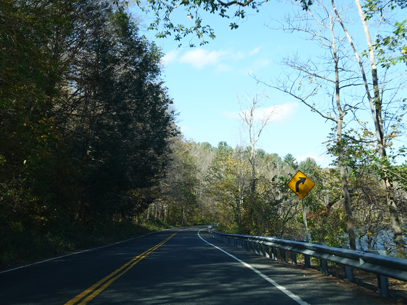
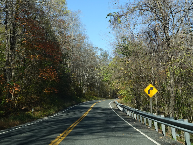
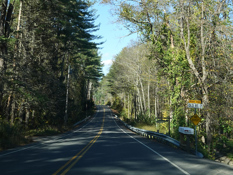
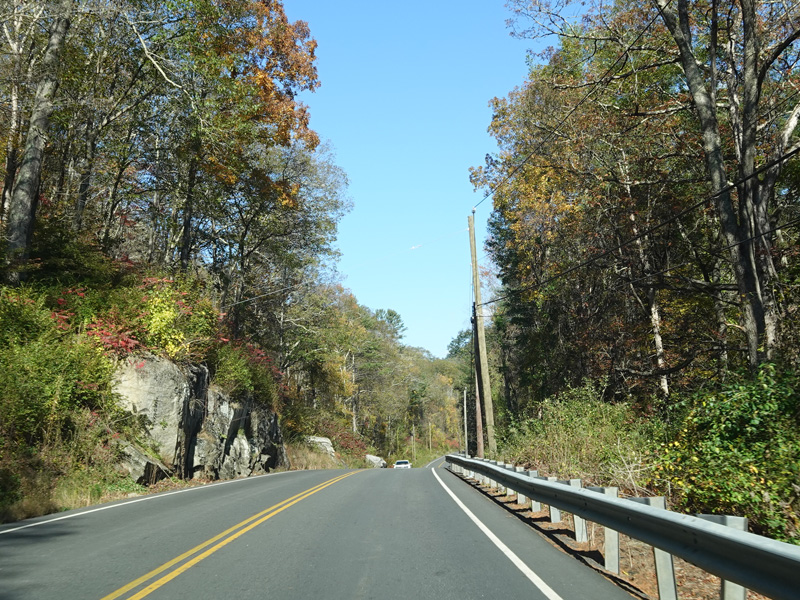
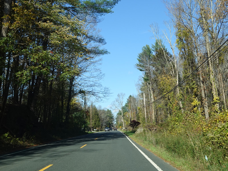
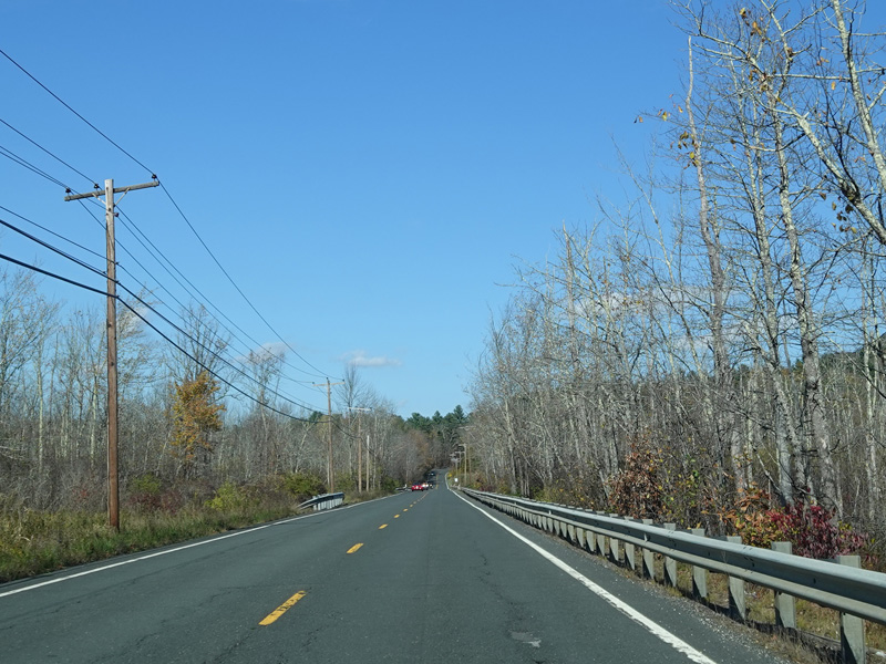
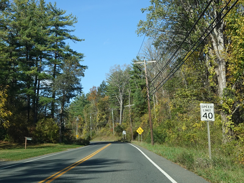
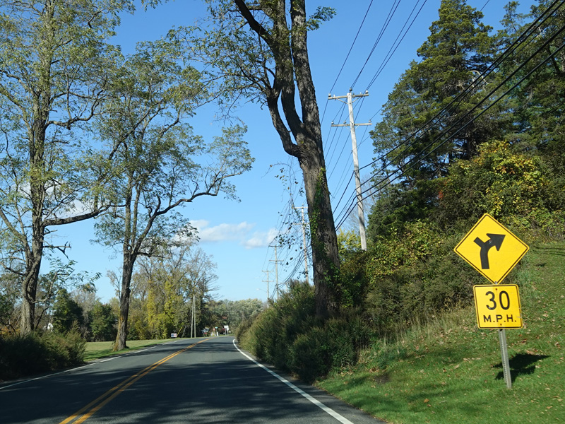
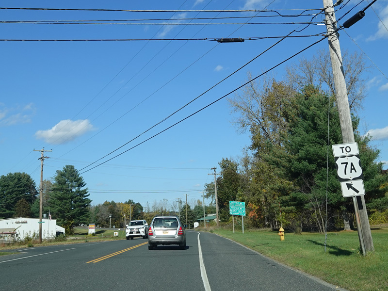
Heading out of town, US 7 is known as Kent-Cornwall Road.
Photos taken October 2021.
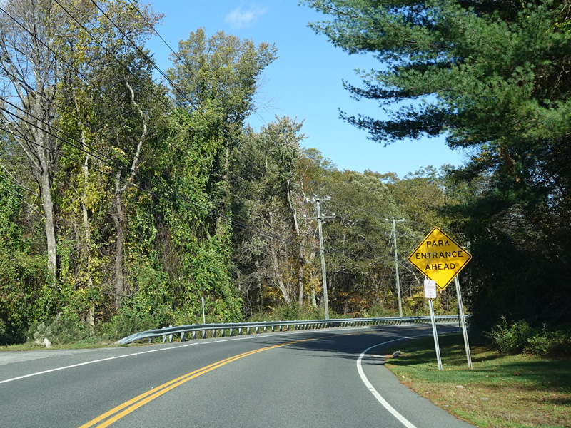

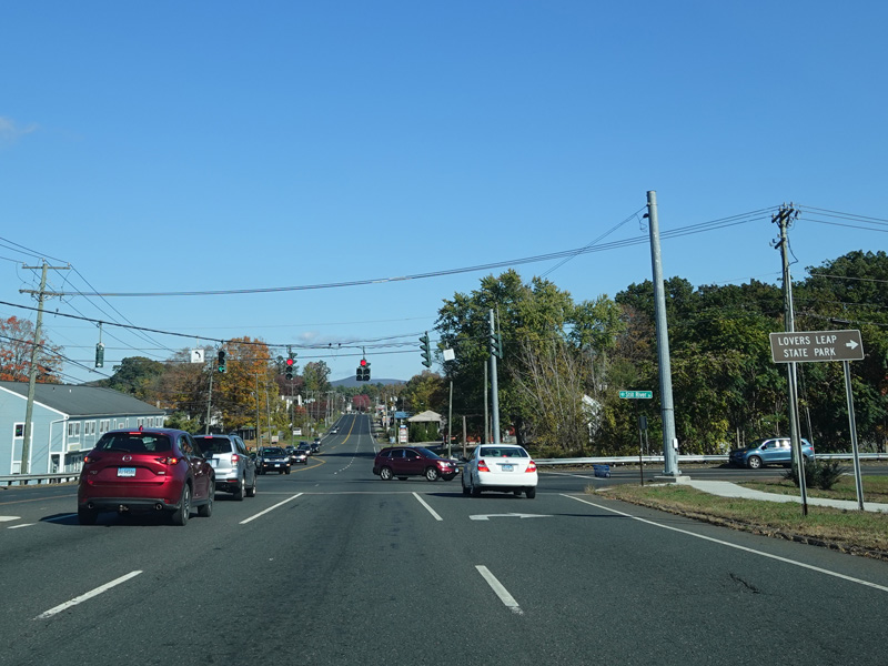
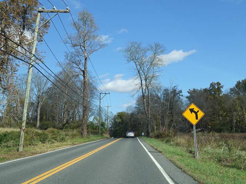
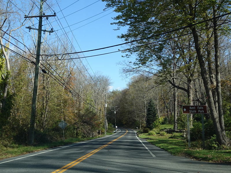
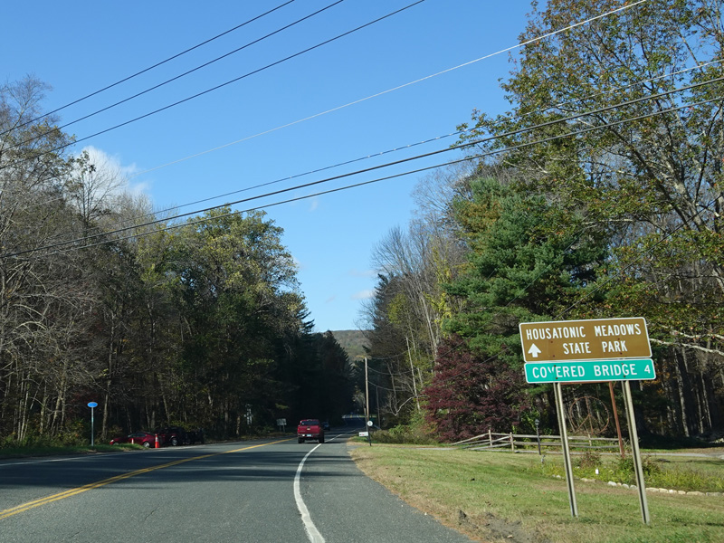
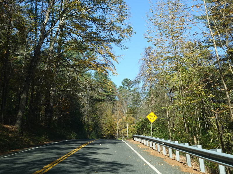
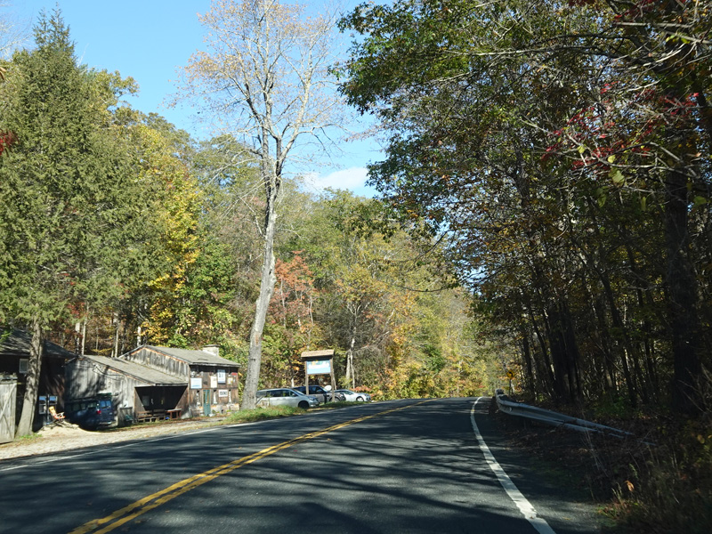
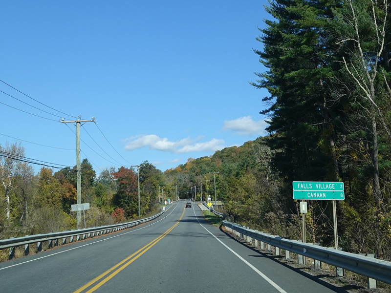
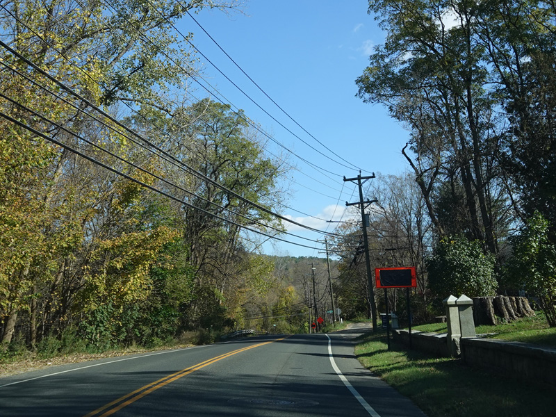
Kent Falls State Park is on the right here.
Photos taken October 2021.
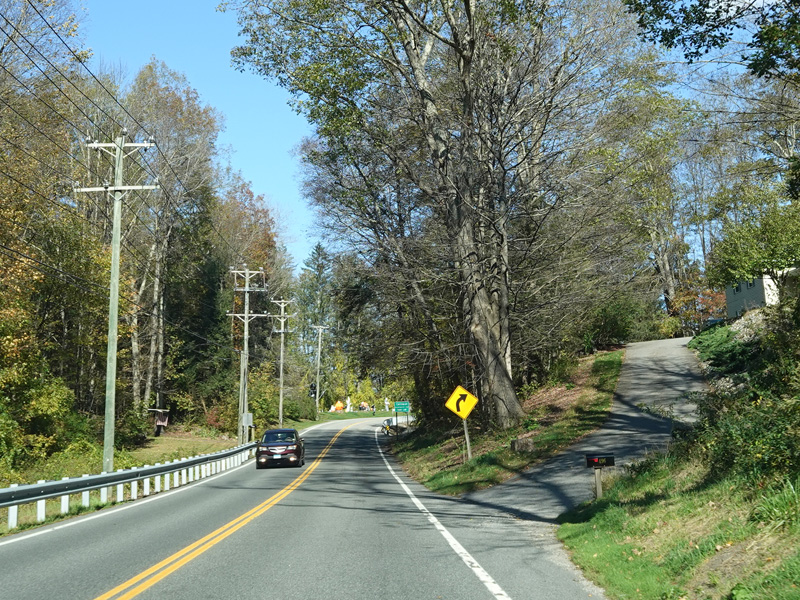
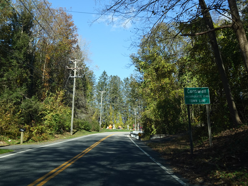


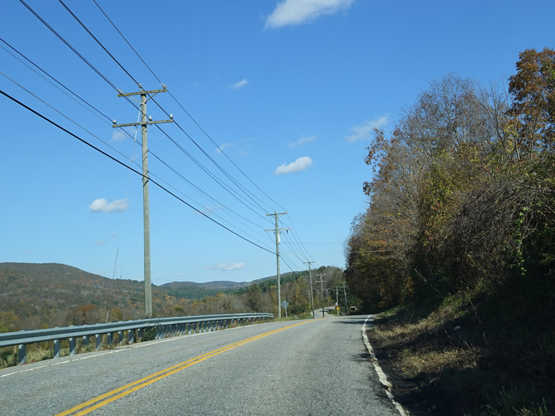


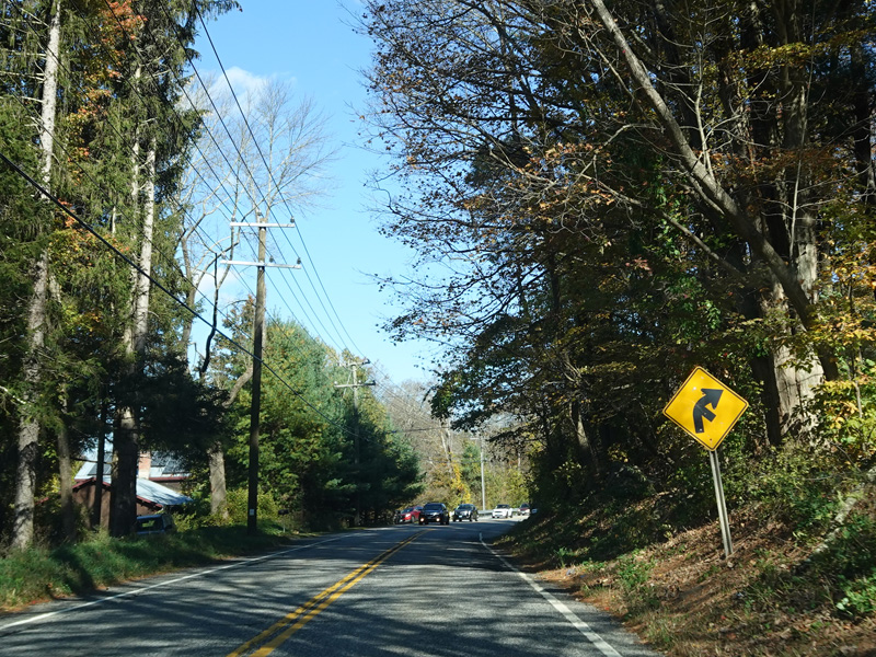

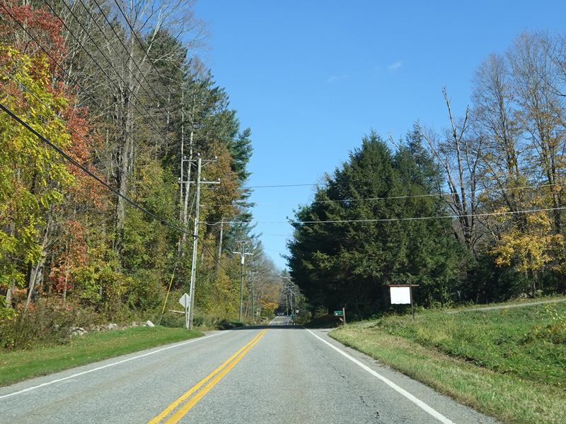
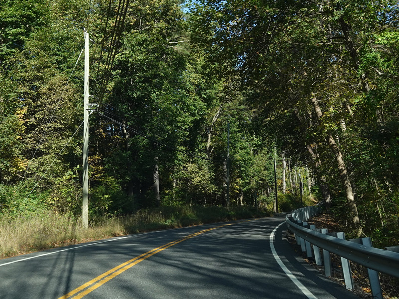
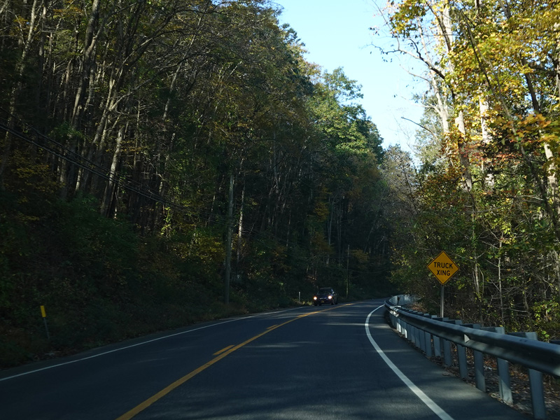
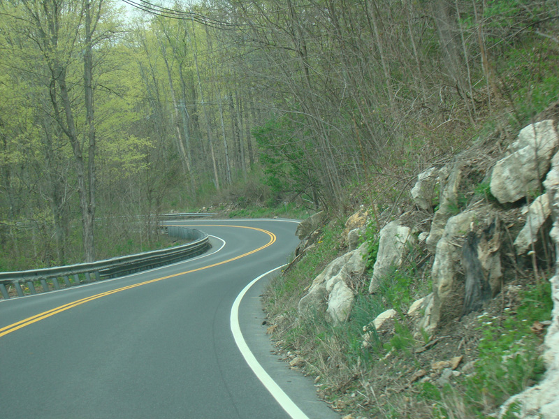
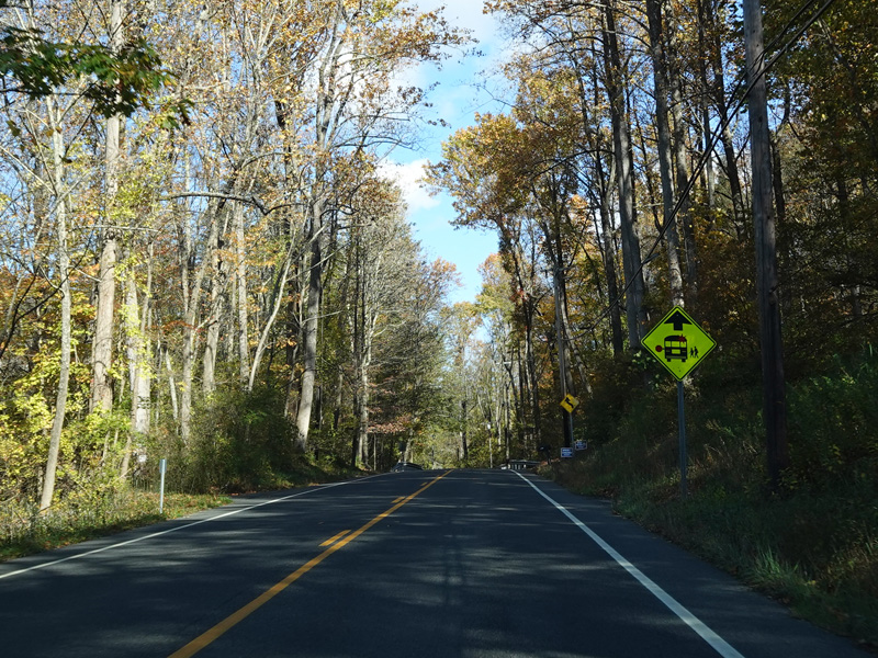
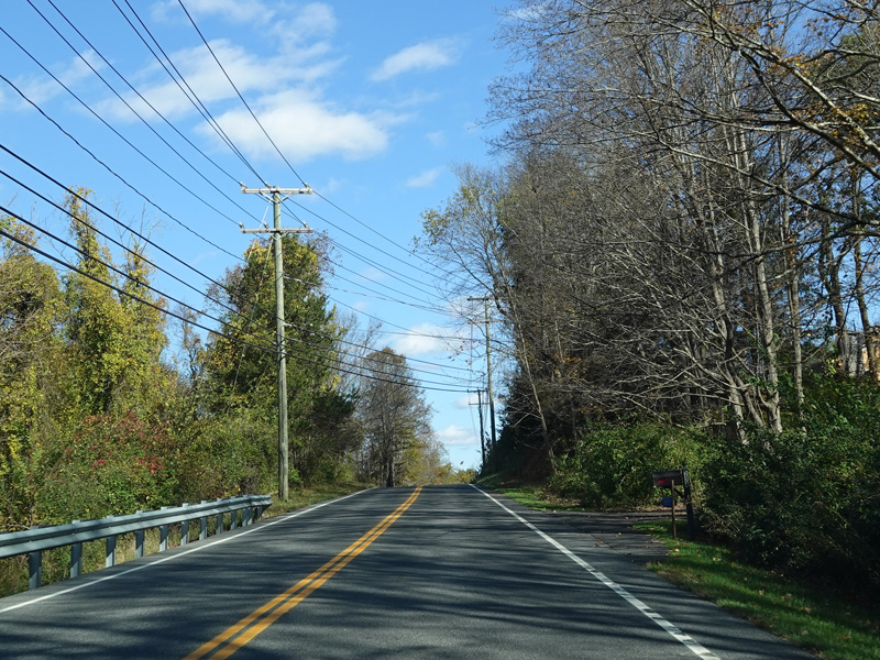
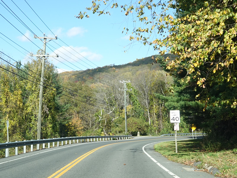
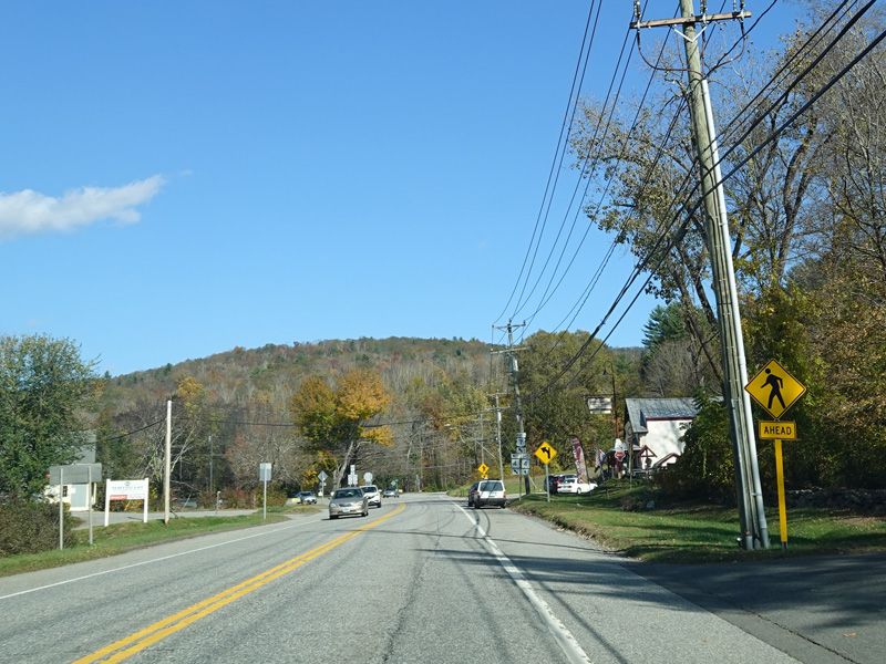
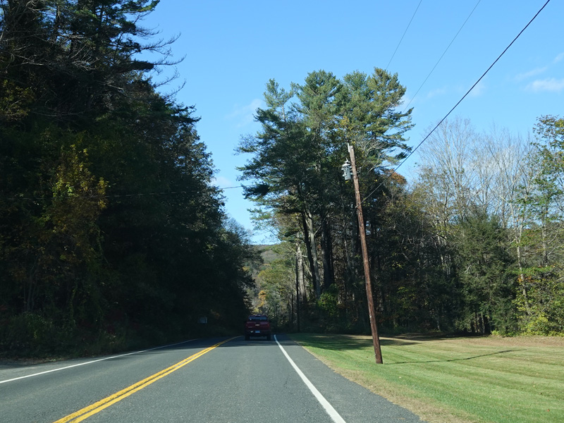
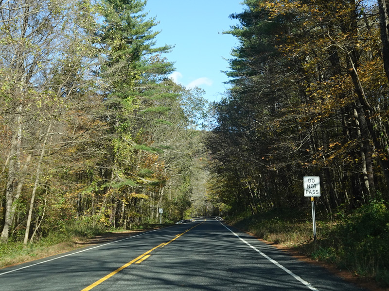
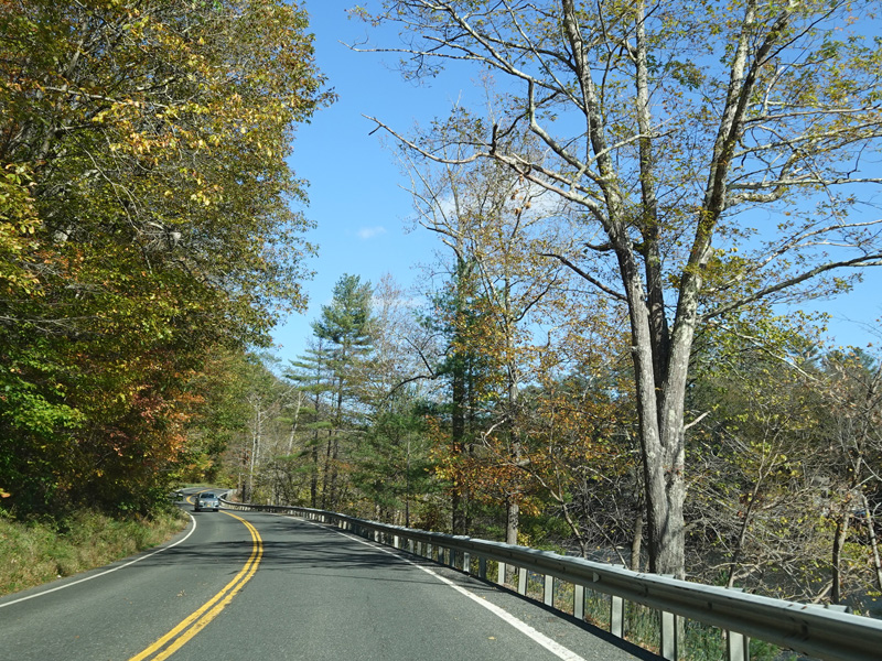
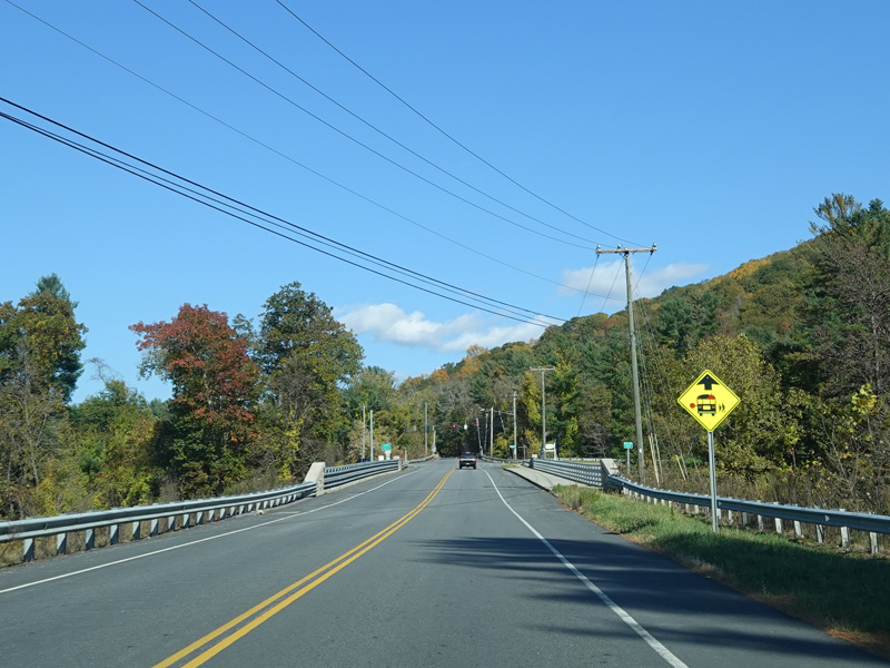
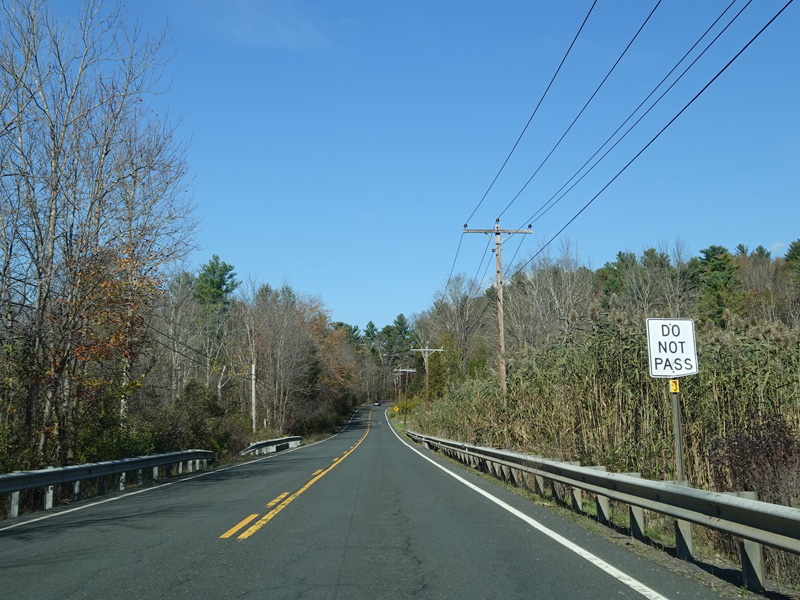
Kent-Cornwall Road continues north into the Town of Cornwall.
Photos taken October 2021.


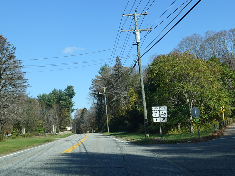
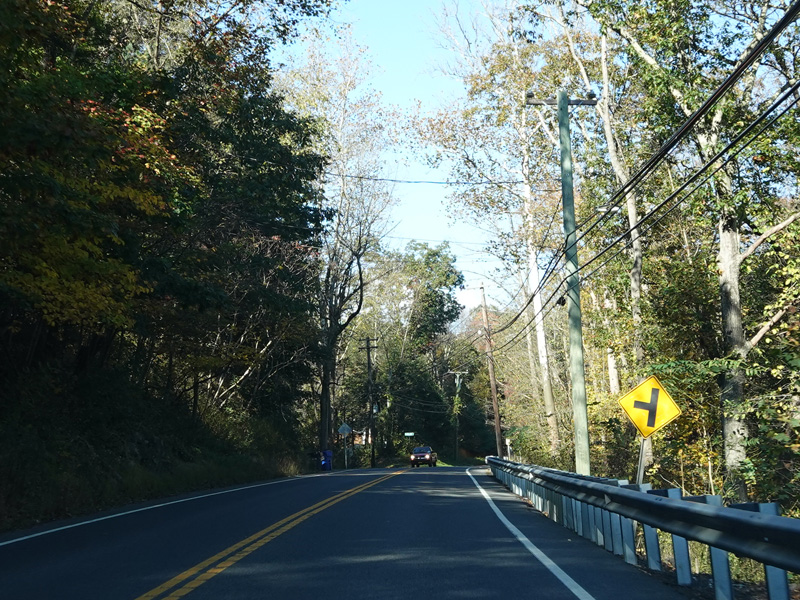
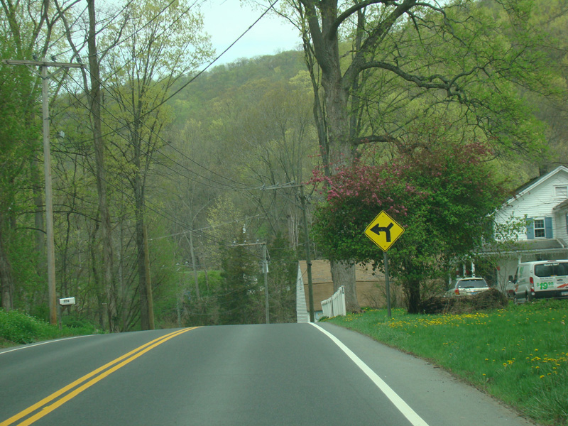
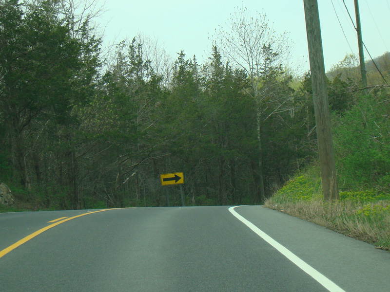
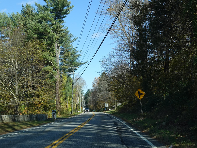
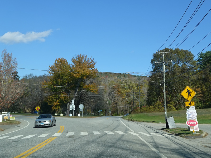
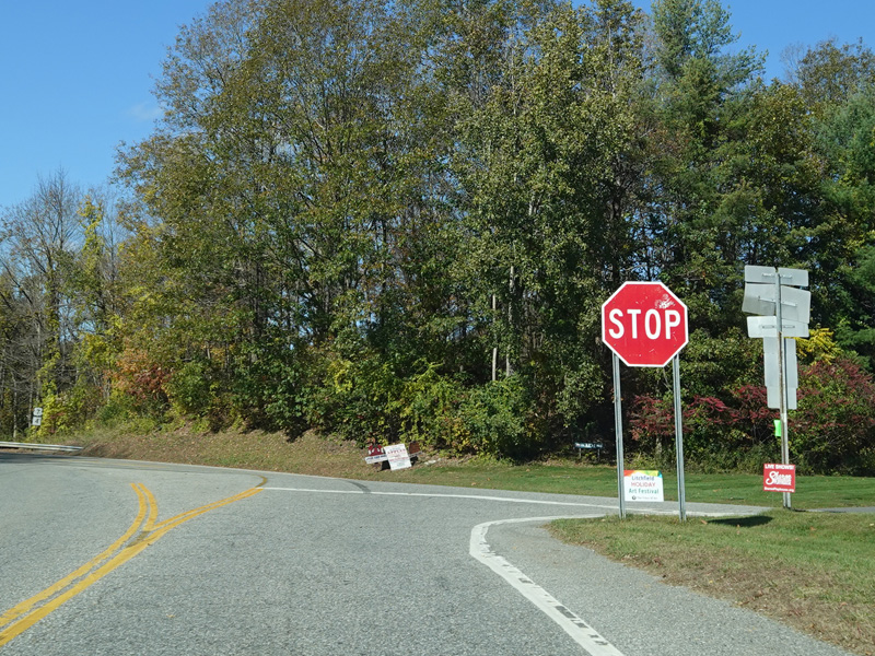
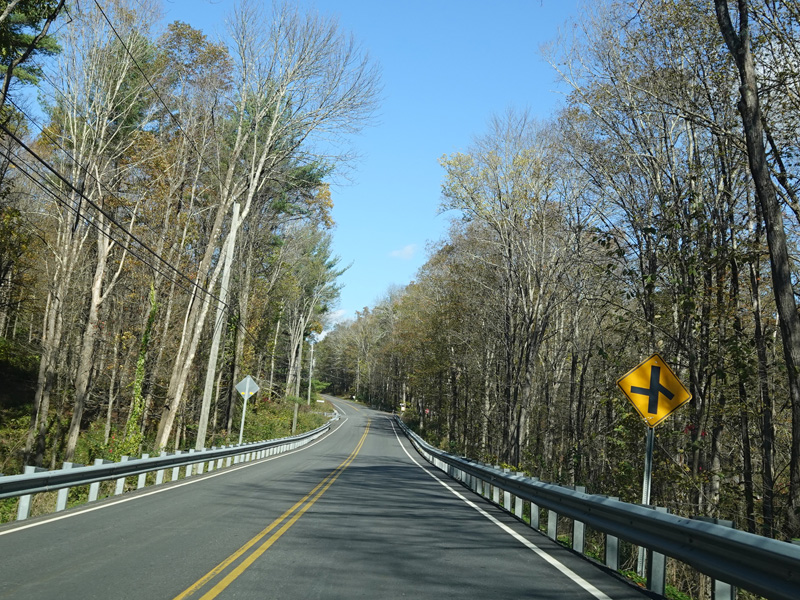
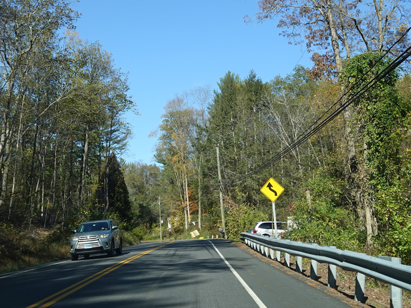
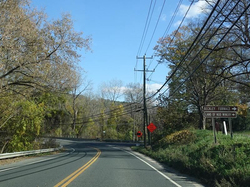
Warren Hill Road (CT 45) begins on the right.
Photos taken October 2021.


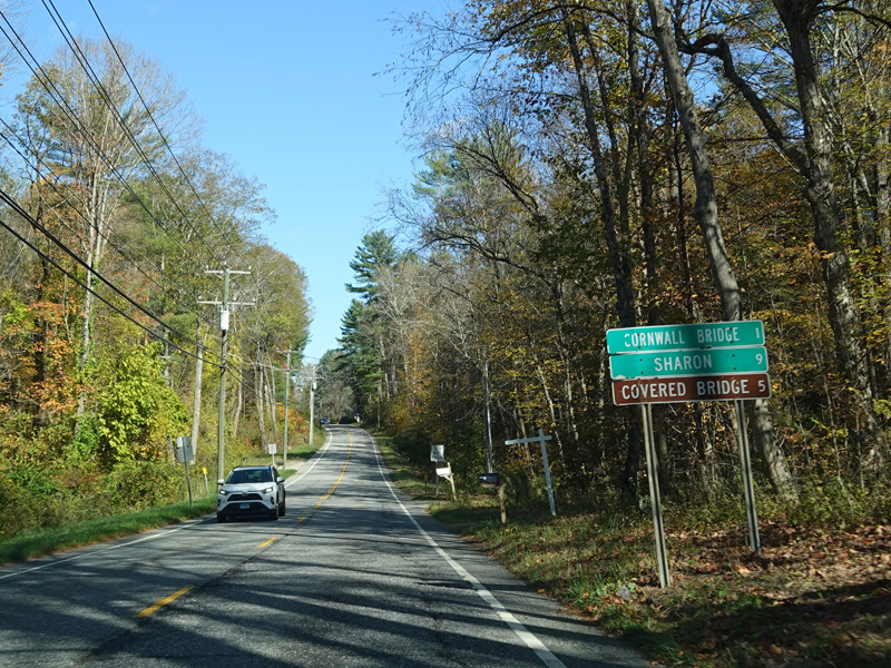

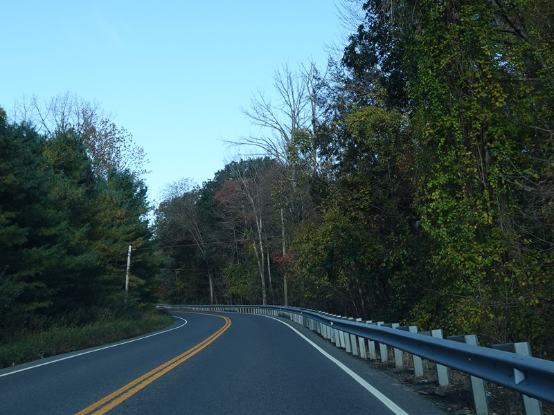
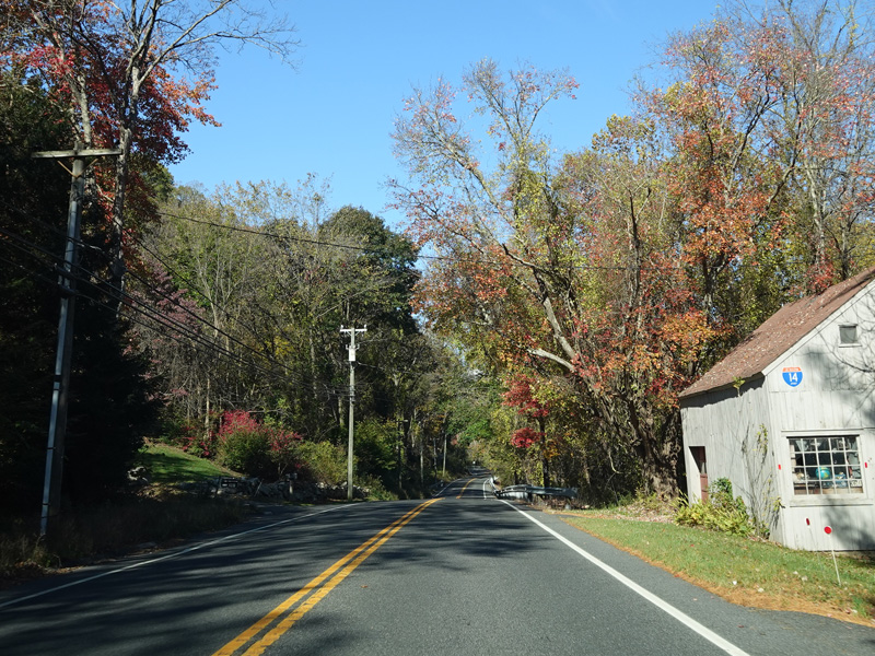
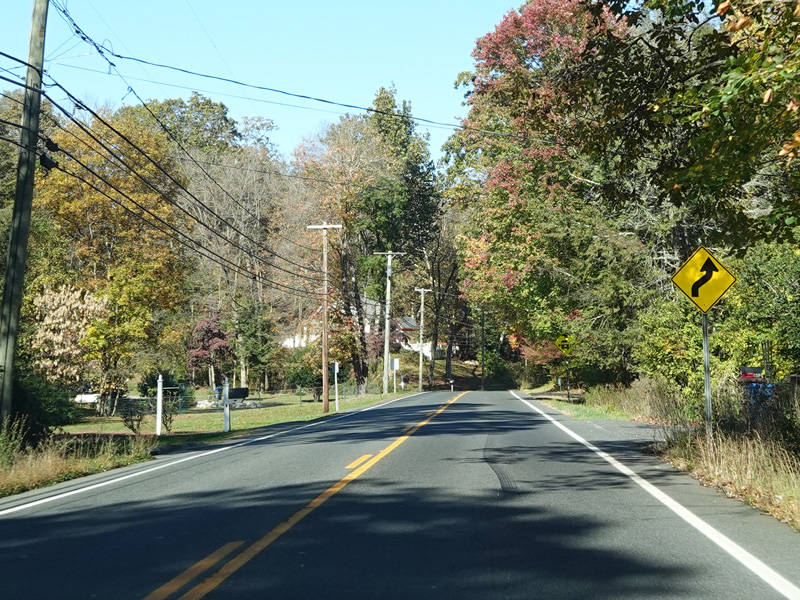
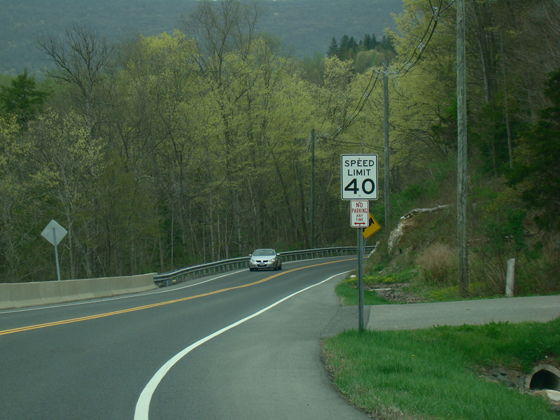
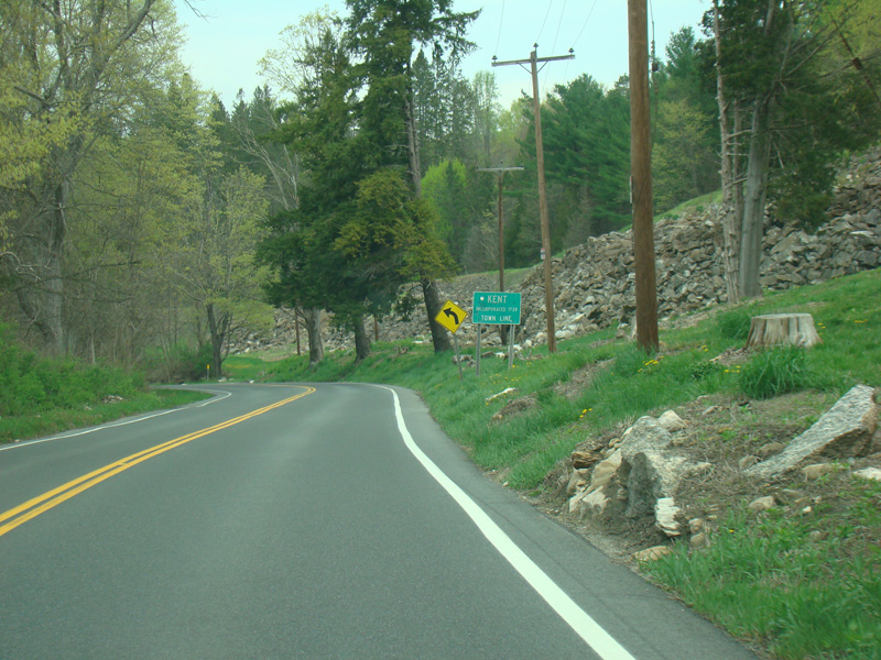
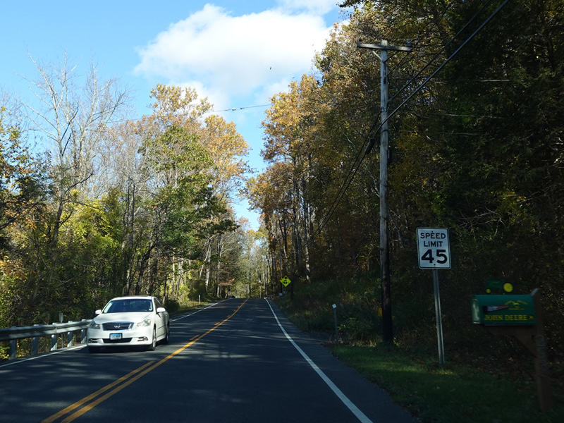
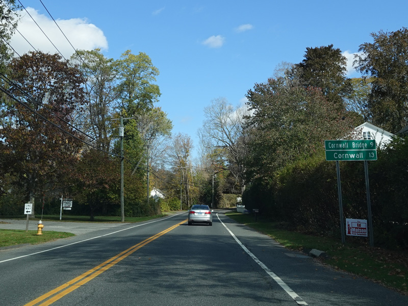
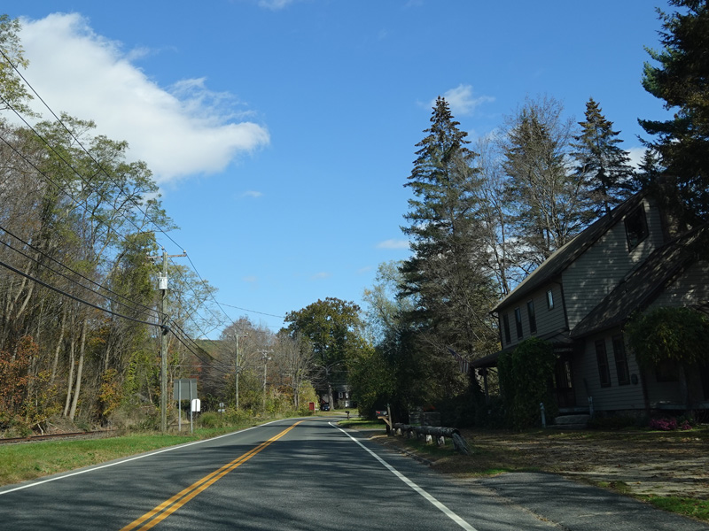
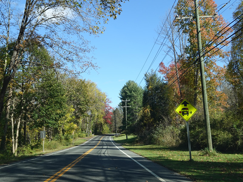
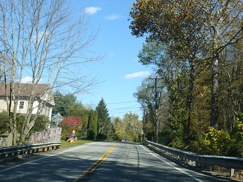
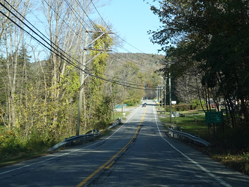
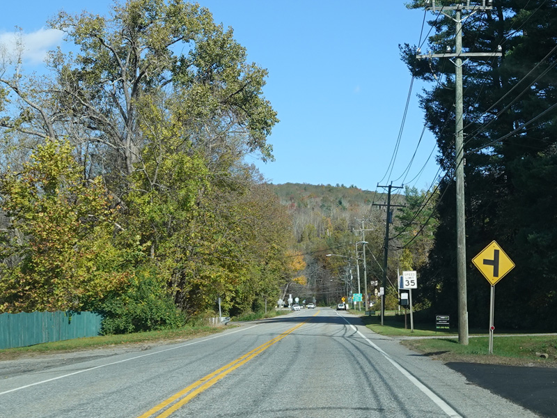
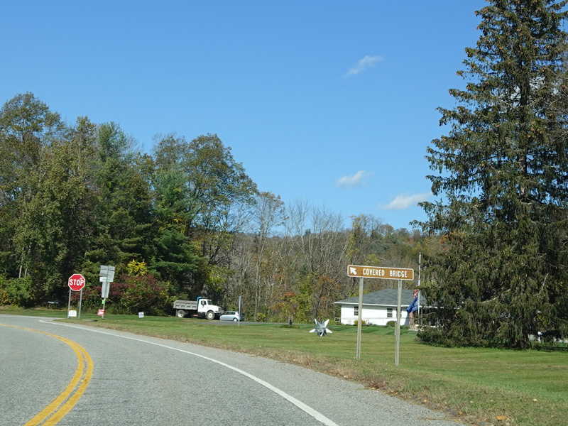
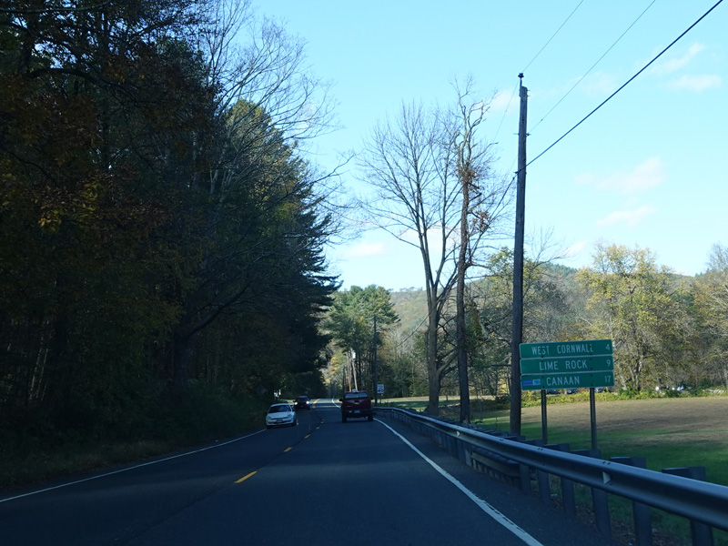
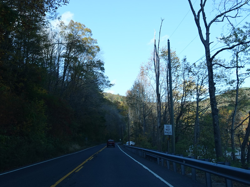
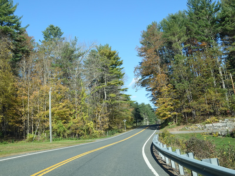
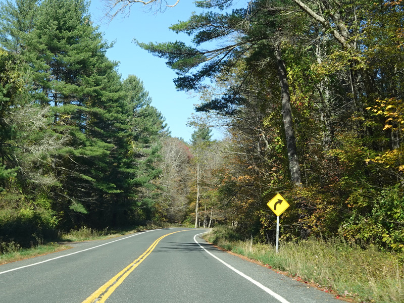
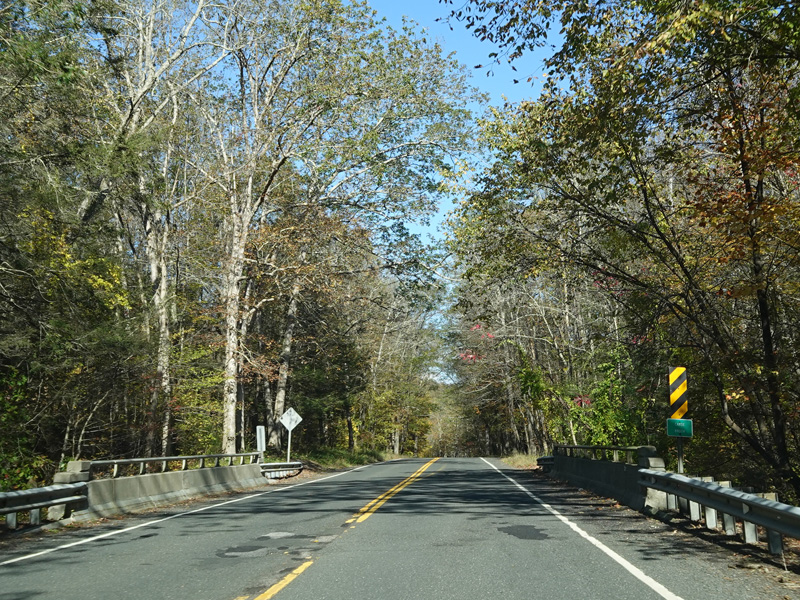
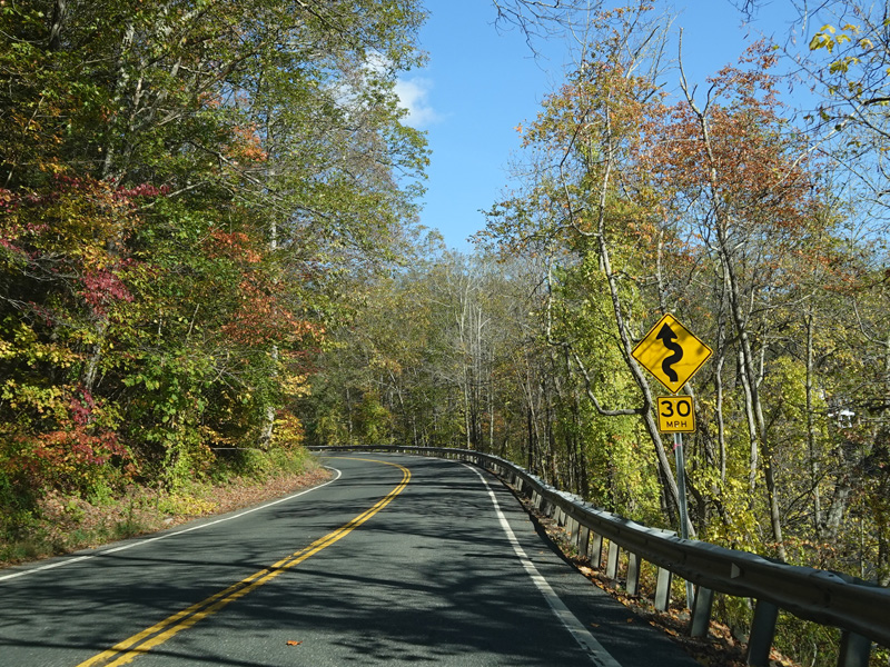
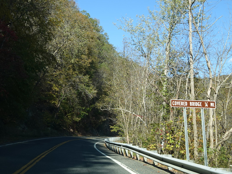
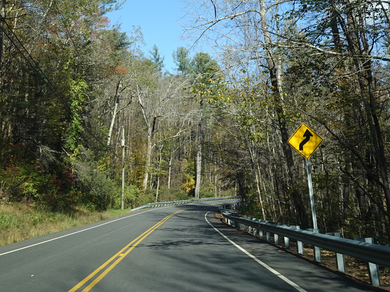
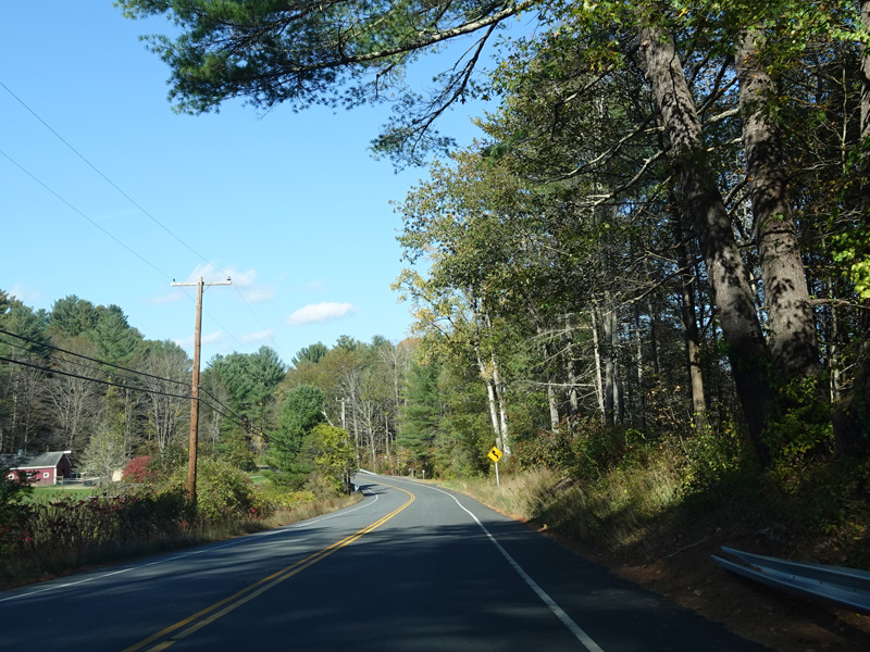
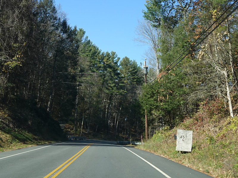
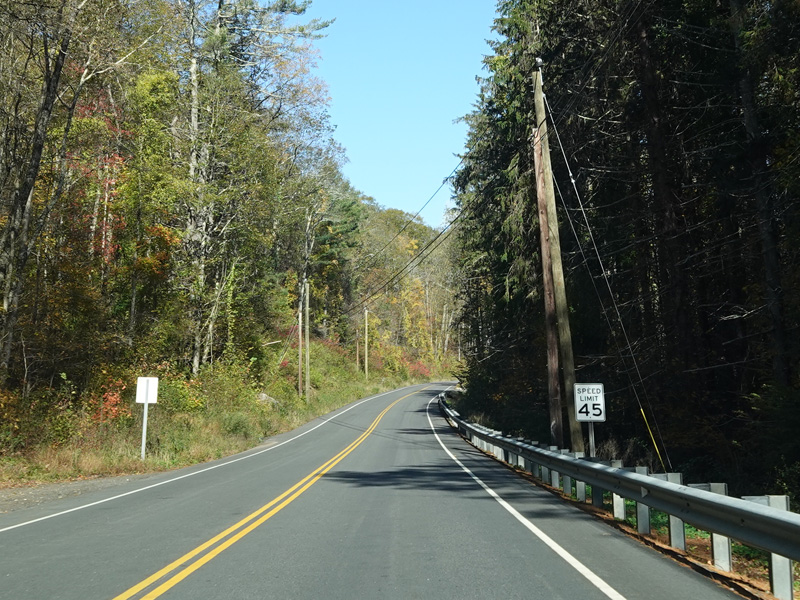
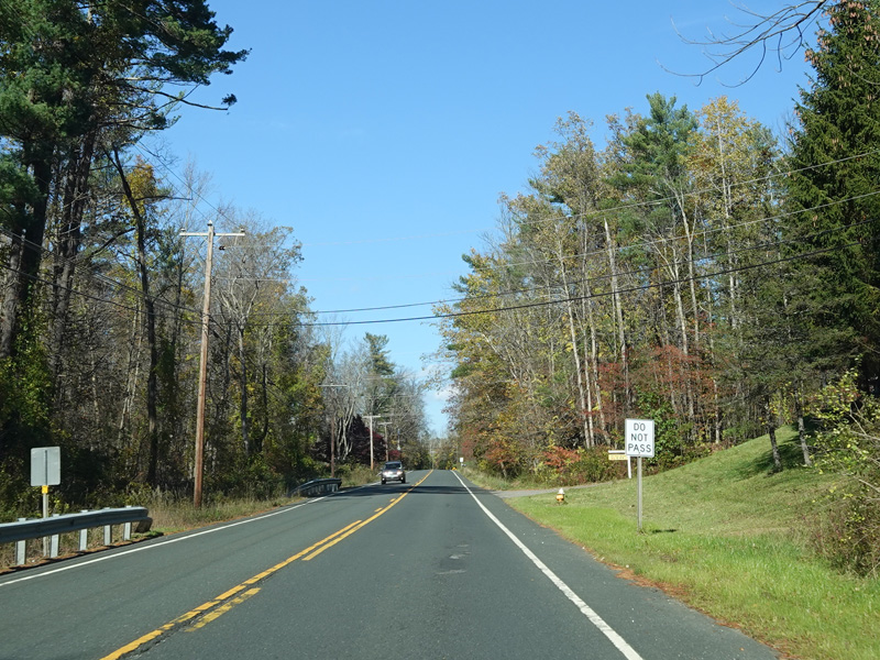
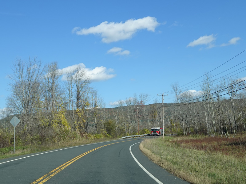
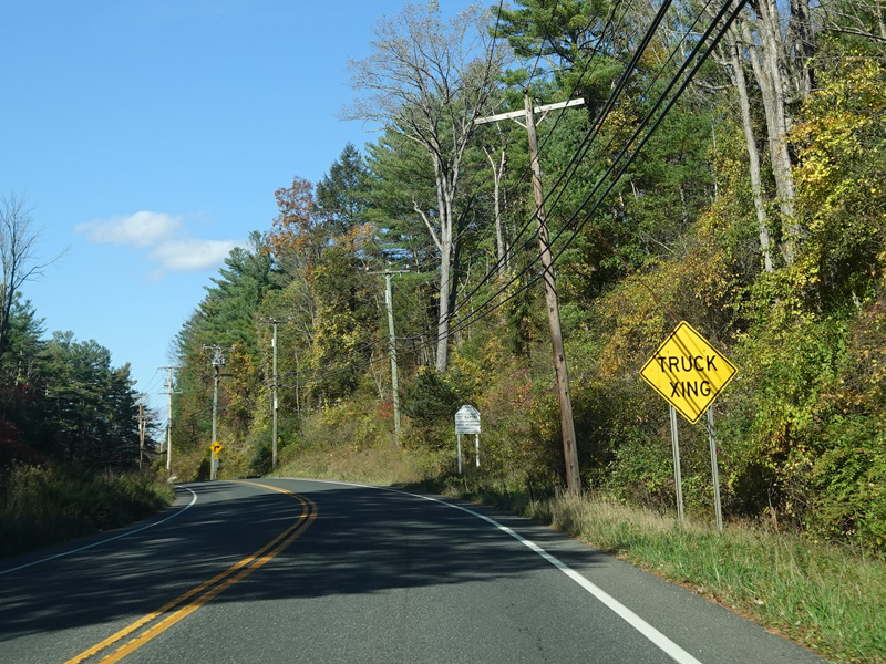
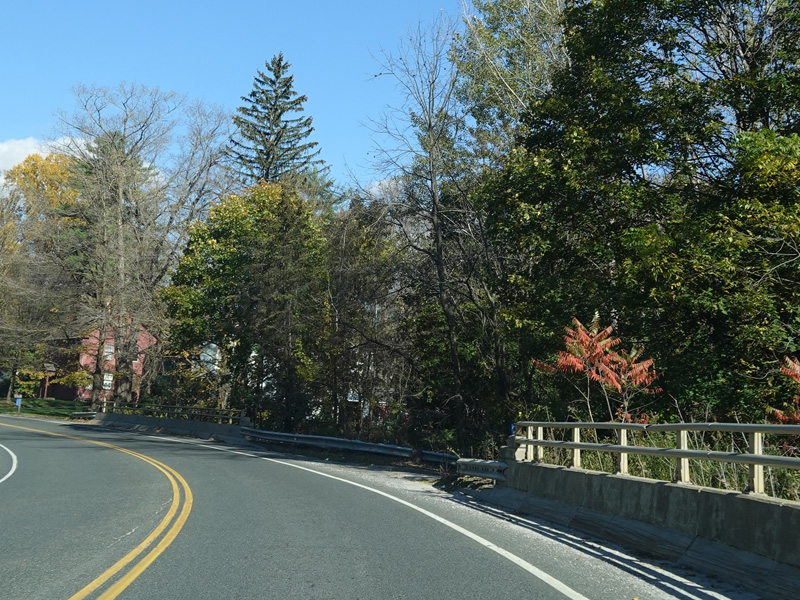
Kent-Cornwall Road continues north to Cornwall Bridge.
Photos taken October 2021.
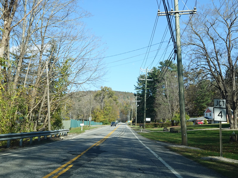


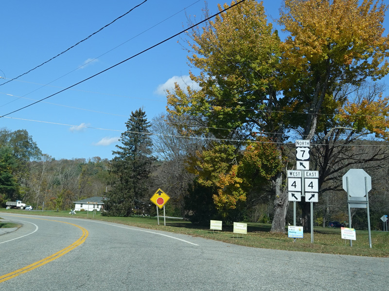
Kent-Cornwall Road ends at a stop sign at CT 4. Merge in straight ahead to go west and to stay on US 7. Bear right before the stop sign onto Furnace Brook Road to go east.
Photos taken October 2021.
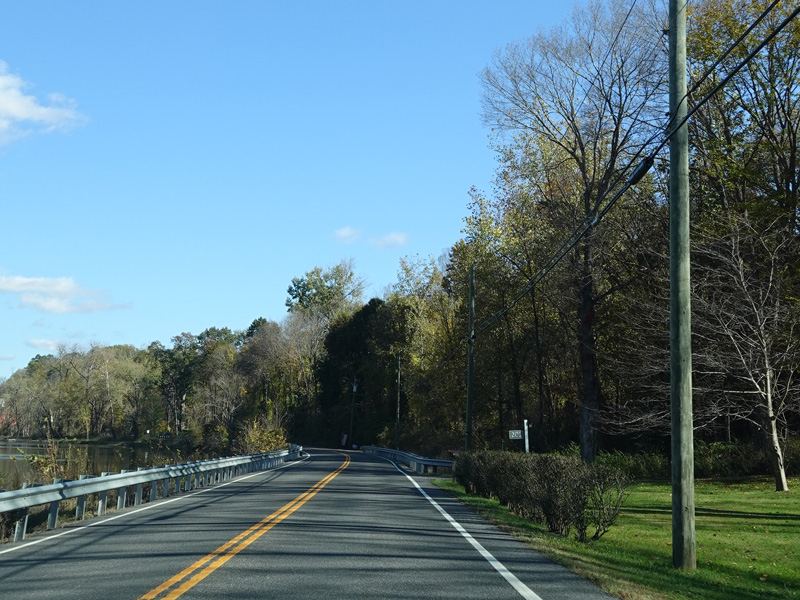
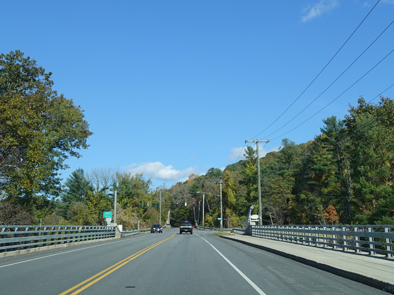
US 7 is multiplexed with CT 4 across the bridge over the Housatonic River.


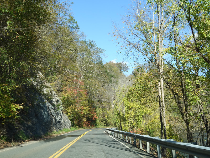

On the other side of the river, US 7 splits off from CT 4. The Housatonic River is visible on the right.
Photos taken October 2021.
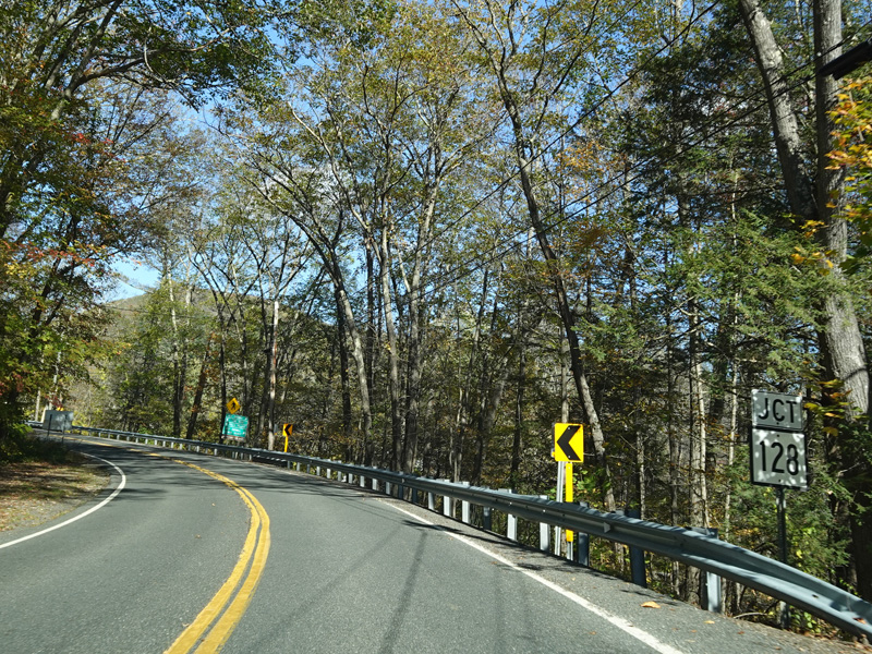
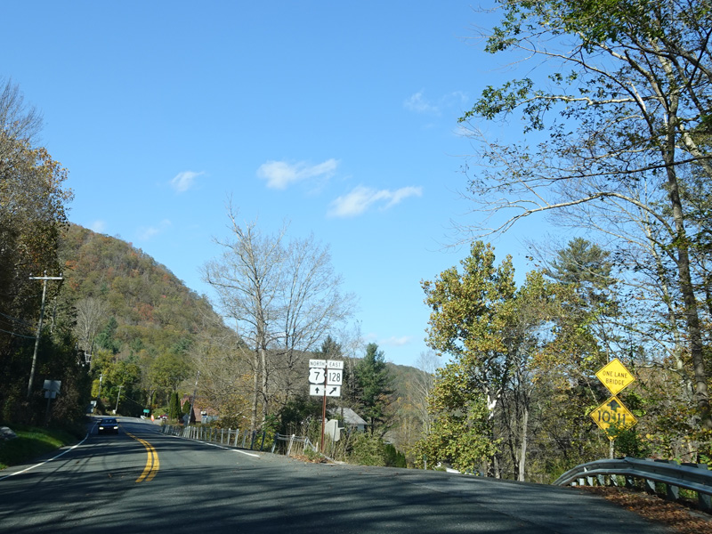
Sharon-Goshen Turnpike (CT 128) begins on the right.
Photos taken October 2021.


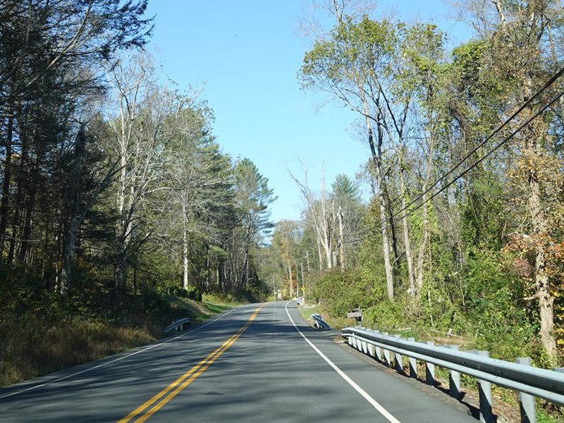
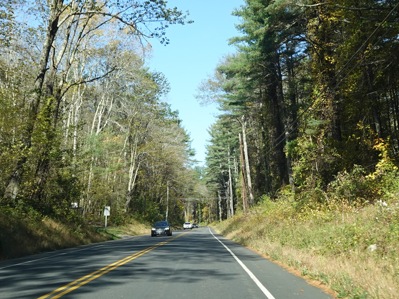
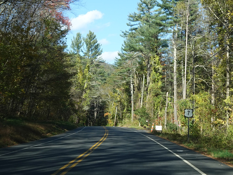
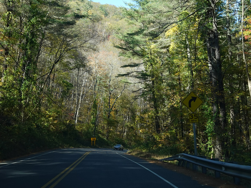
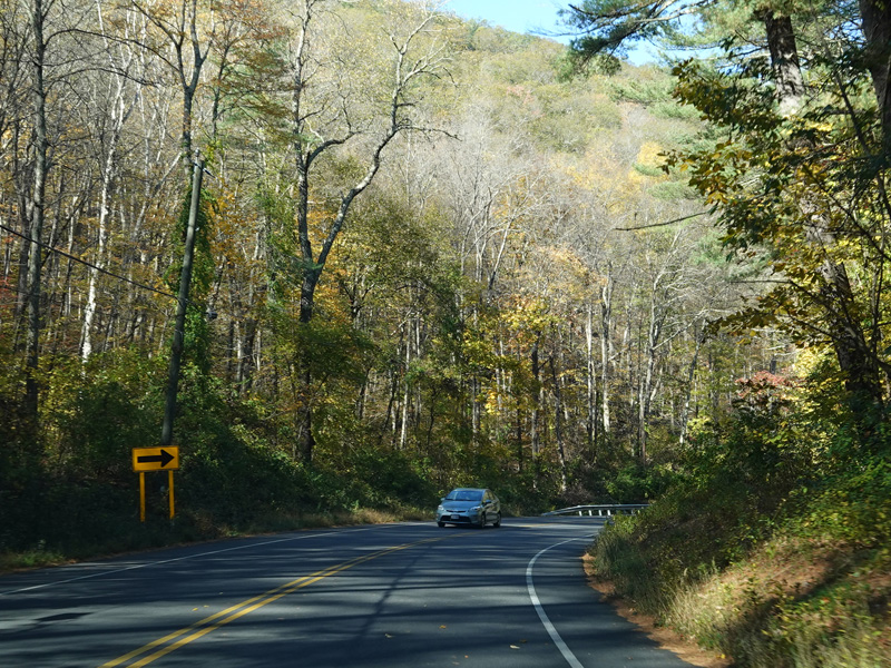
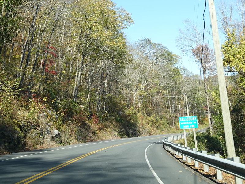

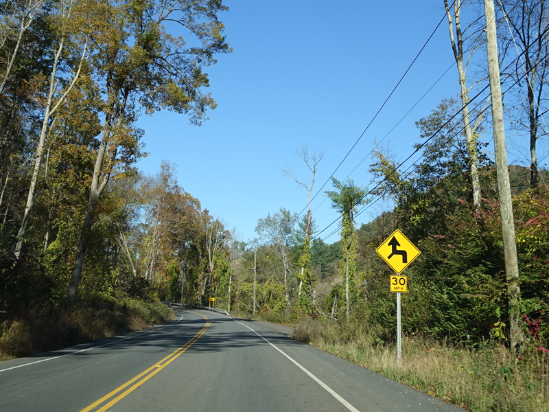
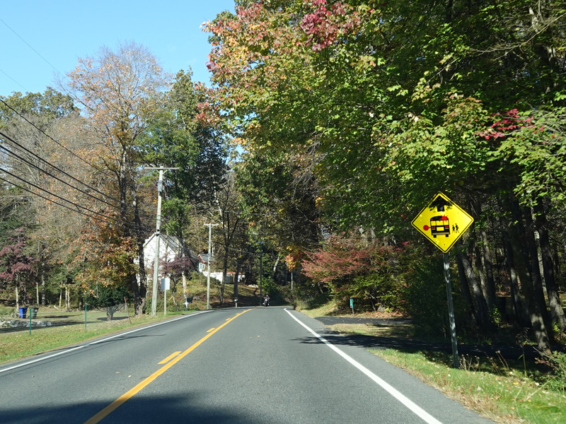
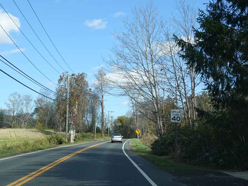
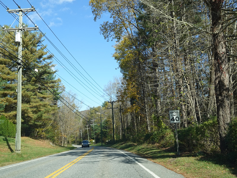
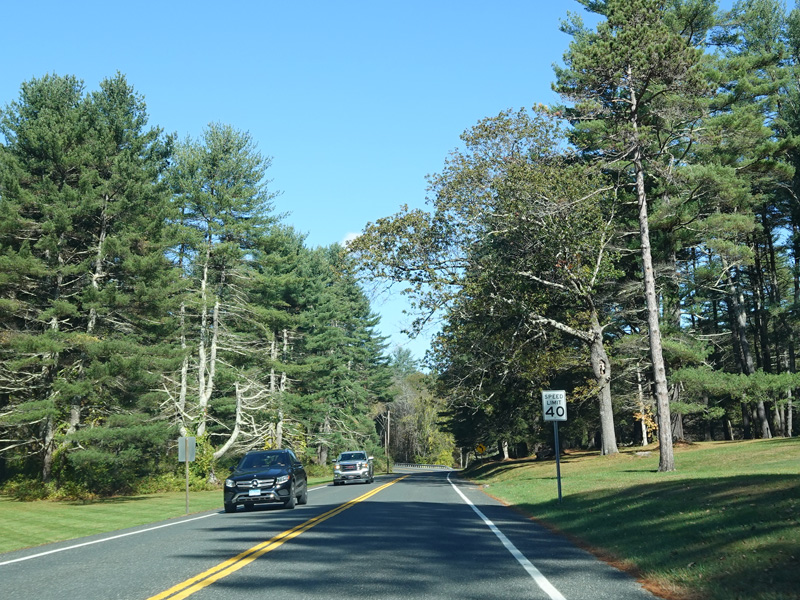
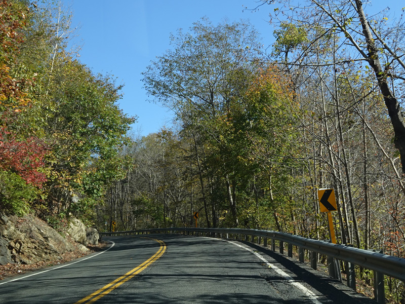
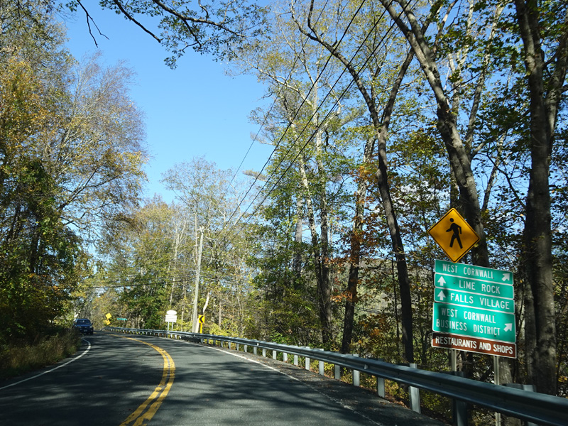
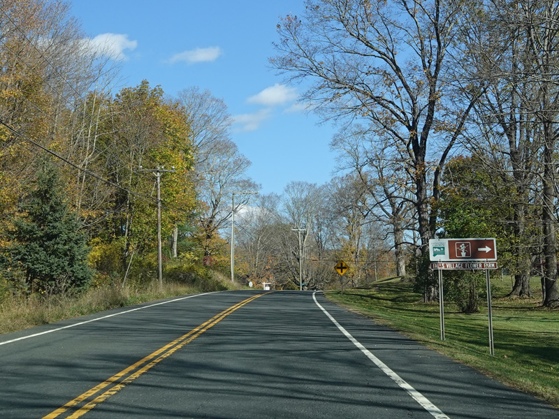
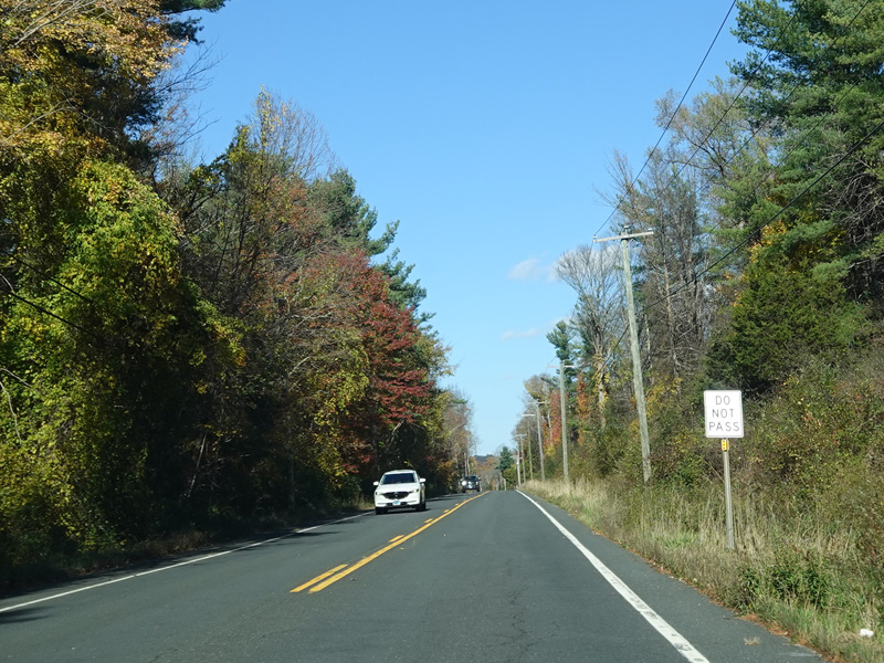
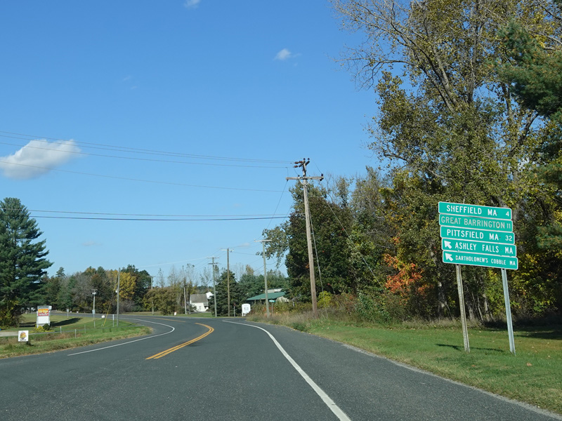
US 7 continues north into Salisbury.
Photos taken October 2021.
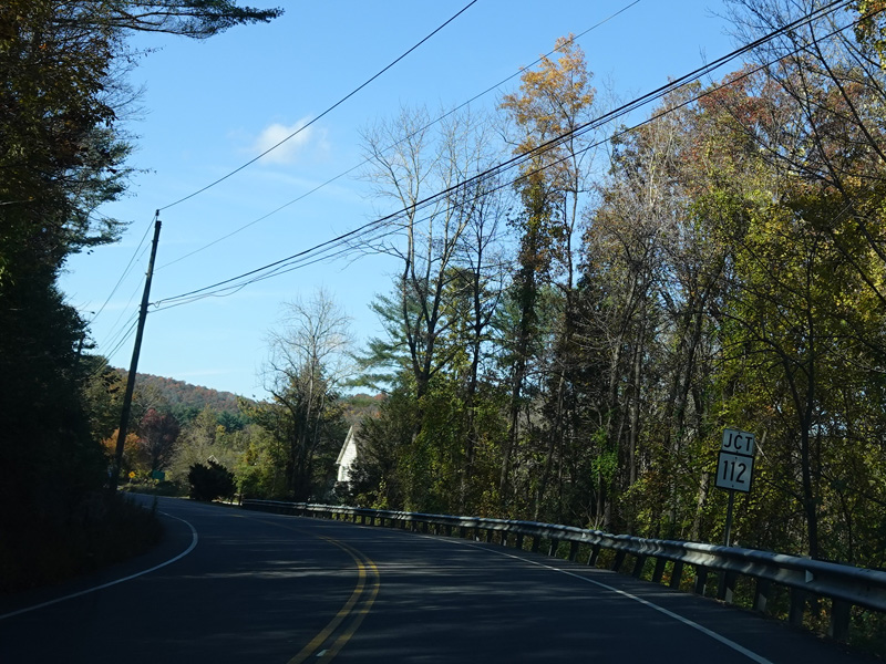

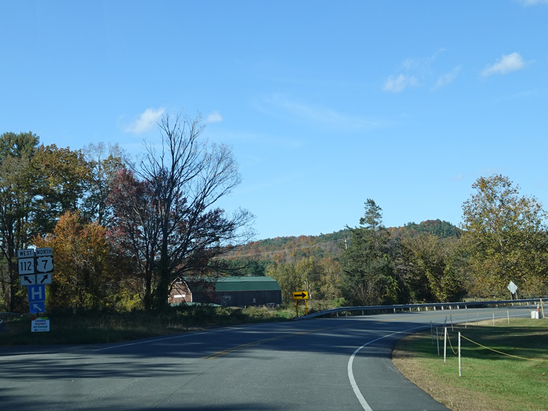
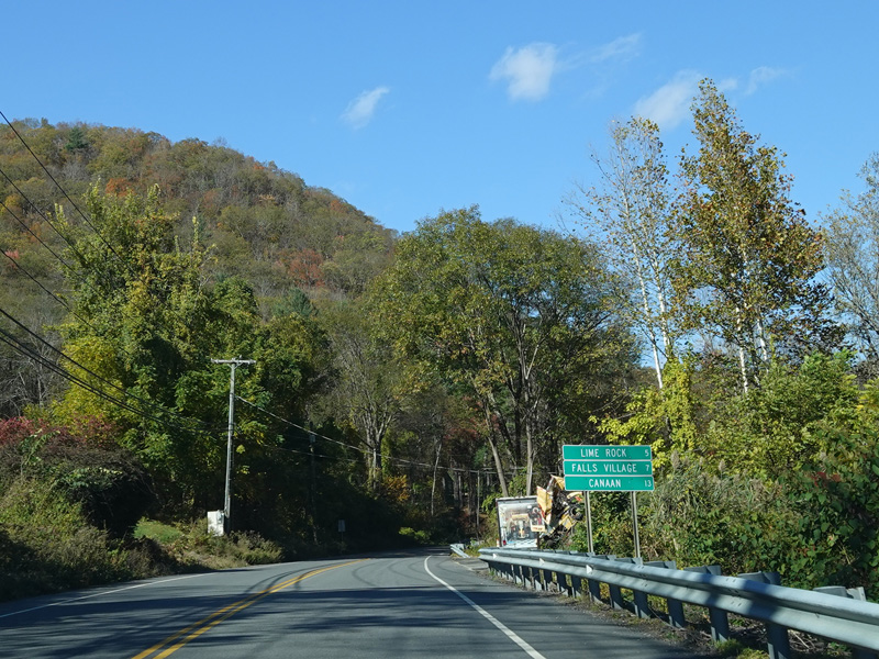
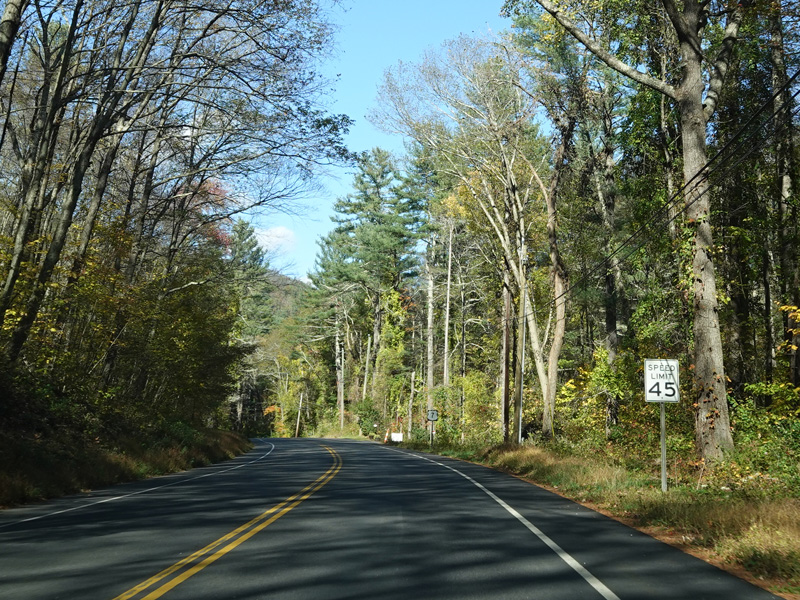
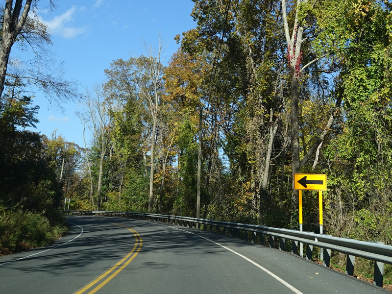
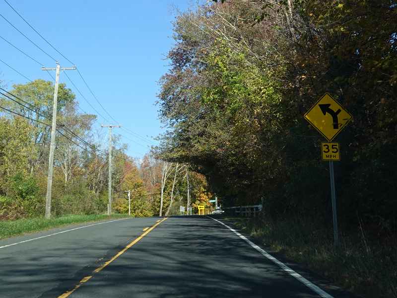
Bear left here for Lime Rock Road (CT 112).
Photos taken October 2021.


There is another bridge over the Housatonic River, followed by a bridge over railroad tracks.
Photos taken October 2021.
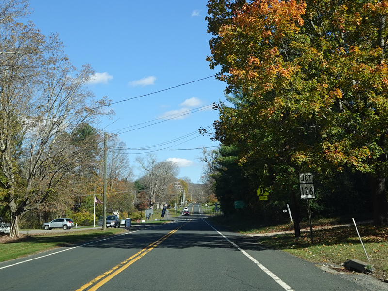

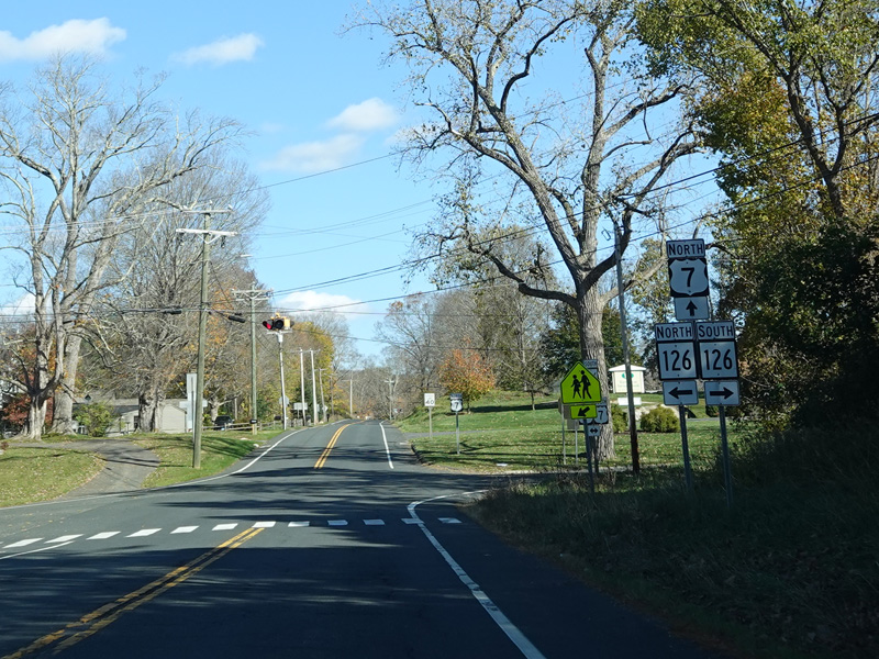
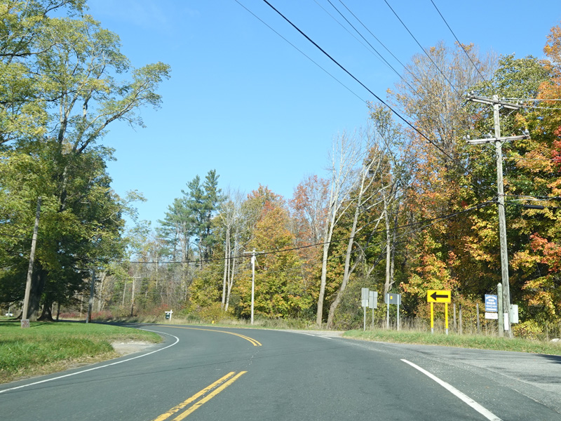
There is a flasher at CT 126. Turn left to go north or right to go south.
Photos taken October 2021.

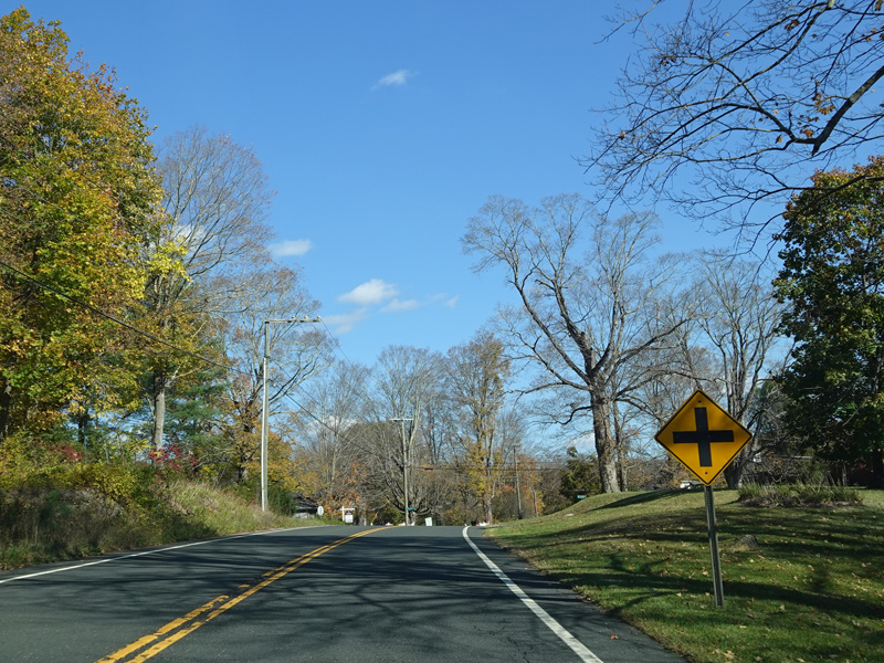


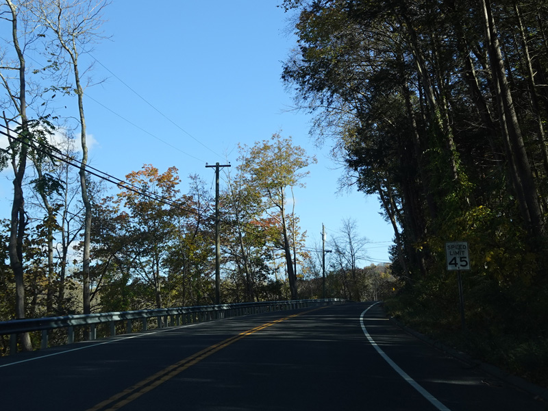
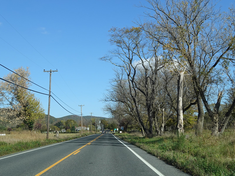
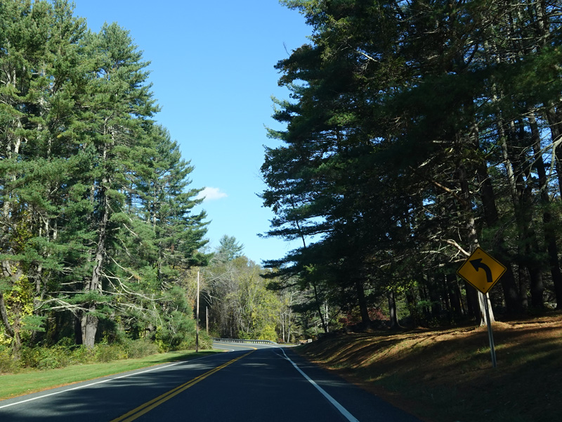
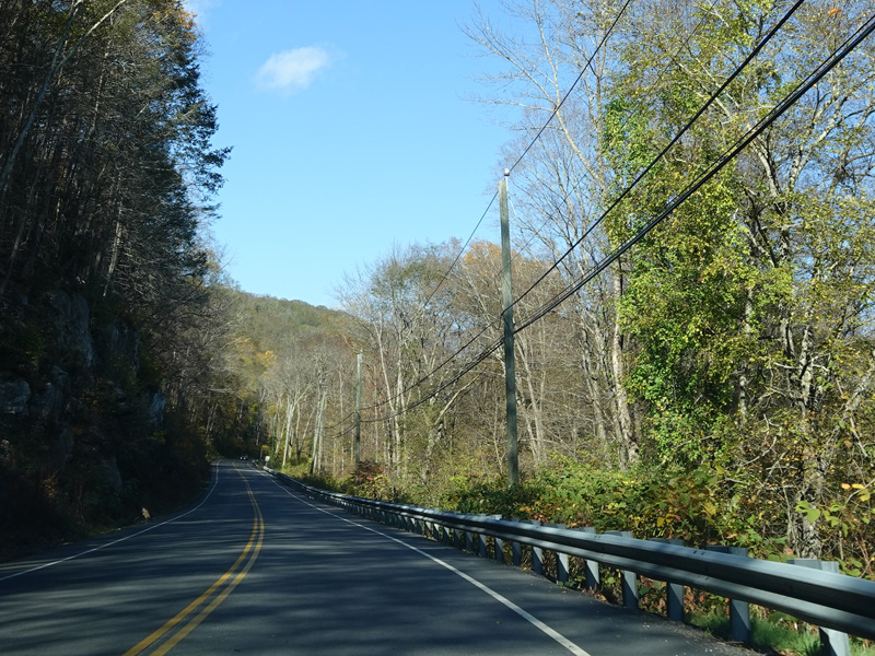
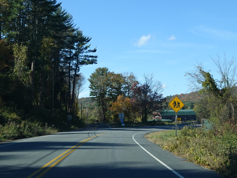
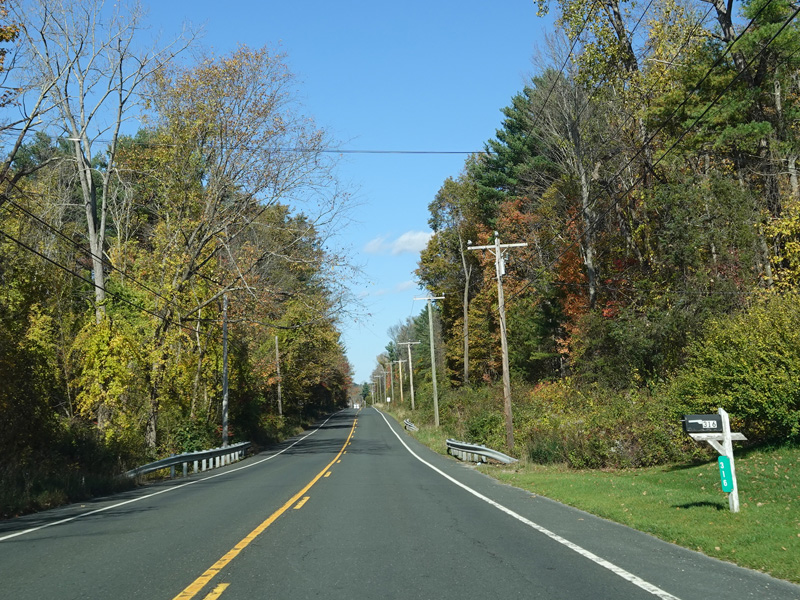
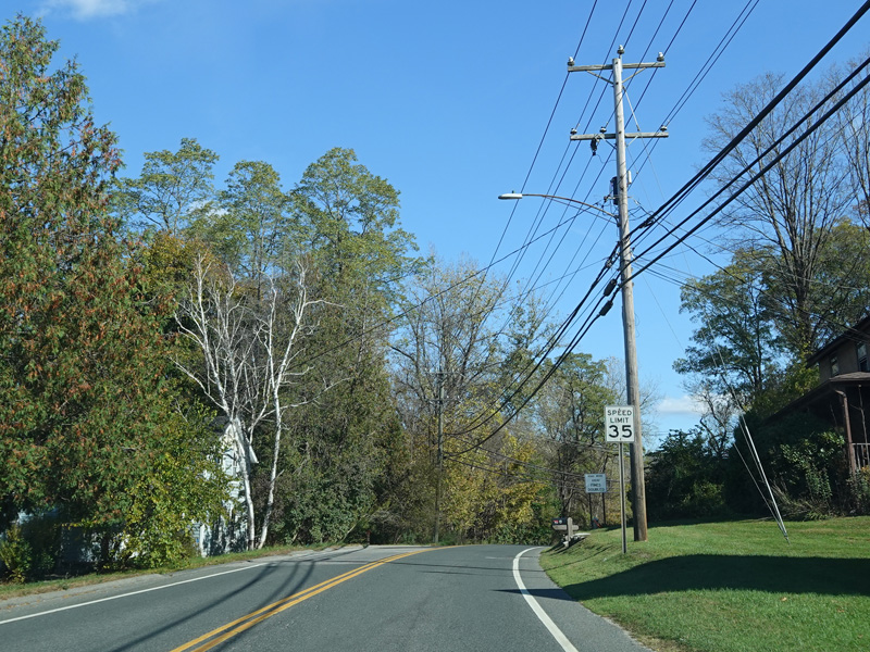
US 7 is now known as South Canaan Road.
Photos taken October 2021.
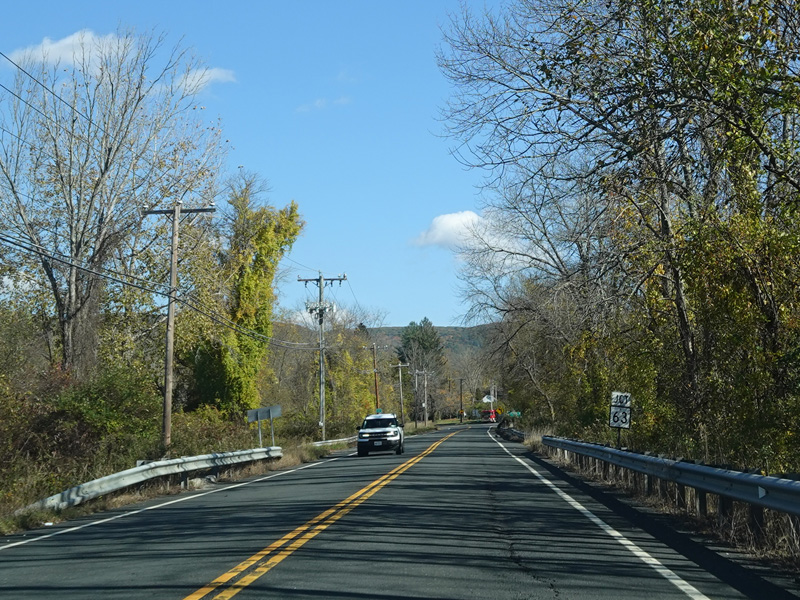

Turn right onto Barnes Road for access to Huntsville-South Canaan Road (CT 63).
Photos taken October 2021.

There is a stop sign as Huntsville-South Canaan Road (CT 63) merges with South Canaan Road.
Photo taken October 2021.


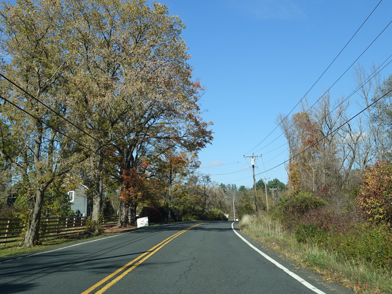


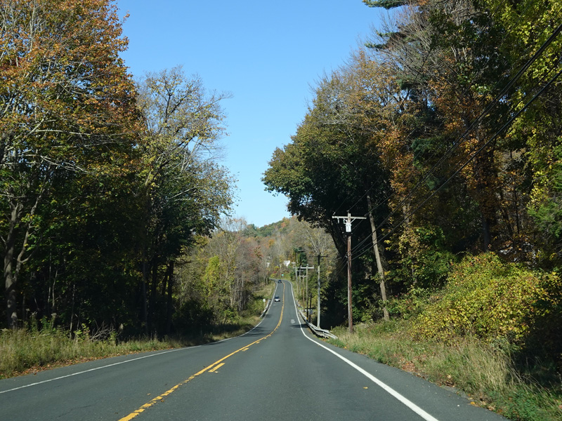


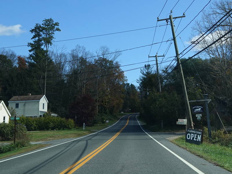
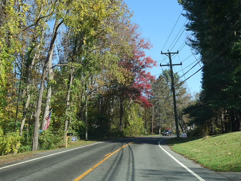
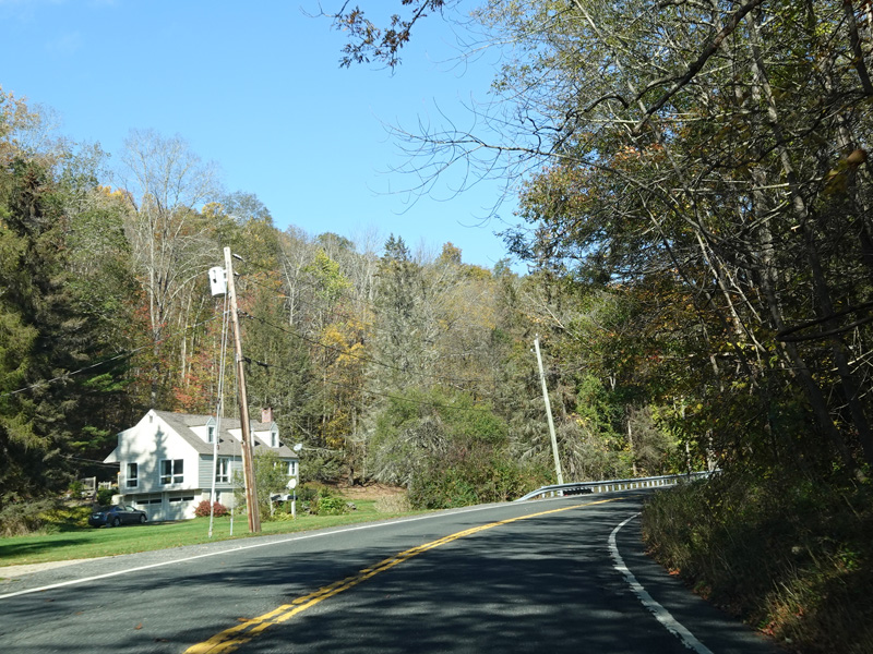
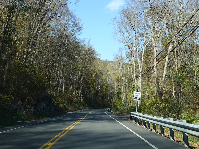
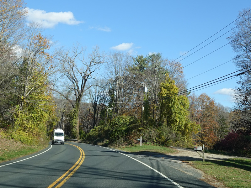
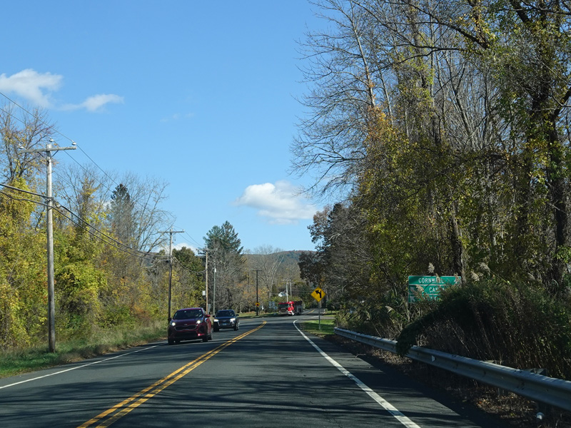
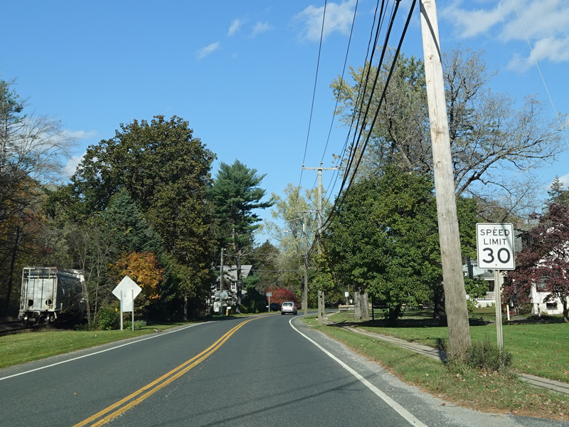
South Canaan Road continues north to Canaan.
Photos taken October 2021.


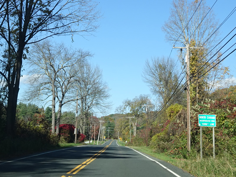
Welcome to Canaan! South Canaan Road changes names to become High Street and then Elm Street.
Photos taken October 2021.
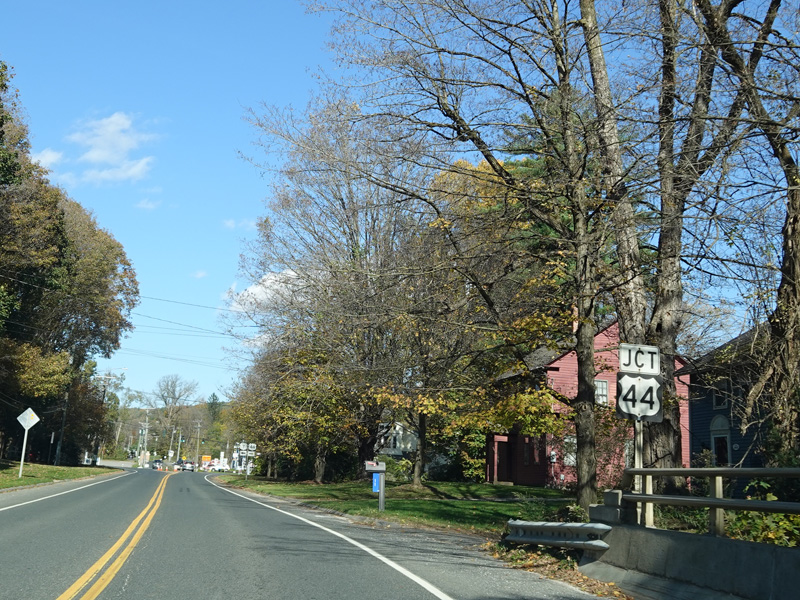
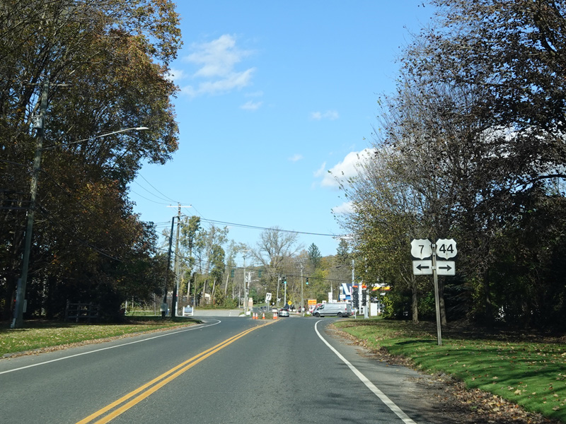
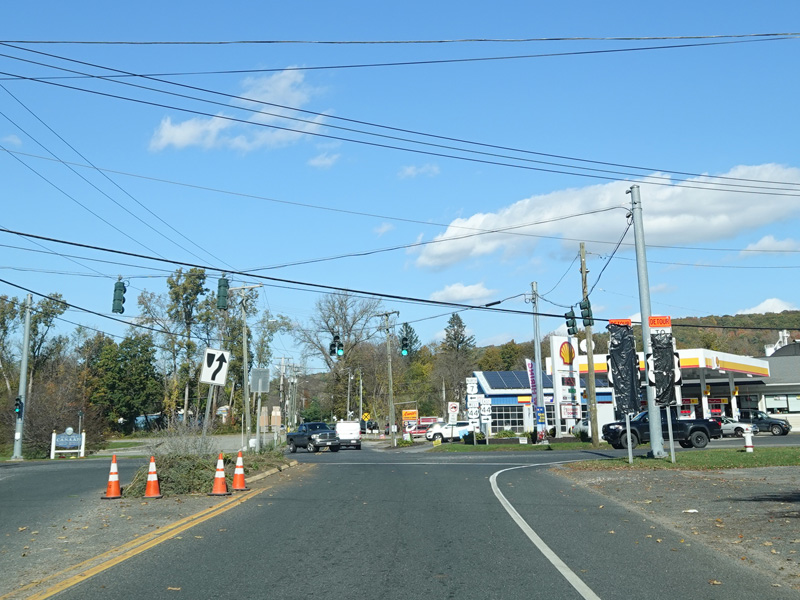
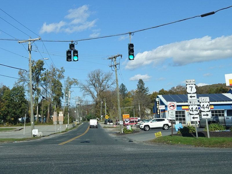
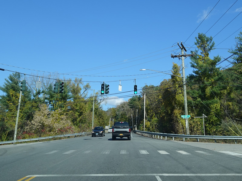
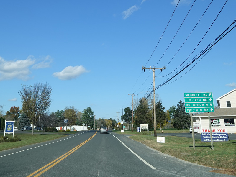
There is a traffic light at Main Street (US 44). Turn right to go east. Turn left to go west and to stay on US 7.
Photos taken October 2021.
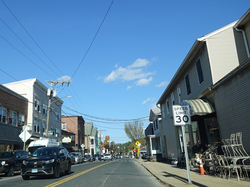
US 7 is multiplexed with US 44 along Main Street for a few blocks through Canaan.


US 7 splits off from Main Street (US 44) onto Railroad Street and continues north.
Photos taken October 2021.
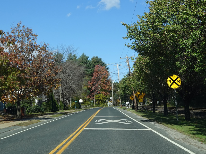

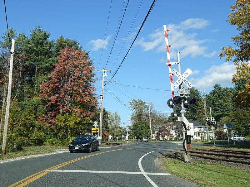
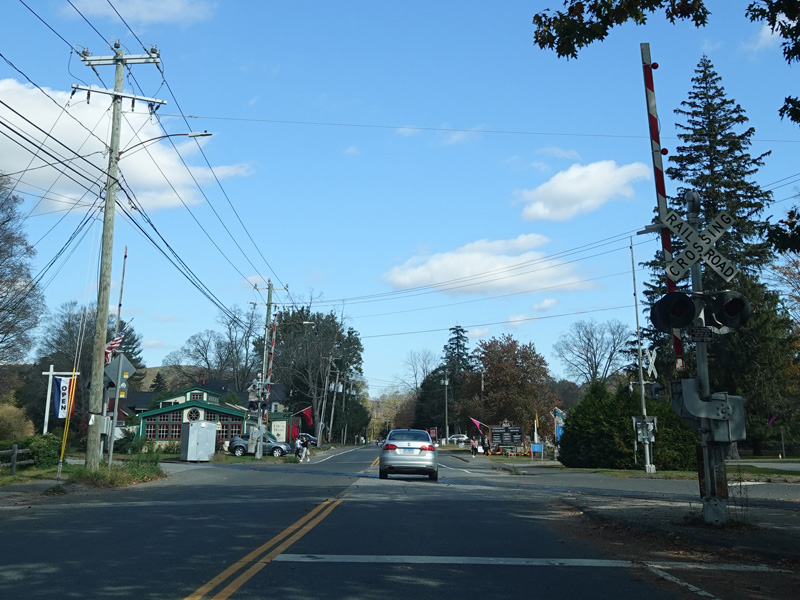
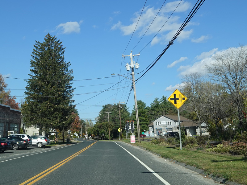
There is a railroad crossing.
Photos taken October 2021.


Railroad Street changes names to become Ashley Falls Road.
Photos taken October 2021.
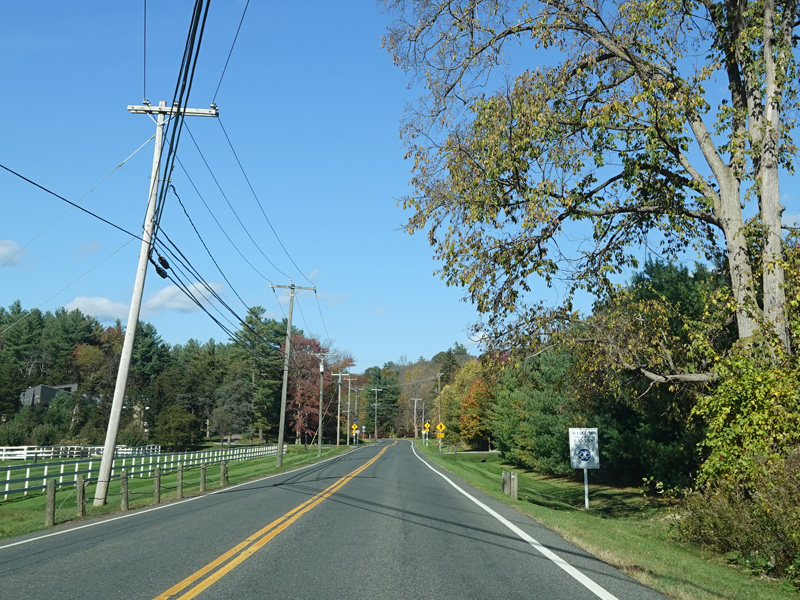
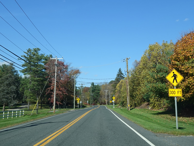
US 7 continues north to the border with Massachusetts.
Photo taken October 2021.