
Water Street, Lakehurst Road, Oak Ridge Parkway, Whitesville Road, East Veterans Highway, Cedar Swamp Road, Siloam Road, Smithburg Road, Sweetmans Lane, Millhurst Road, Conover Street, Park Avenue, Main Street, Wilson Avenue, Old Bridge-Englishtown Road, Old Matawan Road, Old Bridge Turnpike, George Street, Easton Avenue, Mountain Avenue, Morning Glory Road, Washington Valley Road, Mountain Boulevard, Valley Road, Glenside Avenue, Morris Avenue, Springfield Avenue, Millburn Avenue, Old Short Hills Road, East Cedar Street, Livingston Avenue, Eagle Rock Avenue, Roseland Avenue, Bloomfield Avenue
Northbound Views
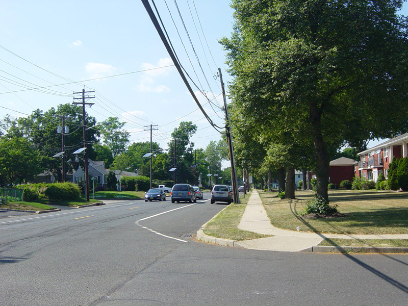
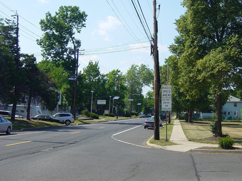
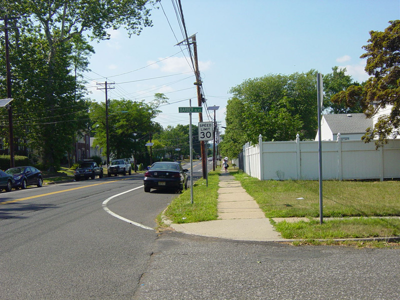
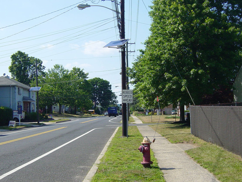
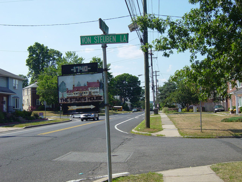
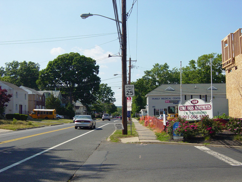
Skipping north to South Bound Brook, the speed limit drops to 30 MPH and then 25 MPH. The Abraham Staats House, which was home to Baron von Steuben during the American Revolution, is to the right.
Photos taken June 2016.
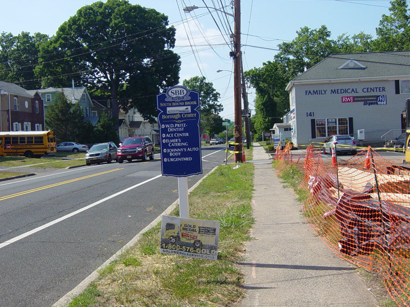
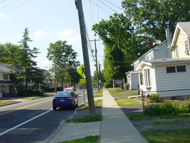
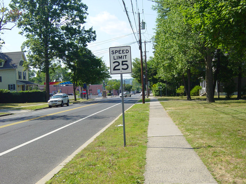
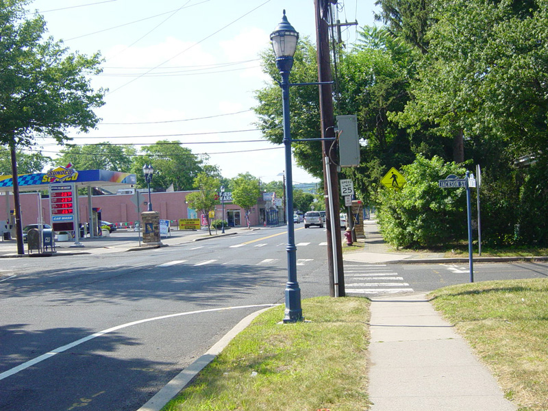
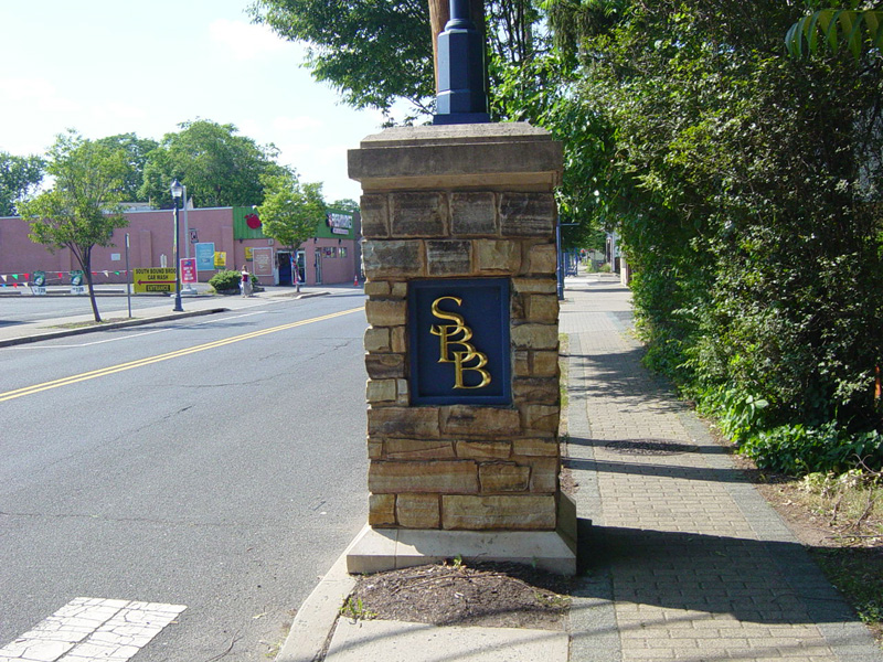
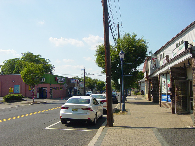
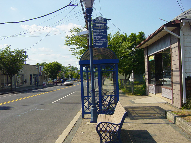
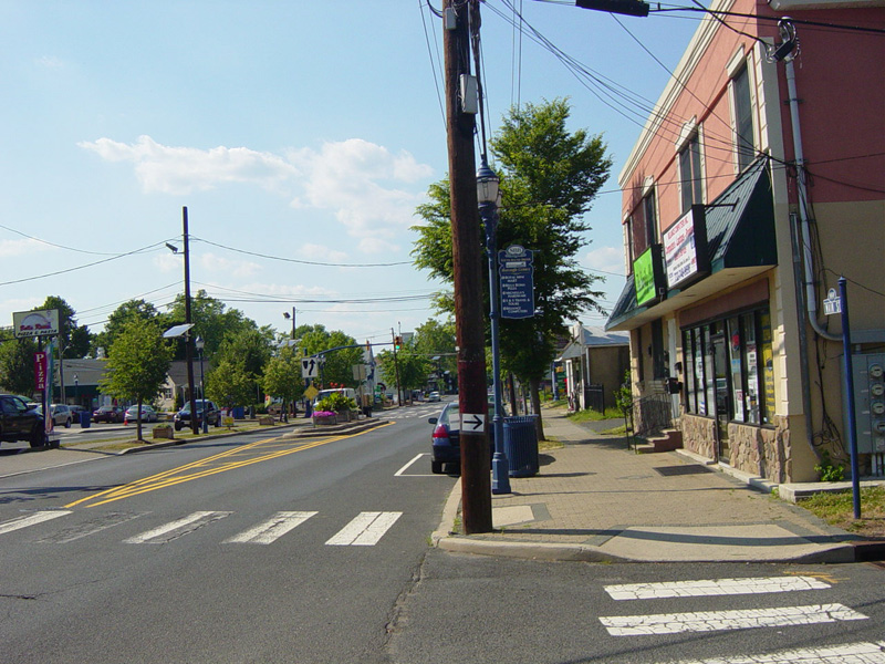
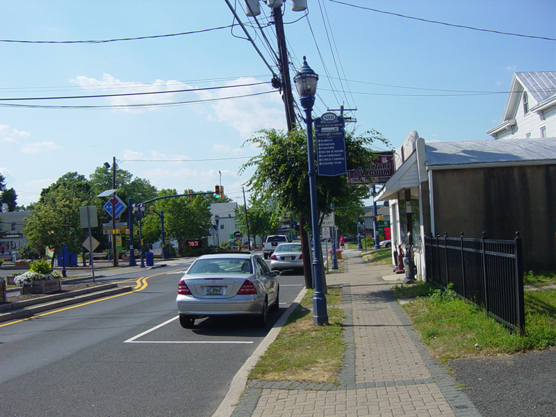
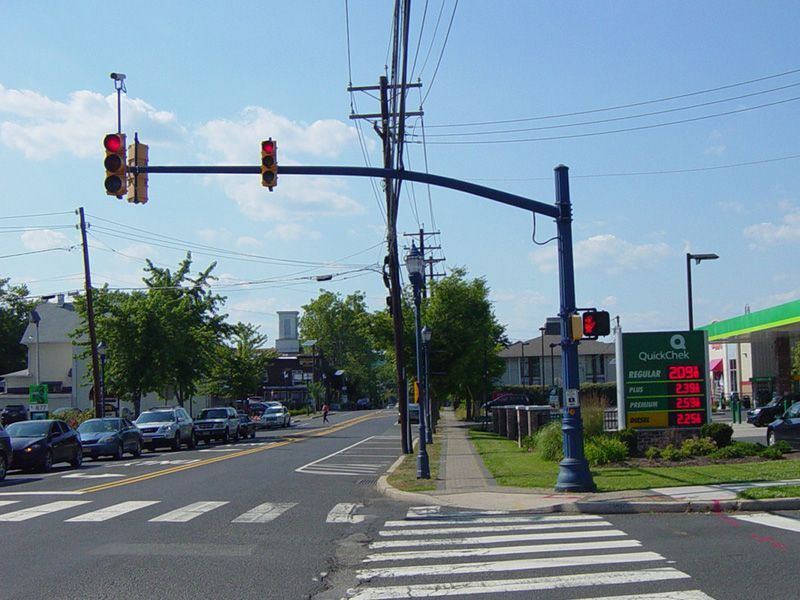
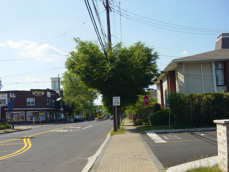
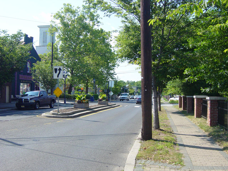
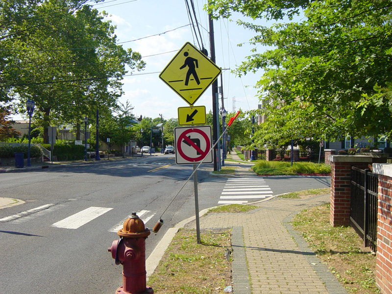
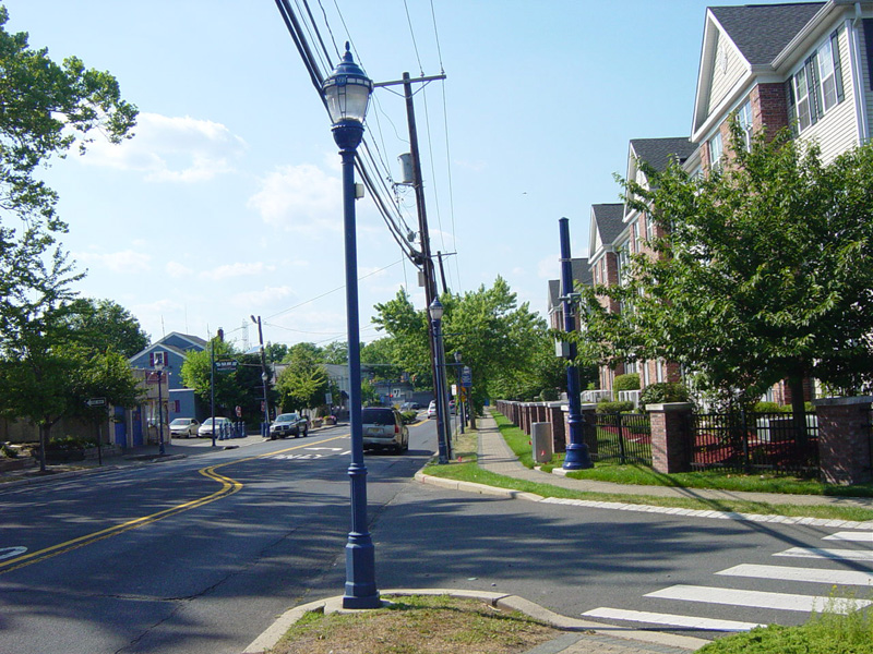
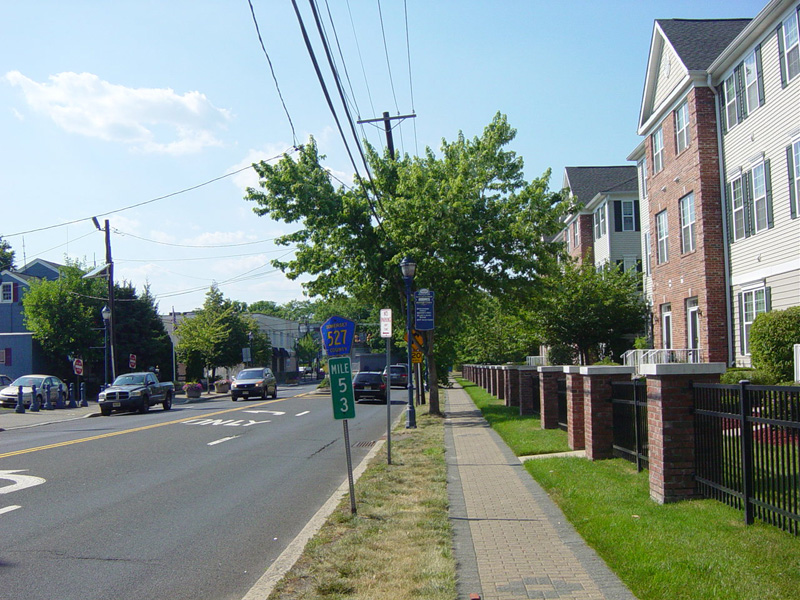
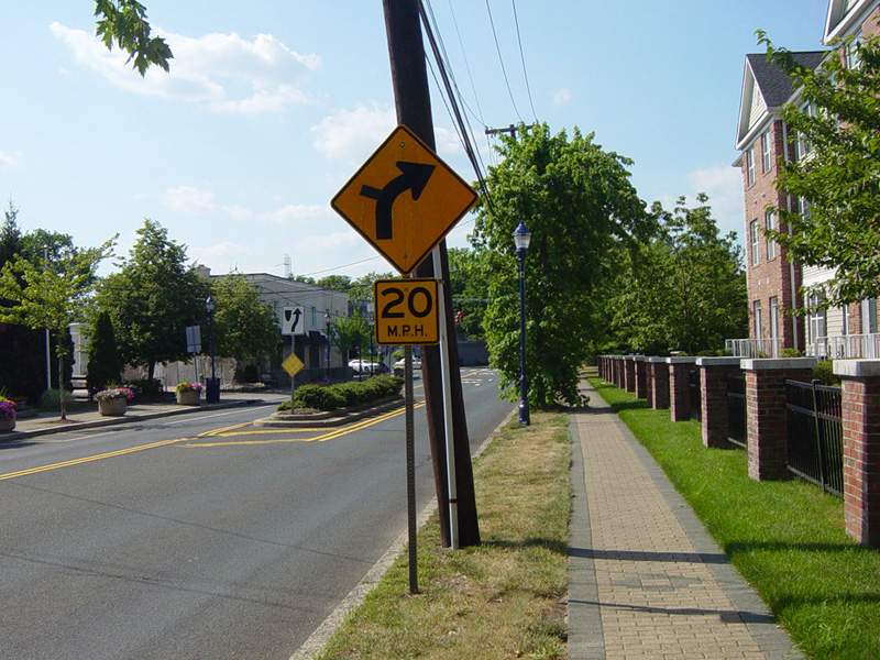
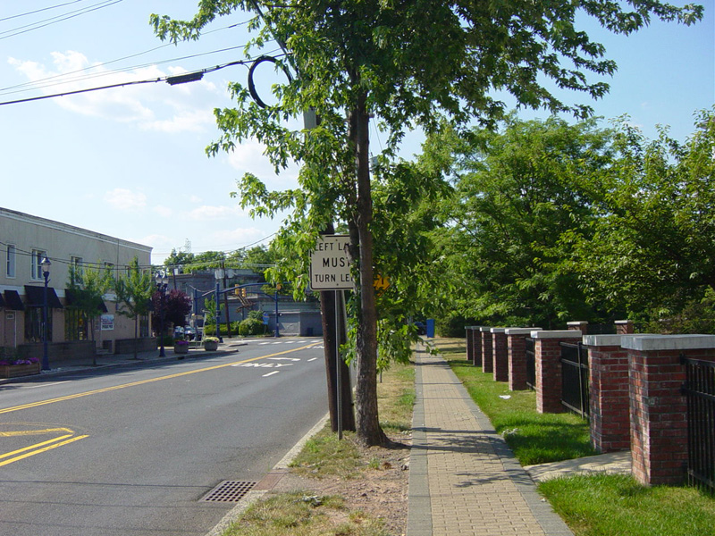
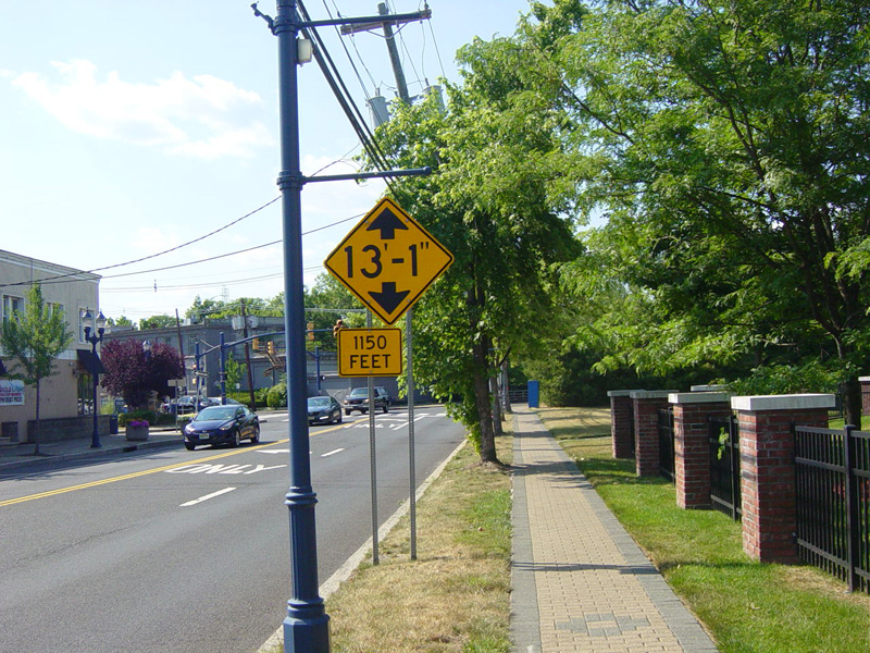
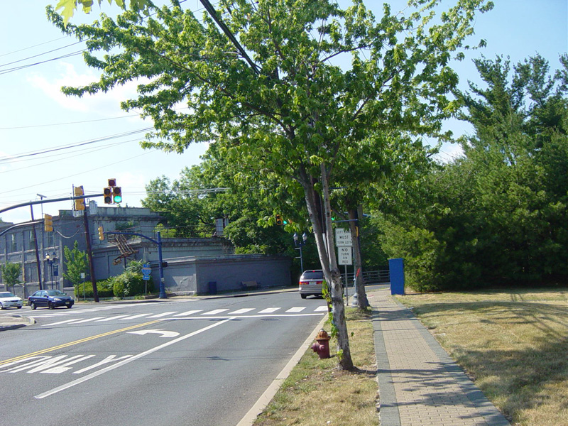
South Bound Brook is a very blue town. All of the street signs, streetlights, traffic light poles, benches, and garbage cans are blue.
Photos taken June 2016.
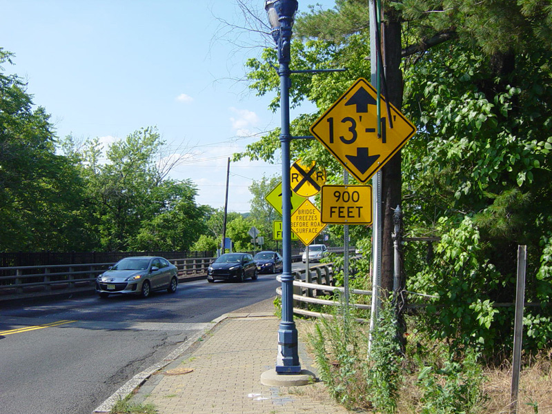
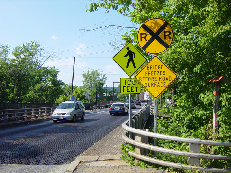
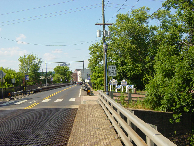
There is a small bridge over the Delaware and Raritan Canal.
Photos taken June 2016.
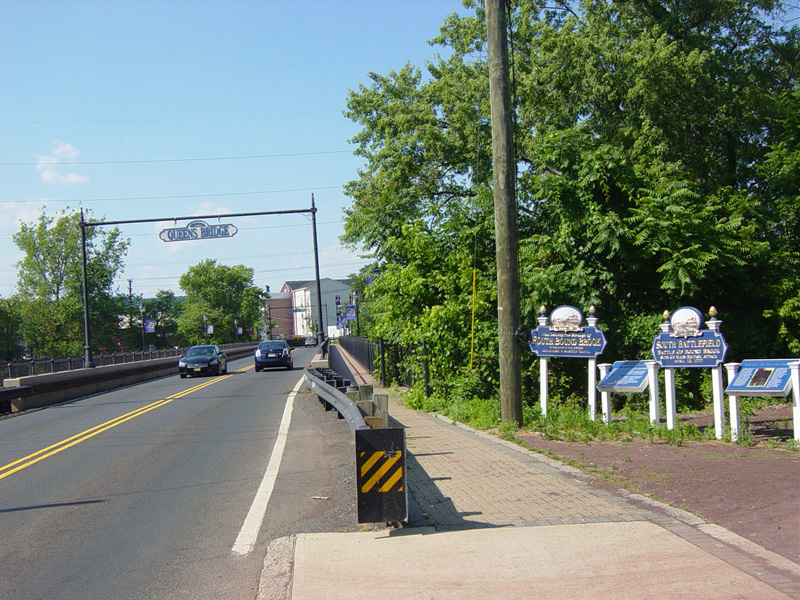
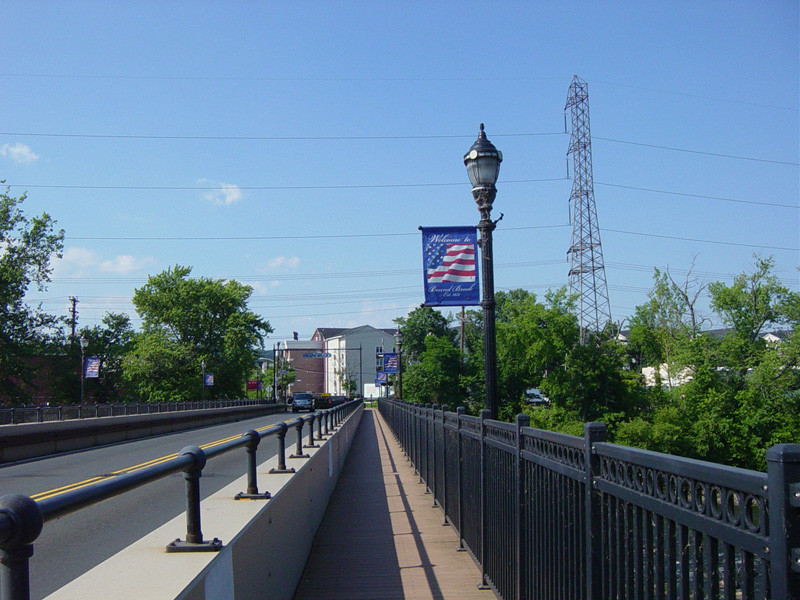
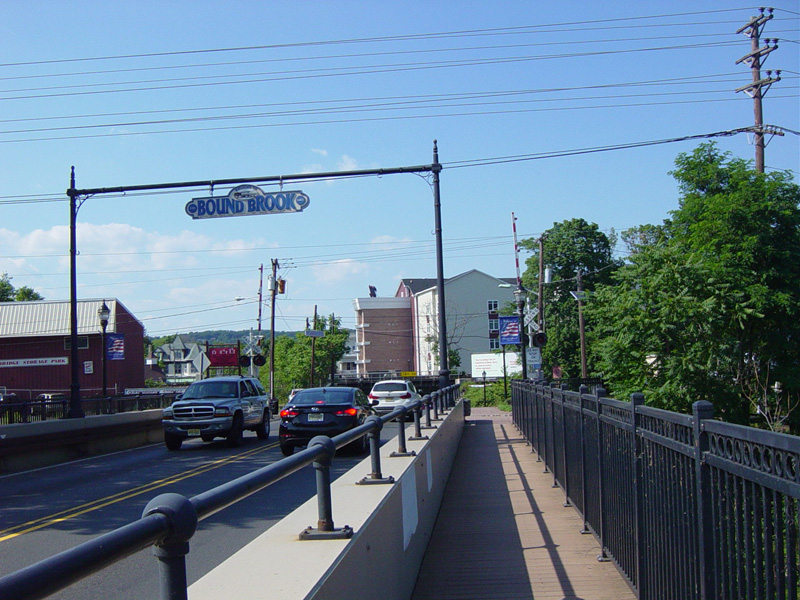
The Queens Bridge carries Main Street across the Raritan River to Bound Brook.
Photos taken June 2016.
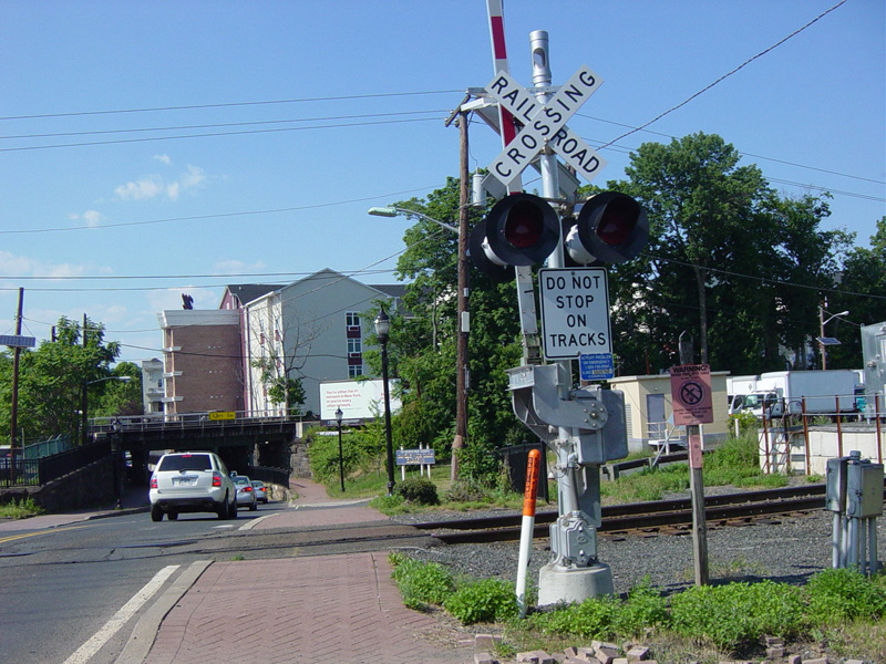
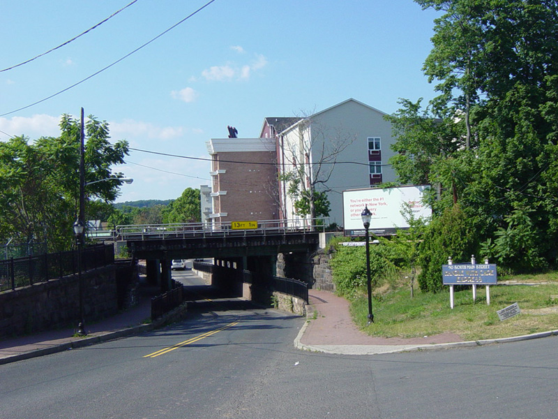
There is a railroad grade crossing. Immediately thereafter, Main Street passes under a railroad overpass.
Photos taken June 2016.
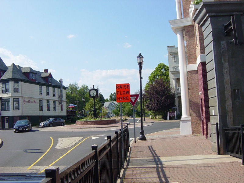
There is a traffic circle. Turn left to stay on Main Street. Route signage here is completely absent.
Photo taken June 2016.
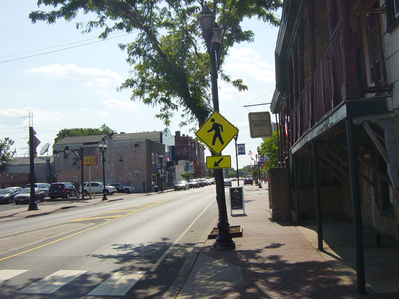
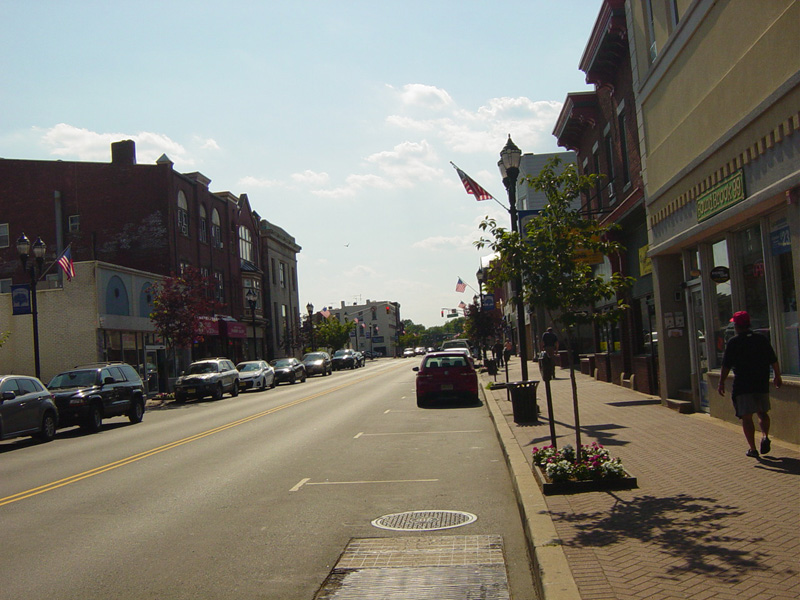
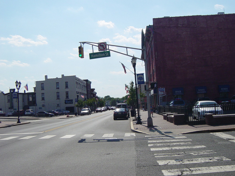
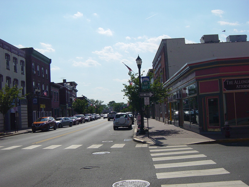
Main Street runs west through Bound Brook. There is a traffic light at Hamilton Street. The Bound Brook train station is on the left.
Photos taken June 2016.
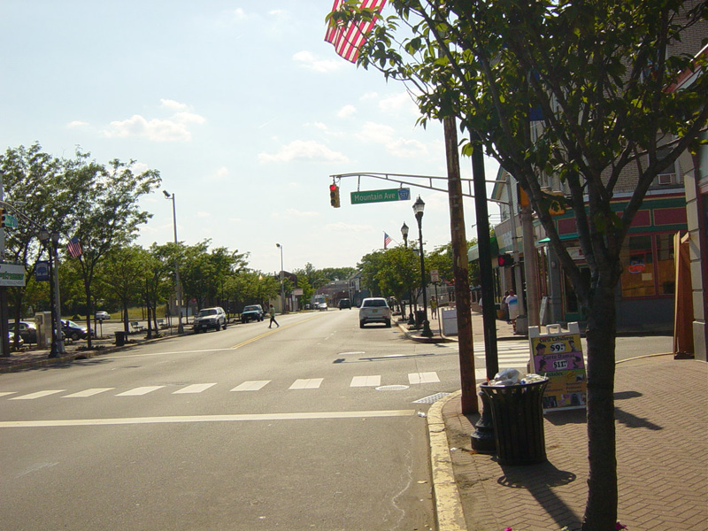
There is a traffic light at Mountain Avenue. Turn right to stay on CR 527. Main Street continues straight ahead as CR 533.
Photo taken June 2016.
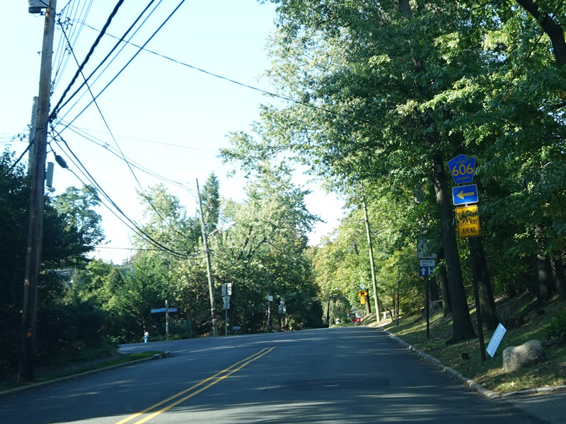
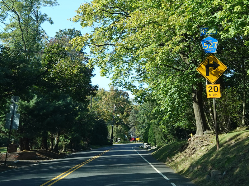
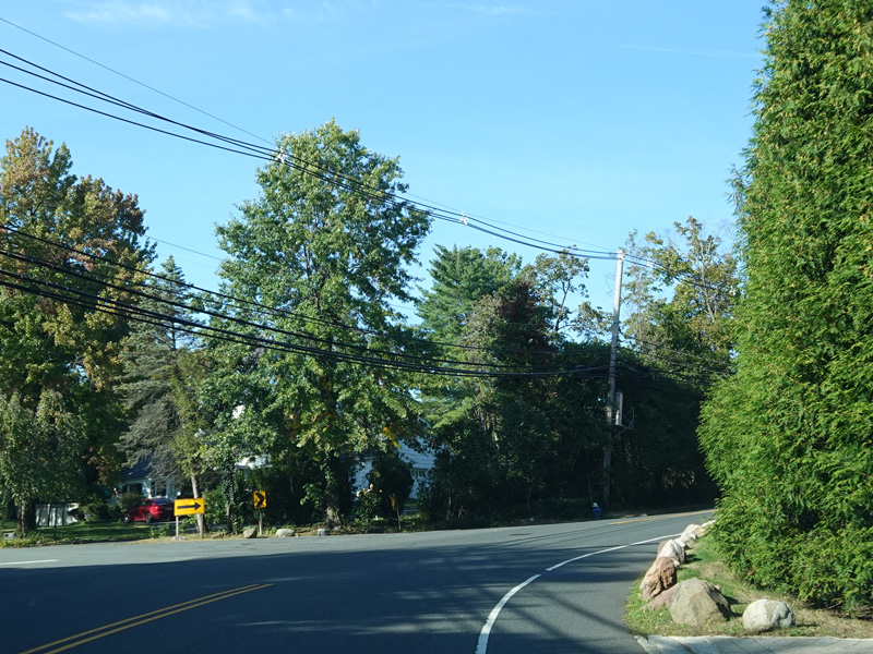
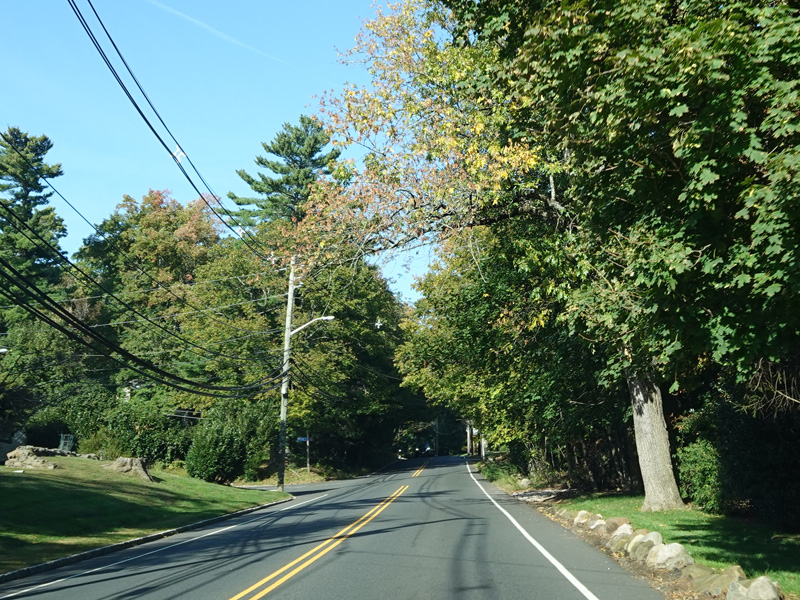
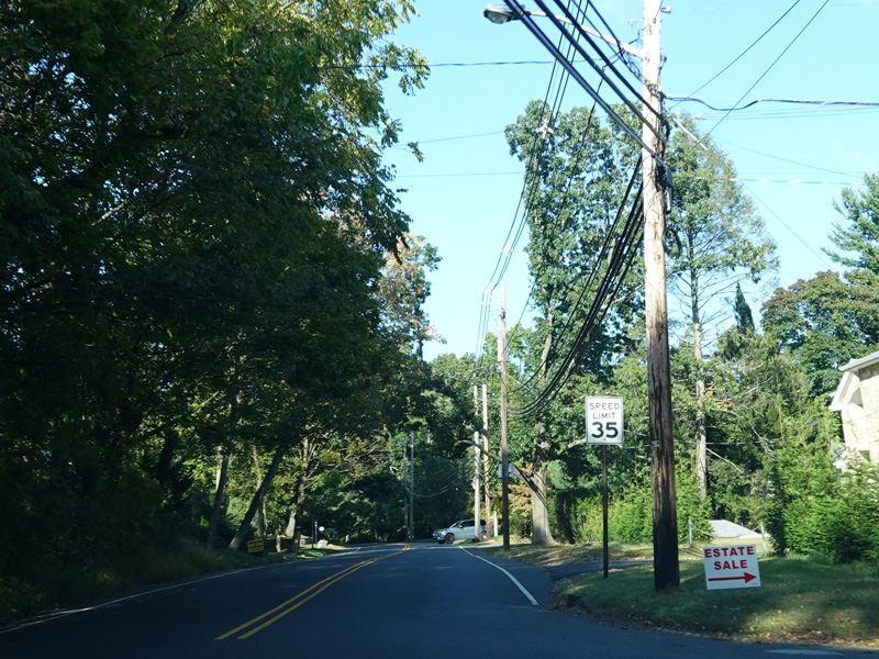
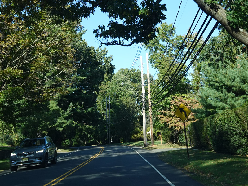
Mountain Avenue runs north as a two-lane undivided road.
Photos taken March 2025.
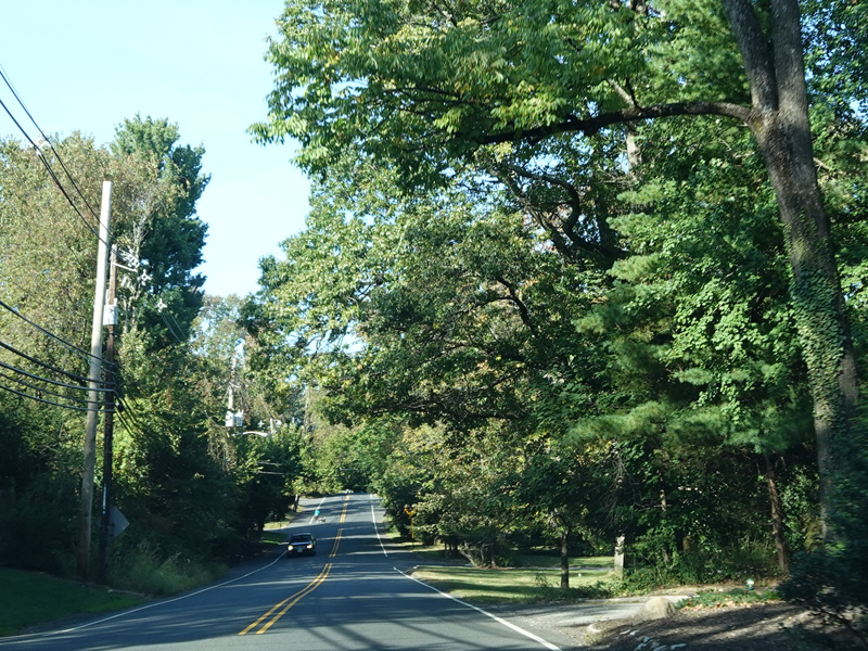
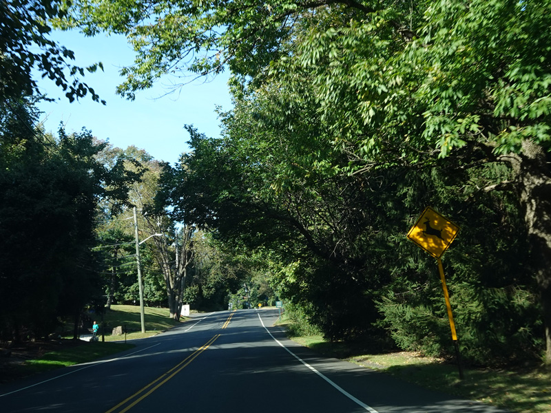
There is a traffic light at Union Avenue (NJ 28). Turn right to go east or left to go west.
Photos taken March 2025.

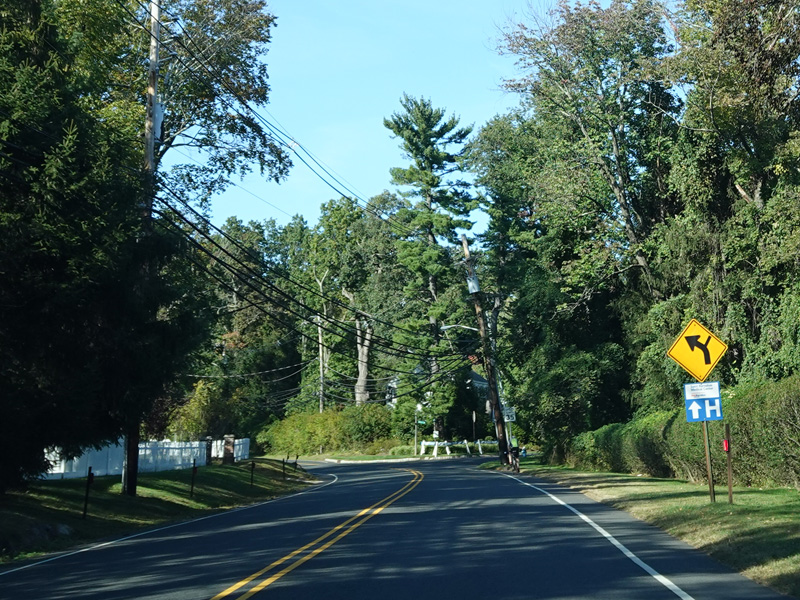
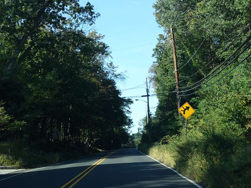
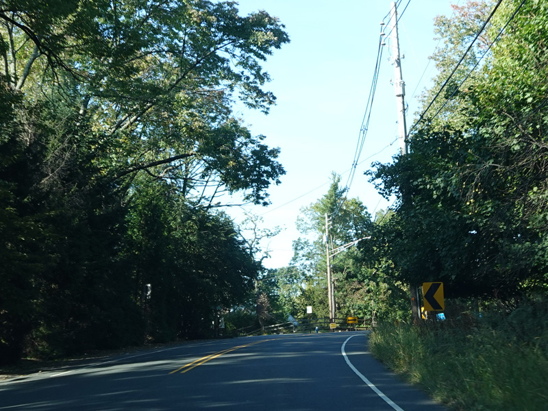


Mountain Avenue continues north as a two-lane undivided road.
Photos taken March 2025.

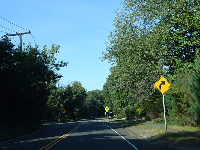

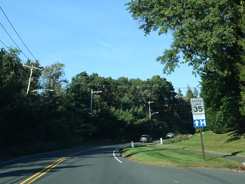
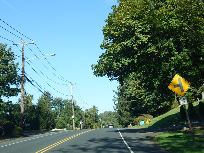

There is an interchange with US 22.
Photos taken March 2025.
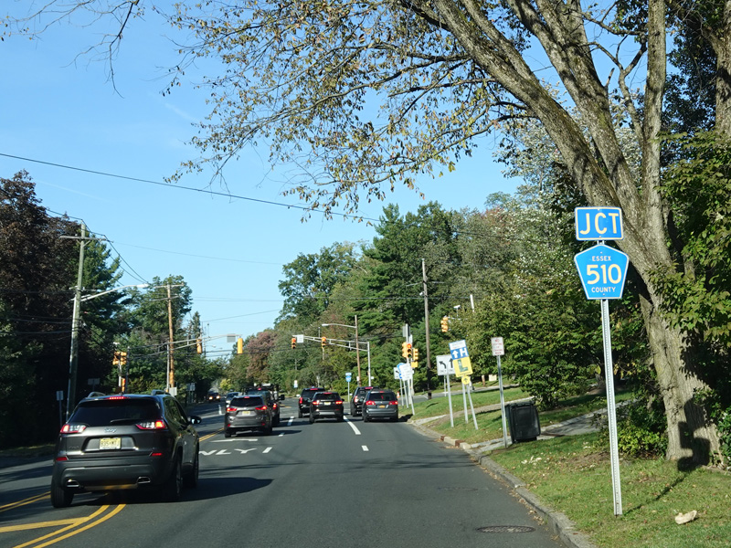

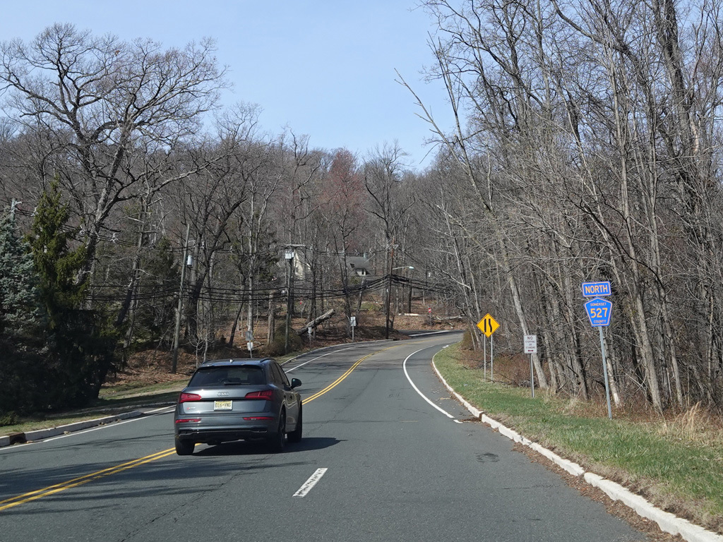
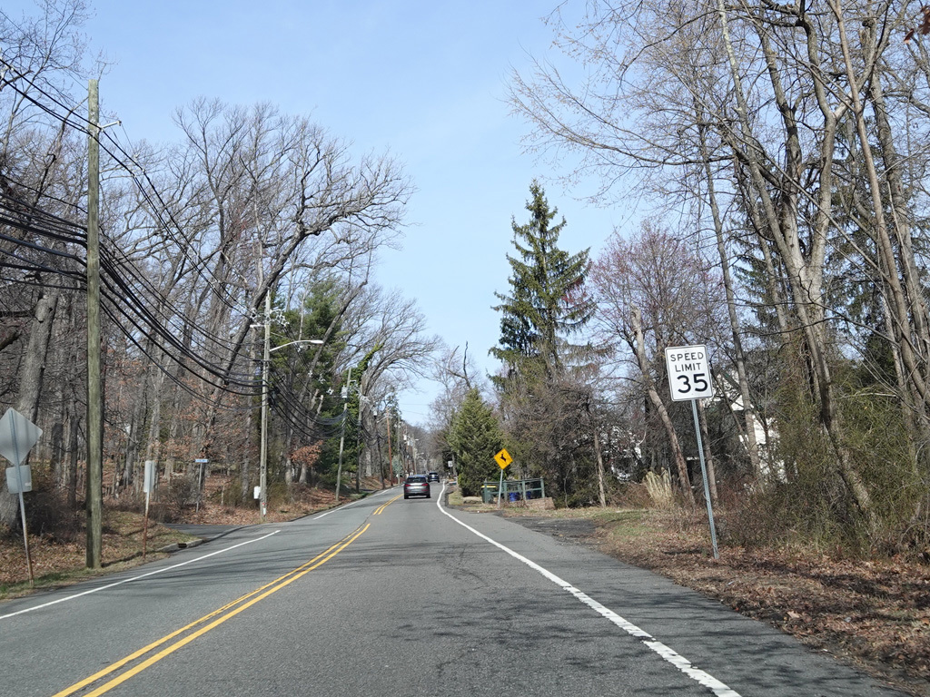
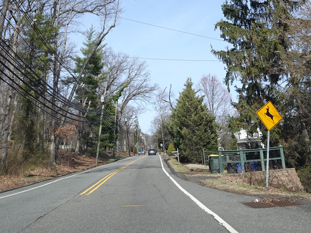
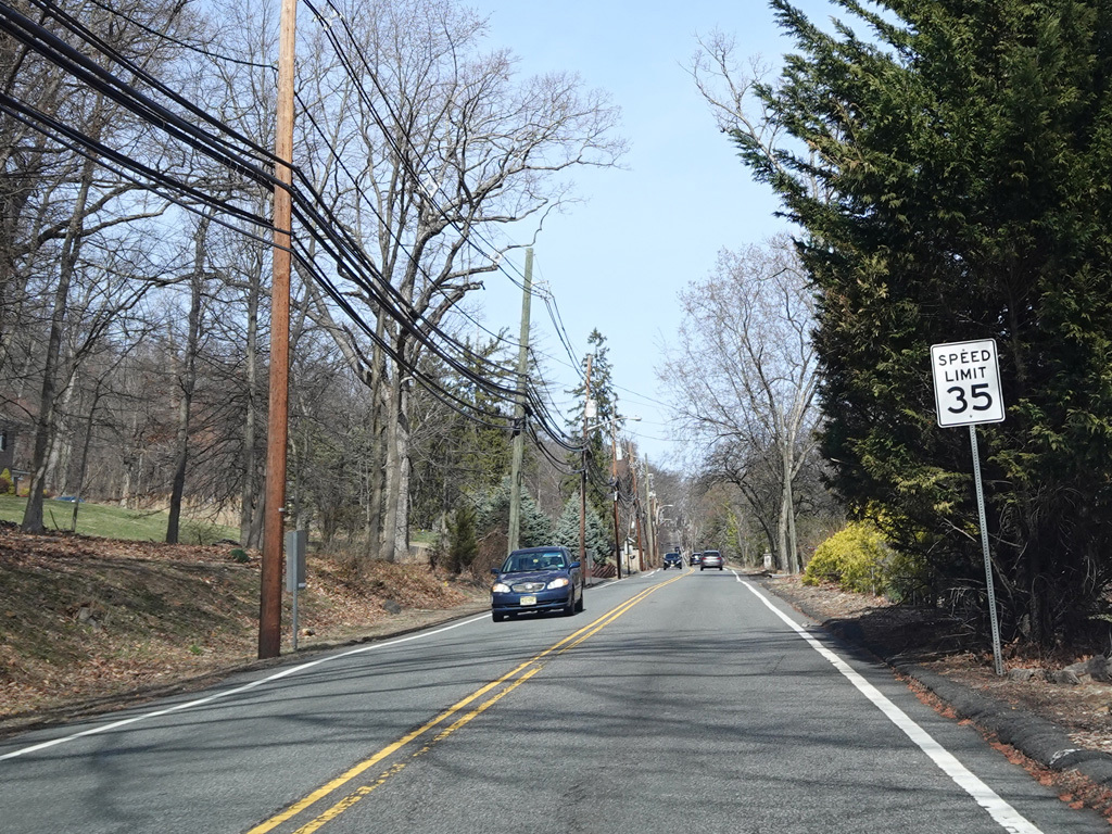
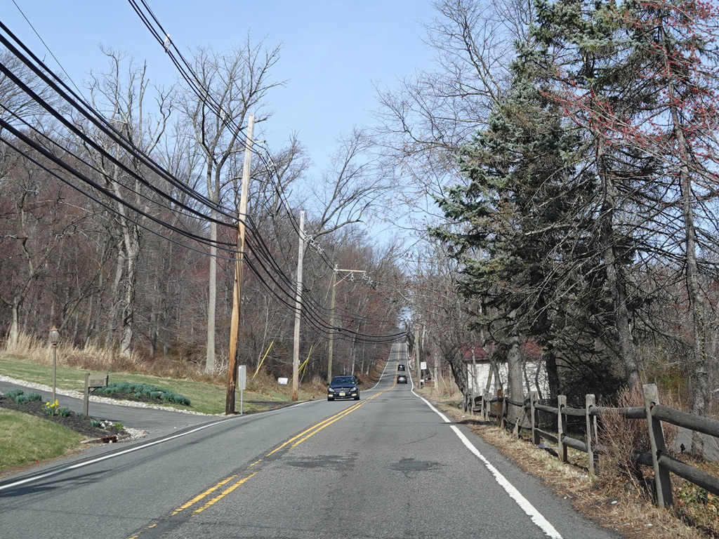
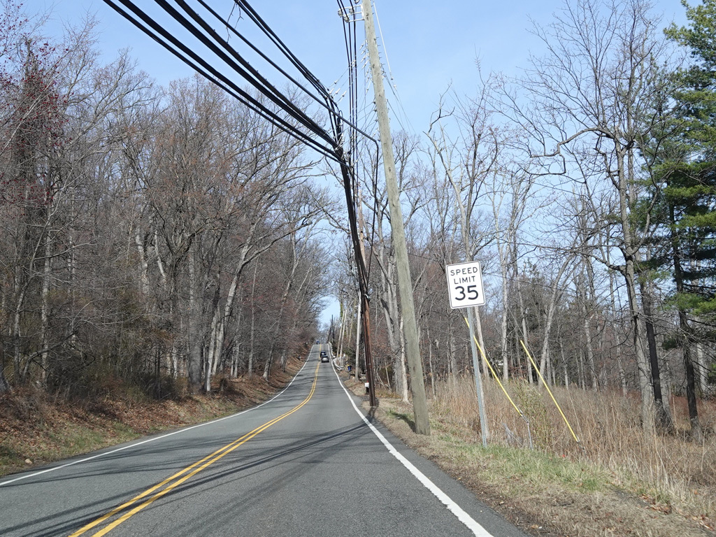
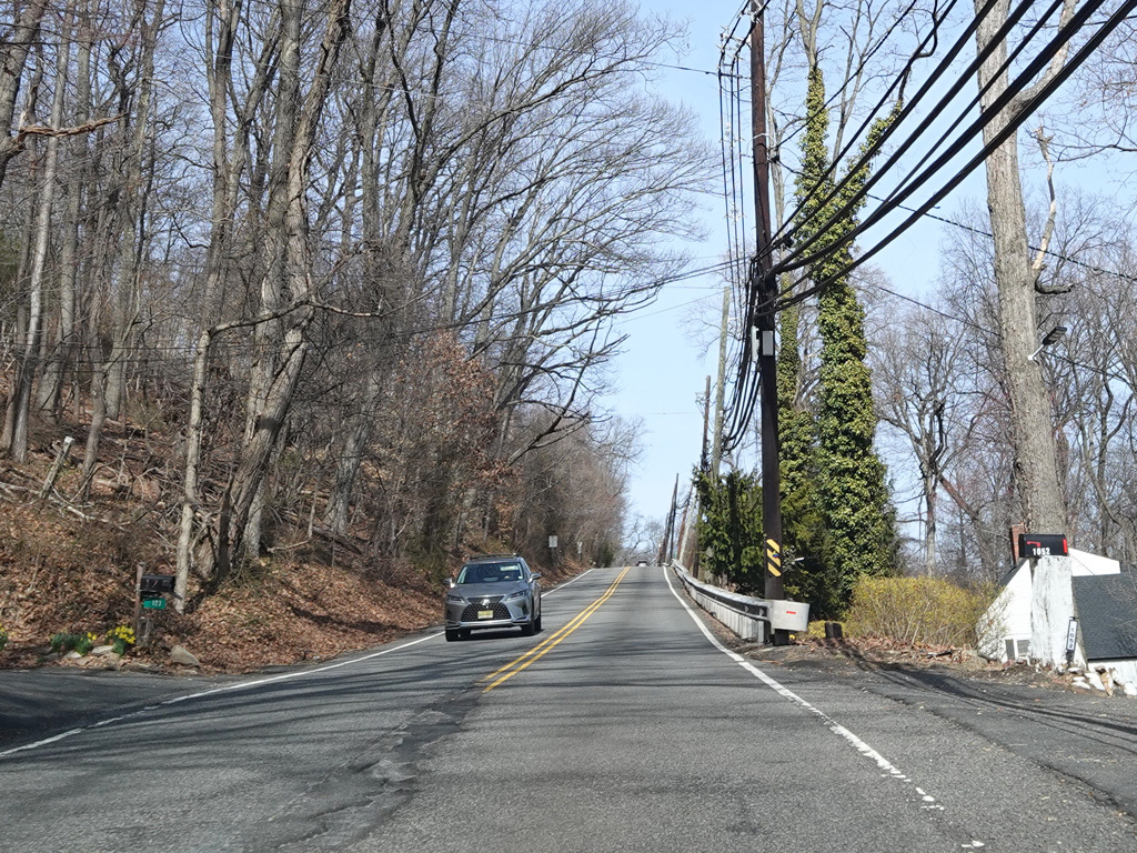
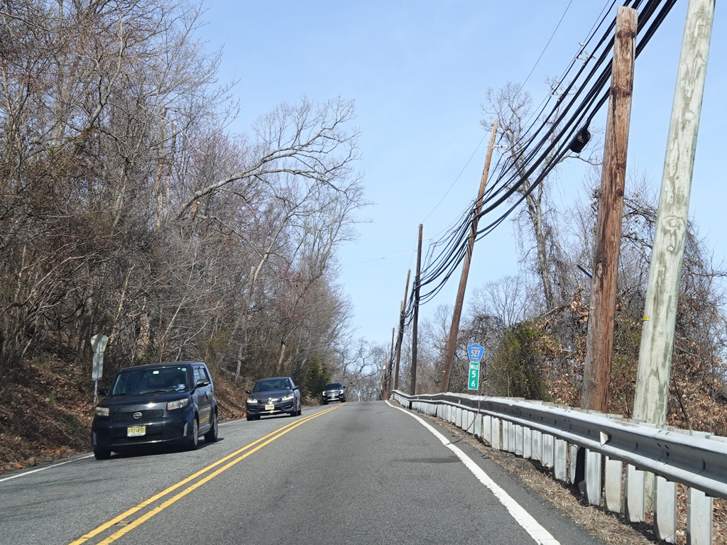
Mountain Avenue goes uphill. Along this stretch, it changes names to become Morning Glory Road.
Photos taken March 2025.
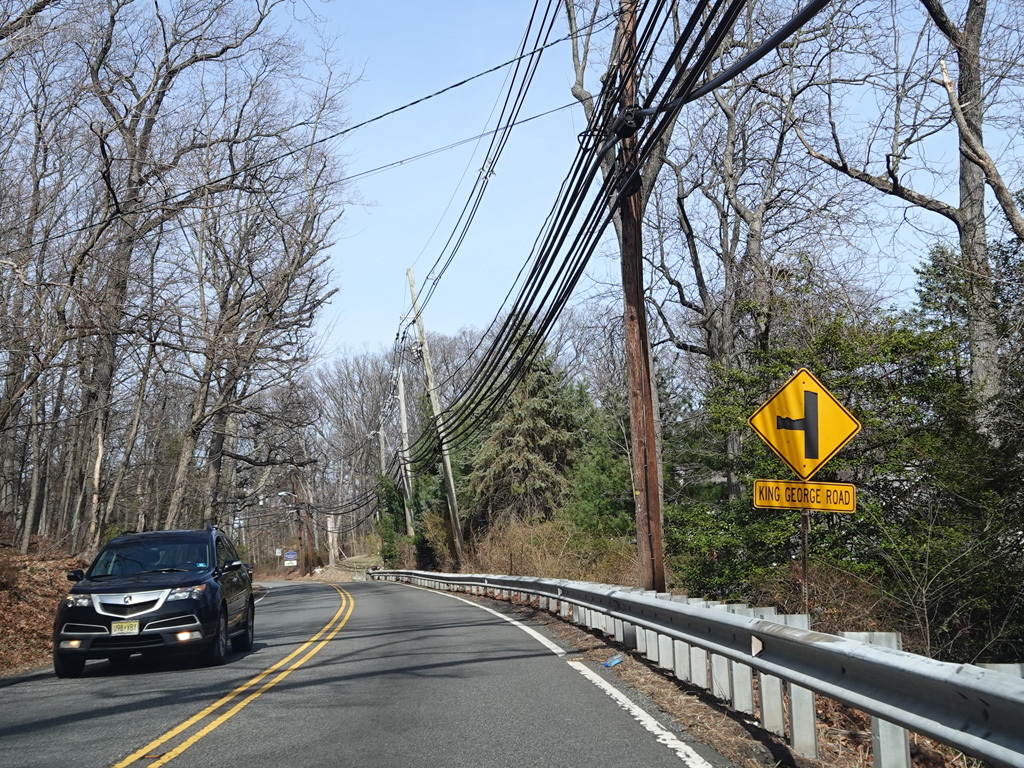
King George Road begins on the left.
Photo taken March 2025.
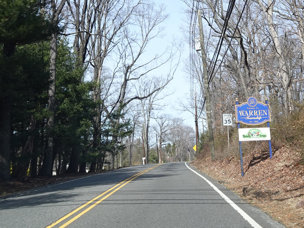
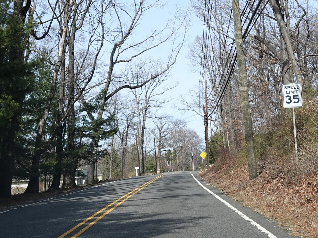
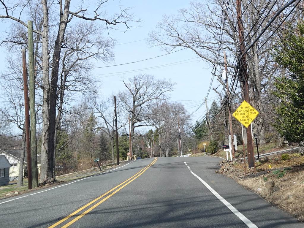
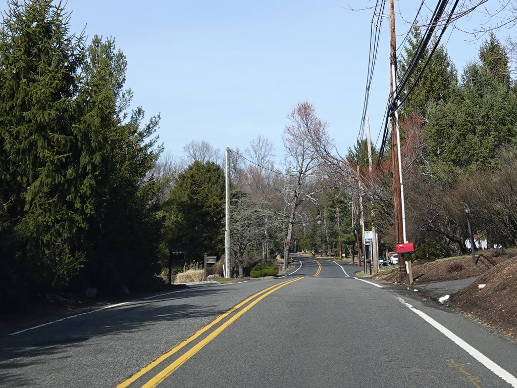
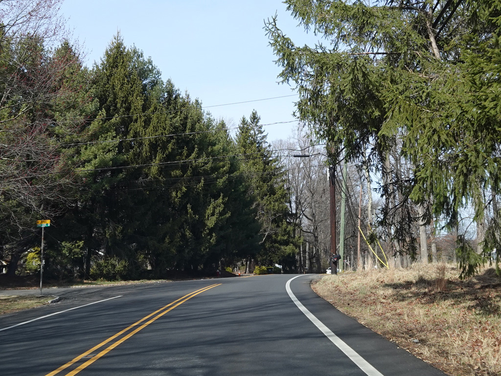
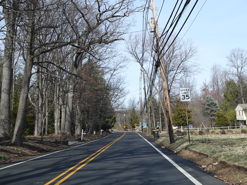
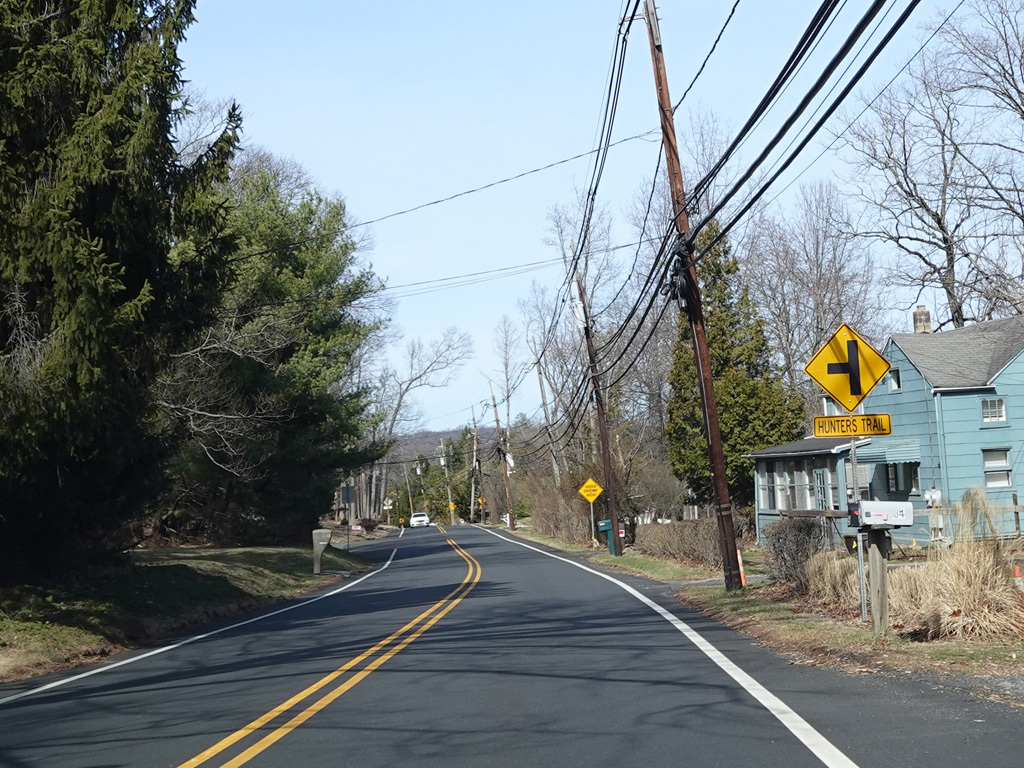
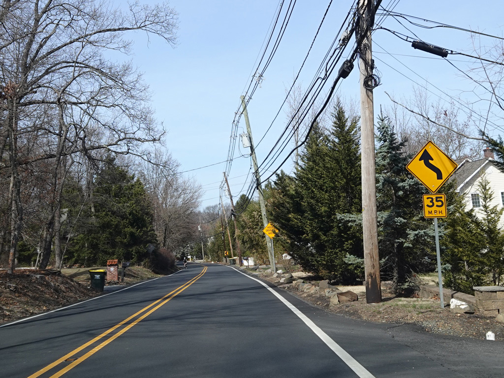
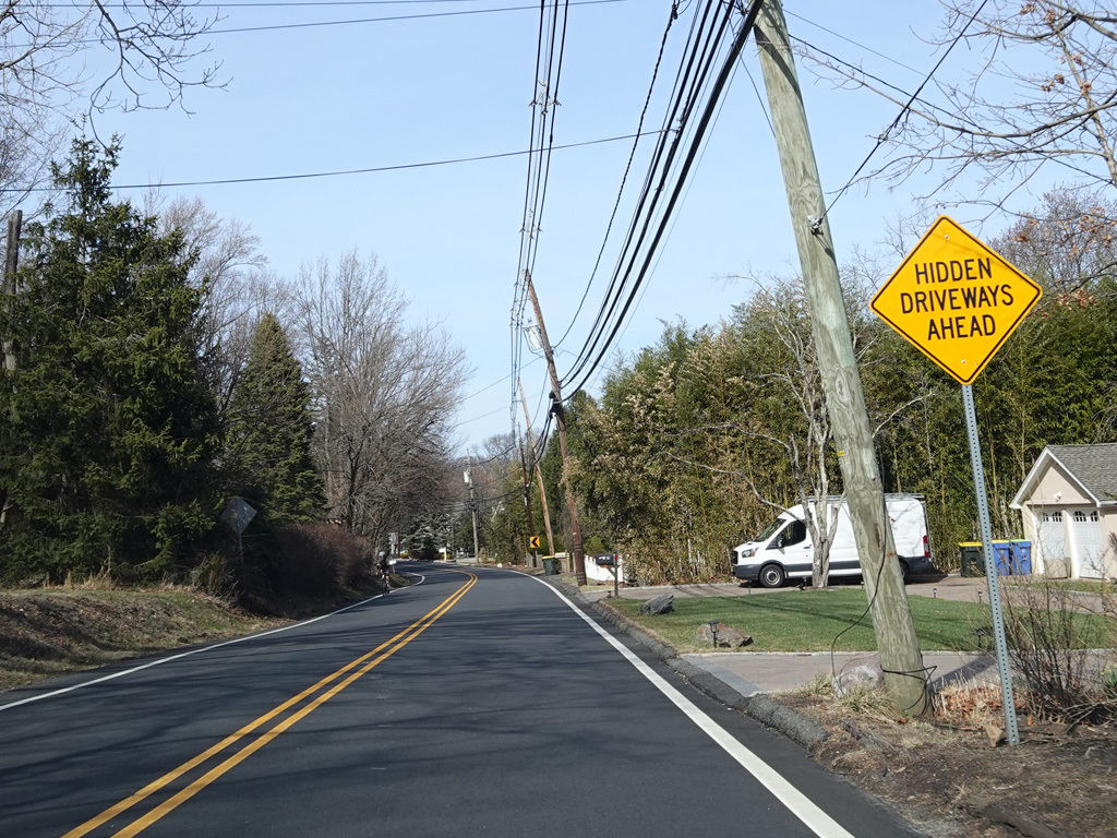
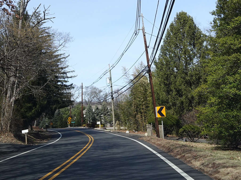
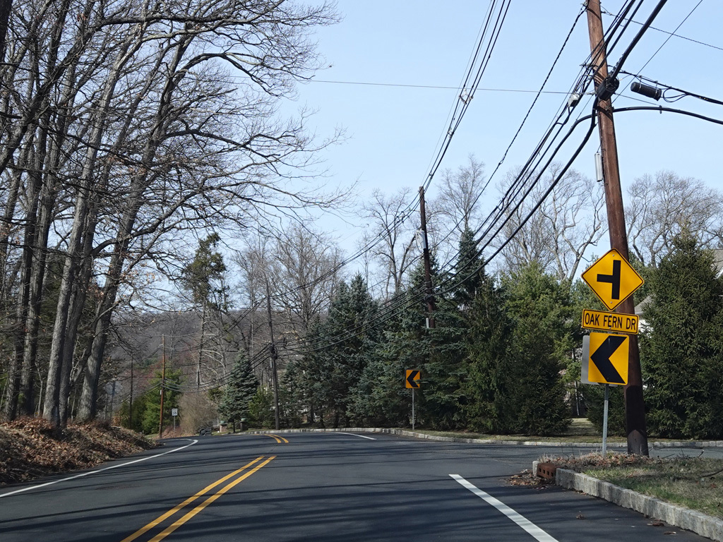
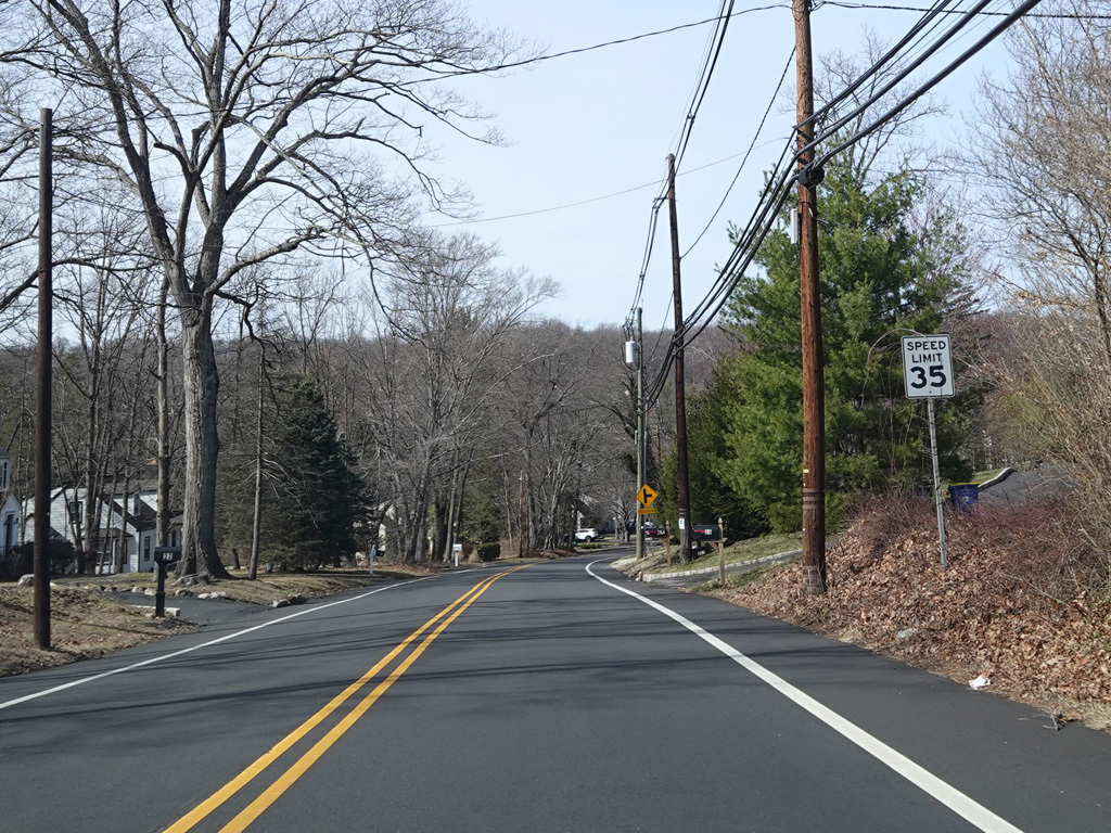
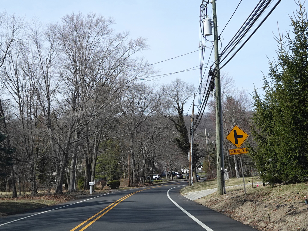
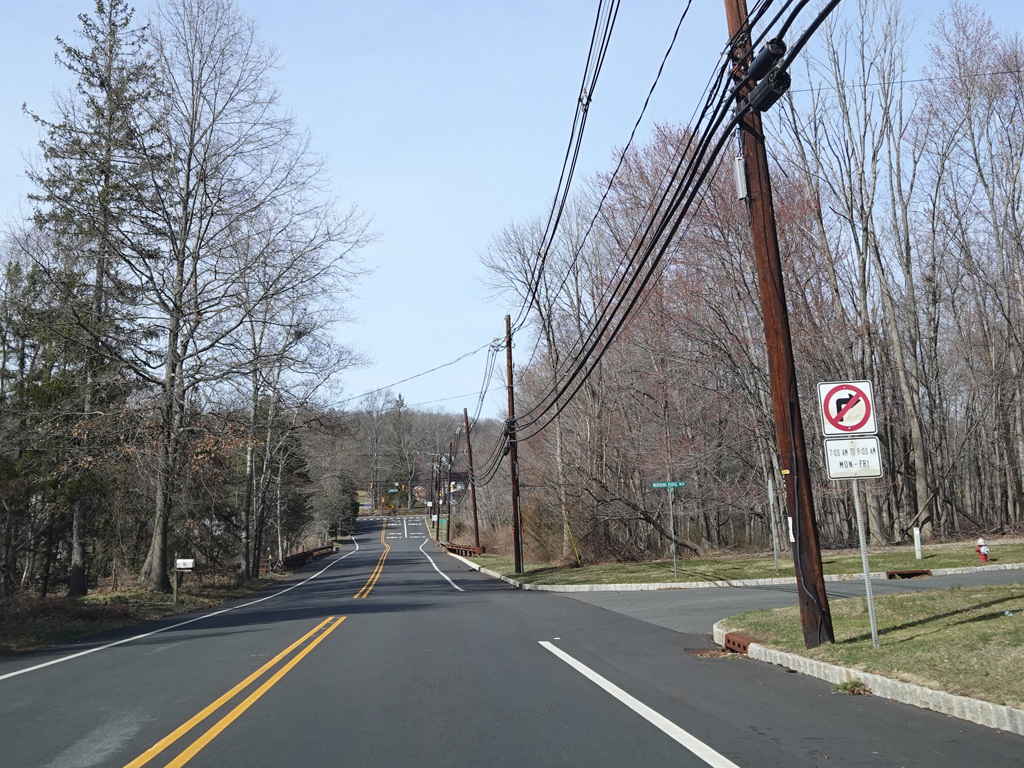
Welcome to Warren Township! There an uncontrolled intersections at Hunters Trail, Oak Fern Drive, and Hidden Hollow Way along this stretch.
Photos taken March 2025.
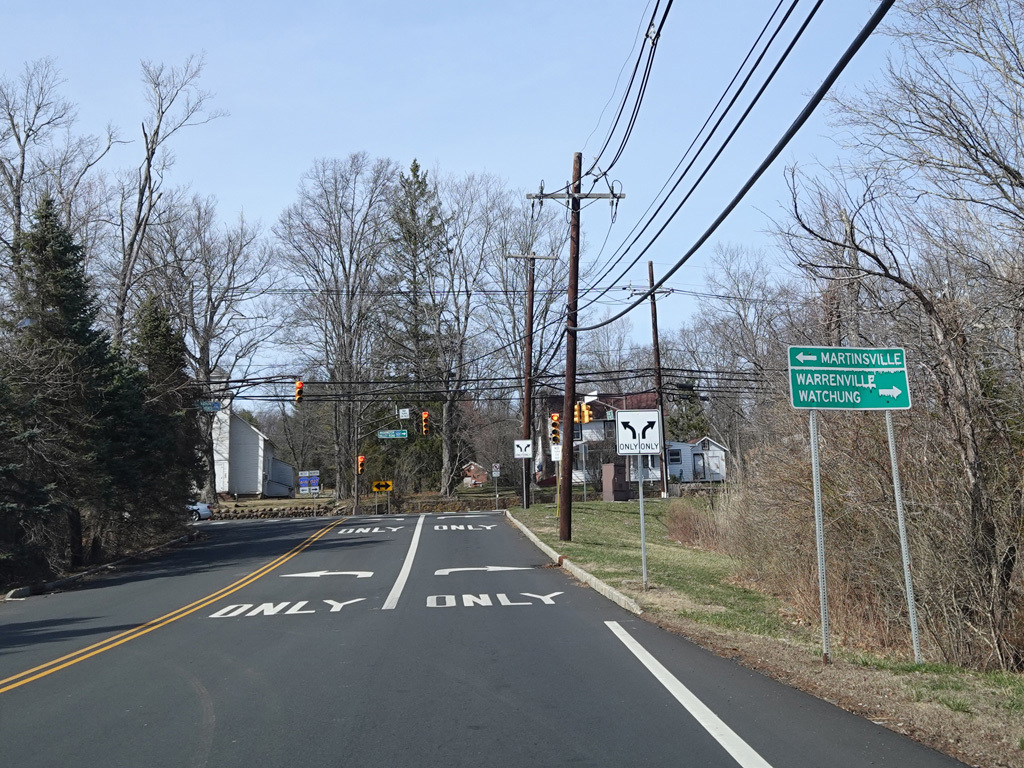
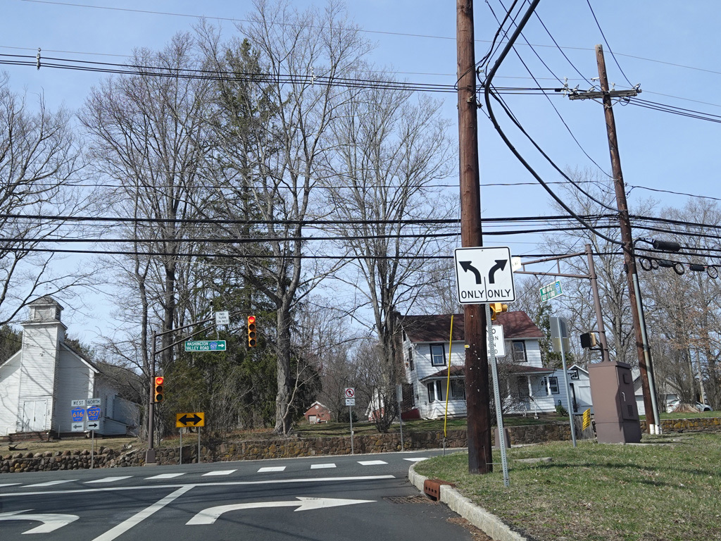
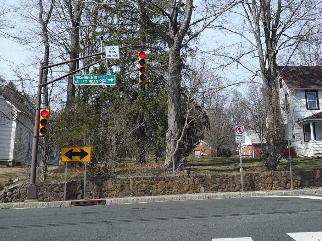
Morning Glory Road ends at a traffic light at Washington Valley Road. Turn right to continue north on CR 527. Turn left to go west on CR 616.
Photos taken March 2025.
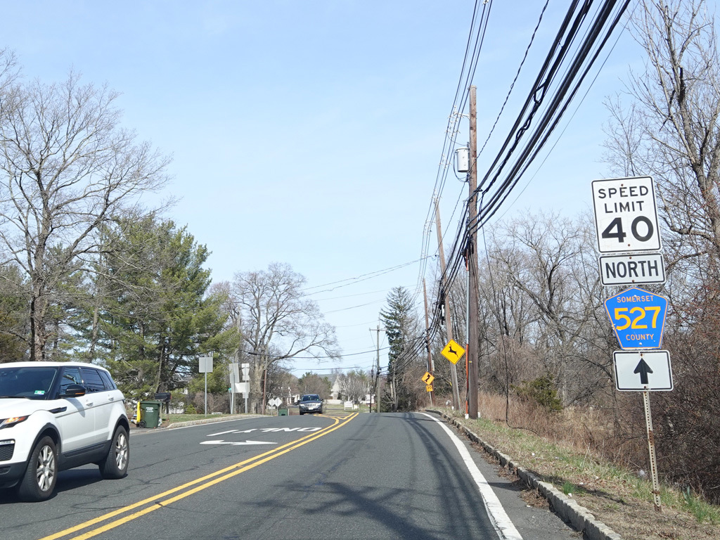
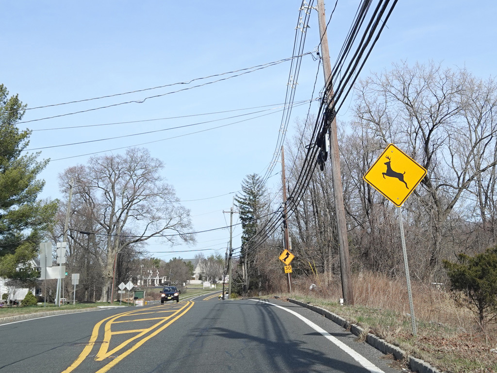
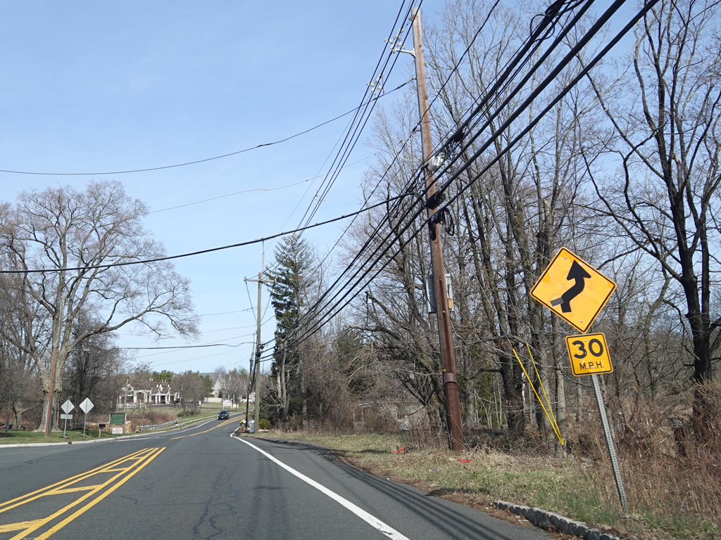
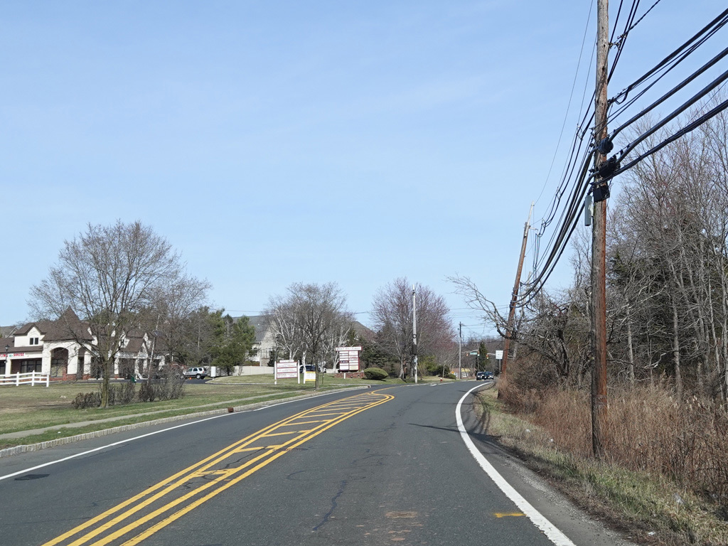
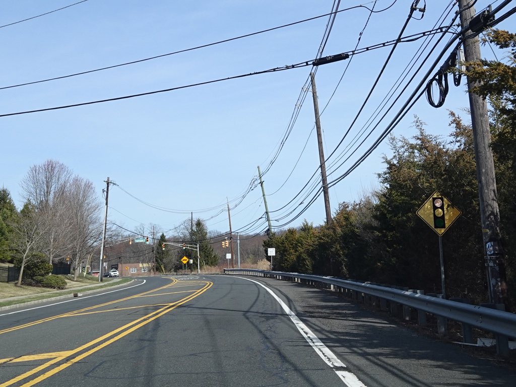
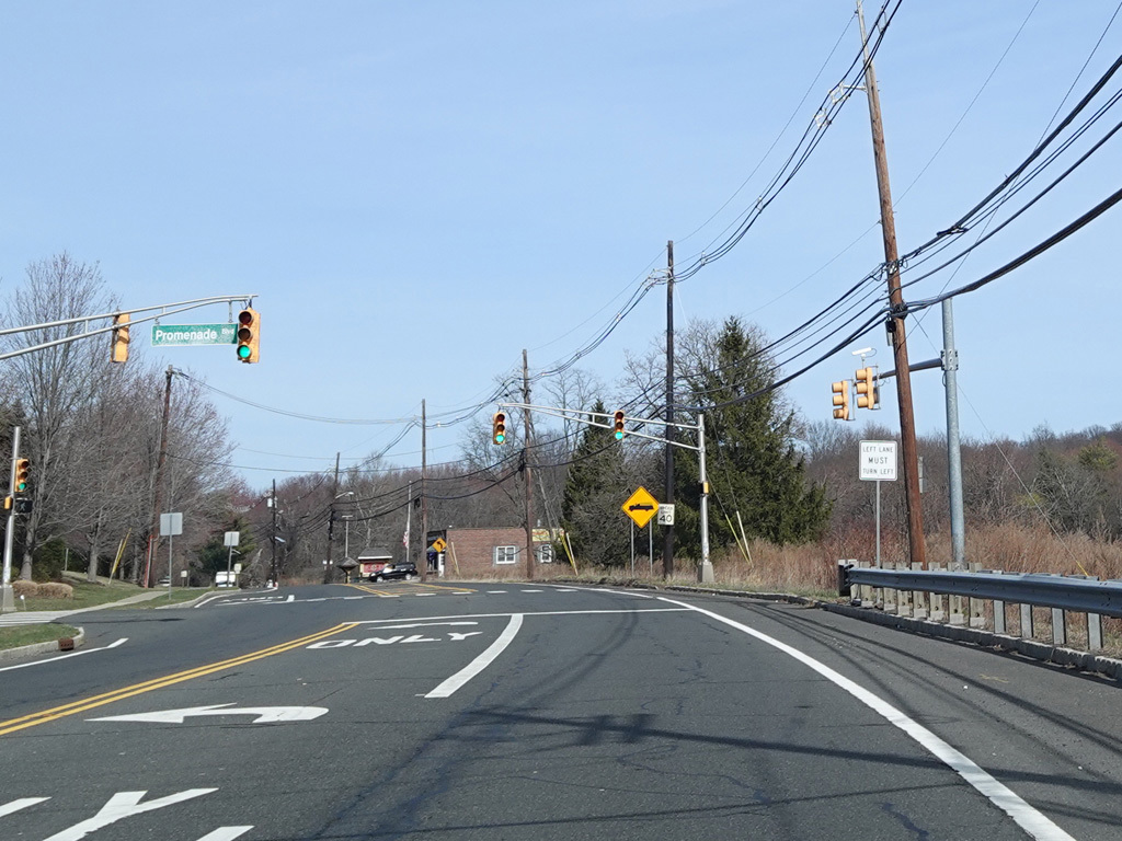
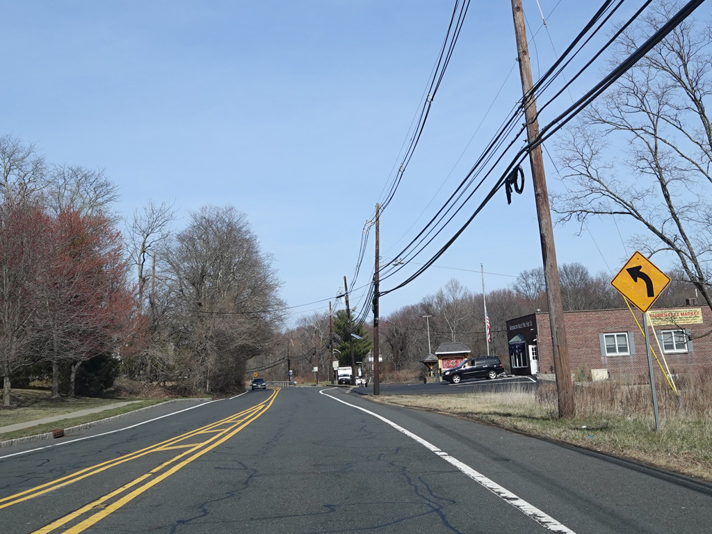
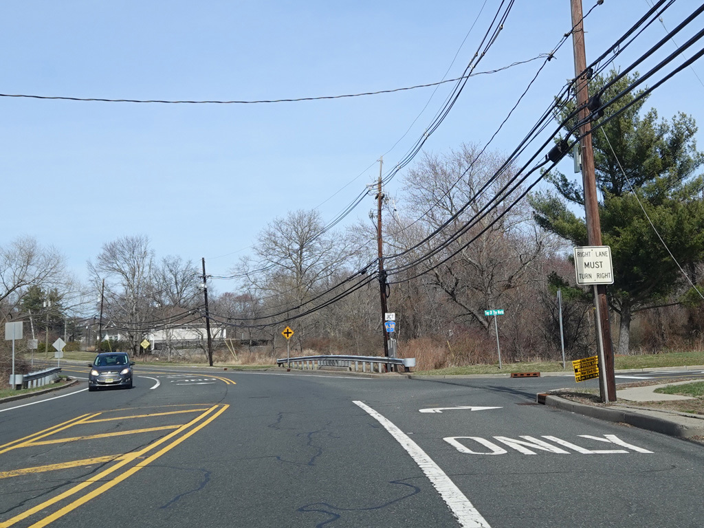
Washington Valley Road runs east as a two-lane undivided road. There is a traffic light at Promenade Boulevard.
Photos taken March 2025.
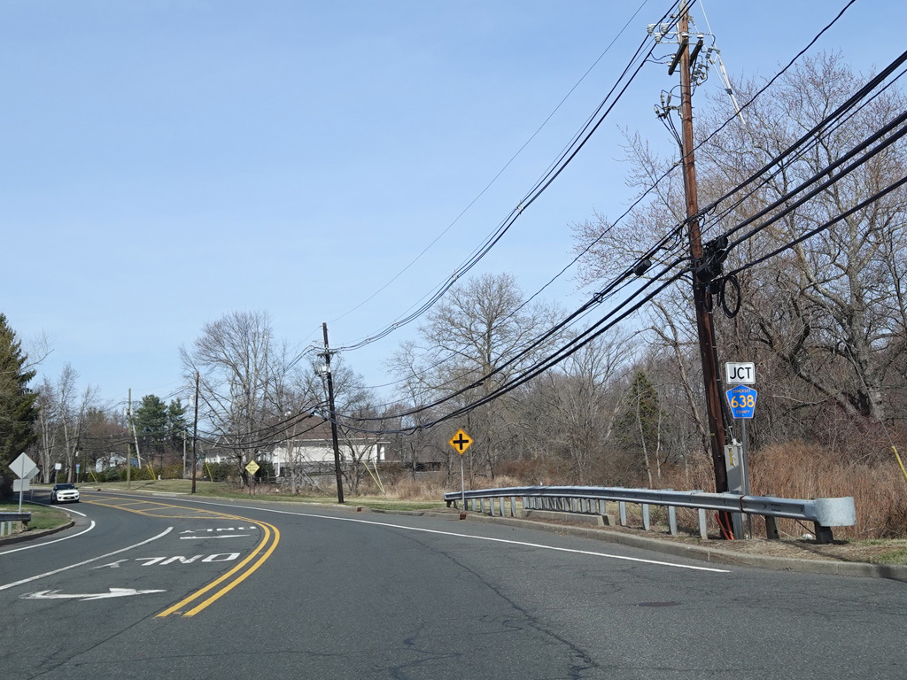
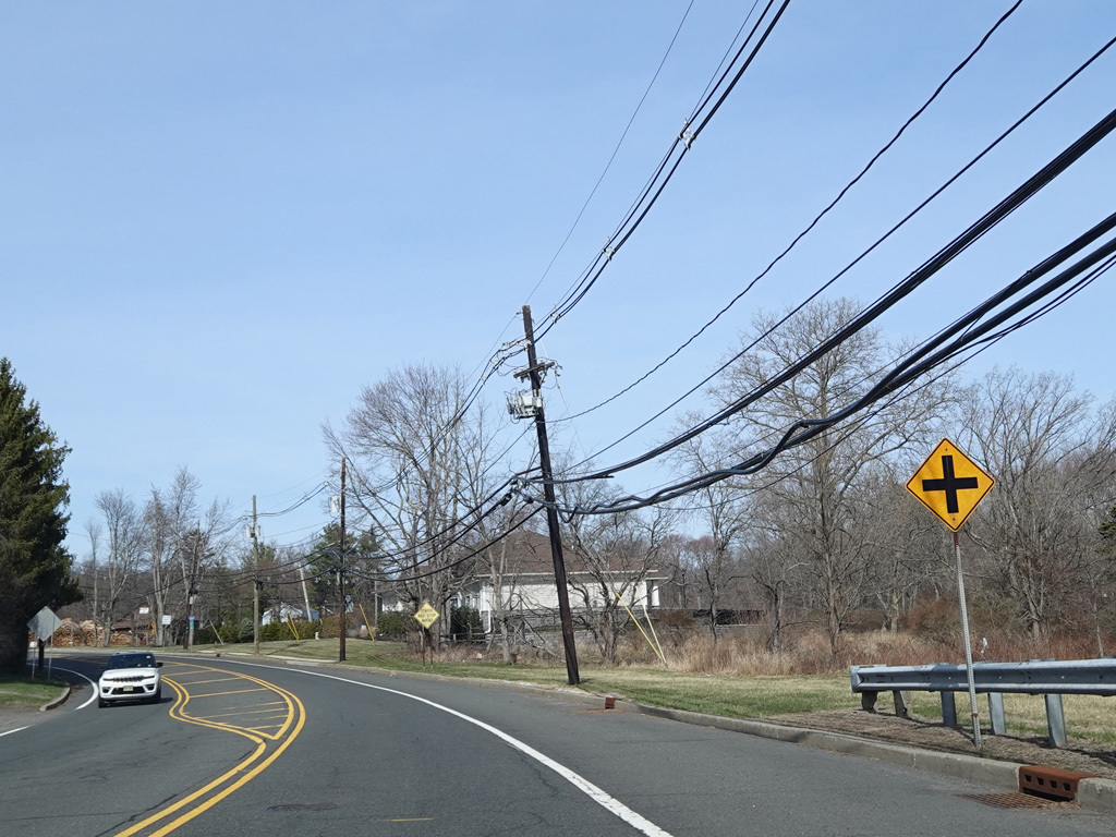
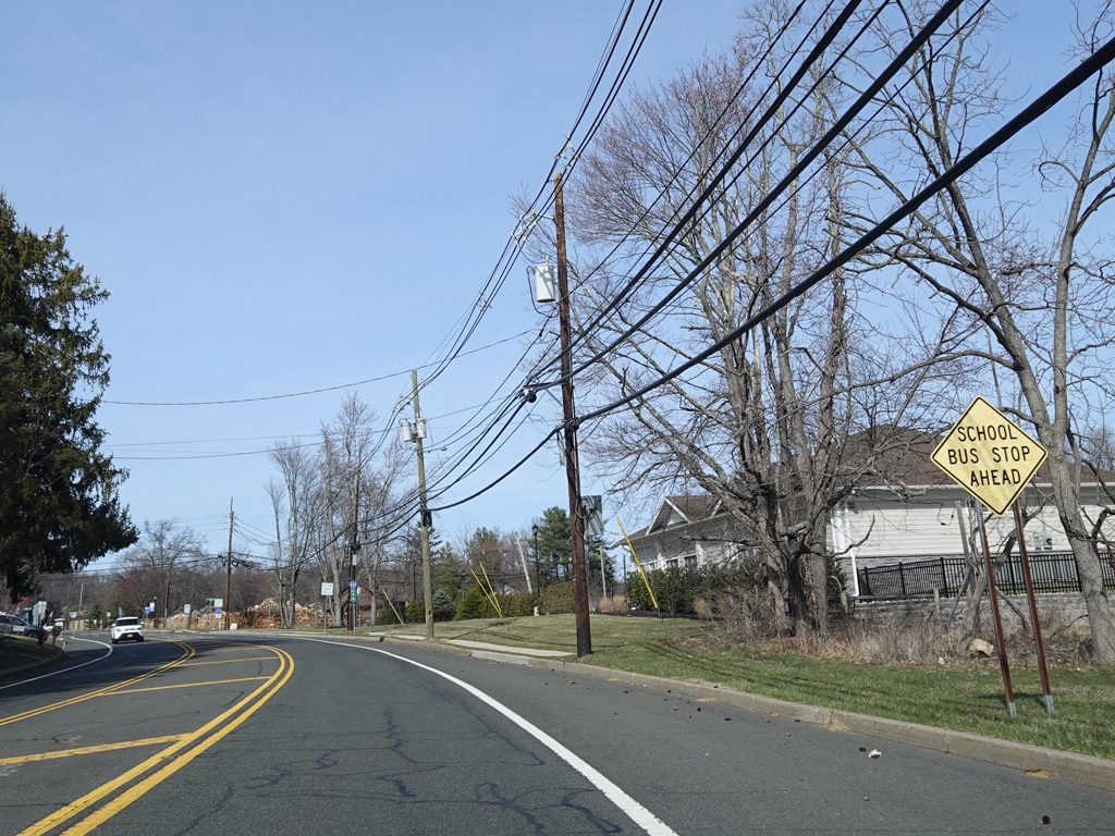
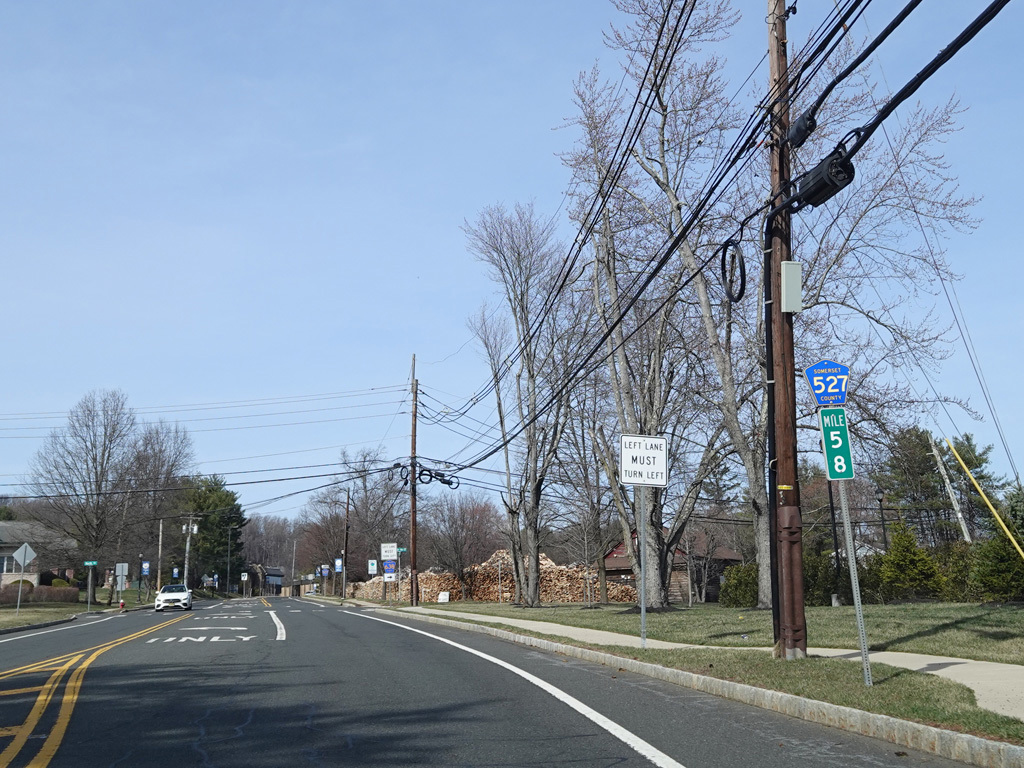
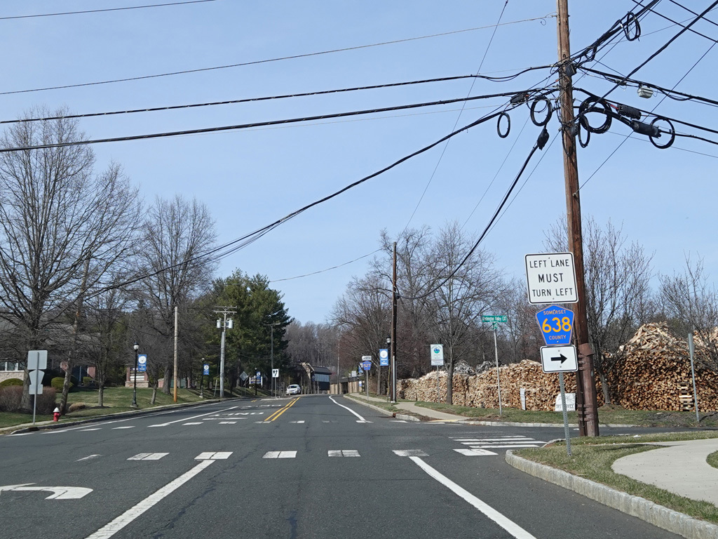
Washington Valley Road splits off to the right as CR 638, while CR 527 continues straight ahead as Mountain Boulevard.
Photos taken March 2025.
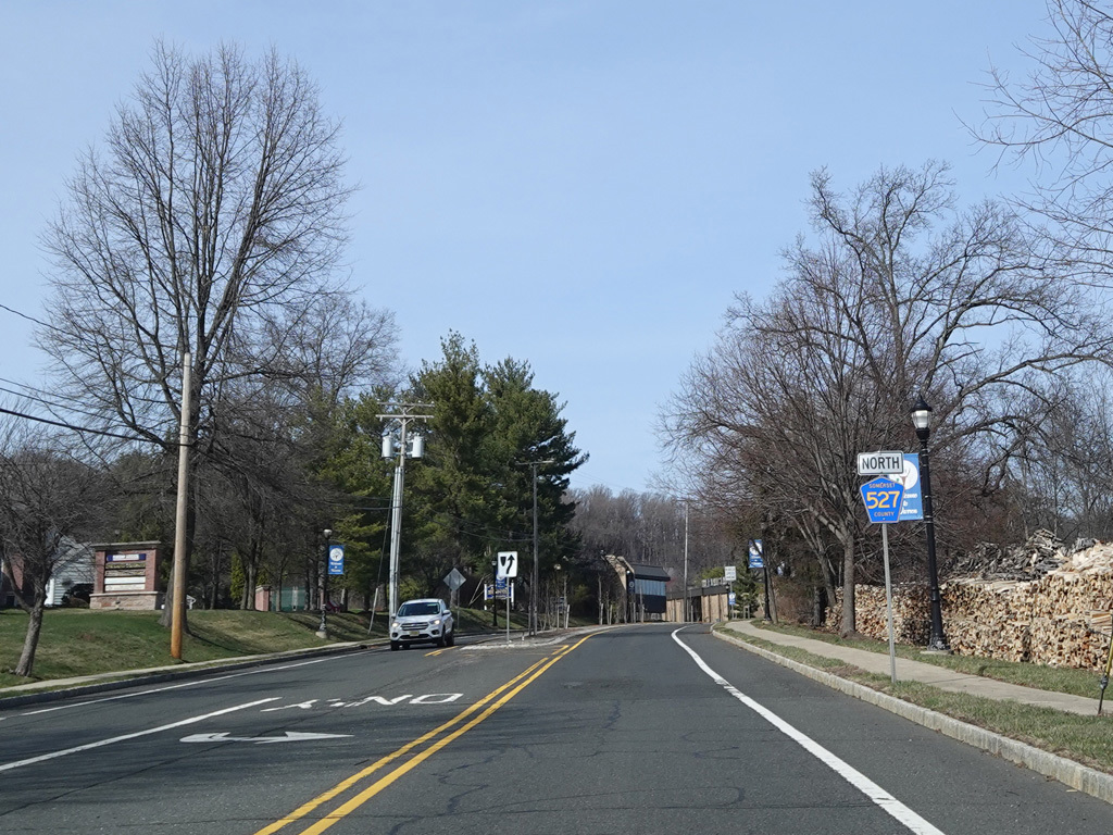
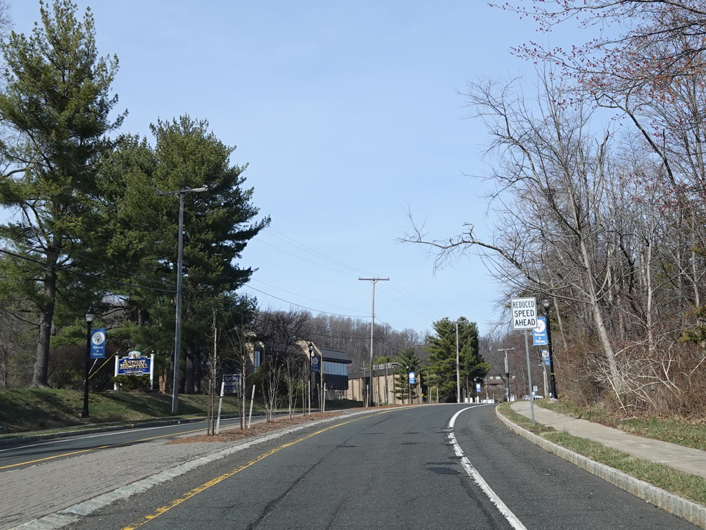
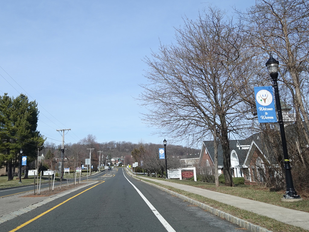
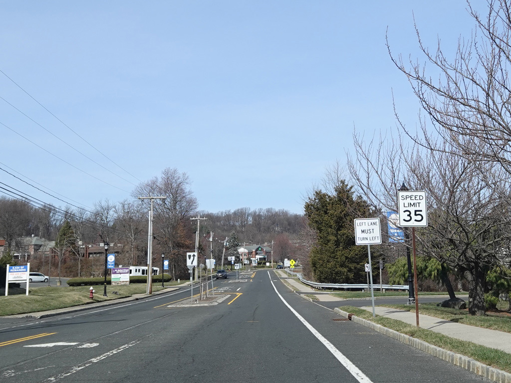
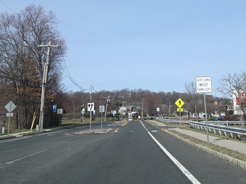
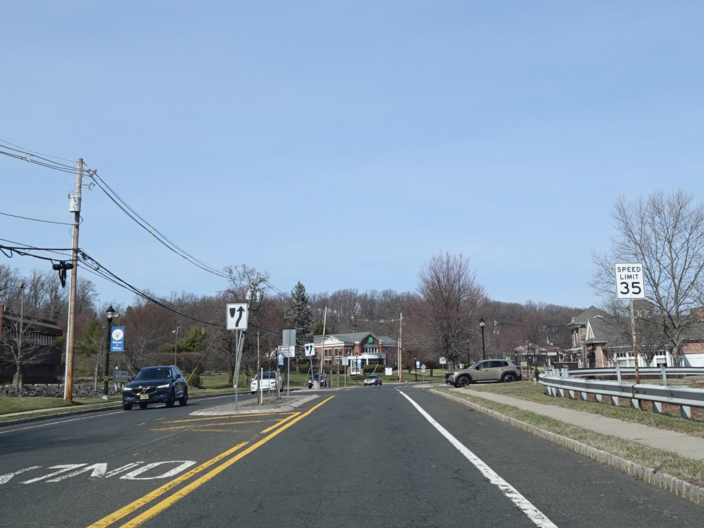
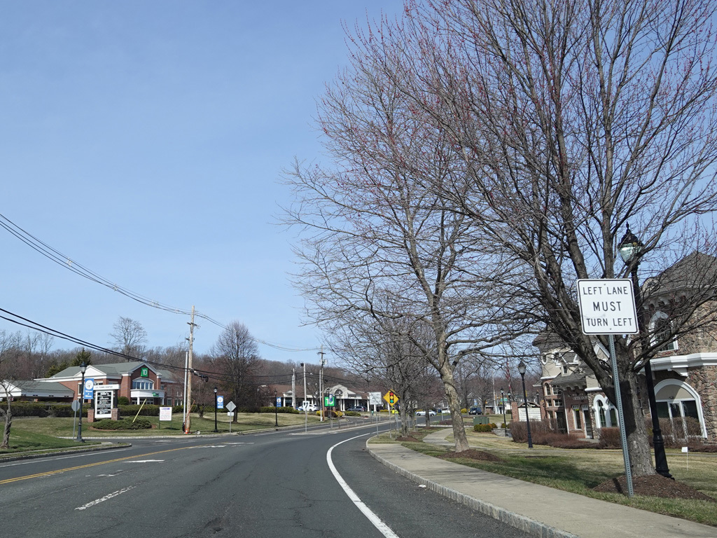
In the downtown area of Warren, Mountain Boulevard is a two-lane divided road with a brick median.
Photos taken March 2025.
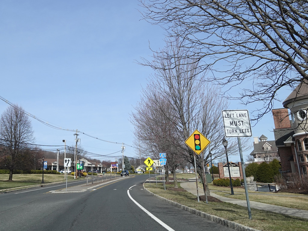
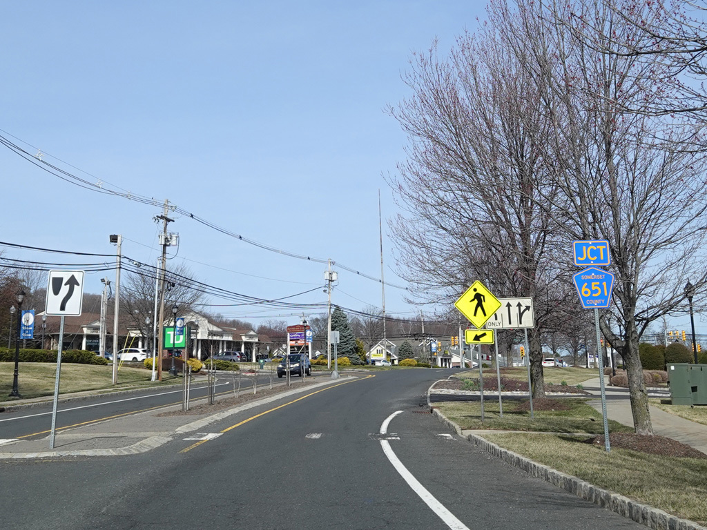
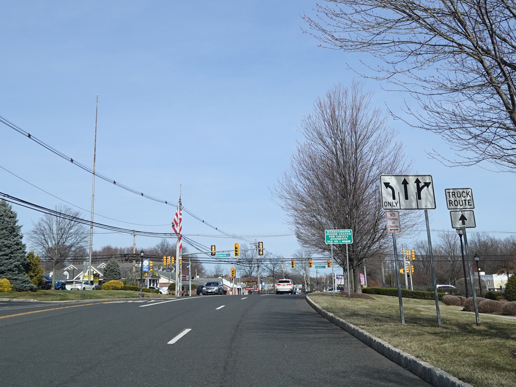
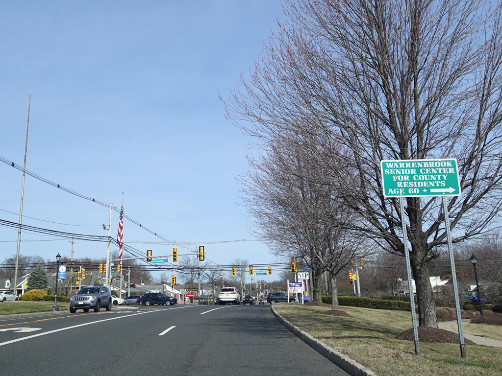
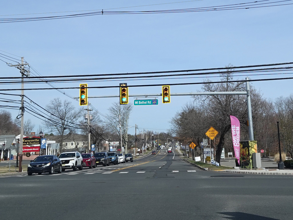
There is a traffic light at Mount Bethel Road (CR 651).
Photos taken March 2025.
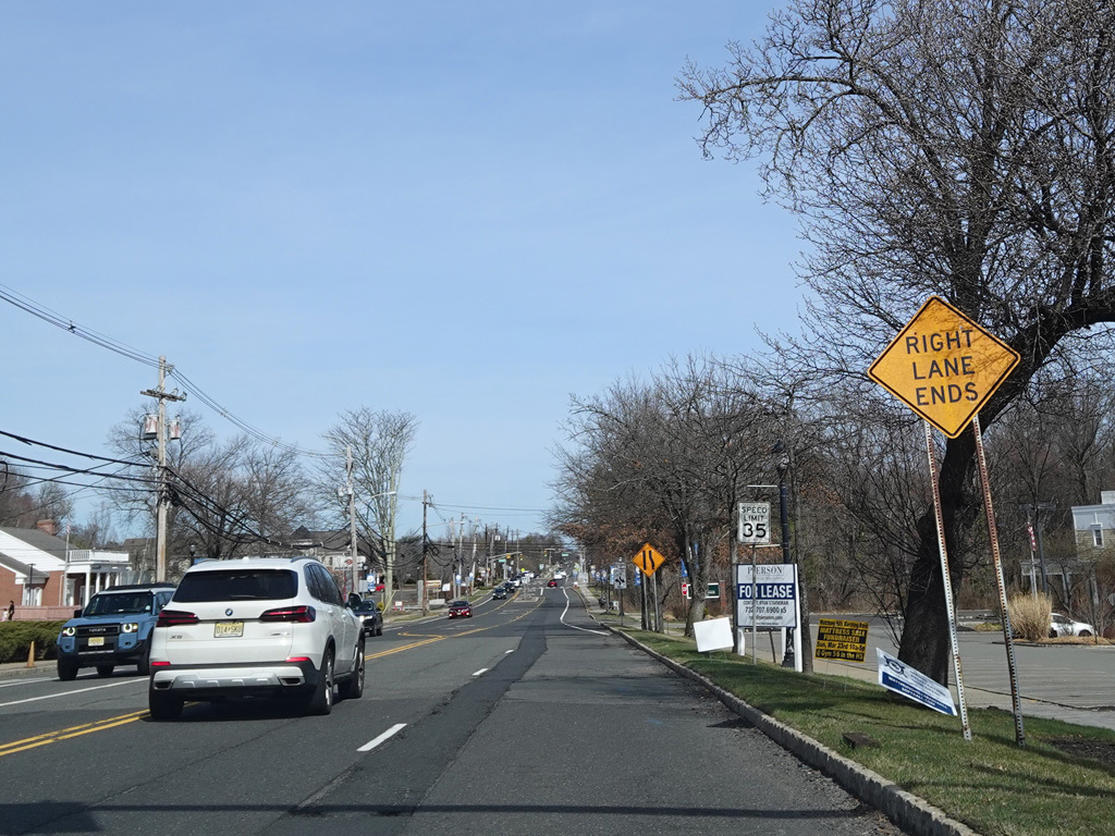
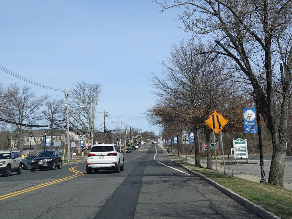
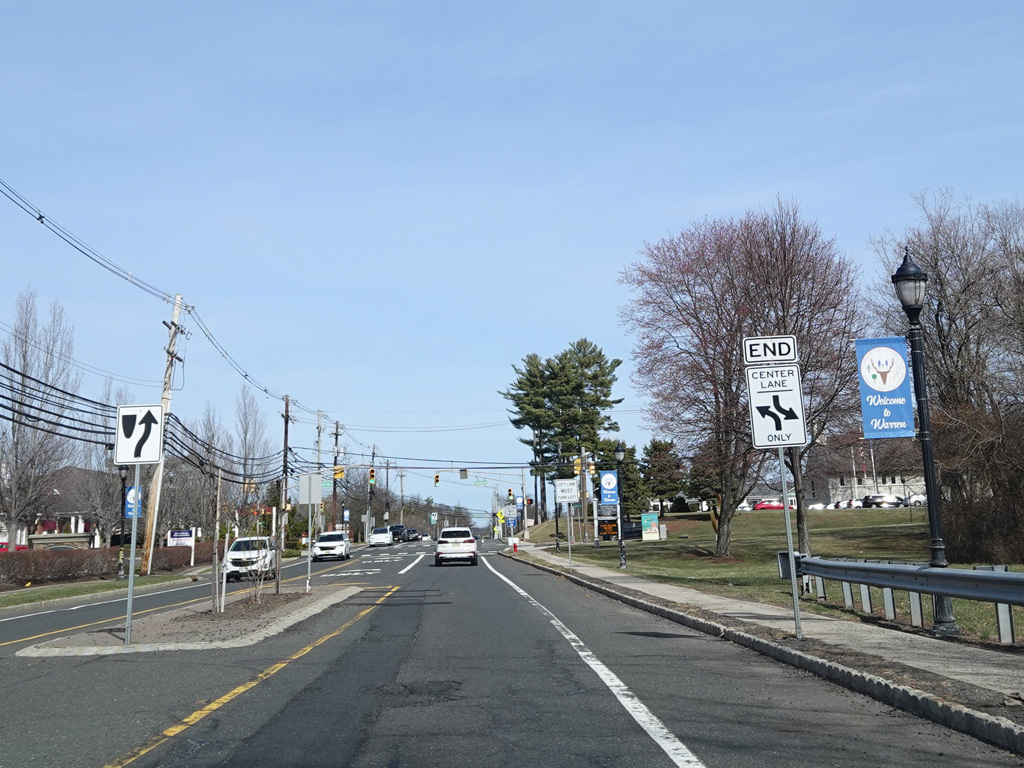
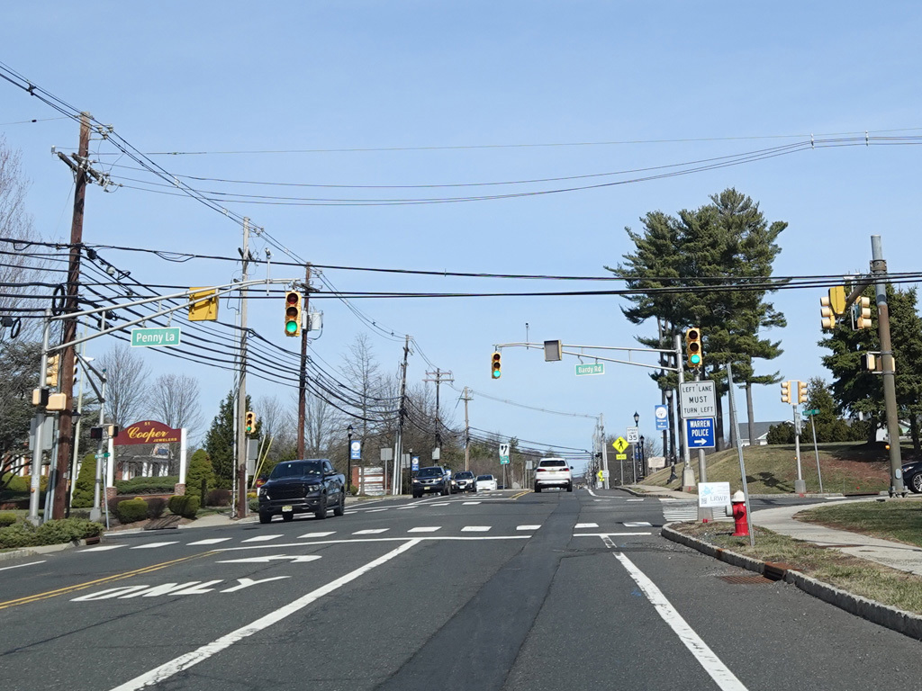
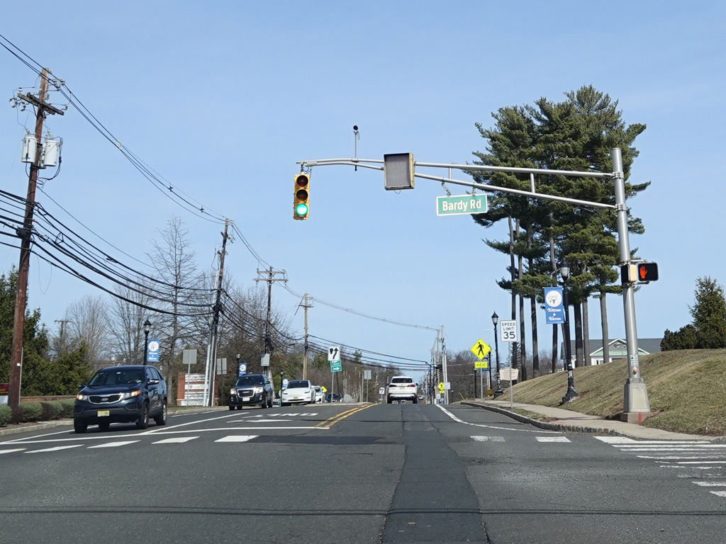
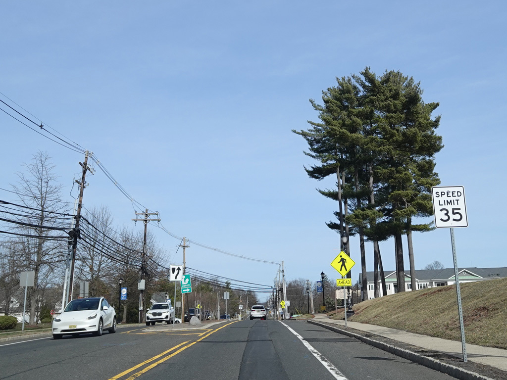
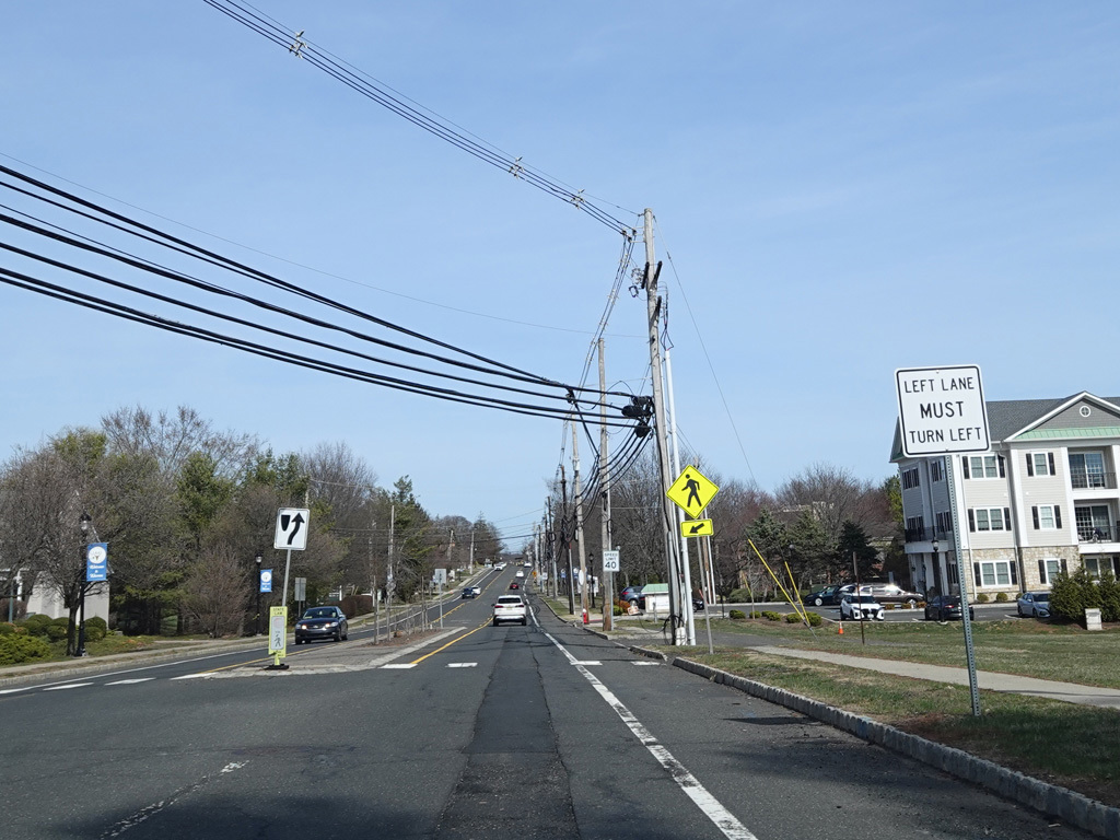
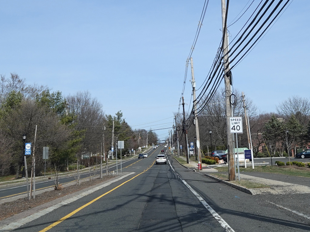
Mountain Boulevard continues east as two-lane divided road. There is a traffic light at Penny Lane and Bardy Road.
Photos taken March 2025.
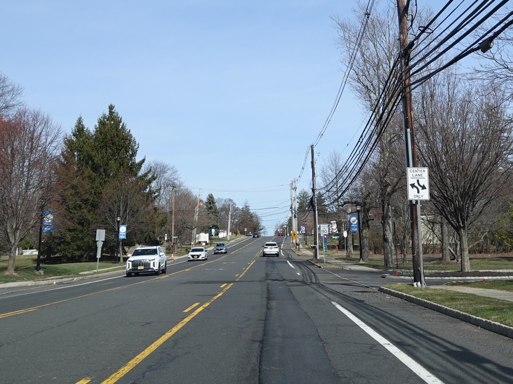
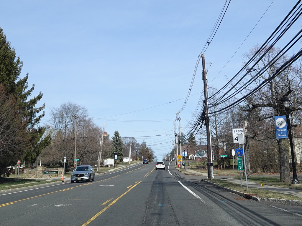
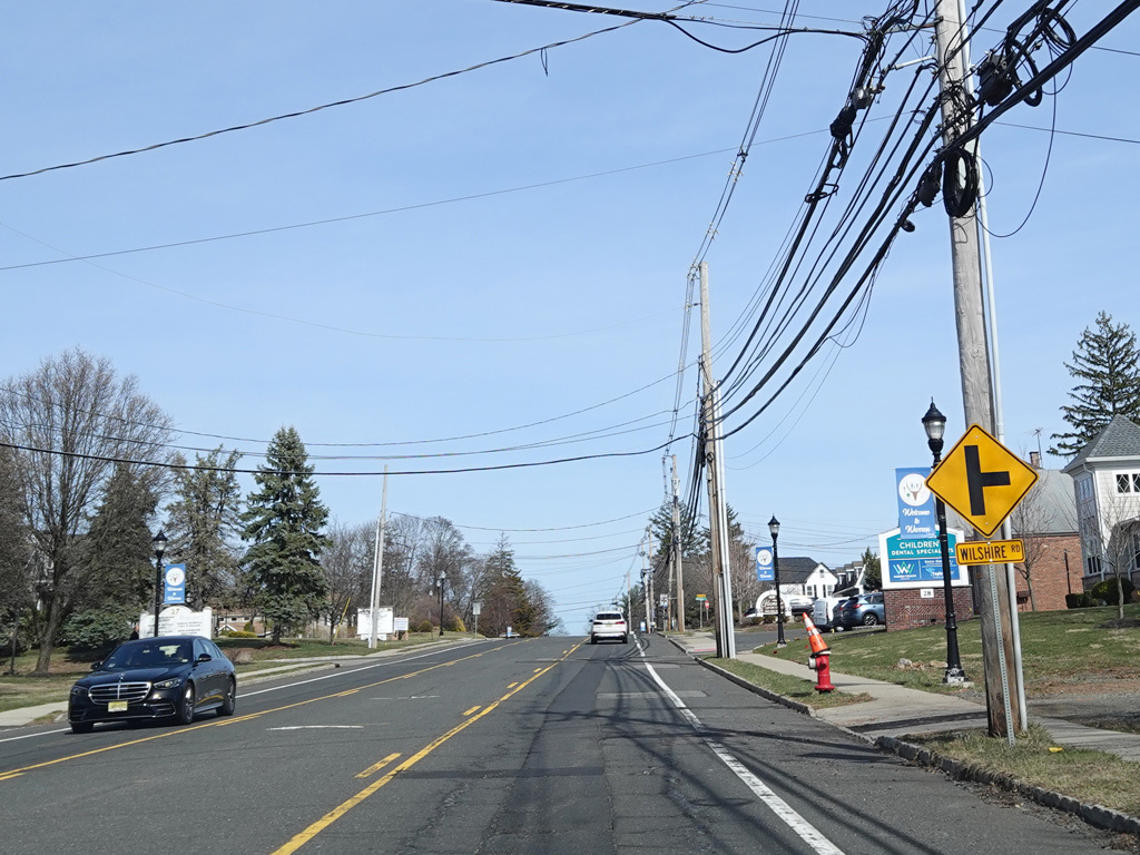
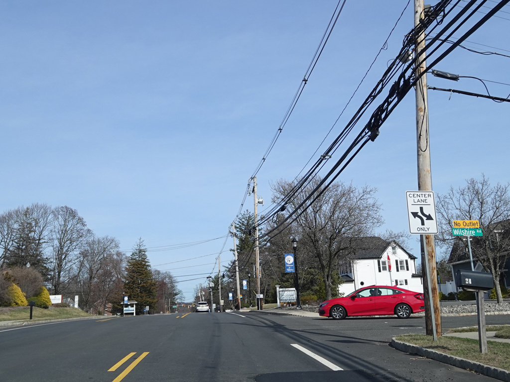
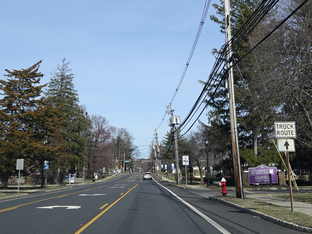
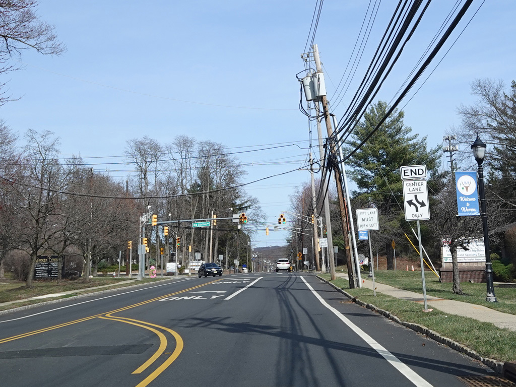
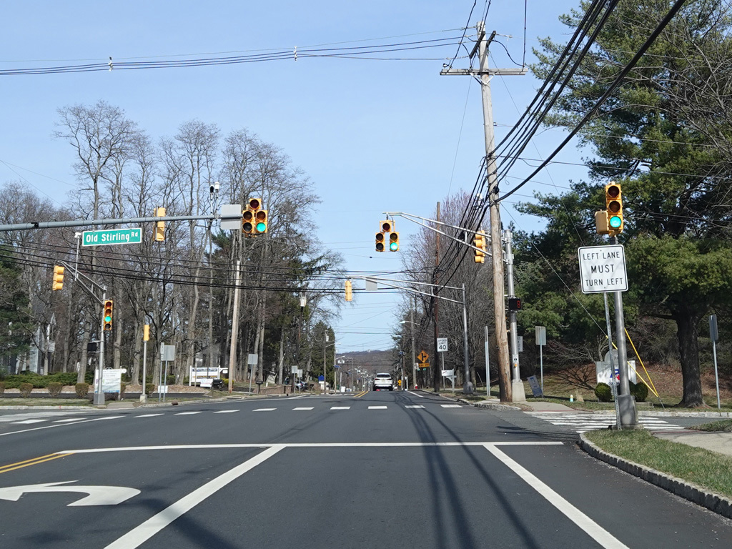
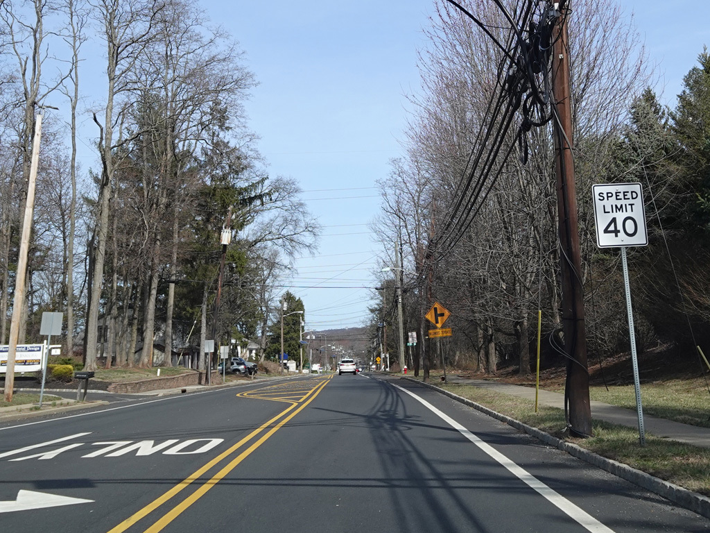
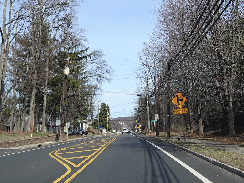
The median ends, and Mountain Boulevard continues east as a two-lane undivided road. There is a traffic light at Old Stirling Road, as well as uncontrolled intersections at Wilshire Road and Wildwood Terrace.
Photos taken March 2025.
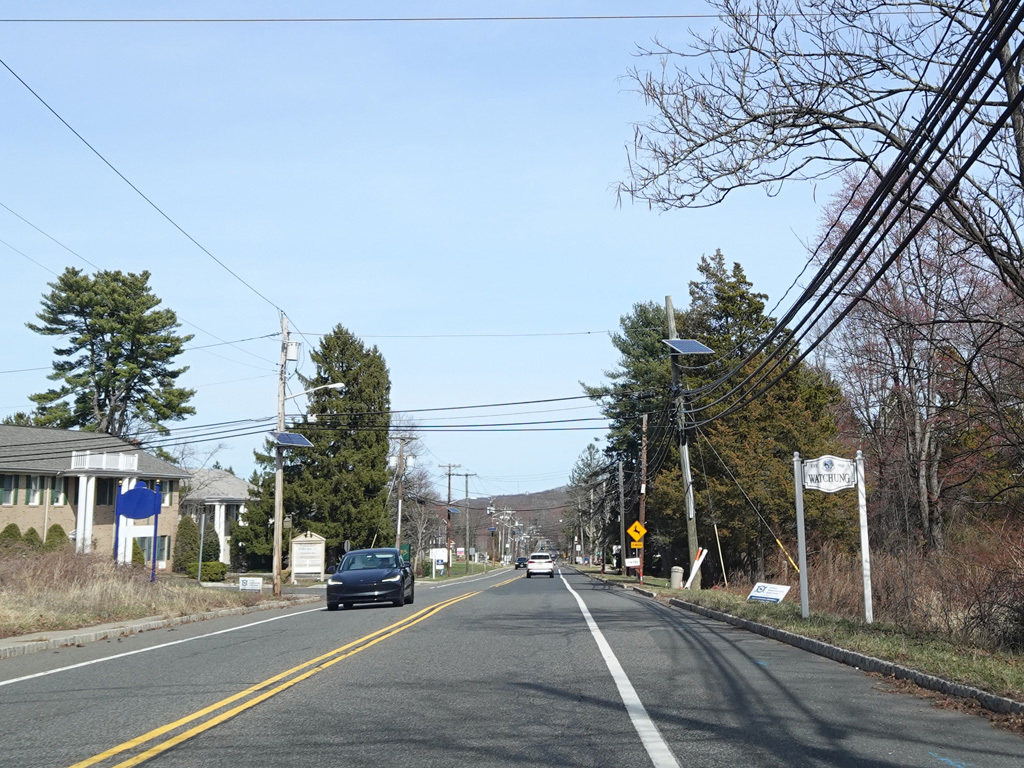
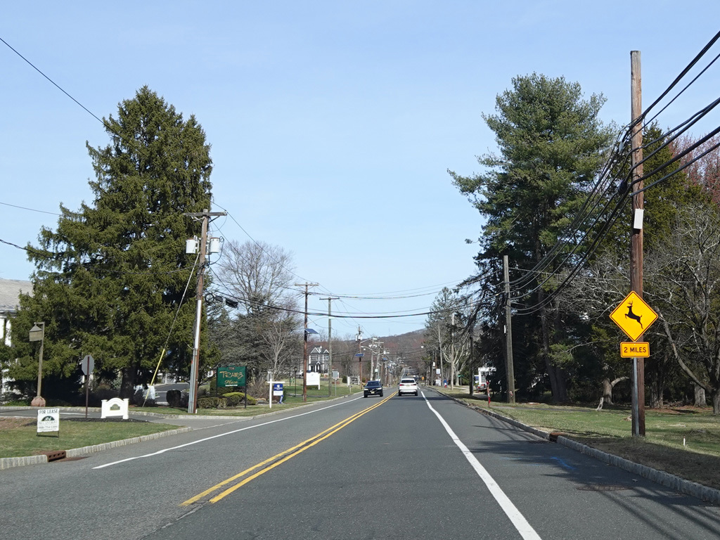
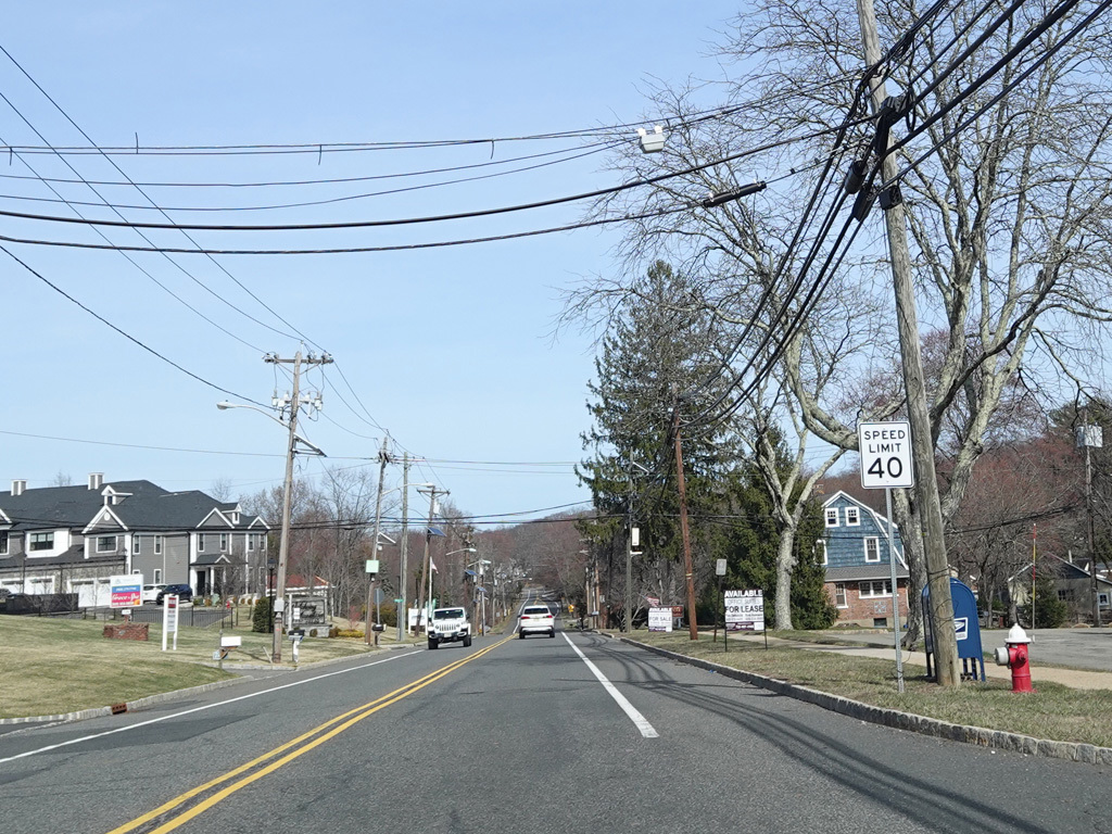
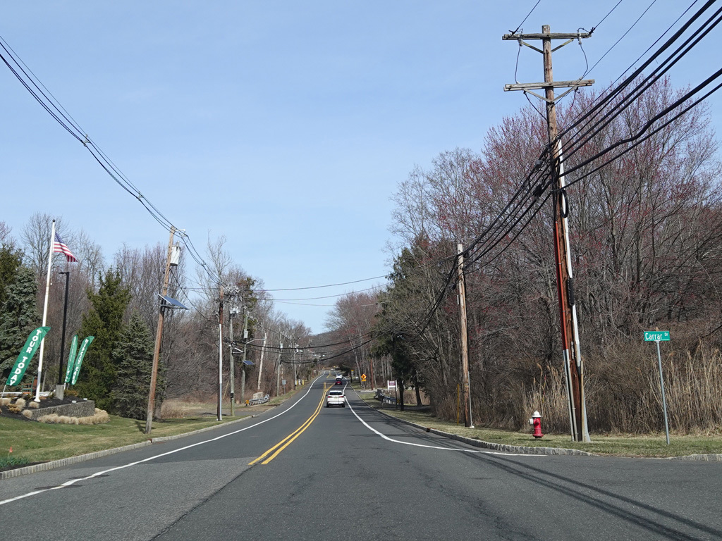
Welcome to Watchung!
Photos taken March 2025.
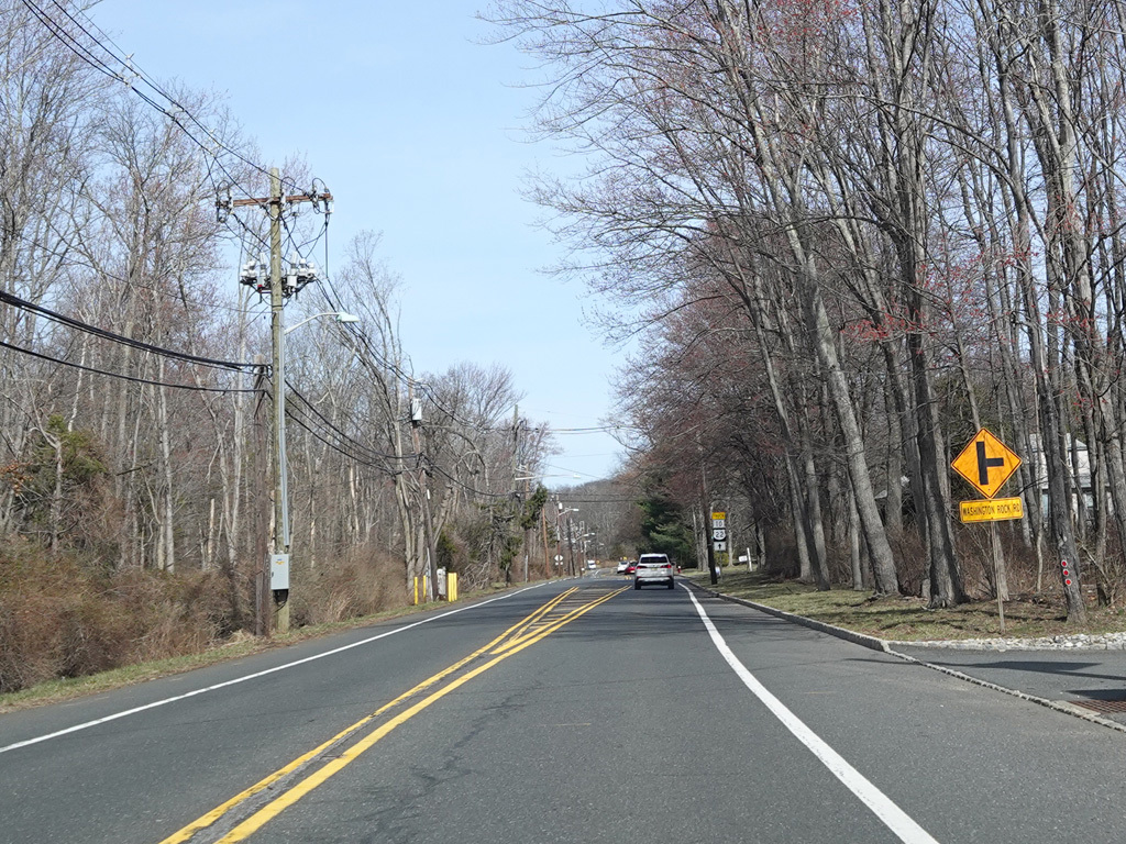
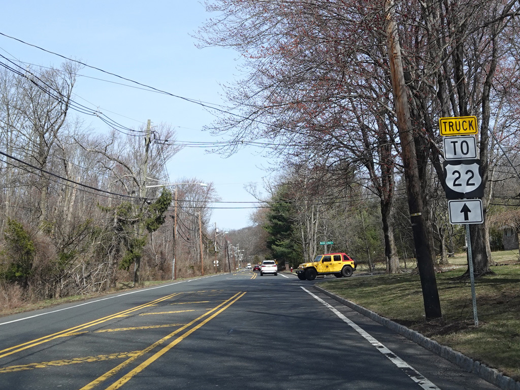
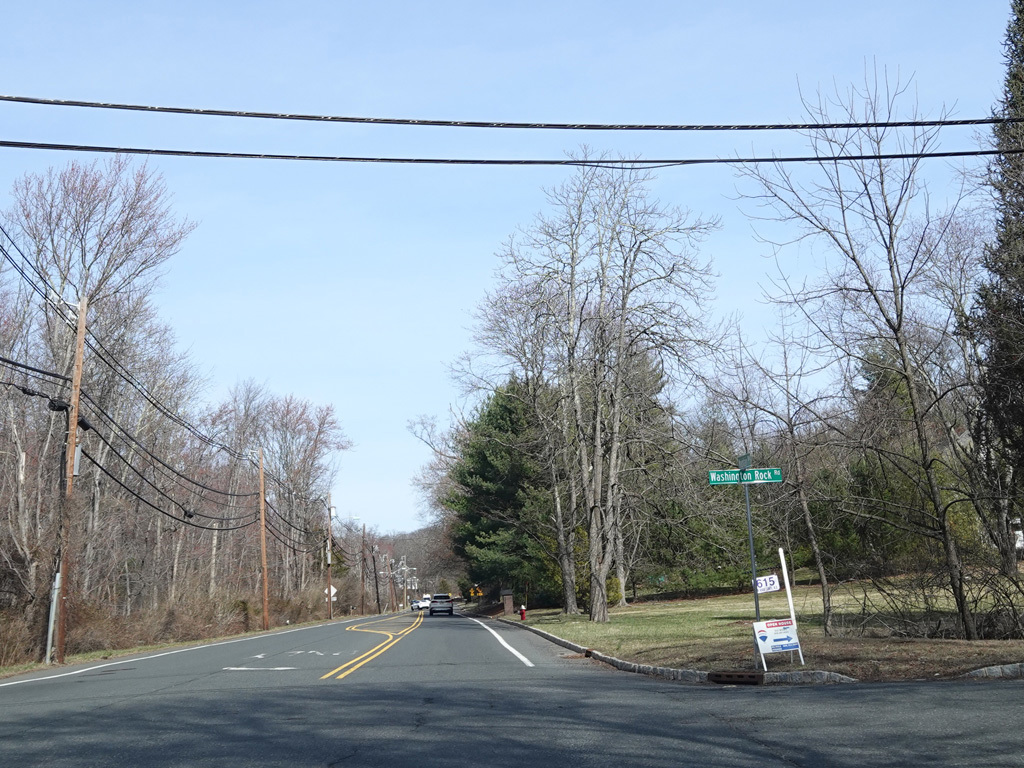
Washington Rock Road (CR 529) begins on the right. There is no county route signage at this intersection.
Photos taken March 2025.
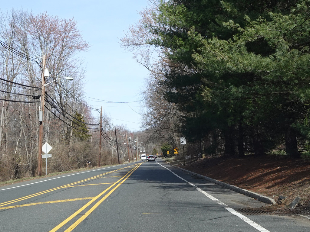
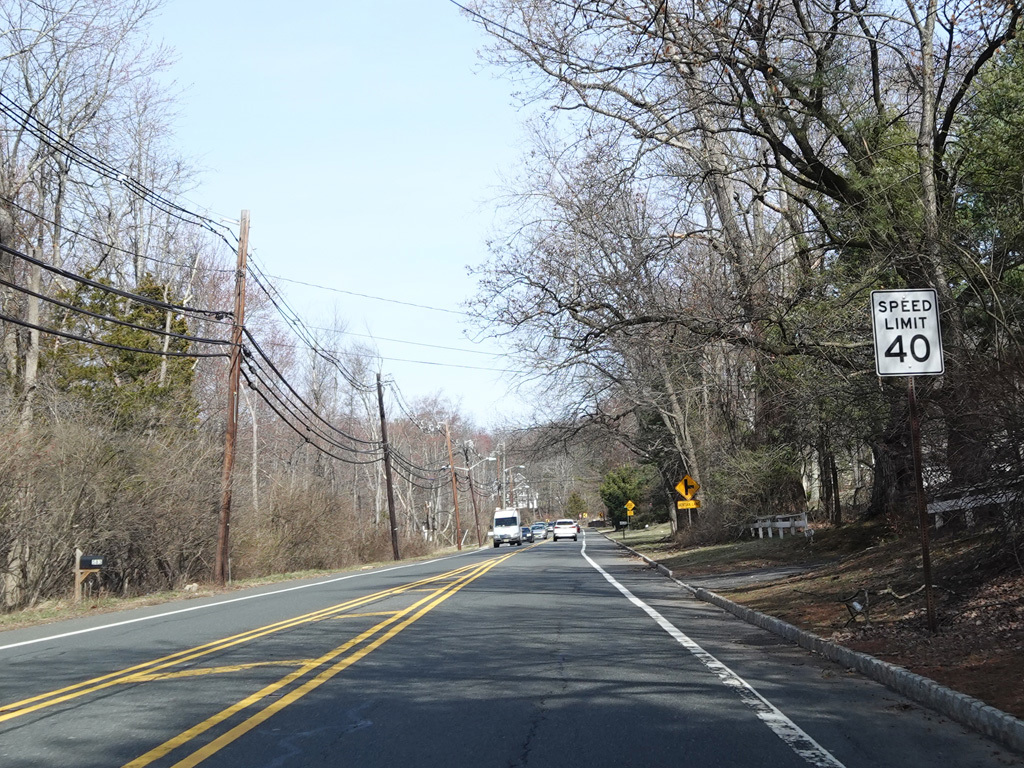
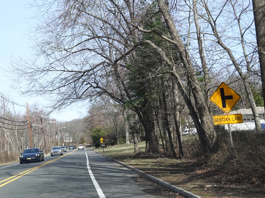
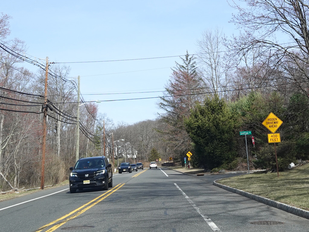
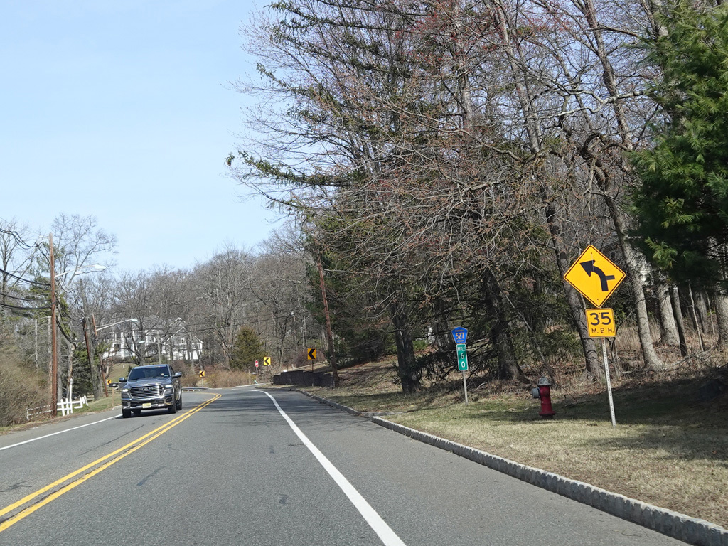
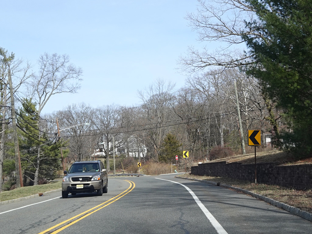
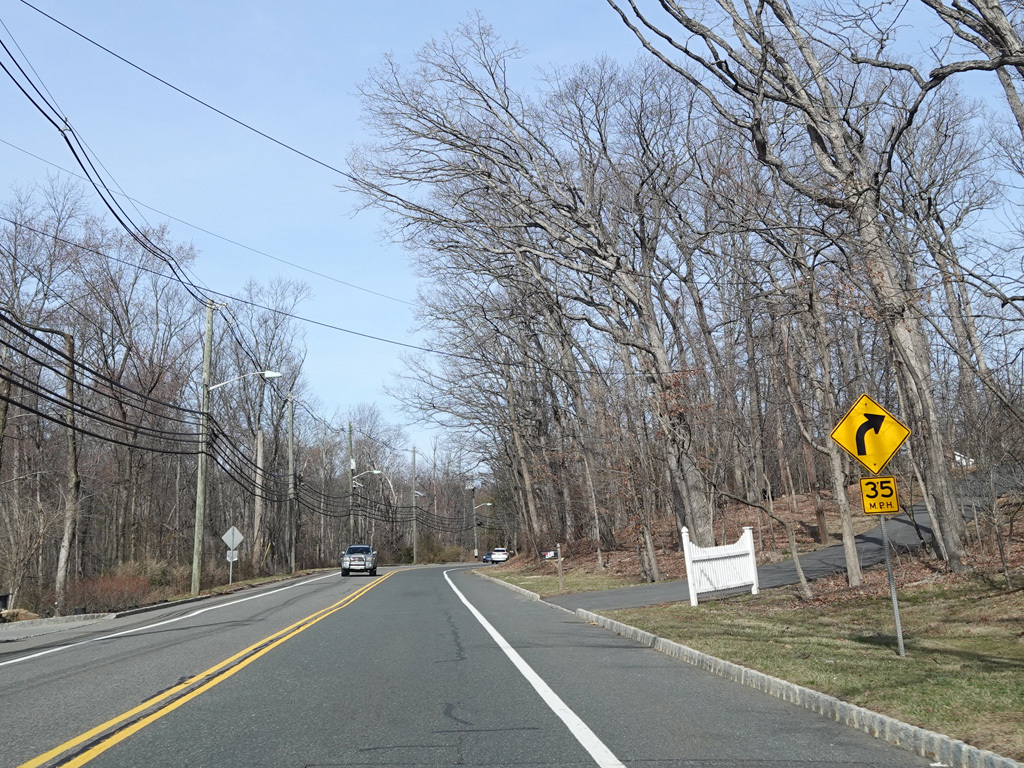
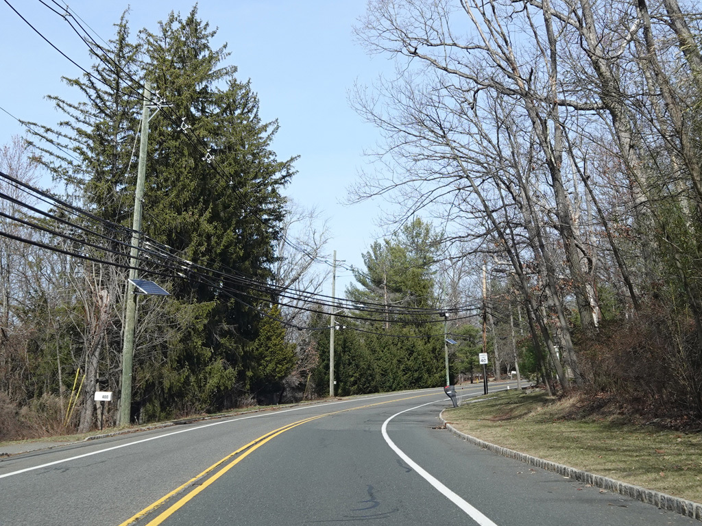
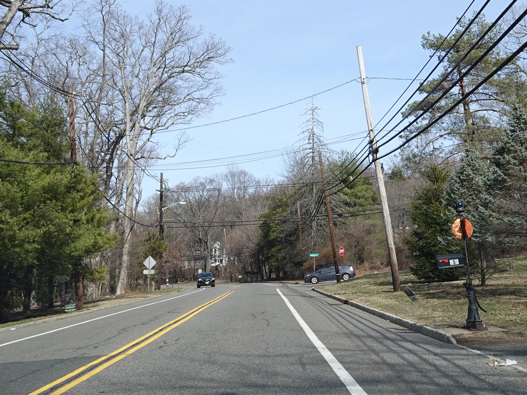
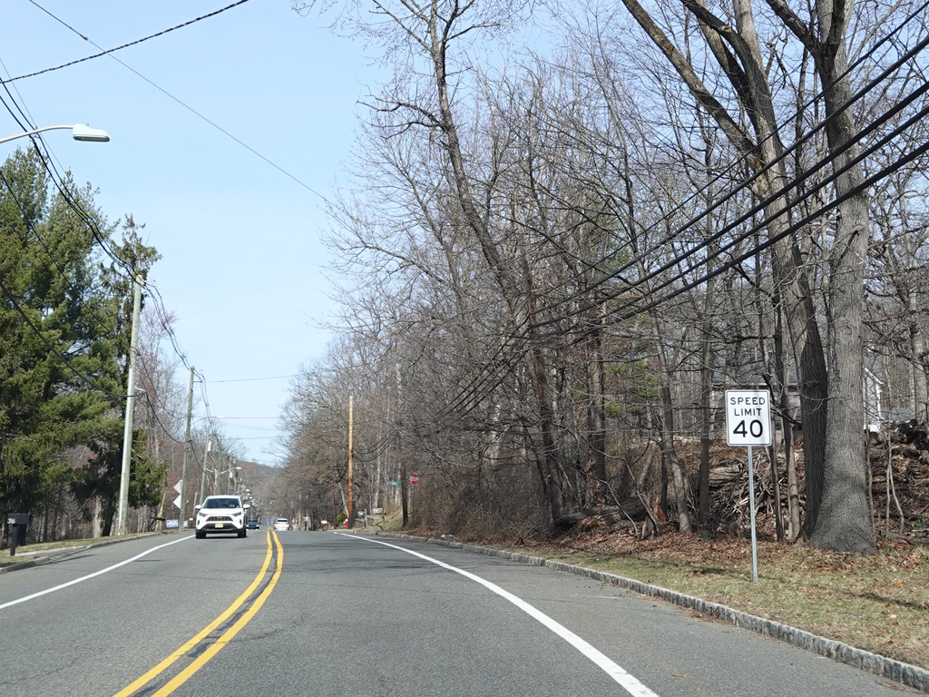
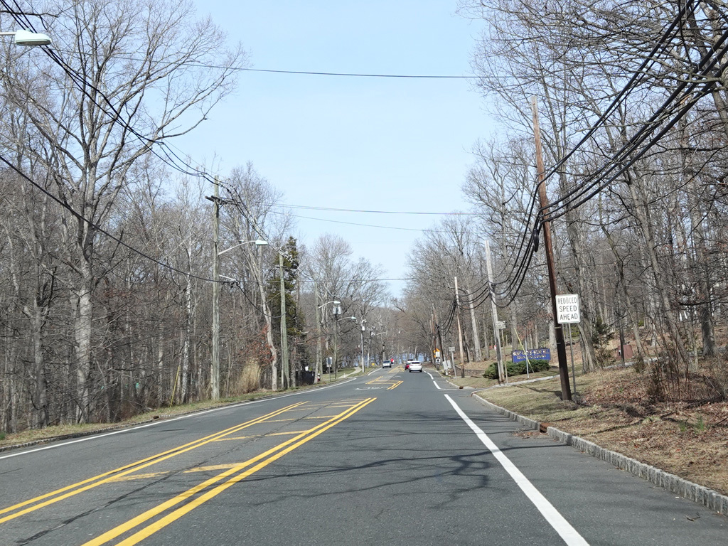
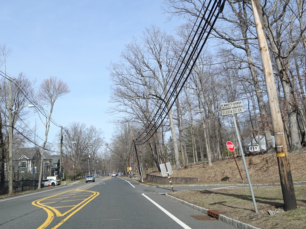
Mountain Boulevard continues to the east. Gentian Way begins on the right at an uncontrolled intersection.
Photos taken March 2025.
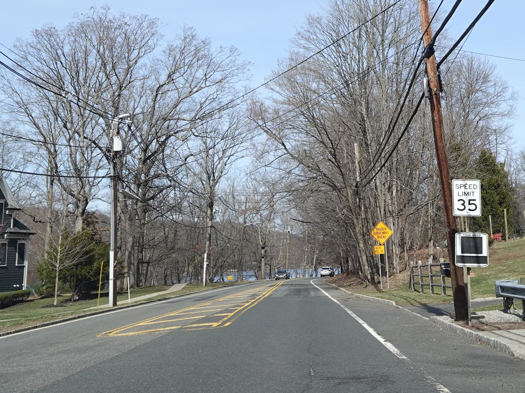
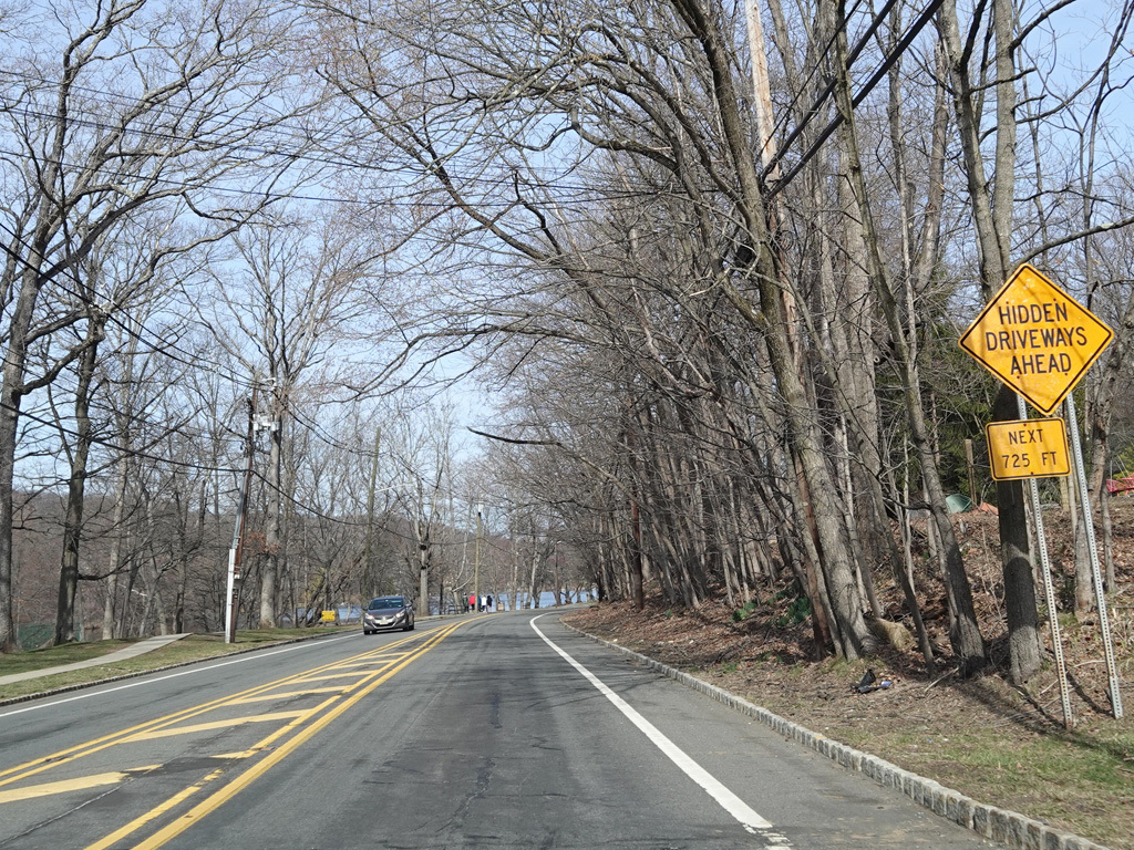
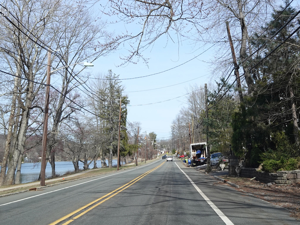
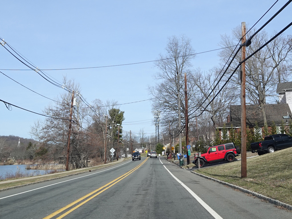
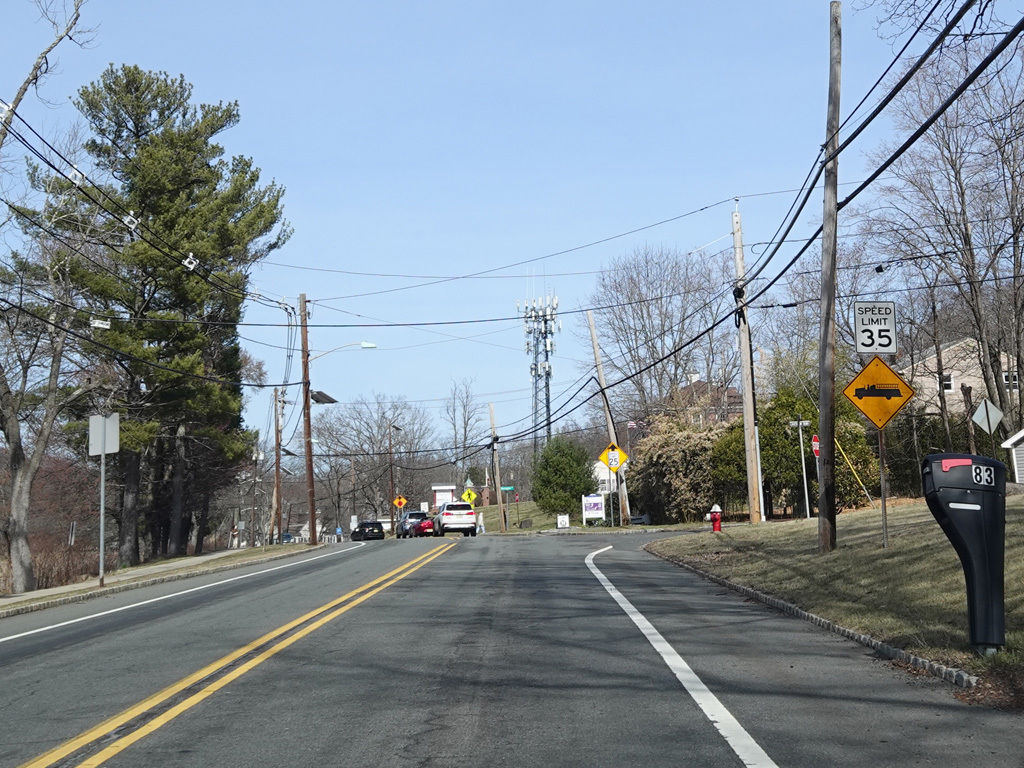
Watchung Lake is to the left along this stretch.
Photos taken March 2025.
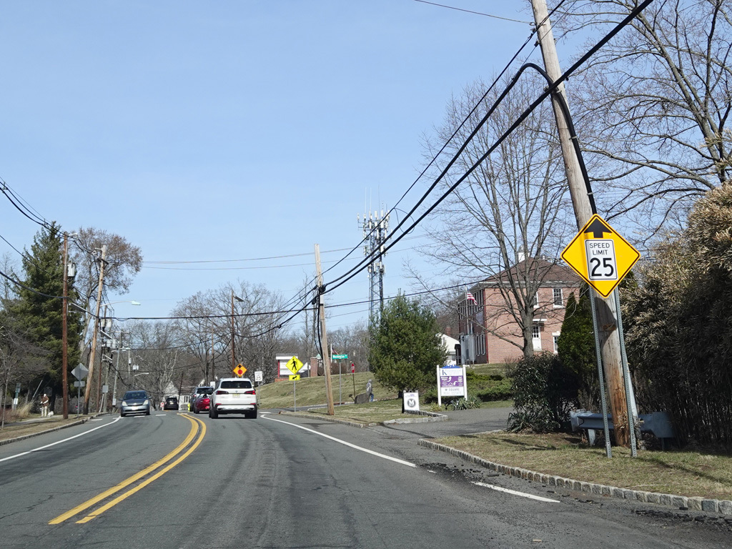
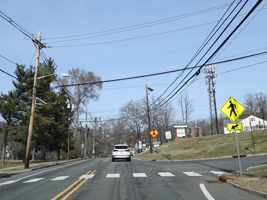
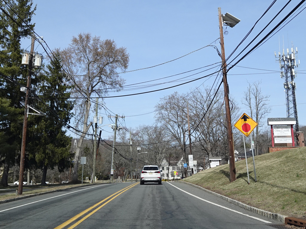
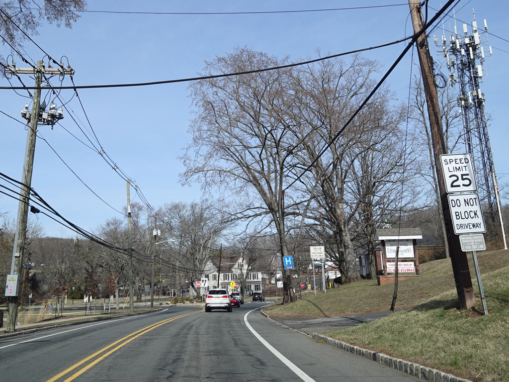
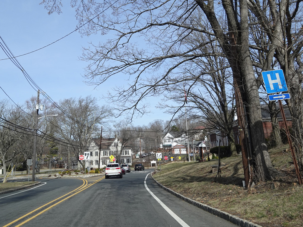
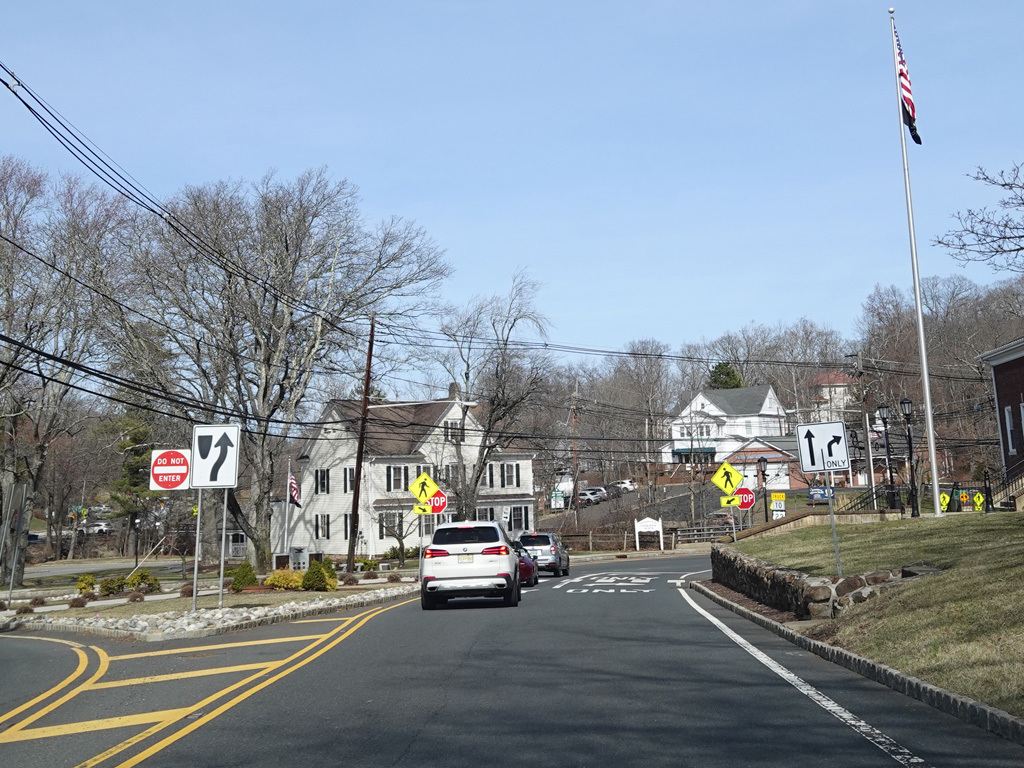
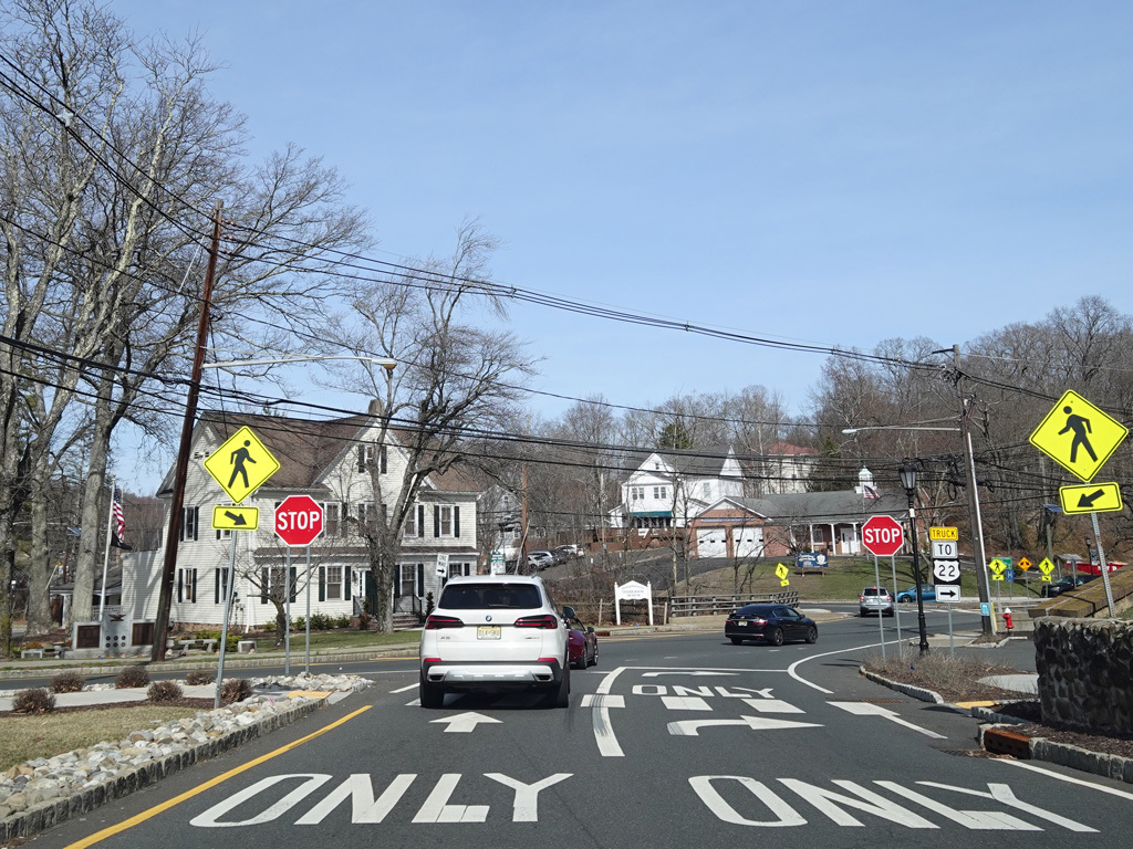
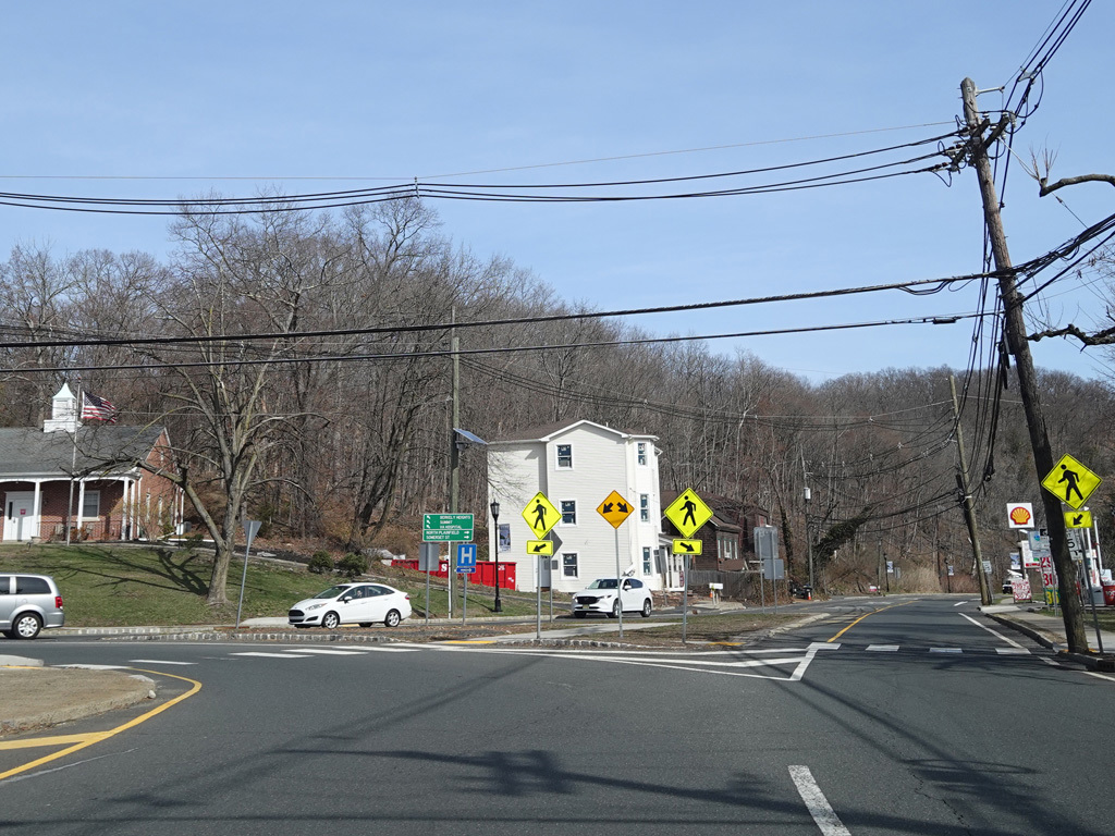
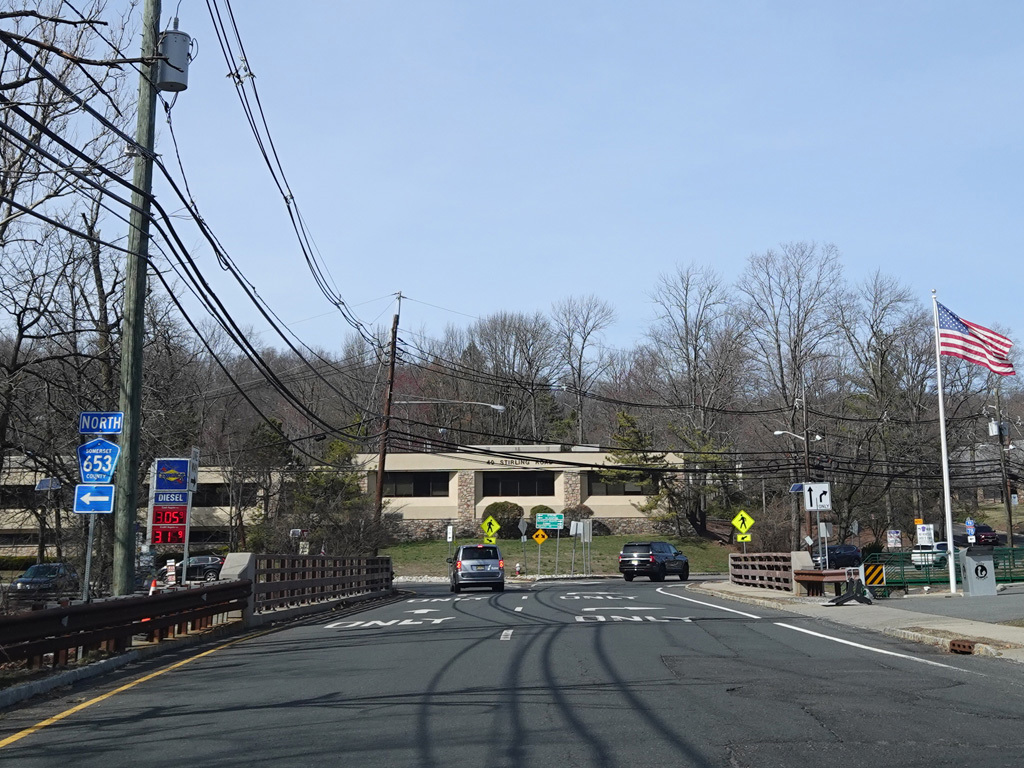
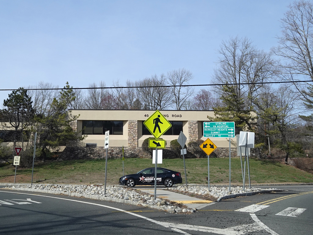
The speed limit drops to 25 MPH. Mountain Boulevard ends at a stop sign at a circular one-way roadway where CR 527 meets CR 531. In the northbound direction, both routes exit the circle at Valley Road.
Photos taken March 2025.
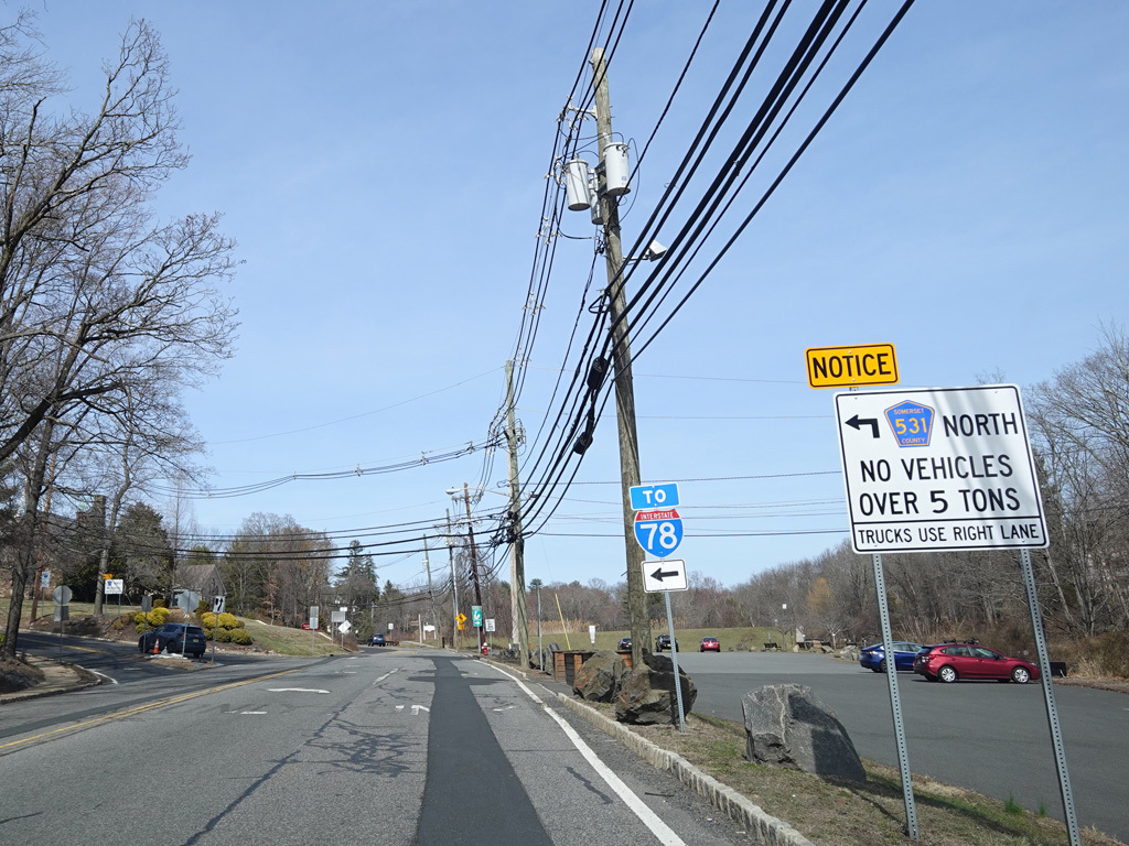
After one block, CR 531 splits off to the left onto Hillcrest Road.
Photo taken March 2025.
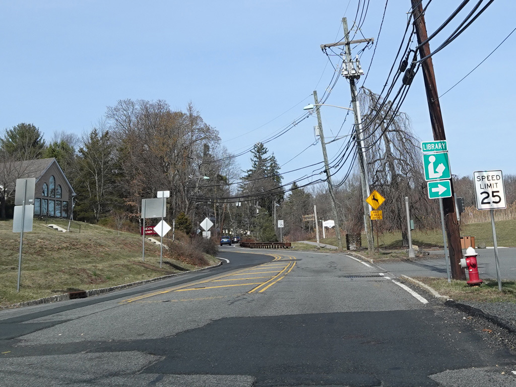
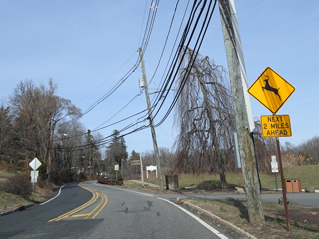
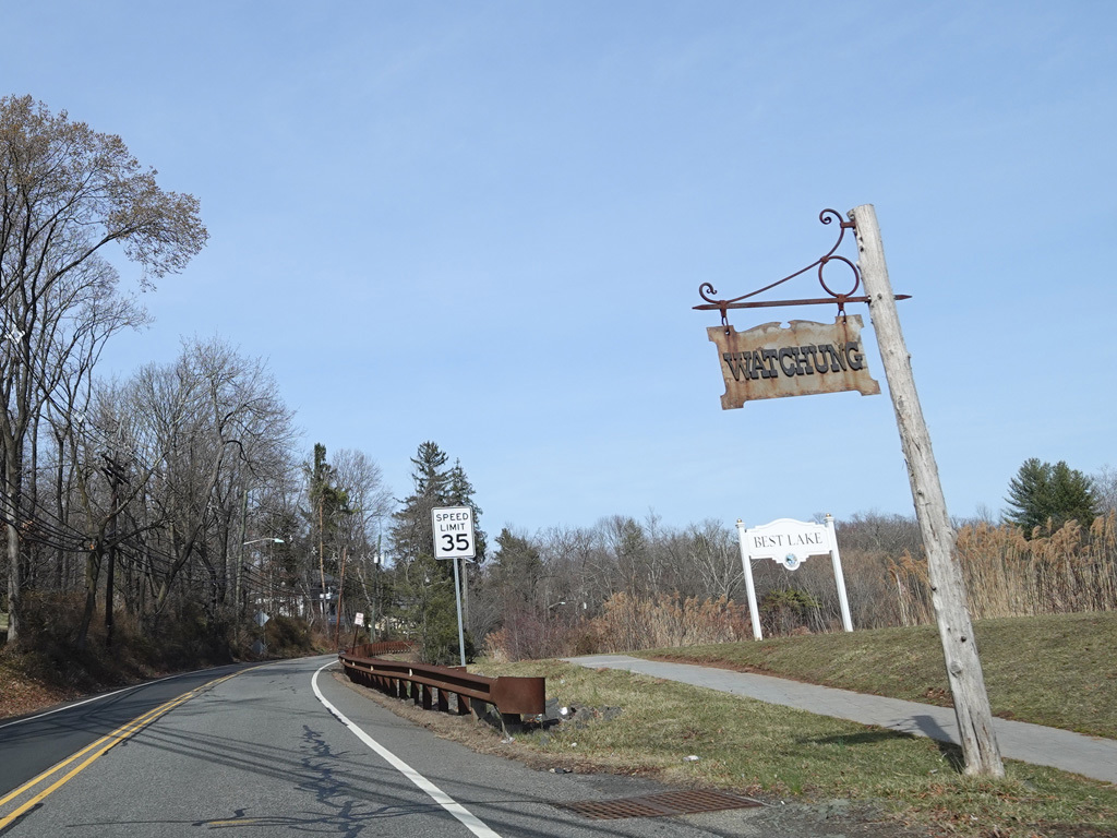
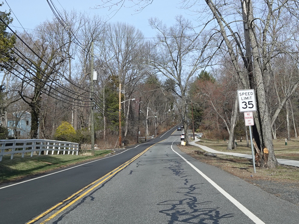
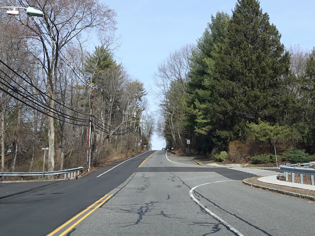
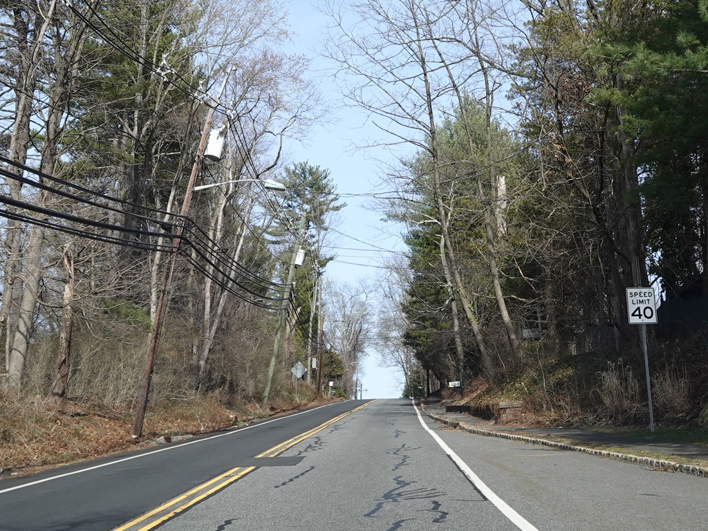
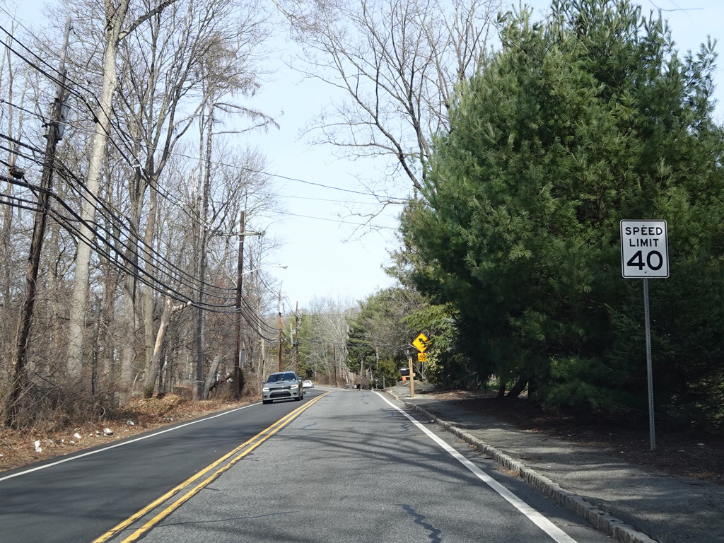
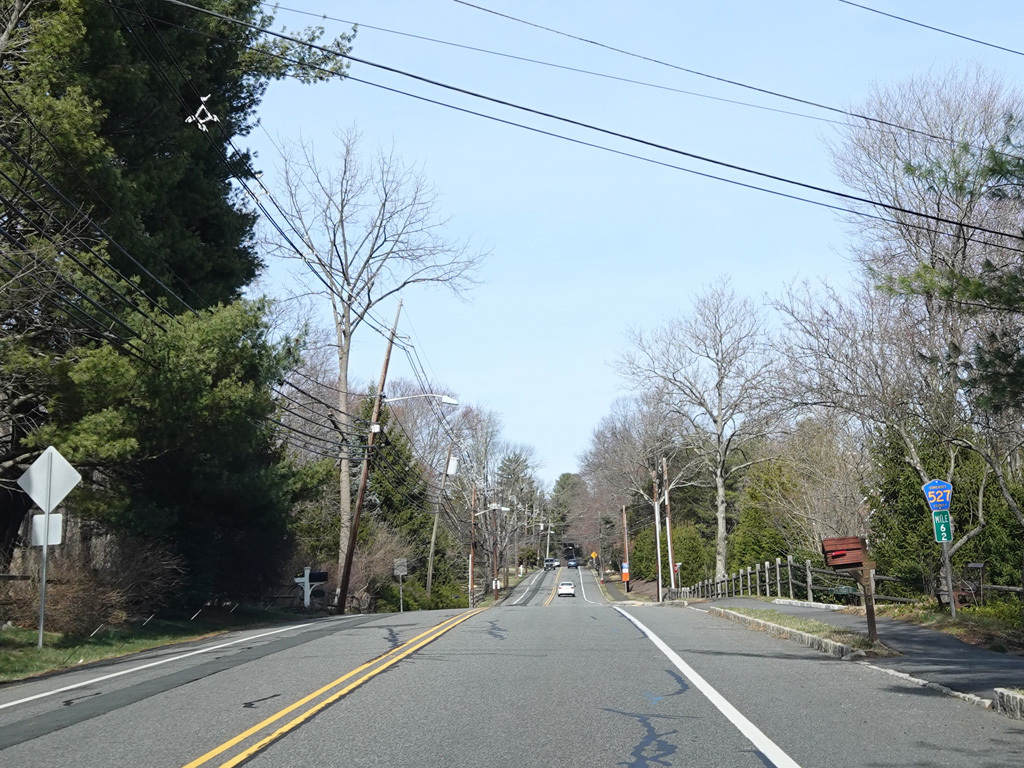
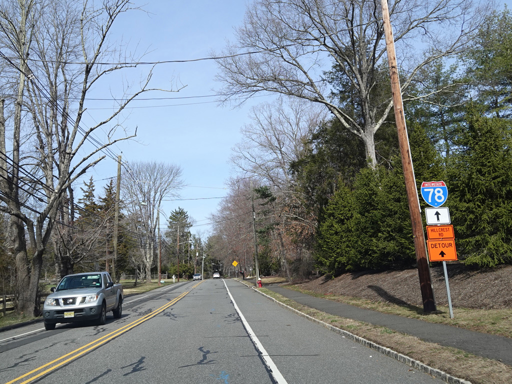
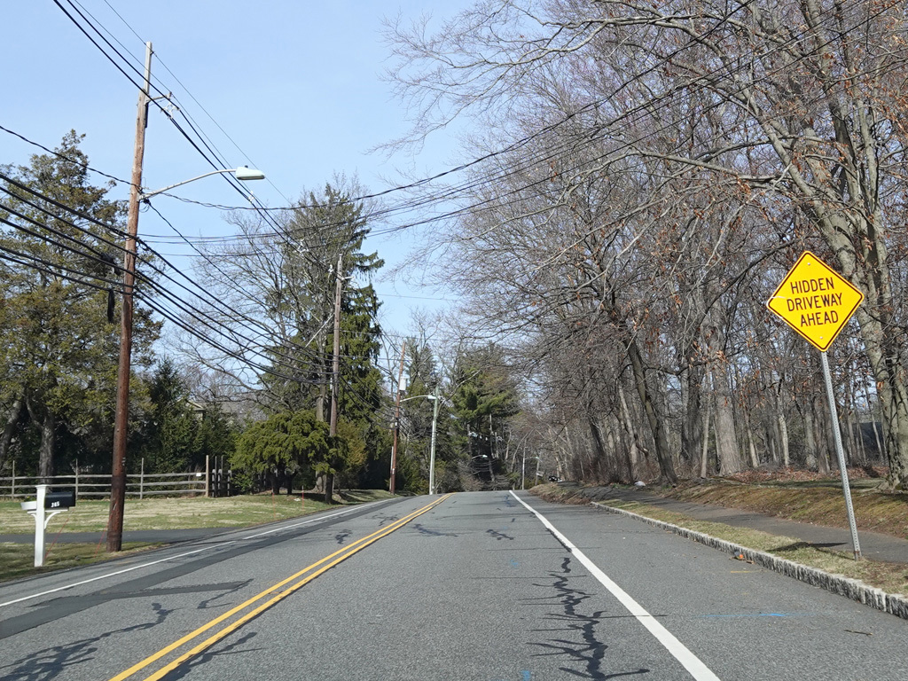
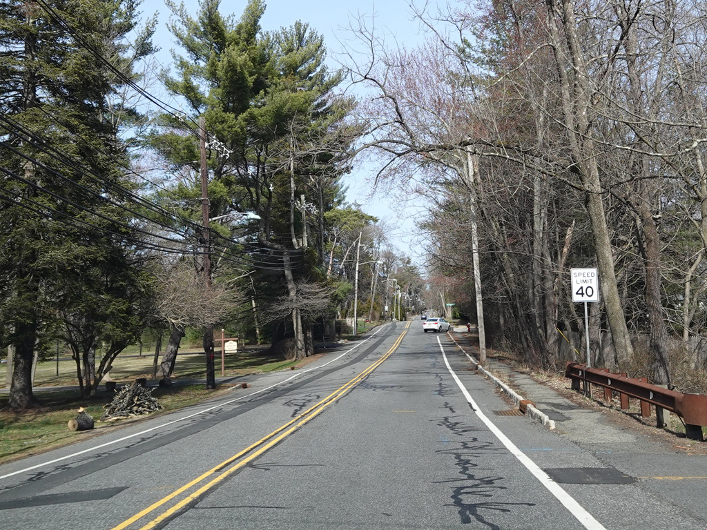
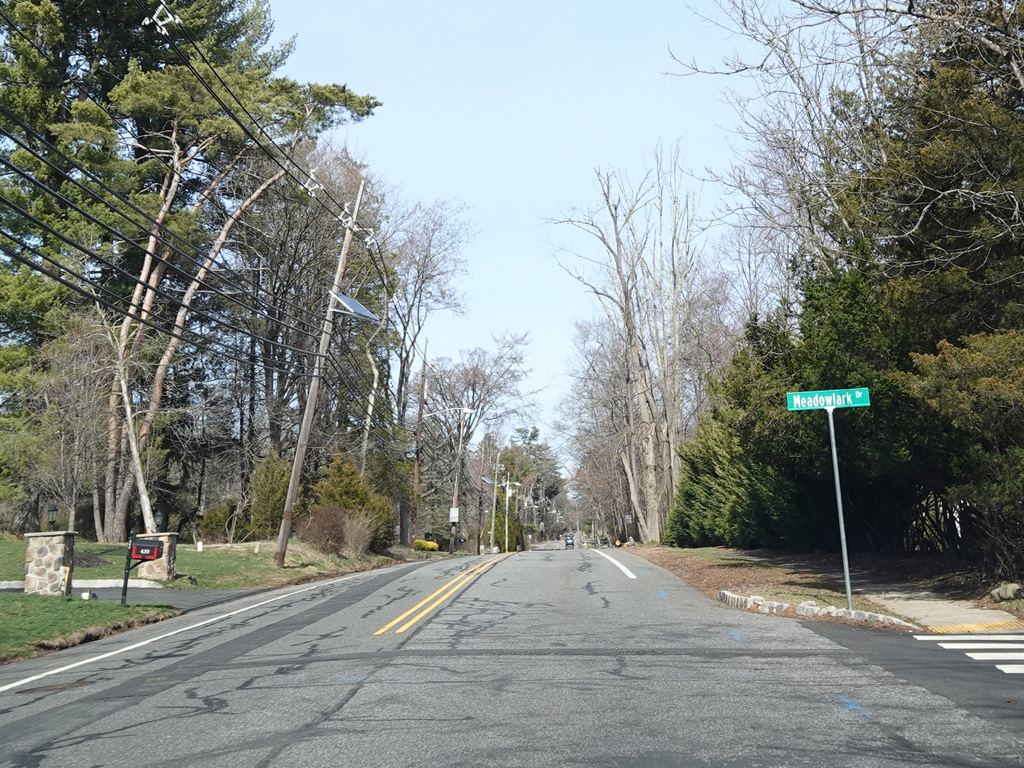
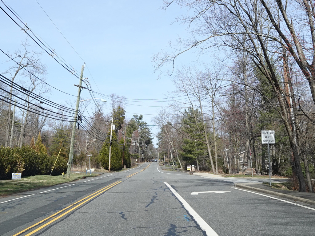
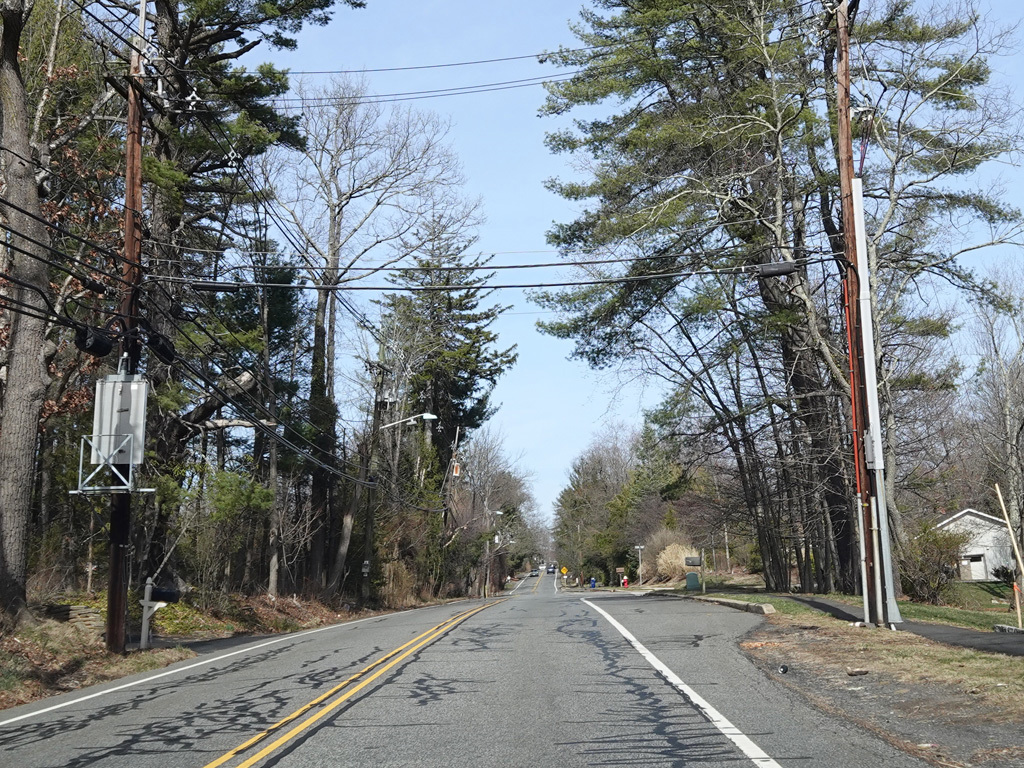
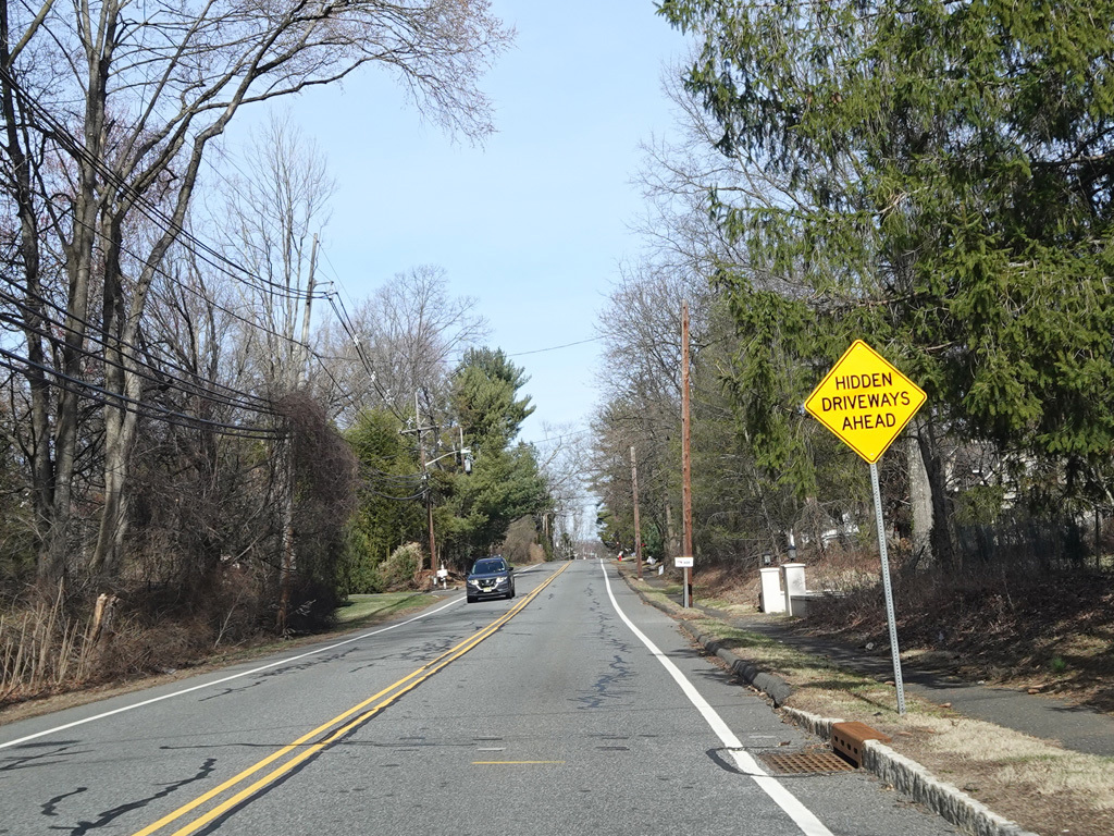
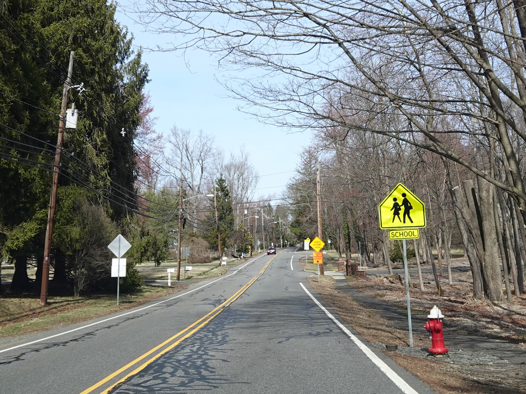
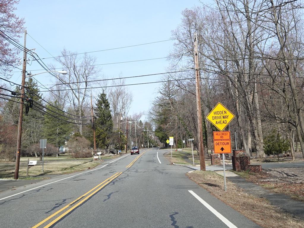
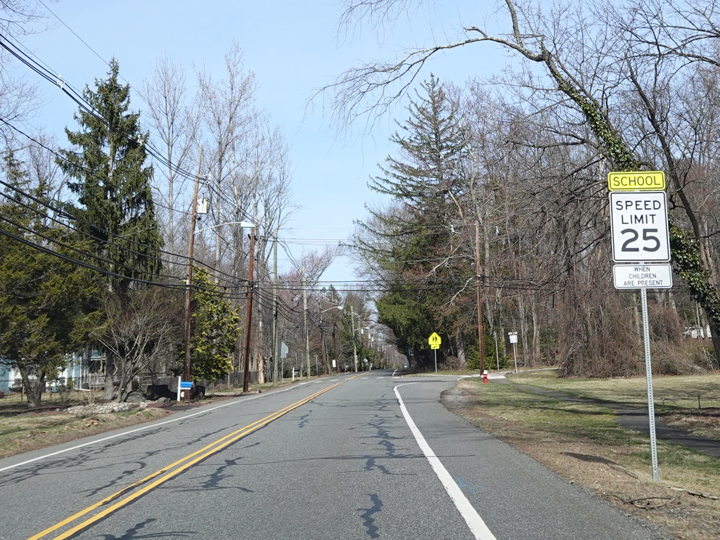
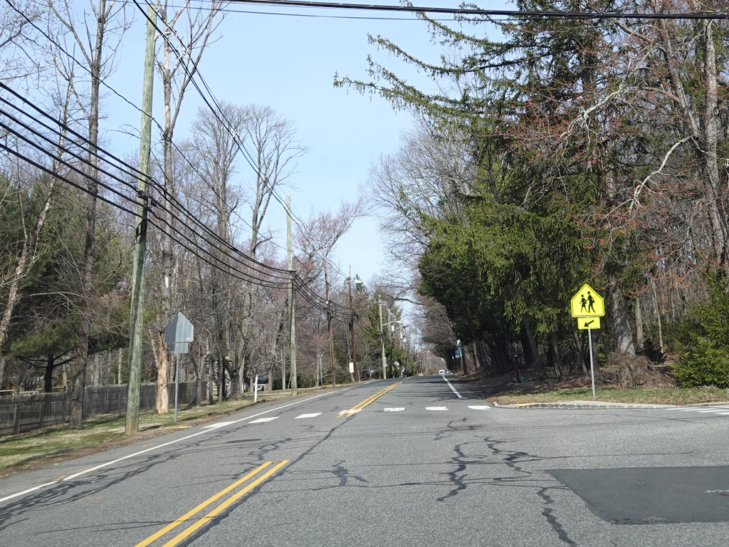
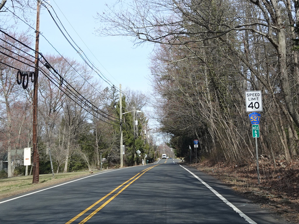
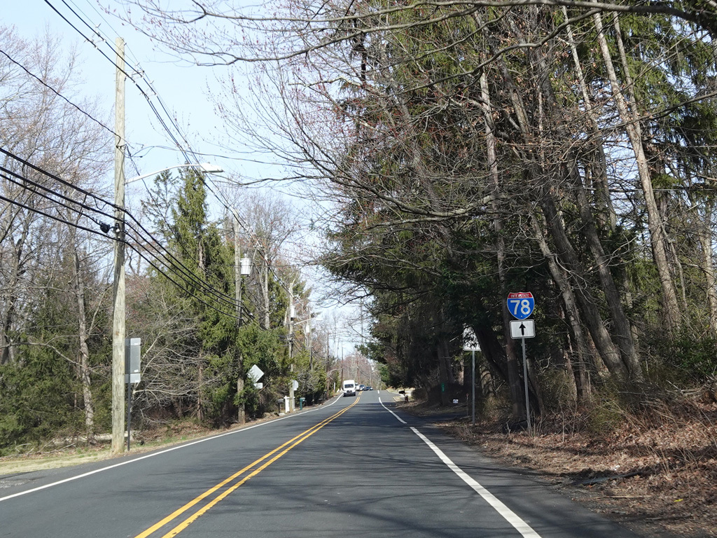
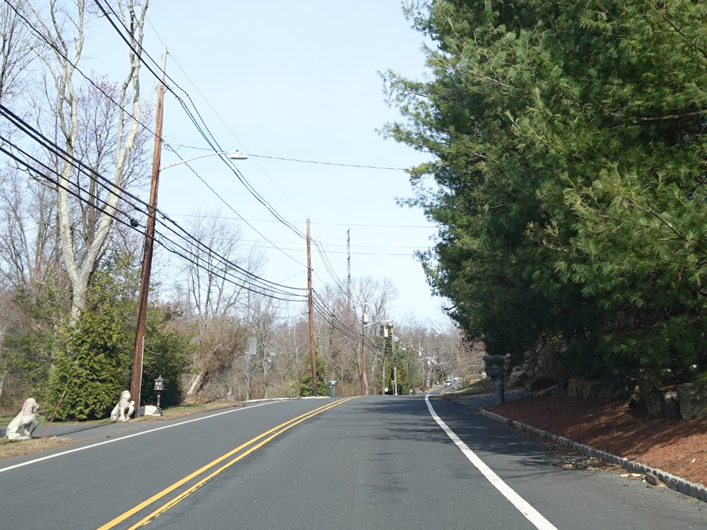
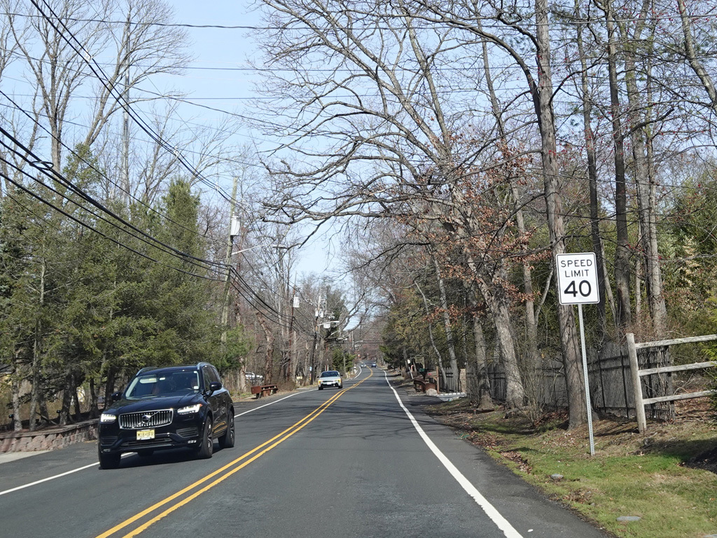
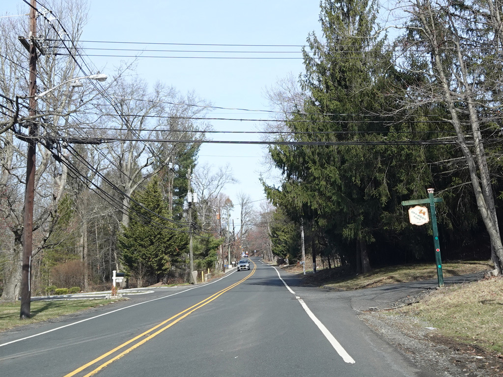
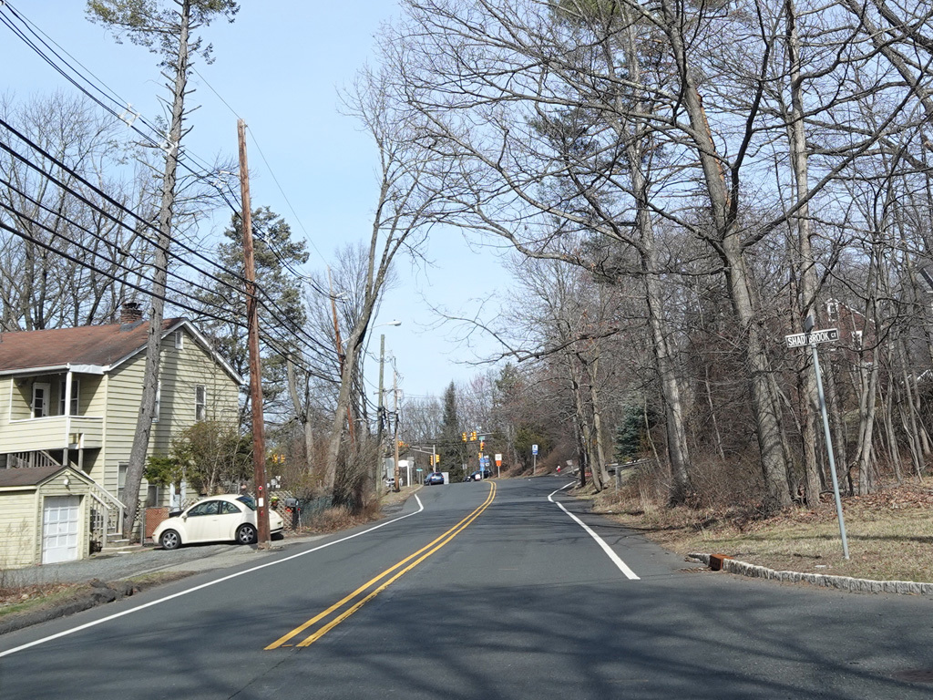
Valley Road runs east as a two-lane undivided road.
Photos taken March 2025.
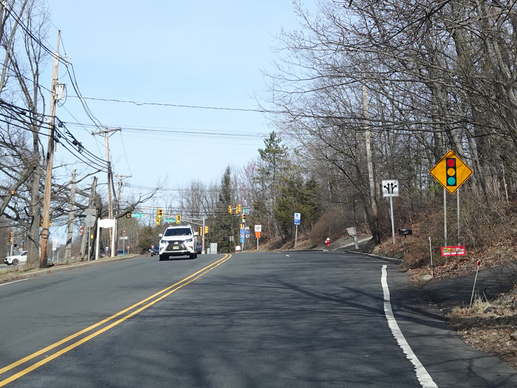
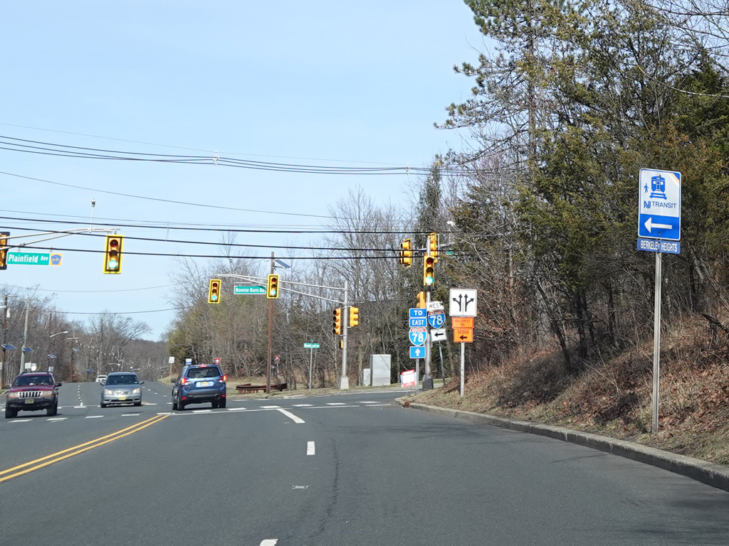
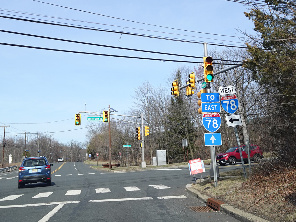
There is a traffic light at Plainfield Avenue (CR 641) and Bonnie Burn Road.
Photos taken March 2025.
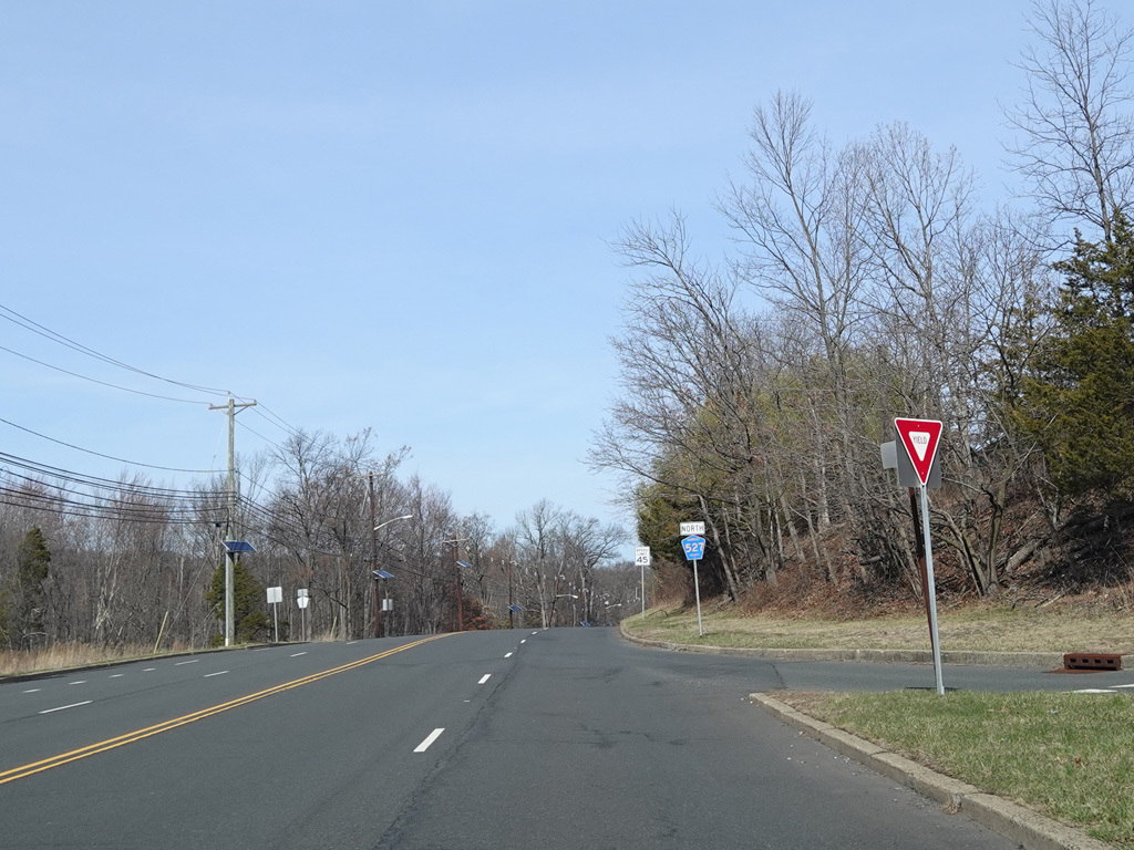
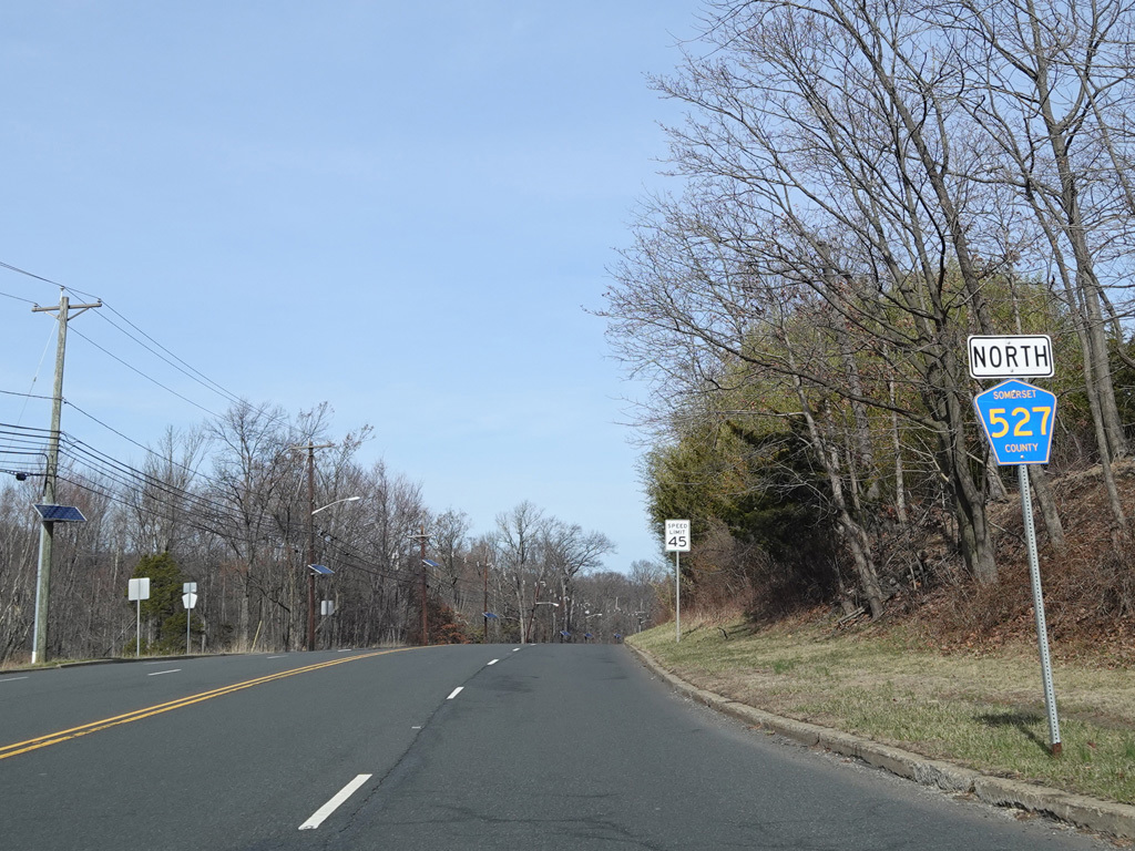
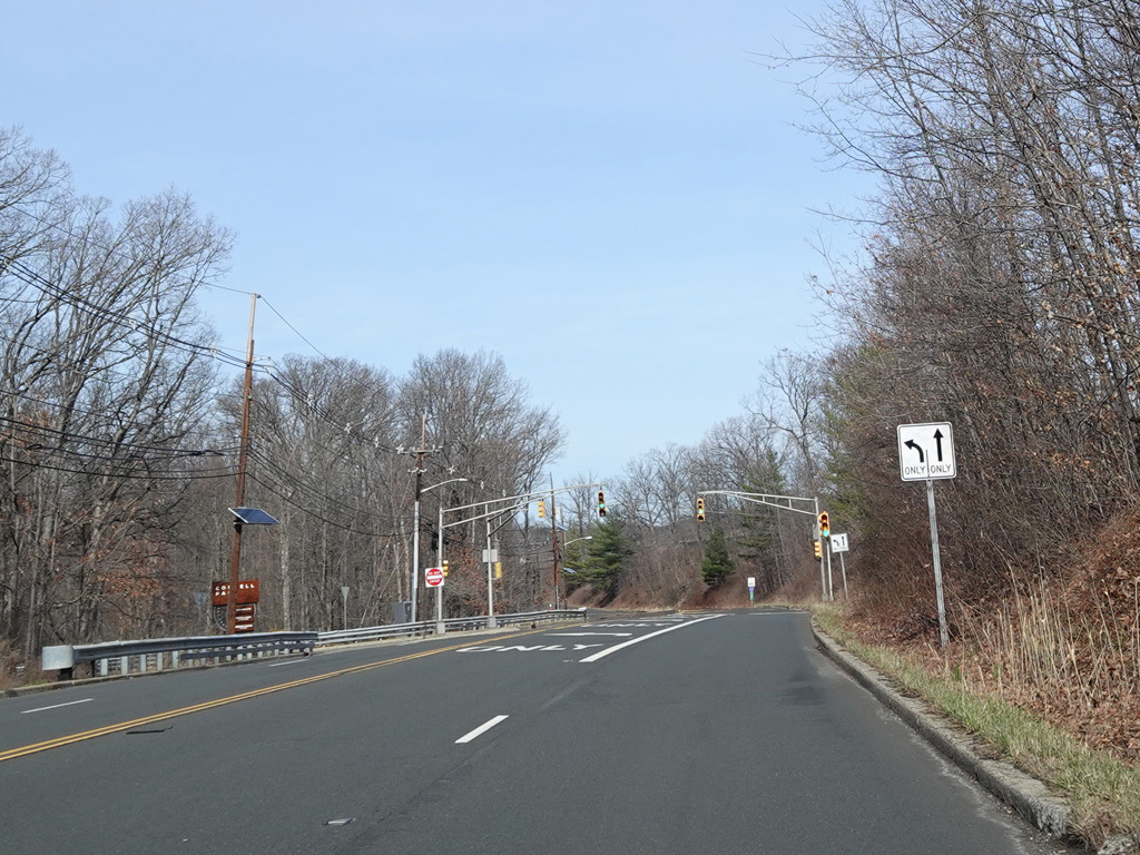
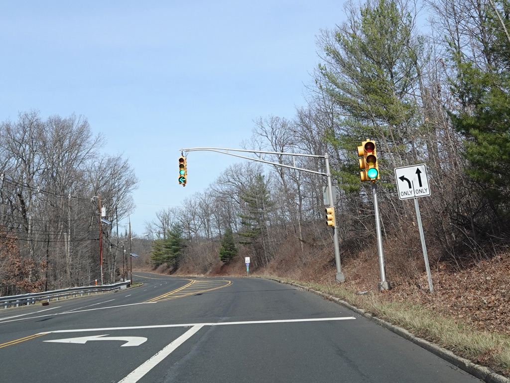
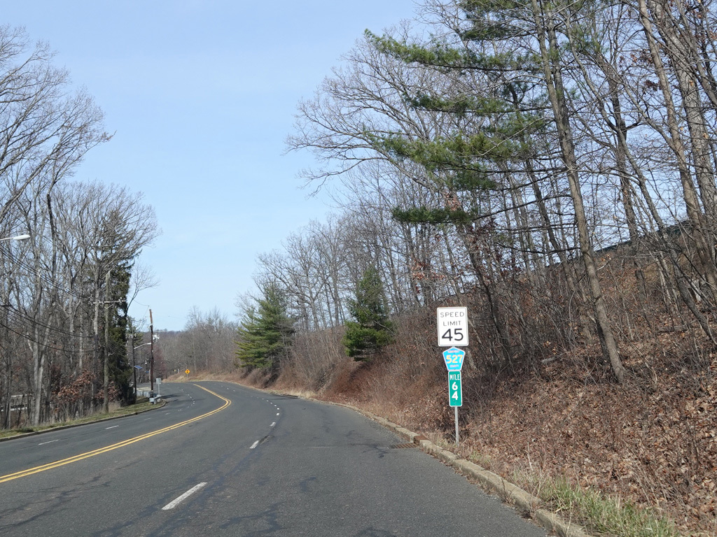
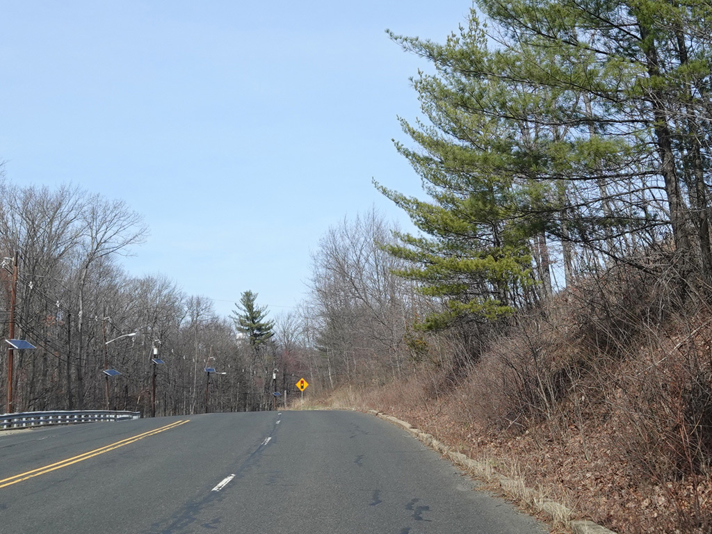
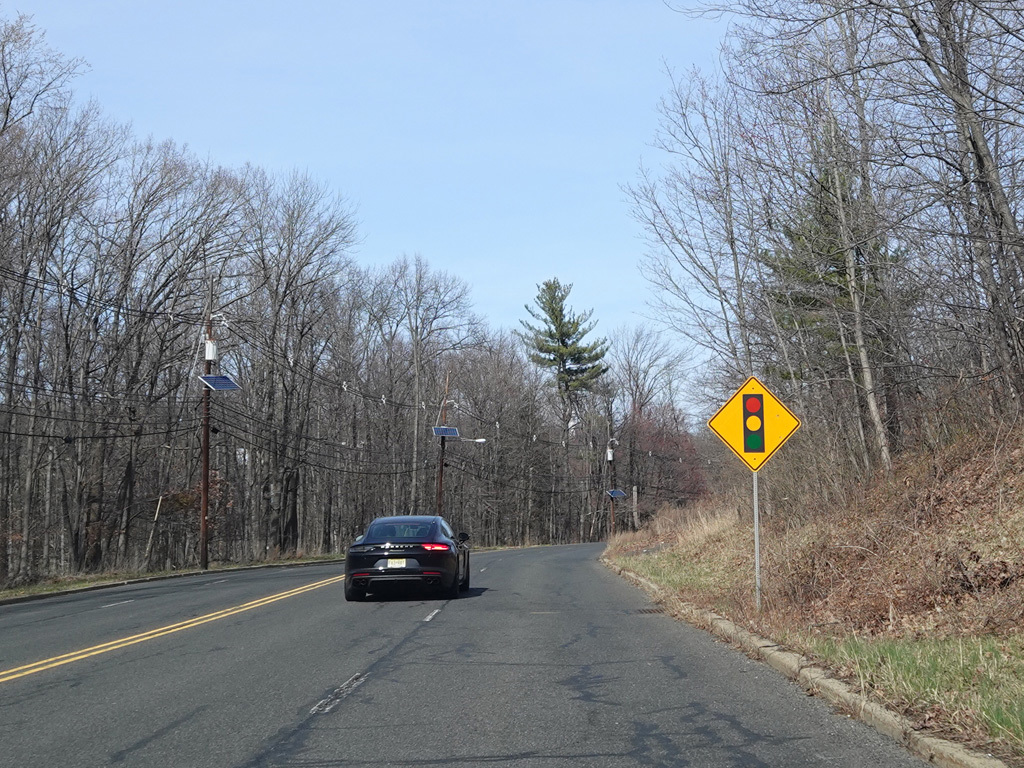
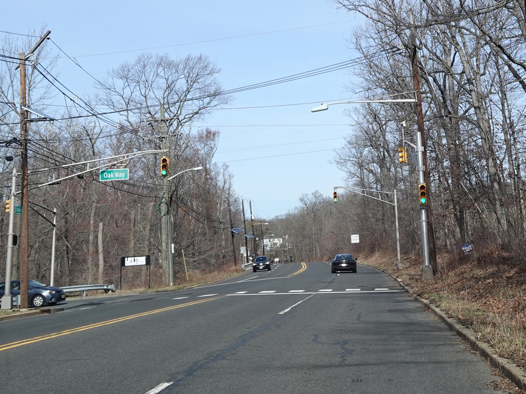
Valley Road widens to four lanes. There is a traffic light at Oak Way.
Photos taken March 2025.