Montauk Highway
Westbound Views
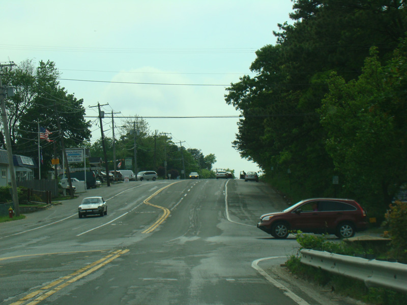

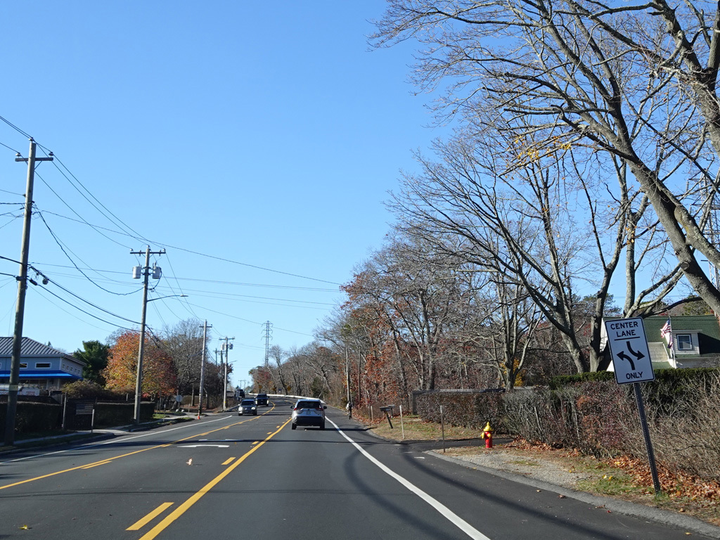
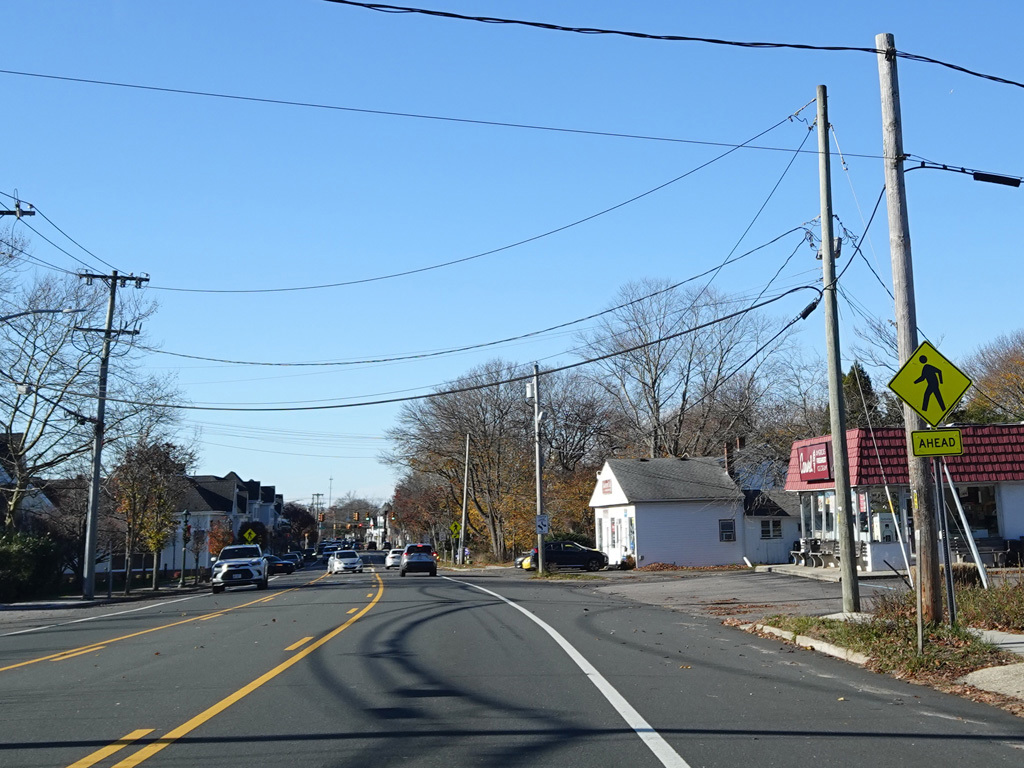
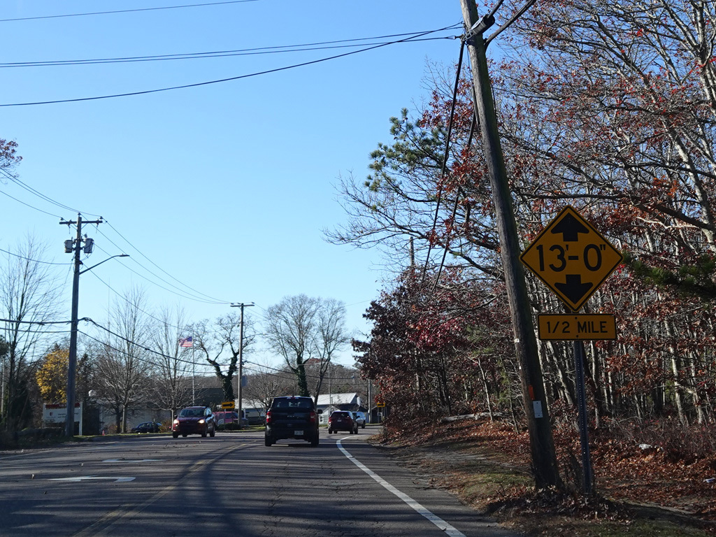
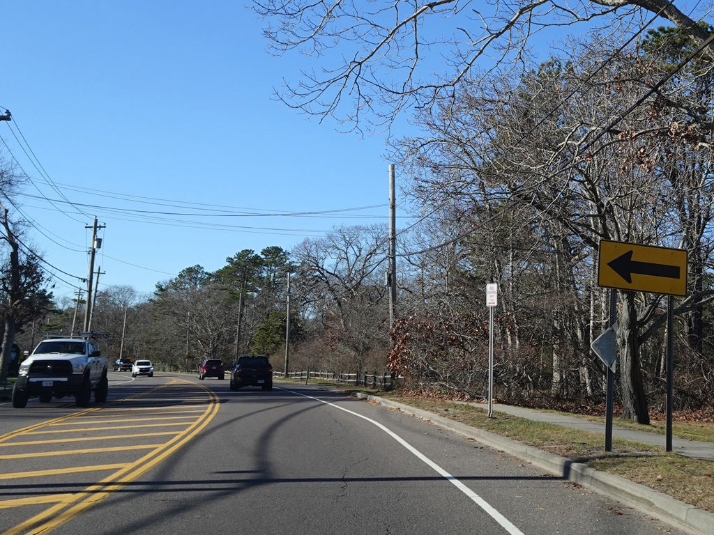
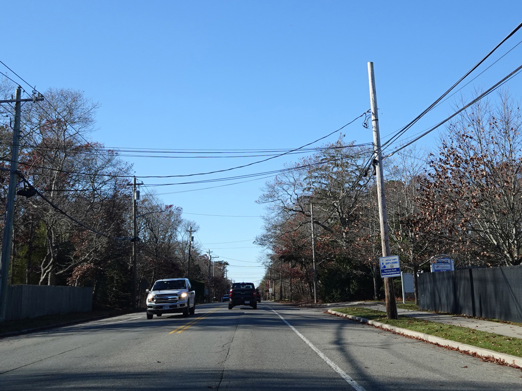
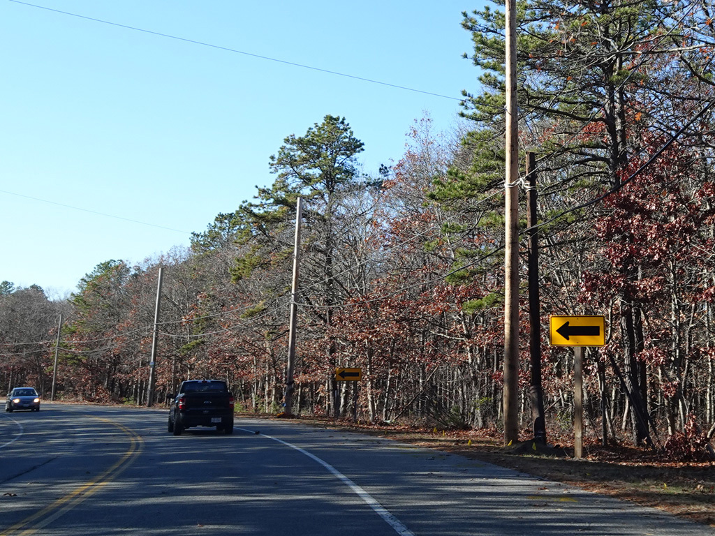
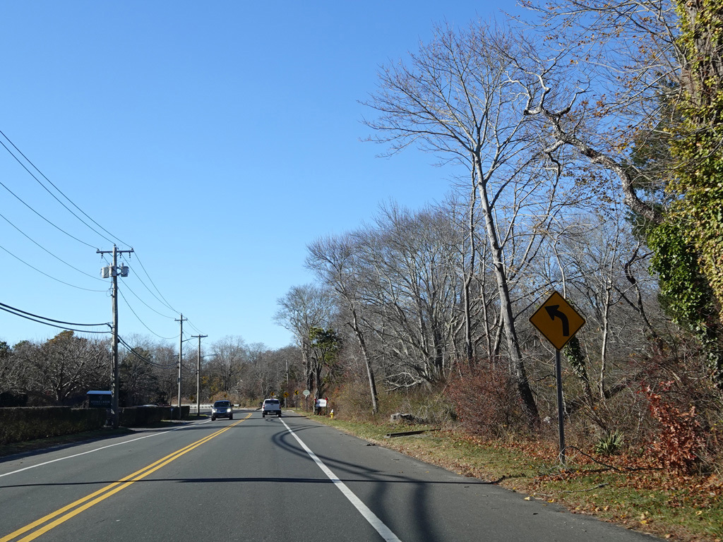
Montauk Highway changes designation from unsigned NY 27A to CR 80 at an uncontrolled intersection with Knoll Road. It runs west as a two-lane undivided road. Shinnecock Bay is on the left.
Photos taken November 2025.
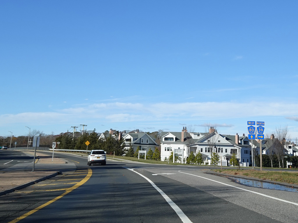
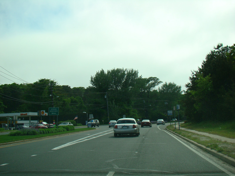
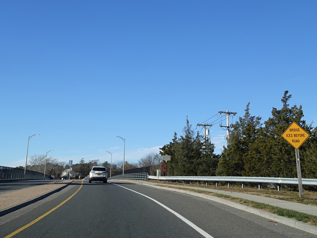
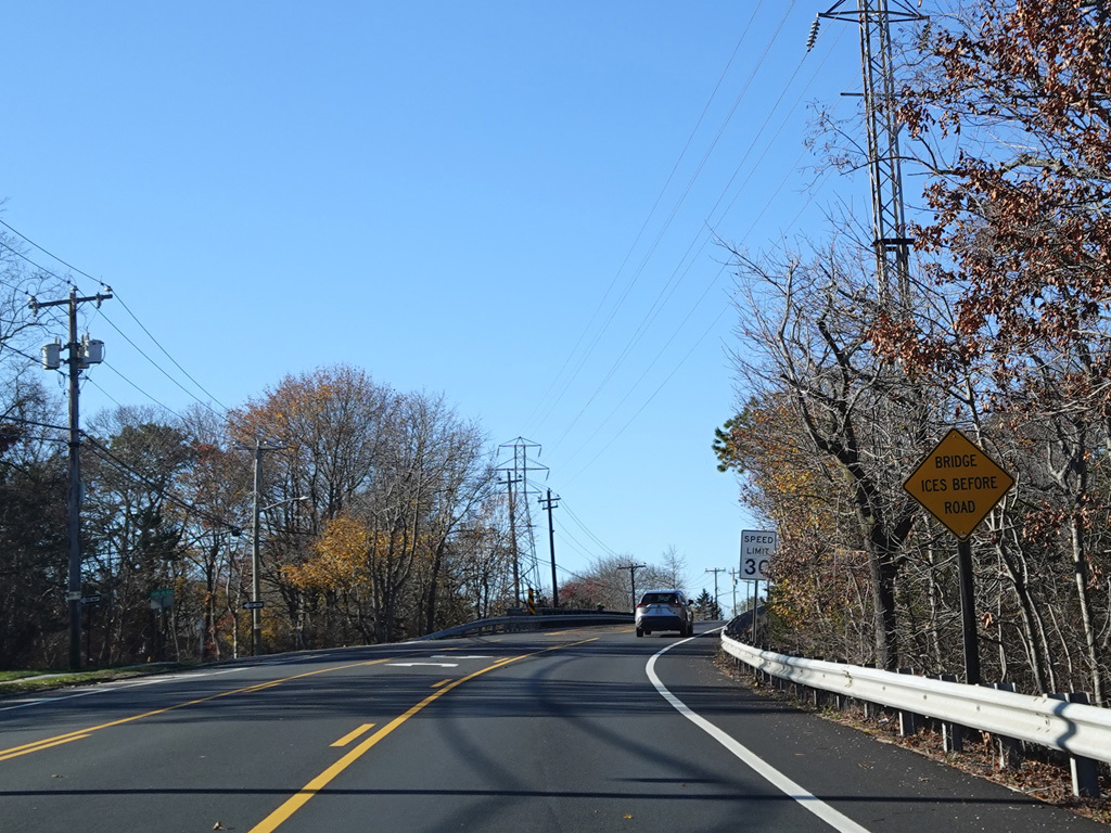
Montauk Highway widens to become a divided highway in the area of the Shinnecock Canal. North Road (CR 39) begins on the right.
Photos taken November 2025.
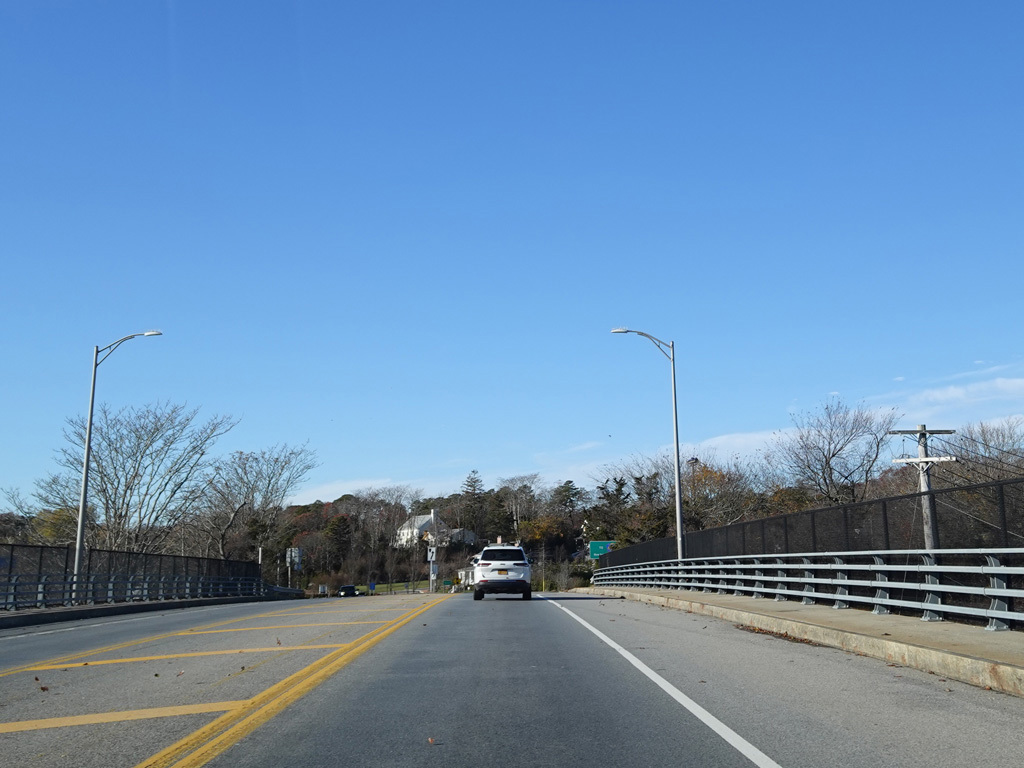
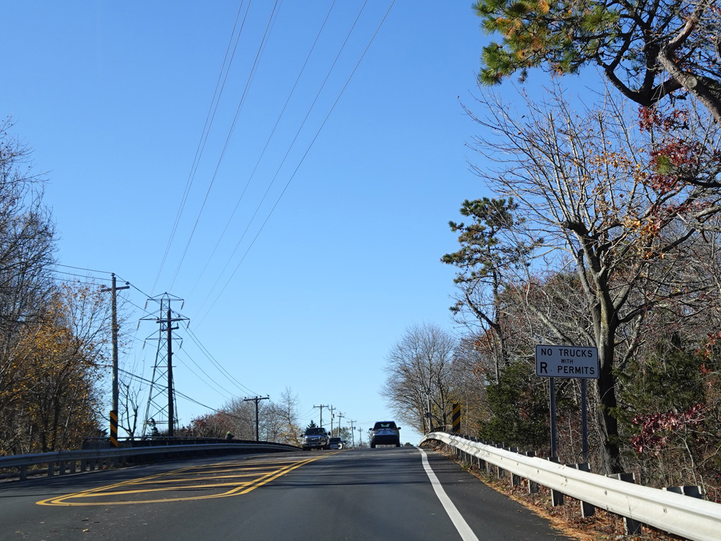
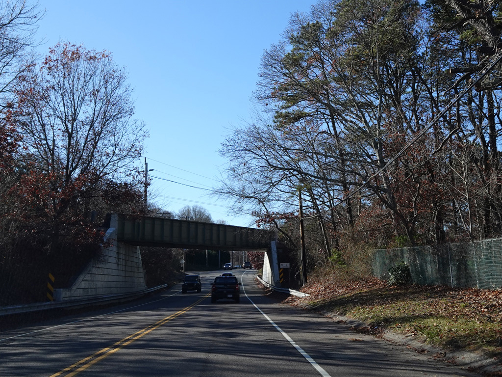
There is a small bridge over the Shinnecock Canal.
Photos taken November 2025.
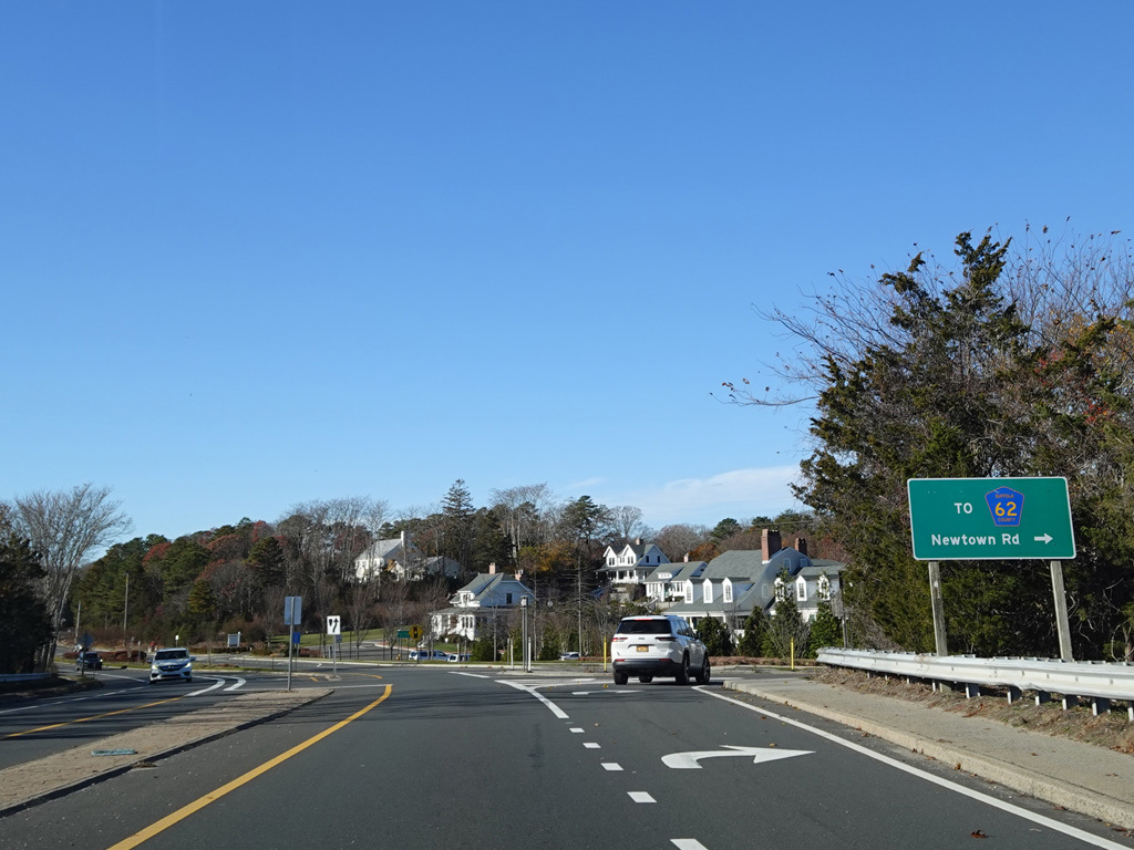
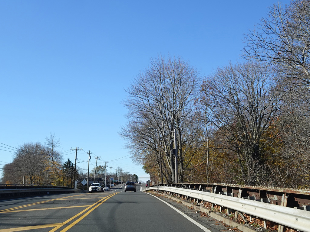
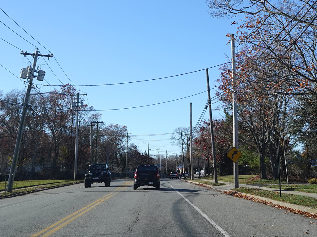
On the other side of the bridge, Newtown Road (CR 62) begins on the right.
Photo taken November 2025.
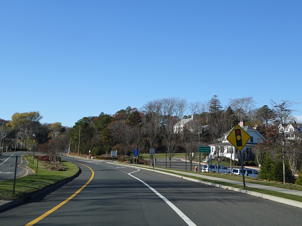
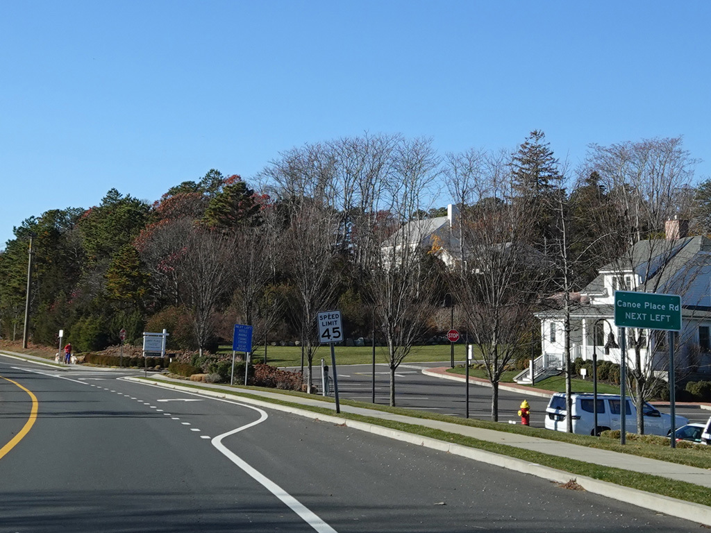
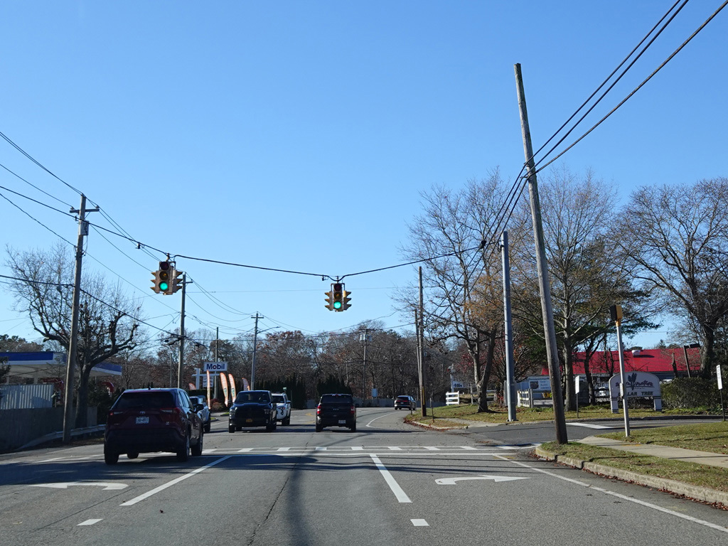
Canoe Place Road begins on the left at a traffic light.
Photos taken November 2025.
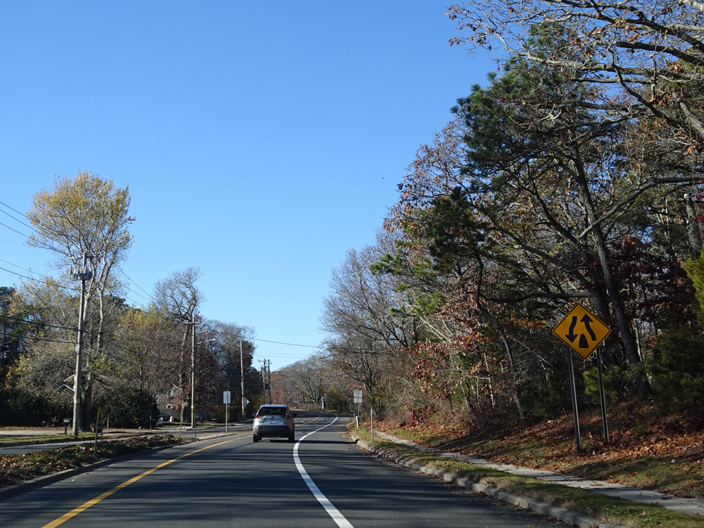

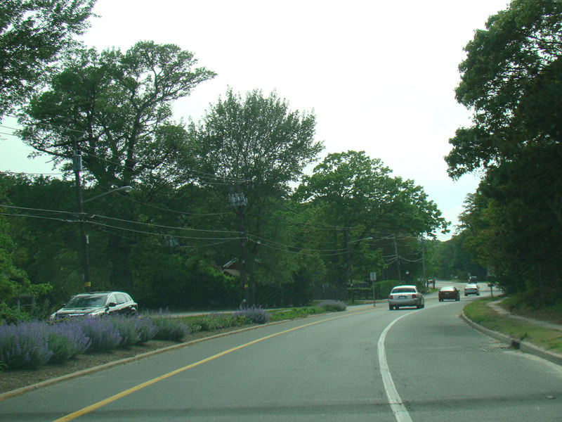
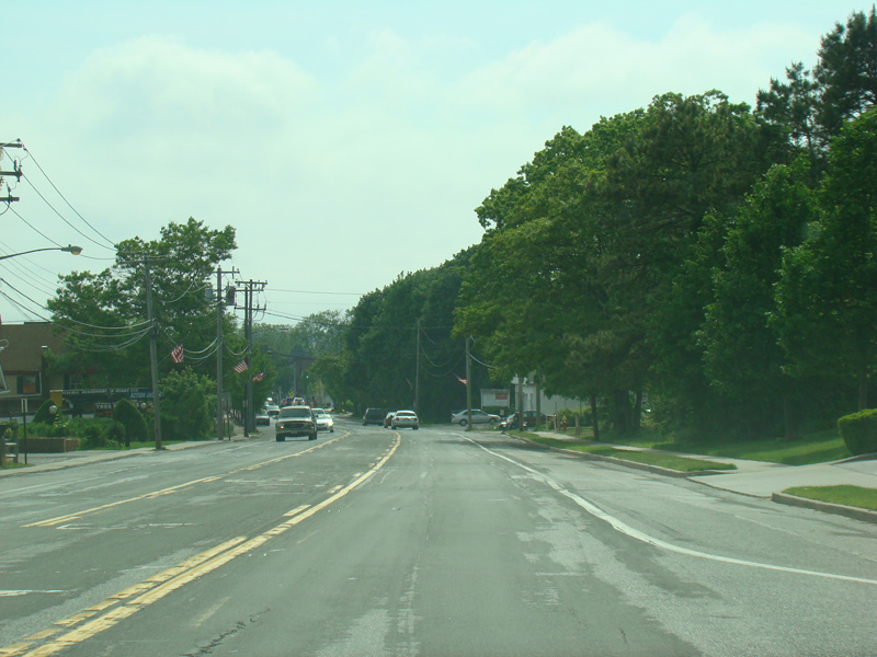
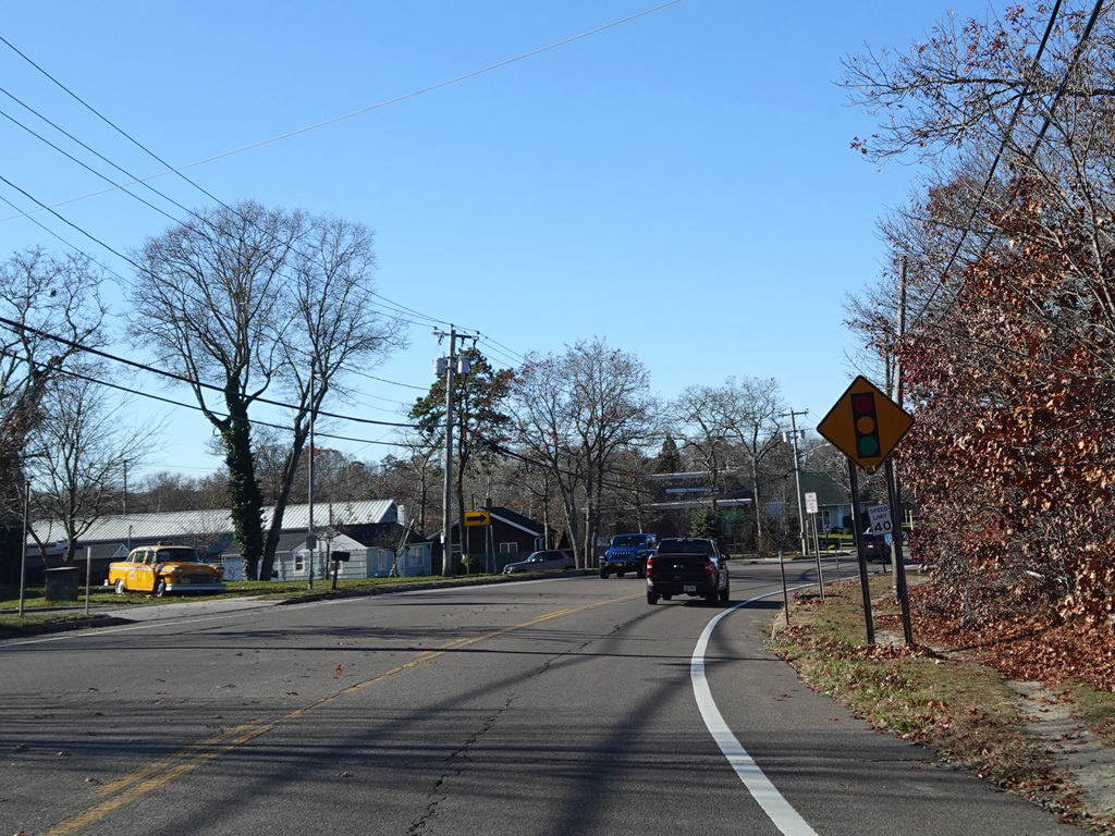
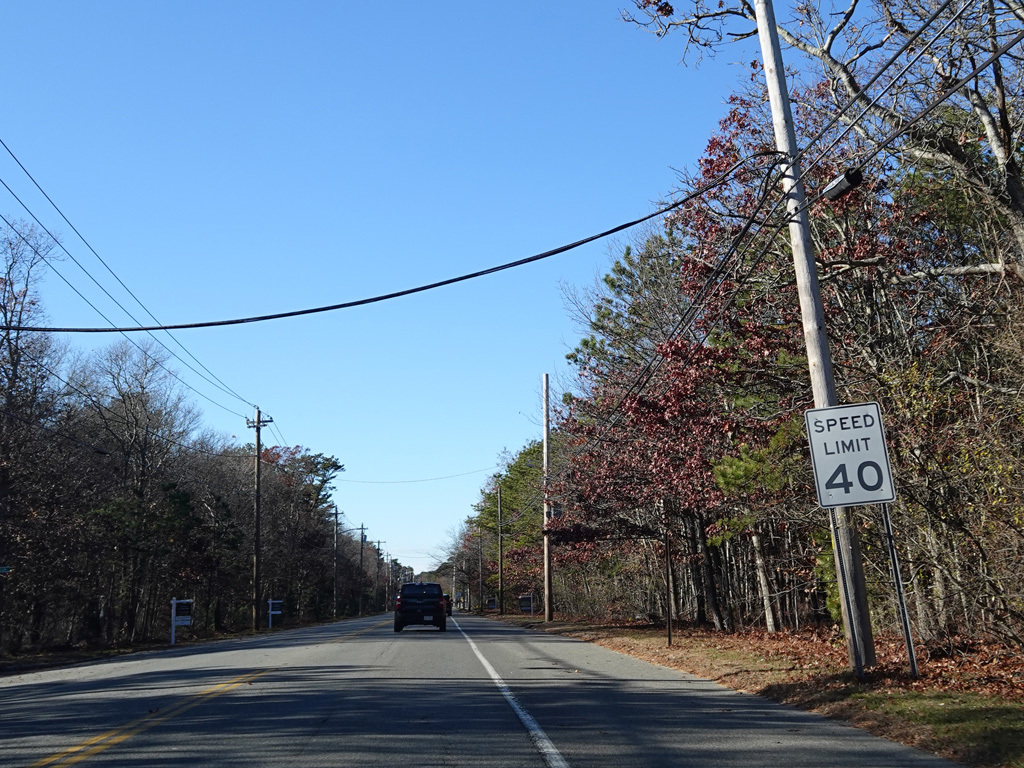
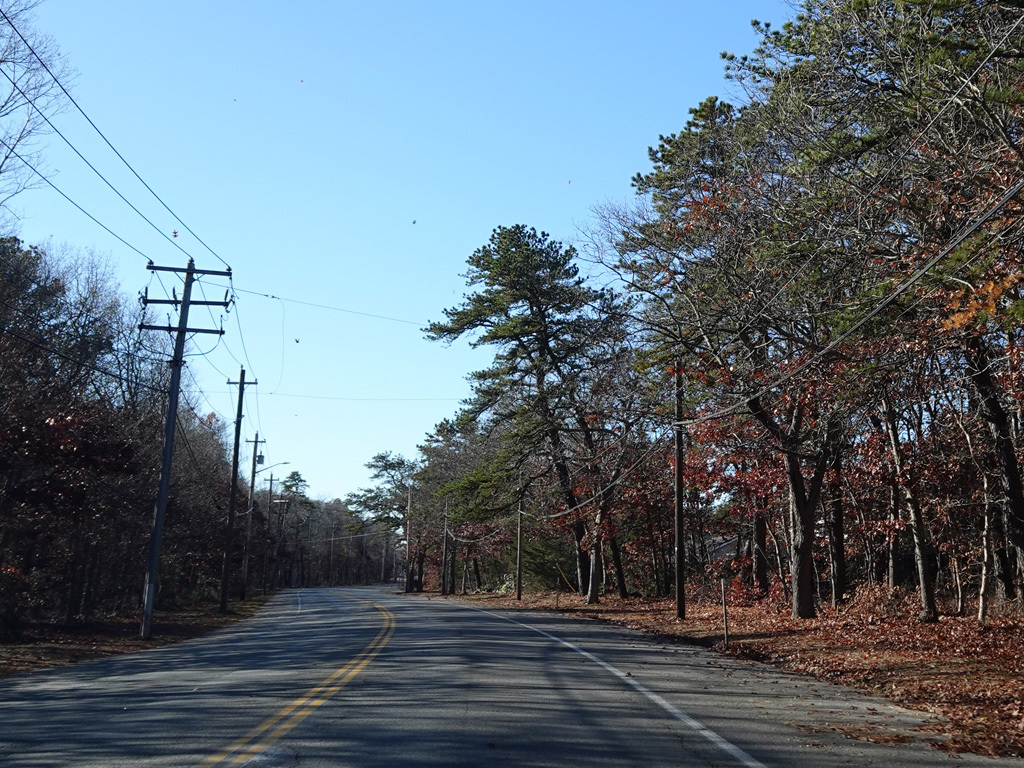
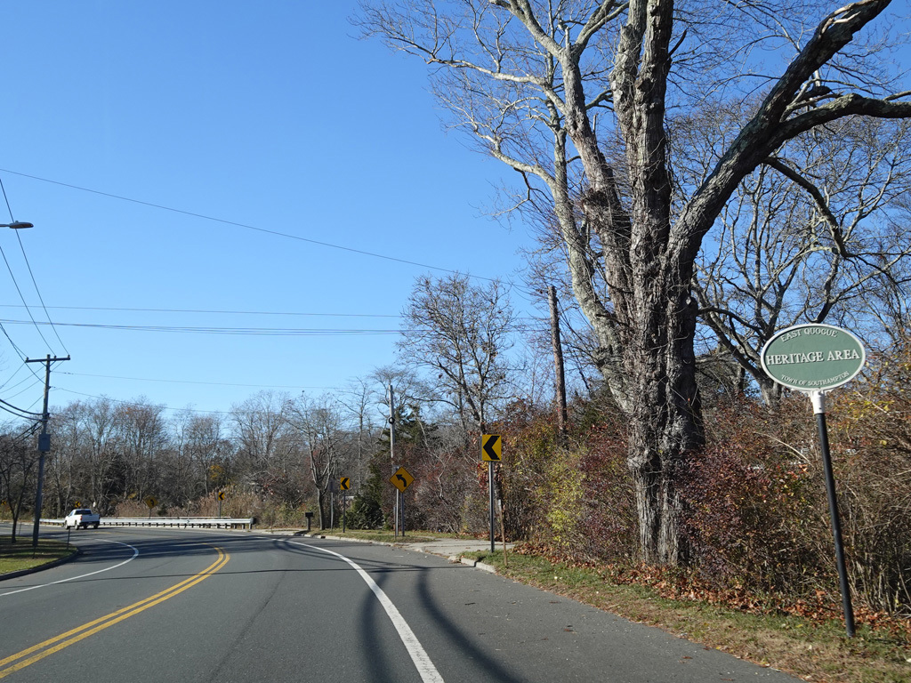
The median ends. Montauk Highway runs west toward Hampton Bays at a two-lane undivided road.
Photos taken November 2025.
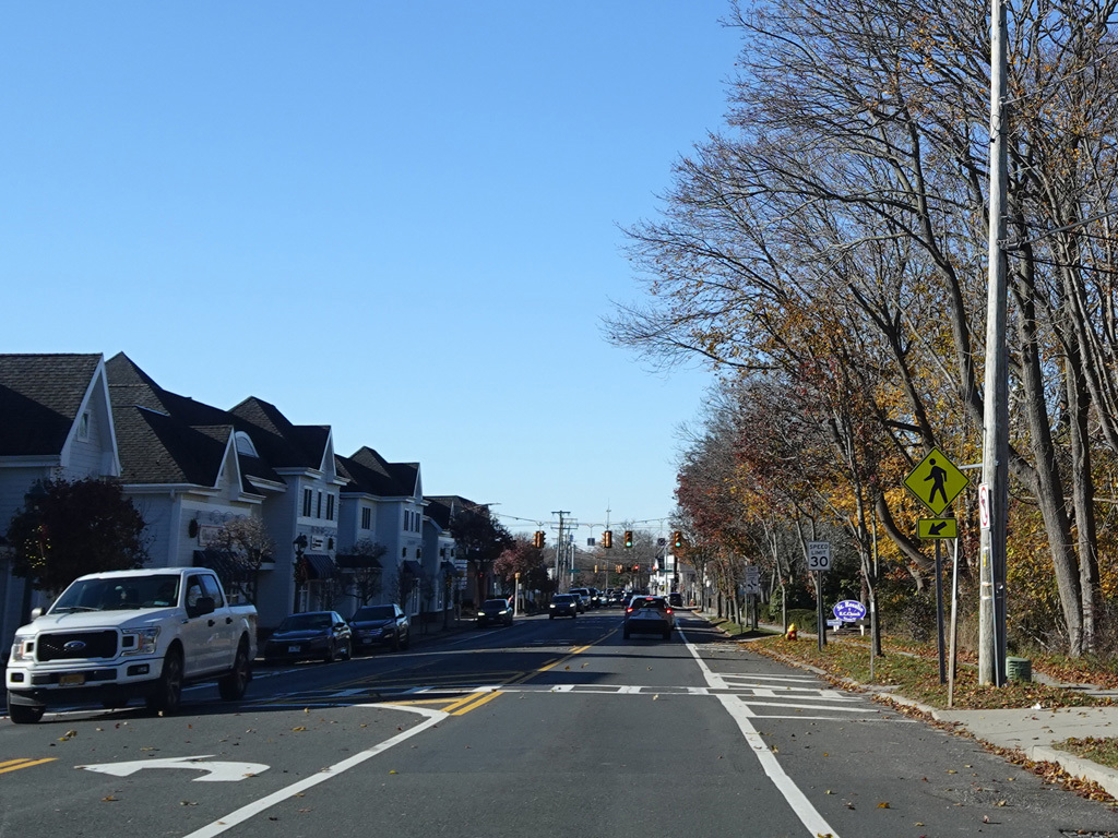
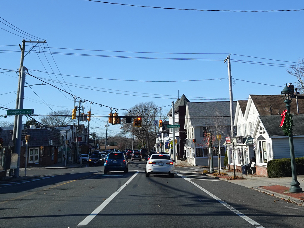
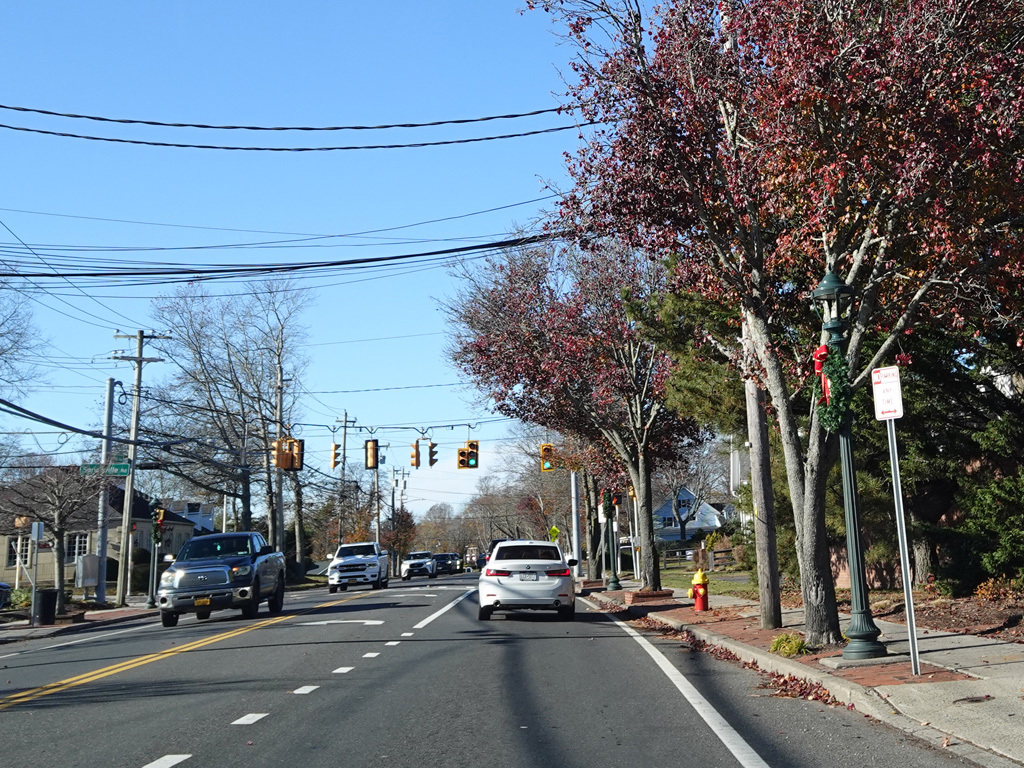
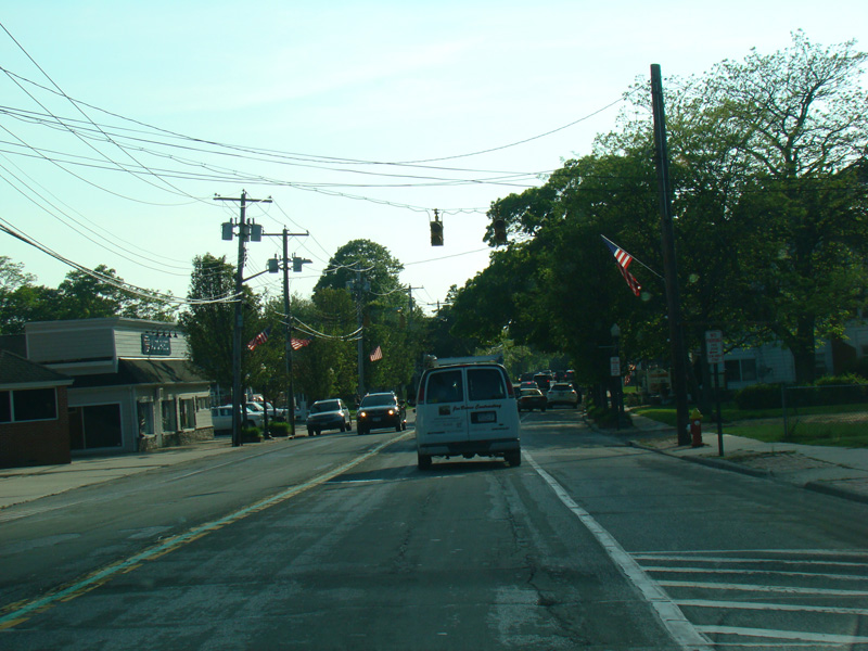
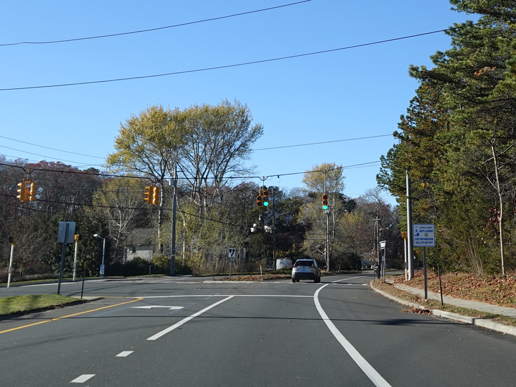
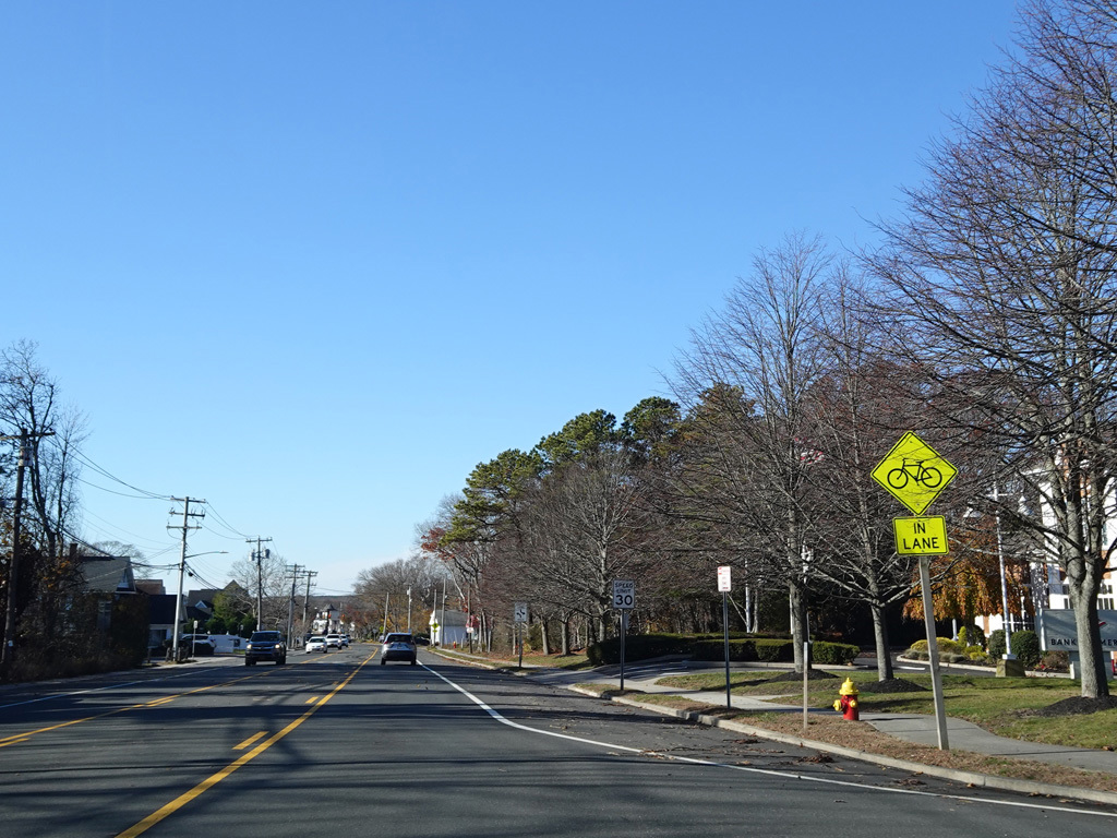
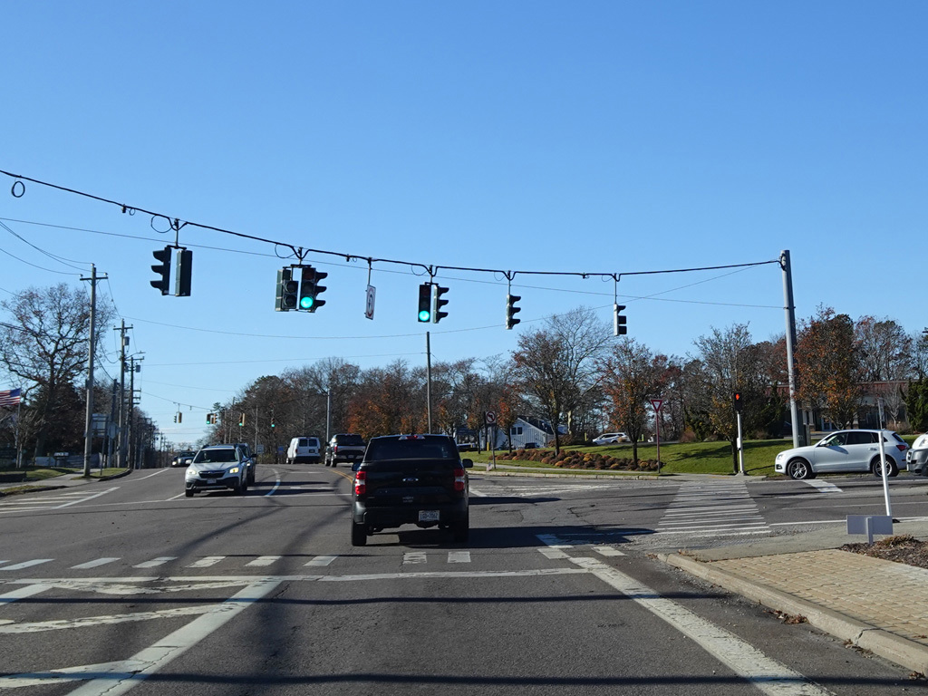
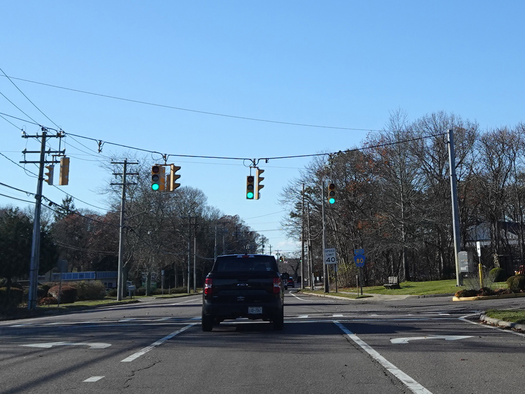
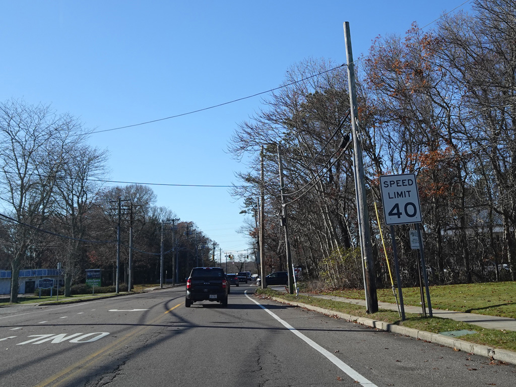
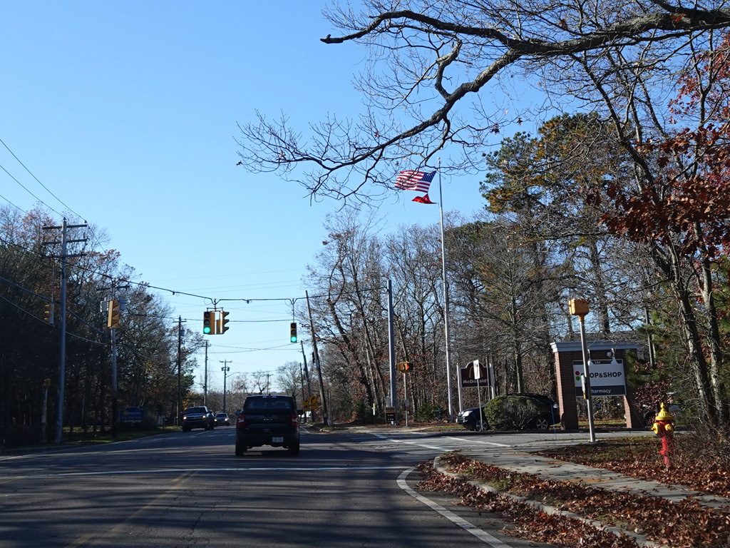
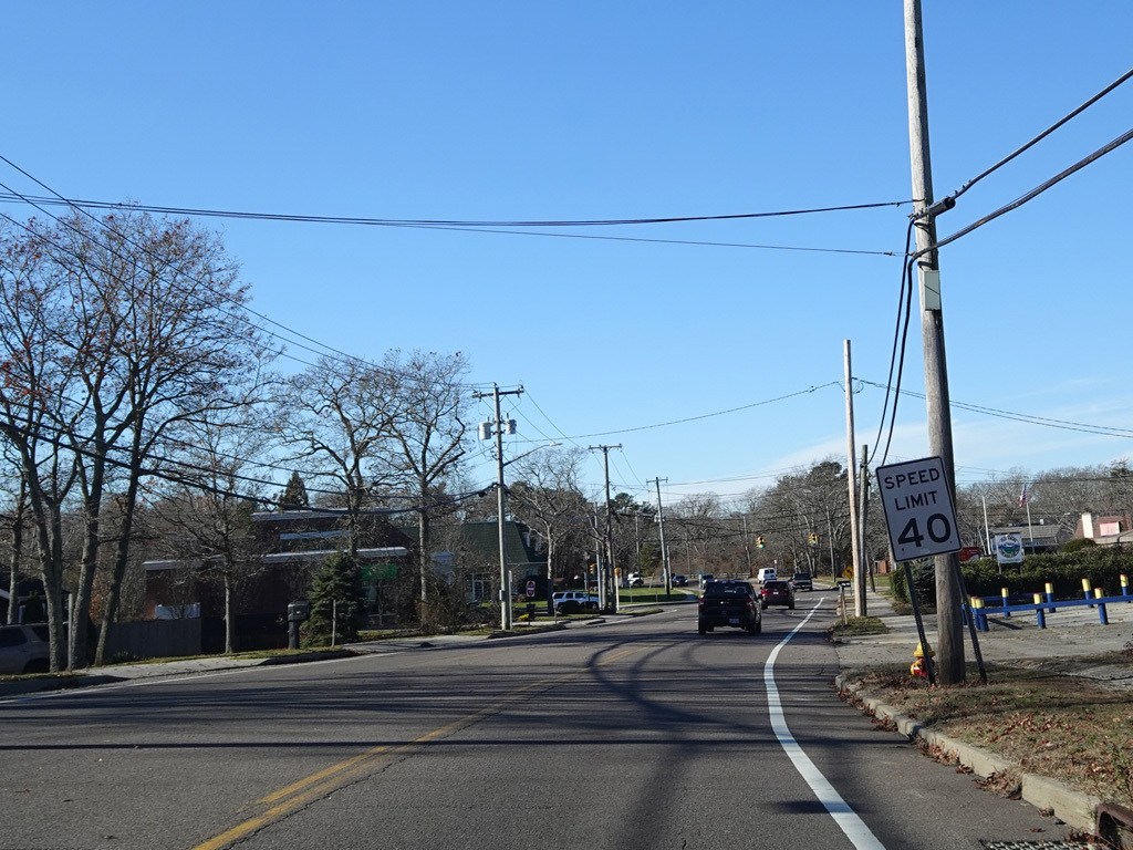
In Hampton Bays, there are traffic lights at Ponquogue Avenue, Squiretown Road, Springville Road, and Cemetery Road.
Photos taken November 2025.
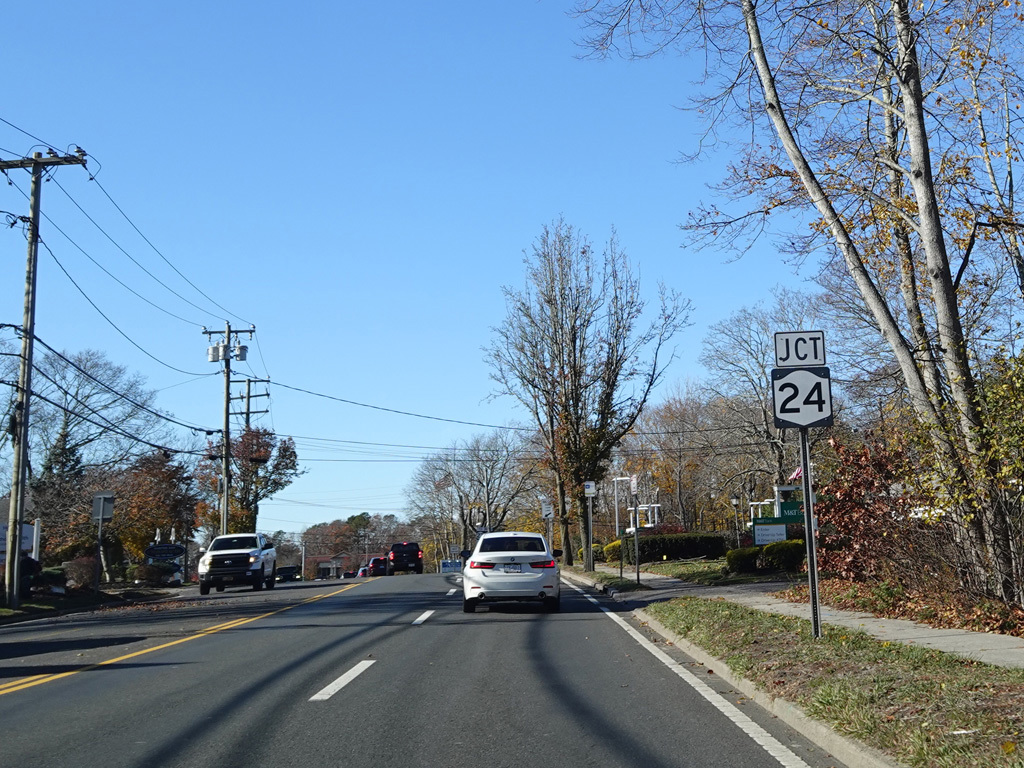
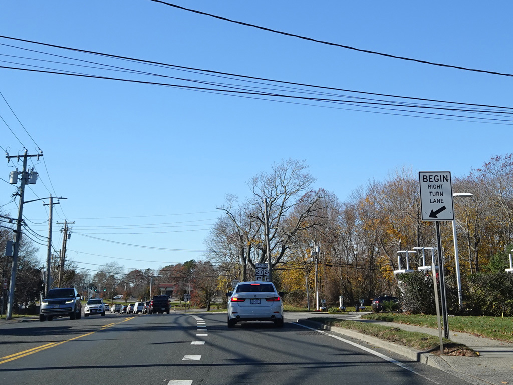
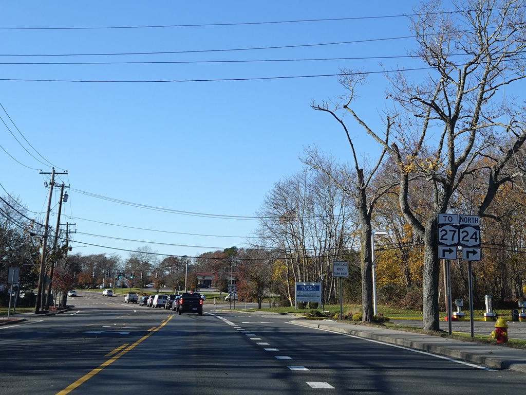
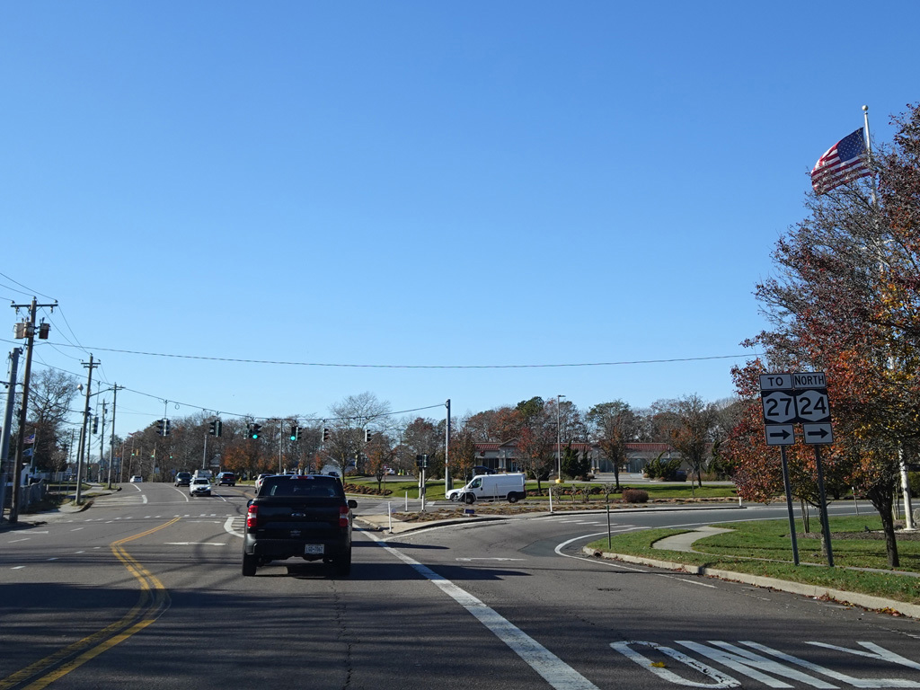
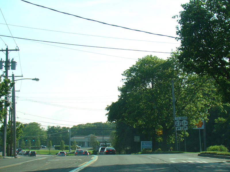
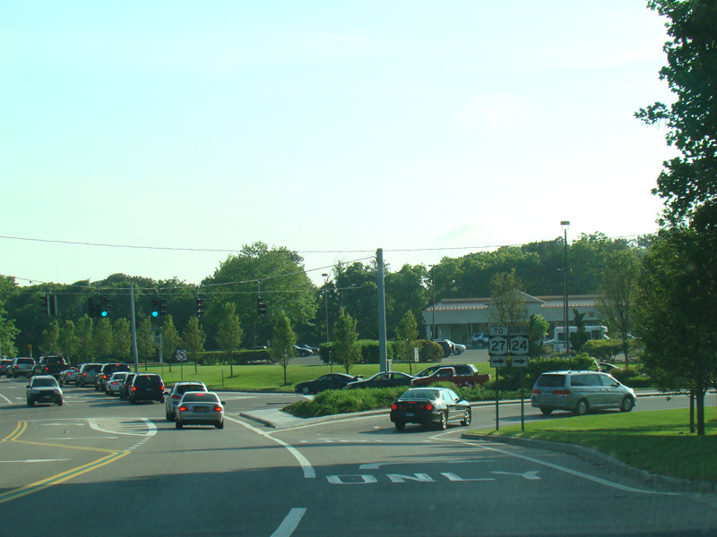
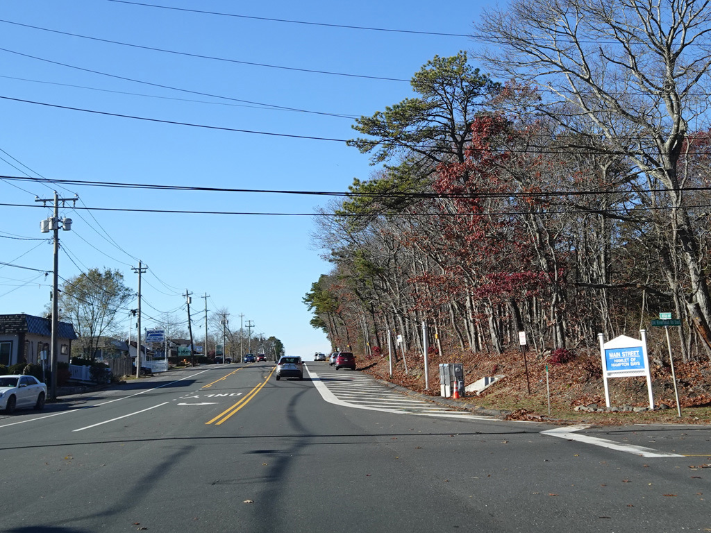
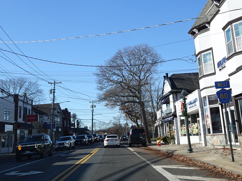
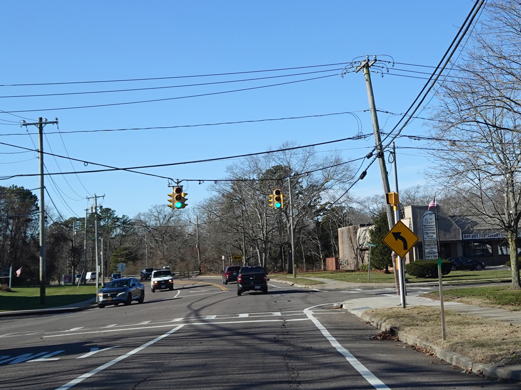
Riverhead-Hampton Bays Road (NY 24) begins on the right here. Turn right for access to Sunrise Highway (NY 27).
Photos taken November 2025.
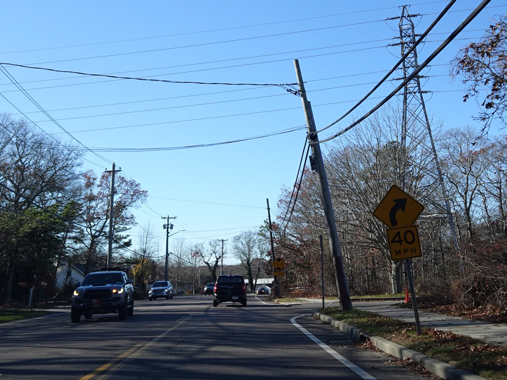
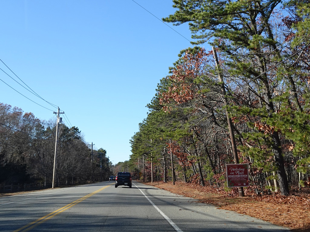
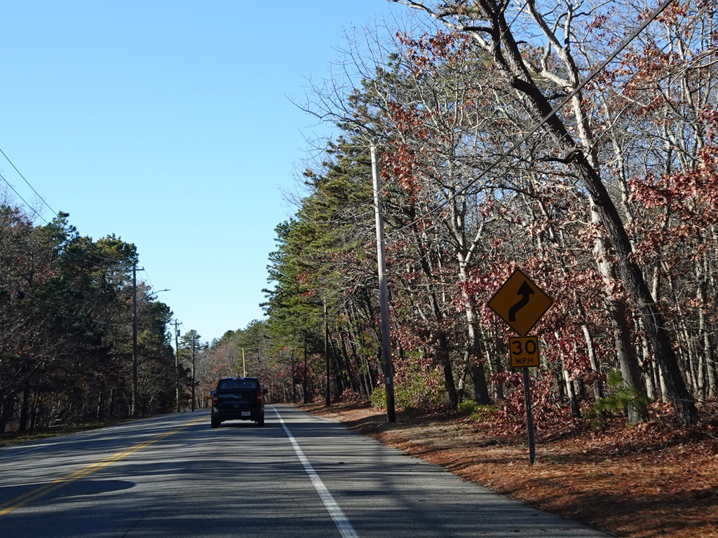
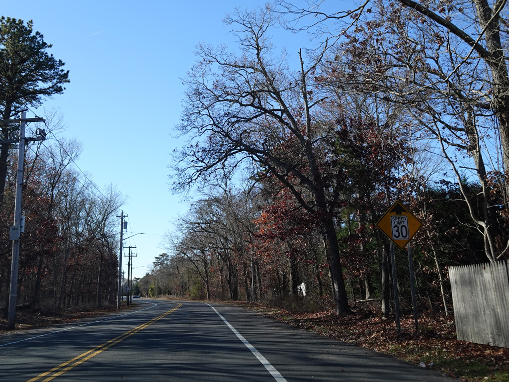
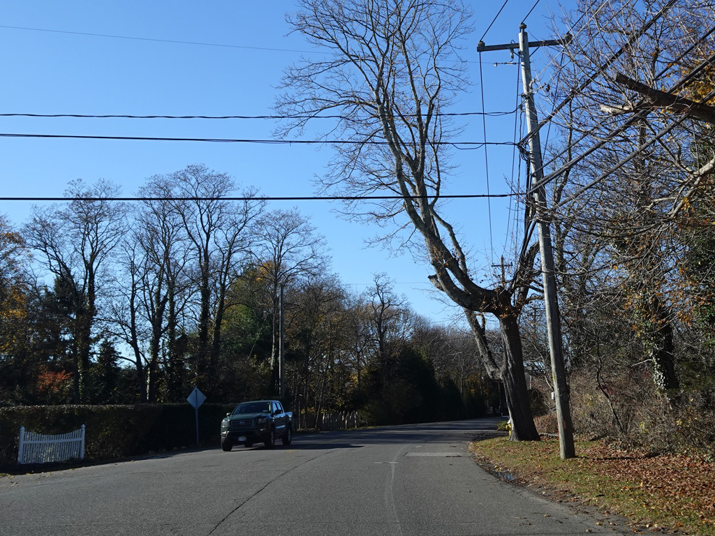
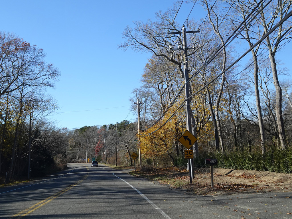
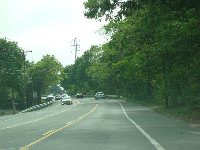
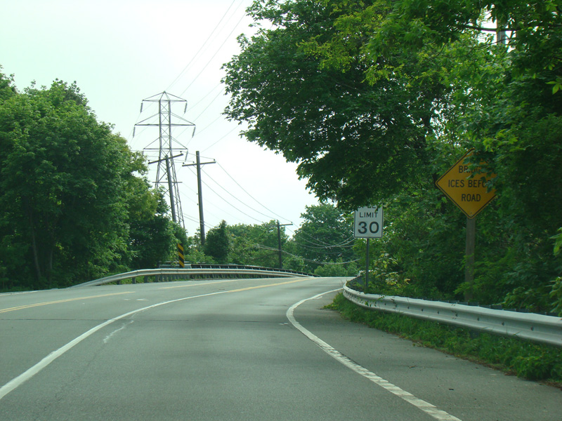
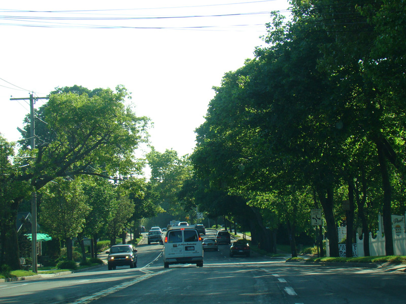
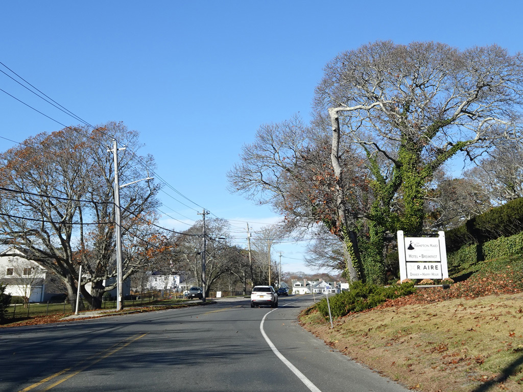
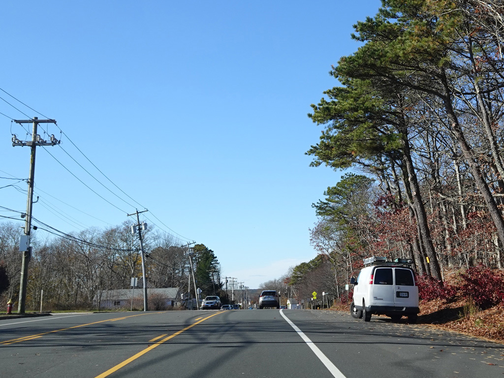
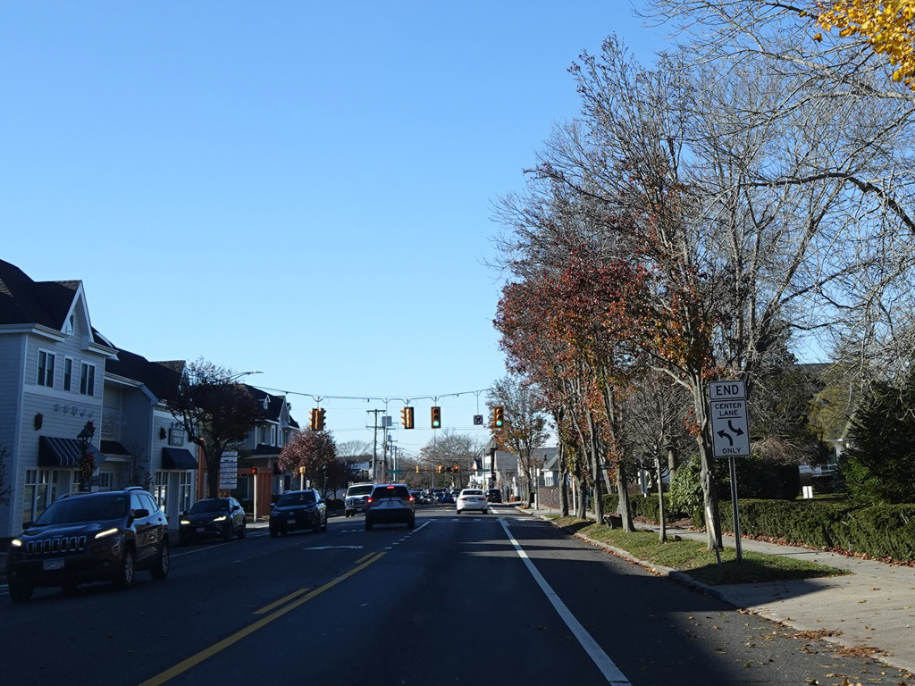
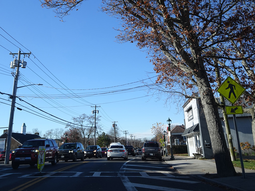
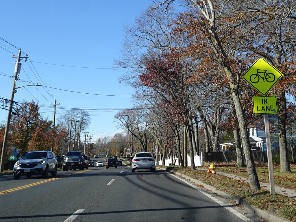
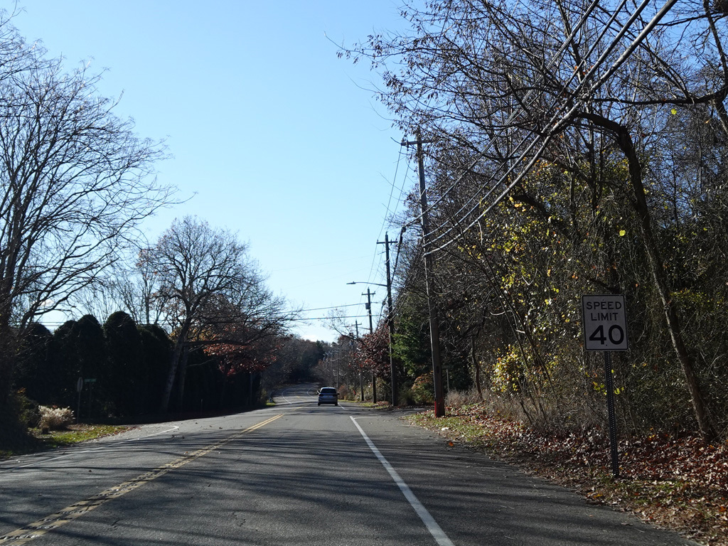
Montauk Highway runs southwest toward Quogue.
Photos taken November 2025.
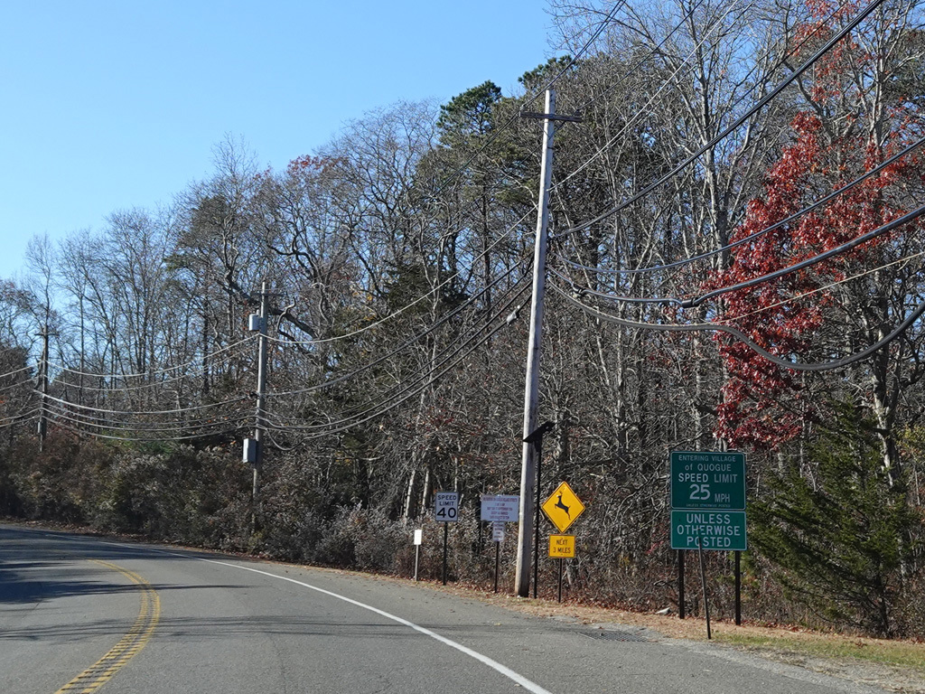
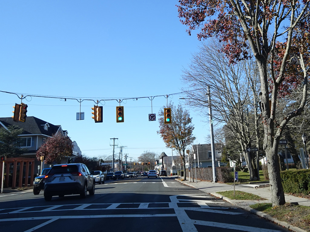
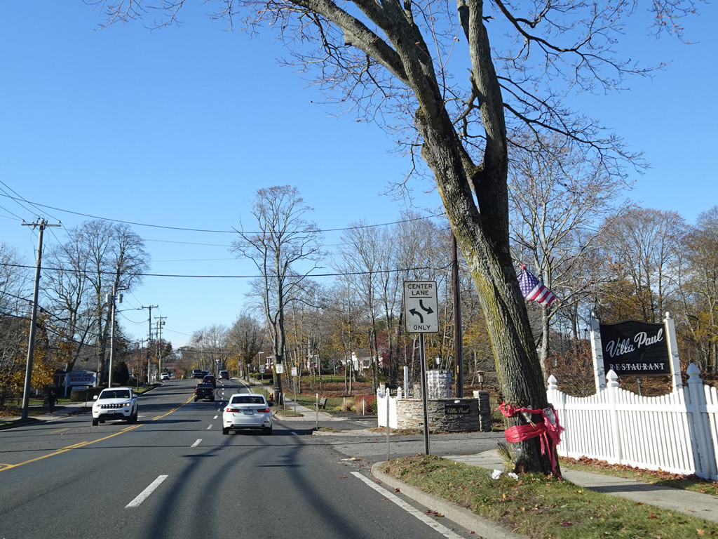
Welcome to the Village of Quogue!
Photos taken November 2025.
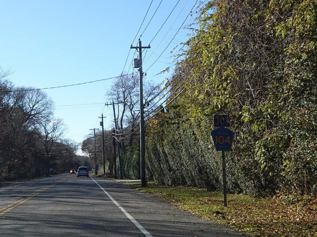
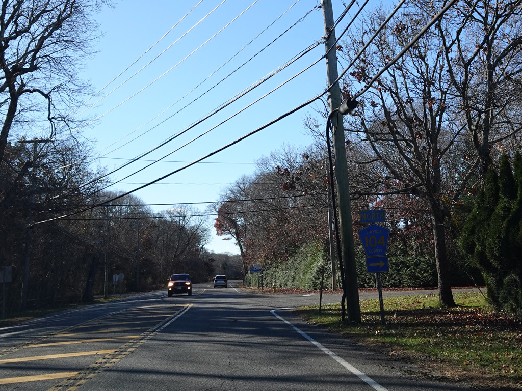
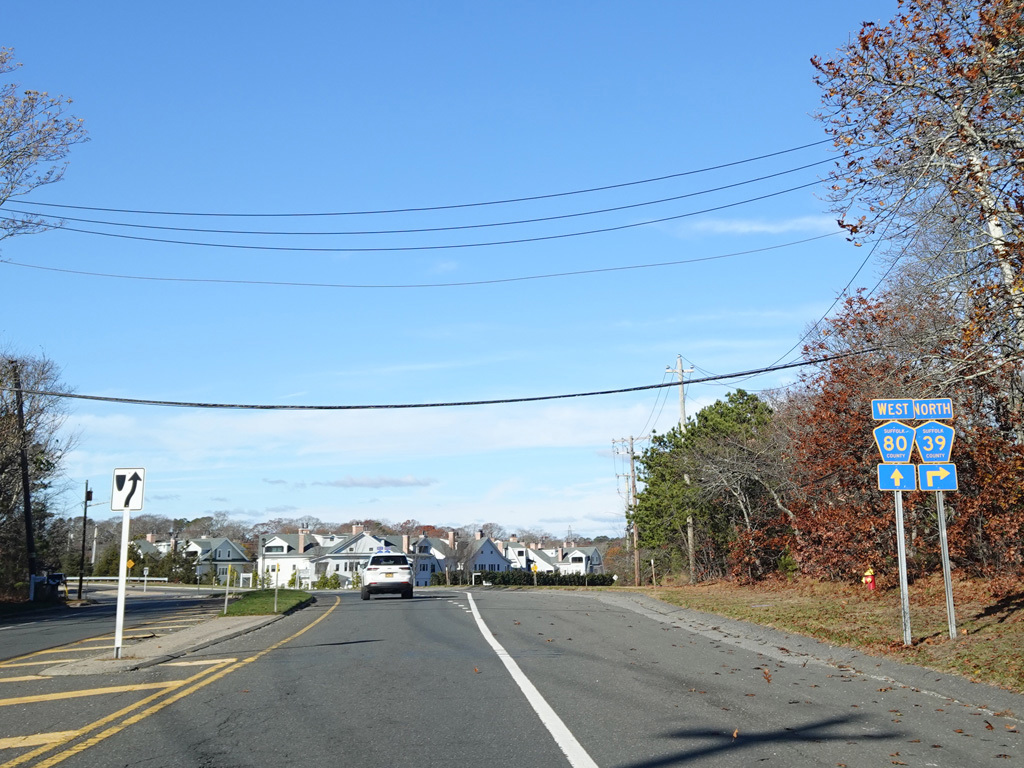
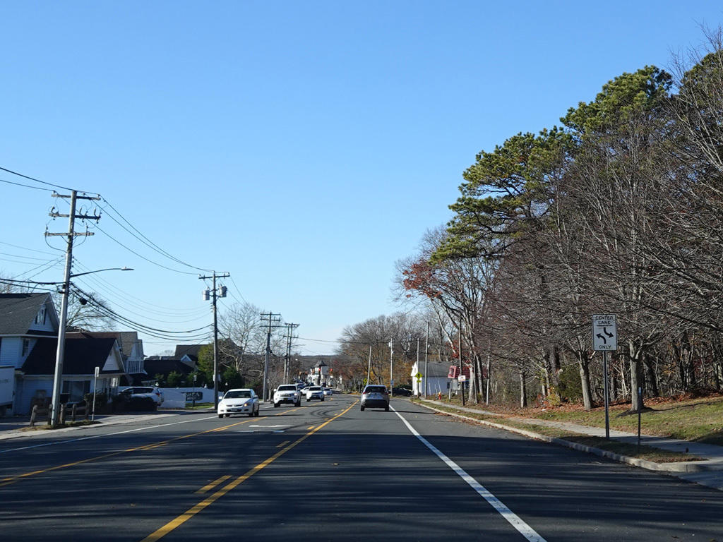
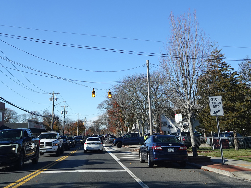
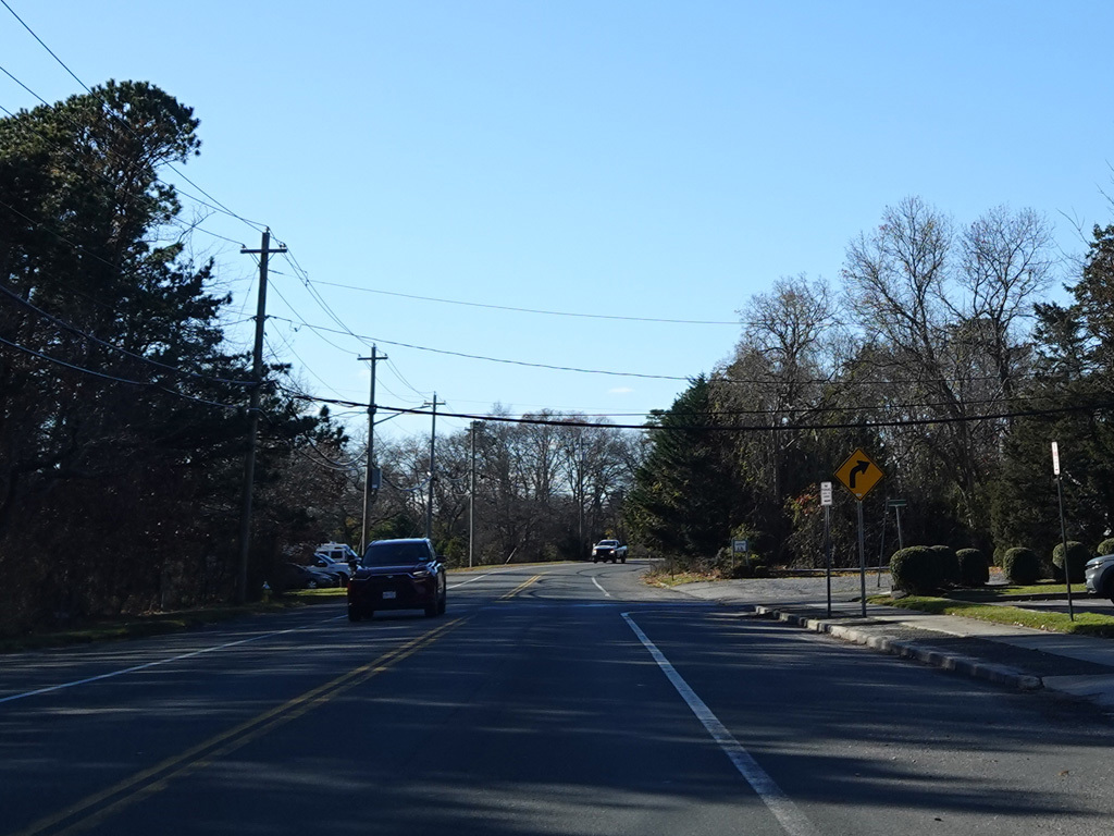
Quogue-Riverhead Road (CR 104) begins on the right at an uncontrolled intersection.
Photos taken November 2025.