Cross Bronx Expressway, Broadway, Albany Post Road, South Highland Avenue, North Highland Avenue, Croton Expressway, South Road, North Road, Mill Street, Montgomery Street, Spring Brook Avenue, South Broadway, North Broadway, Worth Avenue, Warren Street, Park Place, Columbia Street, Green Street, Fairview Avenue, Stottville Village Road, Broad Street, Chatham Street, Kinderhook Street, Columbia Turnpike, Columbia Street, Dunn Memorial Bridge, Clinton Avenue, Henry Johnson Boulevard, Loudon Road, Halfmoon Parkway, Marion Avenue, Maple Avenue, Saratoga Road, Saratoga Avenue, Main Street, Glen Street, Lake George Road, Canada Street, Court Street, Maple Street, Front Street, North Ausable Street, US Avenue, Peru Street, Bridge Street, City Hall Place, Miller Street, Margaret Street
Northbound Views
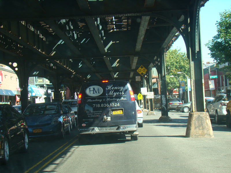
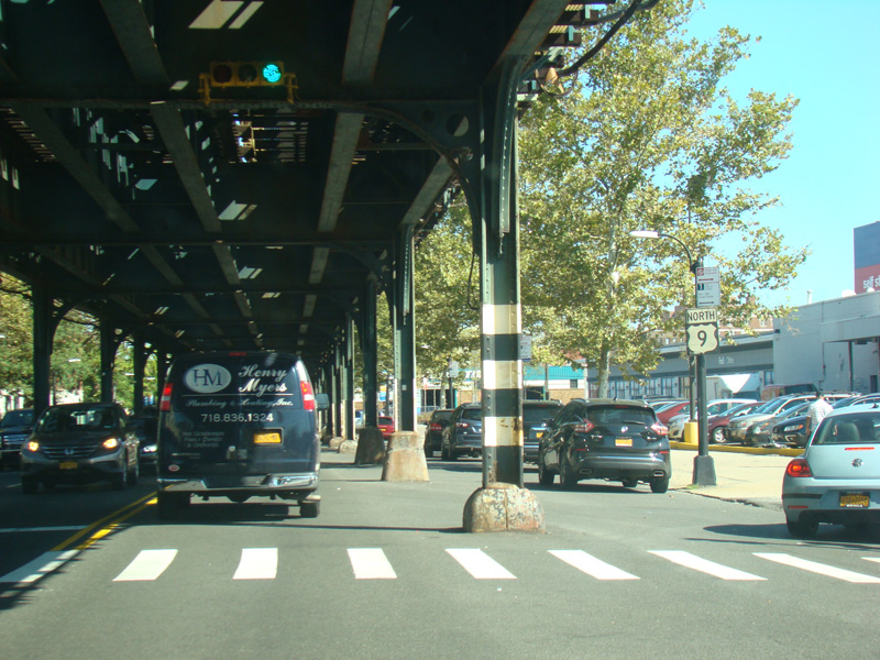
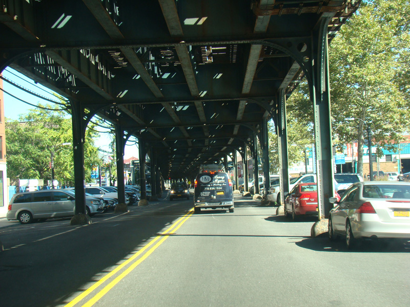
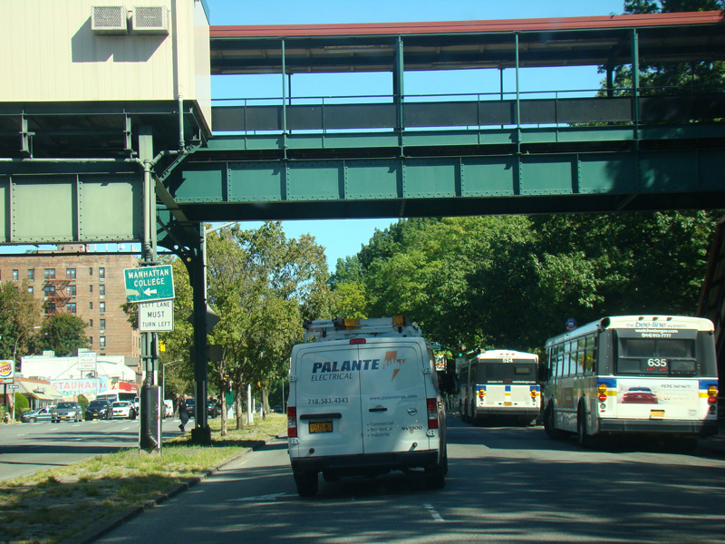
Broadway narrows down to two lanes and runs under the elevated subway tracks.
Photos taken October 2017.
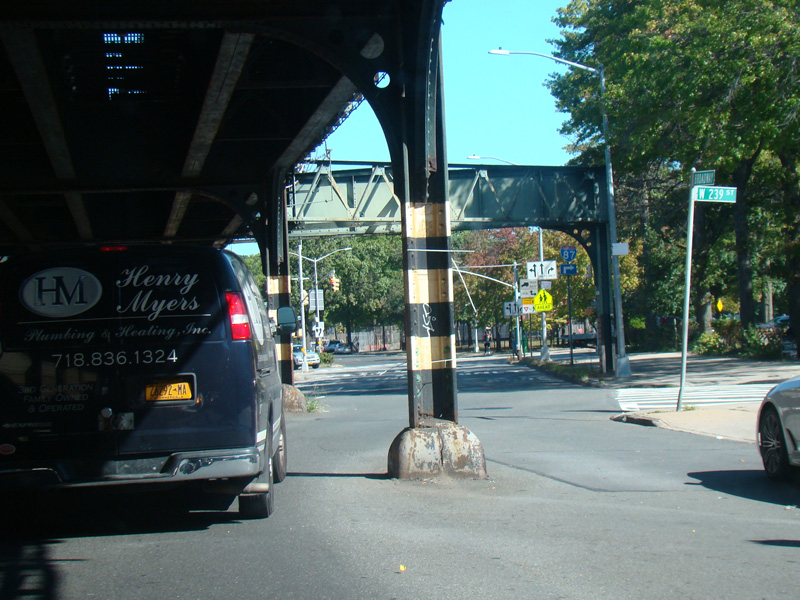
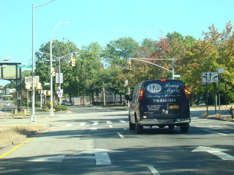
Broadway emerges from under the tracks and widens to become a four-lane divided road. Van Cortlandt Park South begins on the right at a traffic light. Turn right for access to the Major Deegan Expressway (I-87).
Photos taken October 2017.
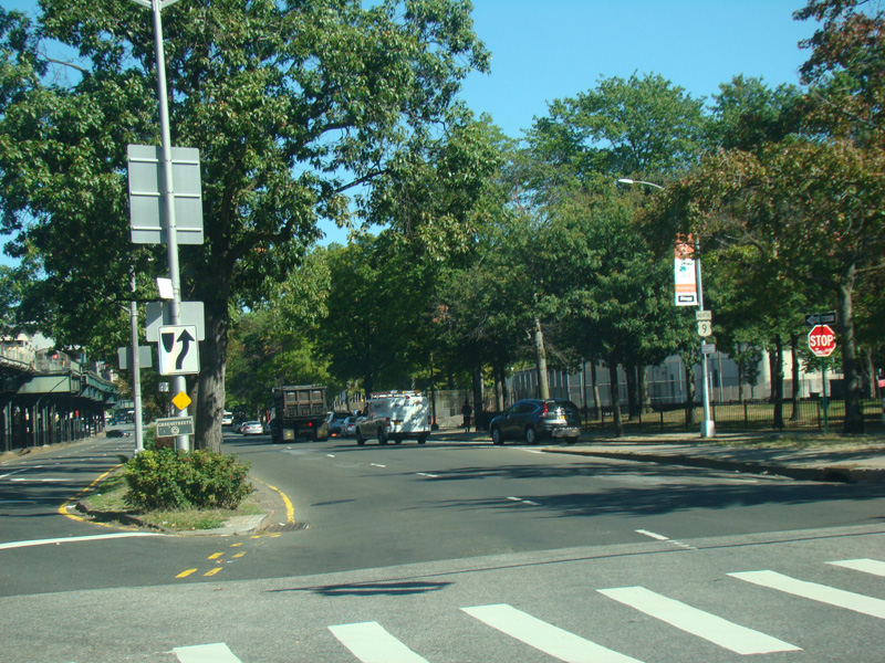
The subway line ends at a station at West 242 Street.
Photos taken October 2017.
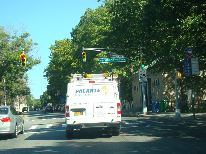
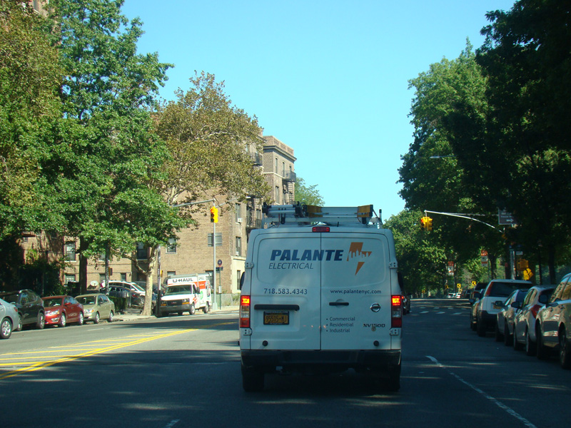
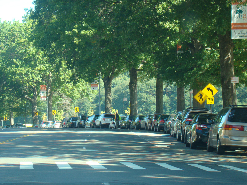
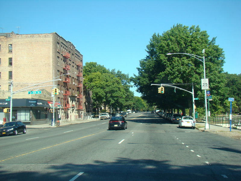
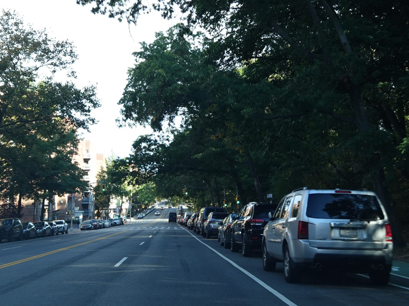
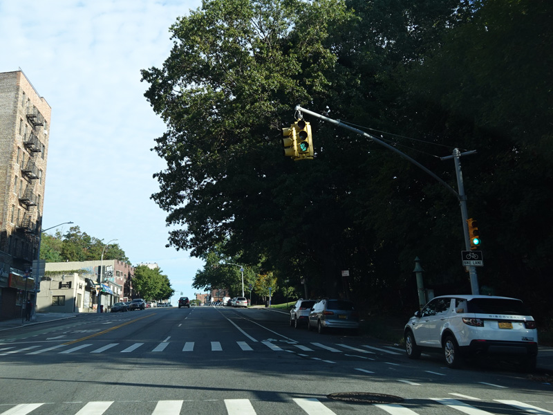
The median ends, and Broadway runs north through Riverdale as a four-lane undivided road. Van Cortlandt Park is on the right. There are traffic lights with oversized street name signs at Manhattan College Parkway and West 251 Street.
Photos taken October 2017.
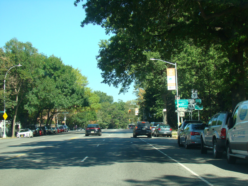
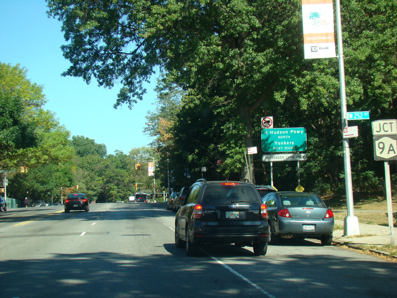
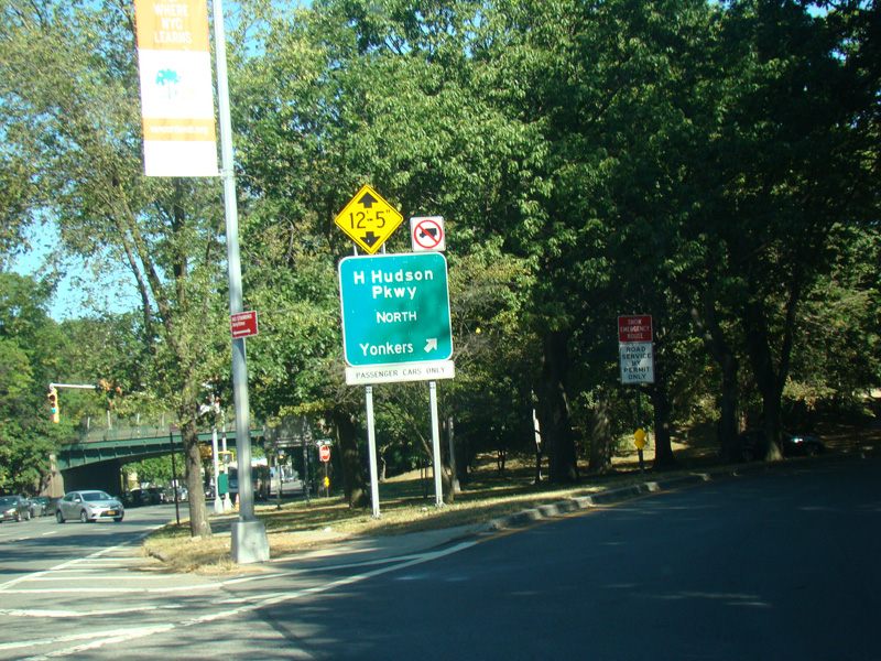
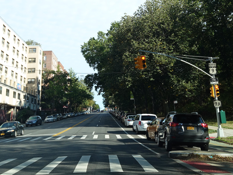
There is an interchange with the Henry Hudson Parkway. NY 9A is routed along the parkway south of this point. It splits off here and is multiplexed with US 9 along Broadway to the north.
Photos taken October 2017.
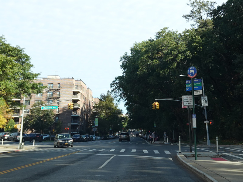
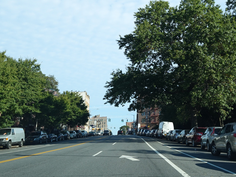
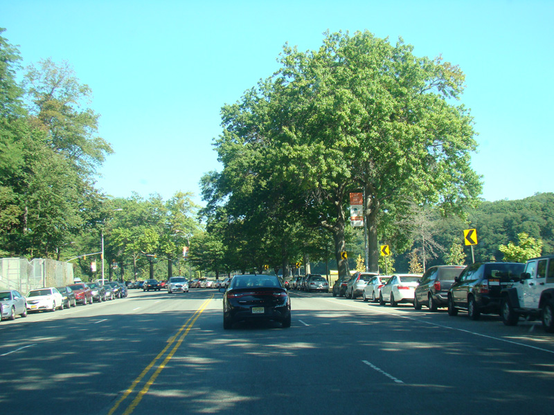
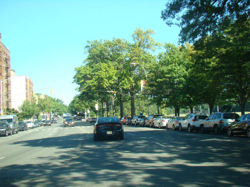
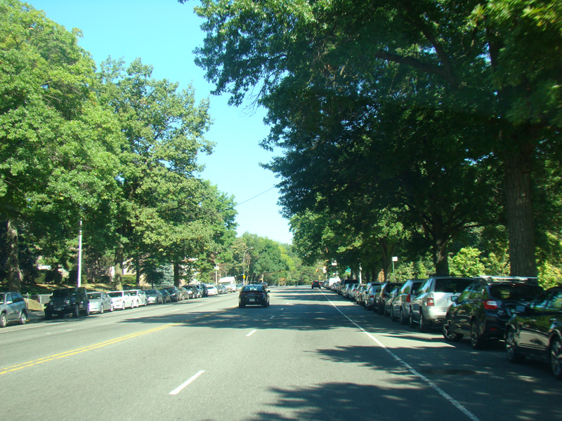
Broadway continues north as a four-lane undivided road. There are oversized street name signs at West 254 Street and Mosholu Avenue. At the city line, Broadway narrows down to two lanes.
Photos taken October 2020.