Brackel Road, Billy Brown Road, Plymouth Street, Pleasant Street, Rexford Street, West Main Street, South Broad Street, Chestnut Street, Main Street, Harper Street, Rip Van Winkle Bridge, Claverack Road
Eastbound Views
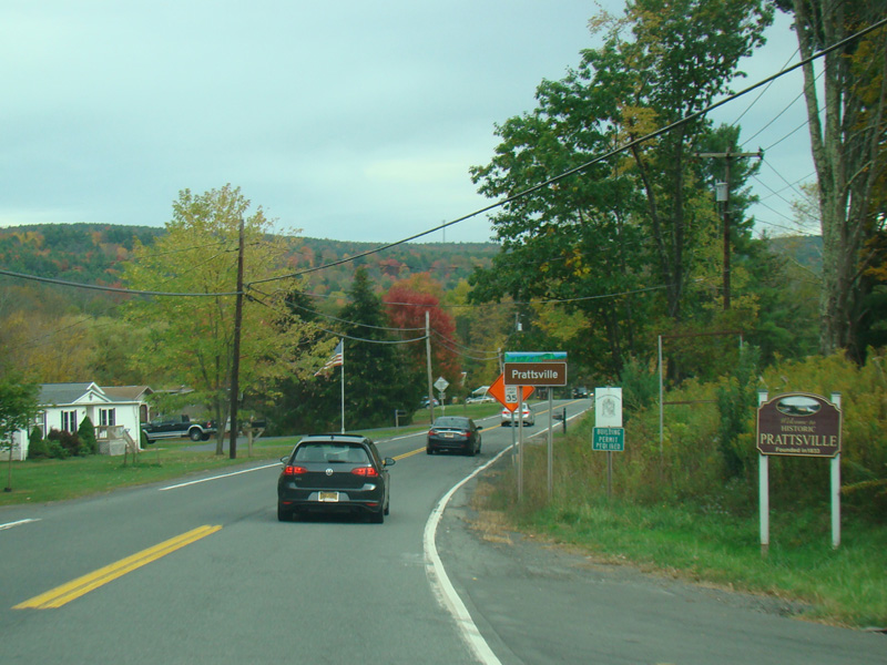
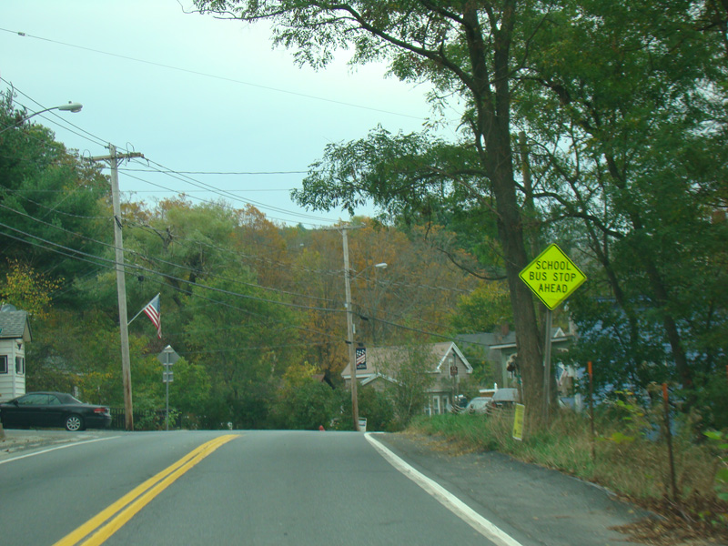
Welcome to Prattsville!
Photos taken October 2017.
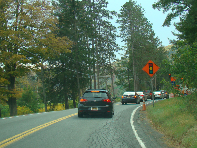
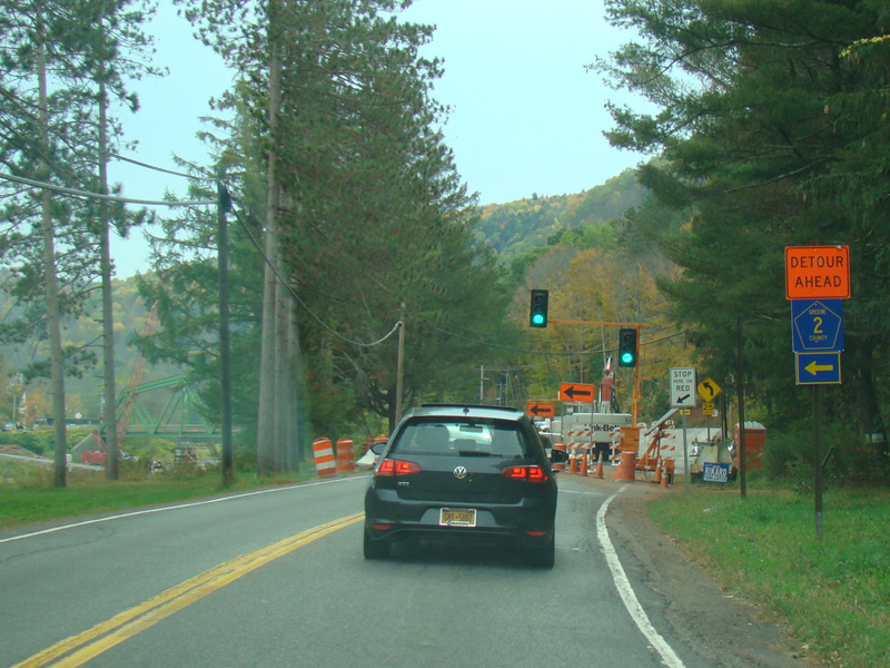
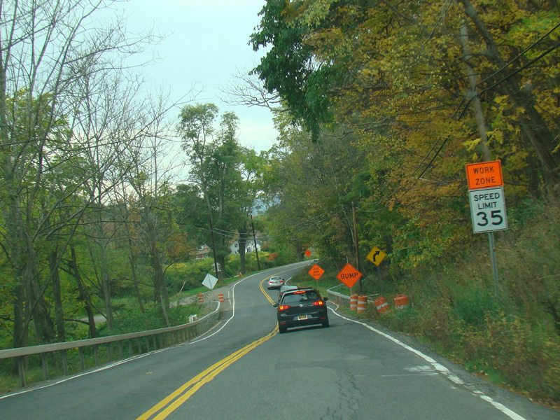
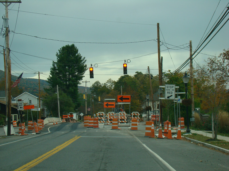
There is another construction zone with a single lane controlled by a temporary traffic light.
Photos taken October 2017.
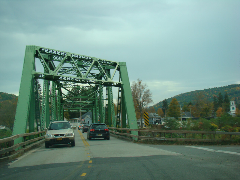
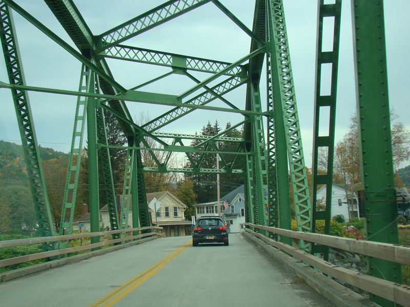
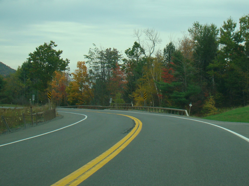
There is a small bridge over Schoharie Creek.
Photos taken October 2017.
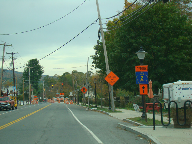
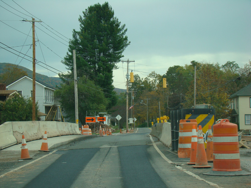
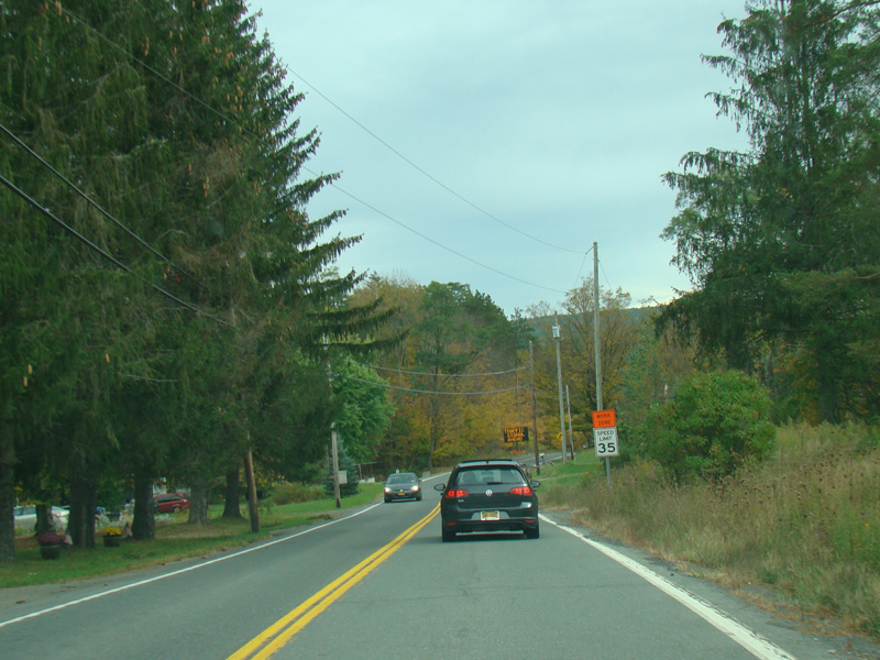
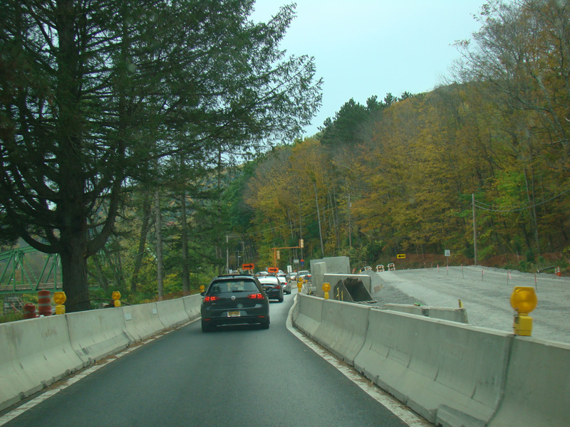
In the downtown area of Prattsville, NY 23 is known as Main Street. There is a third construction zone with a single lane controlled by a temporary traffic light.
Photos taken October 2017.
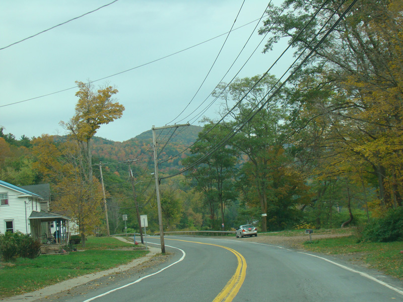
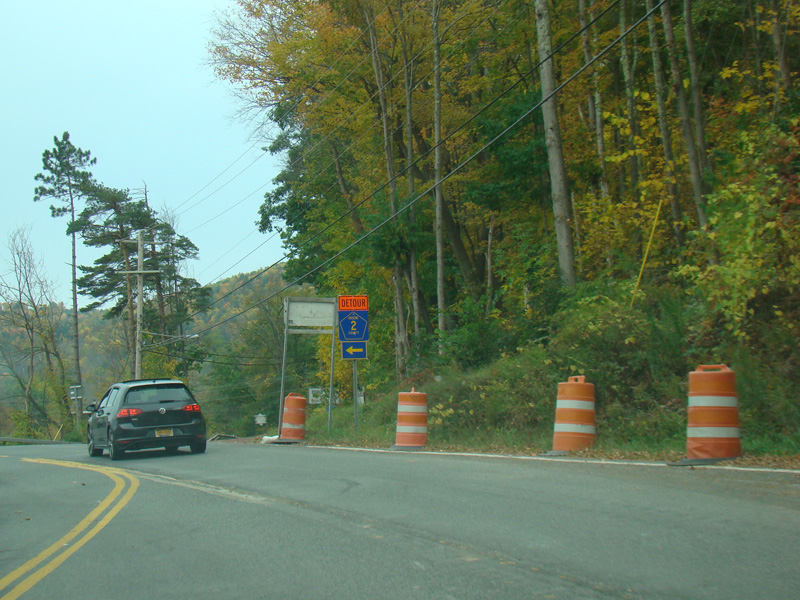
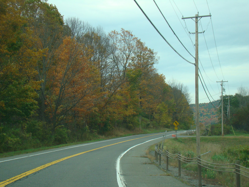
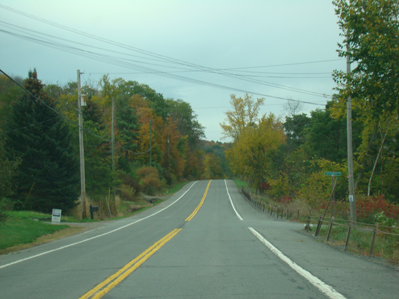
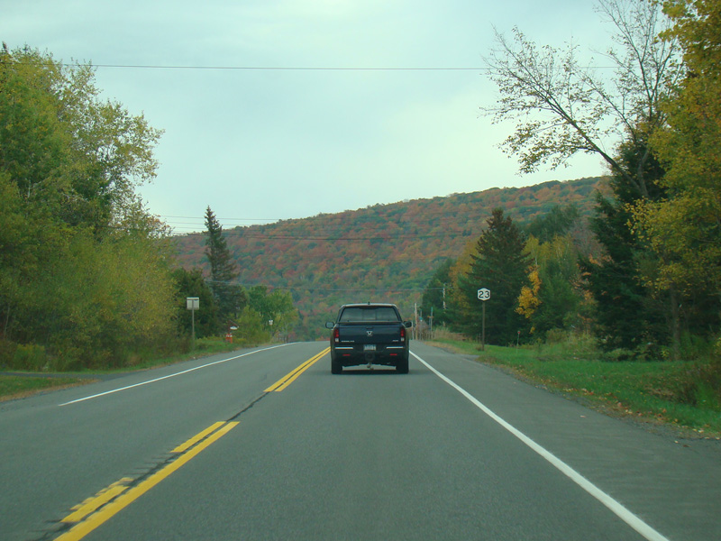
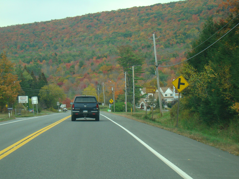
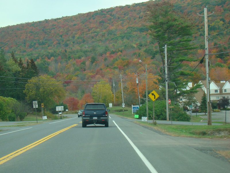
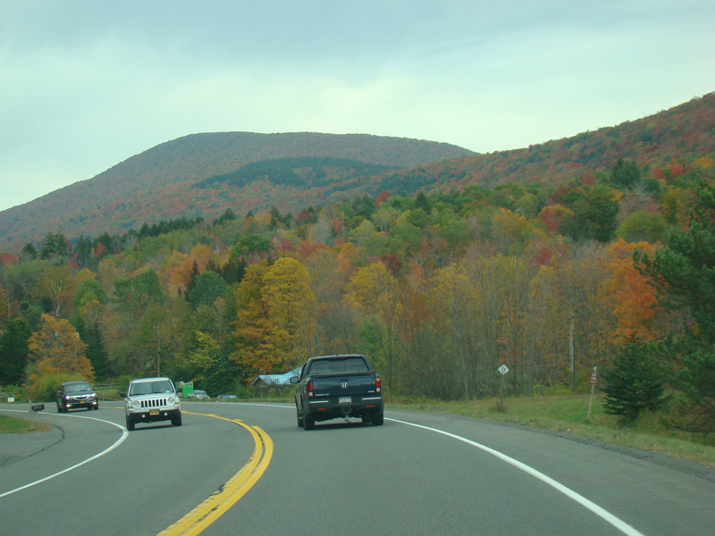
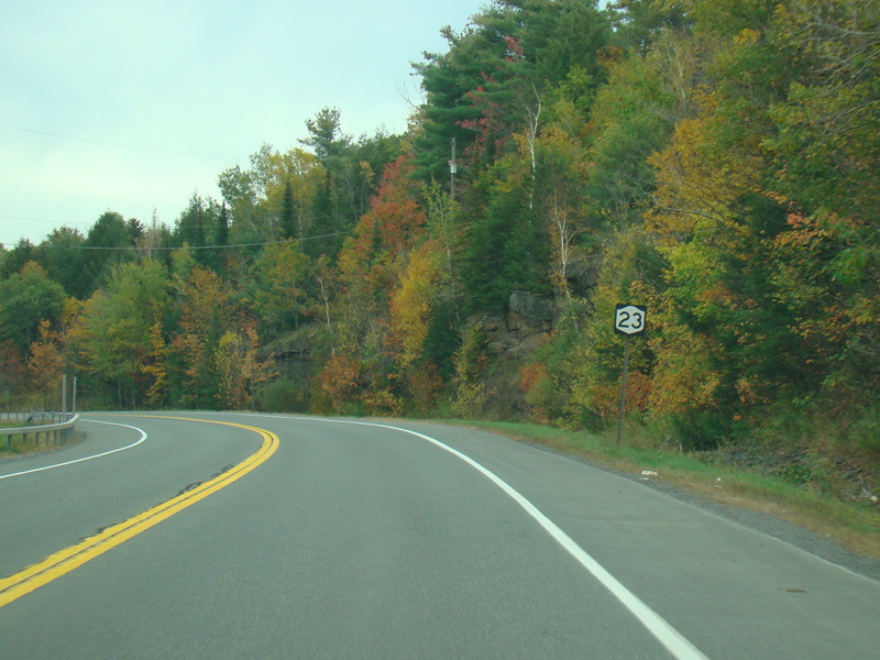
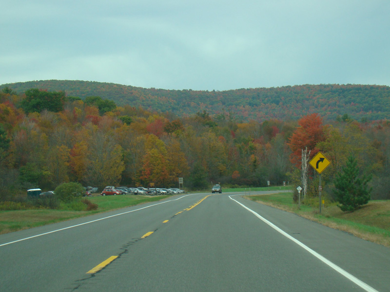
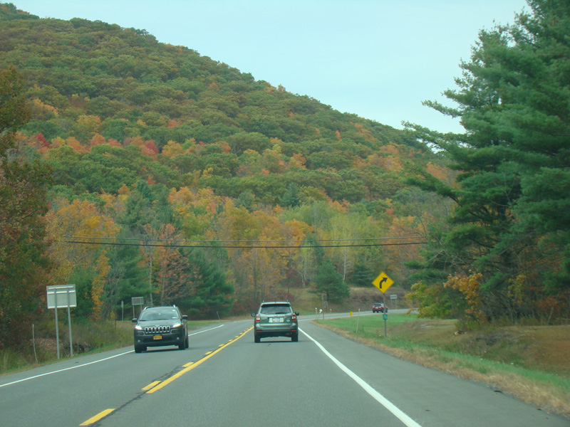
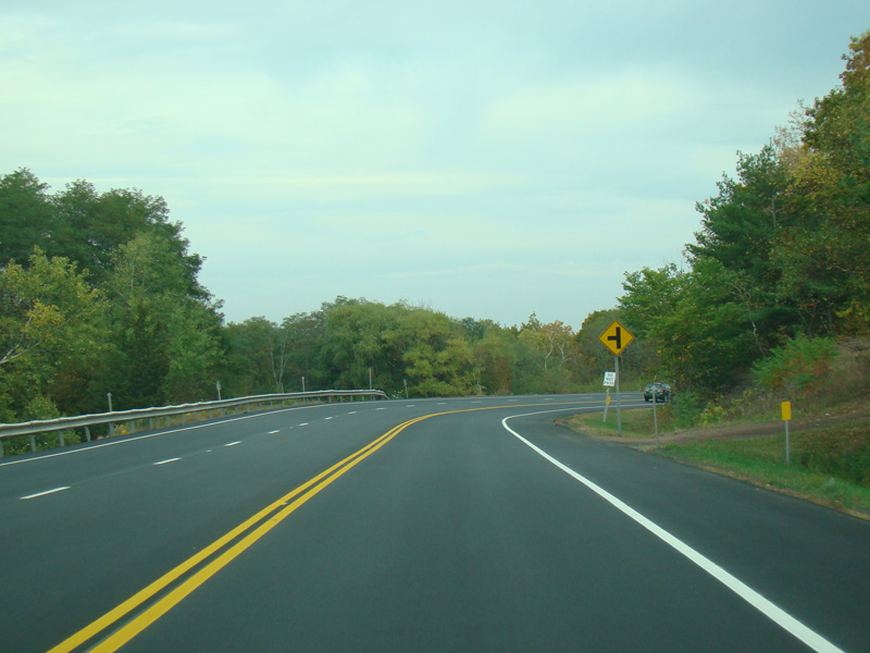
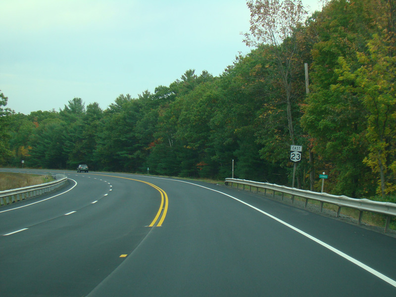
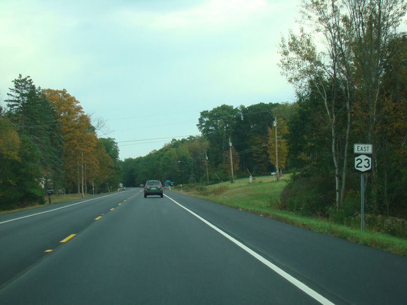
NY 23 continues east as a two-lane undivided road.
Photos taken October 2017.
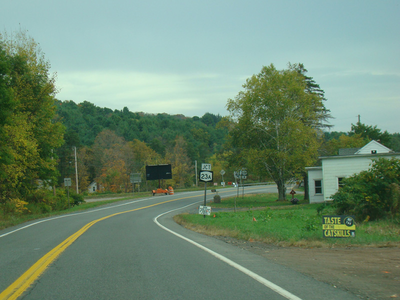
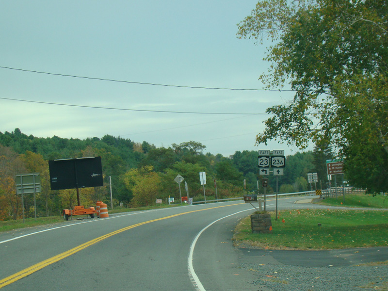
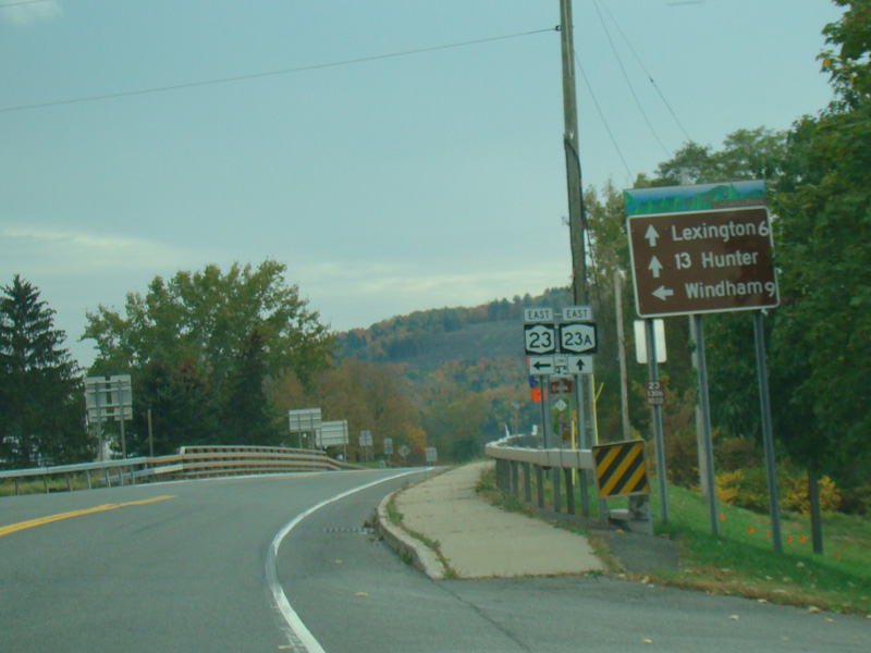
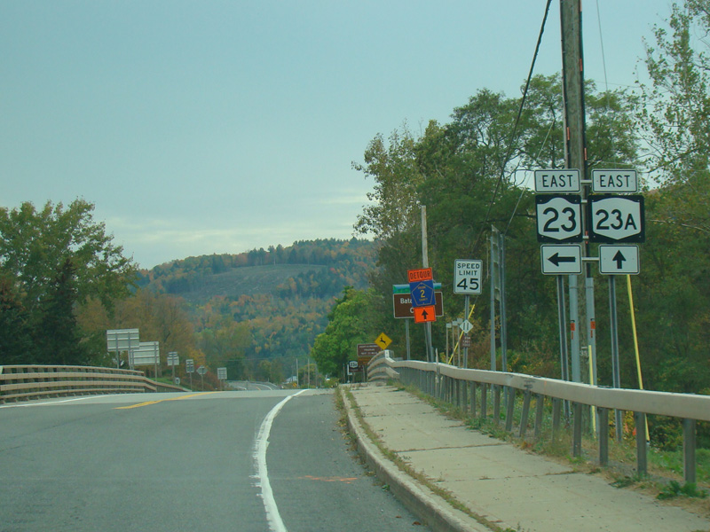
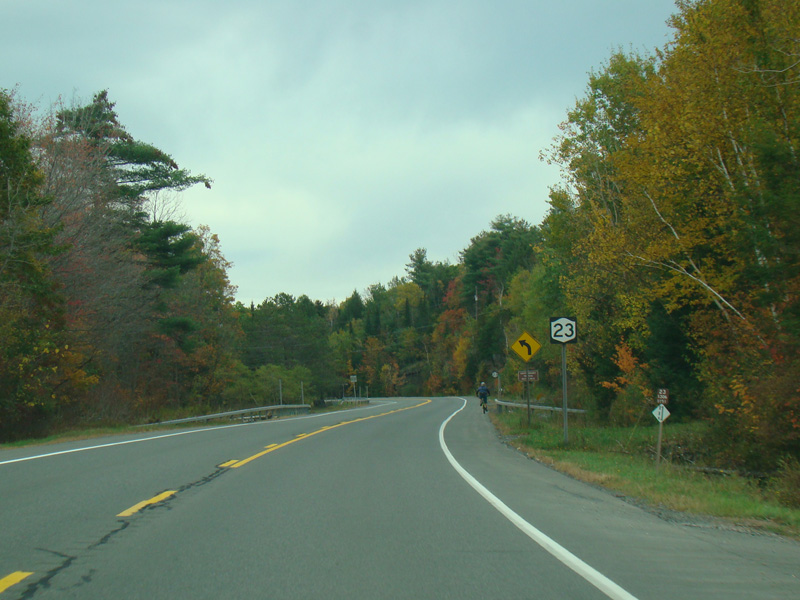
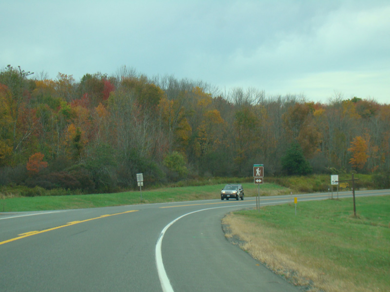
Turn left here to stay on NY 23. NY 23A begins straight ahead.
Photos taken October 2017.
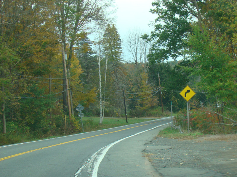
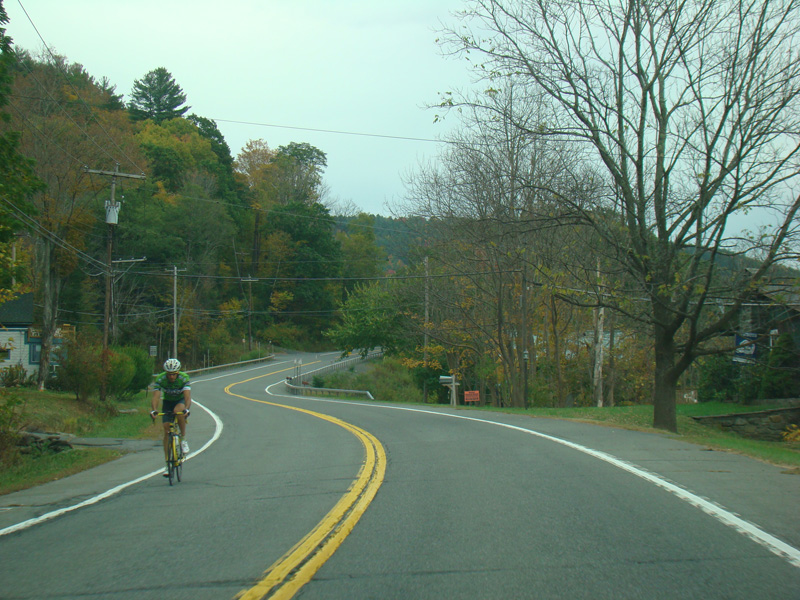
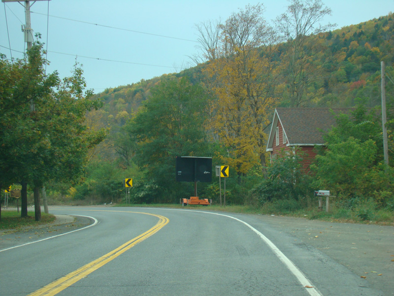
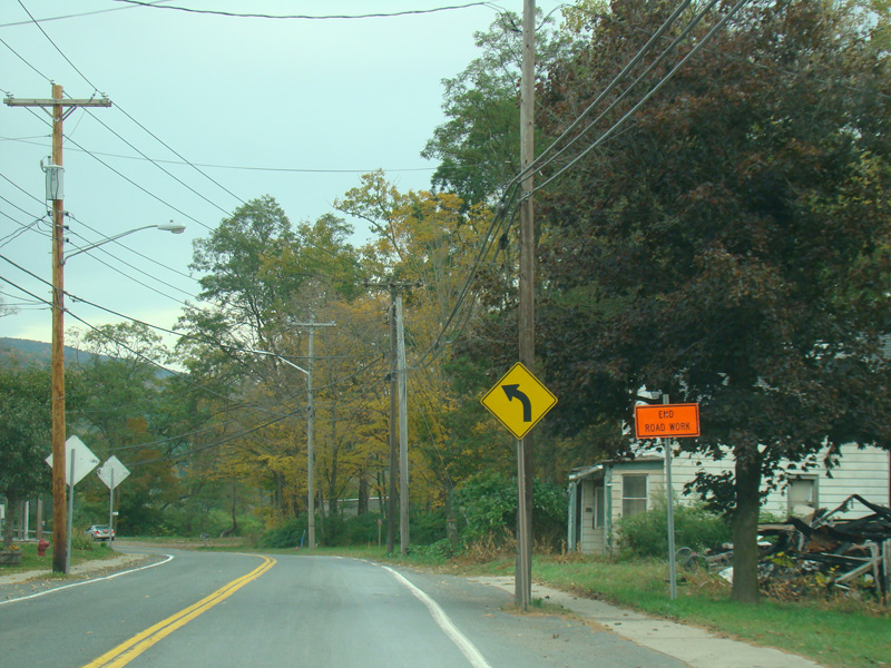
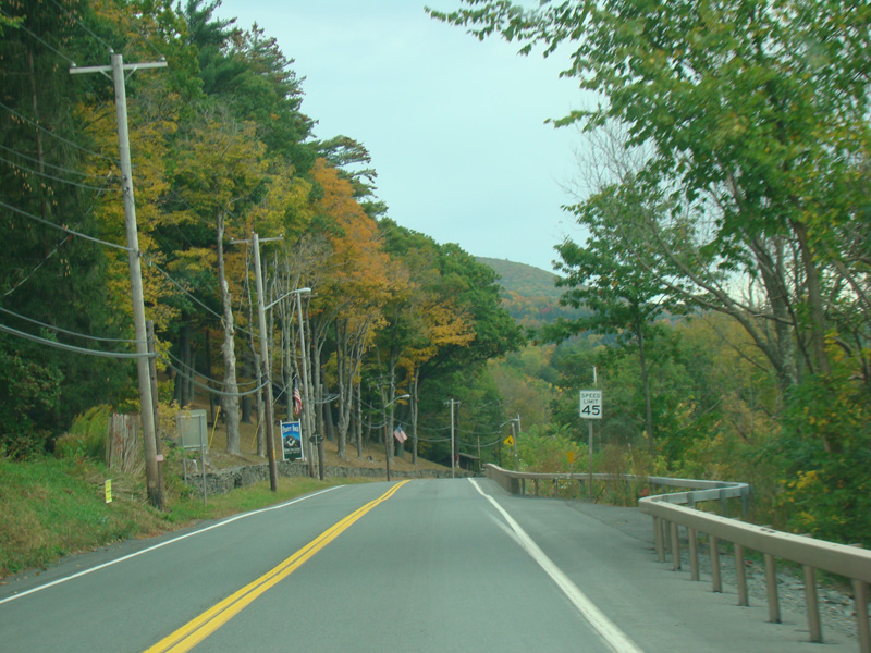
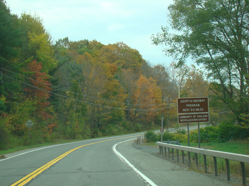
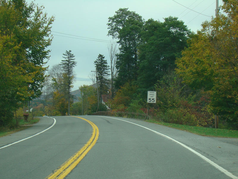
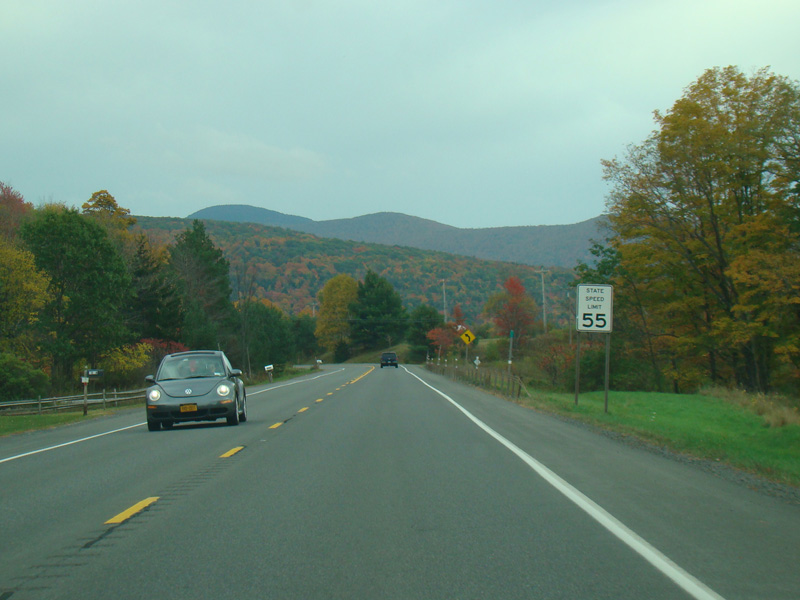
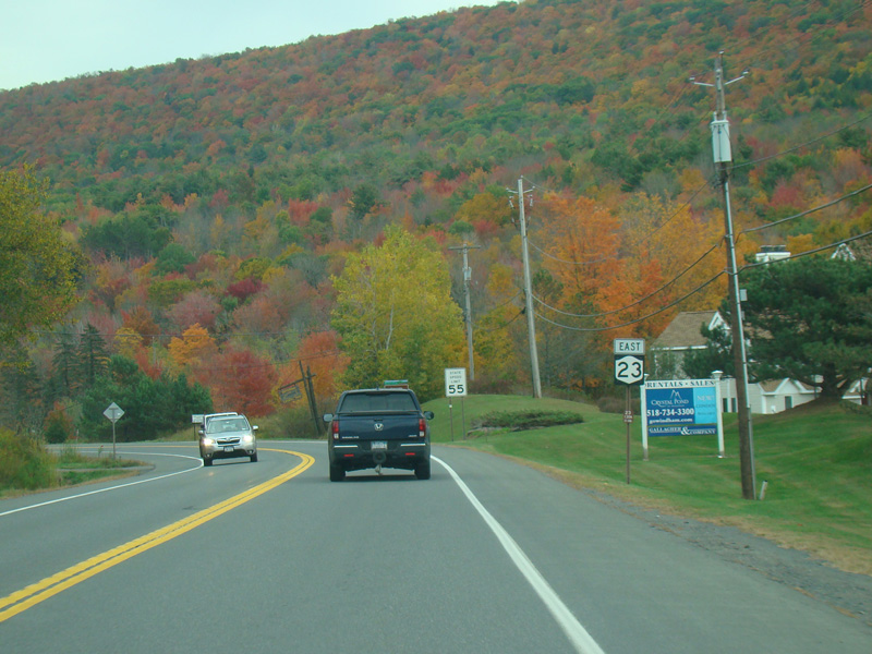
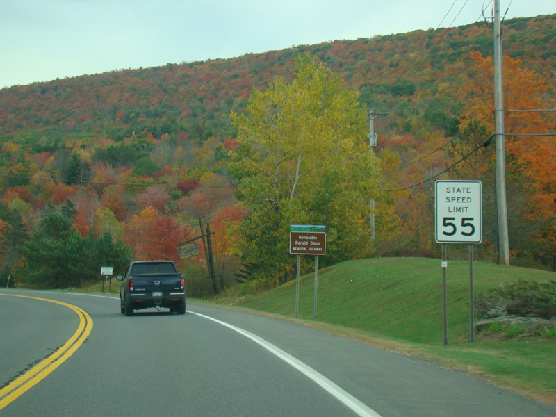
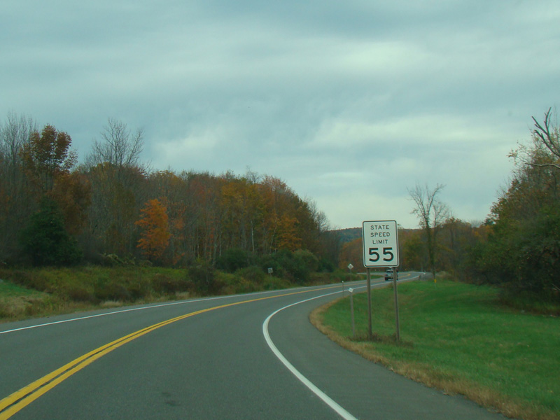
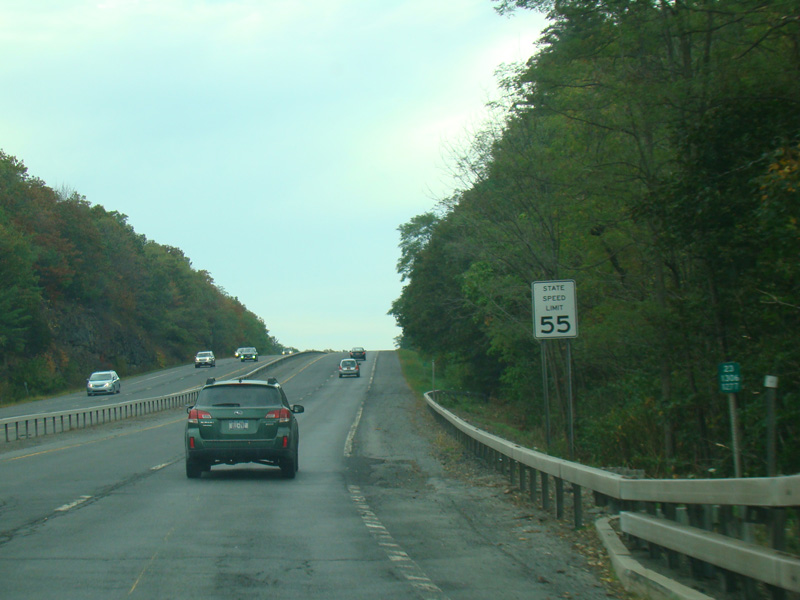
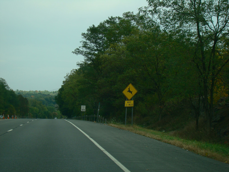
Heading out of town, the speed limit goes back up to 55 MPH.
Photos taken October 2017.
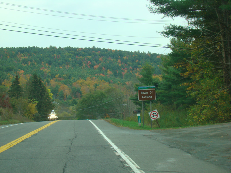
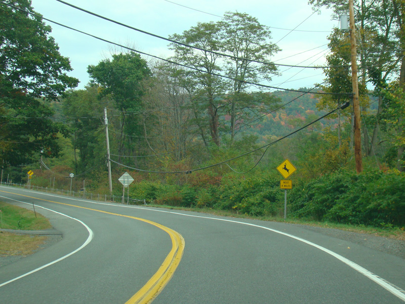
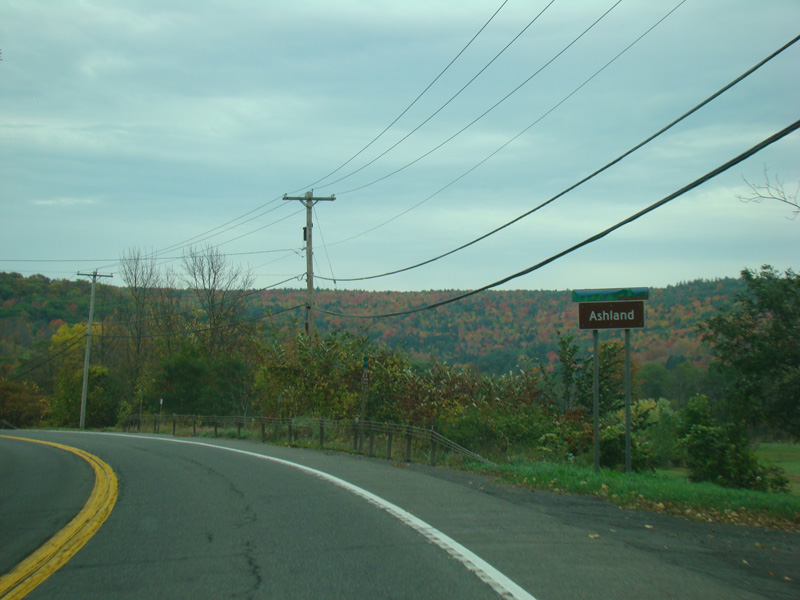
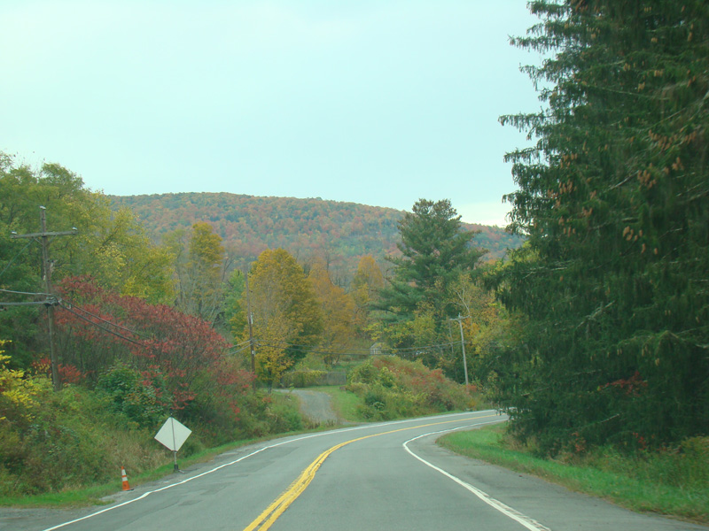
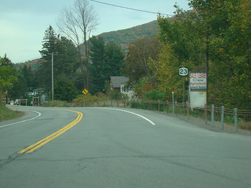
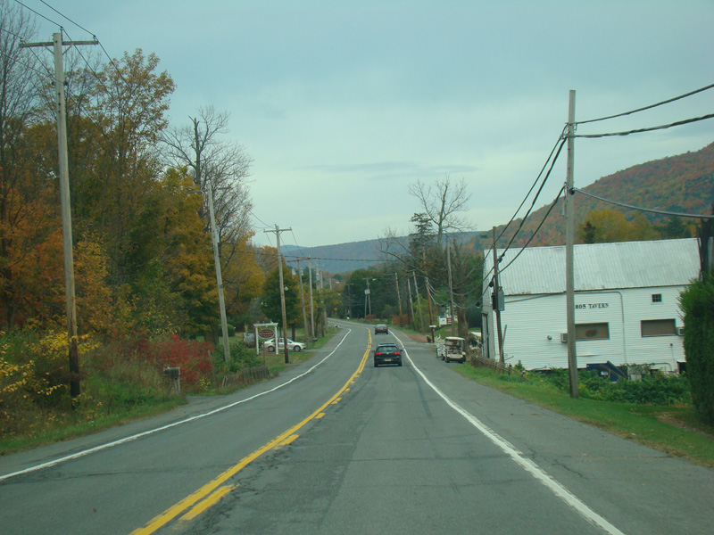
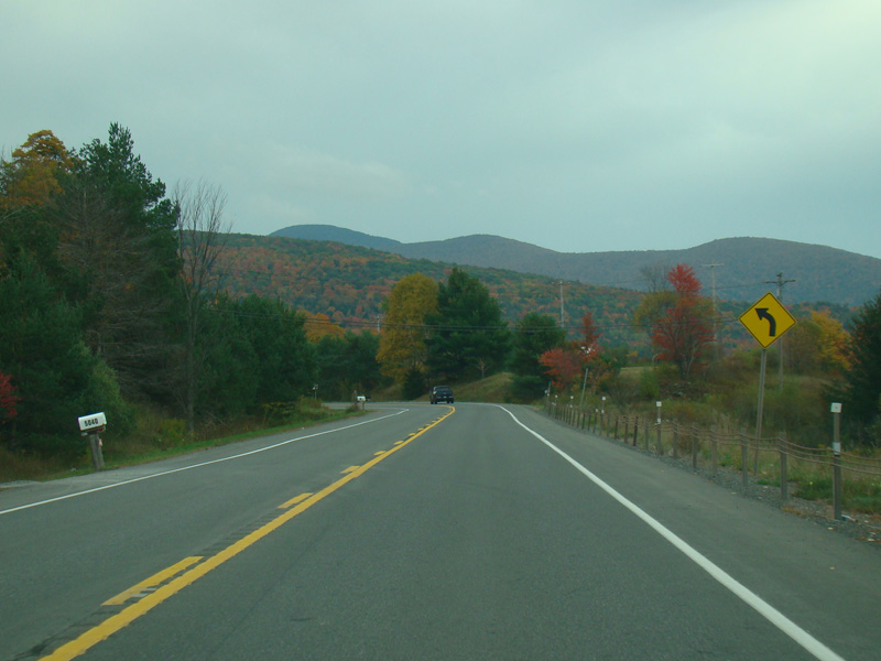
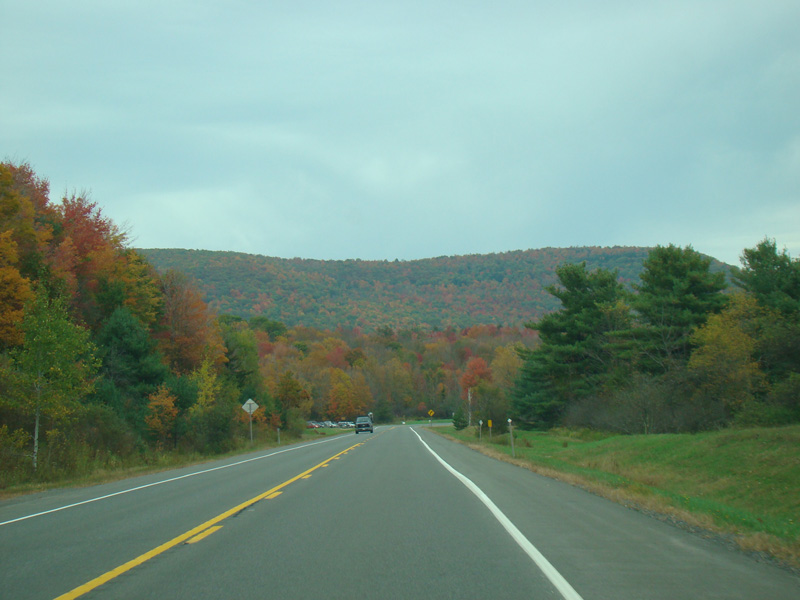
Welcome to the Town of Ashland!
Photos taken October 2017.
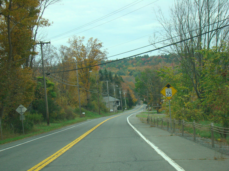
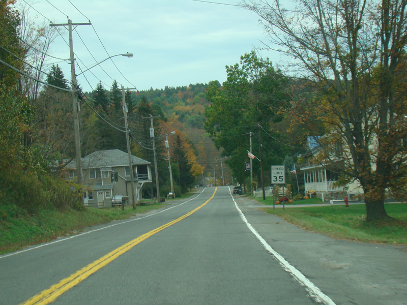
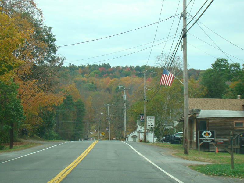
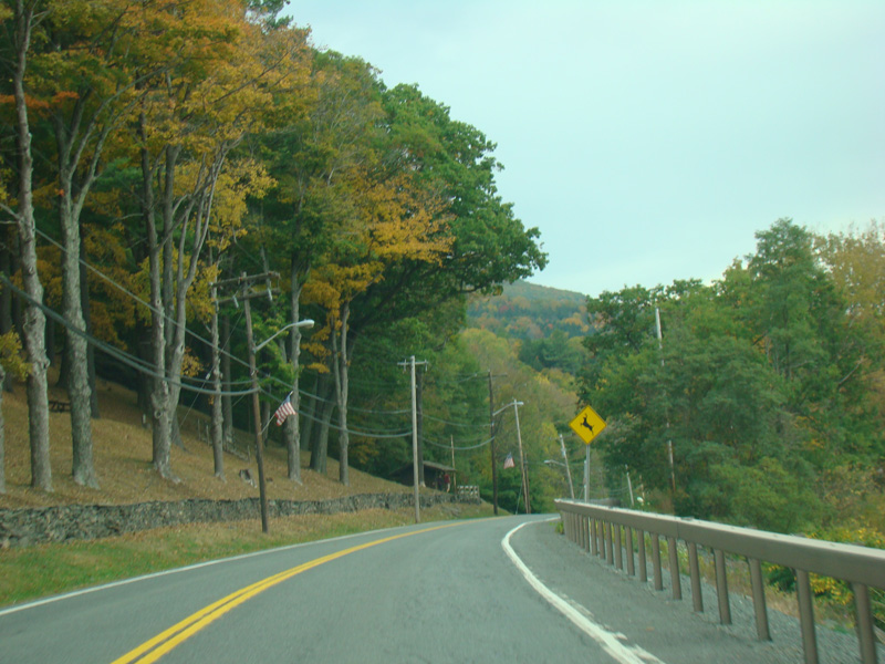
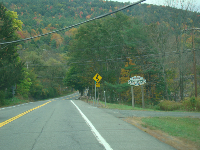
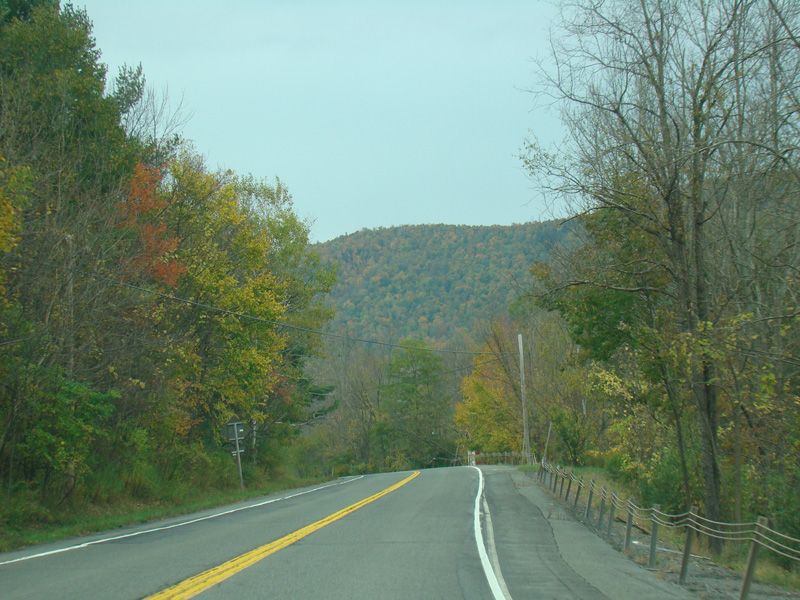
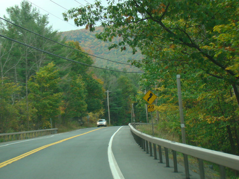
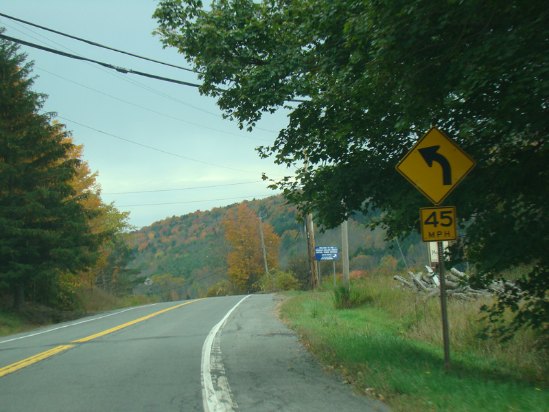
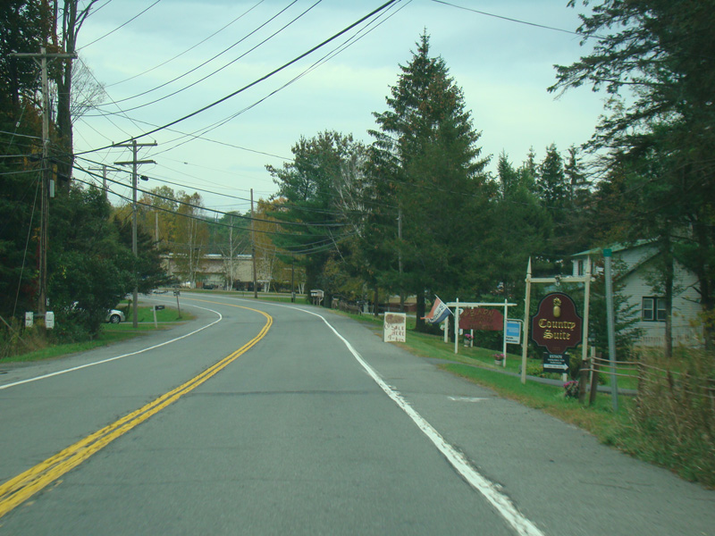
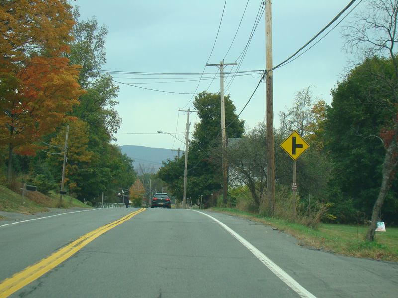
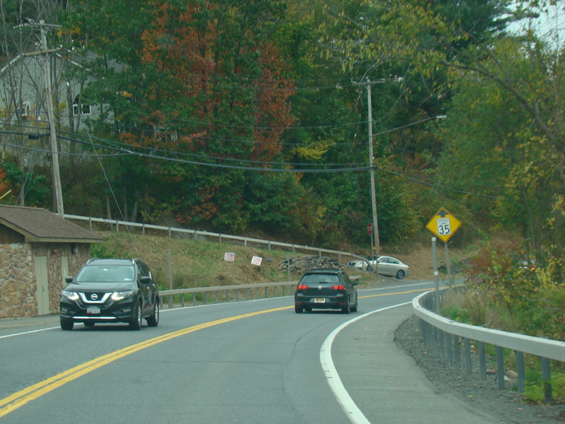
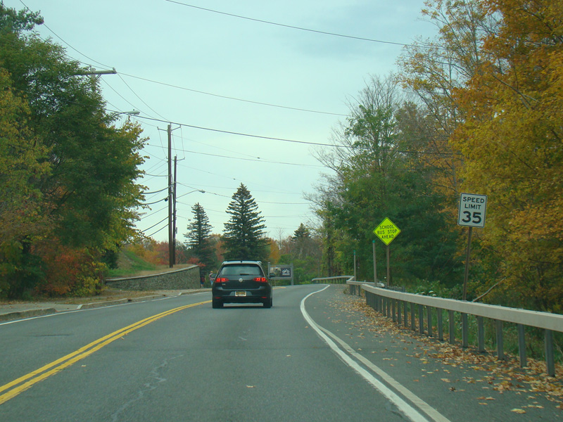
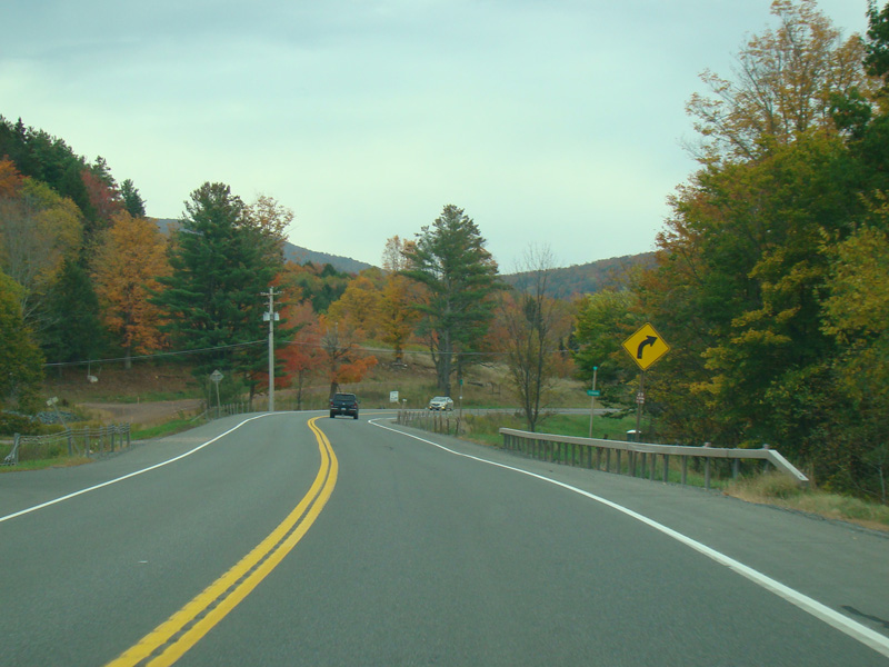
Passing through Ashland, the speed limit drops to 35 MPH.
Photos taken October 2017.
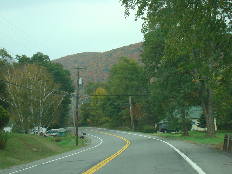
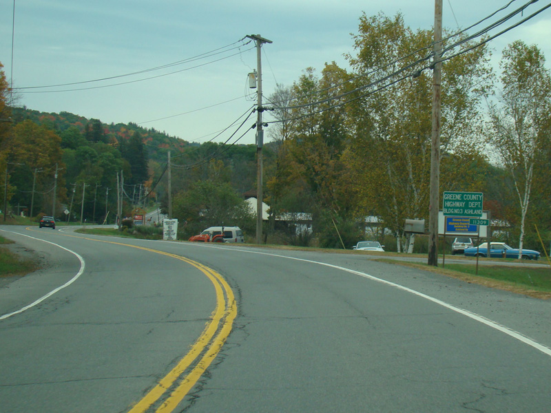
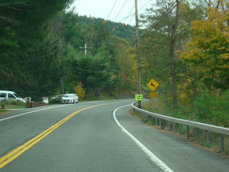
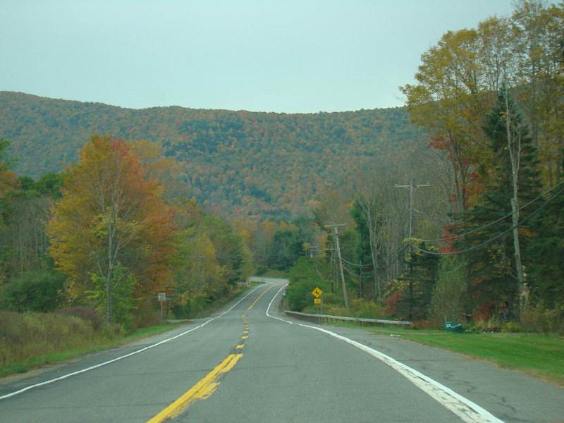
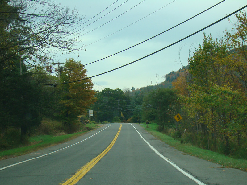
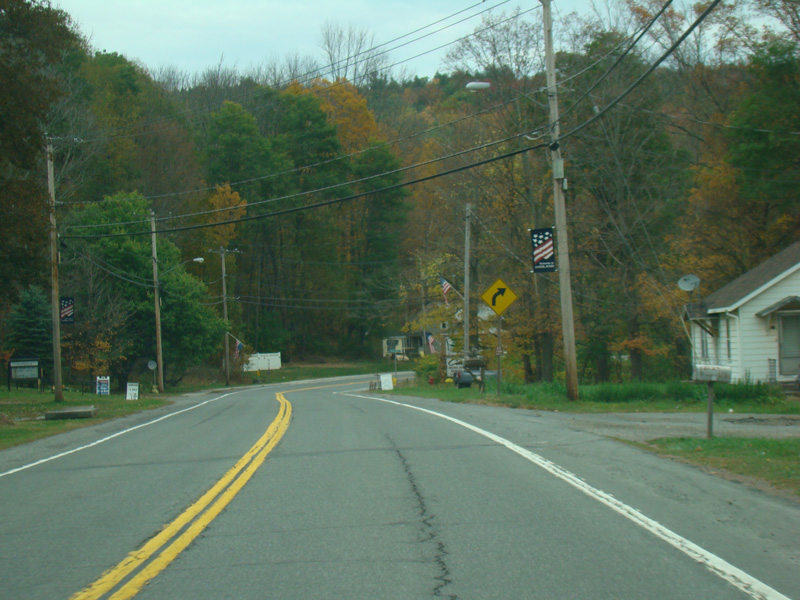
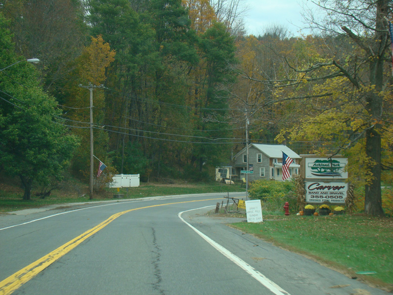
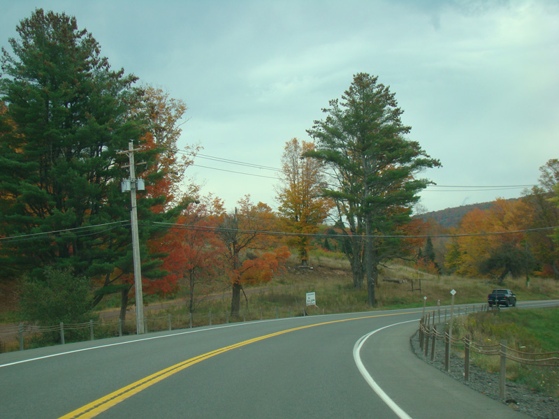
Heading out of town, the speed limit goes back up to 55 MPH.
Photos taken October 2017.
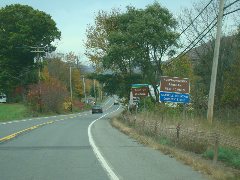
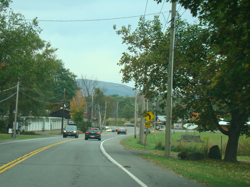
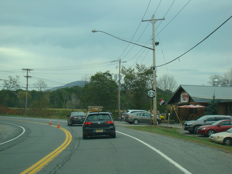
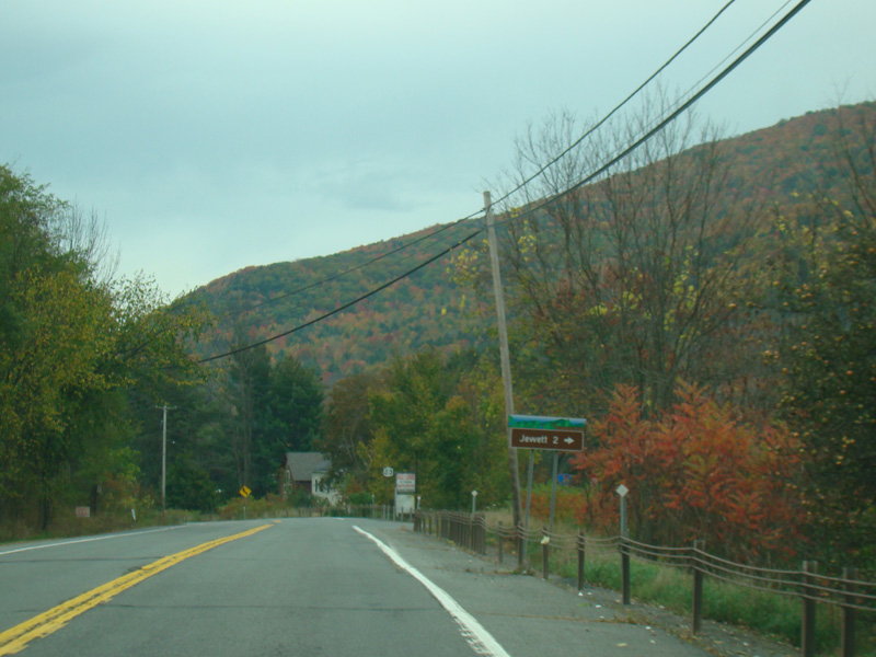
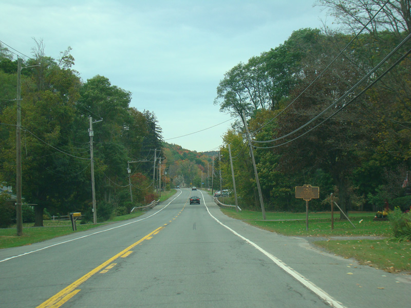
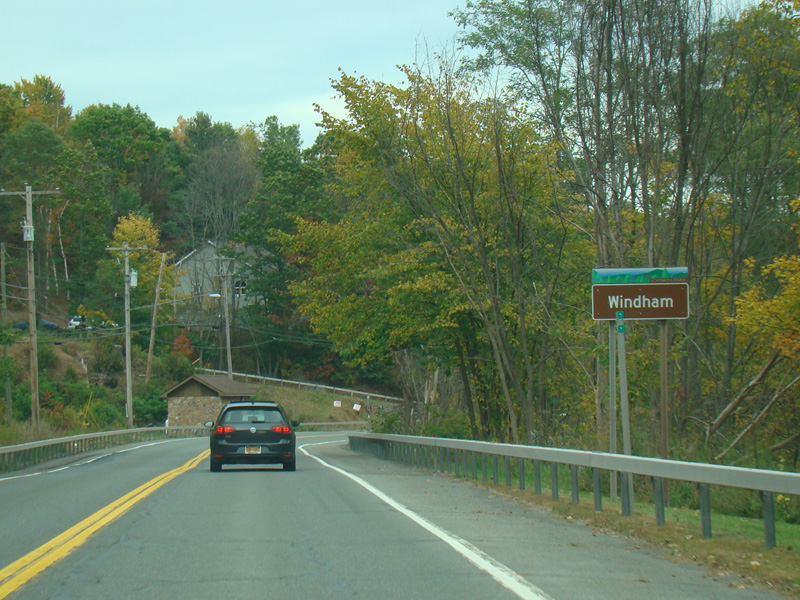
Welcome to the Town of Windham!
Photos taken October 2017.
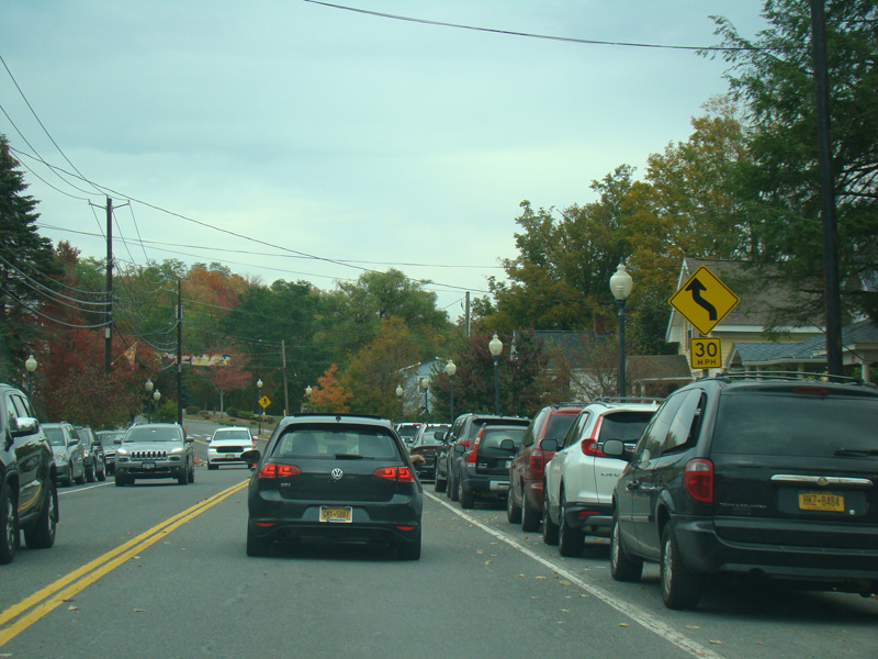
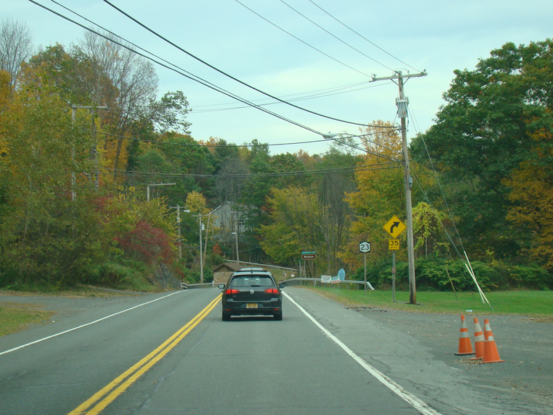
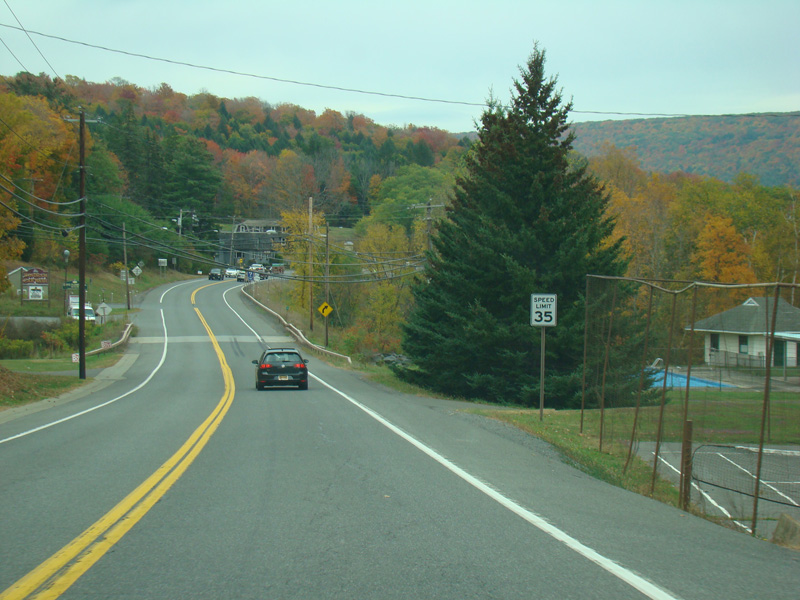
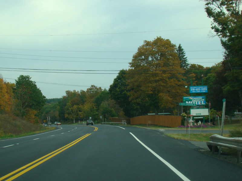
Passing through Windham, the speed limit drops to 35 MPH.
Photos taken October 2017.
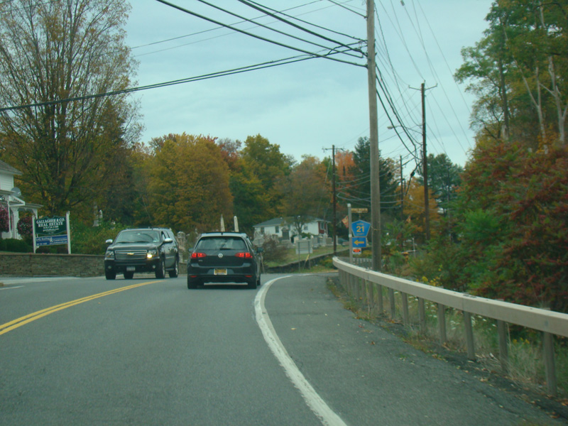
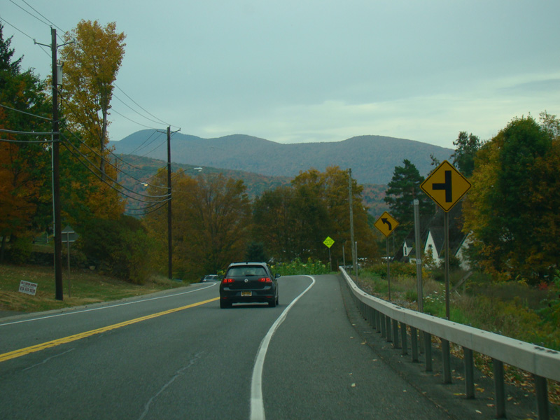
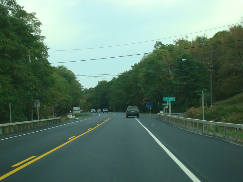
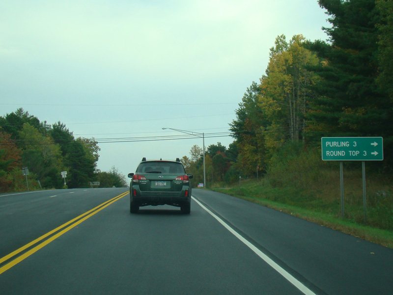
Mitchell Hollow Road (CR 21) begins on the left.
Photo taken October 2017.
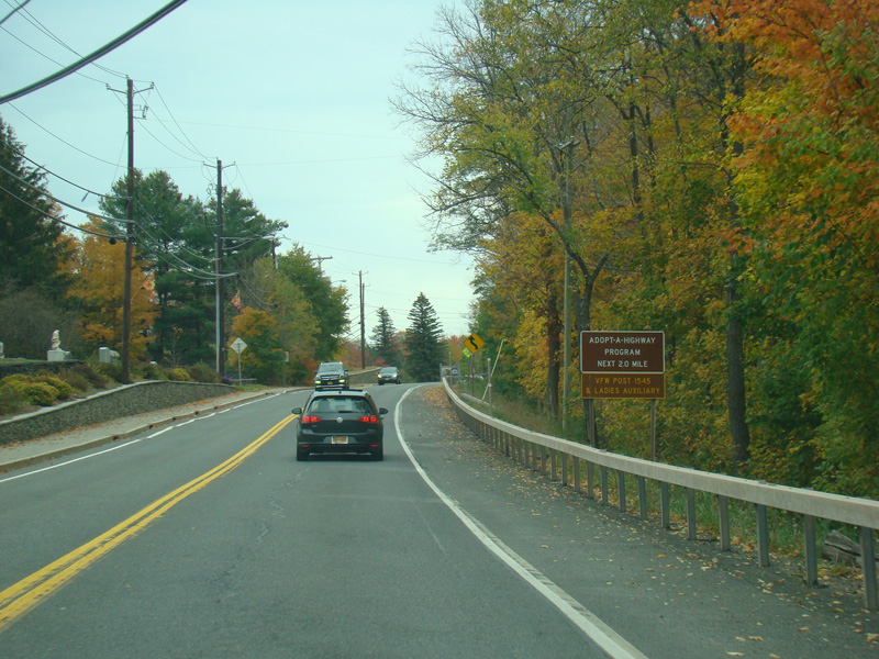
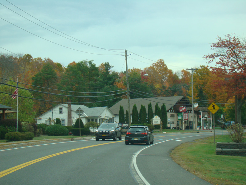
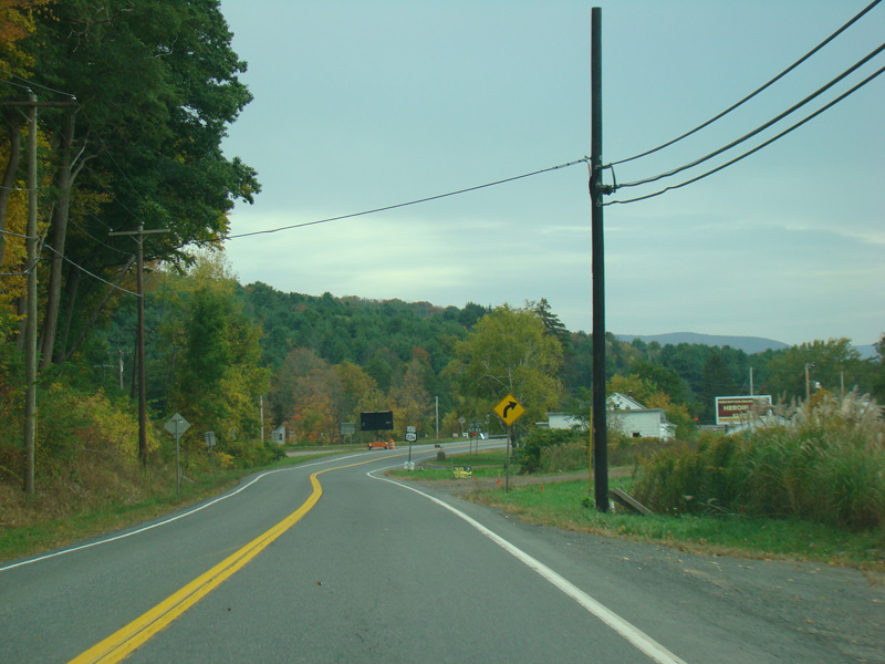
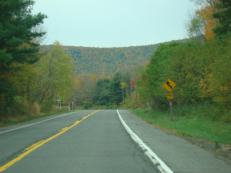
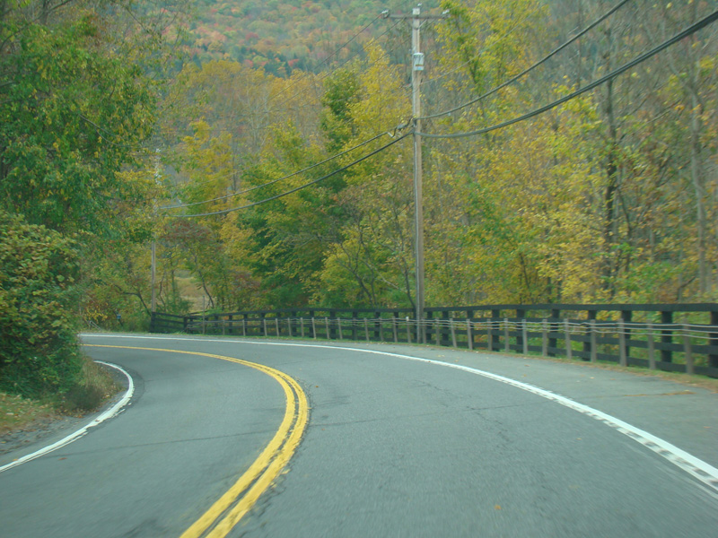
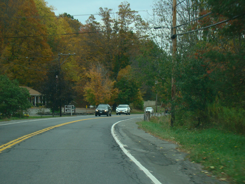
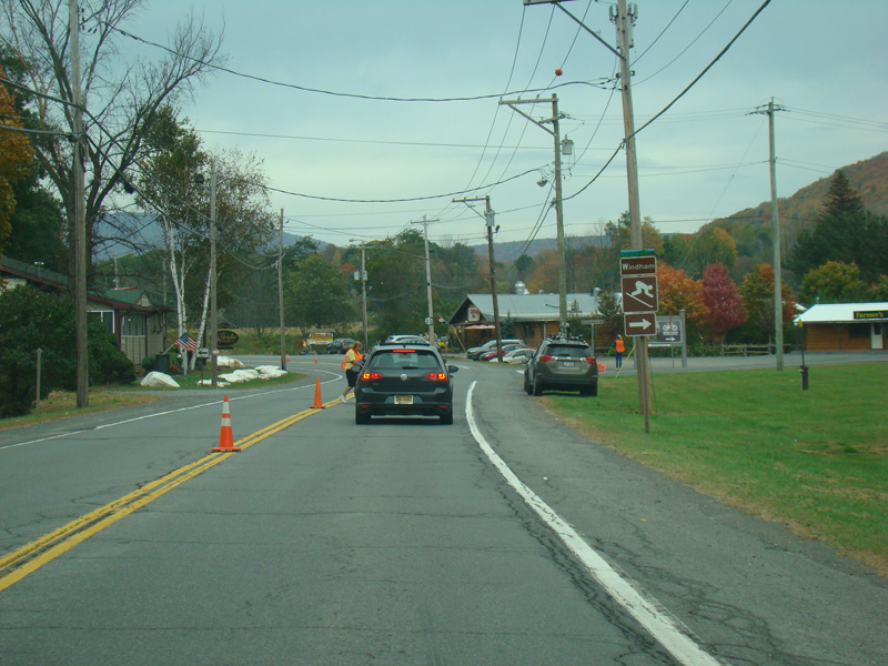
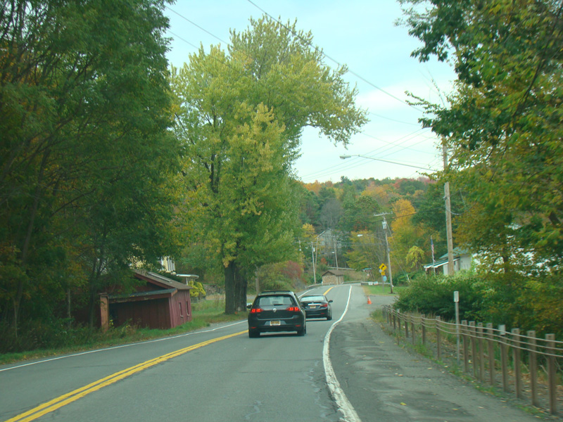
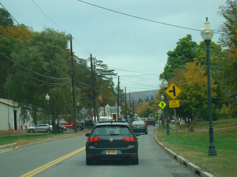
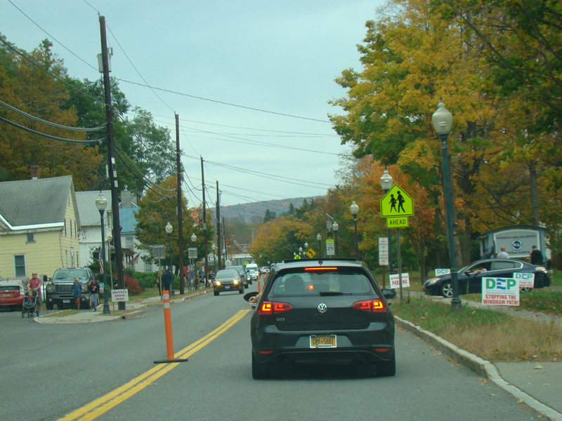
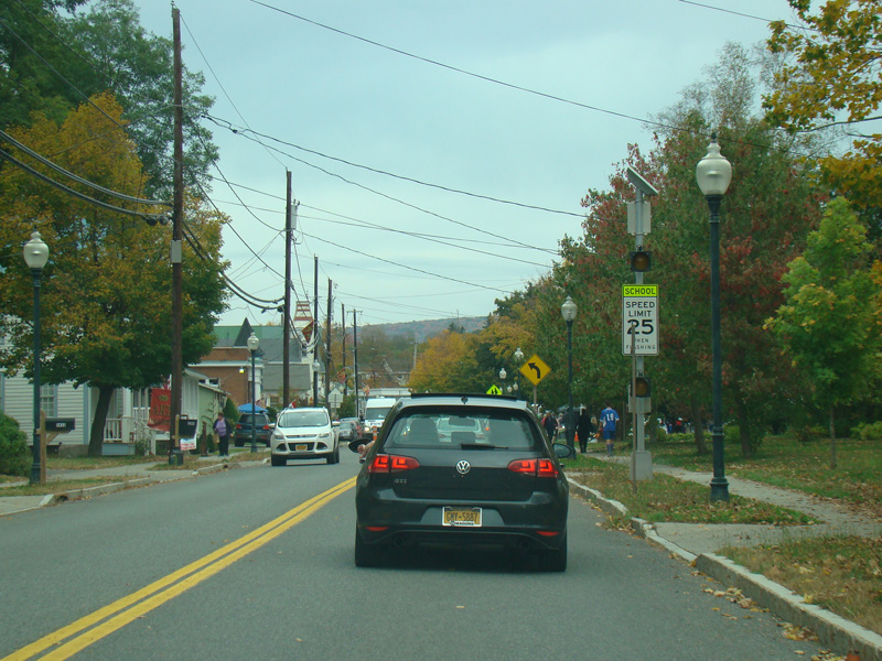
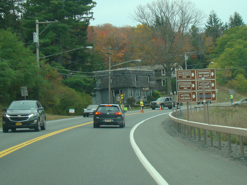
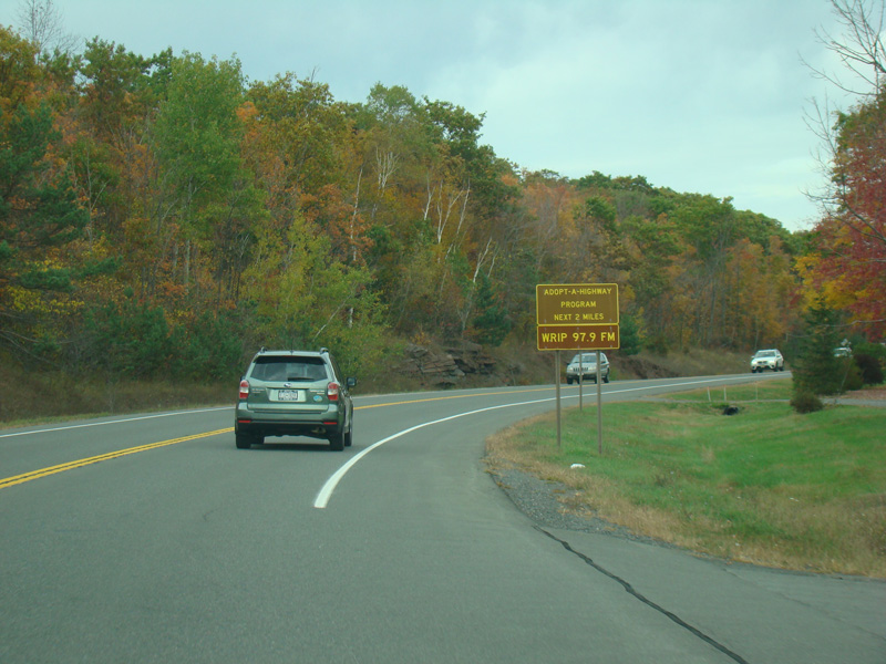
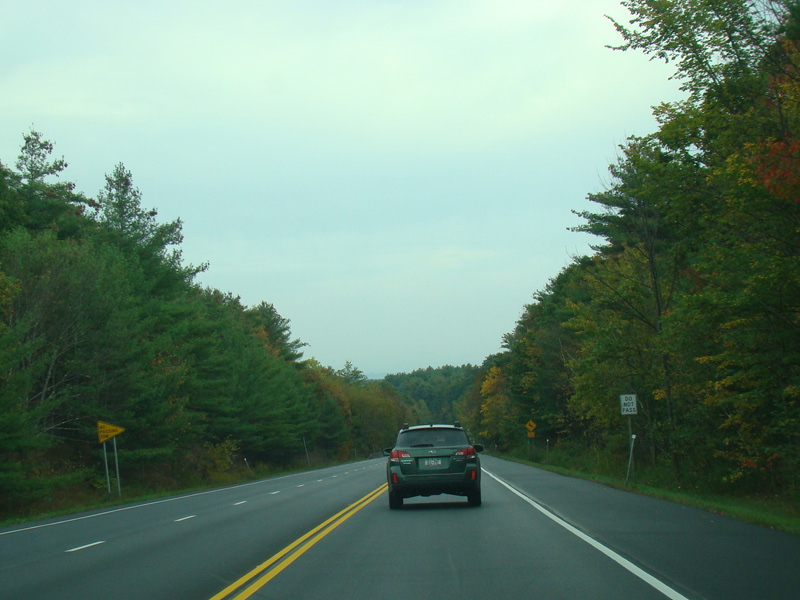
NY 23 continues east through Windham.
Photos taken October 2017.
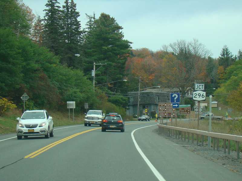
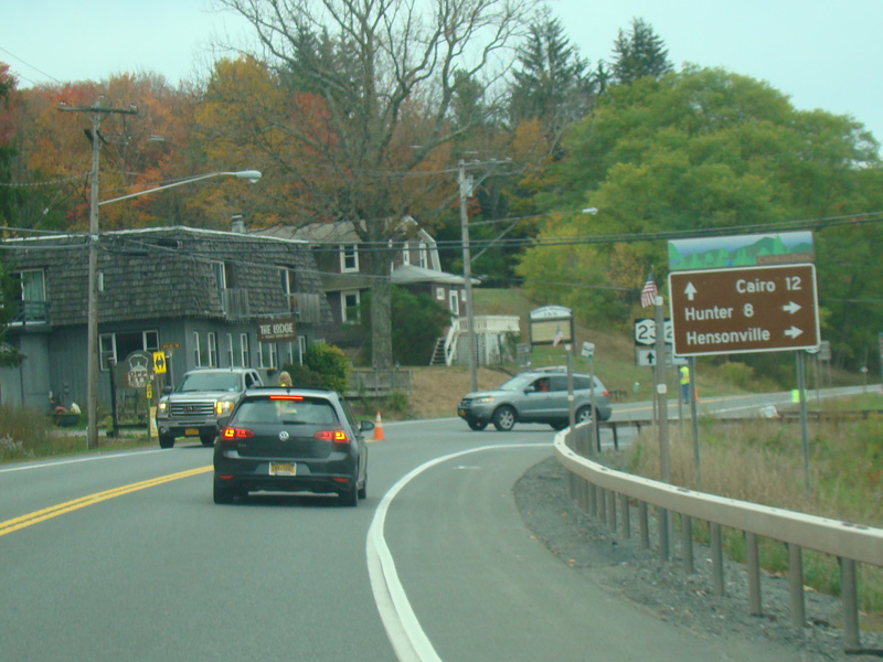
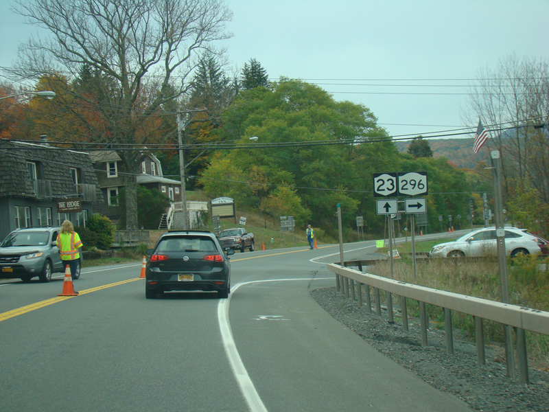
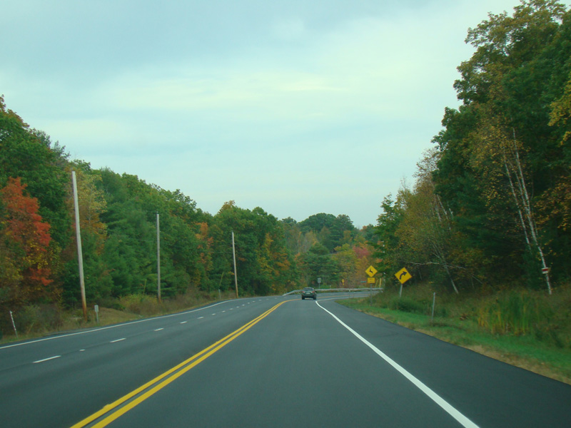
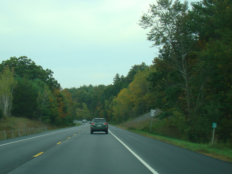
NY 296 begins on the right.
Photos taken October 2017.
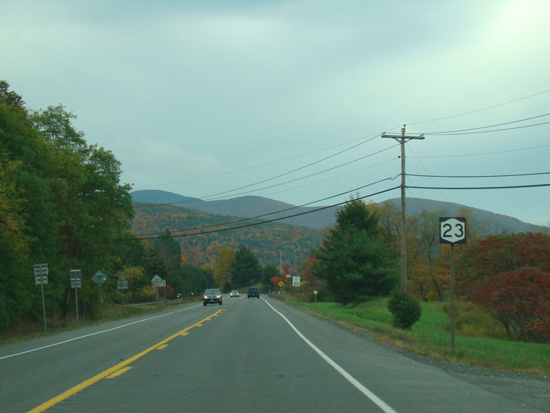
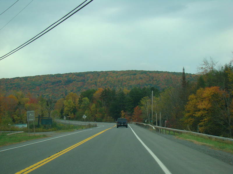
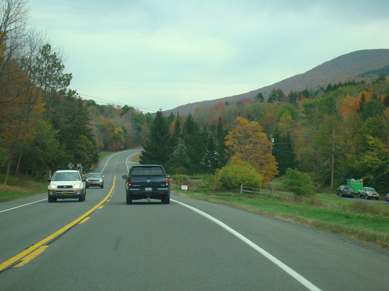
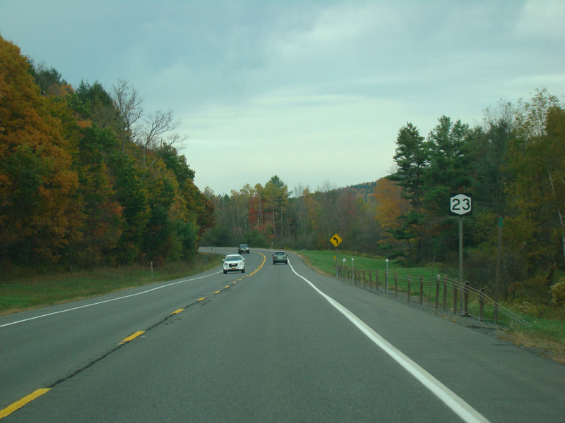
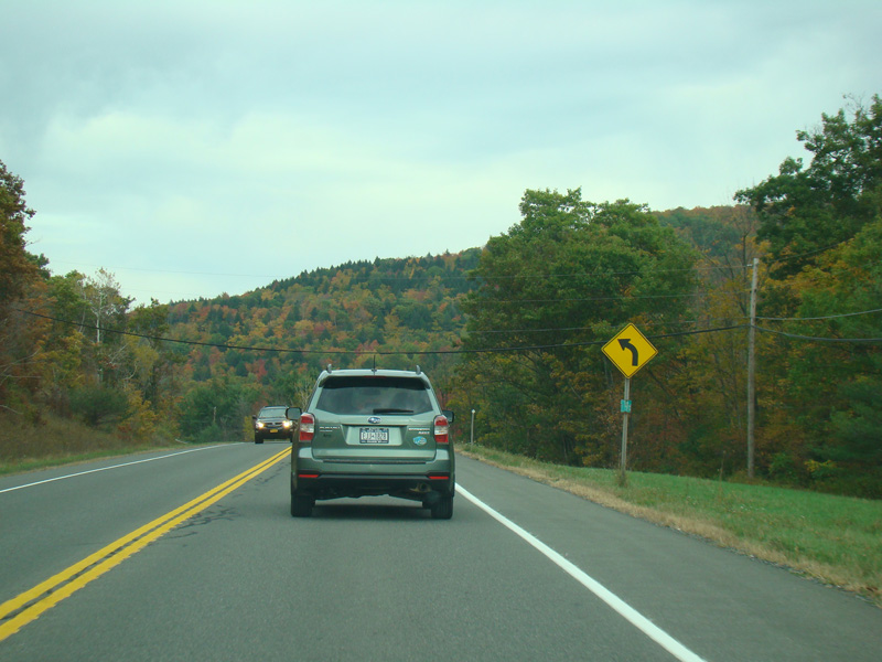
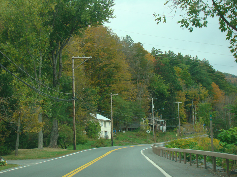
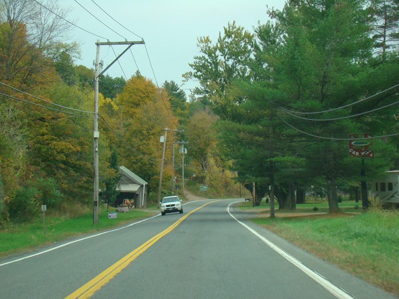
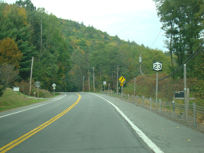
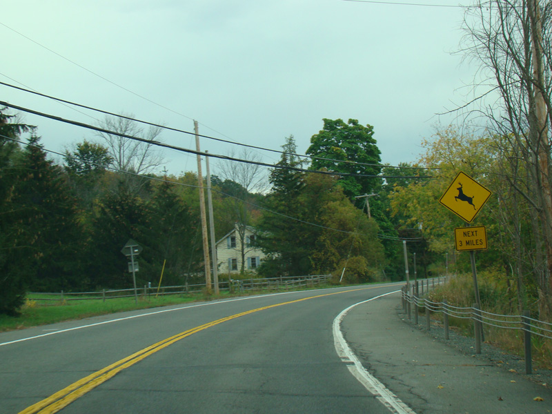
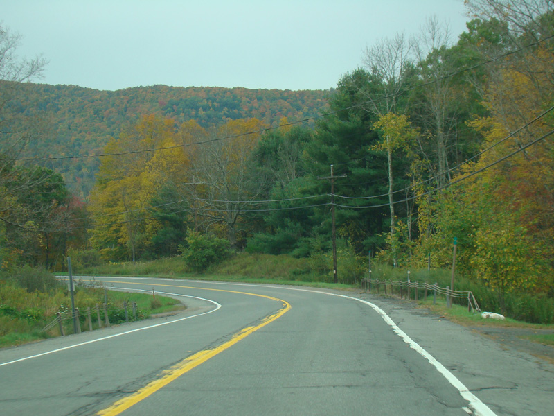
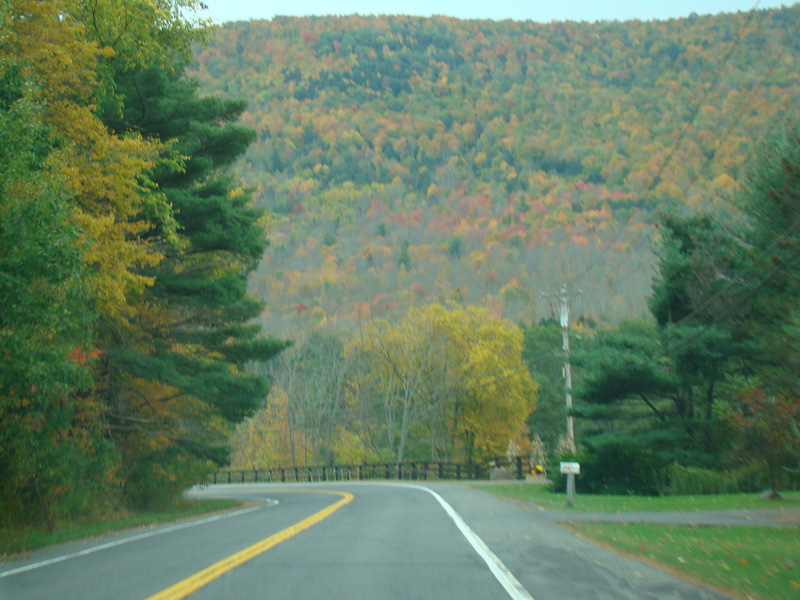
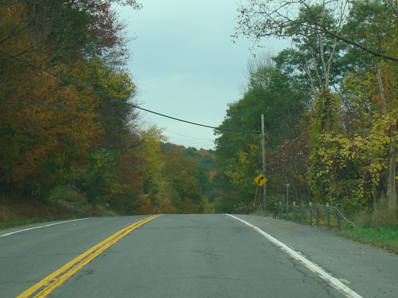
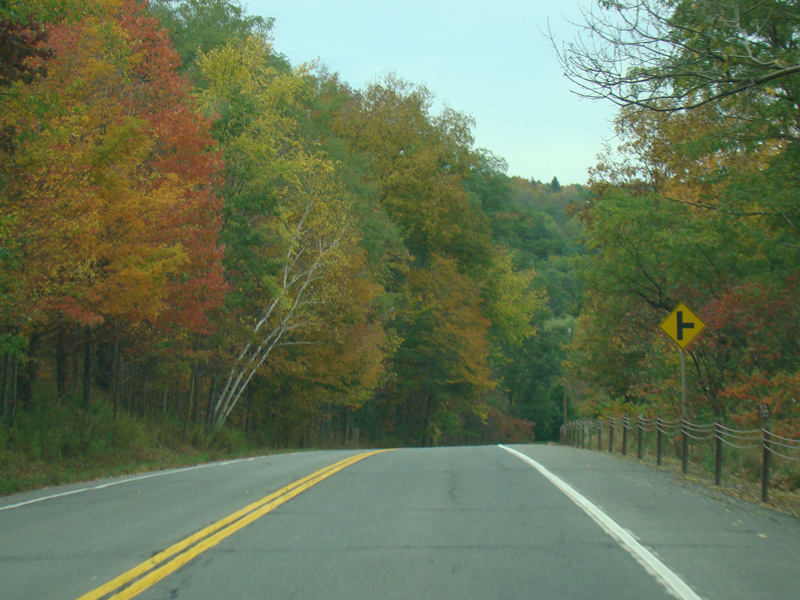
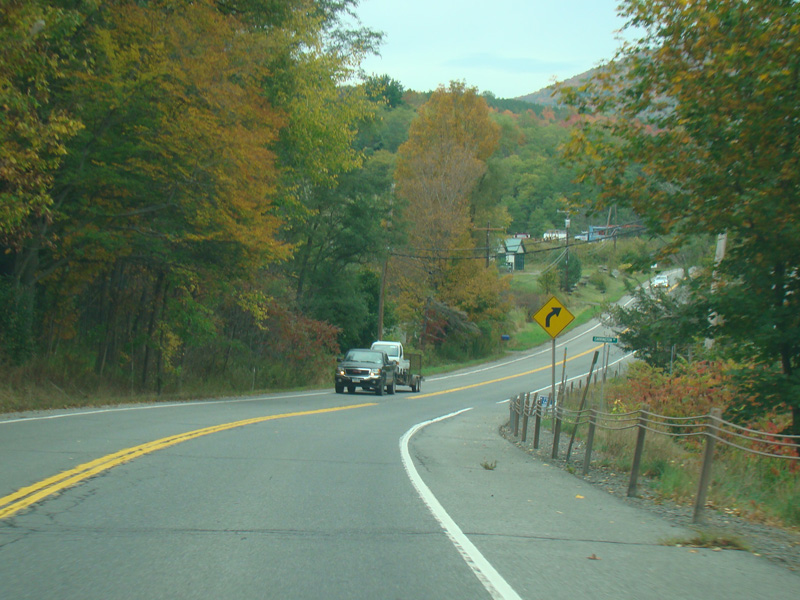
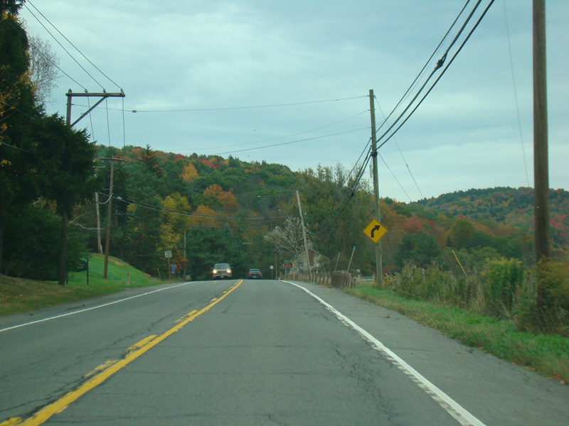
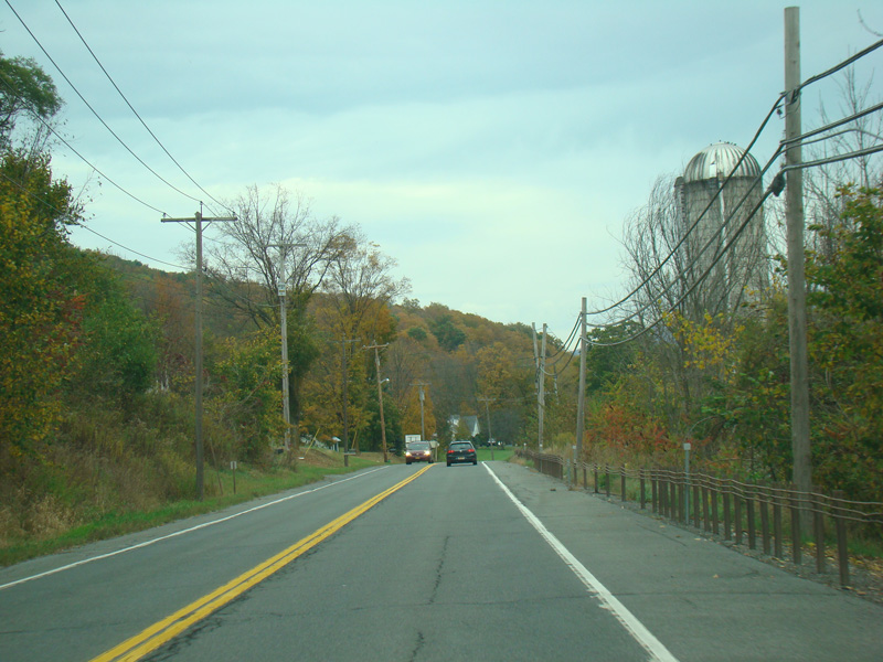
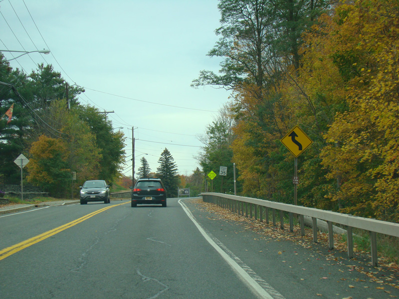
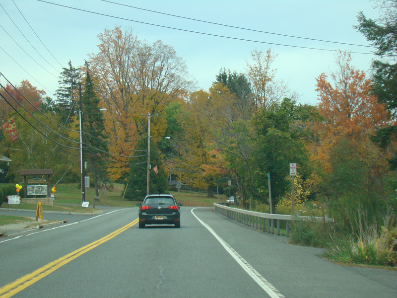
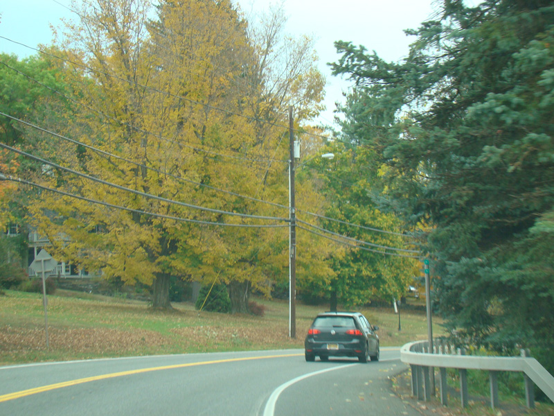
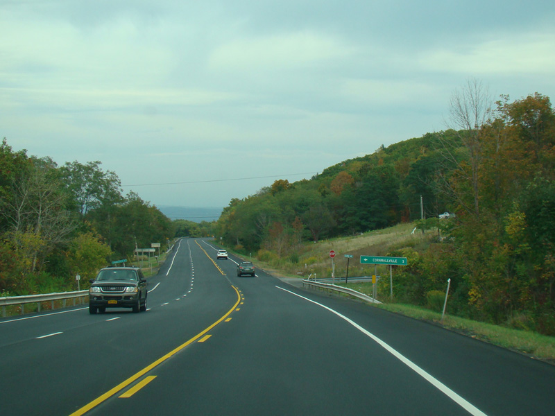
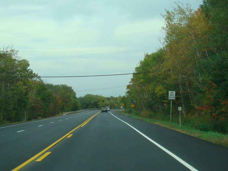
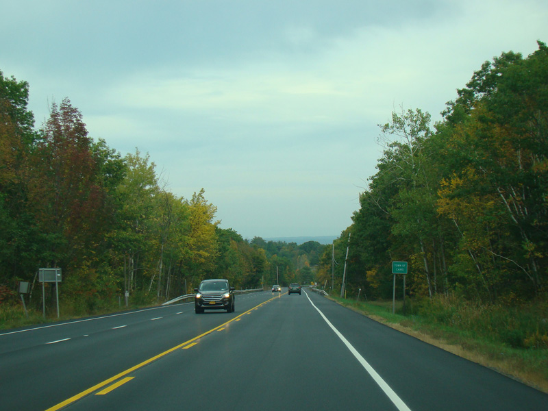
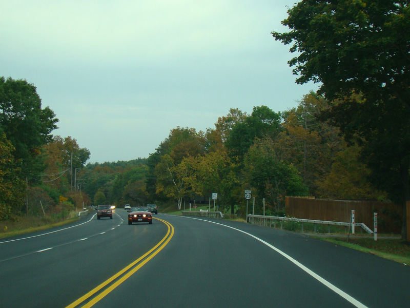
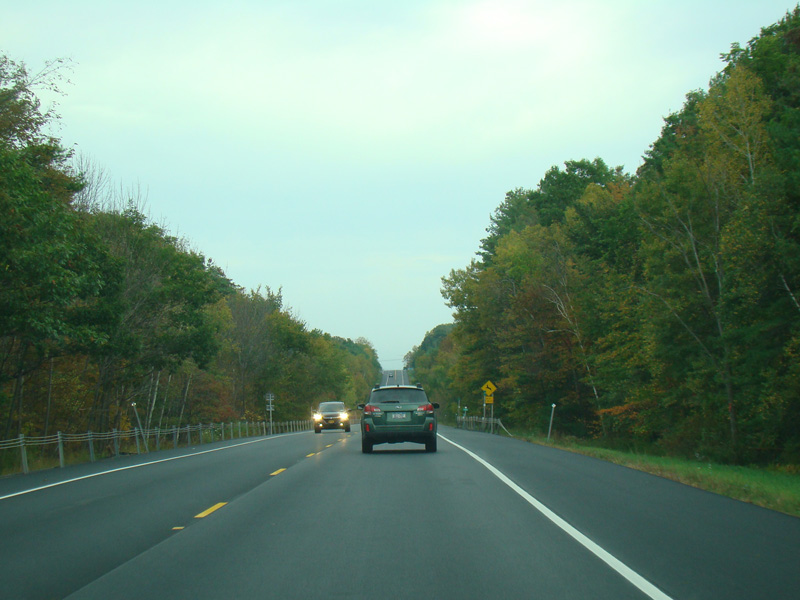
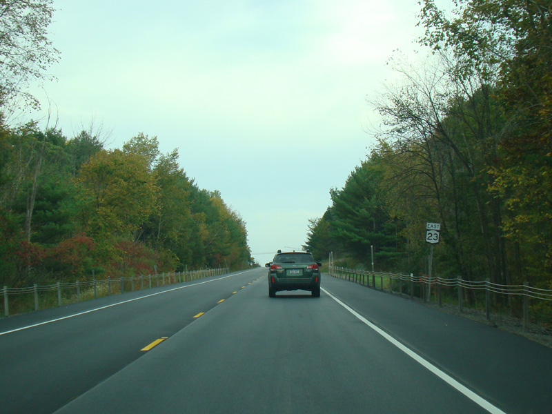
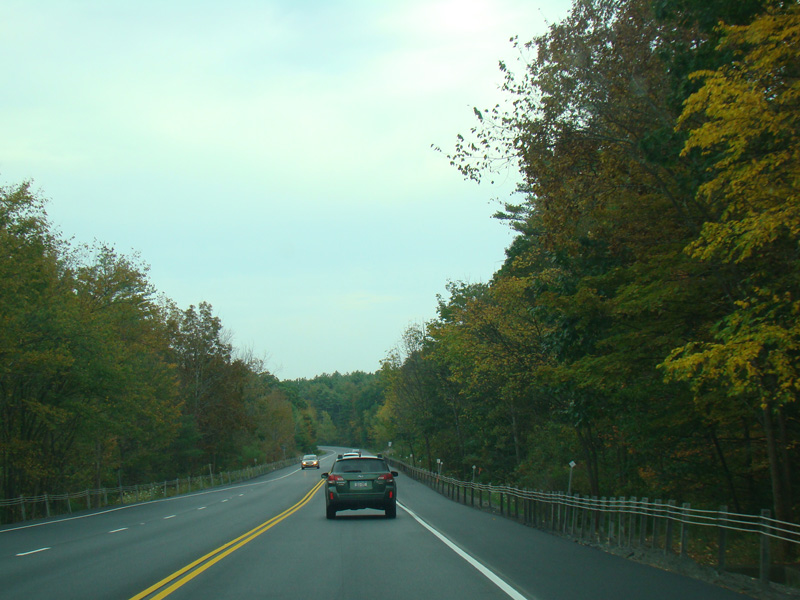
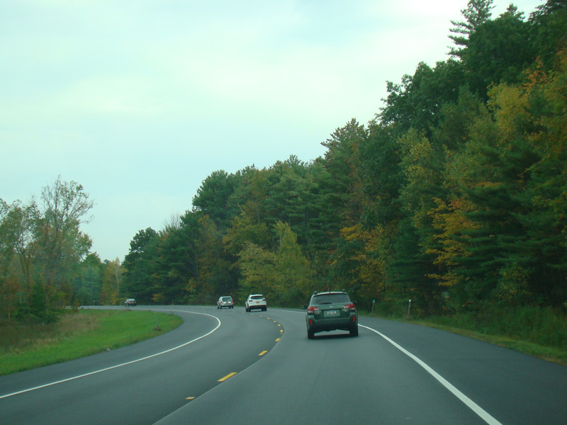
NY 23 continues east as a two-lane undivided road.
Photos taken October 2017.
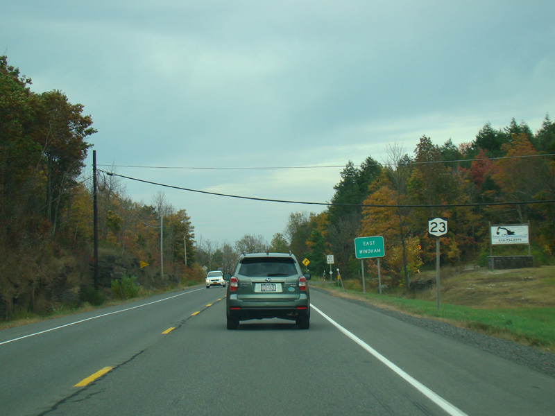
Welcome to East Windham!
Photo taken October 2017.
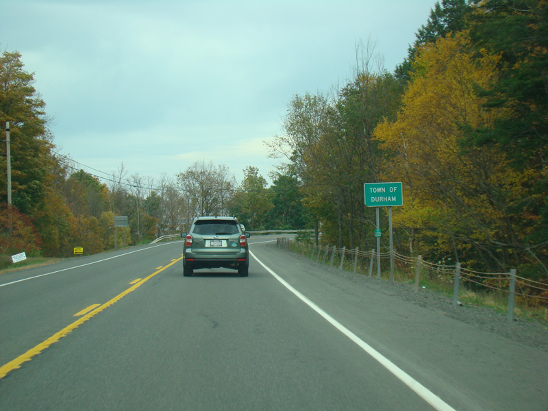
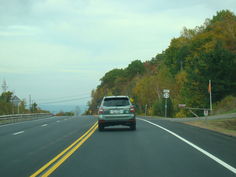
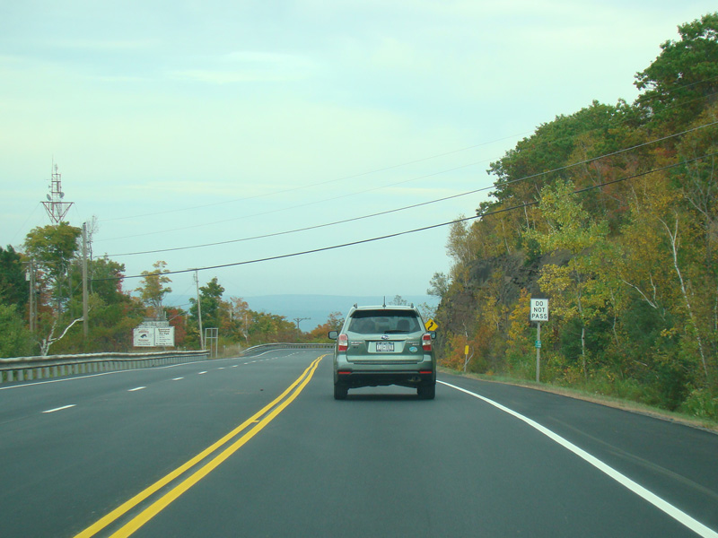
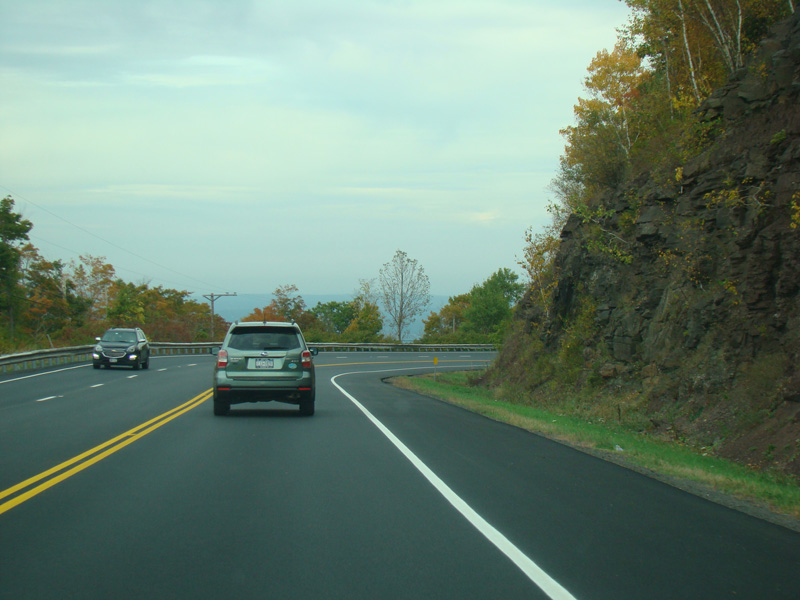
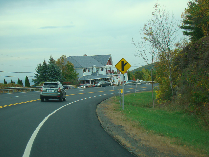
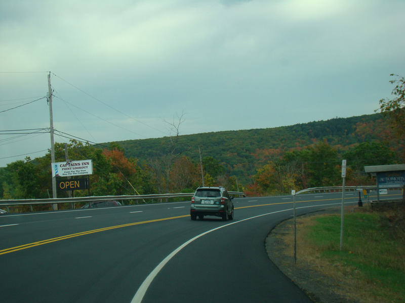
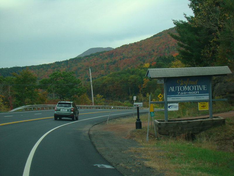
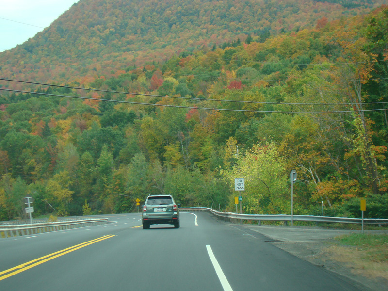
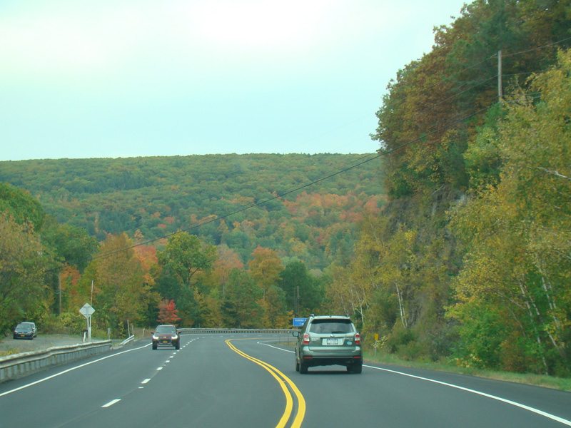
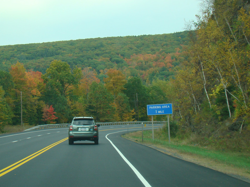
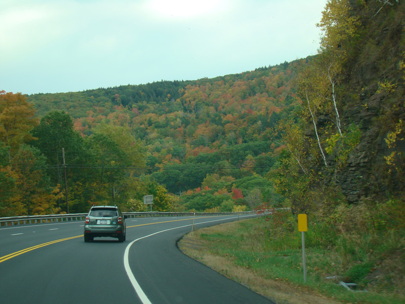
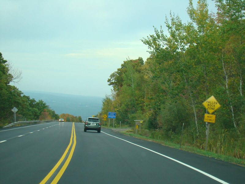
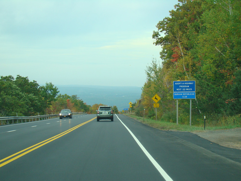
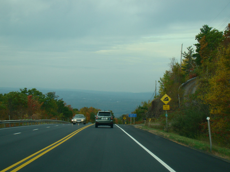
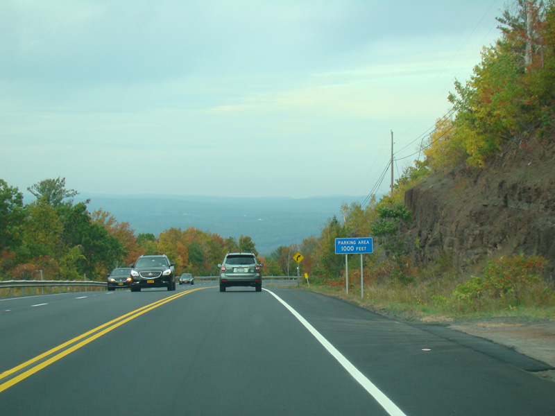
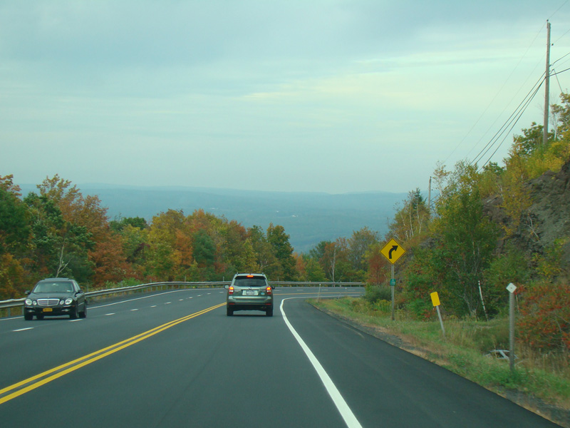
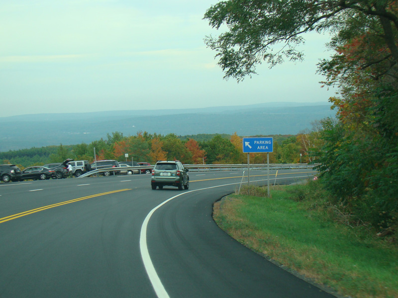
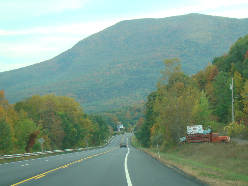
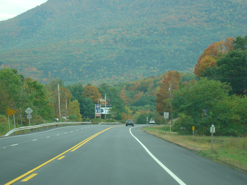
Welcome to the Town of Durham! NY 23 gets a second westbound lane. It gradually descends down into the valley below over the course of several miles. There is a parking area with a scenic overlook on the left.
Photos taken October 2017.
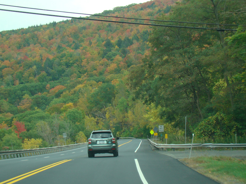
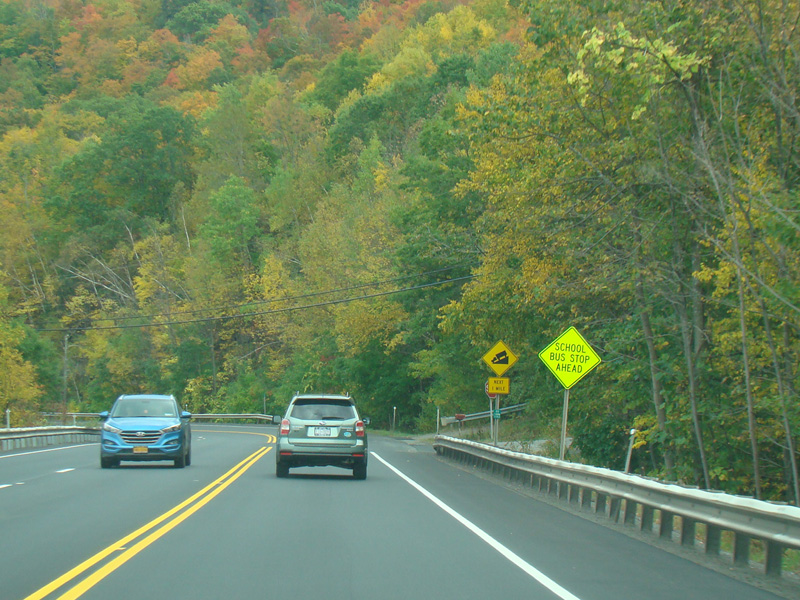
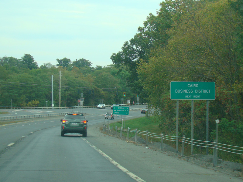
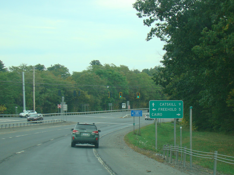
Welcome to the Town of Cairo!
Photos taken October 2017.
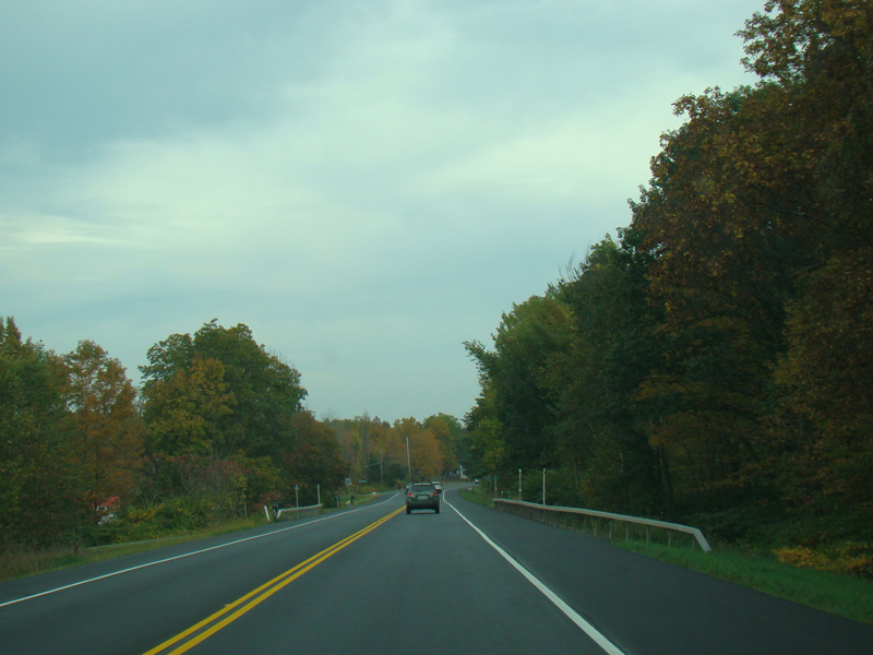
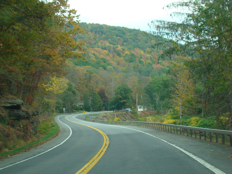
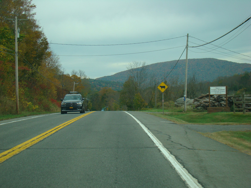
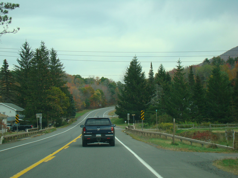
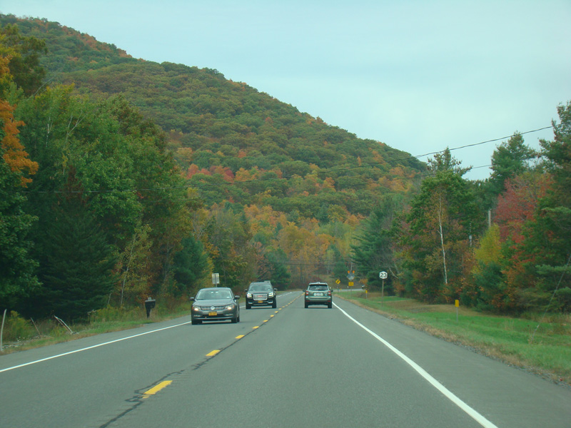
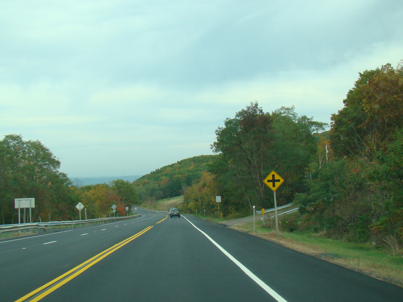
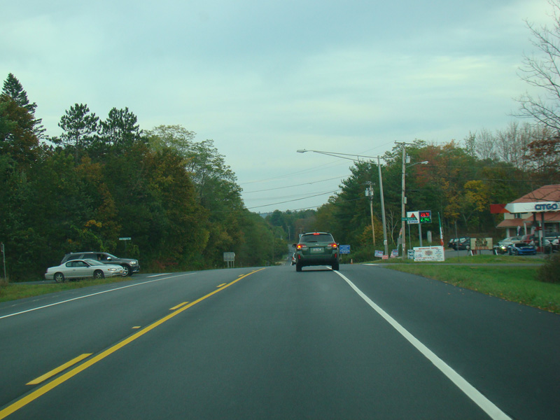
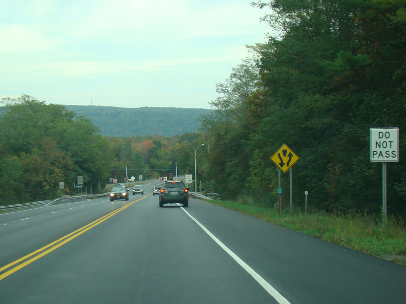
NY 23 narrows back down to two lanes.
Photos taken October 2017.
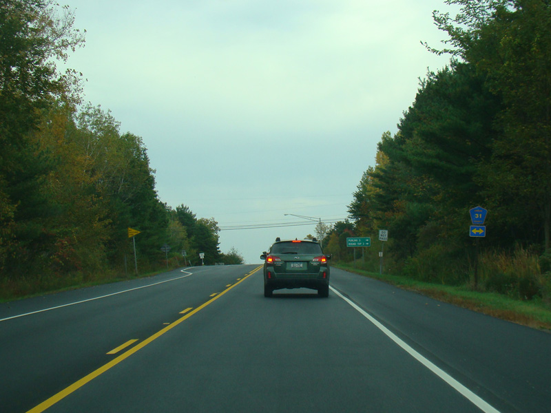
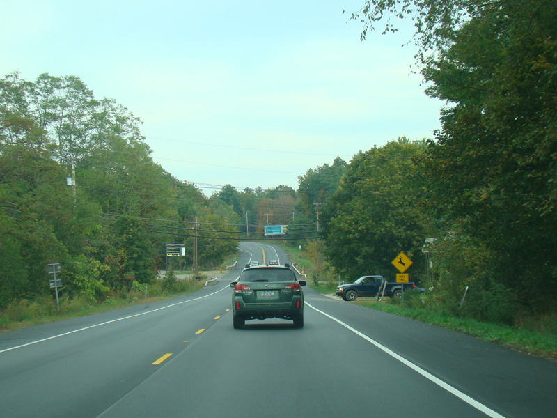
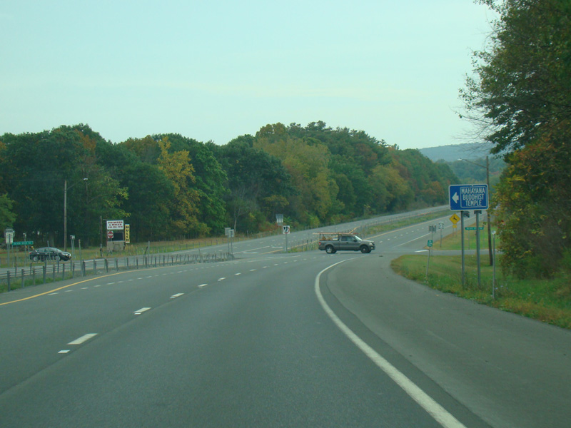
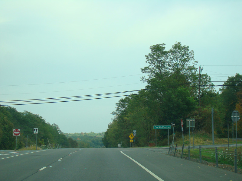
There is an uncontrolled intersection with Hearts Content Road (CR 31).
Photos taken October 2017.
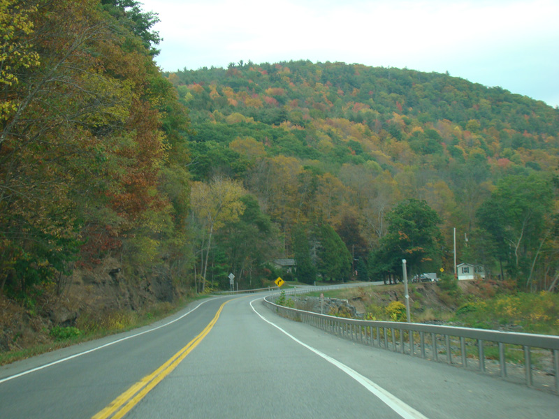
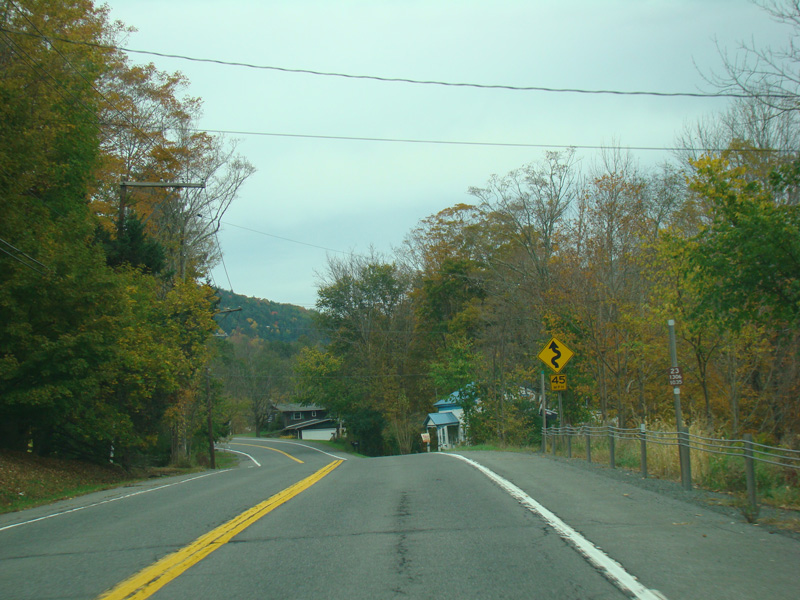
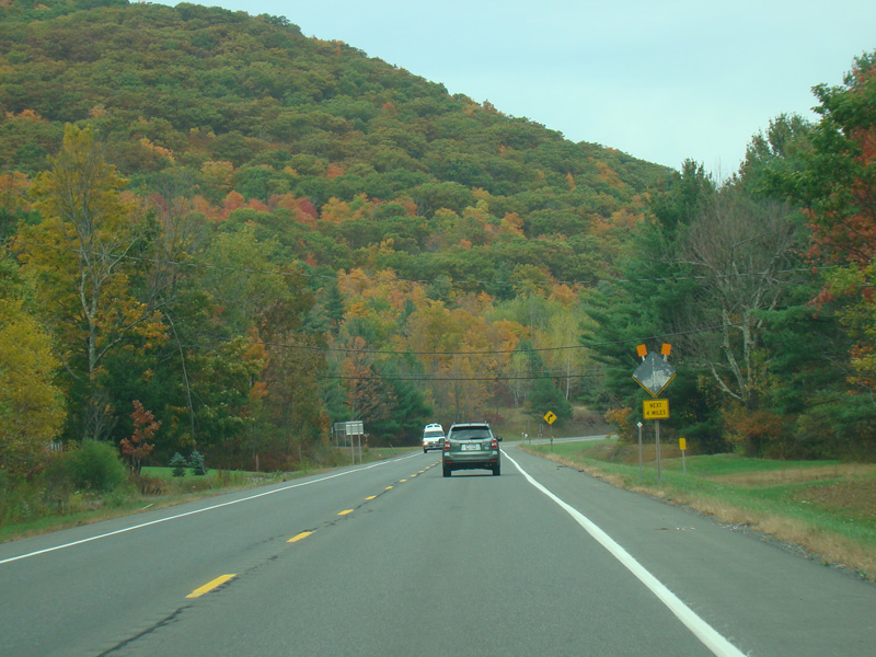
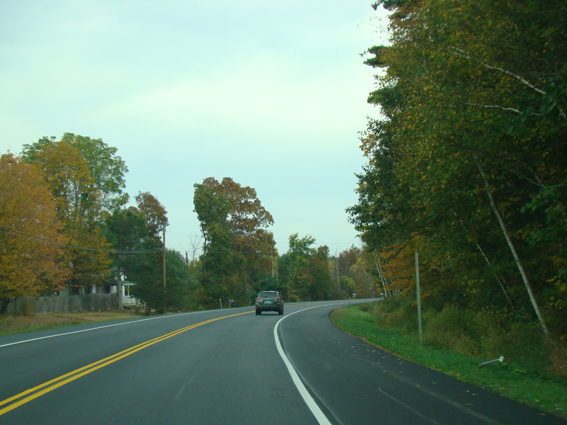
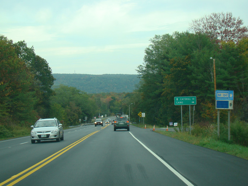
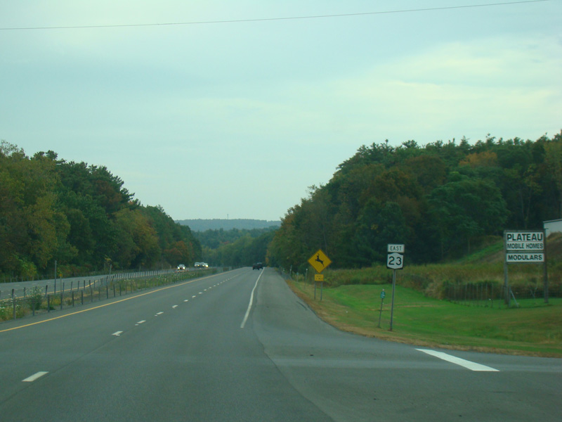
NY 23 narrows down to two lanes.
Photos taken October 2017.
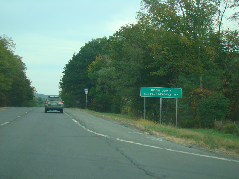
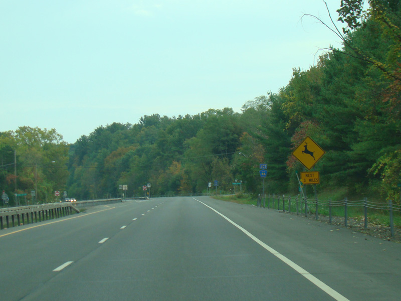
NY 23 widens to become a four-lane divided highway.
Photos taken October 2017.
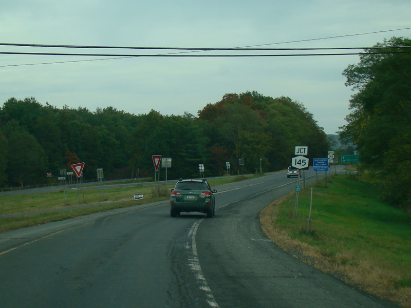
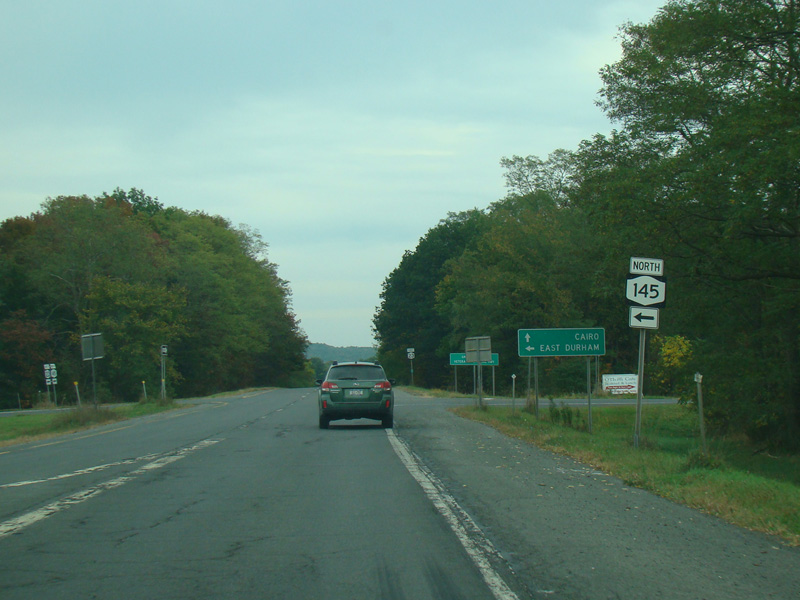
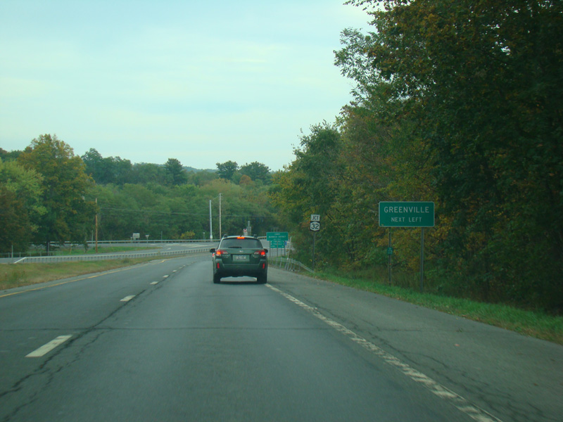
NY 145 begins on the left.
Photos taken October 2017.
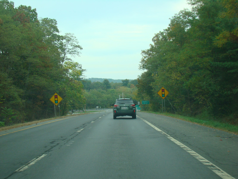
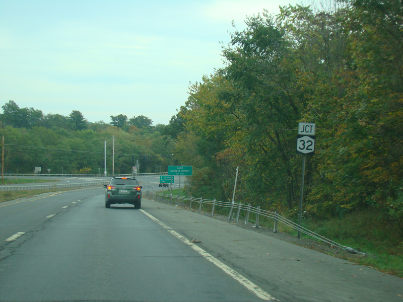
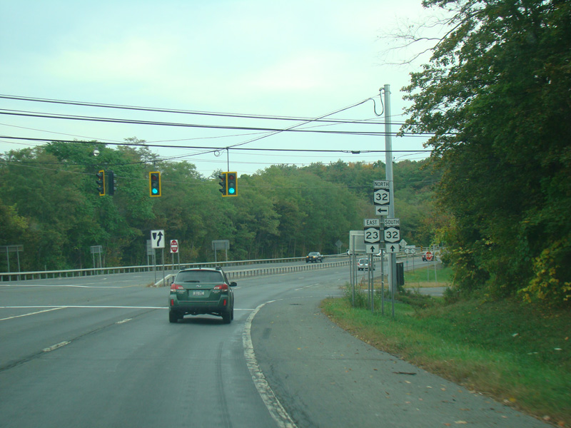
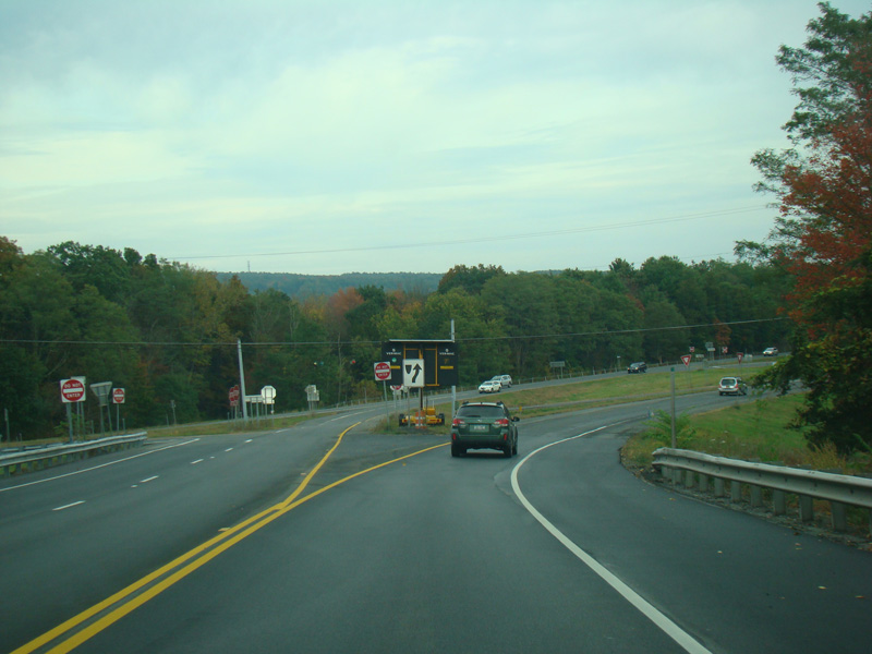
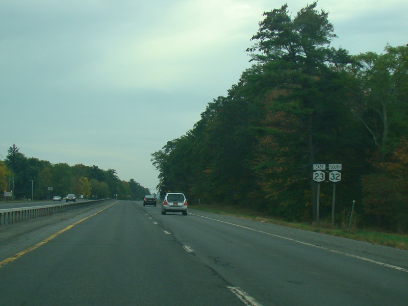
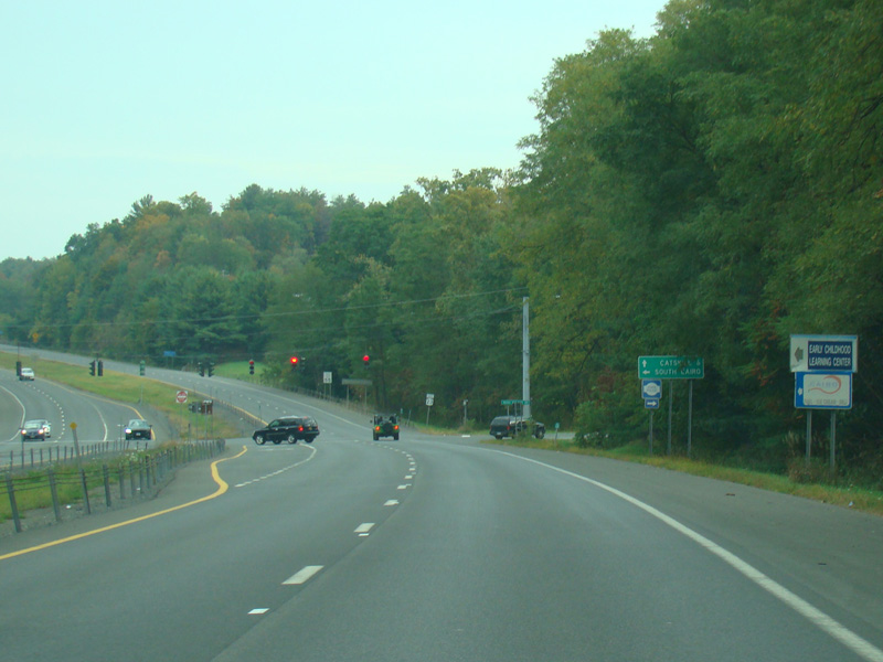
There is a traffic light at NY 32. Turn left to go north. Continue straight ahead to go south and to stay on NY 23.
Photos taken October 2017.
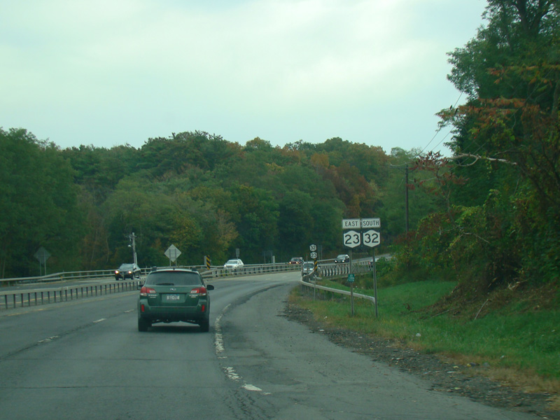
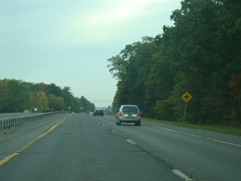
NY 32 is multiplexed with NY 23. There is a small bridge over the Shingle Kill.
Photos taken October 2017.
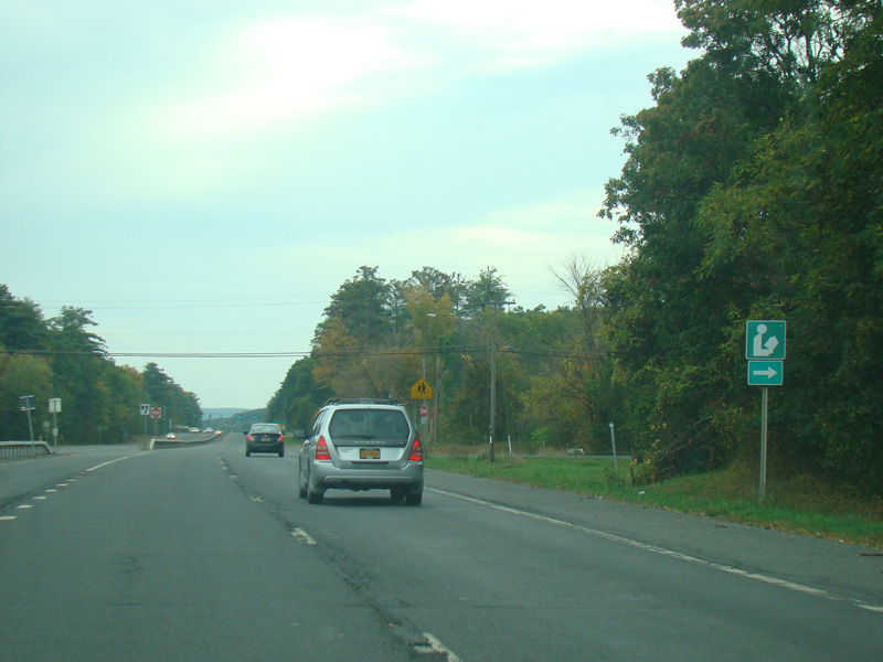
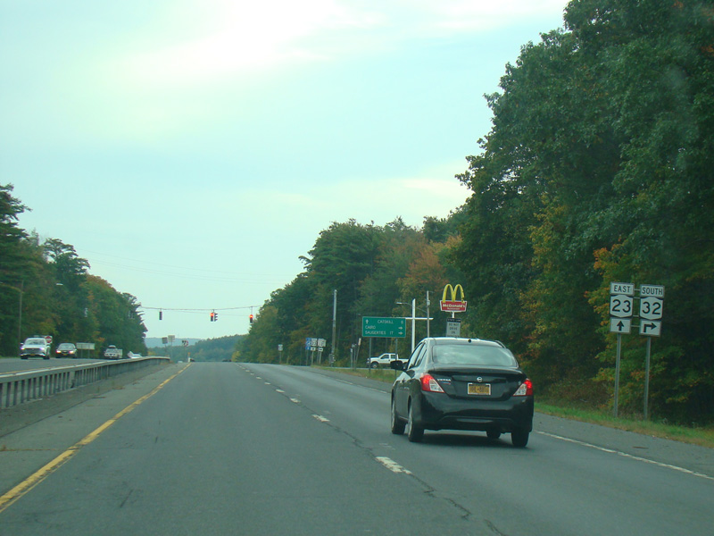
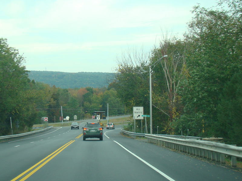
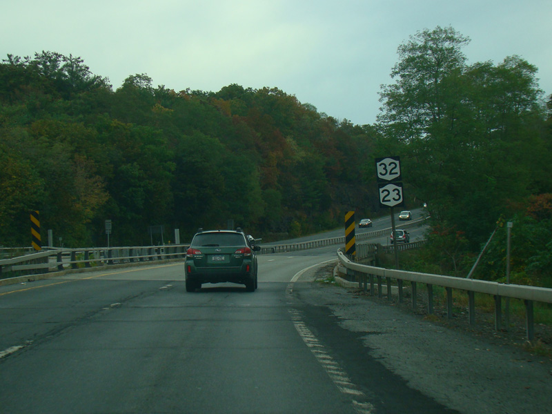
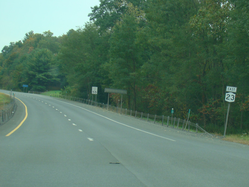
The two routes split. Turn right to go south on NY 32. Continue straight ahead to stay on NY 23.
Photos taken October 2017.
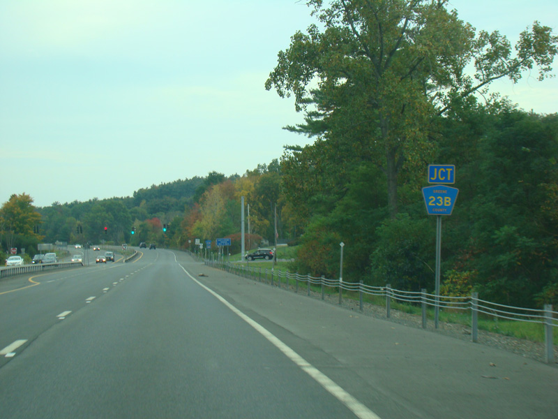
There is a traffic light at Main Street (CR 23B).
Photos taken October 2017.
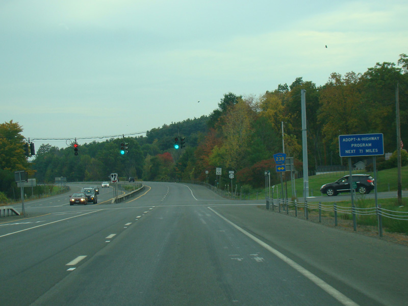
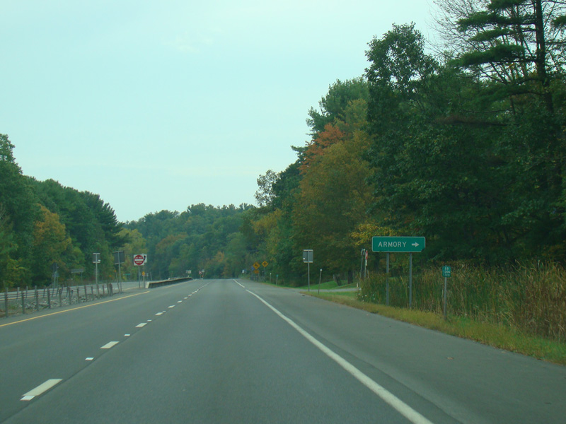
NY 23 continues east as a four-lane divided highway.
Photos taken October 2017.
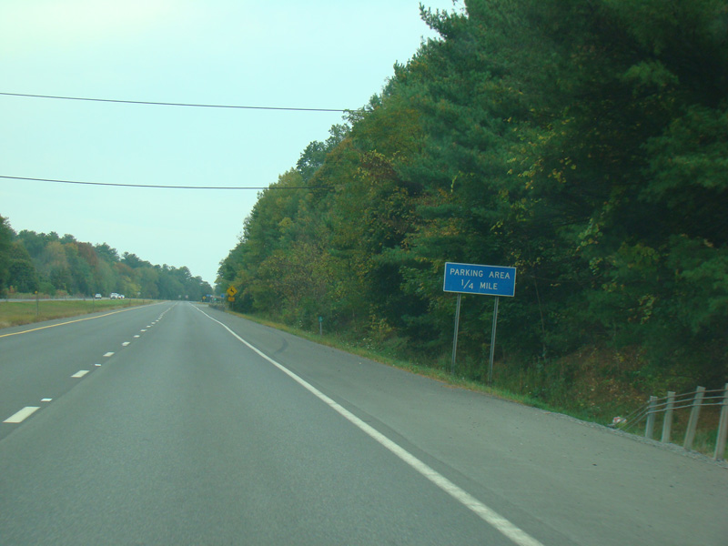

There is a parking area on the right.
Photos taken October 2017.

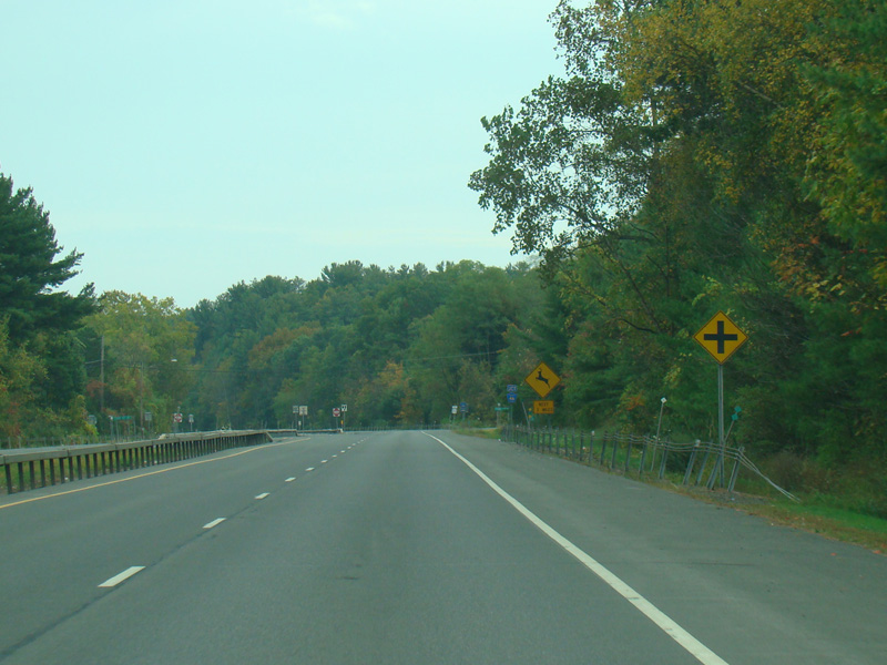
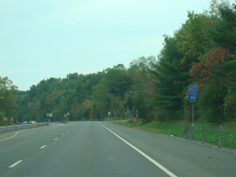
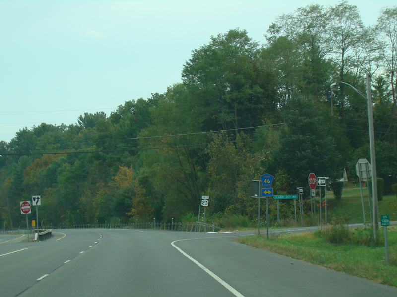
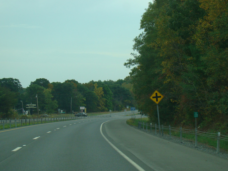
There is an uncontrolled intersection at Cairo Junction Road (CR 46).
Photos taken October 2017.
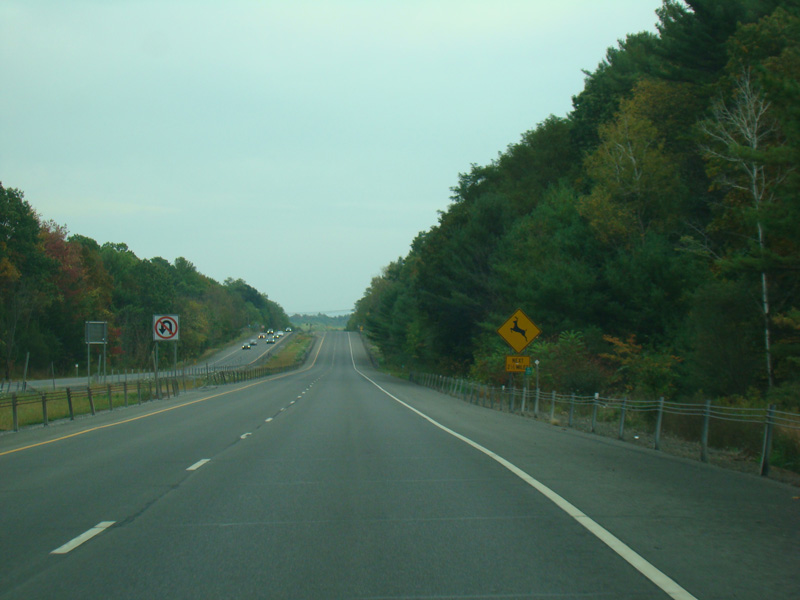
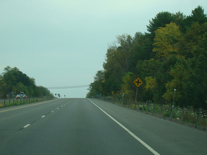
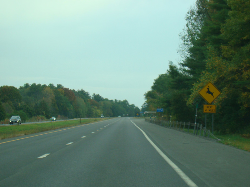
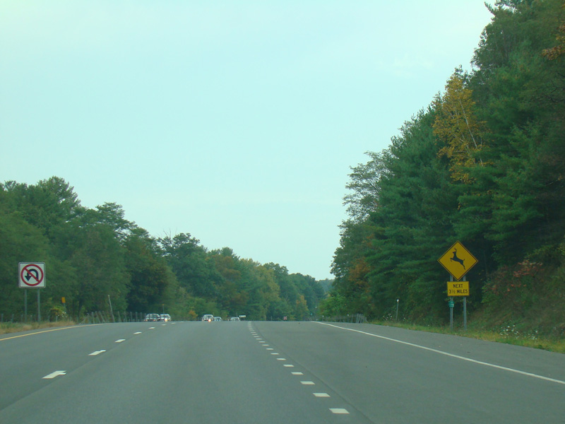
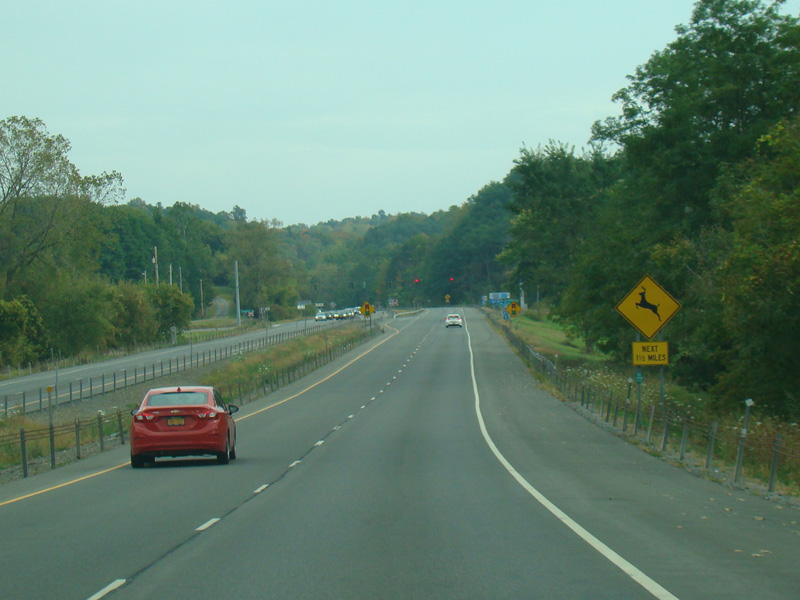
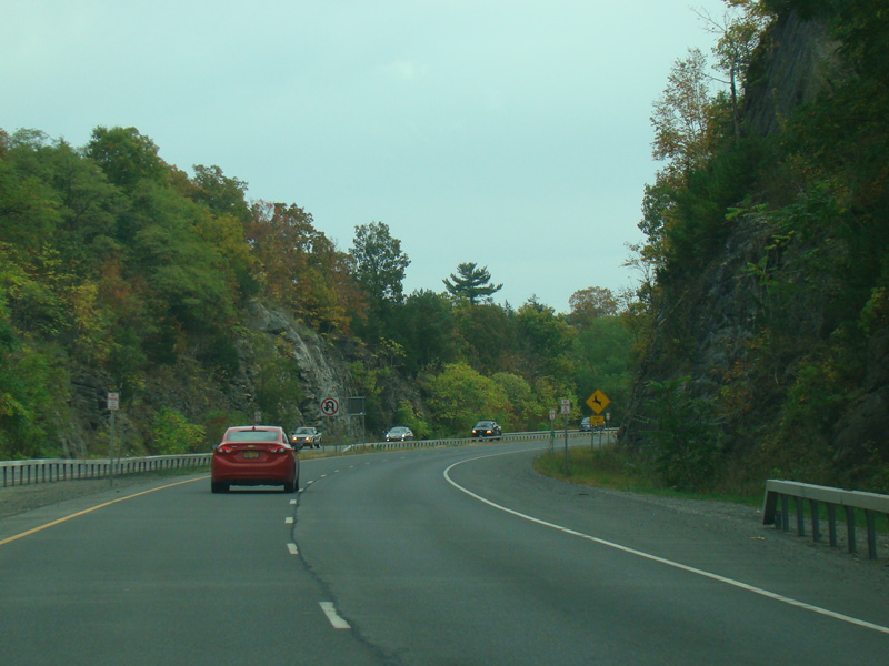
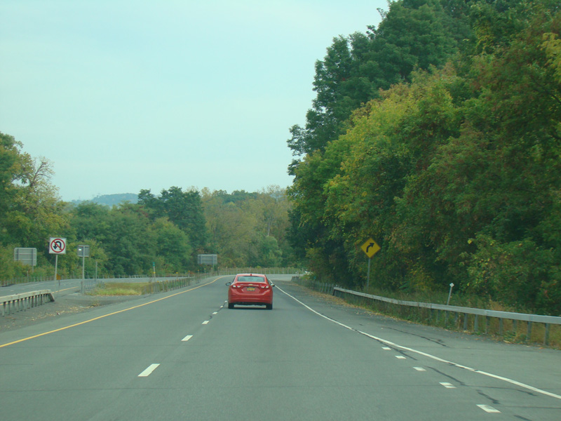
NY 23 continues east as a four-lane divided highway.
Photos taken October 2017.
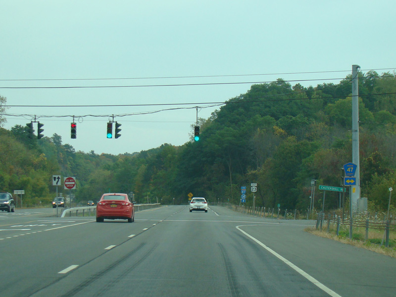
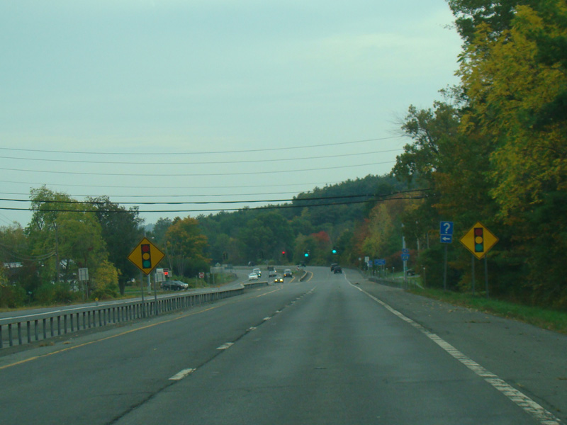
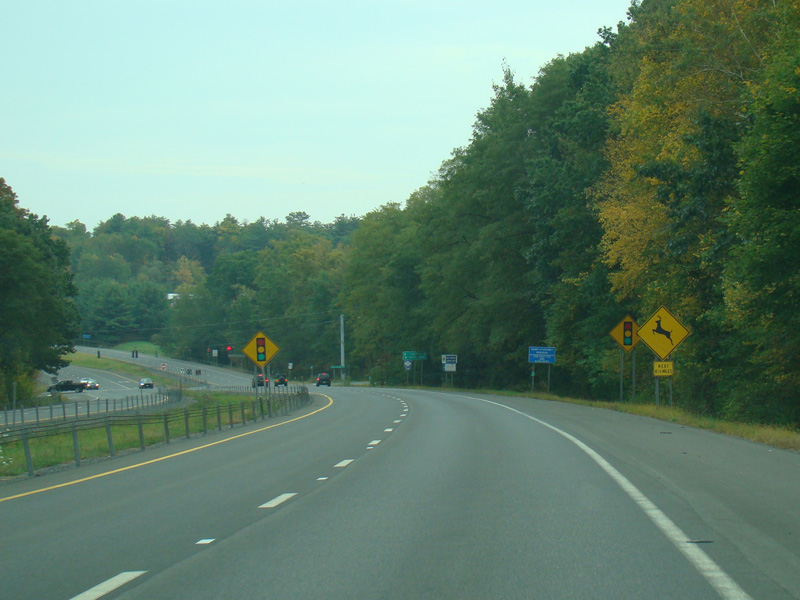
There is a traffic light at Cauterskill Road (CR 47).
Photos taken October 2017.
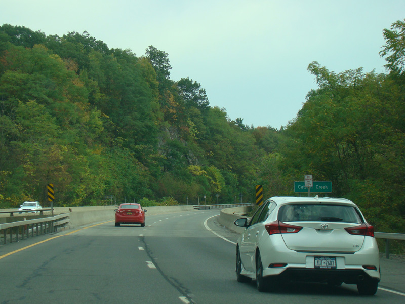
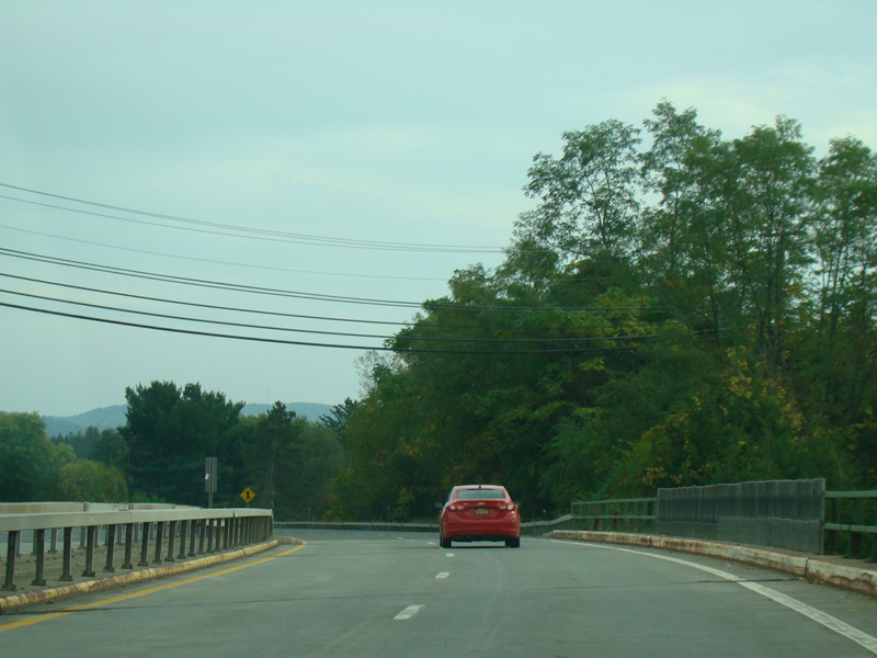
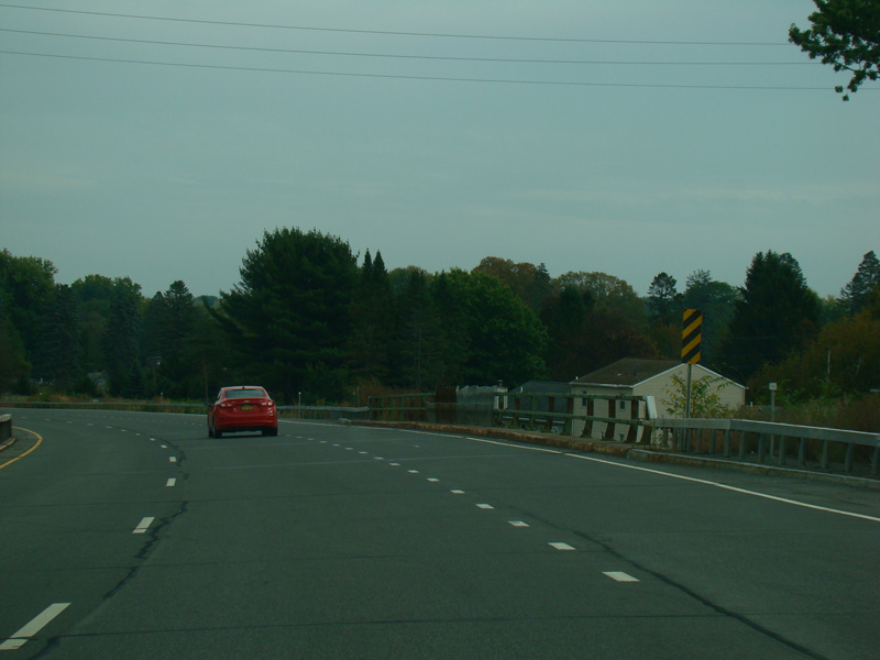
There is a small bridge over Catskill Creek.
Photos taken October 2017.
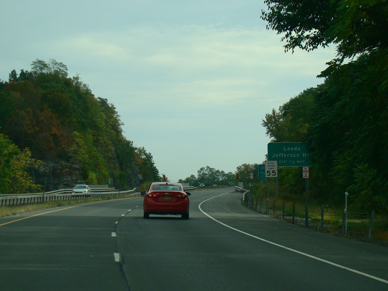
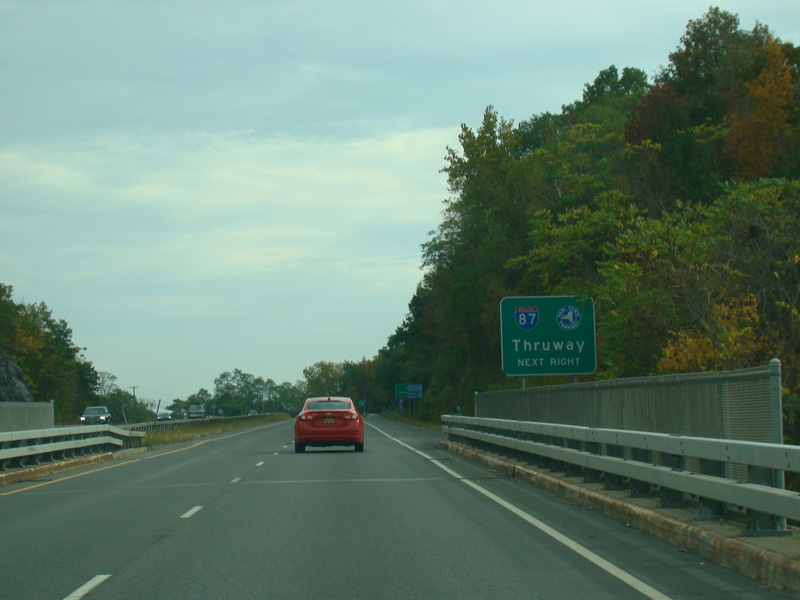
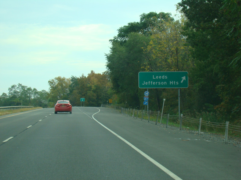
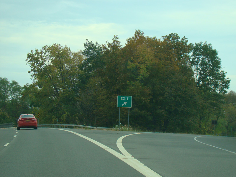
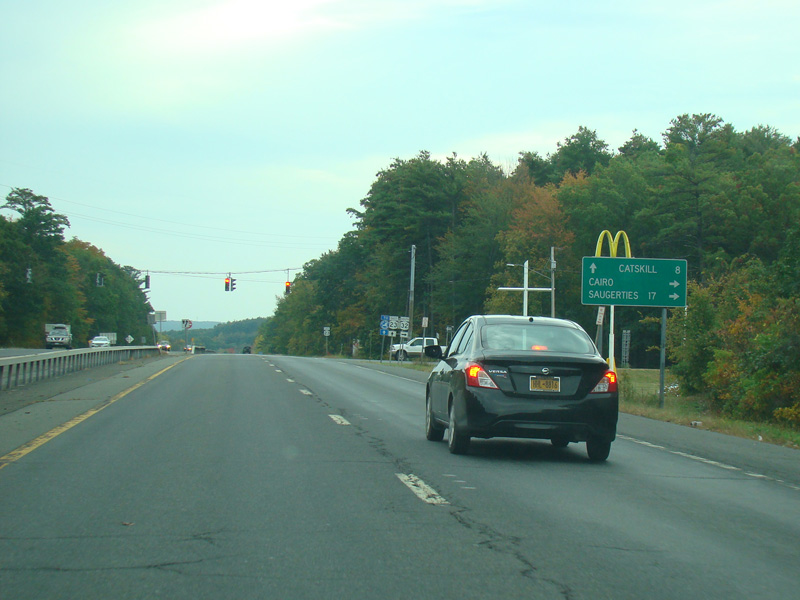
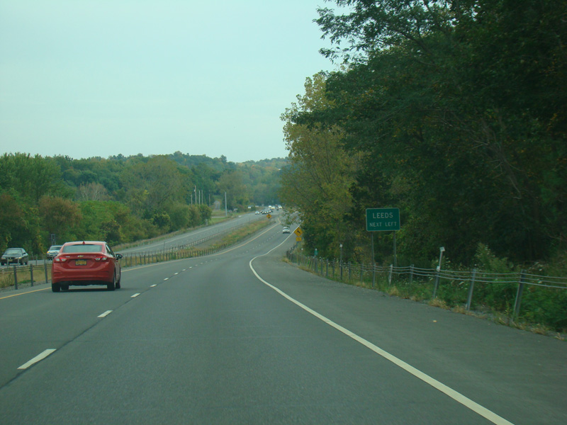
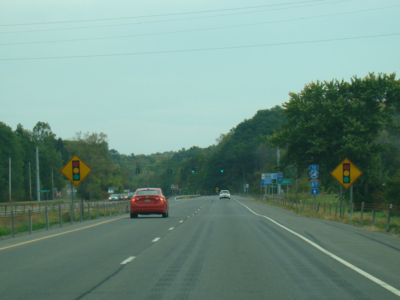
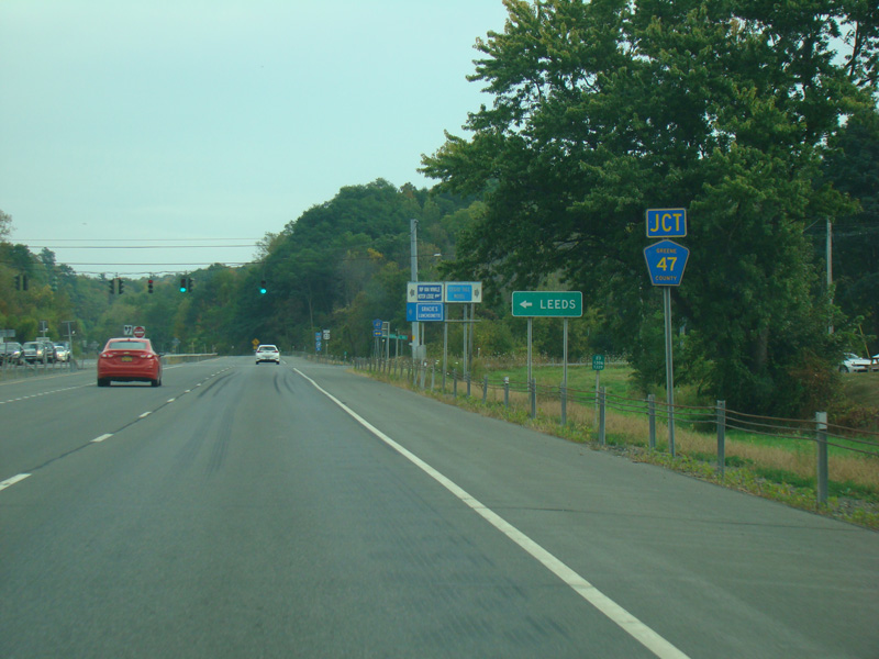
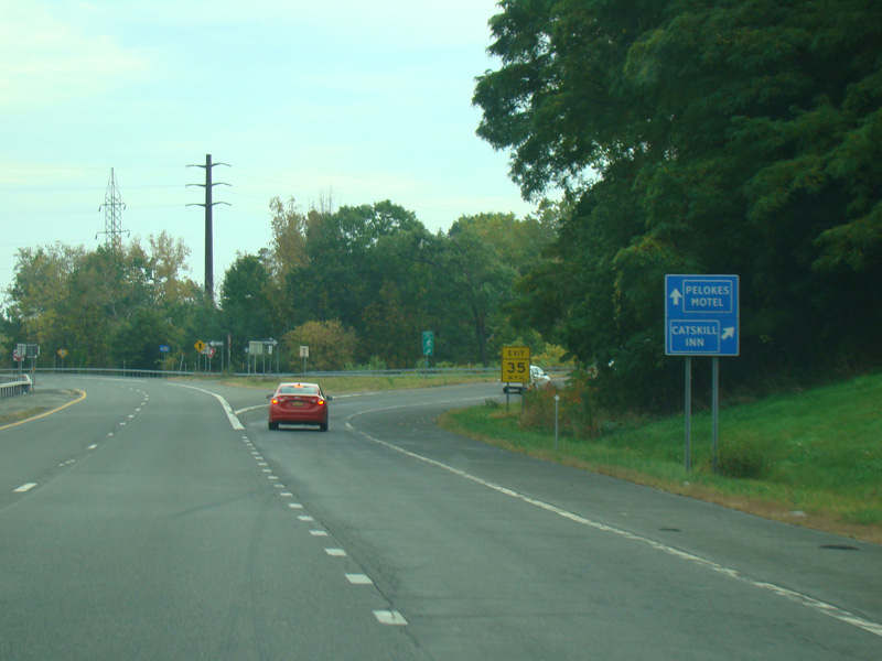
There is an exit for Leeds and Jefferson Heights. It also provides access to the New York Thruway (I-87).
Photos taken October 2017.
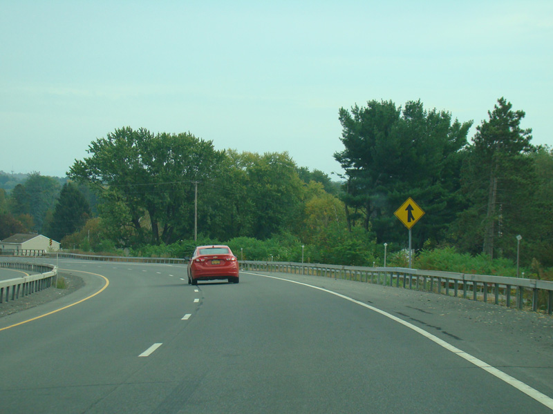
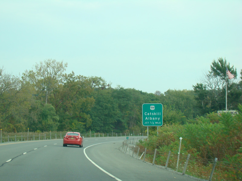
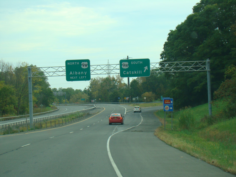
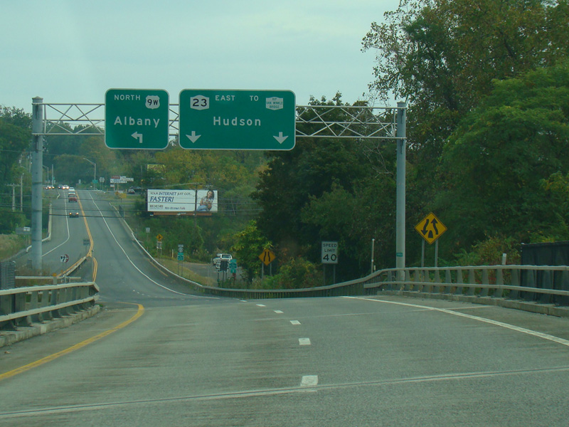
There is an interchange with US 9W.
Photos taken October 2017.
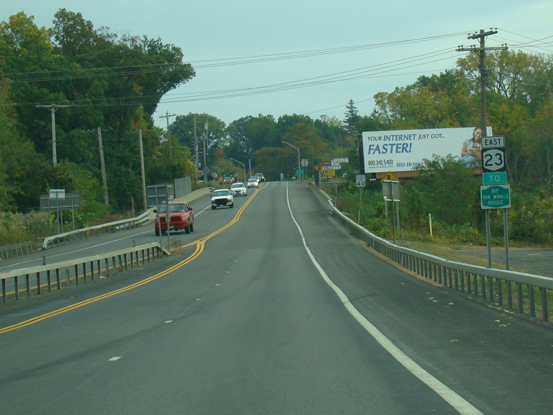
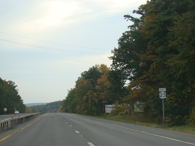
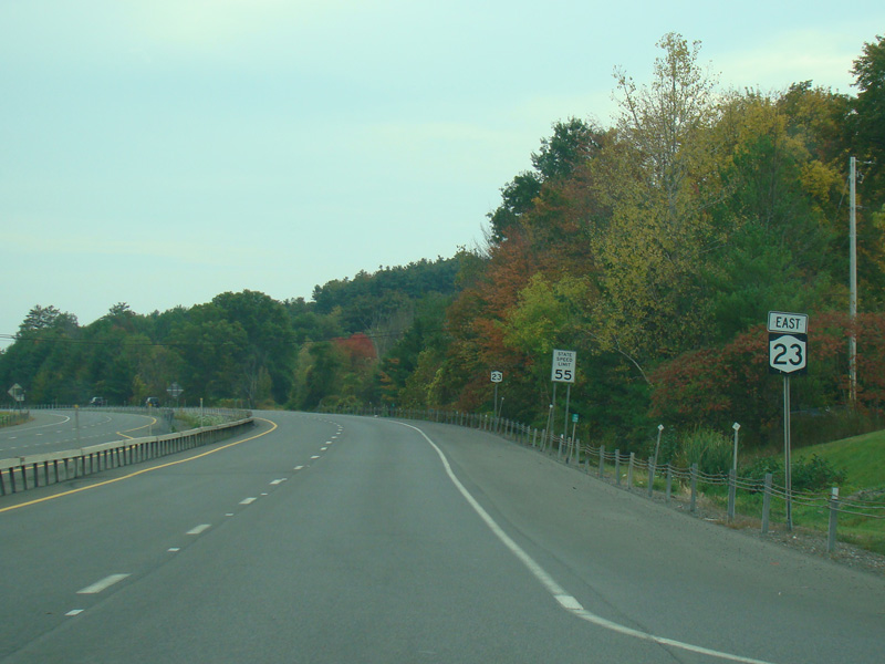
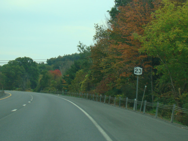
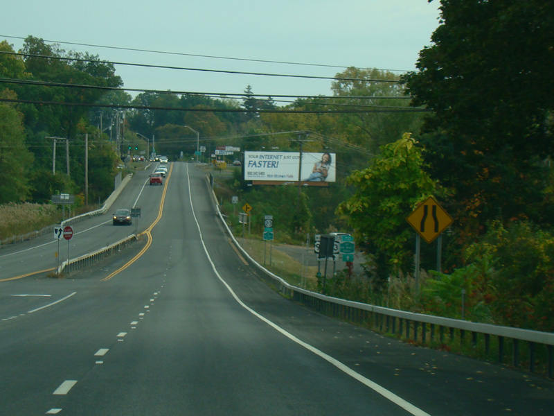
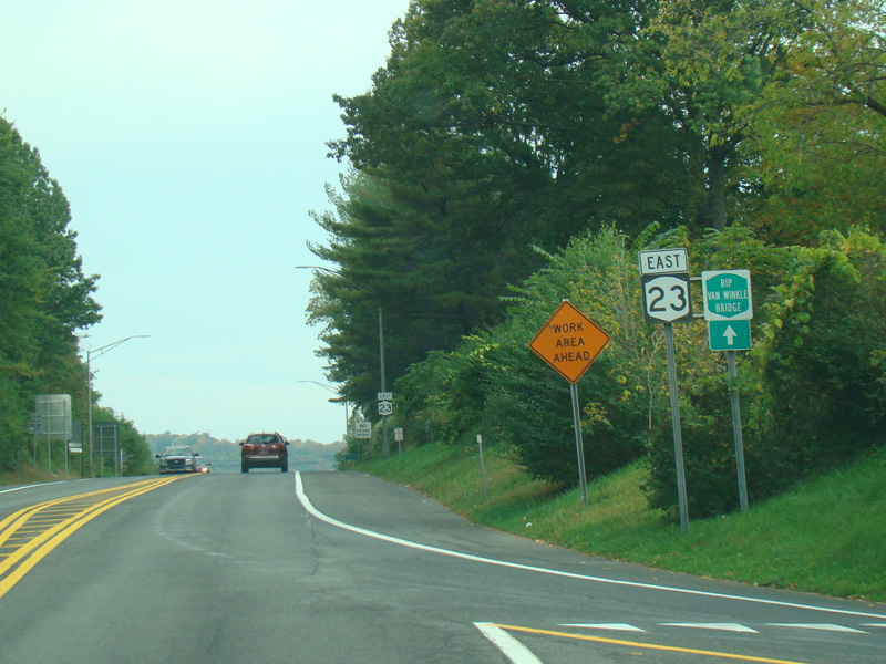
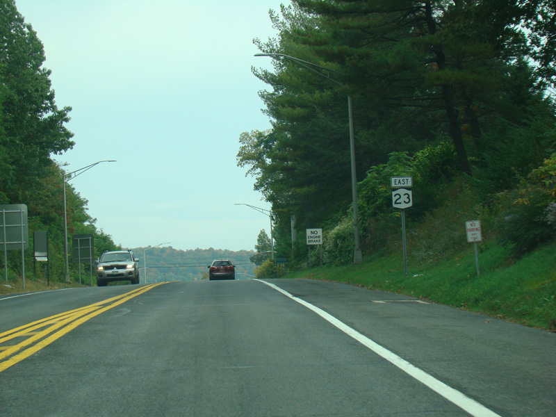
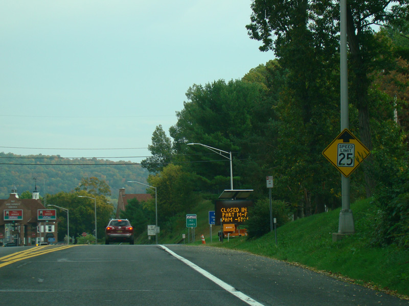
The median ends, and NY 23 narrows down to two lanes.
Photo taken October 2017.
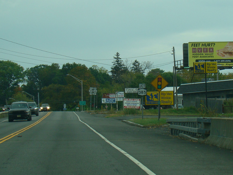
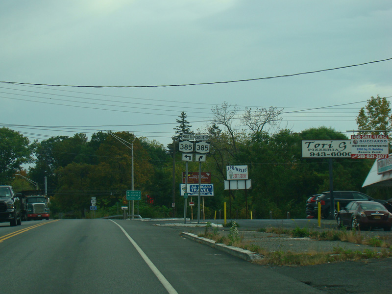
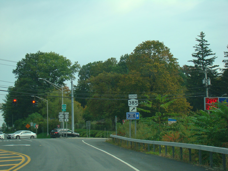
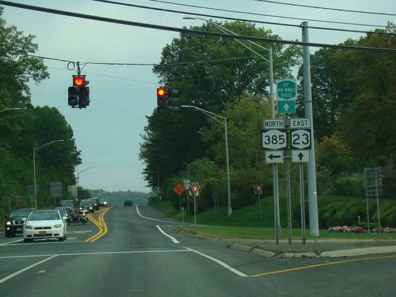
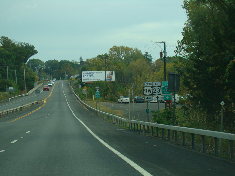
There is a traffic light at NY 385. Turn left to go north or right to go south.
Photos taken October 2017.
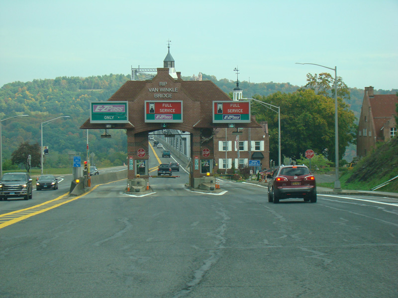
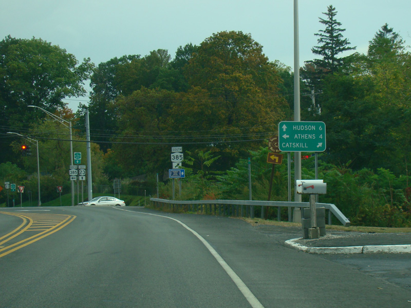
There is a tollbooth where all motorists must pay a toll before crossing the Rip Van Winkle Bridge.
Photos taken October 2017.