
Robert Moses Causeway
Southbound Views
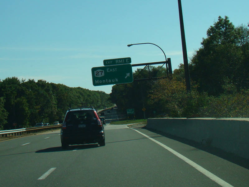
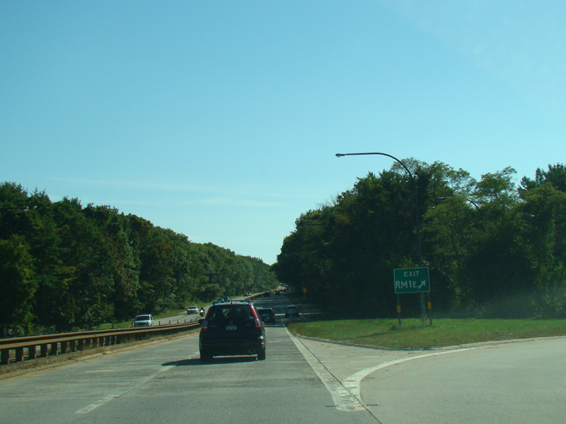
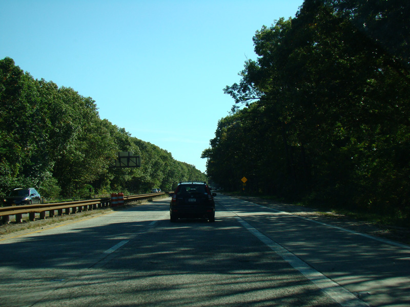
The Robert Moses Causeway begins at the Southern Parkway. Exits RM1W-E are for Sunrise Highway (NY 27).
Photos taken October 2015.

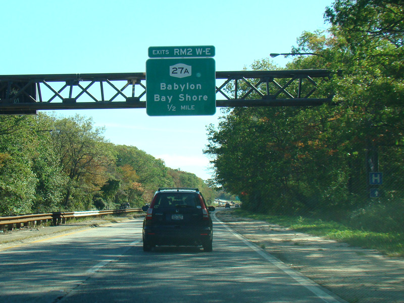
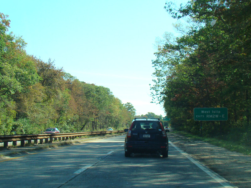
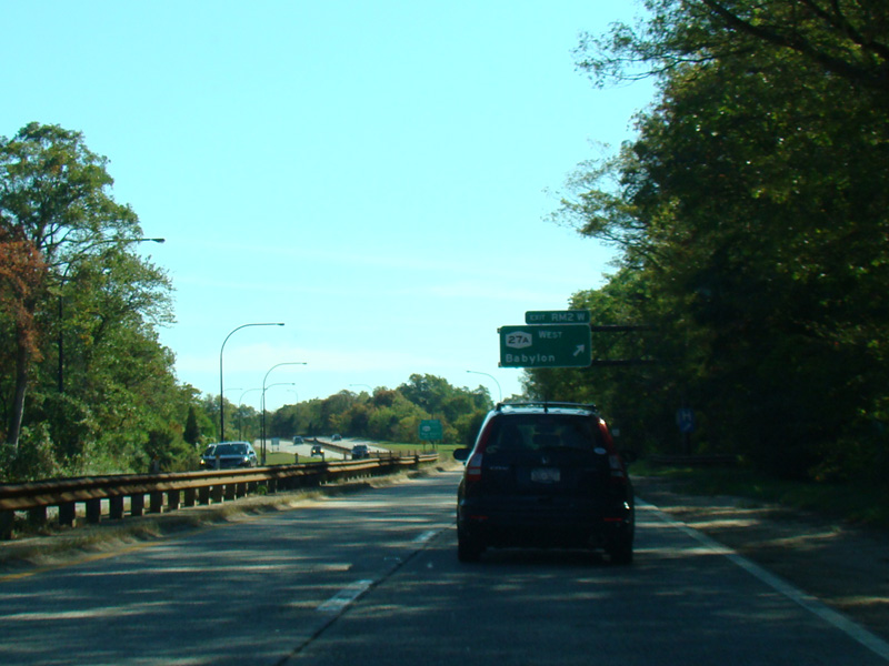
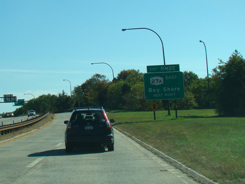
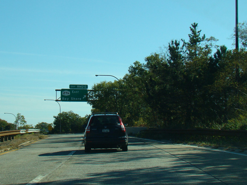

Exits RM2W-E, the last numbered exits, are for Montauk Highway (NY 27A).
Photos taken October 2015.
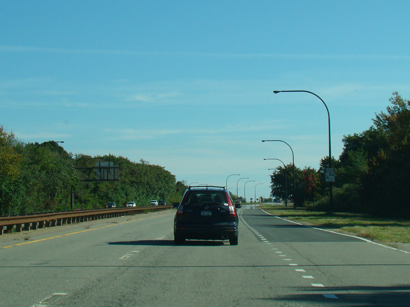

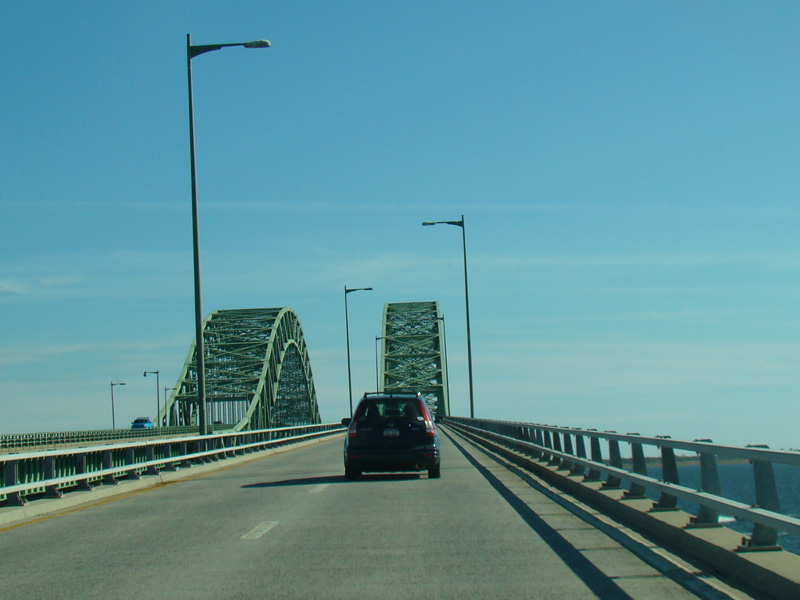
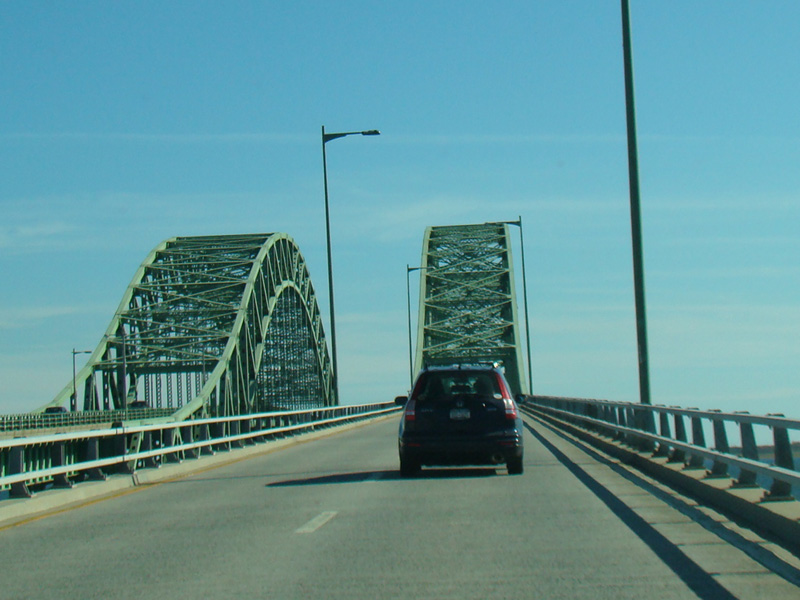
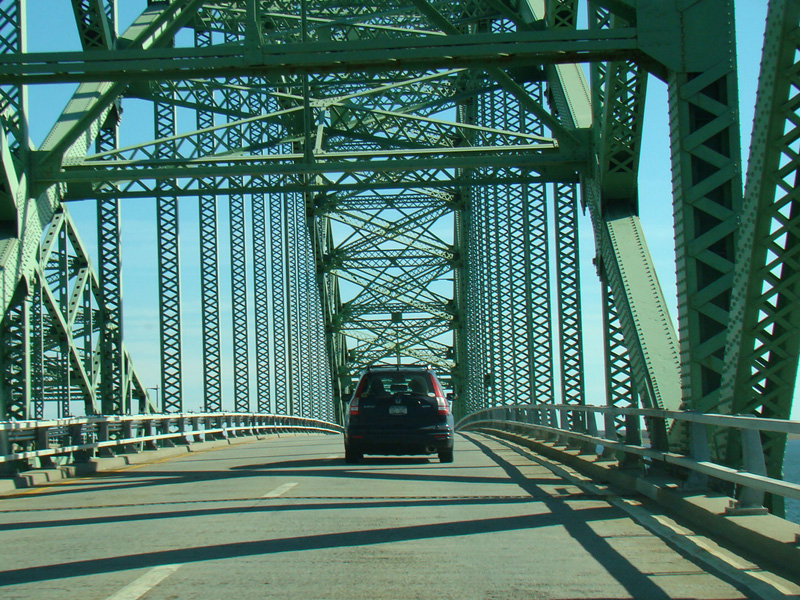

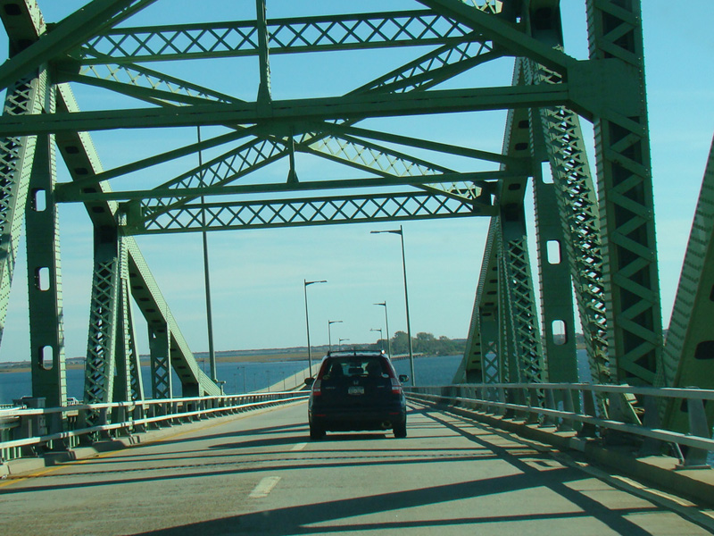
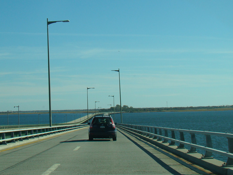
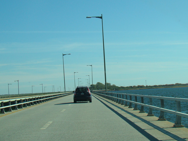

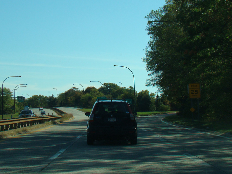
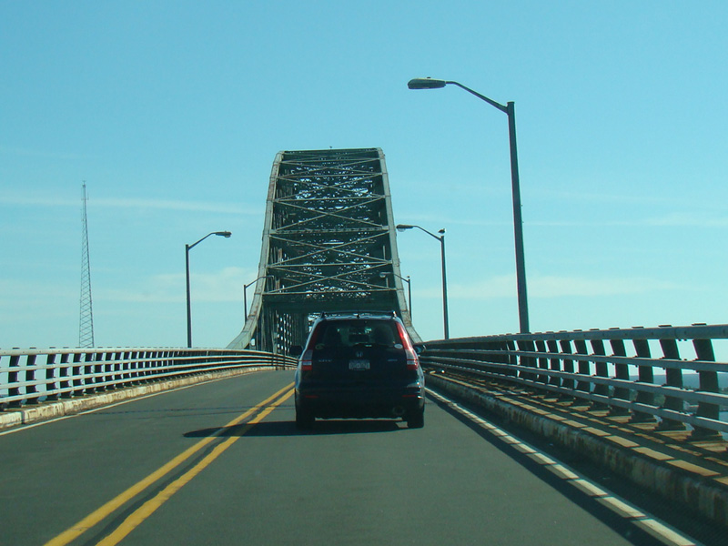
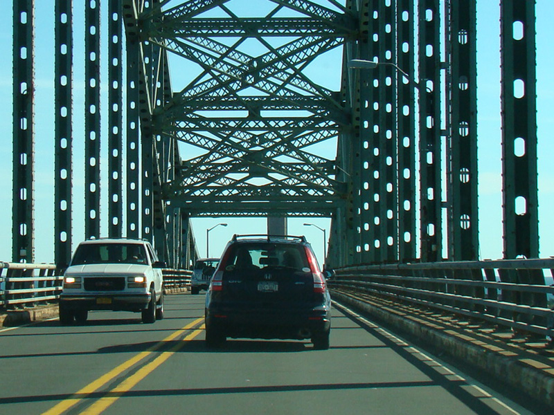
A long bridge carries the Robert Moses Causeway across Great South Bay to Captree Island. It is one of the longest bridges in the New York metropolitan area.
Photos taken October 2015.

On the other side of the bridge, there are signs for the interchange with the Ocean Parkway ahead, as well as signs giving the fees to park at Captree State Park and Robert Moses State Park.
Photos taken October 2014.
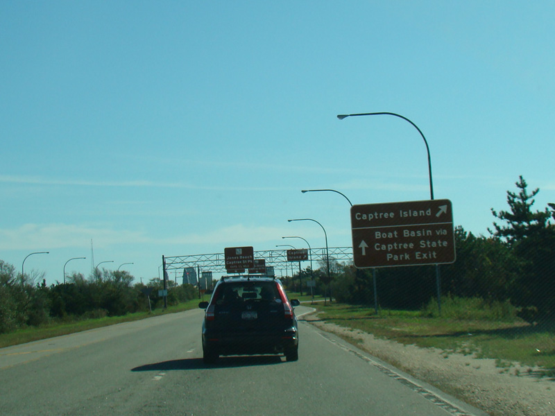
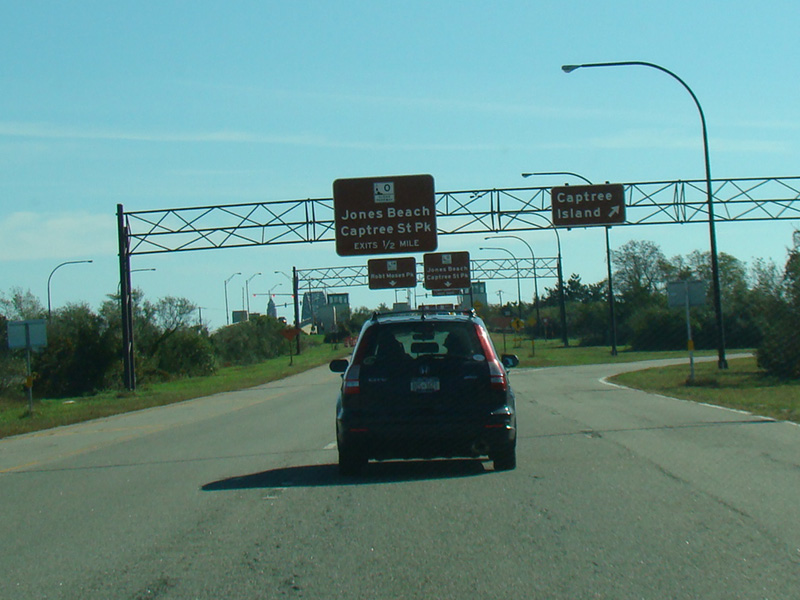
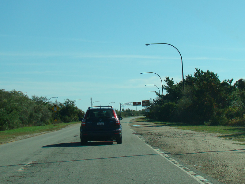
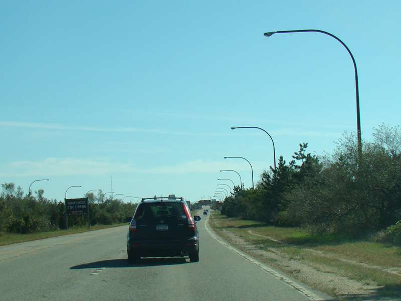
There is an exit for Captree Island. The exits here do not have numbers.
Photos taken October 2015.

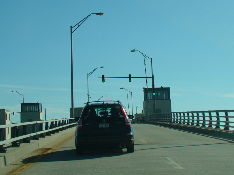
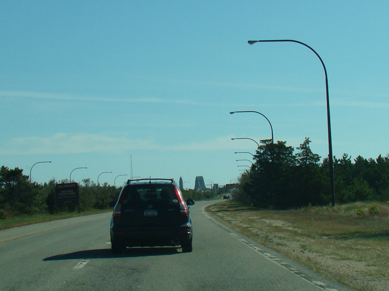
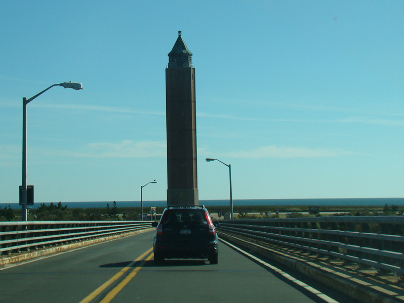
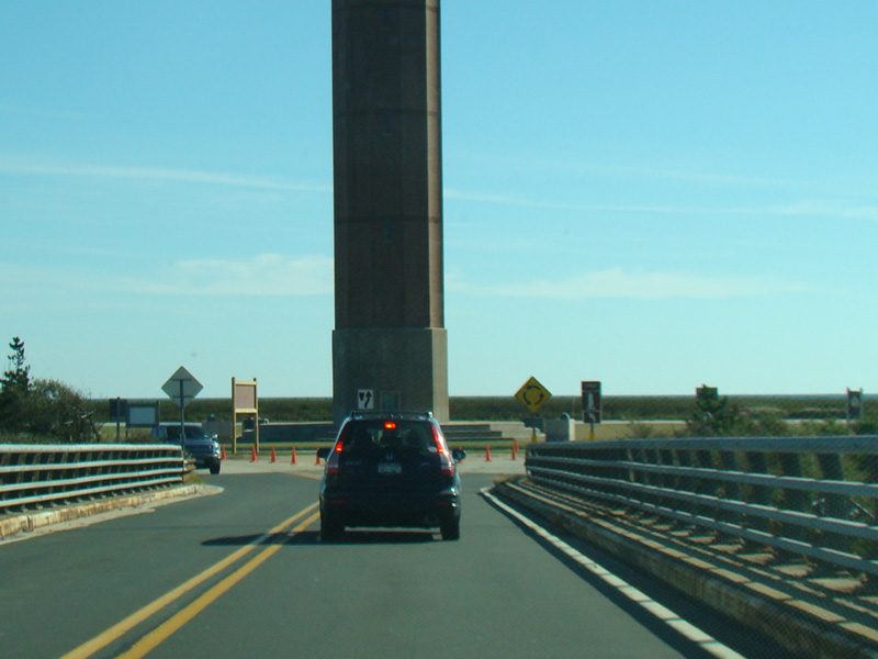
A drawbridge leads to the barrier island where Captree State Park is found. Jones Beach is found on this same island to the west of here.
Photos taken October 2015.
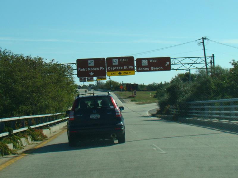

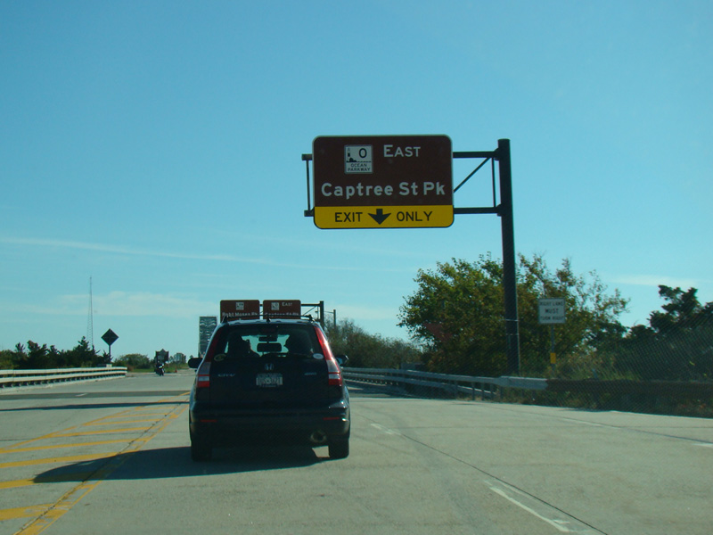
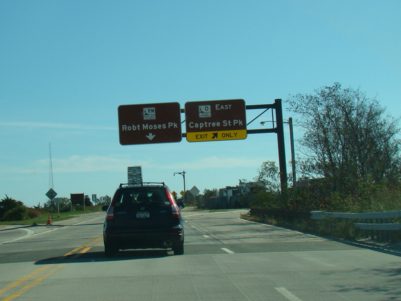
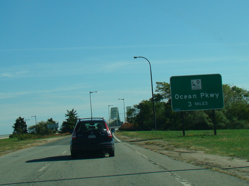
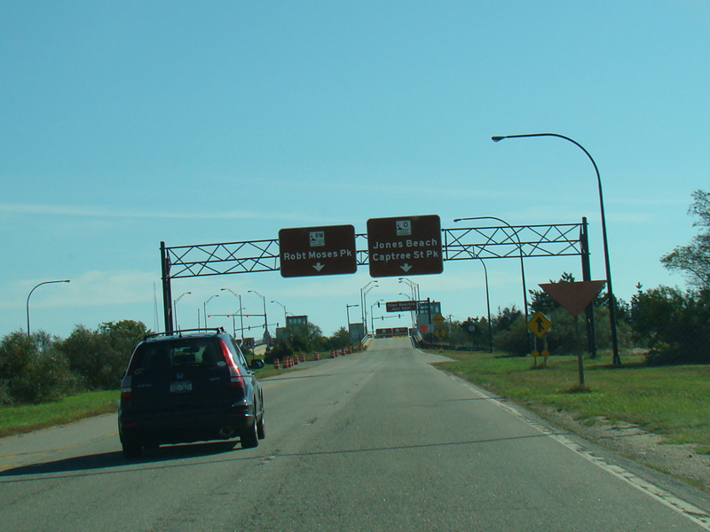
There is a pair of exits for the Ocean Parkway.
Photos taken October 2015.


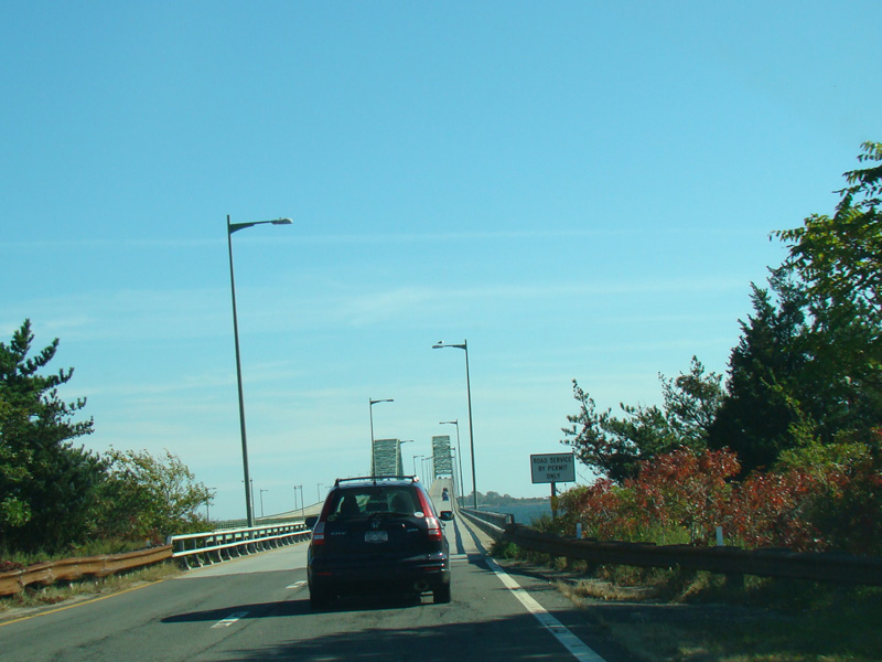
One final bridge leads to Fire Island. The Robert Moses Causeway ends at a traffic circle in Robert Moses State Park.
Photos taken October 2015.