- Direction:
- North/South
- Southern Terminus:
- Lore Road in Solomons
- Northern Terminus:
- North Avenue (US 1) in Baltimore
- Distance:
- 79.24 miles
- Counties:
- Calvert, Anne Arundel
- Independent Cities:
- Baltimore
- Signed:
- Yes
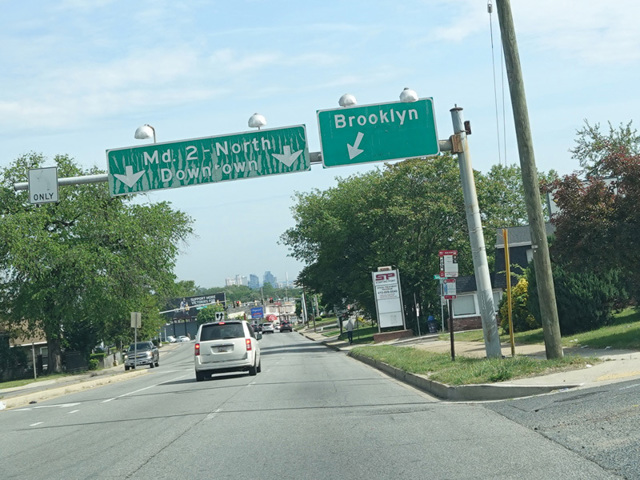
MD 2 is a north/south route connecting Southern Maryland to Baltimore. Solomons Island Road begins on Solomons Island as a county road and runs north. After leaving the island, it becomes a state route with the designation of MD 2 at its intersection with Lore Road. After a short distance of less than a quarter of a mile, it merges with MD 4 to form a four-lane divided highway as MD 4 comes off the Governor Thomas Johnson Bridge crossing the Patuxent River from St. Mary's County. The two routes are multiplexed along Solomons Island Road north to Huntingtown, where they split. MD 4 follows the four-lane divided highway, which changes names to become Southern Maryland Boulevard and curves to the northwest toward Washington, DC. Solomons Island Road splits off with the MD 2 designation as a two-lane undivided road and continues north to Edgewater, where it widens to become a four-lane divided highway again. It crosses a bridge over the South River and runs north to John Hanson Highway (US 50) in Annapolis. The two routes are multiplexed for a couple of exits, and then MD 2 splits off to become Governor Ritchie Highway, a large four-lane divided highway that runs north to Baltimore. At the city line, Governor Ritchie Highway ends, and MD 2 follows Potee Street, Hanover Street, West Montgomery Street, Light Street, and Calvert Street through the city, ultimately ending at North Avenue (US 1).
| Photo Gallery |
|---|
| Map |