West Putnam Avenue, East Putnam Avenue, West Main Street, Tresser Boulevard, East Main Street, Post Road, Connecticut Avenue, Van Buren Avenue, Belden Avenue, Cross Street, North Avenue, Westport Avenue, Post Road West, Post Road East, Kings Highway, Boston Avenue, Barnum Avenue, Bridgeport Avenue, Boston Post Road, Orange Avenue, Columbus Avenue, Church Street South, Union Avenue, Water Street, Forbes Avenue, Saltonstall Parkway, North Main Street, Halls Road, Bank Street, Jefferson Avenue, Colman Street, South Frontage Road, Long Hill Road, Poquonnock Road, Fort Hill Road, New London Road, Broadway, Roosevelt Street, Williams Avenue, Stonington Road, South Broad Street, West Broad Street
Northbound Views
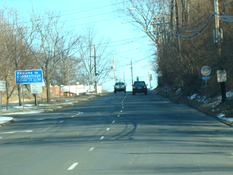

Welcome to Connecticut! Here, US 1 is called West Putnam Avenue. The first town in Connecticut through which US 1 passes is Greenwich.
Photos taken January 2010.

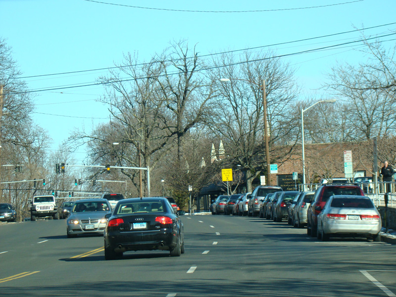
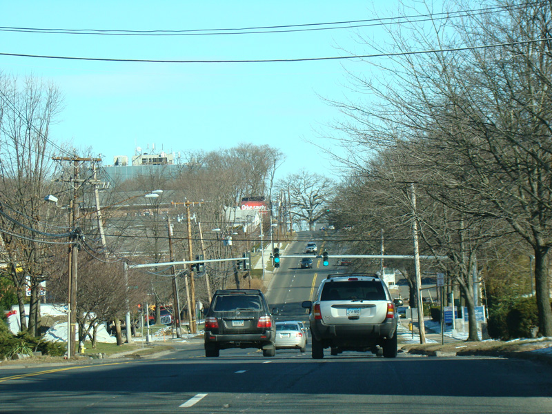
US 1 runs through a main shopping area in Greenwich. It changes names to become East Putnam Avenue.
Photos taken January 2010.
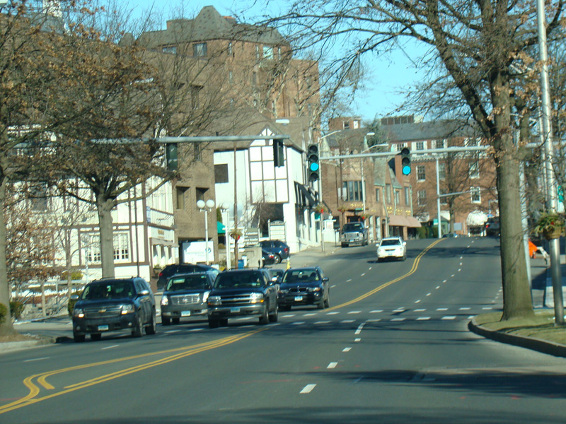
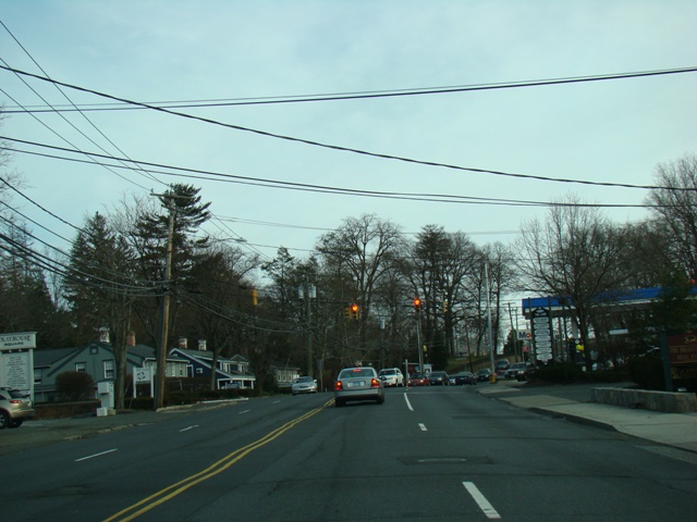
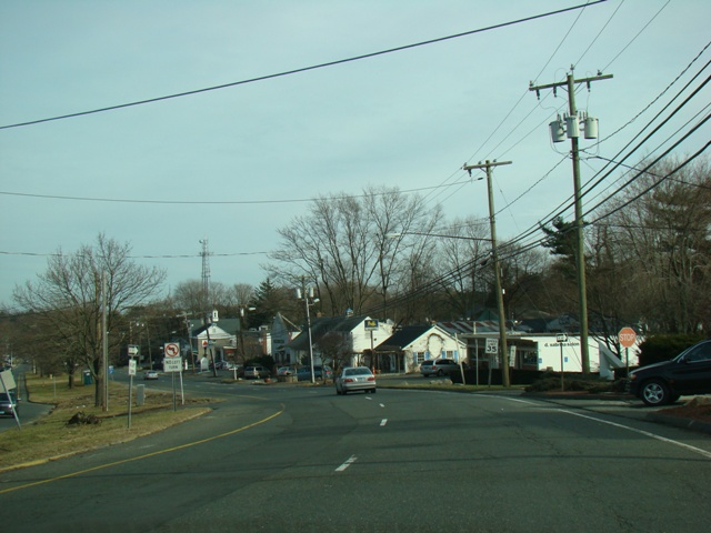
Heading out of town, the surroundings become less commercial.
Photos taken January 2010.


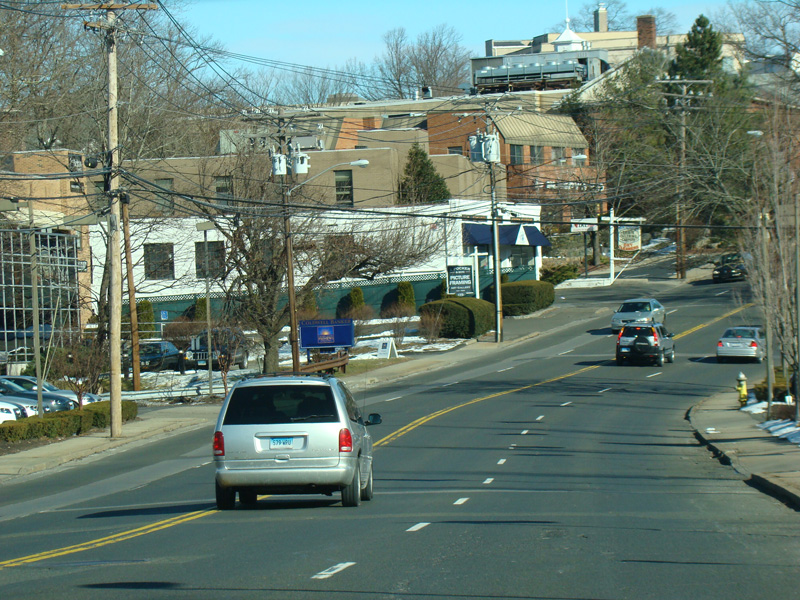
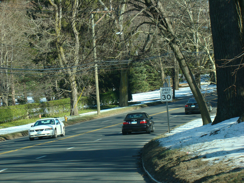
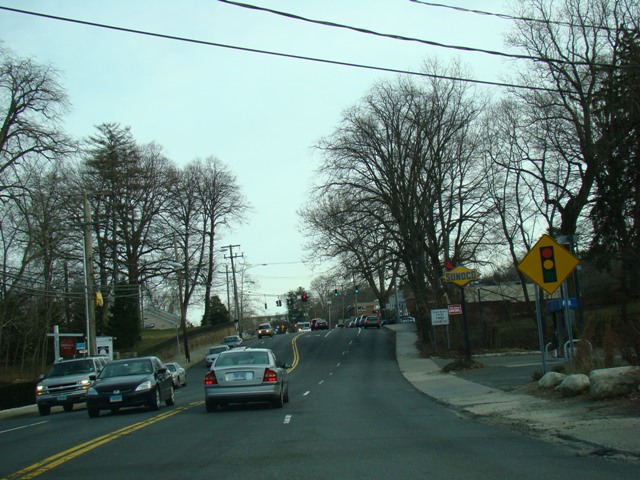
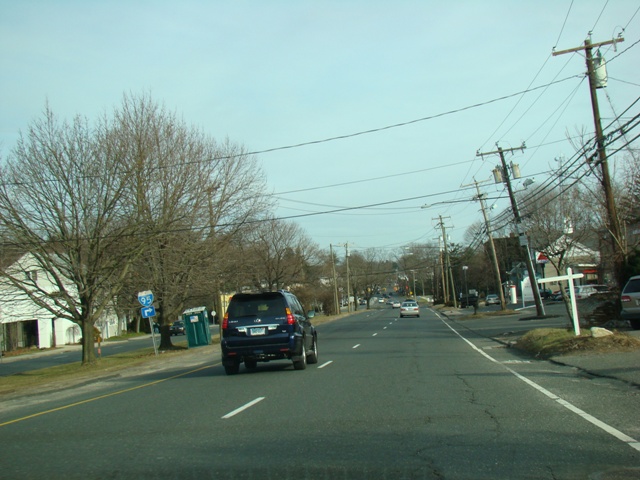
East Putnam Avenue runs through Cos Cob.
Photos taken January 2010.
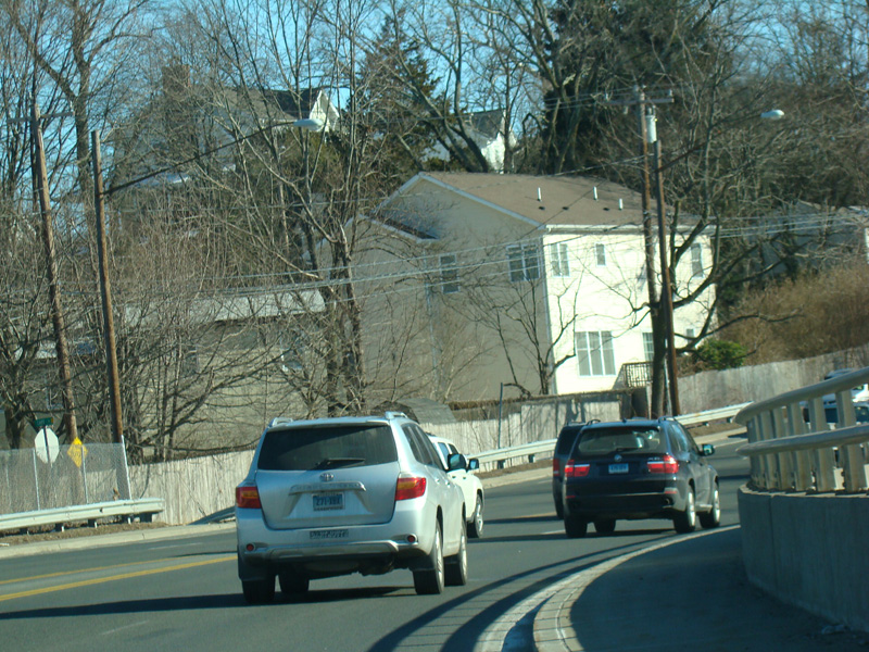
A bridge crosses the Mianus River.
Photo taken January 2010.


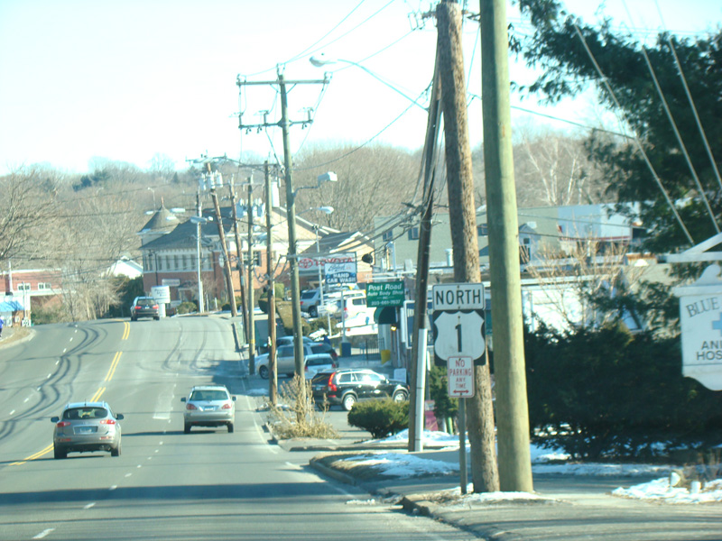
Welcome to Riverside! There is an interchange with the Connecticut Turnpike (I-95). Turn right at the traffic to go either north or south. There is a green sign marking the interchange, but it is mostly obstructed by a tree.
Photos taken January 2010.
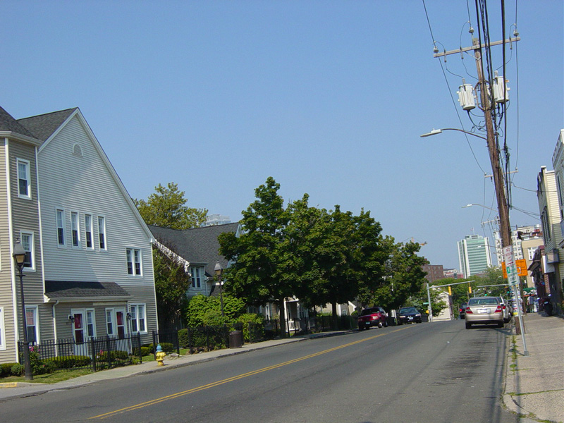
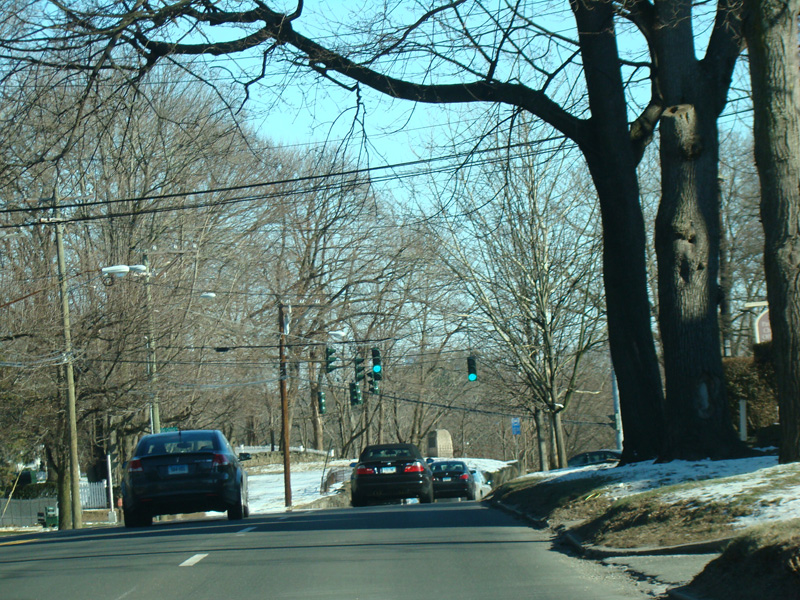
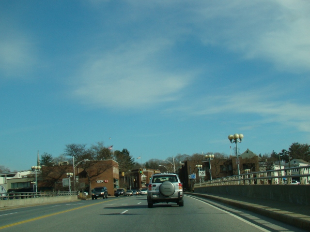
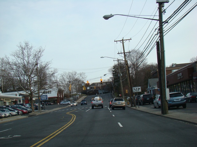
Skipping north to Stamford, West Main Street runs east as a two-lane undivided road.
Photo taken August 2013.

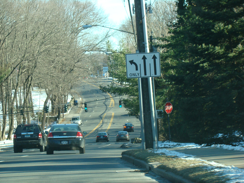
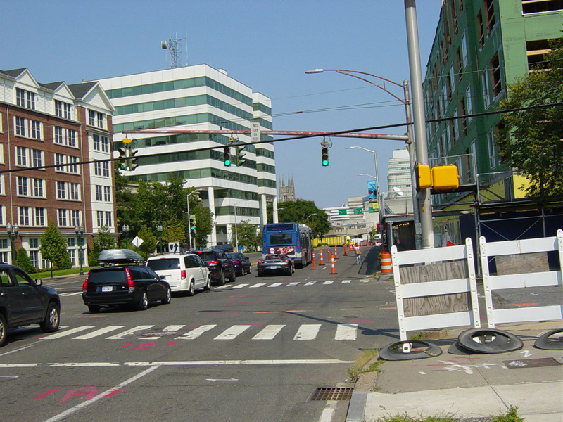
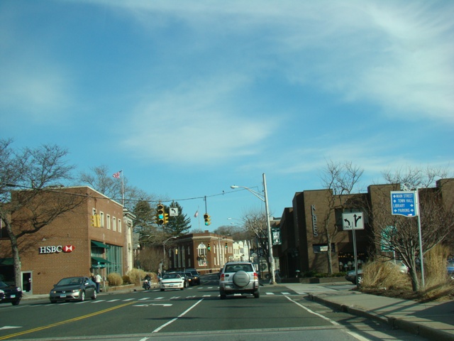
West Main Street splits off to the left at this traffic light to become a local street. US 1 continues straight ahead as Tresser Boulevard. Greenwich Avenue is to the right.
Photo taken August 2013.
Tresser Boulevard runs east as a four-lane divided road.
Photo taken August 2013.


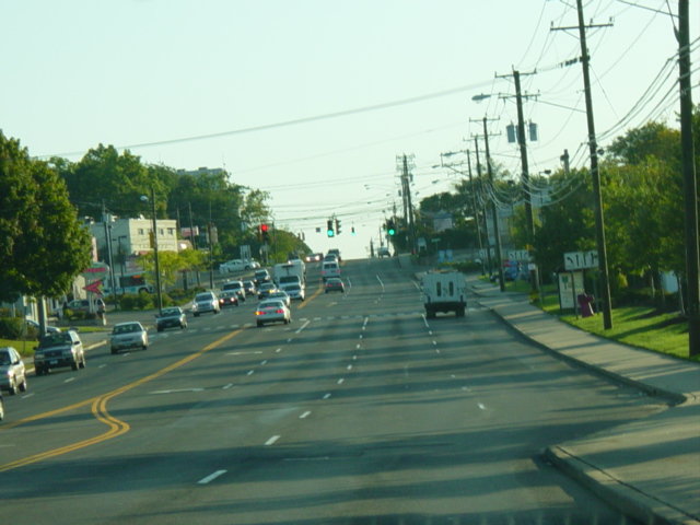
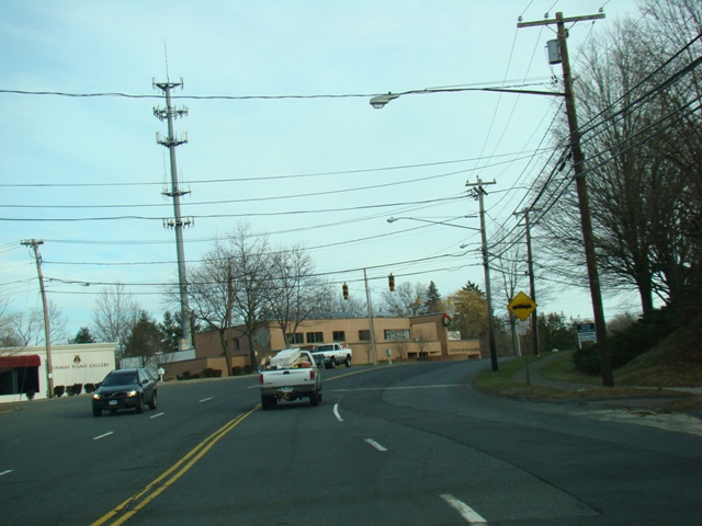
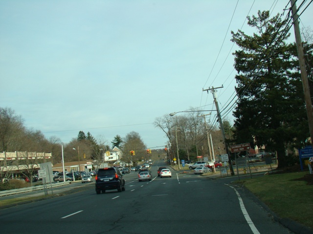
Skipping north to Norwalk, Connecticut Avenue runs east as a four-lane undivided road.
Photos taken September 2009.


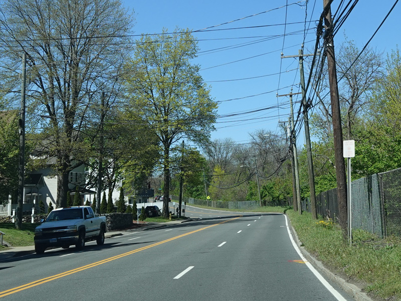


Connecticut Avenue curves to the north to become Van Buren Avenue.
Photos taken May 2021.
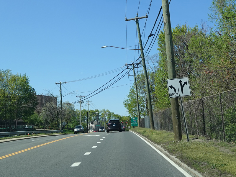
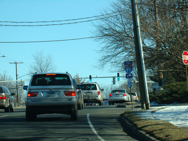
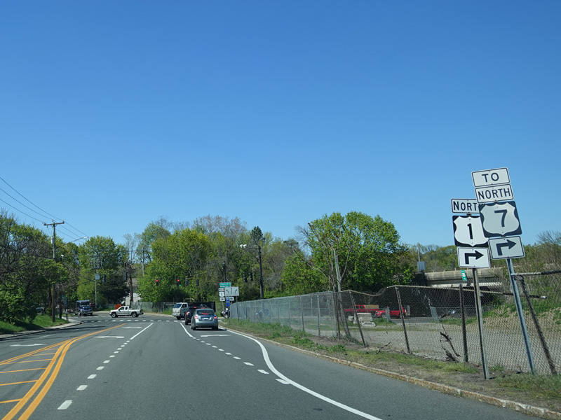
There is an entrance to the US 7 expressway south. It ends just south of here at the Connecticut Turnpike (I-95). Continue straight ahead for a northbound entrance.
Photos taken May 2021.
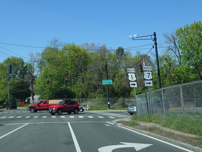
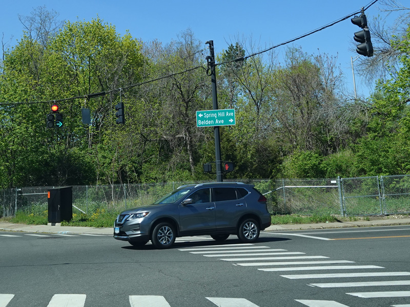
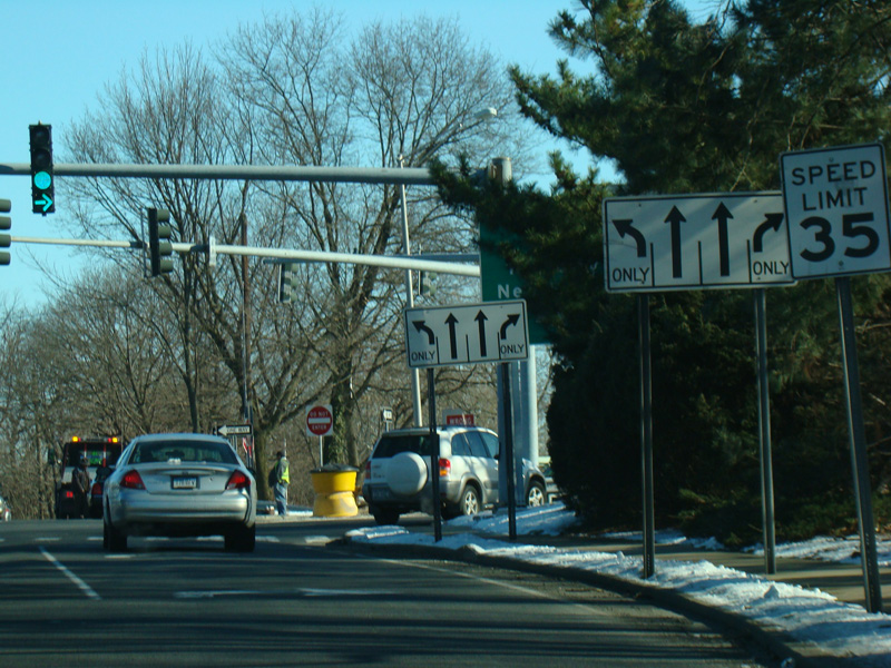
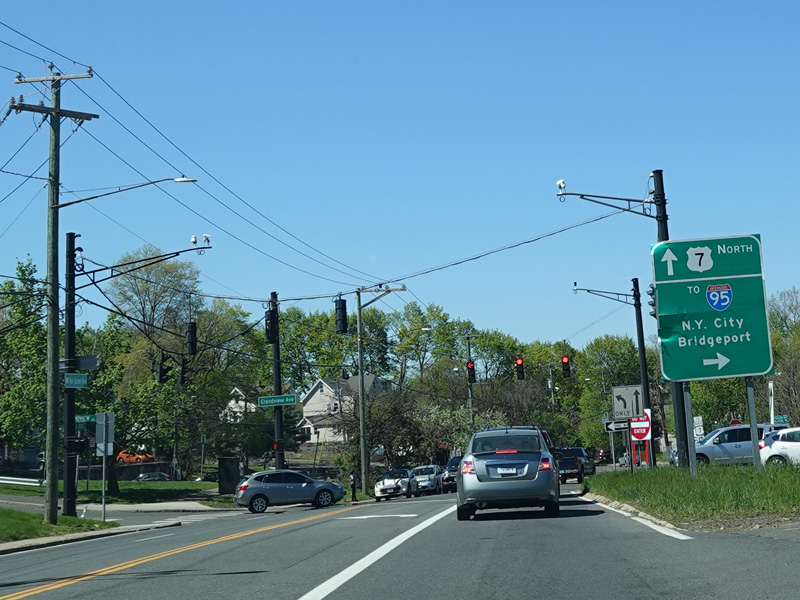
Van Buren Avenue ends here at a traffic light. Turn right onto Belden Avenue to stay on US 1. Turn left for Spring Hill Avenue. Riverside Avenue (SR 809) begins straight ahead.
Photos taken May 2021.
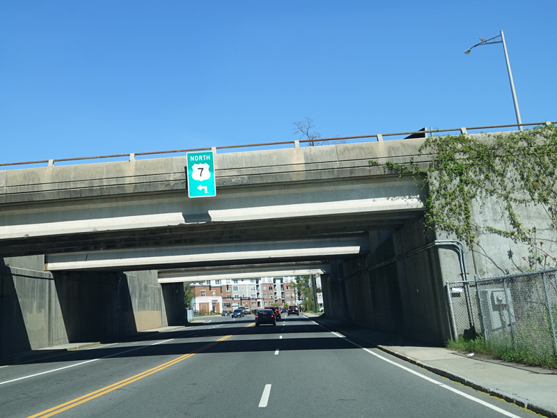

Belden Avenue passes under the US 7 expressway. Turn left at the first traffic light after the overpasses for a northbound entrance.
Photos taken May 2021.
Skipping to the north, Post Road East crosses the Saugatuck River.
Photos taken January 2008.
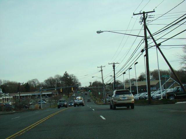
Post Road East runs through Westport as a four-lane undivided road.
Photos taken January 2008.
There is a grass median between the northbound and southbound lanes, here.
Photos taken January 2008.
The Sherwood Island Connector (SSR 476) splits off to the right here and runs south, providing access to the Connecticut Turnpike (I-95) and Sherwood Island State Park.
Photos taken January 2008.
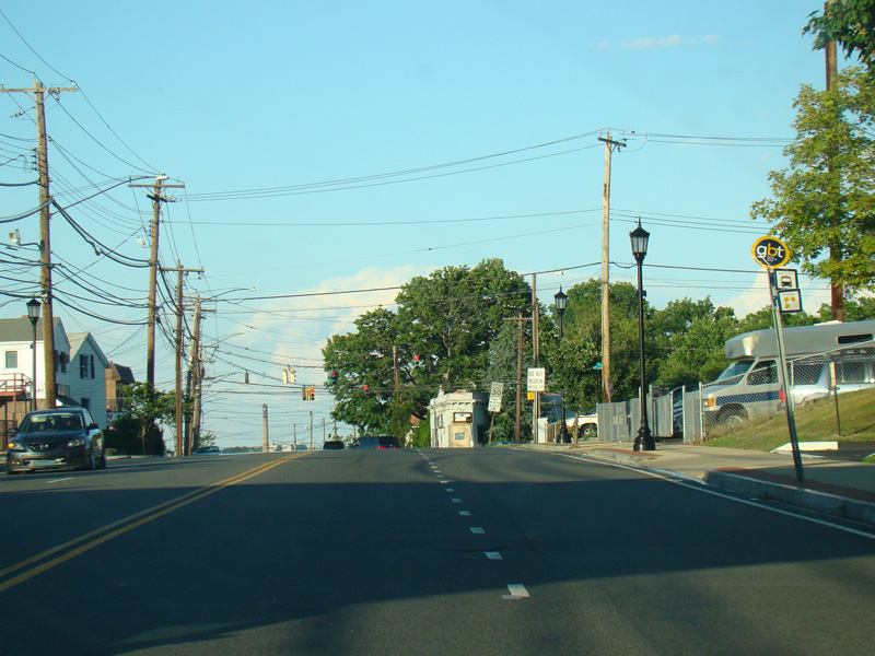
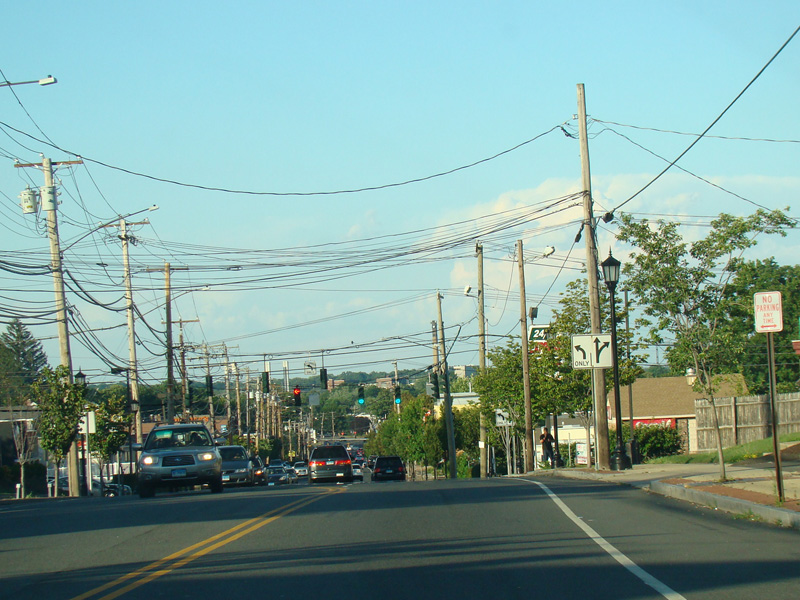
Skipping north to Stratford, Barnum Avenue runs east as a two-lane undivided road.
Photos taken July 2016.
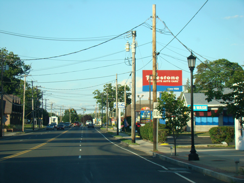
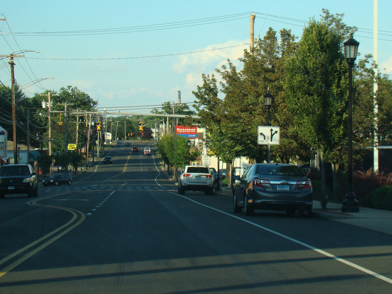
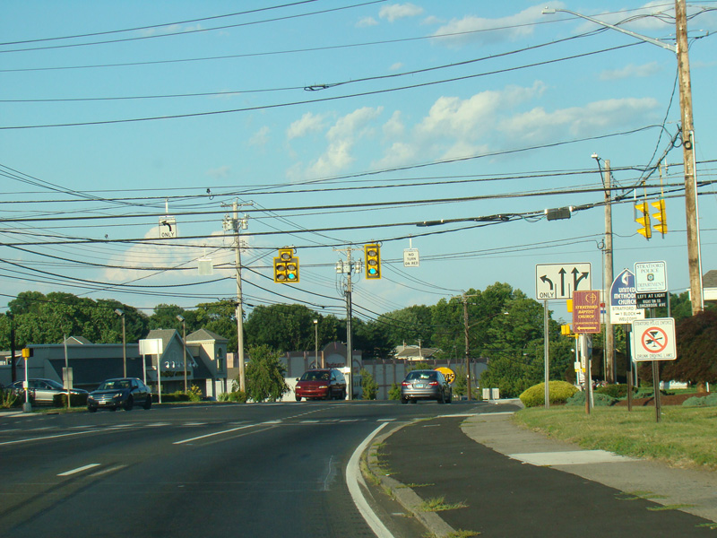
Barnum Avenue widens to four lanes. Nichols Avenue (CT 108) begins on the left at a traffic light.
Photos taken July 2016.
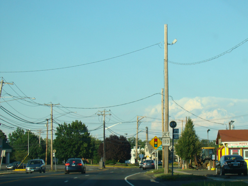
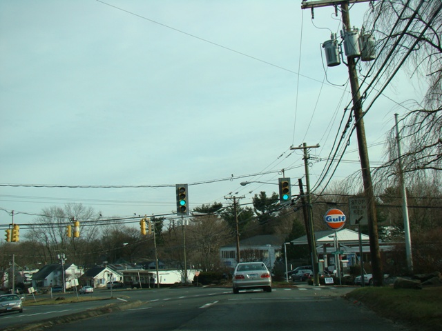
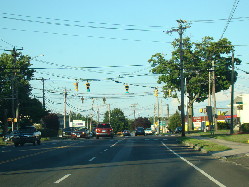
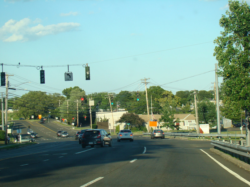
There is a traffic light at Main Street (CT 113). Turn left to go south or right to go north.
Photos taken July 2016.

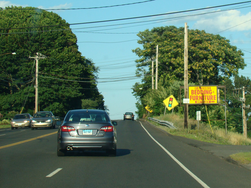
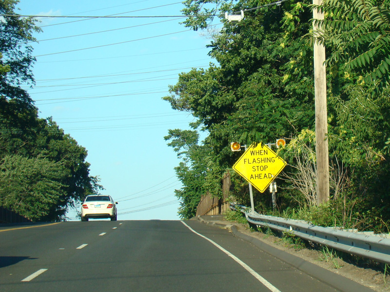
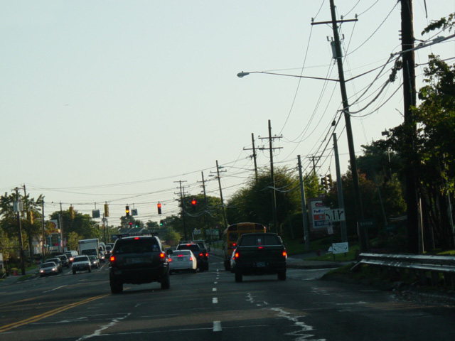
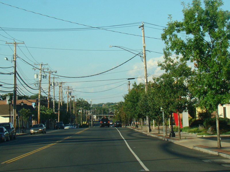
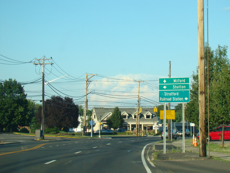
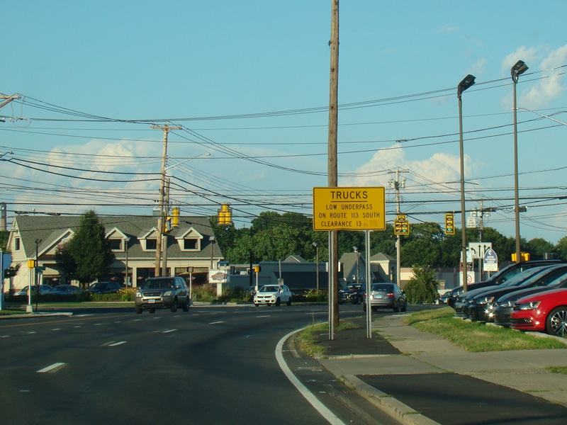
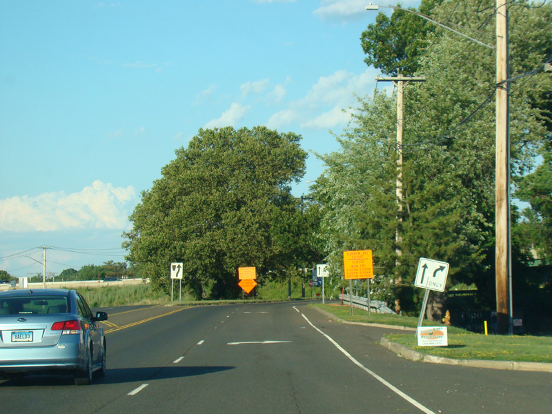
Barnum Avenue continues east through Stratford as a four-lane undivided road.
Photos taken July 2016.
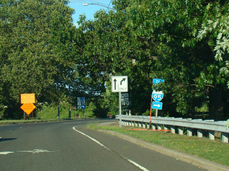
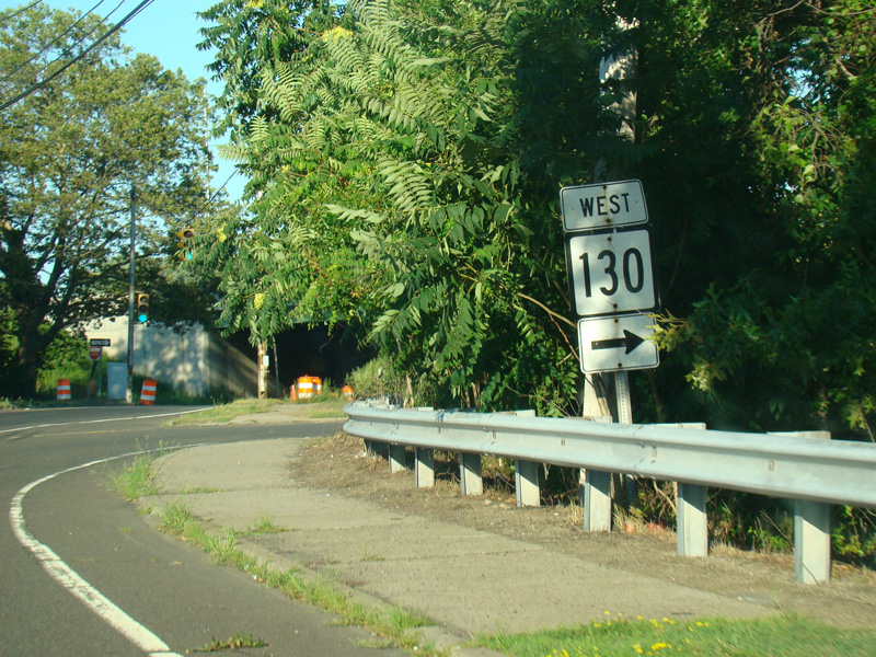
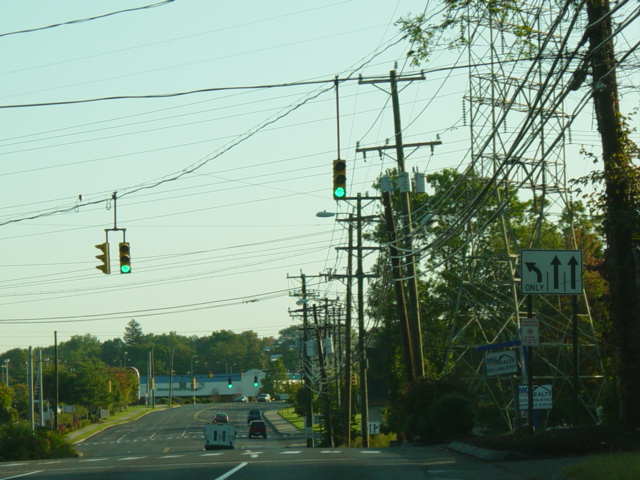
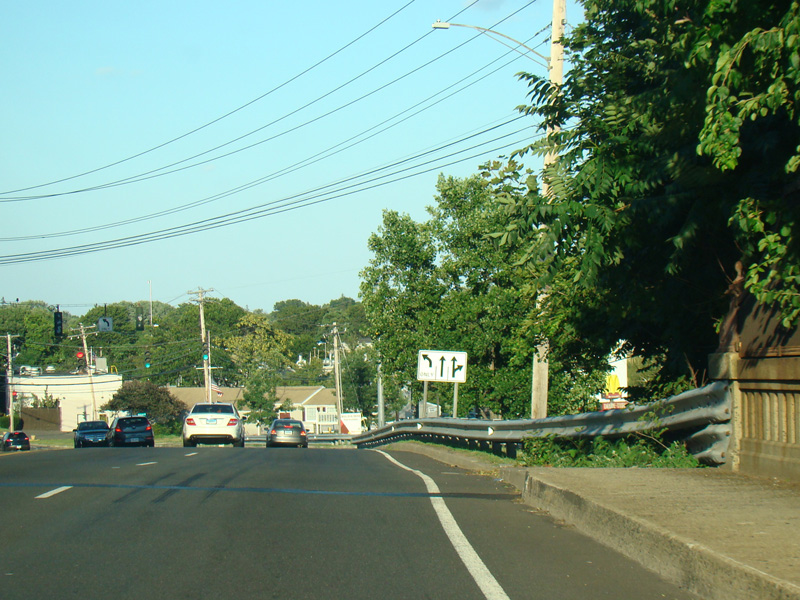
The northbound and southbound lanes split to form a circle at exit 33 of the Connecticut Turnpike (I-95). Ferry Boulevard (CT 130) begins on the right.
Photos taken July 2016.