- Direction:
- East/West
- Western Terminus:
- Ohio-West Virginia state line
- Eastern Terminus:
- Virginia-West Virginia state line
- Distance:
- 222.66 miles
- Counties:
- Jackson, Roane, Calhoun, Gilmer, Lewis, Upshur, Barbour, Randolph, Pendleton
- Signed:
- Yes
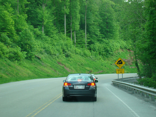
US 33 is an east/west route that runs diagonally from Elkhart, Indiana, to Richmond, Virginia. The section in West Virginia crosses the state from Ohio to Virginia. In most areas, it is a two-lane undivided road that winds its way through the mountains.
Between Weston and Elkins, US 33 follows Corridor H (US 48), a highway through the Appalachian Mountains that, when completed, will connect I-79 in West Virginia to I-81 in Virginia. It is part of the Appalachian Development Highway System, a network of highways intended to provide better access to and from Appalachia, thereby promoting economic development in the region. Two sections have been completed so far, a western section between Weston and Kerens, which carries US 33 for most of its length, and an eastern section between Davis and Wardensville. In Elkins, US 33 leaves Corridor H to follow the local streets through the town, while Corridor H continues as US 48/US 219.
There are also two short sections of US 33 in West Virginia that are four-lane divided highways, one near the border with Ohio and one in Bowden, a short distance east of Elkins.
| Photo Gallery |
|---|
| Map |