- Direction:
- North/South
- Southern Terminus:
- Capital Beltway (I-495) and I-95 in Springfield
- Northern Terminus:
- Virginia-District of Columbia boundary
- Distance:
- 10.53 miles
- Counties:
- Fairfax, Arlington
- Independent Cities:
- Alexandria
- Signed:
- Yes
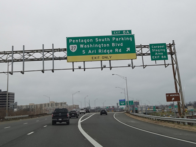
The Shirley Highway is a short north/south highway connecting Northern Virginia with the District of Columbia. It is designated I-95 for a good part of its length. In Springfield, there is a massive interchange with the Capital Beltway (I-95). There, I-95 leaves the Shirley Highway and joins I-495 along the Beltway to the east. The Shirley Highway continues north as I-395 for about 10 miles to a bridge over the Potomac River into the District of Columbia.
The Shirley Highway has express toll lanes in the middle. Motorists may elect to use these lanes in order to avoid traffic on the mainline at the cost of paying a toll. Vehicles with three or more occupants can receive an exemption from the toll by using special E-ZPass Flex tags that are available in Maryland and Virginia.
| Photo Gallery |
|---|
| Map |