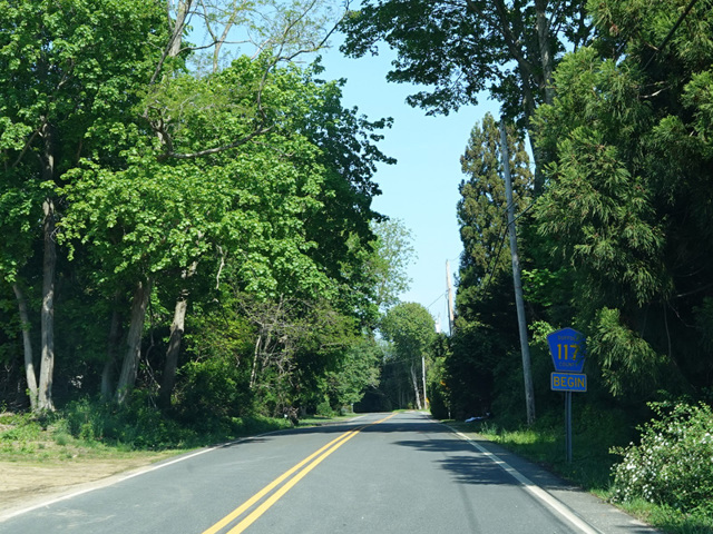
Burns Road

- Direction:
- East/West
- Western Terminus:
- St. Mary's Road on Shelter Island
- Eastern Terminus:
- Cartwright Road (CR 69) on Shelter Island
- Distance:
- 0.45 miles
- Signed:
- Yes
Burns Road is a short east/west route on Shelter Island. It begins at St. Mary's Road and runs east as CR 117 for less than half a mile to Cartwright Road (CR 69), where it loses the county route designation and becomes a local street. It is the highest-numbered county route in Suffolk County.
| Photo Gallery |
|---|
| Map |