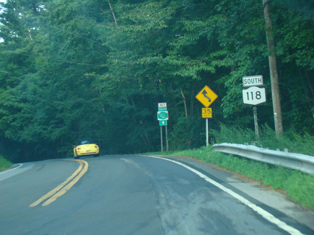
- Direction:
- North/South
- Southern Terminus:
- Somerstown Road (NY 100) in Yorktown Heights
- Northern Terminus:
- US 6 in Mahopac
- Distance:
- 10.71 miles
- Counties:
- Westchester, Putnam
- Signed:
- Yes
NY 118 is a north/south route in the northern area of Westchester County. It begins at Somerstown Road (NY 100) in Yorktown Heights. The first section is known as Saw Mill River Road. It runs west for about a mile to the eastern terminus of NY 129 and then turns to the north. After a few miles, it intersects the eastern end of Crompond Road (US 202/NY 35). NY 118 is multiplexed with US 202 and NY 35 for about a mile, curving to the east, until the end of Saw Mill River Road. At this point, NY 35 splits off and runs east along Amawalk Road. NY 118 and US 202 turn north onto Tomahawk Street and runs along the west side of the Amawalk Reservoir. After a couple of miles, US 202 splits off and turns east onto Lincolndale Road. NY 118 continues north along Tomahawk Street to the Westchester-Putnam county line, where it curves to the west for one block and then ends at US 6.
| Photo Gallery |
|---|
| Map |