- Direction:
- East/West
- Western Terminus:
- Merrick Boulevard at the Queens-Nassau county line
- Eastern Terminus:
- NY 27A and County Line Road (Suffolk CR 1) at the Nassau-Suffolk county line
- Distance:
- 16.76 miles
- Signed:
- No
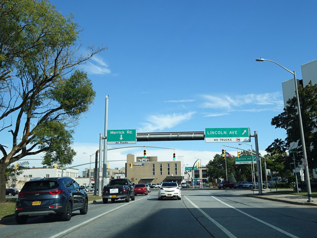
Merrick Road is the southernmost major east/west route in Nassau County. Merrick Boulevard in Queens become Merrick Road upon crossing the county line. For its first few miles, it runs just north of Sunrise Highway (NY 27). The two routes cross at a grade-separated interchange in Rockville Centre. Merrick Road continues east along the South Shore. There are interchanges with the Meadowbrook Parkway and the Wantagh Parkway. The Seaford-Oyster Bay Expressway (NY 135) has its southern terminus at Merrick Road. A short distance before the Nassau-Suffolk county line, there is a traffic light at Carman Mill Road (NY 27A). The NY 27A designation turns east onto Merrick Road. At the county line, CR 27 ends, and Merrick Road continues into Amityville as NY 27A alone before changing names to become Montauk Highway.
Many years ago, the NY 27A designation used to follow Merrick Road to the west for its entire length into Queens. It has been truncated to include only the last section east of Carman Mill Road.
| Photo Gallery |
|---|
| Map |