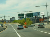
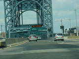
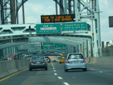
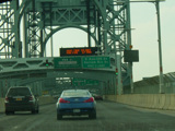
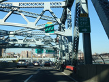
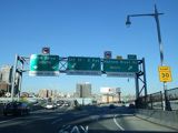
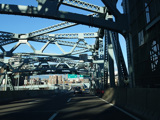
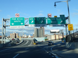
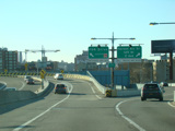
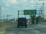
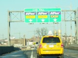
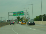
Staten Island Expressway, Verrazano Bridge, Brooklyn-Queens Expressway, RFK Bridge, Bruckner Expressway
Ramp Views (Archived)
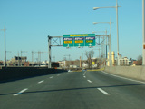
These pictures show the ramp for what were then exits 35W-E. They have since been renumbered as exits 35A-B.
Photos taken April 2006.
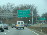
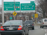
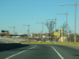
These signs were found on the spur connecting exit 42 of the Brooklyn-Queens Expressway to the Grand Central Parkway. They have all been replaced.
Photos taken March 2010.
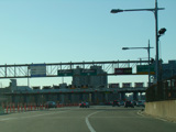
The exit for Randalls Island was originally located immediately before the span of the RFK Bridge leading to Manhattan. It has since been relocated to the beginning of the roadway at exit 46.
Photos taken October 2019.
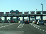
These pictures show the leg of the RFK Bridge from Randalls Island to Manhattan as it appeared before cashless tolling. The tollbooth has been removed and replaced with a cashless tolling gantry just before the bridge.
Photos taken March 2015.
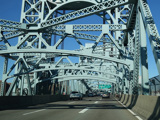
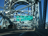
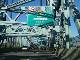
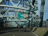
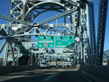
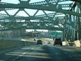
These signs used to mark the leg of the RFK Bridge, which was then known as the Triboro Bridge, from Randalls Island to Manhattan. They have all been replaced.
Photos taken May 2006.
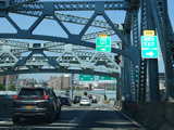
The right-hand sign on the bridge shown in these photos was replaced with a new reflective sign in 2011, and the left-hand sign was replaced a year later.
Photos taken July 2010.
This photograph shows the same signage at the point when the sign on the right had been replaced but the sign on the left had not been yet.
Photo taken July 2011.
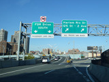
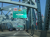
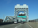
These pictures show the leg of the RFK Bridge from Randalls Island to Manhattan as it appeared in 2022. The yellow tabs marking the exit for the Harlem River Drive as new have since been removed.
Photos taken June 2022.
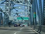
These pictures show the leg of the RFK Bridge from Randalls Island to Manhattan as it appeared in 2021. There have been some changes in signage to attempt to make it easier for motorists to find their way through the interchange at the end of the bridge.
Photos taken November 2021.
These pictures show the split at the end of the leg of the RFK Bridge from Randalls Island to Manhattan as it appeared right after the direct connection to the Harlem River Drive was completed. There have been some subsequent sign changes.
Photos taken December 2020.
These pictures show the split as it appeared as the direct connection to the Harlem River Drive was nearing completion but not yet open to traffic.
Photos taken November 2020.
These pictures show the split as it appeared after the reconstruction of the ramp to East 125 Street and 2 Avenue was completed but before the construction of the direct connection to the Harlem River Drive.
Photos taken October 2019.
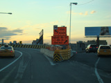
This temporary orange signs marked the split while construction work was in progress to reconstruct the ramp to the East 125 Street and 2 Avenue.
Photo taken April 2016.
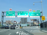
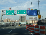
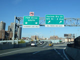
These pictures show the split as it appeared before the ramp reconstruction began. The signs shown have been replaced.
Photos taken March 2015.
This sign, found on the leg of the RFK Bridge from Randalls Island to Manhattan, indicated that the toll for the bridge was $5.50 when the photograph was taken.
Photo taken July 2010.
When the toll for the RFK Bridge was raised to $6.50 in December 2010, they simply removed the "$5.50" so that the sign no longer indicated what the toll was. The sign was updated again several months later to indicate the new toll.
Photo taken January 2011.
This sign, found on the leg of the RFK Bridge from Randalls Island to Manhattan, indicated that the toll for the bridge was $6.50 when the photograph was taken.
Photo taken July 2012.
This sign, found on the leg of the RFK Bridge from Randalls Island to Manhattan, indicated that the toll for the bridge was $7.50 when the photograph was taken.
Photo taken March 2013.
The leftmost sign in this picture was replaced with one giving the toll rates for the RFK Bridge.
Photo taken July 2012.
This picture shows the ramp to East 125 Street and 2 Avenue from the end of the leg of the RFK Bridge from Randalls Island to Manhattan as it appeared before it was reconstructed. The signs show have been replaced.
Photo taken January 2011.
These pictures show the RFK Bridge from Manhattan to Randalls Island as it appeared before cashless tolling. The tollbooth has since been removed, and the signs for cash and E-ZPass lanes have been replaced with more advance signage for the split for I-278.
Photos taken 2013-2015.
Going even further back in time, the rightmost sign in this picture was replaced with one giving the toll rates for the RFK Bridge.
Photo taken March 2013.
These signs used to mark the split at the end of the leg of the RFK Bridge from Manhattan to Randalls Island. They have been replaced.
Photos taken March 2013.
These temporary orange signs marked the split at the end of the leg of the RFK Bridge from Manhattan to Randalls Island while a new ramp was being constructed. New permanent signage has since been installed.
Photos taken April 2014.
This pictures shows the split at the end of the leg of the RFK Bridge from Manhattan to Randalls Island when the construction was nearing its completion.
Photo taken August 2014.
