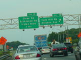
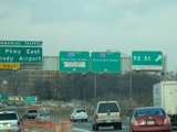
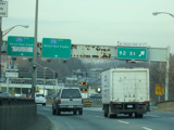
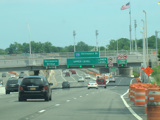
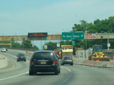
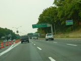
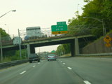
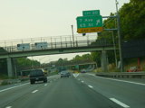
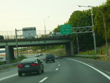
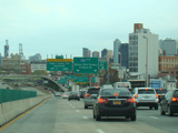
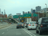
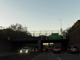
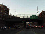
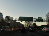
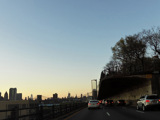
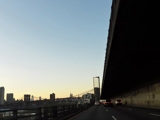
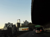
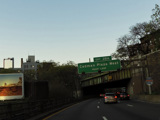
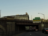
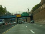
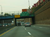
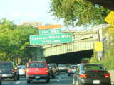
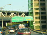
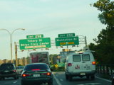
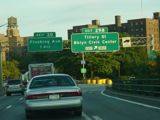
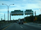
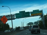
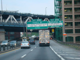
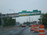
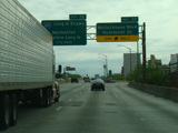
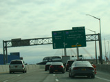
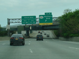
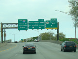
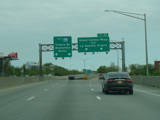
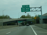
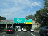
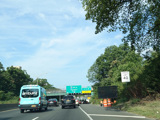
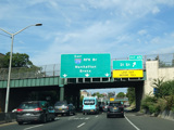
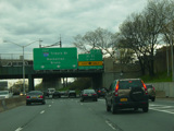
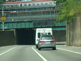
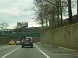
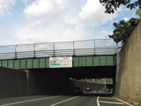
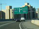
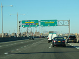
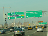
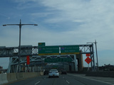
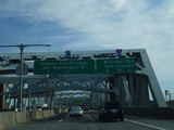
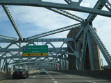
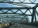
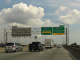
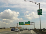
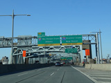
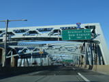
Staten Island Expressway, Verrazano Bridge, Brooklyn-Queens Expressway, RFK Bridge, Bruckner Expressway
Eastbound Views (Archived)
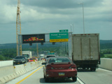
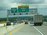
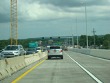
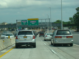
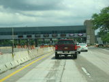
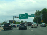
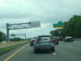
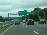
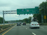
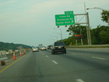
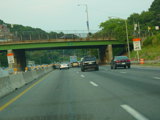
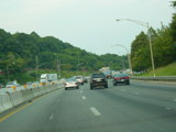
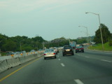
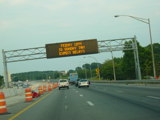
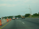
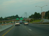
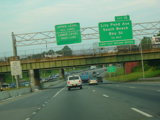
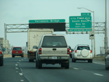
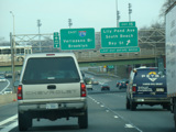
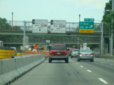
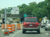
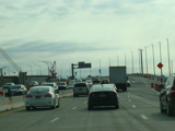
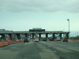
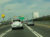
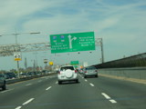
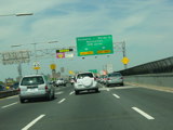
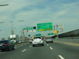
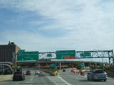
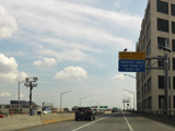
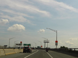
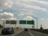
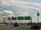
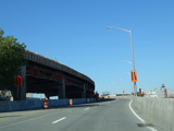
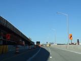
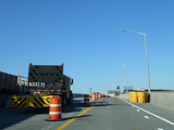
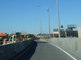
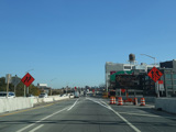
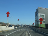
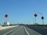
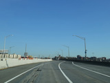
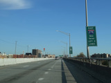
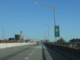
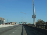
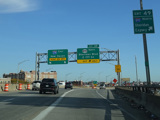
These pictures show the beginning of I-278 in New York as it appeared while construction was in progress to replace the Goethals Bridge. At the time, both directions were routed over what is now the eastbound span while the westbound span was being built. The tollbooth has since been replaced with a cashless tolling gantry.
Photos taken July 2017.
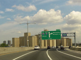
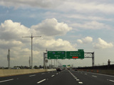
These signs used to mark exits 4-11 of the Staten Island Expressway. They have all been replaced.
Photos taken July 2017.
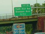
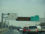
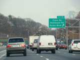
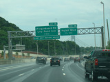
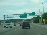
These pictures show the Staten Island Expressway at exits 12-15 while construction was in progress to create the HOV lane.
Photos taken July 2005.
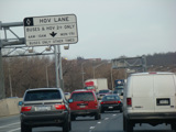
These pictures show the Staten Island Expressway at exits 13-15 after the HOV lane first opened. It has since been extended west to exit 8. All of the signs shown in these pictures have been replaced, and several of the exits have been reconfigured.
Photos taken March 2010.
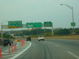
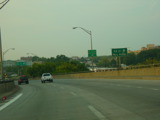
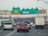
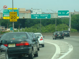
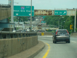
Originally, the toll for the Verrazano Bridge only collected in the westbound direction. These signs were found on the eastbound approach prior to the change to two-way tolling. They have all been replaced or modified.
Photos taken 2017-2018.
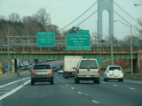
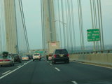
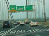
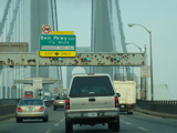
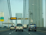
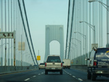
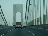
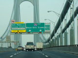
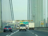
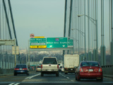
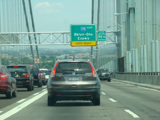
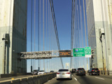
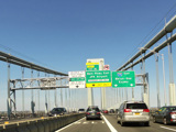
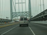
These pictures show the Verrazano Bridge as it appeared in 2005. All of the signs shown have been replaced.
Photos taken July 2005.
These signs were replaced when the HOV lane was added to the Verrazano Bridge.
Photos taken June 2014.
These signs were found at exit 18 of the Brooklyn-Queens Expressway. They have been replaced.
Photos taken April 2019.
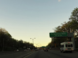
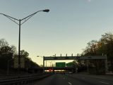
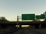
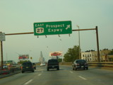
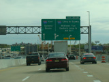
This pictures show the Brooklyn-Queens Expressway at exits 18-24 before construction work began to rehabilitate this section. Most of the signs shown have been replaced.
Photos taken July 2005.
These pictures show the Brooklyn-Queens Expressway at exits 20-21 while construction was in progress.
Photos taken June 2014.
These pictures show the signage for exit 25 as it appeared when the Hugh L. Carey Tunnel (I-478) was known as the Battery Tunnel.
Photos taken July 2005.
These pictures show the same signs as they appeared after the renaming. They have since been replaced with new arrow-per-lane signage.
Photos taken April 2017.
The section of the Brooklyn-Queens Expressway in the vicinity of the Brooklyn Heights Promenade originally had three lanes, but it has been reduced to two lanes in order to extend the lifetime of the structure. Now, the right lane becomes an exit only lane for exit 27, and the expressway has two lanes until after exit 28B.
Photos taken April 2019.
These old button-copy signs used to marks exits 27-28A from the Brooklyn-Queens Expressway. They were all replaced by 2014.
Photos taken 2004-2005.
These old button-copy signs for exits 29A-B were replaced with new reflective signs in early 2008. The new signs indicate certain hours during which trucks must use Tillary Street to access the Manhattan Bridge.
Photos taken September 2004.
When these signs first installed, the old tabs indicating the exit numbers were left in place. They have since been replaced.
Photo taken August 2008.
These signs were installed in 2008 but were removed shortly thereafter in order that all signs for exit 29A give the hours during which trucks may not use the exit.
Photo taken August 2008.
The left-hand sign on each of these sign bridges was replaced with one indicating that motorists bound for the Holland Tunnel should use exit 29B.
Photos taken June 2010.
These pictures show the final iteration of signage at exits 29A-B with day and time restrictions for trucks. These restrictions have since been removed.
Photos taken October 2021.
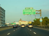
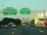
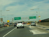
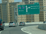
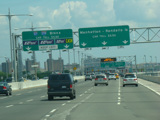
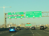
These photographs show the approach to exit 30 travelling east before work began to rebuild this section.
Photos taken September 2004.
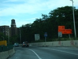
These photographs show the approach to exit 30 travelling while work was in progress to rebuild this section. The old signs had been removed, and temporary orange signs marked the exit.
Photos taken August 2008.
These pictures show the original Kosciuszko Bridge. A new cable-stayed bridge has since been constructed to take its place. All of the signs shown in these pictures have been replaced.
Photos taken August 2008.
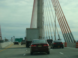
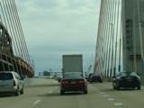
When the northbound span of the new Kosciuszko Bridge first opened, traffic in both directions was routed over it while the old bridge was demolished and the new southbound span was constructed.
Photos taken April 2017.
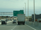
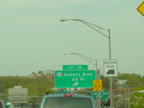
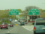
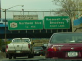
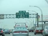
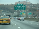
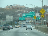
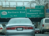
Originally, exit 36 was for Queens Boulevard (NY 25) and 65 Place. Exit 37 was for Roosevelt Avenue and Broadway. These have been renumbered as exit 39 and exit 40, respectively. All of the signs shown in these pictures have been replaced.
Photos taken April 2005.
A few years later, some of the signs had been replaced, while others still showed the old exit number.
Photos taken March 2010.
These signs were found on the Brooklyn-Queens Expressway at exits 41-44. They have all been replaced. At the time, tall trucks were required to use exit 44 to avoid a low overpass. The roadway has since been lowered under the overpass such that this is no longer necessary.
Photos taken April 2017.
What is now exit 45 used to be numbered as exit 3 according to the Grand Central Parkway exit numbering scheme, which was rather confusing. Fortunately, this problem has been dealt with. These photographs show the approach to the exit just after the exit number change. An orange sign gave the old exit number for drivers who were looking for it.
Photos taken April 2006.
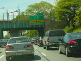
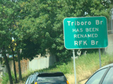
This photograph shows the sign for the renaming of the Triboro Bridge as it appeared when it was first installed. It has since been vandalized.
Photo taken July 2010.
For a period of time in 2018-2019, the exit only lane for exit 45 was eliminated, and motorists entering from the Brooklyn-Queens Expressway were forced to merge into one of the three lanes for the bridge. It has since been reinstated.
Photos taken August 2019.
This picture shows the signage that was in place before the exit only lane for exit 45 was eliminated.
Photo taken April 2015.
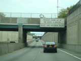
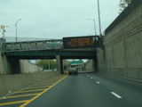
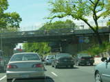
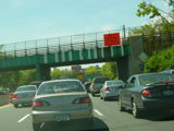
This electronic sign was located just before the RFK Bridge and could be illuminated to indicate that the right lane was closed. It has since been removed.
Photo taken July 2010.
This picture shows the same overpass after the electronic sign was removed. A sign giving toll rates was installed with cashless tolling in 2017.
Photo taken April 2015.
This picture shows the same overpass after cashless tolling. The toll at the time was $8.50, but it has since been raised to $9.50.
Photo taken August 2018.
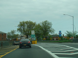
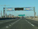
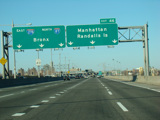
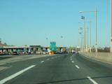
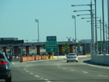
These pictures show I-278 on Randalls Island as it appeared prior to cashless tolling on the RFK Bridge. All signs making reference to tolls were modified to remove those references, and the tollbooth was demolished.
Photos taken 2010-2017.
These signs lasted a short time after cashless tolling but have since been replaced.
Photos taken August 2018.
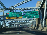
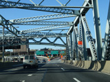
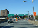
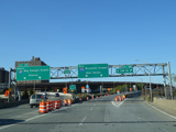
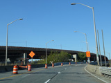
These photos show the section of the RFK Bridge, which was then known as the Triboro Bridge, from Queens to Randalls Island while work was being done on it in 2004.
Photos taken January 2004.
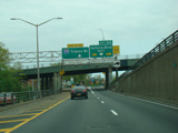
These photographs show I-278 on Randalls Island as it appeared in 2006. At the time, what is now exit 46 was an unnumbered exit. All of the signs shown here have been replaced.
Photos taken April 2006.
This photograph shows the signage for exit 46 as it originally appeared. The sign has since been modified to inform motorist that E-ZPass tags can be purchased at all cash lanes.
Photo taken July 2010.
This photograph shows signage for the RFK Bridge when the toll was $5.50. It was raised to $6.50 in December 2010.
Photo taken July 2010.
This photograph shows signage for the RFK Bridge when the toll was $6.50. It was raised to $7.50 in March 2013.
Photo taken January 2011.
This photograph shows signage for the RFK Bridge when the toll was $7.50. It was raised to $8.00 in March 2015.
Photo taken March 2015.
New signs informing motorists of the tolls both with and without E-ZPass were installed on each side of this variable message sign. (Of course, the print on the new signs is so small that it's impossible to read while driving.)
Photo taken July 2010.
The tab instructing Bronx-bound motorists to keep left has been removed from this sign and replaced with a third arrow.
Photo taken July 2010.
These pictures show the northern leg of the RFK Bridge and the Bruckner Expressway as they appeared during an earlier stage of the reconstruction.
Photos taken 2018-2019.
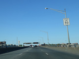
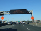
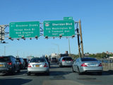
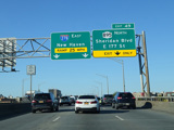
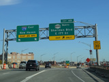
These pictures show exit 49 of the Bruckner Expressway as it appeared before the Sheridan Expressway (I-895) was converted into Sheridan Boulevard (NY 895).
Photos taken August 2018.
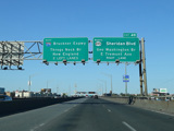
These pictures show progress on the construction as of 2020. The old overhead signs that had been modified to reference Sheridan Boulevard (NY 895) instead of the Sheridan Expressway (I-895) have since been removed.
Photos taken May 2020.
These pictures show the same area as it appeared a year later. Most of the overhead signs had been removed, and temporary signage marked exit 49.
Photos taken November 2021.
