Central Avenue, Grand Central Avenue, Ocean Avenue, Sea Avenue, Cincinnati Avenue, Hawthorne Avenue, Richmond Avenue, River Road, Main Street, Broad Street, Maple Avenue, Riverside Avenue, Victory Bridge, Convery Boulevard, Amboy Avenue, St. Georges Avenue
Southbound Views


Skipping another few miles, there is a drawbridge over the Manasquan River.
Photos taken November 2015.


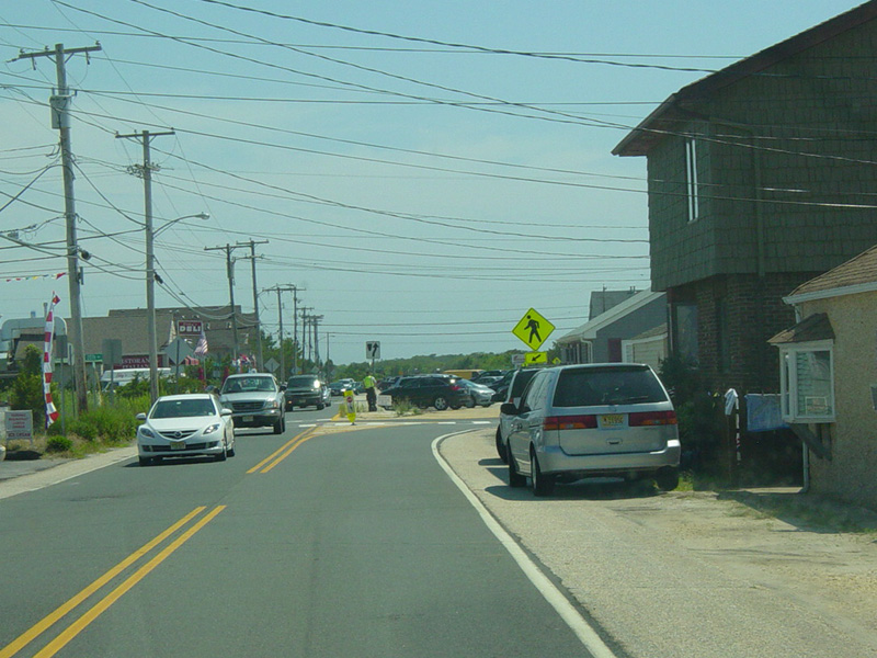
Welcome to Point Pleasant Beach! NJ 35 splits into a pair of one-way streets. There are traffic lights at Broadway Avenue (CR 635), McLean Avenue, Arnold Avenue, and Atlantic Avenue.
Photos taken November 2015.


Ocean Road (NJ 88) begins on the right. Bear left to stay on NJ 35.
Photos taken November 2015.

There is a turnaround so that vehicles from Ocean Road (NJ 88) can access the northbound side.
Photo taken January 2023.

The northbound and southbound lanes come back together, and there is railroad crossing.
Photo taken January 2023.


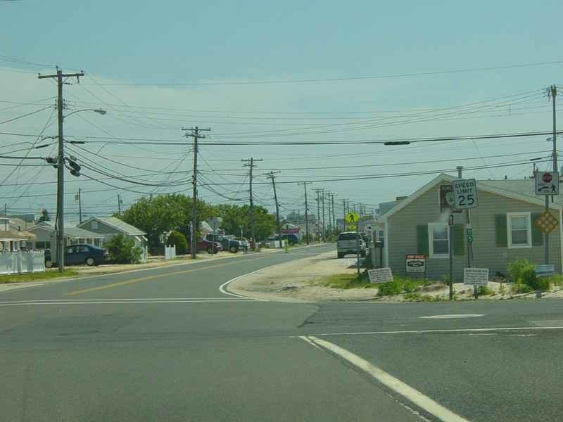
This section is called Sea Avenue. There is a traffic light as NJ 35 merges with Ocean Avenue, which is designated CR 635 north of here. Proceed straight ahead onto Ocean Avenue to continue south on NJ 35.
Photos taken January 2023.


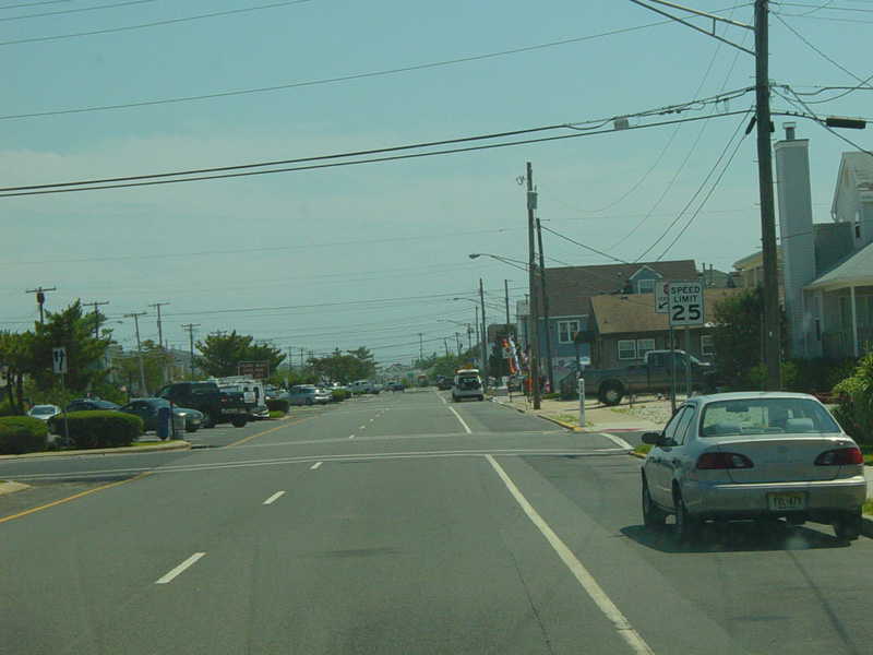
Skipping a significant distance to the south, welcome to Seaside Park! From this point south, there is no signage for NJ 35. The only indications that this is a state route are the milepost markers.
Photos taken June 2013.


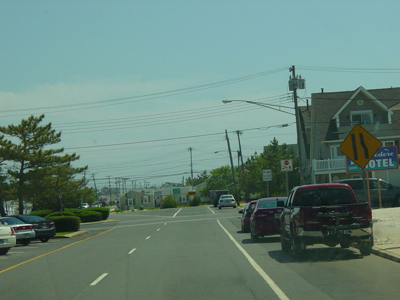
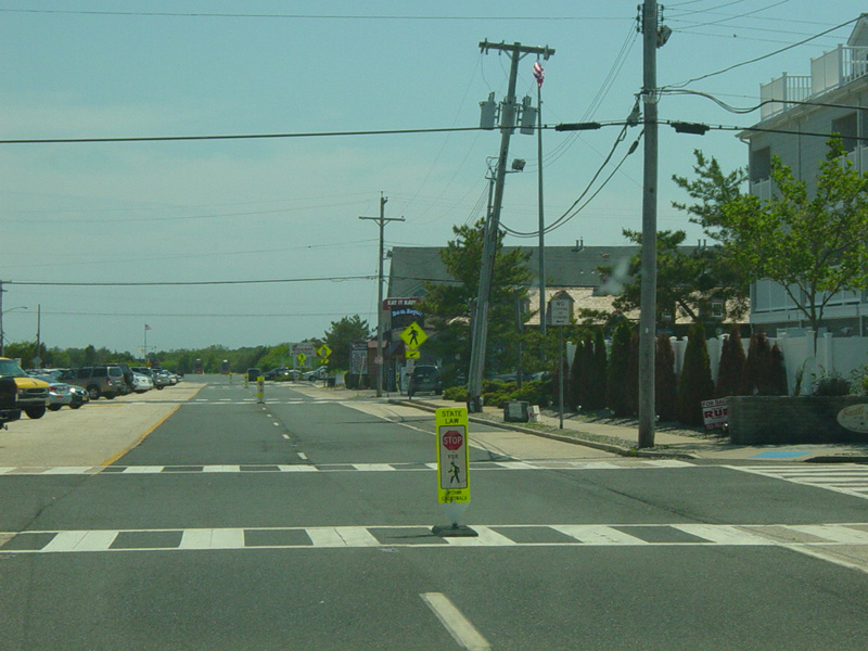
Central Avenue runs south as a six-lane divided road with parking in the center. There is a traffic light at J Street, which is erroneously signed as CR 2. It does not actually have a county route number.
Photos taken June 2013.


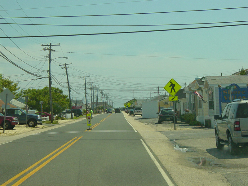
Central Avenue narrows down to four lanes.
Photos taken June 2013.


The road widens slightly in this area. Seaside Park Borough Hall is located in the middle between the eastbound and westbound lanes.
Photos taken June 2013.
After a short distance, the median ends and Central Avenue narrows down to two lanes.
Photos taken June 2013.
Central Avenue widens and becomes a divided road with parking in the median again. NJ 35 ends just ahead at the entrance to Island Beach State Park. There is no signage for the end of the route.
Photos taken June 2013.