
Franklin Pierce Highway, Keene Road, Old Henniker Road, Main Street, Hopkinton Road, Pleasant Street, North Main Street, Loudon Road, Dover Road, First New Hampshire Turnpike, Rochester Road, Littleworth Road, Knox Marsh Road, Silver Street, Central Avenue, Indian Brook Road, High Street, Market Street
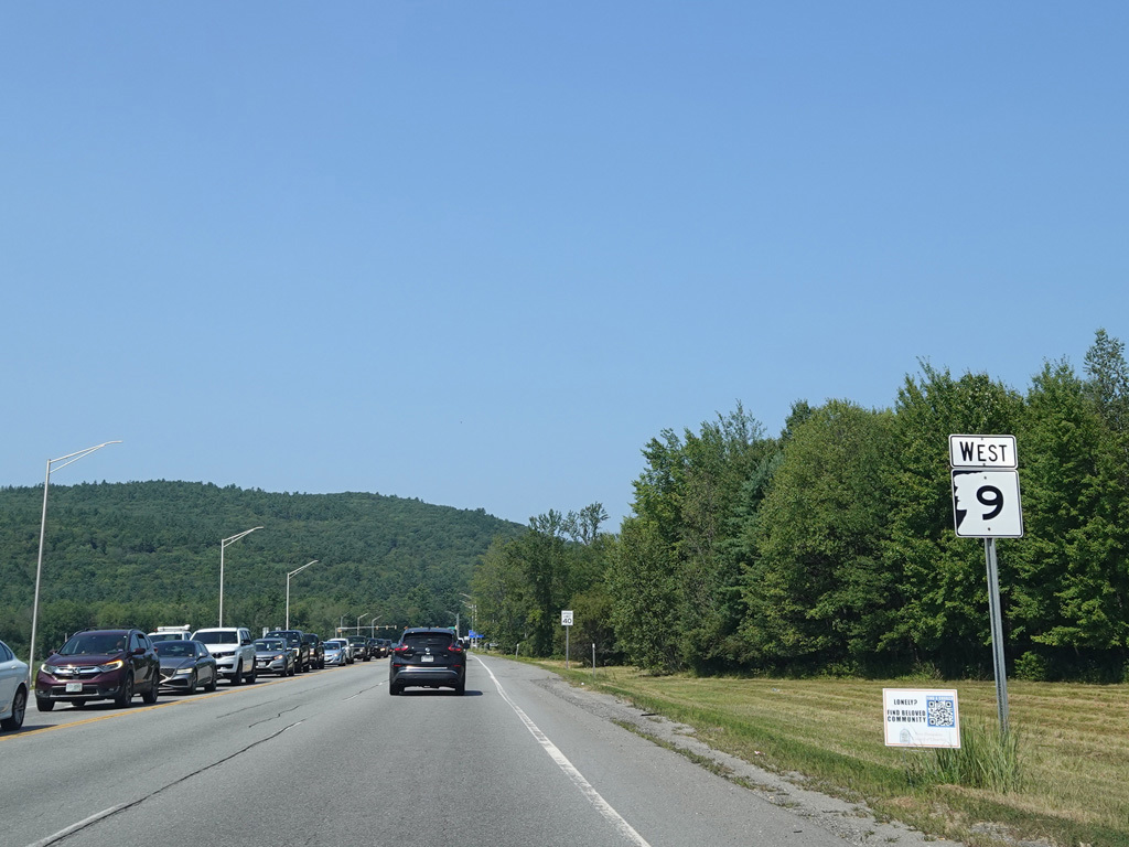
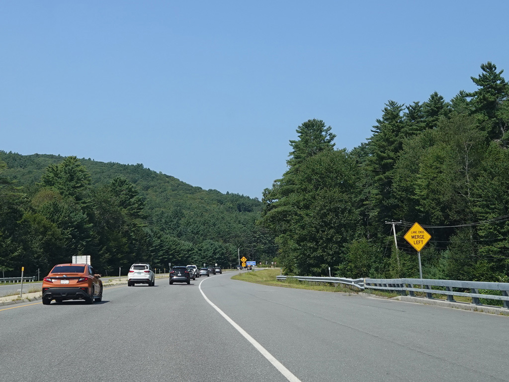
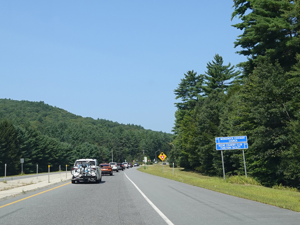
Westbound Views


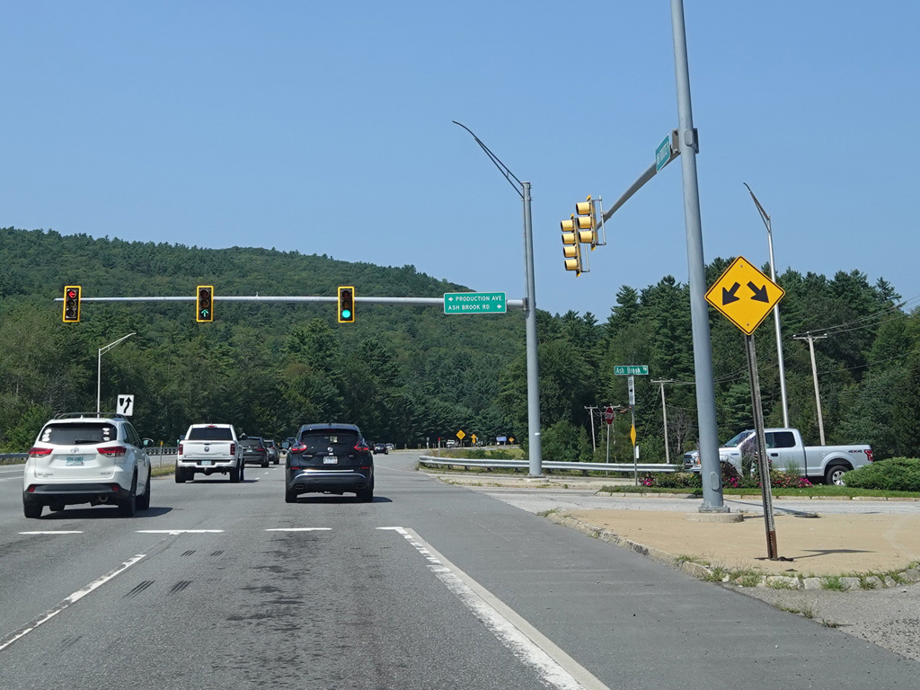
There is a traffic light at Production Avenue and Ash Brook Road.
Photos taken August 2025.

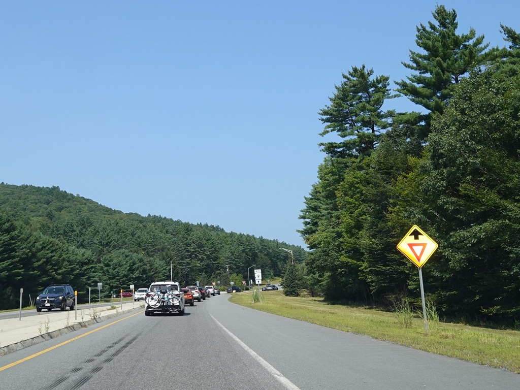
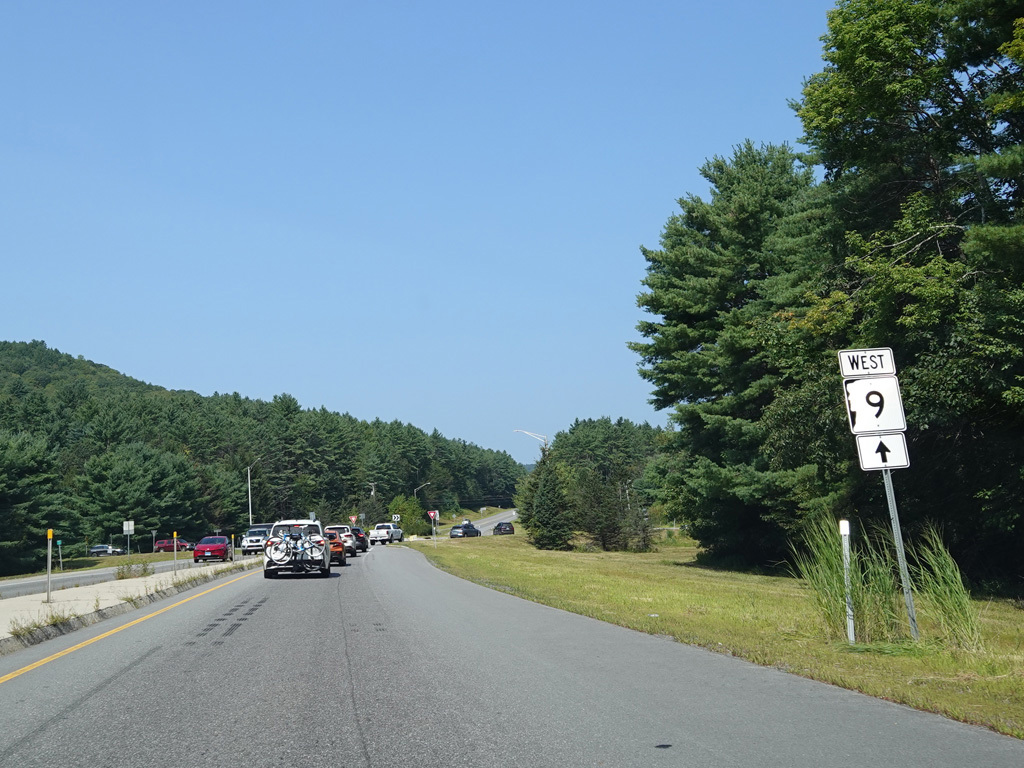
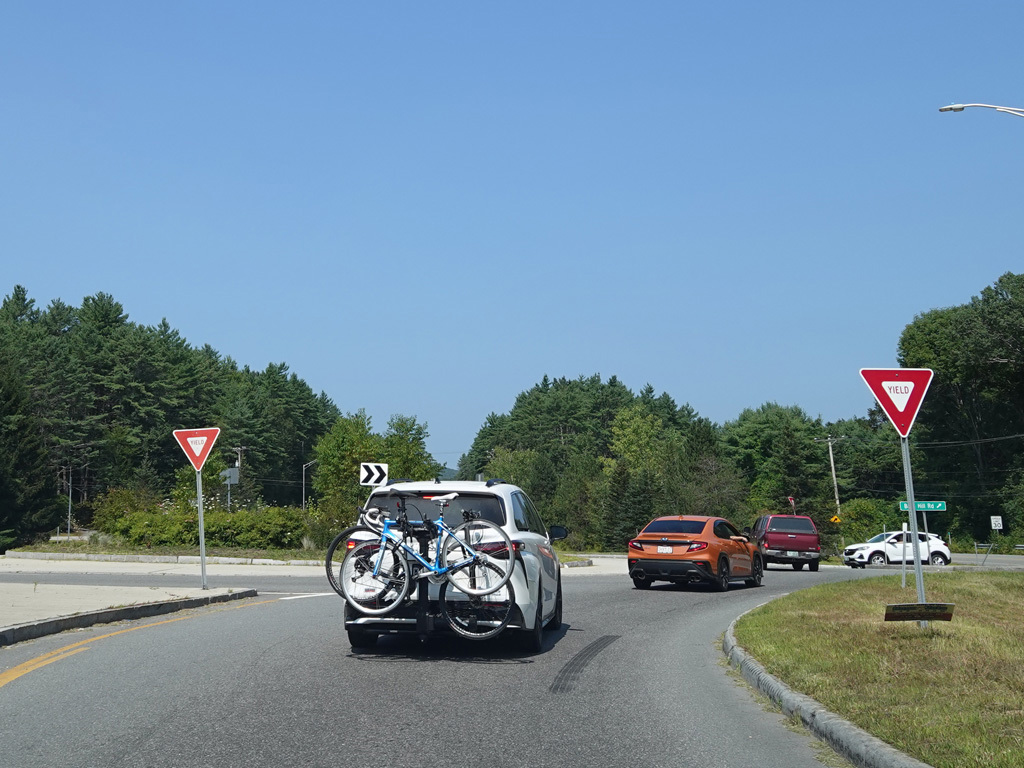

There is a roundabout at Base Hill Road.
Photos taken August 2025.

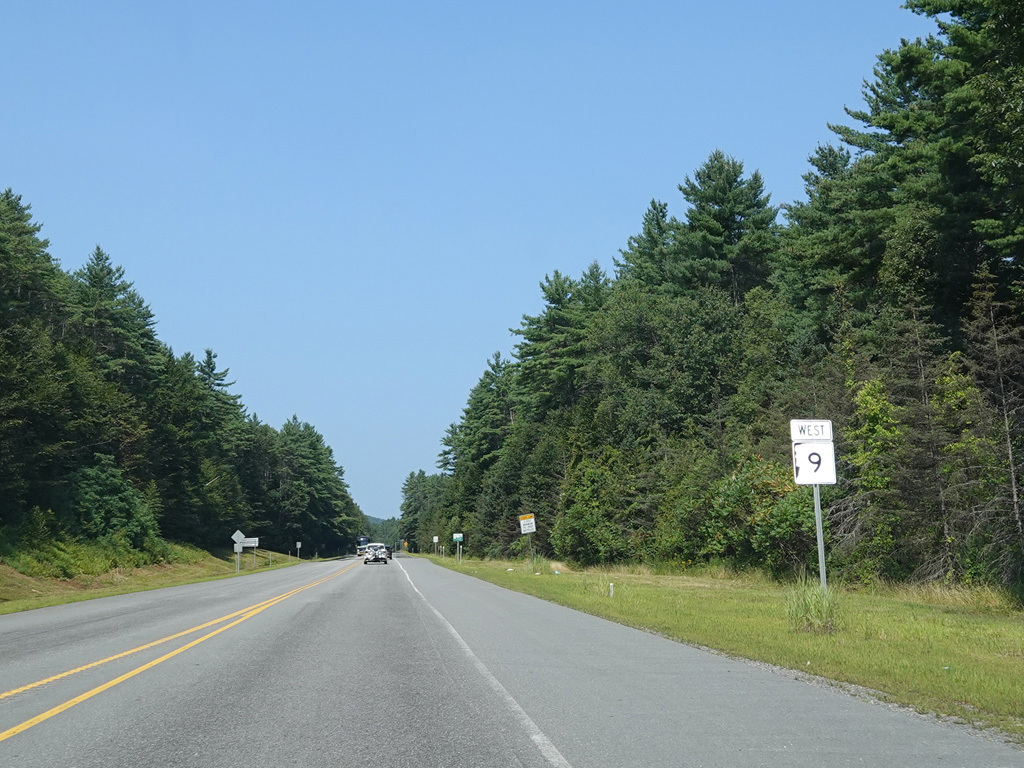
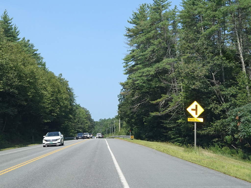

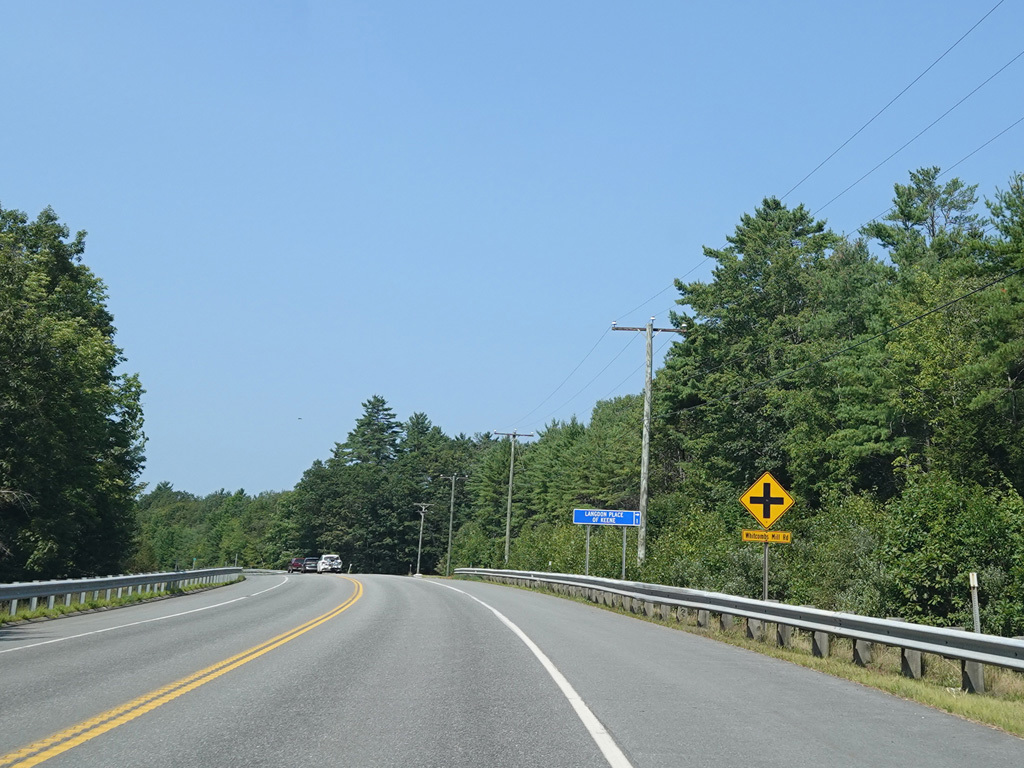
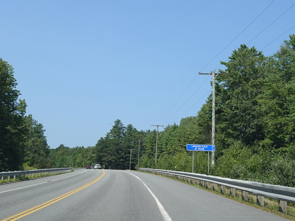
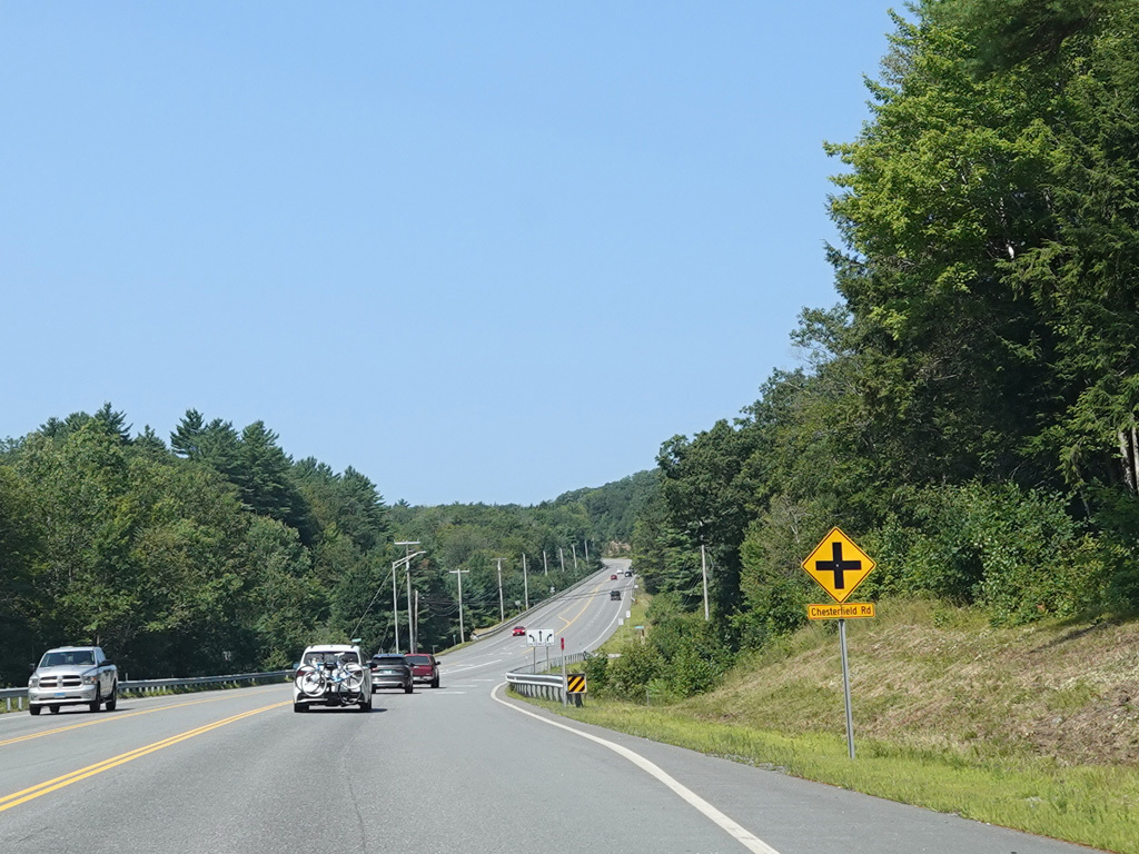

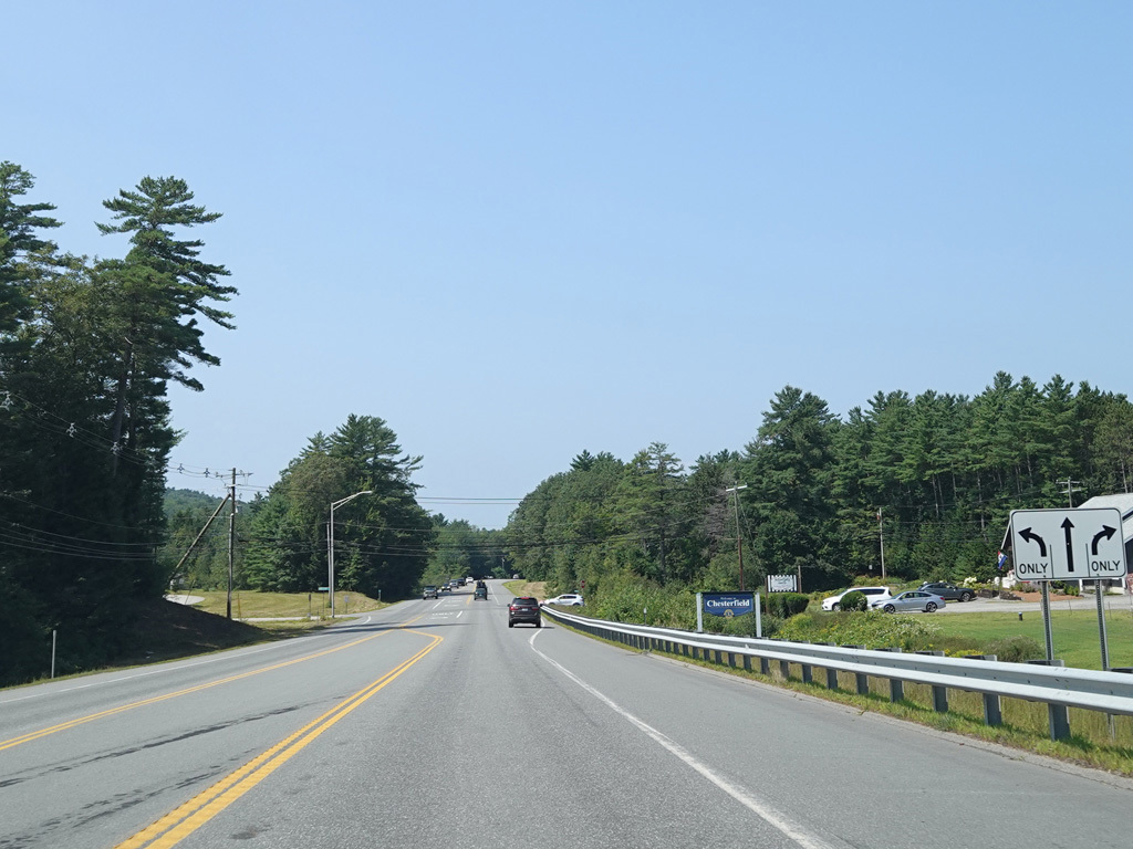
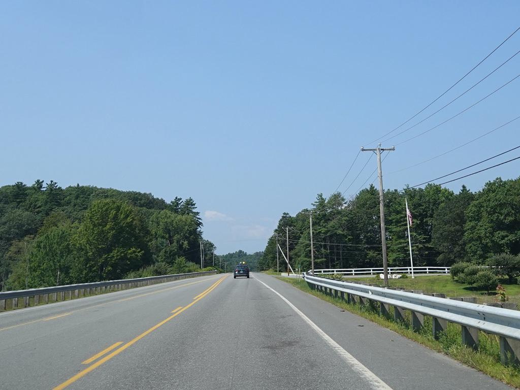
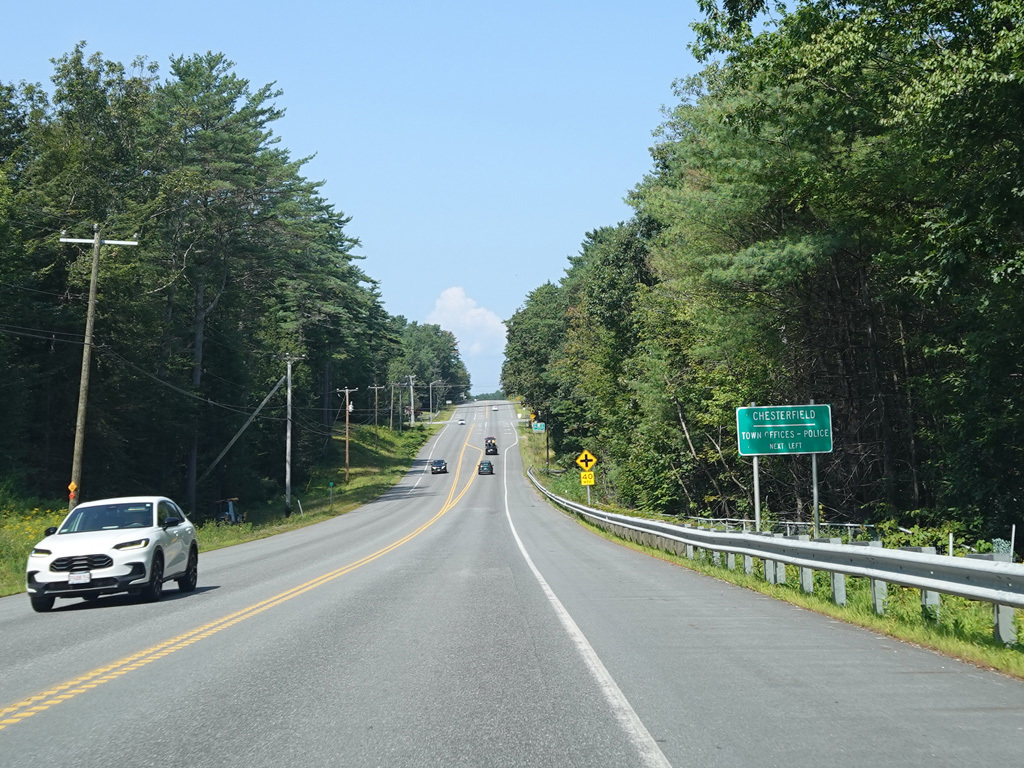
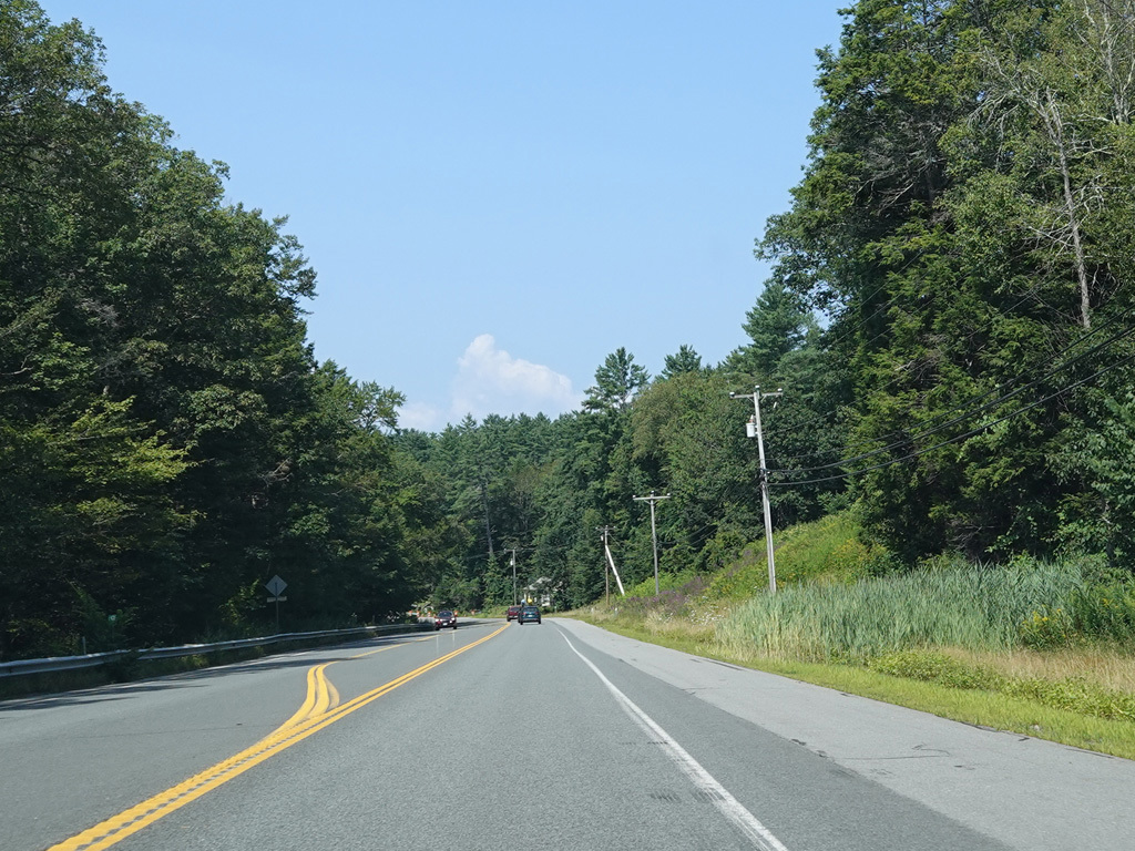
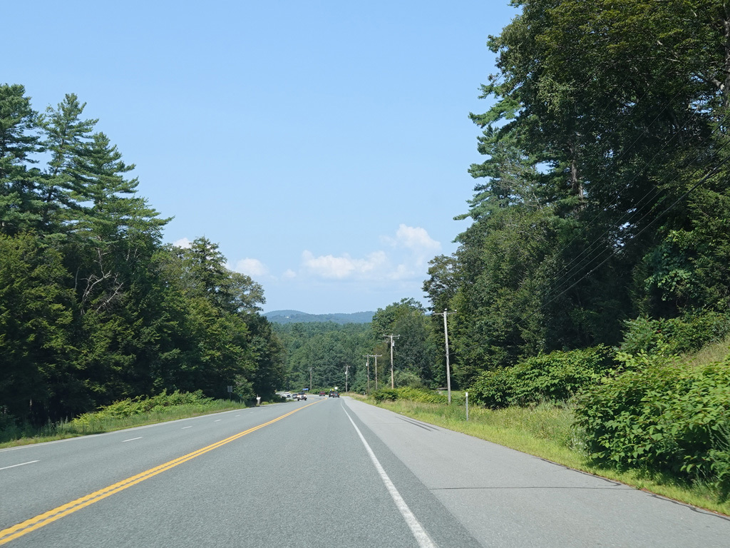
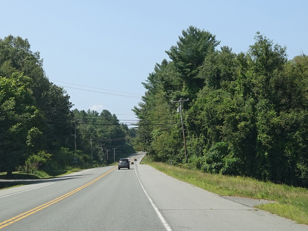
The median ends, and Franklin Pierce Highway runs west as a two-lane undivided road. There are uncontrolled intersections at Daniels Hill Road, Whitcombs Mill Road, and Chesterfield Road.
Photos taken August 2025.
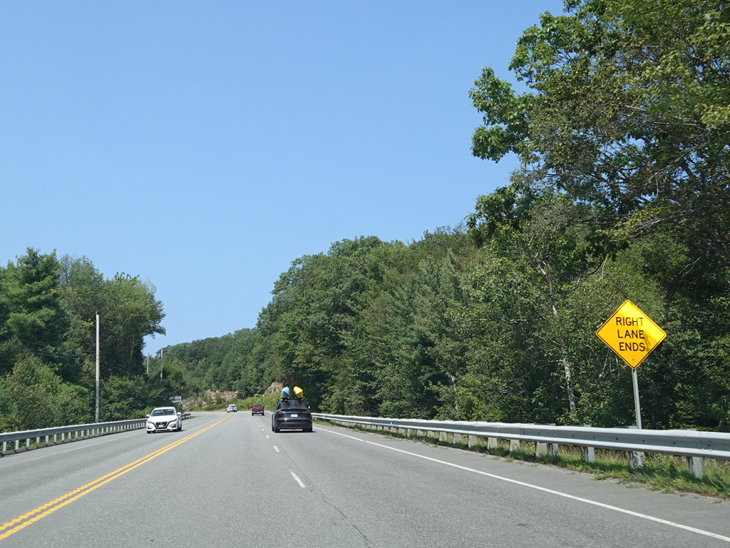
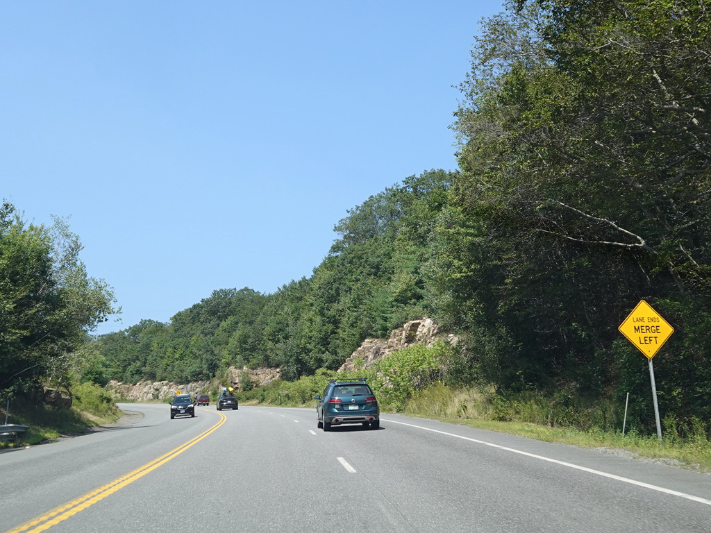

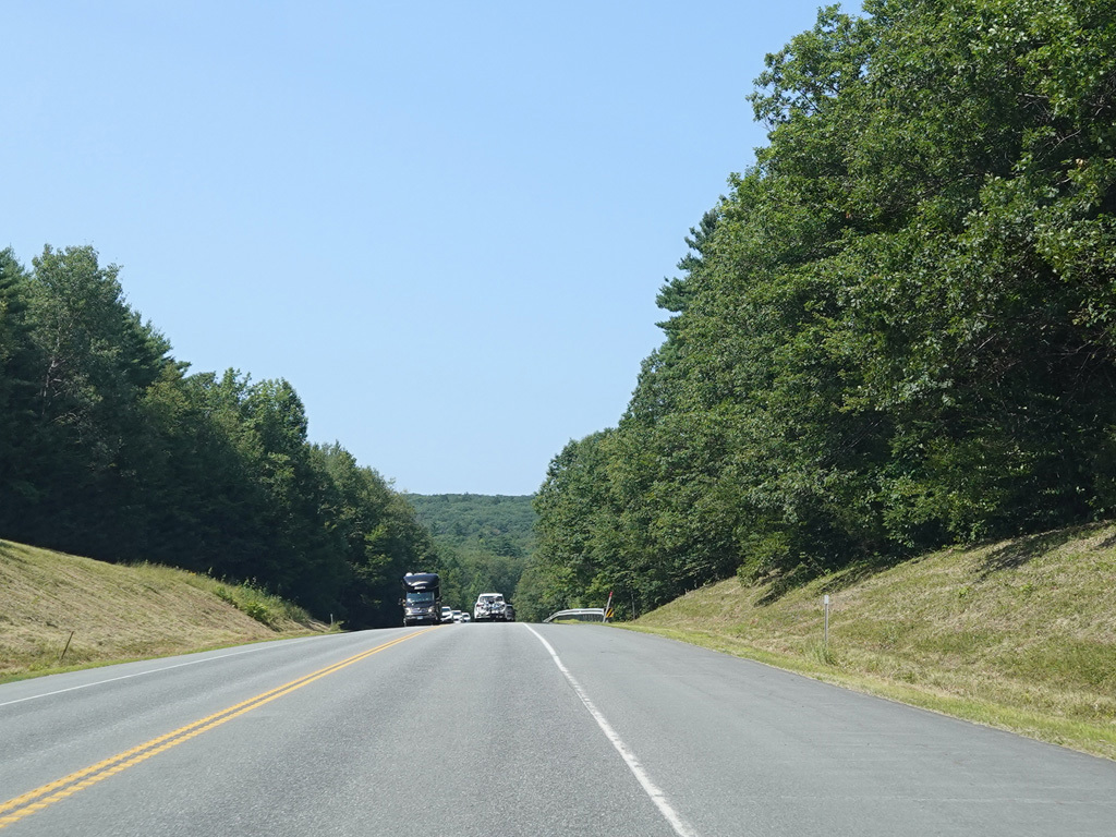
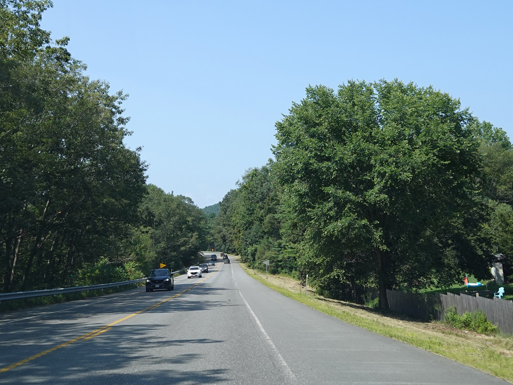
There is a second westbound lane for show vehicles going uphill. There are some cliffs along the right side here.
Photos taken August 2025.


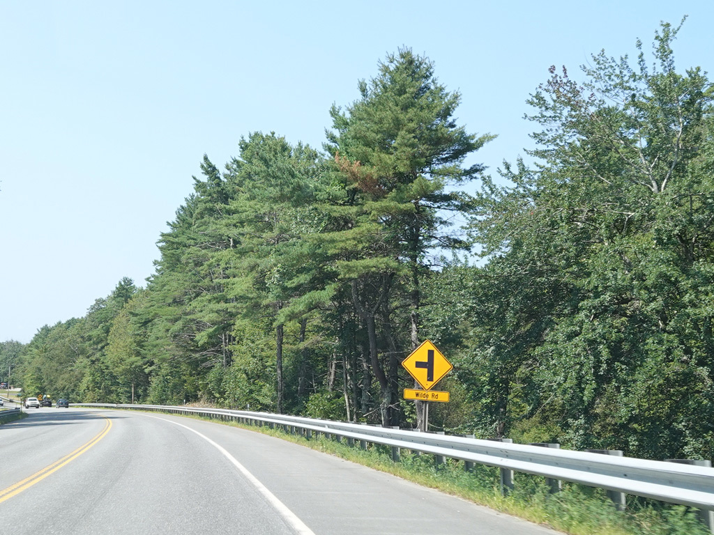

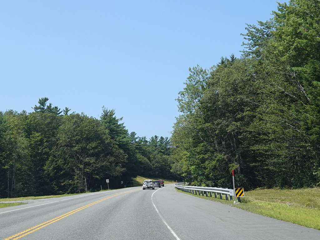
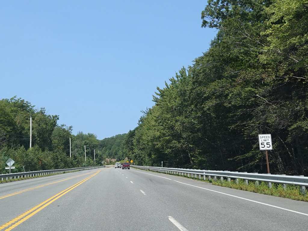
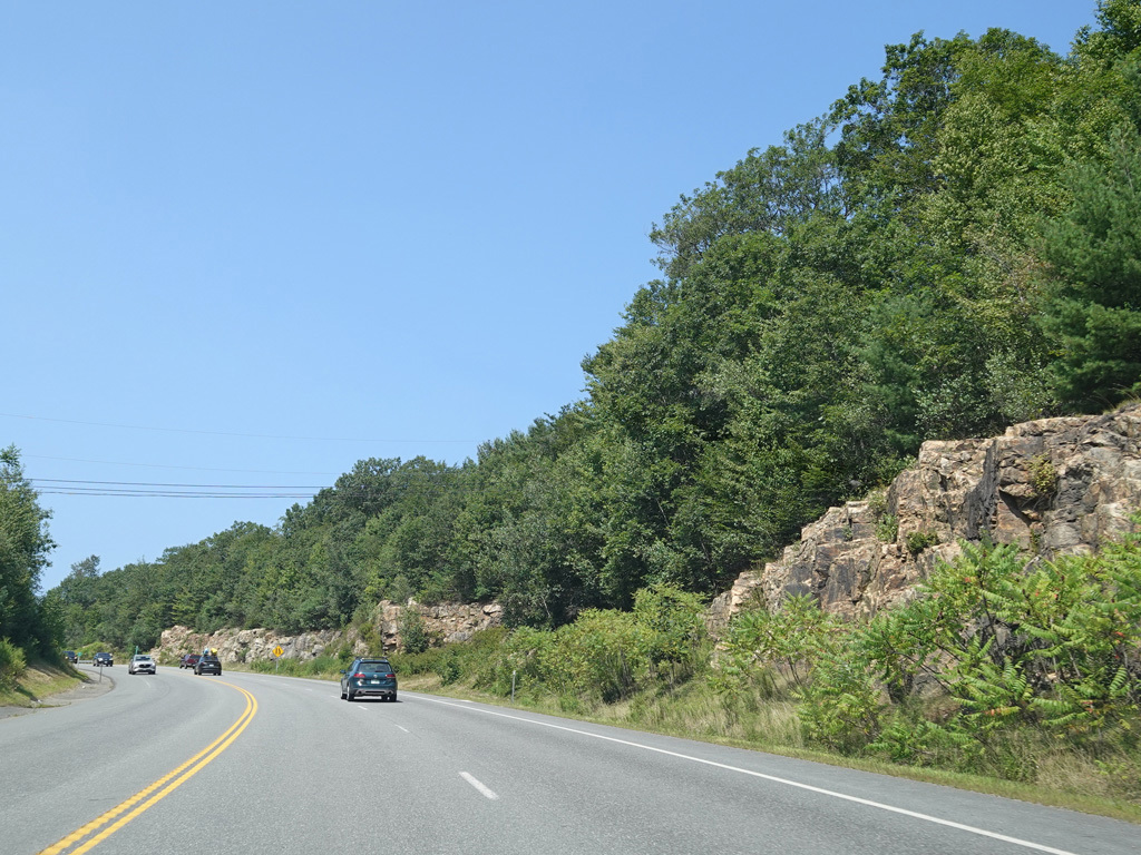
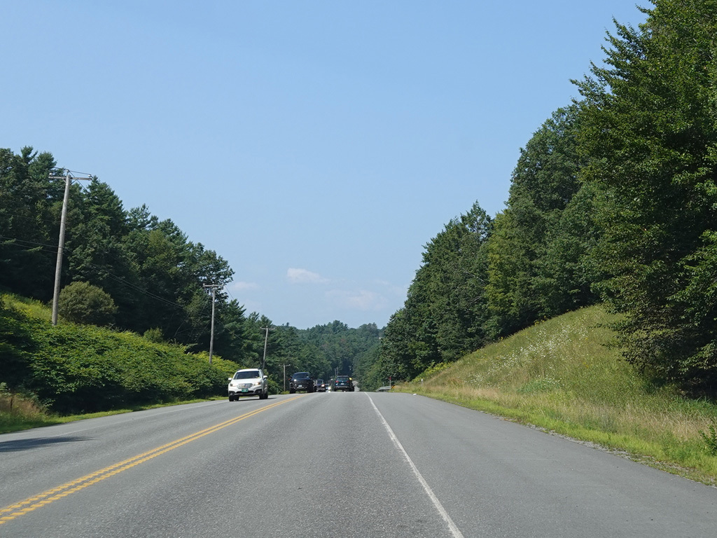
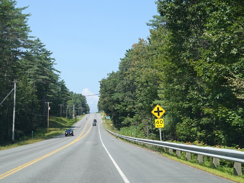
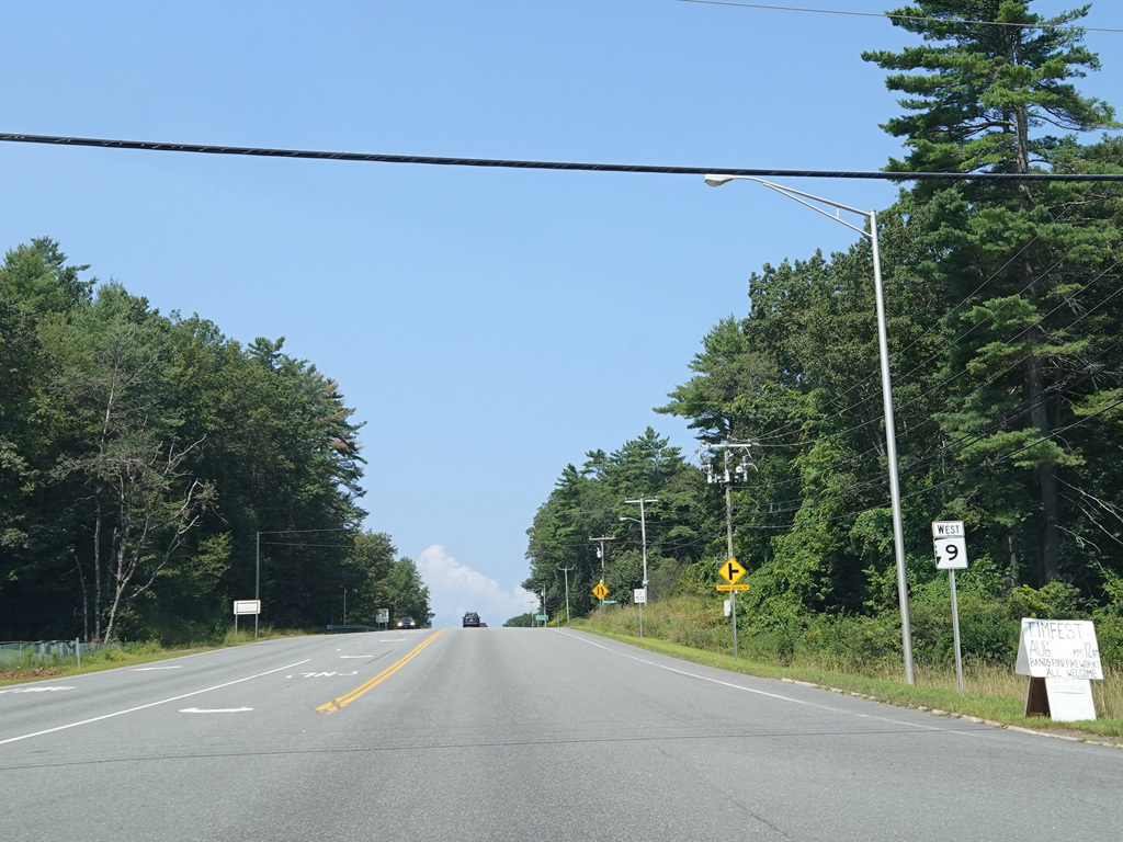
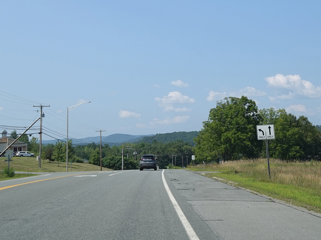
At the top of the hill, the climbing lane ends. There are uncontrolled intersections at Forestview Road, Glebe Road, Wilde Road, Wellington Drive, and Sugar Maple Lane.
Photos taken August 2025.

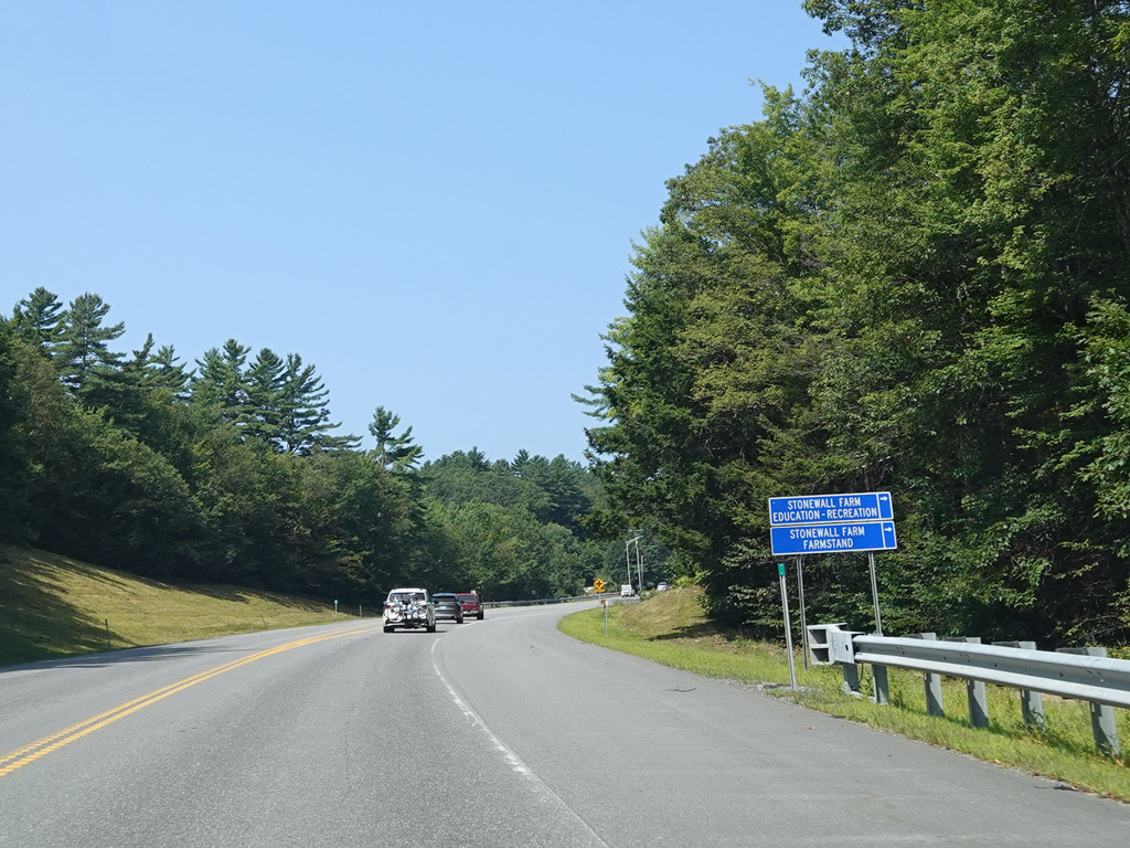
Chesterfield Gorge State Wayside is on the right here.
Photo taken August 2025.
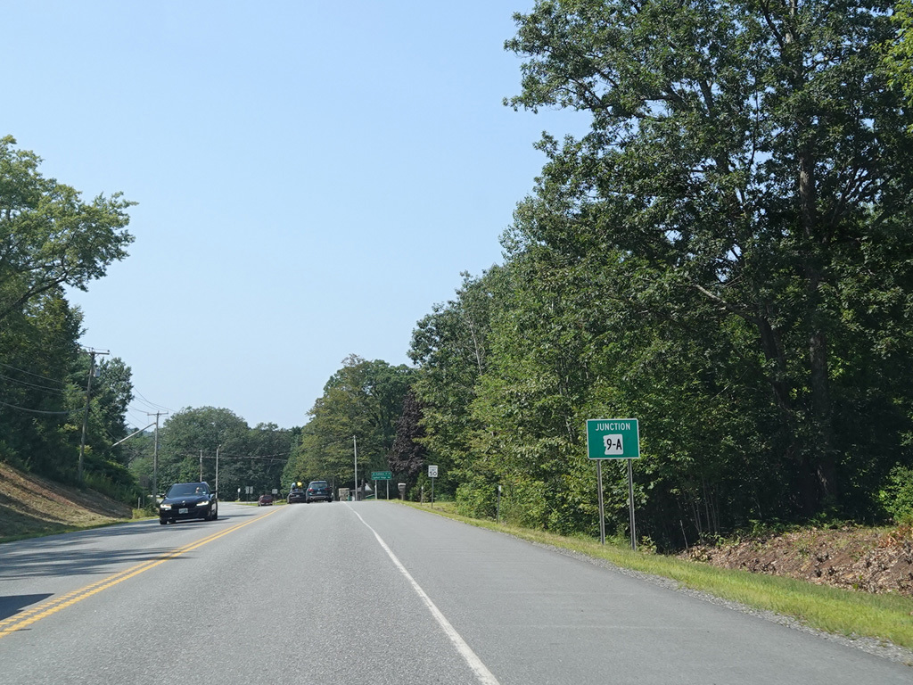
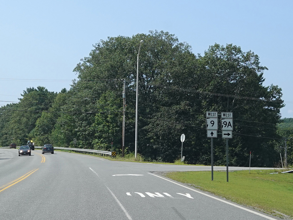
NH 9A splits off to the right.
Photos taken August 2025.
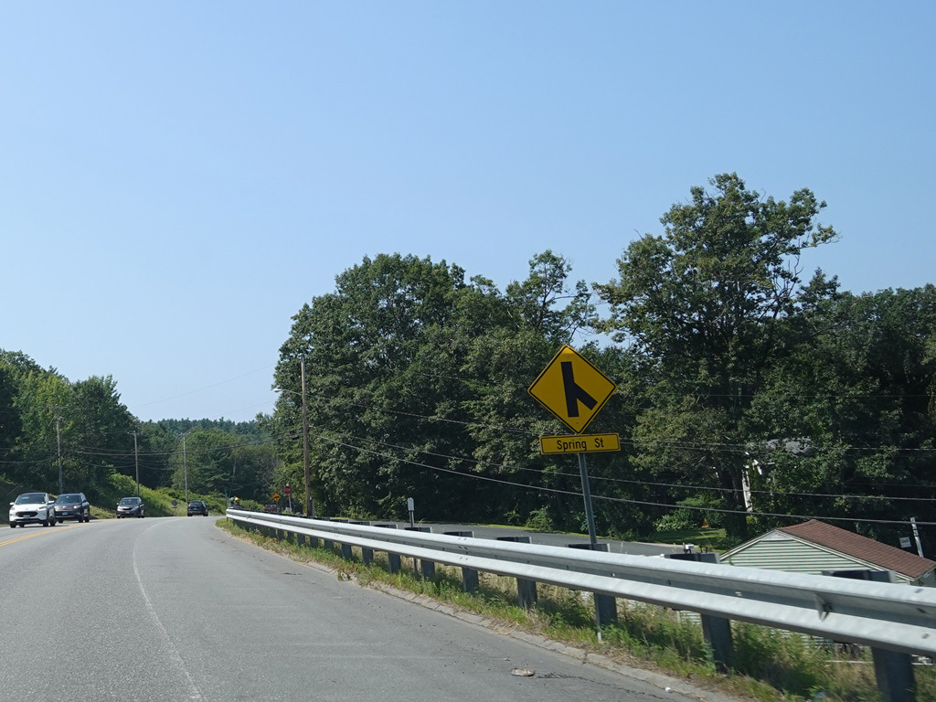

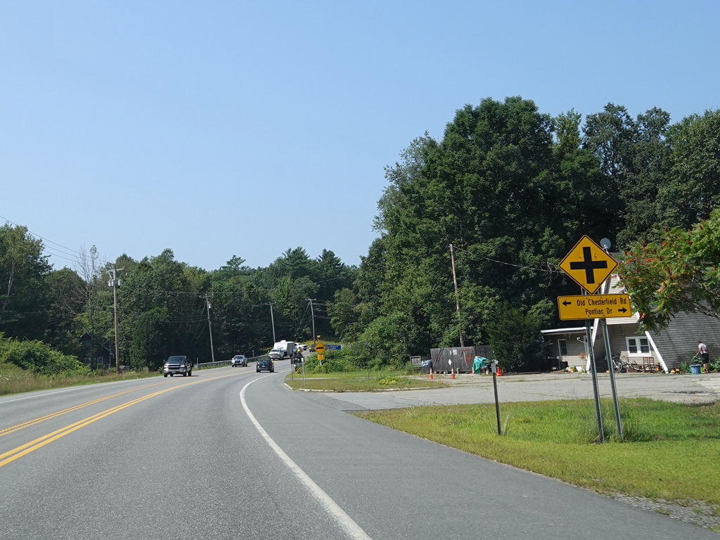

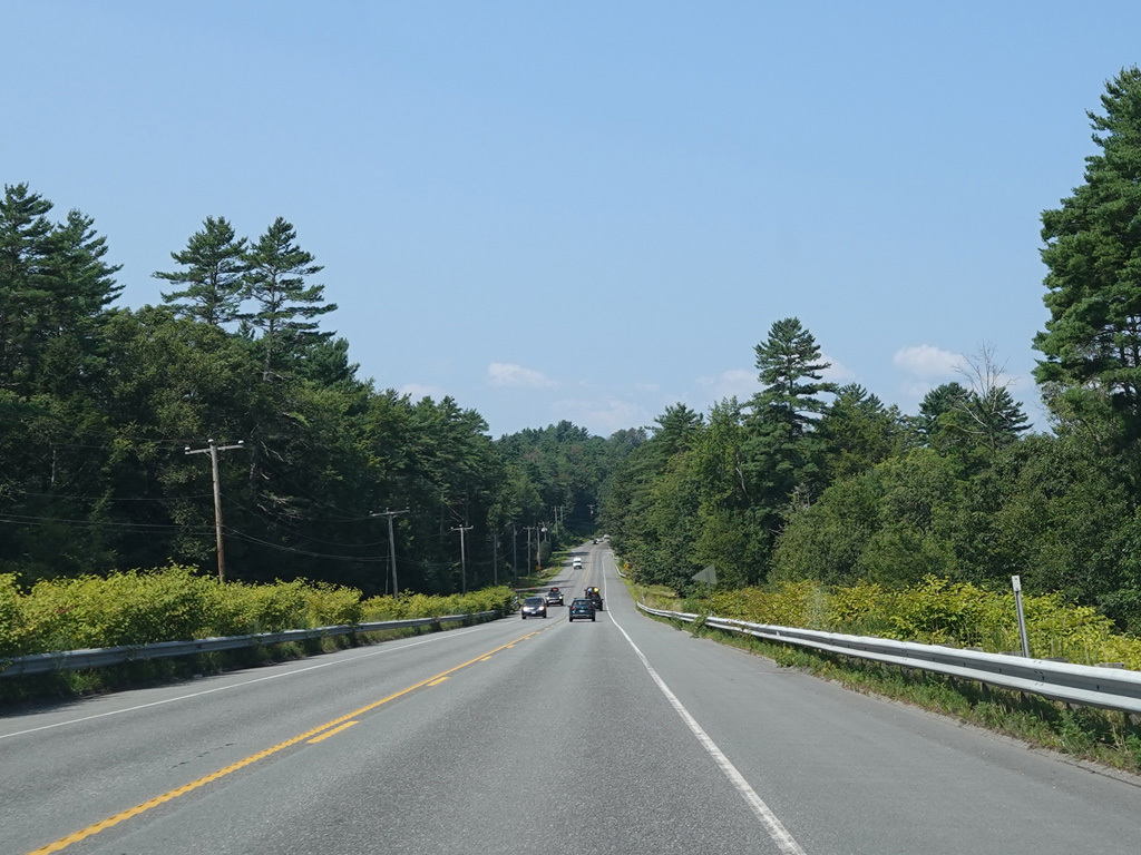
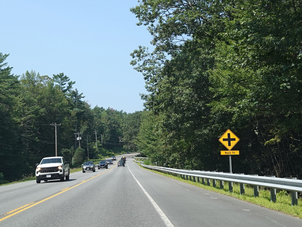
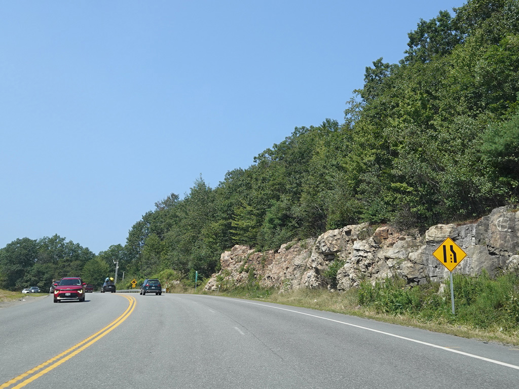
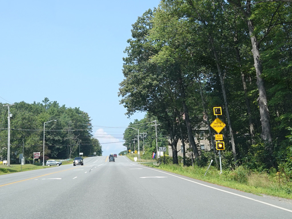
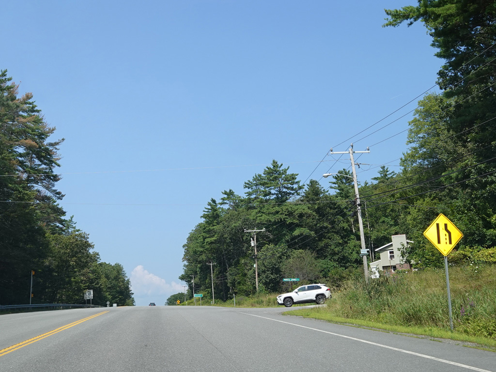
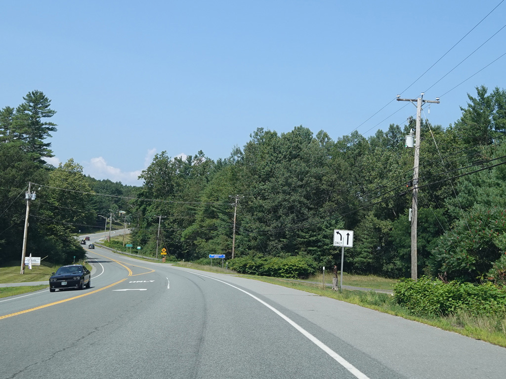
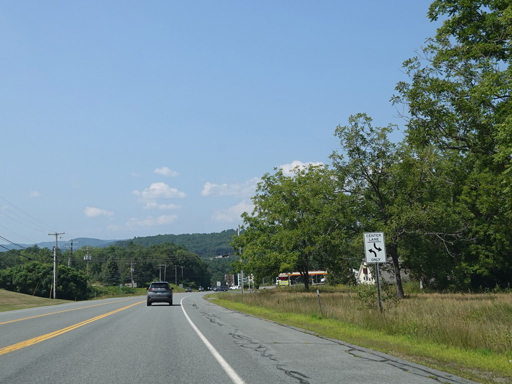
There are uncontrolled intersections at Spring Street, Old Chesterfield Road, Pontiac Drive, and Maple Road.
Photos taken August 2025.


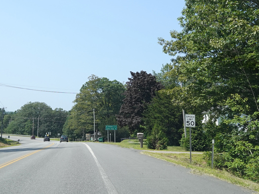
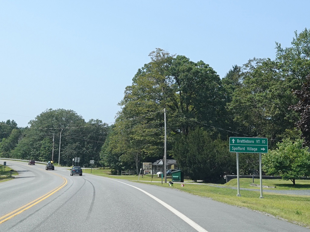
NH 9A ends back at NH 9 here on the right.
Photos taken August 2025.
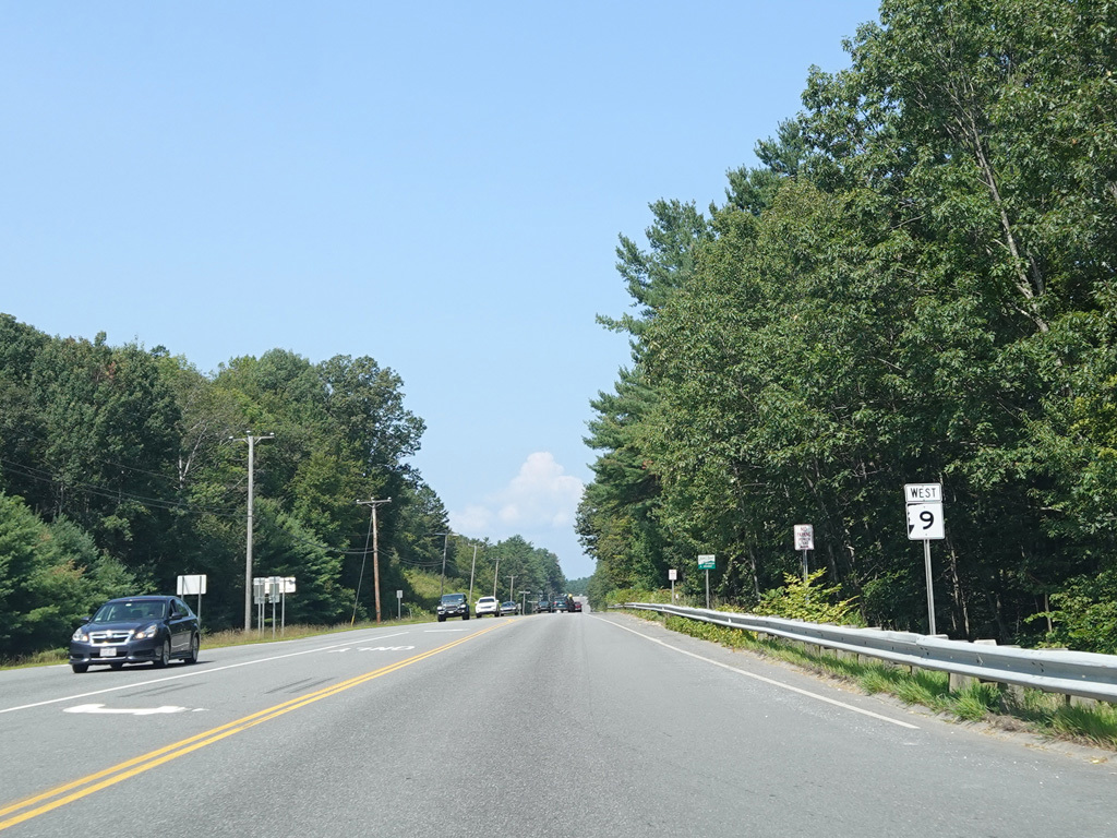
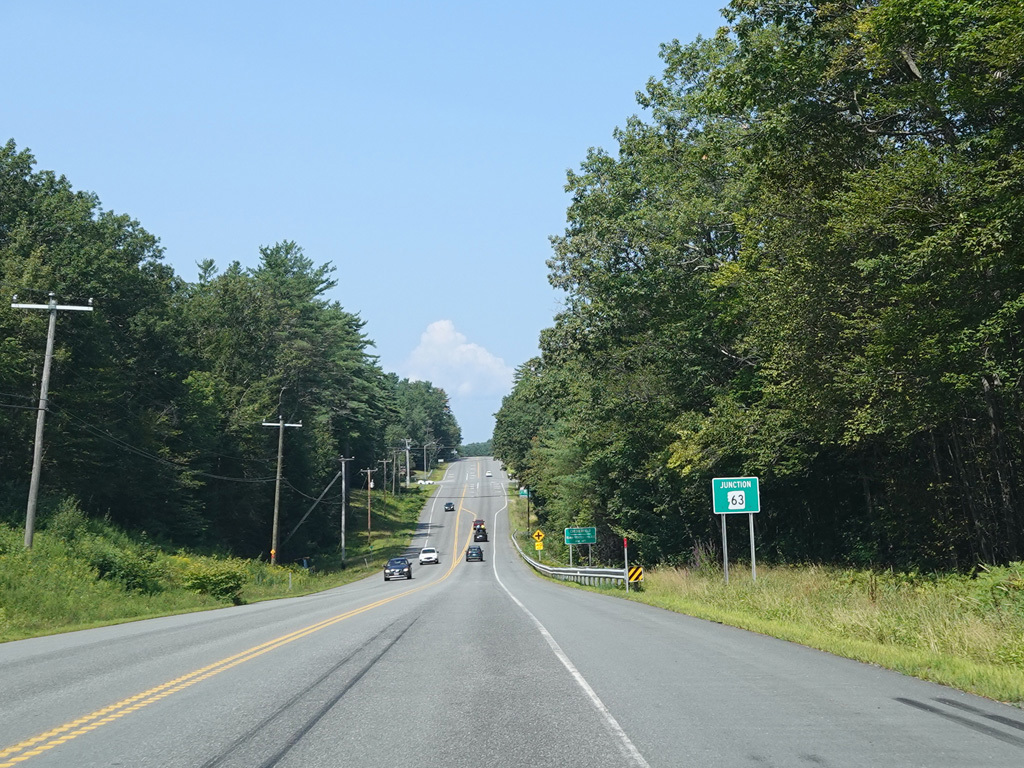

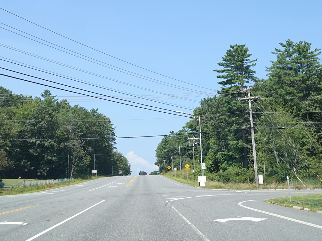
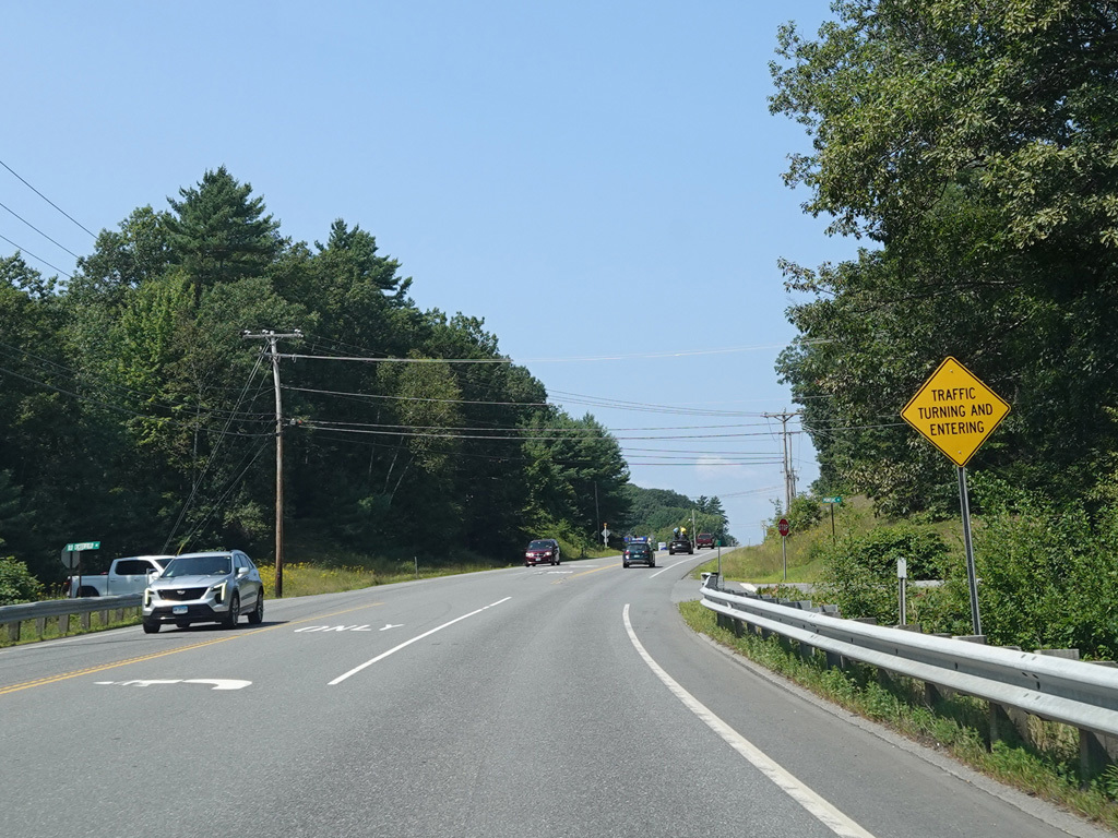
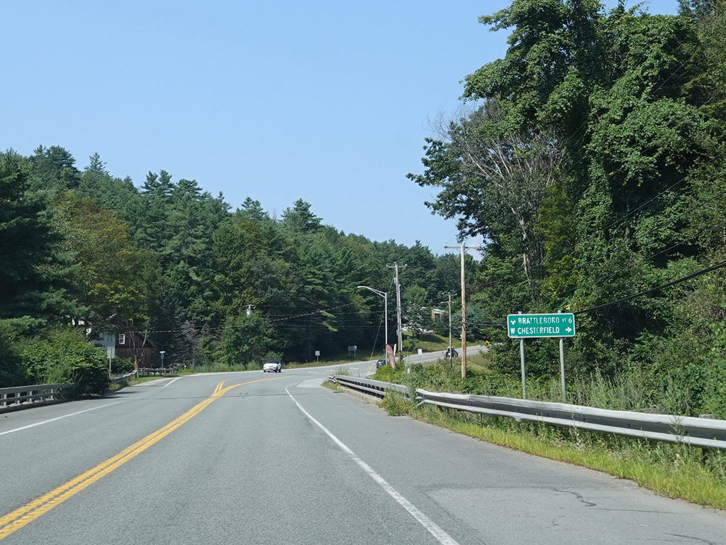
There is an uncontrolled intersection at NH 63. Turn right to go north or left to go south.
Photos taken August 2025.
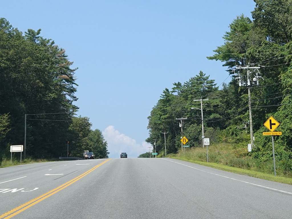


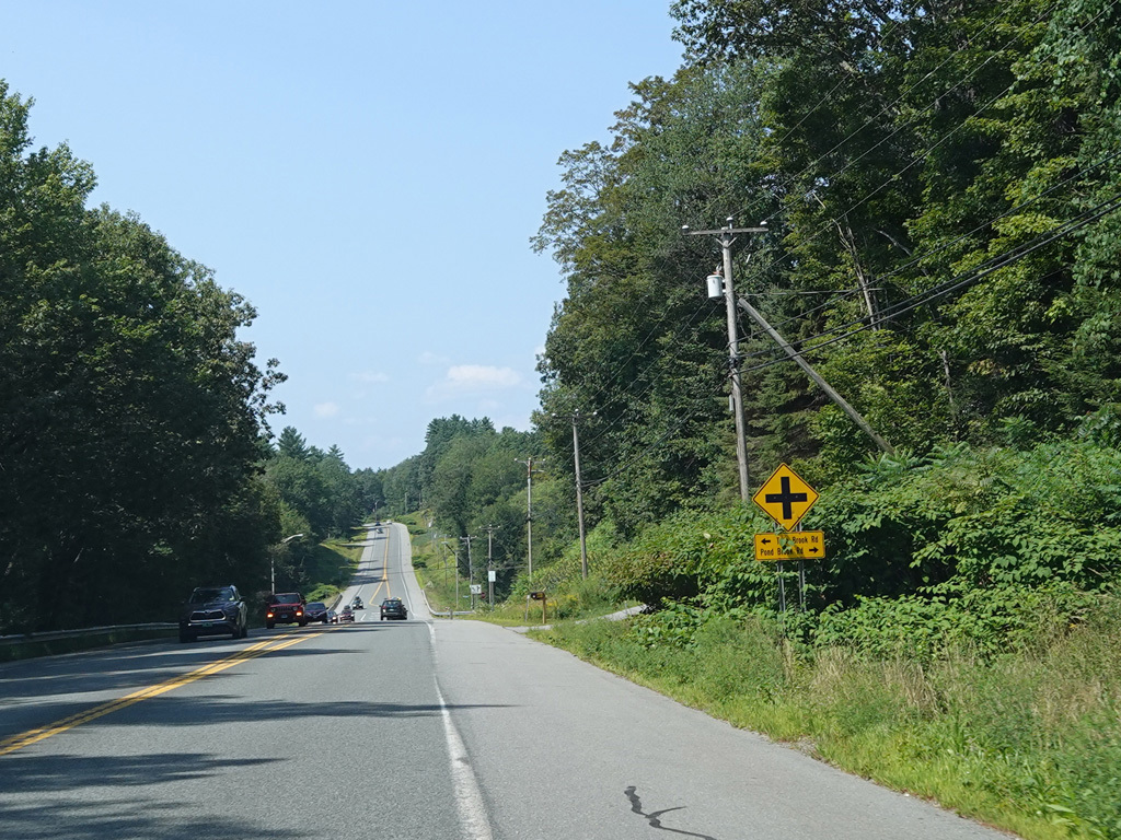


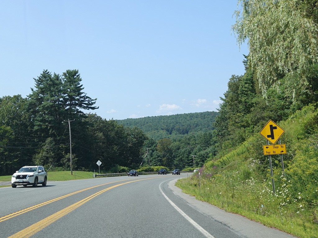

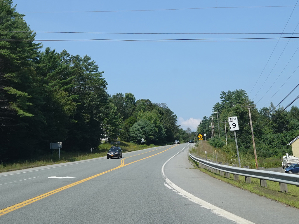
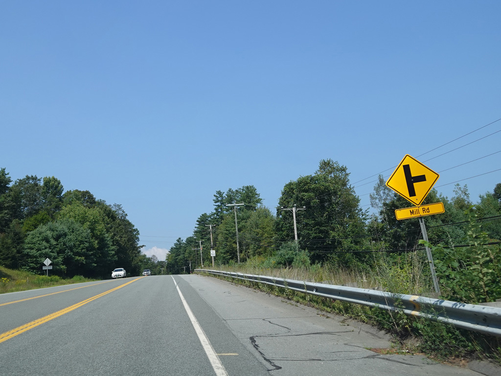
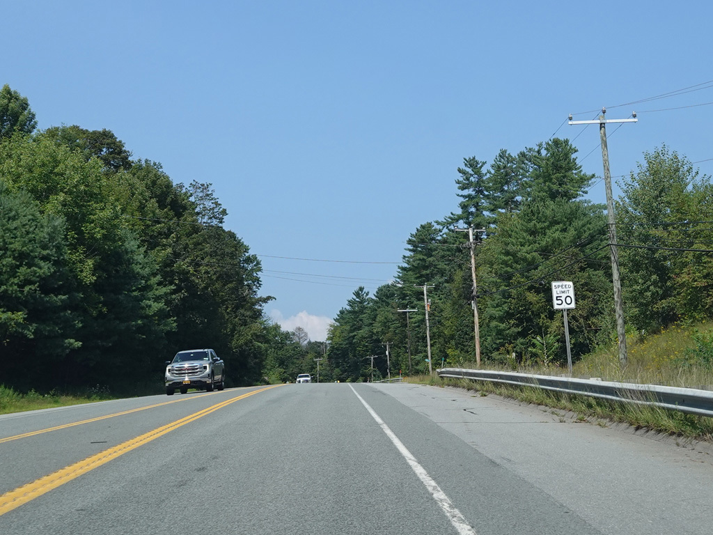


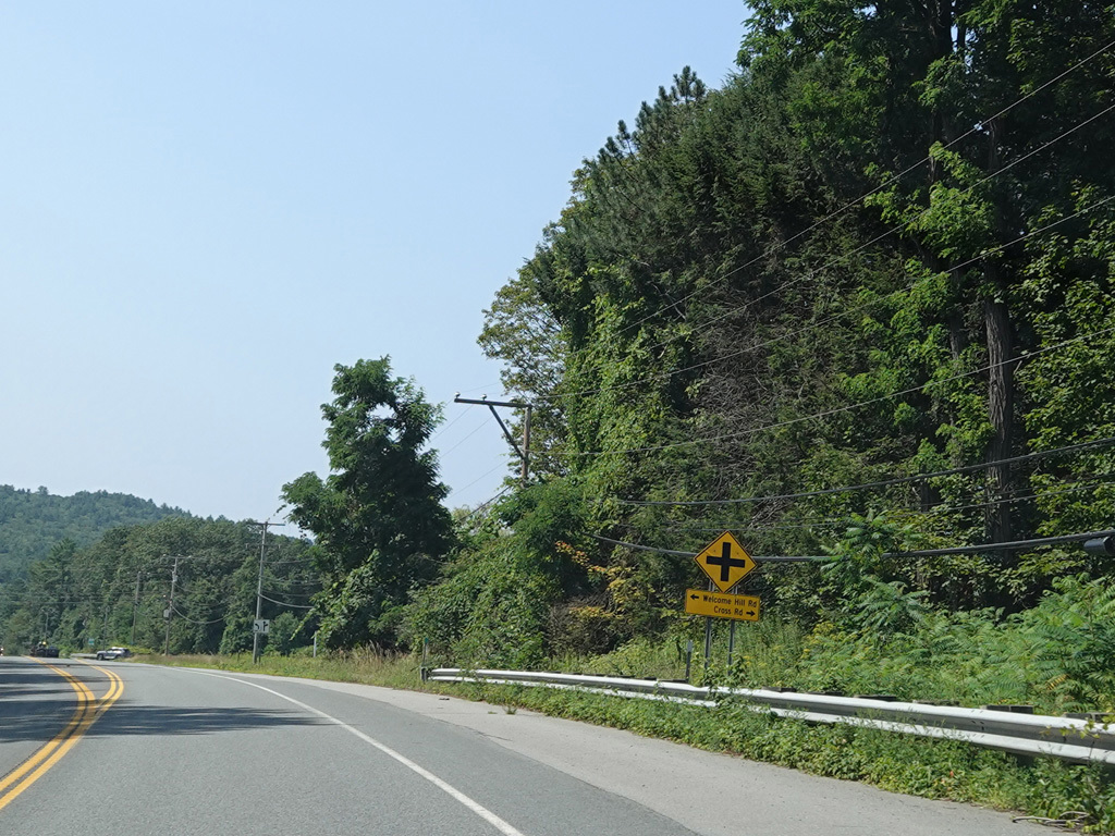
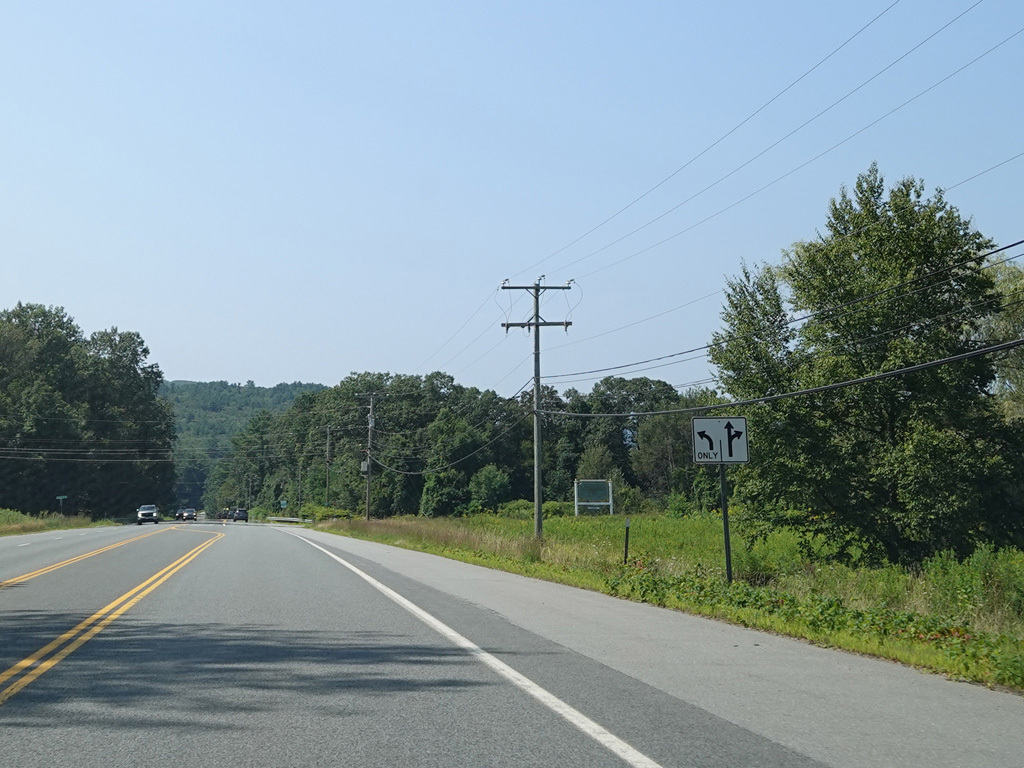
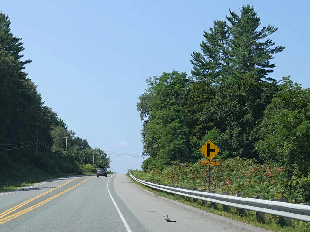

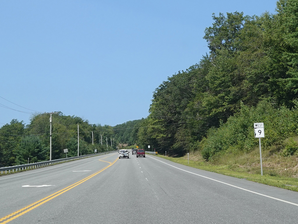
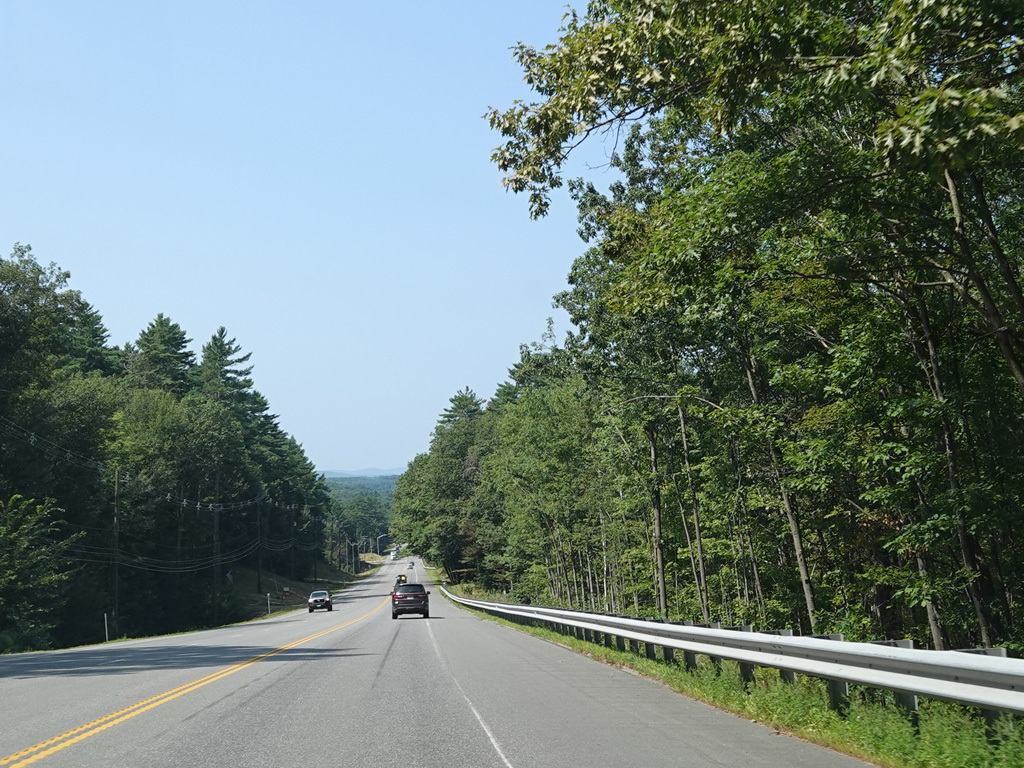
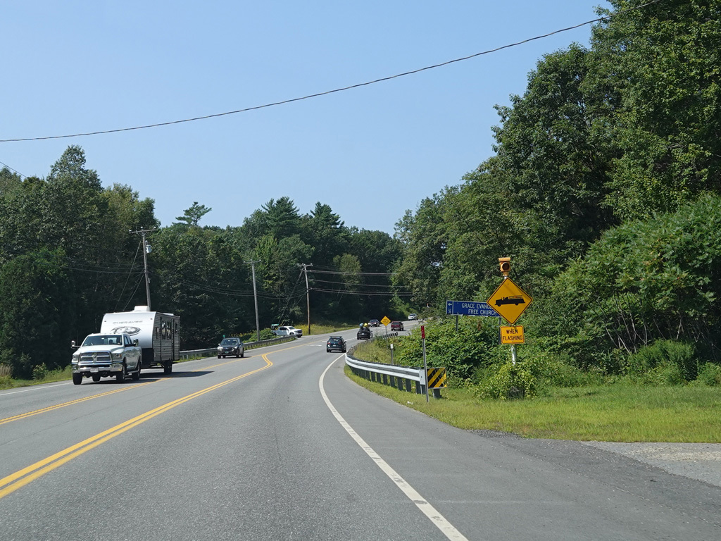
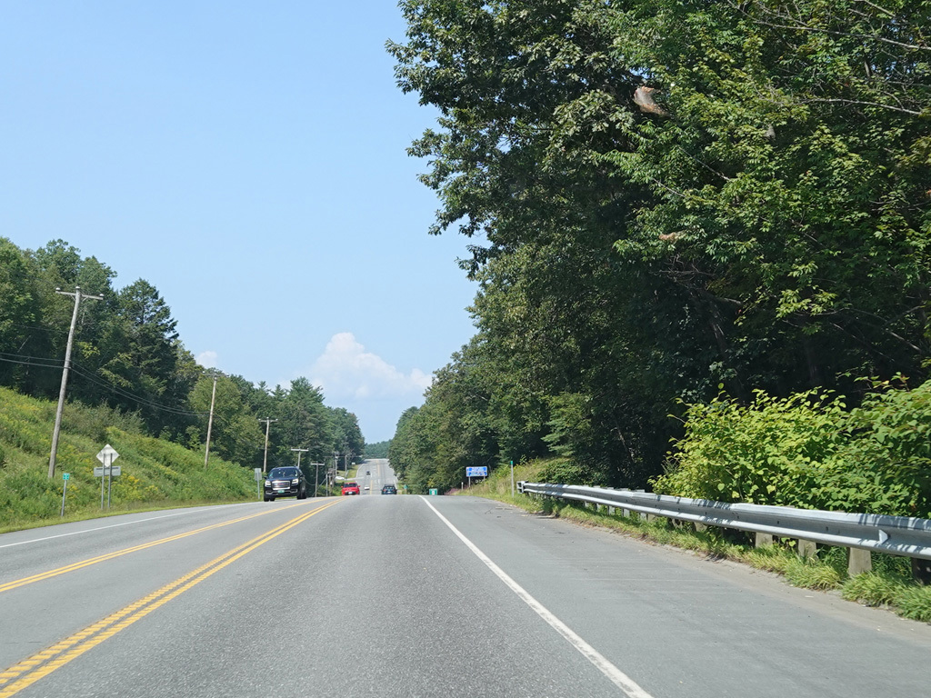
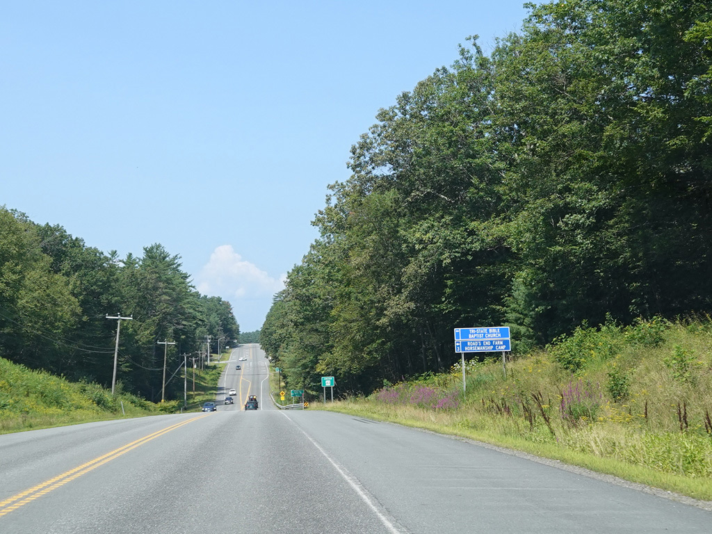
Franklin Pierce Highway continues west toward the Connecticut River. There are uncontrolled intersections at Pinnacle Springs Road, Friedsam Drive, Twin Brook Road, Pond Brook Road, Stow Drive, Poocham Road, Stage Road, Poor Road, Sargent Hill Road, Brook Street, Mill Road, Welcome Hill Road, Cross Road, Mr. Arthur Drive, and Spaulding Hill Road.
Photos taken August 2025.

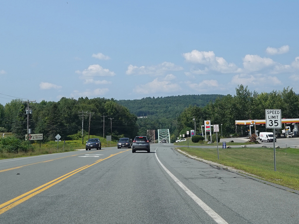


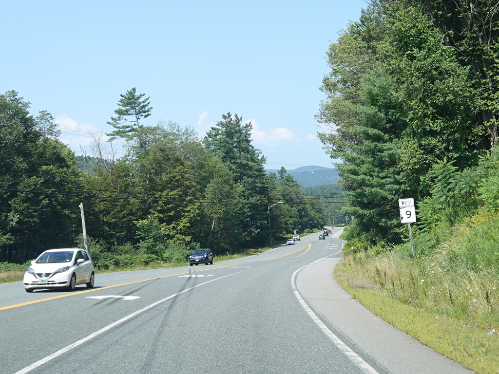
Approaching the Connecticut River, the speed limit drops to 35 MPH. Gulf Road begins on the left.
Photos taken August 2025.

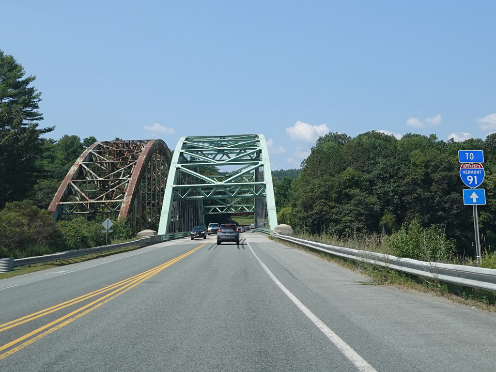


There is a bridge across the Connecticut River to Vermont. Just south of the bridge currently carrying NH 9 is an old bridge that is now only open to pedestrians and bicycles. Chesterfield Road (VT 9) is straight ahead on the other side of the bridge.
Photos taken August 2025.