Hadley Street, Hockanum Road, Lawrence Plain Road, Bay Road, Middle Street, River Drive, Hadley Road, River Road, South Main Street, North Main Street, Montague Road, Sunderland Road, North Leverett Road
- Direction:
- North/South
- Southern Terminus:
- College Street (MA 116) and Woodbridge Street (MA 116) in South Hadley
- Northern Terminus:
- MA 63 in Montague
- Distance:
- 21.87 miles
- Counties:
- Hampshire, Franklin
- Signed:
- Yes
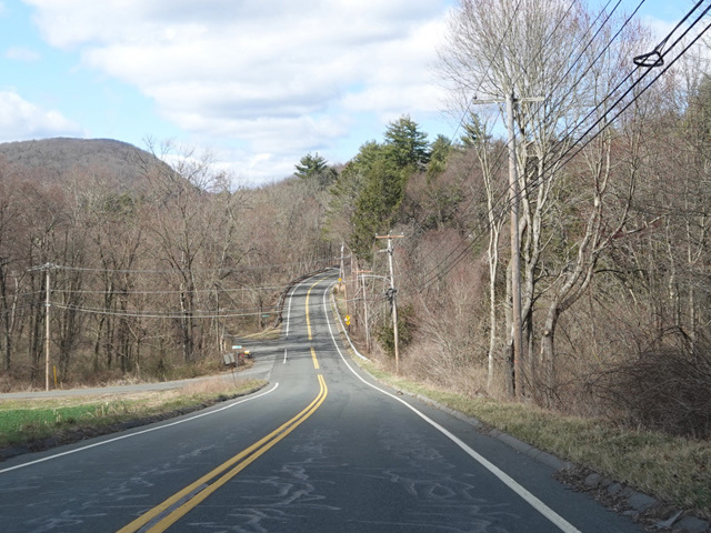
MA 47 is a north/south route along the east side of the Connecticut River. It begins at MA 116 in South Hadley and runs north through Hadley and Sunderland to end at MA 63 in Montague. Along the way, it passes by Mount Holyoke and provides access to Skinner State Park.
| Photo Gallery |
|---|