- Direction:
- North/South
- Southern Terminus:
- Wilton Road (CT 33) in Westport
- Northern Terminus:
- Norwalk-Danbury Road (US 7) in Wilton
- Distance:
- 9.51 miles
- Counties:
- Fairfield
- Signed:
- Yes
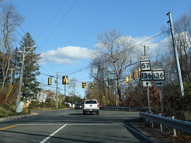
CT 57 is a north/south route through the forest between Westport and Wilton. It begins at Wilton Road (CT 33), just north of the downtown area of Westport. The first section, Kings Highway North, crosses a small bridge over the Saugatuck River. On the other side, CT 57 curves north onto Canal Street and then turns north onto Main Street. After a short distance, CT 136 is multiplexed with CT 57 along Main Street for two blocks, then CT 57 splits off to the north onto Weston Road. There is an interchange with the Merritt Parkway (CT 15), and then Weston Road heads north to Weston, where it is multiplexed with CT 53 for about half a mile. The two routes then split, with CT 57 turning northwest onto Georgetown Road. In Wilton, Georgetown Road ends at Redding Road (CT 107). CT 57 follows CT 107 for a few blocks along Redding Road and School Street to Norwalk-Danbury Road (US 7), where both routes end.
| Photo Gallery |
|---|
| Map |