New Hope Road, West Main Street, East Main Street, Mercer Street, Straley Avenue, Thorn Street, Oakvale Road, Athens Road, South State Street, North State Street, Hinton Road, Hinton Bypass, Temple Street, Summers Street, 2nd Avenue, Sewell Creek Road, South Sewell Street, Kanawha Avenue, Main Street, Midland Trail West, Riverside Drive, Nettie-Fenwick Road, Craigsville Road, West Webster Road, Mayer Avenue, Elk Street, Railroad Avenue West, Webster Road, North Main Street, Miller Mountain Road, Mountain Parkway, Kanawha Street, Locust Street, Buckhannon-Clarksburg Road, Buckhannon Pike, Elk Creek Road, Buckhannon Avenue, Marshall Street, Joyce Street, East Pike Street, West Pike Street, Shinnston Pike, Wallace Pike, Shortline Highway
- Direction:
- North/South
- Southern Terminus:
- US 52 in Bluewell
- Northern Terminus:
- Mountaineer Highway (WV 7) in New Martinsville
- Distance:
- 264.81 miles
- Counties:
- Mercer, Summers, Greenbrier, Nicholas, Webster, Upshur, Barbour, Harrison, Wetzel
- Signed:
- Yes
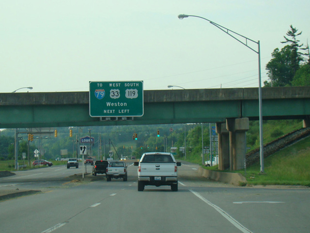
WV 20 is a north/south route running near the center of West Virginia. It begins in Bluewell near the border with Virginia and runs north through rural surroundings to Buckhannon and eventually reaches Clarksburg. There, it is multiplexed with US 19 to the north for a few miles before splitting off to the northwest to end in New Martinsville near the border with Ohio. It is one of the longest routes in the state.
| Photo Gallery |
|---|
| Map |