- Direction:
- East/West
- Western Terminus:
- Appalachian Highway (WV 32) in Davis
- Eastern Terminus:
- US 220 in Keyser
- Distance:
- 38.55 miles
- Counties:
- Tucker, Grant, Mineral
- Signed:
- Yes
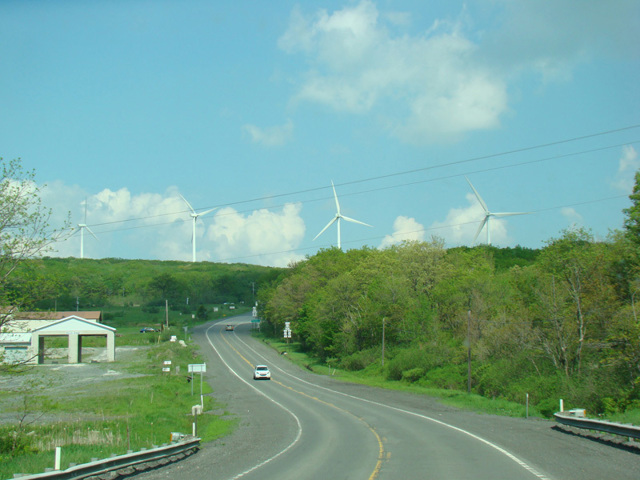
WV 93 is an east/west route from Davis to Keyser. It begins at Appalachian Highway (WV 32) in Davis and runs east as a two-lane undivided road called Synergy Highway to the current western terminus of the eastern section of Corridor H (US 48). It is then multiplexed with US 48 along Corridor H for a short distance. It splits off to become Power Station Highway in the vicinity of the Mount Storm Power Plant. After a short distance, Power Station Highway ends at Union Highway (WV 42). WV 93 is multiplexed with WV 42 along Union Highway southeast to Scherr and then splits off to the north to become Laurel Dale Road. In Claysville, Laurel Dale Road ends at US 50. The two routes are multiplexed for a couple of miles to the east, and then WV 93 splits off onto New Creek Highway. After another couple of miles, it ends at US 220. The entire length is a two-lane undivided road, except for the section where it is multiplexed with US 48 along Corridor H.
| Photo Gallery |
|---|
| Map |