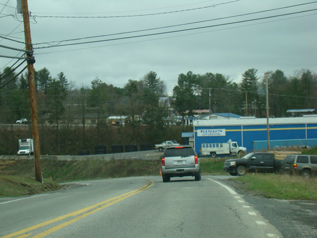
- Direction:
- North/South
- Southern Terminus:
- South Kanawha Street (WV 210) in Beckley
- Northern Terminus:
- Scenic Highway (WV 55) and West Webster Road (WV 55) in Summersville
- Distance:
- 65.04 miles
- Counties:
- Raleigh, Fayette, Nicholas
- Signed:
- Yes
WV 41 is a north/south route extending from Beckley to Summersville. The first section, Johnstown Road, extends from South Kanawha Street (WV 210) to Eisenhower Drive (US 19). WV 41 is then multiplexed with US 19 along Eisenhower Drive for a few blocks. It then splits off as Stanaford Road, which runs northeast to Rainelle, where it ends at Midland Trail (US 60). WV 41 is multiplexed with US 60 along Midland Trail for a little over a mile to the northwest and then splits off. It runs northwest to Mount Nebo, where it joins US 19 along Corridor L. The two routes are multiplexed across a bridge over Summersville Lake to Summersville. There, WV 41 splits off and follows Broad Street, Main Street, and West Webster Road through town. West Webster Road crosses Corridor L (US 19) again and continues east for a couple of miles before merging with Scenic Highway (WV 55). WV 41 ends at this point and West Webster Road continues west as WV 55.
| Photo Gallery |
|---|
| Map |