Main Street, Tennessee Avenue, Coal Heritage Road, Riverside Drive, McDowell Street, Wyoming Street, Stewart Street, Pinnacle Avenue, Guyandotte Avenue, First Street, Moran Avenue, Howard Avenue, Second Street, Black Eagle Road, Tams Highway, Robert C. Byrd Drive, Eisenhower Drive, Lundale Drive, Old Fayetteville Road, Court Street, Beckwith Road, Midland Trail, Gauley River Road, Dixie Highway, Big Otter Highway, Mill Stone Road, South Calhoun Highway, North Calhoun Highway, High Street, Spring Street, East Main Street, Pike Road
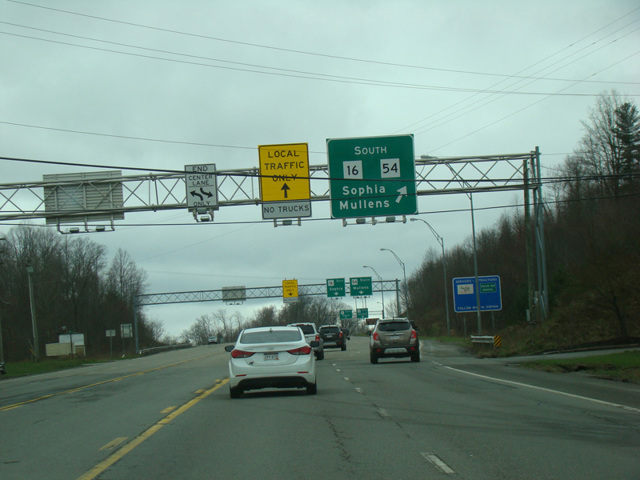
- Direction:
- North/South
- Southern Terminus:
- VA 16 at the Virginia-West Virginia state line
- Northern Terminus:
- Third Street (WV 2) in St. Marys
- Distance:
- 245.81 miles
- Counties:
- McDowell, Wyoming, Raleigh, Fayette, Clay, Calhoun, Ritchie, Pleasants
- Signed:
- Yes
WV 16 is a north/south route running near the center of West Virginia. VA 16 turns into WV 16 at the state line. It runs north to St. Marys, where it ends at Third Street (WV 2), just south of the border with Ohio.
| Photo Gallery |
|---|
| Map |