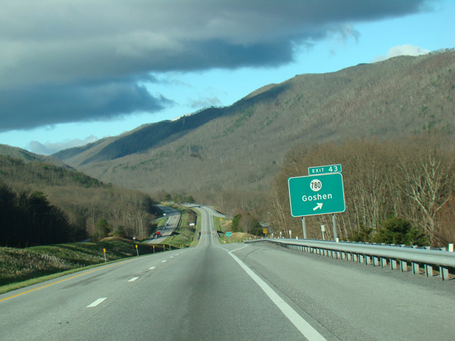
- Direction:
- East/West
- Western Terminus:
- West Virginia-Virginia state line
- Eastern Terminus:
- Hampton Roads Beltway (I-664) and I-264 in Chesapeake
- Distance:
- 300.42 miles
- Counties:
- Alleghany, Rockbridge, Augusta, Nelson, Albemarle, Fluvanna, Louisa, Goochland, Henrico, New Kent, James City, York
- Independent Cities:
- Covington, Waynesboro, Charlottesville, Richmond, Newport News, Hampton, Norfolk, Virginia Beach, Chesapeake
- Signed:
- Yes
I-64 is an east/west highway extending from the suburbs of St. Louis, Missouri, to Chesapeake, Virginia. It enters Virginia from West Virginia near White Sulphur Springs in the Appalachian Mountains. It runs east through the mountains to Lexington, where it joins I-81. The two routes are multiplexed northeast to Staunton, where they split. I-64 continues east, passing Charlottesville and eventually reaching Richmond. East of Richmond, it curves to the southeast toward Newport News and Hampton. The Hampton Roads Bridge-Tunnel, a series of bridges, tunnels, and artificial islands, carries I-64 across Hampton Roads to Norfolk. On the other side, it is known as the Hampton Roads Beltway. It runs south and then curves back to the west. I-64 ends in Chesapeake at a split for I-664 and I-264. The Hampton Roads Beltway continues back north as I-664.
| Photo Gallery |
|---|
| Map |