
- Direction:
- East/West
- Western Terminus:
- Orange Road (Business US 15) and Germanna Highway (US 522/Business US 15) in Culpeper
- Eastern Terminus:
- Main Street (Business US 17) in Gloucester
- Distance:
- 150.55 miles
- Counties:
- Culpeper, Orange, Spotsylvania, Stafford, King George, Westmoreland, Richmond, Lancaster, Middlesex, Mathews, Gloucester
- Independent Cities:
- Fredericksburg
- Signed:
- Yes
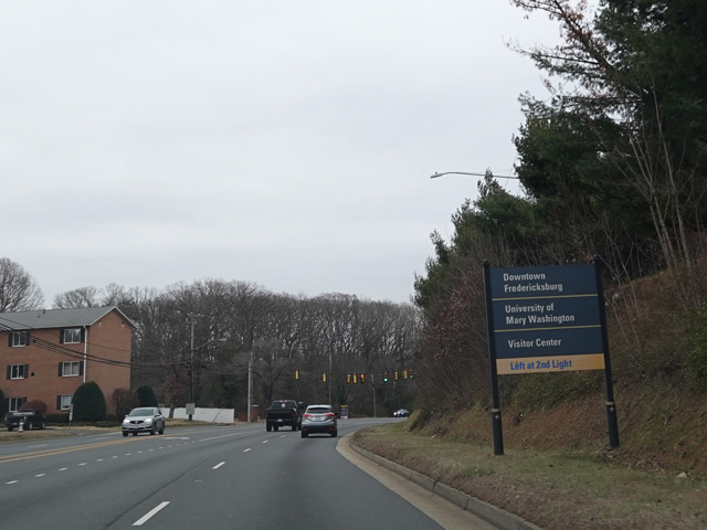
VA 3 is an east/west route extending out toward the end of the Northern Neck. It begins at the point where Business US 15 turns from Germanna Highway onto Orange Road in Culpeper. Germanna Highway continues east as VA 3 toward Fredericksburg, changing names to become Plank Road. In Fredericksburg, there are interchanges with I-95 and Emancipation Highway (US 1). There is a limited-access bypass of Fredericksburg called Blue and Gary Parkway. At the end of the bypass, VA 3 turns onto Kings Highway.
Kings Highway runs east out the Northern Neck. In Warsaw, it changes names to become History Land Highway. After some distance, it changes names again to become Mary Ball Road. As it reaches the end of the Northern Neck, it curves to the south and crosses a bridge over the Rappahannock River to the Middle Peninsula. On the other side, it winds its way to the south toward Gloucester. There are sections where it multiplexed with General Puller Highway (VA 33), Buckley Hall Road (VA 198), and John Clayton Memorial Highway (VA 14). It ends at Main Street (Business US 17) in Gloucester.
| Photo Gallery |
|---|