Mountain Turnpike, West Main Street, East Main Street, Highland Turnpike, Shenandoah Mountain Road, Churchville Avenue, Augusta Street, Johnson Street, Greenville Avenue, Richmond Avenue, Jefferson Highway, Main Street, Broad Street, Three Notched Mountain Highway, Rockfish Gap Turnpike, Ivy Road, Long Street, Richmond Road, Three Notch Road, Broad Street Road, West Broad Street, East Broad Street

- Direction:
- East/West
- Western Terminus:
- West Virginia-Virginia state line
- Eastern Terminus:
- North 23rd Street in Richmond
- Distance:
- 167.23 miles
- Counties:
- Highland, Augusta, Nelson, Albemarle, Fluvanna, Louisa, Goochland, Henrico
- Independent Cities:
- Staunton, Waynesboro, Charlottesville, Richmond
- Signed:
- Yes
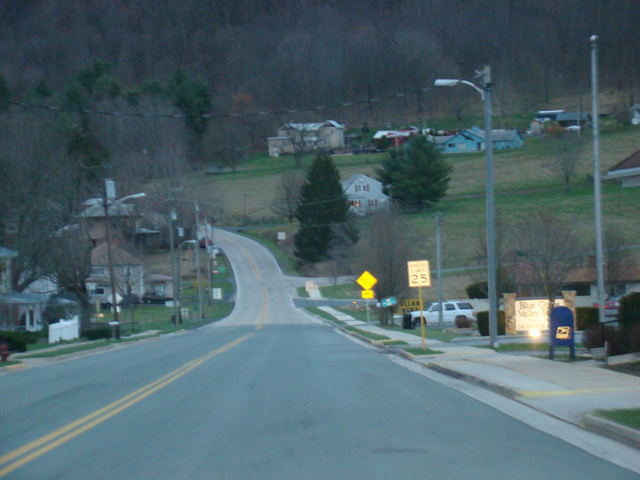
US 250 is a diagonal route extending from Sandusky, Ohio, to Richmond, Virginia. It enters Virginia from West Virginia west of Monterey. It runs east through Monterey and then winds its way through the mountains to eventually reach Staunton. It runs east through Staunton, Waynesboro, and Charlottesville to eventually reach Richmond. There, it ends at North 23rd Street, just east of North 21st Street (US 60). The section between Staunton and Richmond serves as a local alternative to I-64.
| Photo Gallery |
|---|
| Map |