- Direction:
- East/West
- Western Terminus:
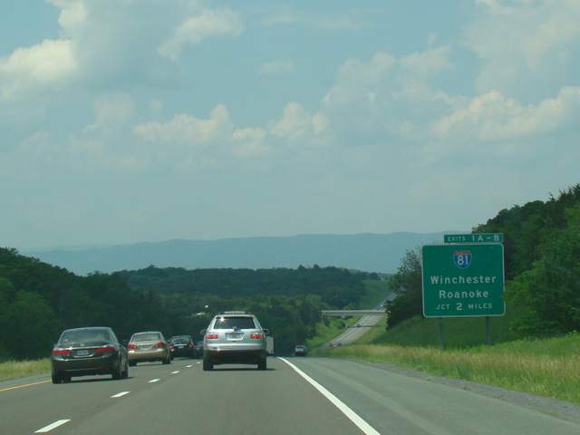
- I-81 in Middletown
- Eastern Terminus:
- Virginia-District of Columbia boundary
- Distance:
- 74.52 miles
- Counties:
- Warren, Fauquier, Prince William, Fairfax, Arlington
- Signed:
- Yes
I-66 is an east/west highway connecting Washington to its suburbs and exurbs. It begins at I-81 in Middletown, near Winchester and Front Royal, and runs east to the Theodore Roosevelt Bridge, which crosses the Potomac River to Washington. It ends a short distance after crossing the bridge.
The portion of I-66 between US 29 in Gainesville and the Capital Beltway (I-495) has express toll lanes in the middle. Motorists may elect to use these lanes in order to avoid traffic on the mainline at the cost of paying a toll. Vehicles with three or more occupants can receive an exemption from the toll by using special E-ZPass Flex tags that are available in Maryland and Virginia. East of the Beltway, the express toll lanes end, and I-66 narrows down to two lanes for the remainder of the distance to Washington. On this section, all lanes are tolled in the peak direction at peak hours on weekdays in order to reduce the number of vehicles on the road and keep traffic moving, although no toll is charged at other times. As with the express toll lanes, vehicles with three or more occupants can receive an exemption from the toll by using E-ZPass Flex.
While it is technically Route 66 because of its I-66 designation, it has no connection to the famed Route 66 of the American West, which is US 66 and doesn't come anywhere near Virginia.
| Photo Gallery |
|---|
| Map |