- Direction:
- North/South
- Southern Terminus:
- District of Columbia-Virginia boundary
- Northern Terminus:
- Virginia-Maryland state line
- Distance:
- 21.99 miles
- Counties:
- Fairfax
- Independent Cities:
- Alexandria
- Signed:
- Yes
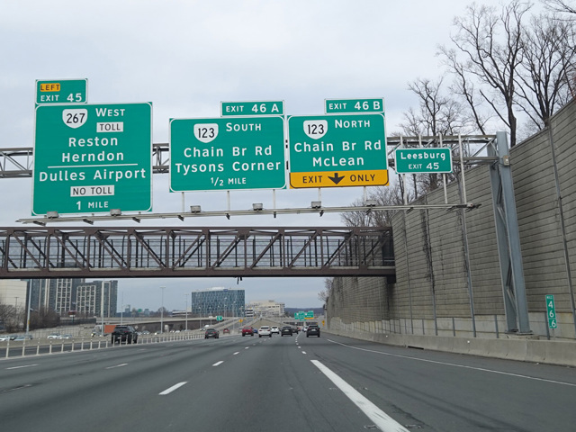
The Capital Beltway is a circular highway around Washington, DC. The expression "inside the Beltway" used to refer to what happens in Washington derives from this highway. It is found almost entirely in Maryland and Virginia, although it passes through a tiny corner of the District of Columbia as part of the Woodrow Wilson Bridge where it crosses the Potomac River on the east side of the city. I-95 is multiplexed with I-495 along the eastern half of the Beltway. In Virginia, it splits off at exit 57A to continue south toward Richmond and beyond.
The exit numbers on the western portion of the Beltway in Virginia are a continuation of the exit numbers in Maryland. They do not reset at the state line as happens on most highways that pass through multiple states. The western section of the Beltway that is I-495 alone is signed as a north/south route, while the eastern section that is multiplexed with I-95 is signed as an east/west route, avoiding a wrong-way multiplex. The eastern section is not listed in state and federal documents as part of I-495, although it is signed as I-95/I-495. The distance shown above includes the full length of I-495 in Virginia, including I-95/I-495.
The portion of the Beltway that is I-495 alone has express toll lanes in the middle. Motorists may elect to use these lanes in order to avoid traffic on the mainline at the cost of paying a toll. Vehicles with three or more occupants can receive an exemption from the toll by using special E-ZPass Flex tags that are available in Maryland and Virginia.
| Photo Gallery |
|---|
| Map |