- Direction:
- North/South
- Southern Terminus:
- Deer Park Road (NY 231), Northern Parkway, and East Deer Park Road (CR 66) in Dix Hills
- Northern Terminus:
- West Shore Road in Huntington
- Distance:
- 5.44 miles
- Signed:
- Yes
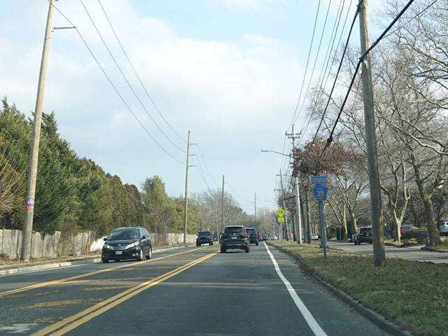
CR 35 is a north/south route in northwestern Suffolk. It begins at the northern terminus of NY 231 at the Northern Parkway in Dix Hills. Deer Park Road, which is designated NY 231 south of the parkway, runs to the northwest as CR 35. Deer Park Road continues a short distance to Jericho Turnpike (NY 25), where it changes names to become Park Avenue. Park Avenue diagonally to the northwest to Huntington, where CR 35 ends at Main Street (NY 25A). Park Avenue continues north as an unnumbered town road to New York Avenue (NY 110). CR 35 is a two- to four-lane undivided road with traffic lights.
CR 35 was originally proposed to follow the entirety of Park Avenue north to New York Avenue (NY 110) and then continue on the other side along Mill Dam Road and West Shore Road by the water to end at Browns Road. Of this, the only portion ever taken over by the county was Mill Dam Road, although the northern section of Park Avenue was the one and only road in the county that was signed as a county route but maintained by the town. West Shore Road was one of a number of routes known as "county system roads" that were legally designated as county routes but remained under the jurisdiction of the towns. In 2010, the Town of Huntington successfully sued Suffolk County and obtained a court order for the county to take over maintenance responsibility for all county system roads within the town. In 2022, the town and the county entered into a settlement in which they agreed to a series of maintenance swaps. As part of this, the portion of CR 35 north of Main Street (NY 25A) in Huntington was decommissioned and is now unnumbered town roads.
| Photo Gallery |
|---|
| Map |