Hillside Avenue, South Highland Avenue, North Highland Avenue, Conger Avenue, South Liberty Drive, North Liberty Drive, Quassaick Avenue, South Robinson Avenue, Robinson Avenue, Broadway, Frank Koenig Boulevard, Flatbush Road, East Chester Street, Ulster Avenue, Burt Street, Barclay Street, Church Street, Hill Street, Partition Street, Main Street, Malden Avenue, West Bridge Street, Maple Avenue, Southern Boulevard, Delaware Avenue, Lark Street
Northbound Views (Archived)
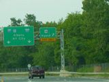
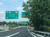
These signs used to mark the interchange with the New York Thruway (I-87/I-287) in Nyack. They were replaced when a parking lot for the pedestrian path over the Governor Mario M. Cuomo Bridge was built in the middle of the interchange.
Photos taken September 2011.
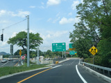
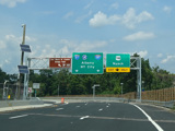
These pictures show the signage at is appeared when the parking lot first opened. The left-hand sign on the first sign bridge has been replaced, and a "No Buses" tab has been added to the sign for the parking lot.
Photos taken July 2020.
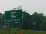
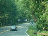
These signs used to mark the traffic circle at Bear Mountain. They have been removed.
Photo taken September 2011.
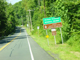
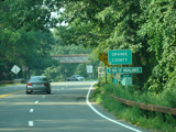
These signs with all-capital letters used to mark the border with Orange County. They have been replaced with mixed-case signs.
Photo taken September 2011.
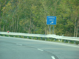
This square sign used to mark the parking area on Storm King Mountain. It has been replaced with a rectangular sign.
Photo taken September 2011.
This sign with all-capital letters used to mark the exit for Angola Road (CR 9). It has been replaced with a mixed-case sign.
Photo taken September 2011.
These signs with all-capital letters were found in Middle Hope and Roseton. They have been replaced with mixed-case signs.
Photos taken September 2010.
