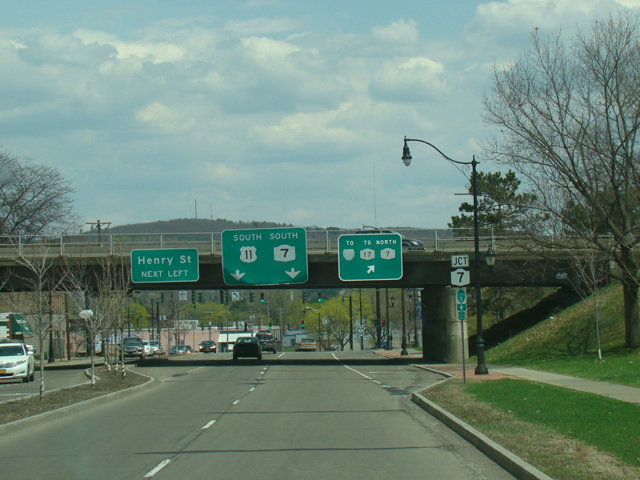
Kirkwood Avenue, Court Street, Front Street, Castle Creek Road, Main Street, Cortland Street, Port Watson Street, Church Street, Clinton Avenue, North Main Street, Homer Avenue, South Main Street, State Street, Elm Street, South Salina Street, East Raynor Avenue, South State Street, North State Street, North Salina Street, Wolf Street, Brewerton Road, Watertown Road, Salina Street, Jefferson Street, Washington Street, Paddock Street, Holcomb Street, Court Street Bridge, Leray Street, West Main Street, East Main Street, Gouverneur Street, Maple Street, Sandstone Drive, Market Street, Lawrence Avenue, Champlain Street, Lake Street

- Direction:
- North/South
- Southern Terminus:
- Pennsylvania-New York state line
- Northern Terminus:
- United States-Canada border
- Distance:
- 318.85 miles
- Counties:
- Broome, Cortland, Onondaga, Oswego, Jefferson, St. Lawrence, Franklin, Clinton
- Signed:
- Yes
US 11 is a major north/south route running diagonally from New Orleans, Louisiana, to the Canadian border in Rouses Point, New York. It enters New York from Pennsylvania just south of Binghamton. It runs north, next to I-81, through Binghamton, Syracuse, and Watertown. North of Watertown, US 11 begins to gradually curve to the east. It runs parallel to and about 10 miles south of the St. Lawrence River, which separates New York from Ontario. As the Canadian border leaves the river and turns east, US 11 continues parallel to it. Eventually, it reaches Lake Champlain at Rouses Point. There, it turns north again for its last mile before ending at the border with Canada.
| Photo Gallery |
|---|
| Map |