- Direction:
- East/West
- Western Terminus:
- Lewiston Road (NY 104) in Lewiston
- Eastern Terminus:
- Ridge Road (NY 104) in Rochester
- Distance:
- 87.50 miles
- Counties:
- Niagara, Orleans, Monroe
- Signed:
- Yes
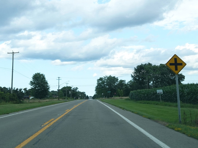
NY 18 is the northernmost east/west route in Western New York, running just south of Lake Ontario for much of its length. It begins at a grade-separated split from Lewiston Road (NY 104) in Lewiston. The first section is known as Creek Road runs north toward Lake Ontario. It is approaches the lake, it curves to the east and changes names to become Lake Road. It continues east through Niagara County. Upon crossing into Orleans County, it changes names to become Roosevelt Highway. It passes just south of the western terminus of the Lake Ontario Parkway in Lakeside State Park and then begins to gradually make its way to the southeast toward Rochester. After passing through an interchange with the NY 390 expressway, it turns onto Dewey Avenue, which runs south into Rochester. NY 18 ends at Ridge Road (NY 104).
| Photo Gallery |
|---|
| Map |