Mott Farm Road
- Direction:
- East/West
- Western Terminus:
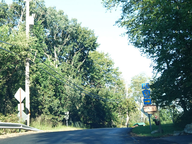
- Bulsontown Road (CR 65) and Queensboro Road (CR 69) in Stony Point
- Eastern Terminus:
- North Liberty Drive (US 9W/US 202) in Tomkins Cove
- Distance:
- 3.37 miles
- Signed:
- Yes
Mott Farm Road is the northernmost east/west route in Rockland County, extending from Stony Point to Tomkins Cove. It begins at the point where Bulsontown Road (CR 63) curves around to become Queensboro Road (CR 69). At first it runs north, and then it curves to the east. It ends at North Liberty Drive (US 9W/US 202).
| Photo Gallery |
|---|
| Map |