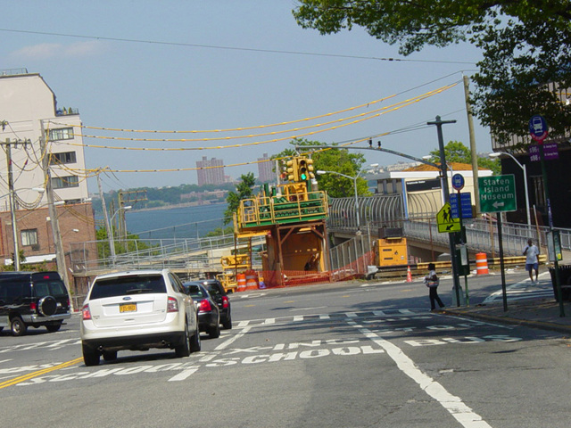
Victory Boulevard

- Direction:
- East/West
- Western Terminus:
- Dead end near the Arthur Kill on Staten Island
- Eastern Terminus:
- Bay Street on Staten Island
- Distance:
- 8.05 miles
- Counties:
- Richmond
Victory Boulevard is a major east/west route on Staten Island. It extends from a dead end near the Arthur Kill to Bay Street, about half a mile south of the terminal of the Staten Island Ferry. Most of Victory Boulevard is a two-lane undivided road. The easternmost portion near Bay Street has four lanes, although two of them are bus lanes. Many years ago, prior to the construction of the Staten Island Expressway (I-278) and the West Shore Expressway (NY 440), Victory Boulevard was designated NY 439 and NY 439A. According to an article in the Staten Island Advance, Victory Boulevard was originally known as Richmond Turnpike but was renamed in 1918 in celebration of victory in World War I.
| Photo Gallery |
|---|
| Map |