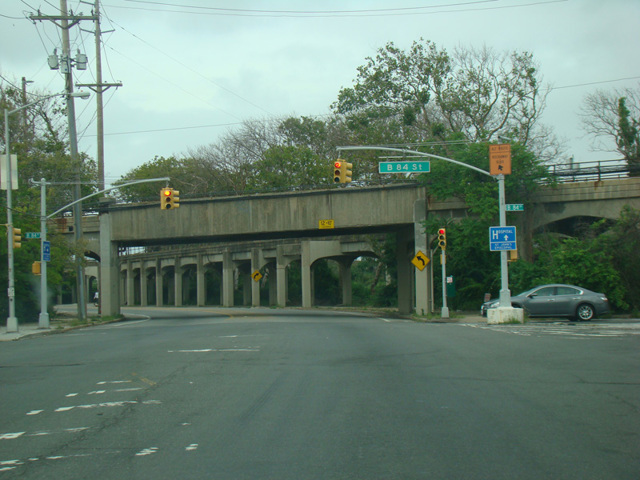
Beach Channel Drive

- Direction:
- East/West
- Western Terminus:
- Marine Parkway Bridge and Rockaway Point Boulevard in Queens
- Eastern Terminus:
- Sheridan Boulevard at the Queens-Nassau county line
- Distance:
- 8.07 miles
- Counties:
- Queens
Beach Channel Drive is the main east/west route in the Rockaways. It begins at the Marine Parkway Bridge and runs east along Jamaica Bay, passing under the Cross Bay Bridge. In Far Rockaway, it curves to the northeast and then ends at the Queens-Nassau county line, where it becomes Sheridan Boulevard. Beach Channel Drive is a two- to four-lane road with some portions divided and others not.
| Photo Gallery |
|---|
| Map |