- Direction:
- North/South
- Southern Terminus:
- Shore Road (CR 585) and MacArthur Boulevard (NJ 52) in Somers Point
- Northern Terminus:
- Egg Harbor Road (CR 561) in Hammonton
- Distance:
- 30.84 miles
- Counties:
- Atlantic
- Signed:
- Yes
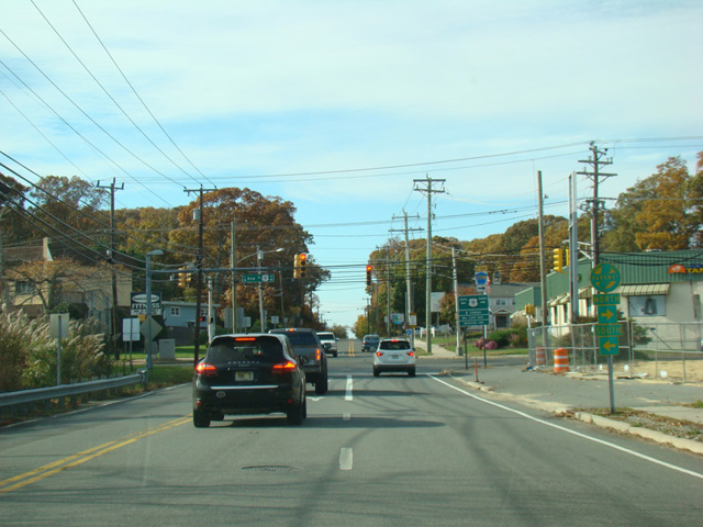
CR 559 is a north/south route running diagonally from Somers Point through Mays Landing to Hammonton. Shore Road (CR 585) turns into CR 559 at its intersection with MacArthur Boulevard (NJ 52) in Somers Point. It is at first called Mays Landing Road but almost immediately changes names to become Somers Point-Mays Landing Road. As its name suggests, it ends northwest to Mays Landing, where it ends at Main Street (US 40). The two routes are multiplexed for a few blocks, and then US 40 turns south onto Harding Highway. CR 559 continues west along Main Street before curving to the south to become Mill Street and then turning west onto Old Harding Highway. After a few blocks, CR 559 turns northwest onto Weymouth Road. It follows Weymouth Road to Hammonton, where it changes names to become South Chew Road and then North Chew Road before ending at Egg Harbor Road (CR 561). The entire length is a two-lane undivided road.
CR 559 has an alternate route that splits off in Hamilton Township and follows Ocean Heights Avenue to Shore Road (CR 585) in Linwood.
| Photo Gallery |
|---|
| Map |