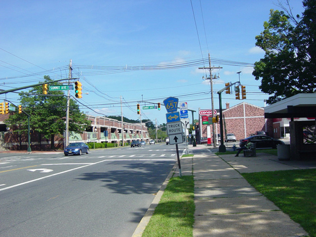
- Direction:
- East/West
- Western Terminus:
- High Bridge Road (CR 513) in Califon
- Eastern Terminus:
- Morris Avenue (NJ 124) in Summit
- Distance:
- 32.96 miles
- Counties:
- Hunterdon, Somerset, Morris, Union
- Signed:
- Yes
CR 512 is an east/west route from Califon to Summit. It begins at High Bridge Road (CR 513) and follows Main Street and Academy Street through Califon. Heading out of town, it becomes Fairmount Road West. Upon crossing Old Turnpike Road (CR 517), it becomes Fairmount Road East. After crossing the Lamington River, it becomes Pottersville Road, which runs east to Gladstone, where it ends at Main Street. CR 512 turns south onto Main Street, which becomes Peapack Road upon leaving town.
Peapack Road ends at US 202 in Far Hills. CR 512 is multiplexed with US 202 for three blocks and then splits off onto Liberty Corner Road. In Basking Ridge, Liberty Corner Road becomes Church Street, which ends about half a mile at Valley Road. CR 512 turns south onto Valley Road, which curves to the east. Upon crossing the Passaic River, Valley Road becomes Springfield Avenue, which runs northeast to Summit. There, CR 512 turns onto Morris Avenue for one block and then onto Broad Street. It follows Broad Street east through Summit to Morris Avenue (NJ 124), where it ends.
| Photo Gallery |
|---|
| Map |