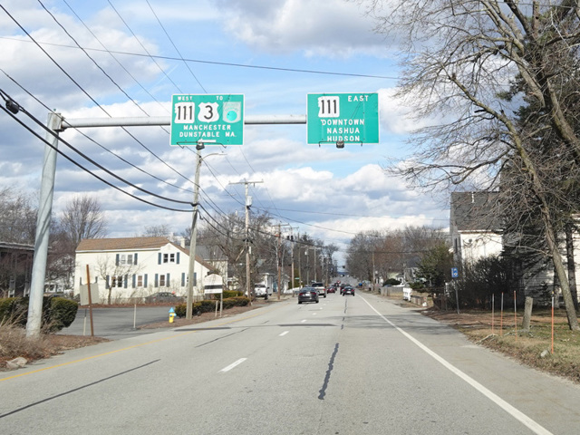
Runnells Bridge Road, West Hollis Street, East Hollis Street, Kinsley Street, Medical Center Drive, Ferry Street, Burnham Road, Central Street, Haverhill Road, Indian Rock Road, Range Road, Salem Road, Page Road, Danville Road, Exeter Road, Kingston Road, Front Street, Water Street, High Street, Hampton Road, North Hampton Road, Atlantic Avenue

- Direction:
- East/West
- Western Terminus:
- Nashua Road (MA 111) at the Massachusetts-New Hampshire state line
- Eastern Terminus:
- Ocean Boulevard (NH 1A) in North Hampton
- Distance:
- 50.06 miles
- Counties:
- Hillsborough, Rockingham
- Signed:
- Yes
NH 111 is a diagonal route through the southeast corner of New Hampshire, running a few miles north of the state line. Nashua Road (MA 111) becomes NH 111 upon entering New Hampshire from Massachusetts. It runs north to Nashua, where there is an interchange with the Everett Turnpike (US 3). It continues north and northeast to North Hampton. Along the way, it crosses I-93 and the Blue Star Turnpike (I-95). There is an interchange with the former but not the latter. It ends at Ocean Boulevard (NH 1A) right by the ocean.
| Photo Gallery |
|---|
| Map |