- Direction:
- North/South
- Southern Terminus:
- New Hampshire-Maine state line
- Northern Terminus:
- United States-Canada border
- Distance:
- 303.10 miles
- Counties:
- York, Cumberland, Androscoggin, Kennebec, Somerset, Penobscot, Aroostook
- Signed:
- Yes
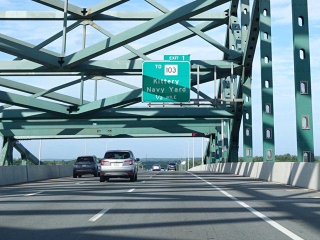
I-95 is a main interstate highway that runs along the East Coast from Florida to Maine. It enters Maine from New Hampshire on a bridge over the Piscataqua River. The first section of I-95 in Maine is a toll highway called the Maine Turnpike. It runs northeast through Portland to Augusta, the state capital. There is no ticket system. Tolls are collected at tollbooths at several points along the highway itself and on certain ramps.
In Augusta, the Maine Turnpike ends, and I-95 continues as a free highway for the remainder of its length. After Bangor, the speed limit goes up to 75 MPH. This is the highest speed limit anywhere on the East Coast. I-95 curves to the north after Bangor and then to the east toward Houlton, where it ends at the Canadian border. The highway continues a short distance beyond the border into New Brunswick as NB 95 to end at the Trans-Canada Highway (NB 2).
| Photo Gallery |
|---|
| Map |