- Direction:
- North/South
- Southern Terminus:
- Fort Smallwood Park
- Northern Terminus:
- Potee Street (MD 2) in Baltimore
- Distance:
- 13.78 miles
- Counties:
- Anne Arundel
- Independent Cities:
- Baltimore
- Signed:
- Yes
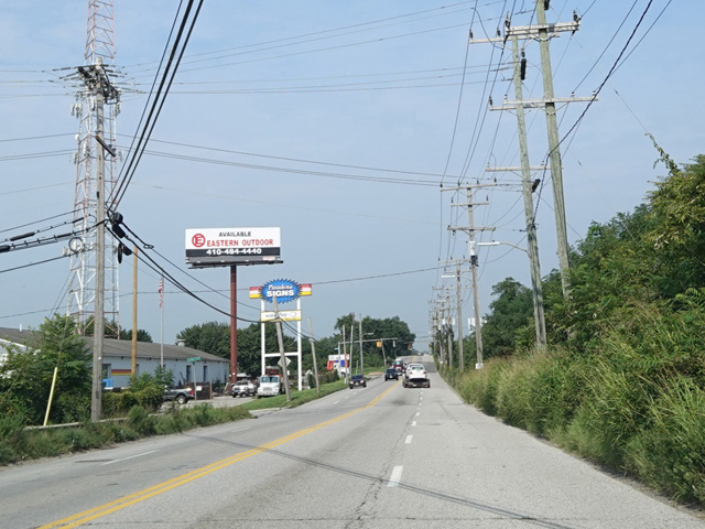
MD 173 is a north/south route connecting Baltimore to the suburbs southeast of the city. It begins at Fort Smallwood Park, which is located on a small peninsula at the mouth of the Patapsco River. The portion outside the city is called Fort Smallwood Road. It runs southwest off the peninsula and then back north and northeast toward Baltimore. Shortly after entering the city, it curves to the west to become Hawkins Point Road. There is an interchange with the Baltimore Beltway (I-695) at its last exit before the Francis Scott Key Bridge.
Hawkins Point Road curves to the north to become Pennington Avenue. After a short distance, MD 173 splits into a pair of one-way streets. Northbound traffic follows Birch Street for one block to Curtis Avenue, while southbound traffic follows Pennington Avenue. The two directions come back together after a short distance to form Patapsco Avenue, which runs northwest. MD 173 ends at Potee Street (MD 2), just south of the Baltimore Harbor Tunnel Thruway (I-895). Patapsco Avenue to the west as a local street.
| Photo Gallery |
|---|
| Map |