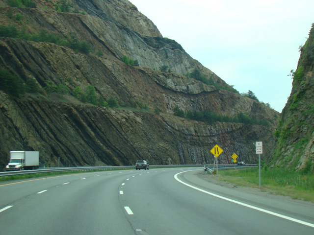
National Freeway

- Direction:
- East/West
- Western Terminus:
- West Virginia-Maryland state line
- Eastern Terminus:
- I-70 and US 522 in Hancock
- Distance:
- 80.68 miles
- Counties:
- Garrett, Allegany, Washington
- Signed:
- Yes
I-68 is an east/west interstate highway through the Appalachian Mountains from I-79 in Morgantown, West Virginia, to I-70 in Hancock, Maryland. The section in Maryland is known as the National Freeway because it is the freeway alternative to the National Road, the first federally funded road to the West, which roughly corresponds to present-day US 40. I-68 is designated Corridor E of the Appalachian Development Highway System, a network of highways intended to provide better access to and from Appalachia, thereby promoting economic development in the region.
| Photo Gallery |
|---|
| Map |