- Direction:
- East/West
- Eastern Terminus:
- District of Columbia-Maryland boundary
- Western Terminus:
- Maryland-Virginia state line
- Distance:
- 42.24 miles
- Counties:
- Prince George's, Montgomery
- Signed:
- Yes
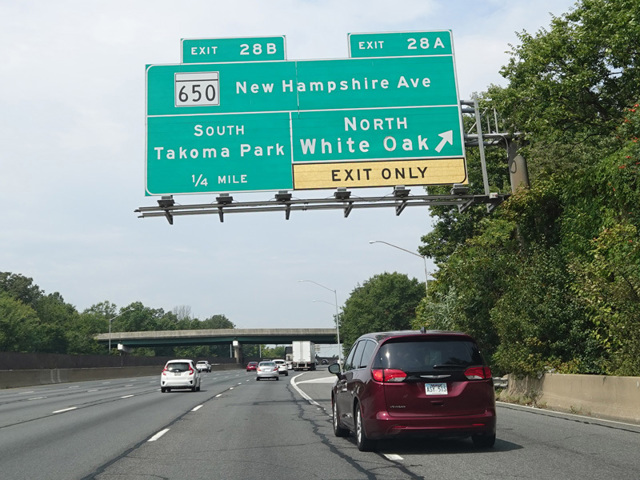
The Capital Beltway is a circular highway around Washington, DC. The expression "inside the Beltway" used to refer to what happens in Washington derives from this highway. It is found almost entirely in Maryland and Virginia, although it passes through a tiny corner of the District of Columbia as part of the Woodrow Wilson Bridge where it crosses the Potomac River on the east side of the city. I-95 is multiplexed with I-495 along the eastern half of the Beltway. In Maryland, it splits off at exit 27 to continue north toward Baltimore and beyond.
The exit numbers on the western portion of the Beltway in Maryland are a continuation of the exit numbers on I-95. Therefore, they increase from east to west, the opposite of what is typical. The eastern section of the Beltway that is multiplexed with I-95 is signed as a north/south route, while the western section that is I-495 alone is signed as an east/west route. The eastern section is not listed in state and federal documents as part of I-495, although it is signed as I-95/I-495. The distance shown above includes the full length of I-495 in Maryland, including I-95/I-495.
| Photo Gallery |
|---|
| Map |