- Direction:
- North/South
- Southern Terminus:
- Connecticut-Massachusetts state line
- Northern Terminus:
- Massachusetts-New Hampshire state line
- Distance:
- 79.58 miles
- Counties:
- Hampden, Hampshire, Franklin, Worcester
- Signed:
- Yes
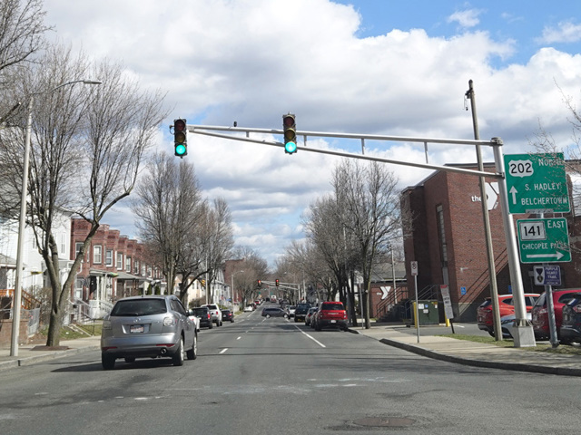
US 202 extends from Wilmington, Delaware, to Bangor, Maine. It primarily passes through rural areas, avoiding major cities such as New York, Hartford, and Boston. The portion in Massachusetts passes through the middle of the state. It enters Massachusetts from Connecticut multiplexed with CT 10, which becomes MA 10 at the state line. The two routes run north through Westfield and have an interchange with the Massachusetts Turnpike (I-90) at exit 41. Shortly thereafter, US 202 splits off to the east toward Holyoke. There is an interchange with I-91 at exit 14. After passing through the downtown area of Holyoke, it crosses the Connecticut River to South Hadley.
On the other side of the river, it continues east to Belchertown and then turns north again. For much of this section it is known as Daniel Shays Highway. Eventually, it reaches Orange, where there is an interchange with Mohawk Trail (MA 2). US 202 is routed along Mohawk Trail (MA 2), which is an expressway in this area, to Phillipston, where it splits off to the north again. It passes Baldwinville and Winchendon before reaching the state line and crossing into New Hampshire.
| Photo Gallery |
|---|
| Map |