South Main Street, North Main Street, Jacobs Ladder Road, Main Street, South Washington State Road, North Washington State Road, Washington Road, Hinsdale Road, Dalton Avenue, Cheshire Road, South State Road, South Street, North Street, North State Road, Grove Street, Commercial Street, Park Street, Columbia Street, Howland Avenue, Curran Highway, State Street, Beaver Street, River Road
- Direction:
- North/South
- Southern Terminus:
- Colebrook River Road (CT 8) at the Connecticut-Massachusetts state line
- Northern Terminus:
- Main Road (VT 8/VT 100) at the Massachusetts-Vermont state line
- Distance:
- 66.59 miles
- Counties:
- Berkshire
- Signed:
- Yes
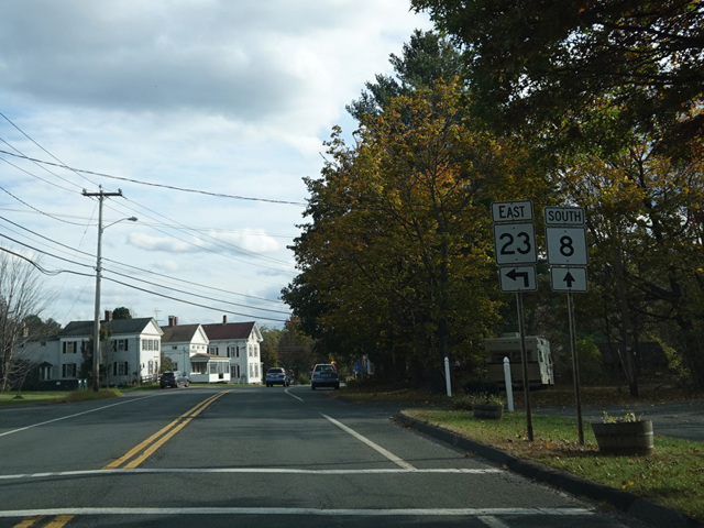
MA 8 is a north/south route through the Berkshires, continuing CT 8 into Massachusetts. It enters the state in Sandisfield and runs north through Otis before reaching Jacobs Ladder Road (US 20) in Becket. The two routes are multiplexed to the east for a few miles, crossing the Massachusetts Turnpike (I-90) with no interchange. It continues north to Dalton, where it is multiplexed with MA 9 along Main Street and Dalton Avenue to Pittsfield, where it turns north again. It eventually reaches North Adams, where it follows Mohawk Trail (MA 2) for a short distance to the east and splits off to continue north to the state line, where it becomes VT 8.
| Photo Gallery |
|---|
| Map |