- Direction:
- East/West
- Western Terminus:
- Mohawk Trail (MA 2) in Orange
- Eastern Terminus:
- Commonwealth Avenue (MA 2) in Boston
- Distance:
- 81.62 miles
- Counties:
- Franklin, Worcester, Middlesex, Suffolk
- Signed:
- Yes
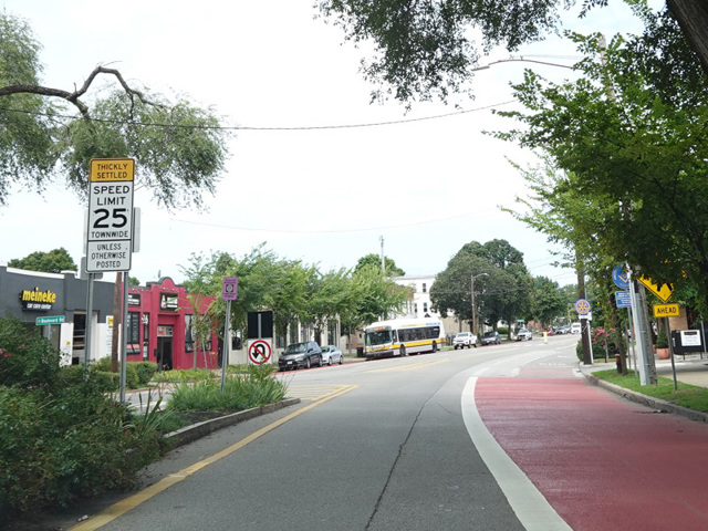
MA 2A is a major east/west route across the eastern half of Massachusetts, serving as an alternative to MA 2. While MA 2 is an expressway for a significant portion of its length, MA 2A is routed along surface roads. It begins at Mohawk Trail (MA 2) in Orange and runs east to the Boston area. MA 2A eventually reaches Cambridge, where it follows Massachusetts Avenue through the city. Massachusetts Avenue crosses the Charles River to Boston via the Harvard Bridge. On the other side, MA 2A ends at Commonwealth Avenue (MA 2).
There are also two short sections of MA 2A, one in Shelburne Falls and one in Greenfield. Both are loops off of MA 2. MA 2A is officially considered to be multiplexed with MA 2 between the three sections, but these multiplexed portions are unsigned.
| Photo Gallery |
|---|
| Map |