
- Direction:
- North/South
- Southern Terminus:
- Mid-Cape Highway (US 6) in Orleans
- Northern Terminus:
- South Broadway (NH 28) at the Massachusetts-New Hampshire state line
- Distance:
- 151.93 miles
- Counties:
- Barnstable, Plymouth, Norfolk, Suffolk, Middlesex, Essex
- Signed:
- Yes
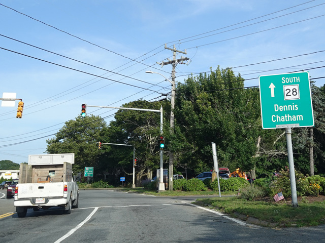
MA 28 begins in Orleans on Cape Cod. It runs south to Chatham. Along the section between Orleans and Chatham, the direction signed as north actually runs south and vice versa, which is confusing. In Chatham, MA 28 turns west and serves as the southernmost east/west route on Cape Cod. Once again, the signed compass directions are confusing, as MA 28 runs east/west for about 40 miles between Chatham and Falmouth despite being signed as a north/south route for its entire length.
In Falmouth, MA 28 turns to the north and becomes an expressway that crosses Cape Cod. The Bourne Bridge carries MA 28 over the Cape Cod Canal. On the other side, MA 28 follows US 6 west to East Wareham, where the two routes split. MA 28 runs northwest, providing a local alternative to I-495, until Middleboro, where there is a rotary at US 44 and MA 18. MA 28 follows MA 18 north to Bridgewater. After the two routes split, MA 28 continues north to Boston.
MA 28 runs through the center of the city near Boston Common. It then merges with Storrow Drive to form Embankment Road, a short highway along the Charles River. At the first exit, MA 3 joins MA 28 along Embankment Road. At the next exit, MA 28 splits off to cross the Charles River to Cambridge, while Embankment Road continues as MA 3 to end at I-93. On the other side of the Charles River, MA 28 continues north, running parallel to I-93 and passing through the Middlesex Fells Reservation. It eventually reaches the state line in Methuen and becomes NH 28 upon entering New Hampshire.
| Photo Gallery |
|---|