- Direction:
- East/West
- Western Terminus:
- Taconic Trail (NY 2) at the New York-Massachusetts state line
- Eastern Terminus:
- Charles Street South (MA 28) and David G. Mugar Way (MA 28) in Boston
- Distance:
- 142.30 miles
- Counties:
- Berkshire, Franklin, Worcester, Middlesex, Suffolk, Norfolk
- Signed:
- Yes
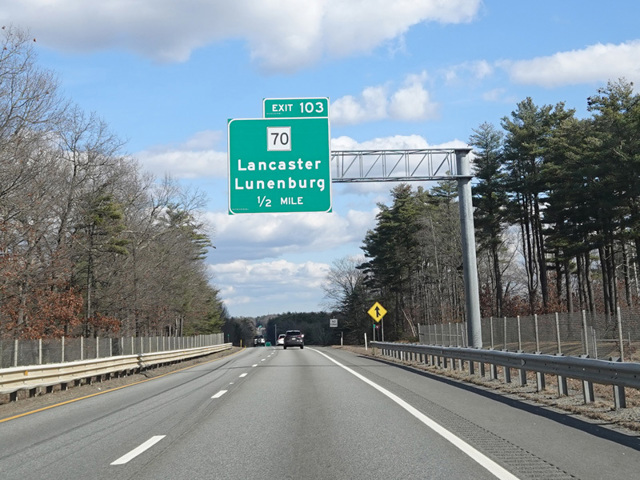
MA 2 is a major east/west route across Massachusetts, passing through the northern part of the state. It begins at the state line, where Taconic Trail changes designation from NY 2 to MA 2. After a few miles, Taconic Trail ends at Cold Spring Road (US 7). The two routes are multiplexed to the north along Cold Spring Road to Williamstown, where they split. MA 2 continues east to North Adams, where it is multiplexed with MA 8 for a short distance. After the two routes split, MA 2 is known as Mohawk Trail and is a scenic route through the mountains.
Near Greenfield, there is an interchange with I-91. MA 2 joins I-91 for one exit to the north and then splits off again, bypassing the downtown area of Greenfield. In this area, it is known as French King Highway. After some distance, MA 2 becomes an expressway. It runs for a significant distance, having an interchange with I-190 at its northern terminus. Shortly after crossing I-495, the expressway ends as MA 2 merges with Massachusetts Avenue (MA 111) in Action. It runs east as a four-lane surface road, mostly divided with a grass median, from Acton to Concord. It is known in this area as Massachusetts Avenue, Union Turnpike, and Elm Street. In Concord, MA 2 splits off from Elm Street to become an expressway known as Concord Turnpike. It has an interchange with I-95/MA 128 and runs east to Cambridge, where it ends at Alewife Brook Parkway.
MA 2 is multiplexed with MA 3 through Cambridge along Alewife Brook Parkway, Fresh Pond Parkway, Gerry's Landing Road, and Memorial Drive. It splits off from Memorial Drive and crosses the Charles River on the Boston University Bridge to Boston. On the other side, it follows Mountfort Street and Beacon Street to Commonwealth Avenue, which is a large divided roadway with a park in the median. This intersection is the eastern terminus of US 20, which follows Commonwealth Avenue west of this point. MA 2 follows Commonwealth Avenue to the east for the remainder of its length to where it ends at the Boston Public Garden. The final portion of MA 2 is a loop around the Public Garden via Arlington Street, Boylston Street, Charles Street, and Beacon Street. MA 28 also circumnavigates the Public Garden via these streets and is accessible from the eastern terminus of MA 2.
| Photo Gallery |
|---|
| Map |