- Direction:
- North/South
- Southern Terminus:
- I-91 in Chicopee
- Northern Terminus:
- Commercial Street (MA 8) in Adams
- Distance:
- 68.79 miles
- Counties:
- Hampden, Hampshire, Franklin, Berkshire
- Signed:
- Yes
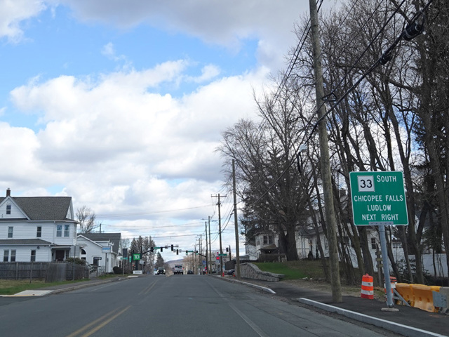
MA 116 is an L-shaped route extending from the Springfield area to the Berkshires. While it is consistently signed as a north/south route, it does more east and west than north and south in reality. It begins in Chicopee, where Center Street becomes MA 116 upon passing under I-91 right near the southern terminus of I-391. There is no direct interchange with I-91, but there is an interchange with I-391 at its first exit. MA 116 crosses the Connecticut River twice as it passes through Holyoke and then runs north through South Hadley and Mount Holyoke Range State Park to reach Amherst. There, it turns west onto Northampton Road (MA 9) for a short distance and then north again. There is a short expressway section with a single exit for the University of Massachusetts Amherst. After the expressway ends, MA 116 gradually curves to the west. In Sunderland, it crosses the Connecticut River once again. On the other side, it is multiplexed with US 5 to the north for about a mile. After splitting off, it has a partial interchange with I-91. Then, it runs west into the Berkshires for the remainder of its length. It ends at Commercial Street (MA 8) in Adams.
| Photo Gallery |
|---|
| Map |